Blackland TX · ← All the original surveys
William Bryant Survey, Abstract 102
- Granted to
- William Bryant
- Kind of grant
- Headright, third classLand for later settlers, including the colonists of Mercer’s Colony.
- Land Office file
- Robertson 3rd class, file 3223
- Certificate
- No. 9
- Acres
- 154
- Patented to
- J. W. P. Doyle
- Patent
- 07 Jan 1858 · No. 1155, Vol. 15
Tap a survey to open its page.
What the file shows
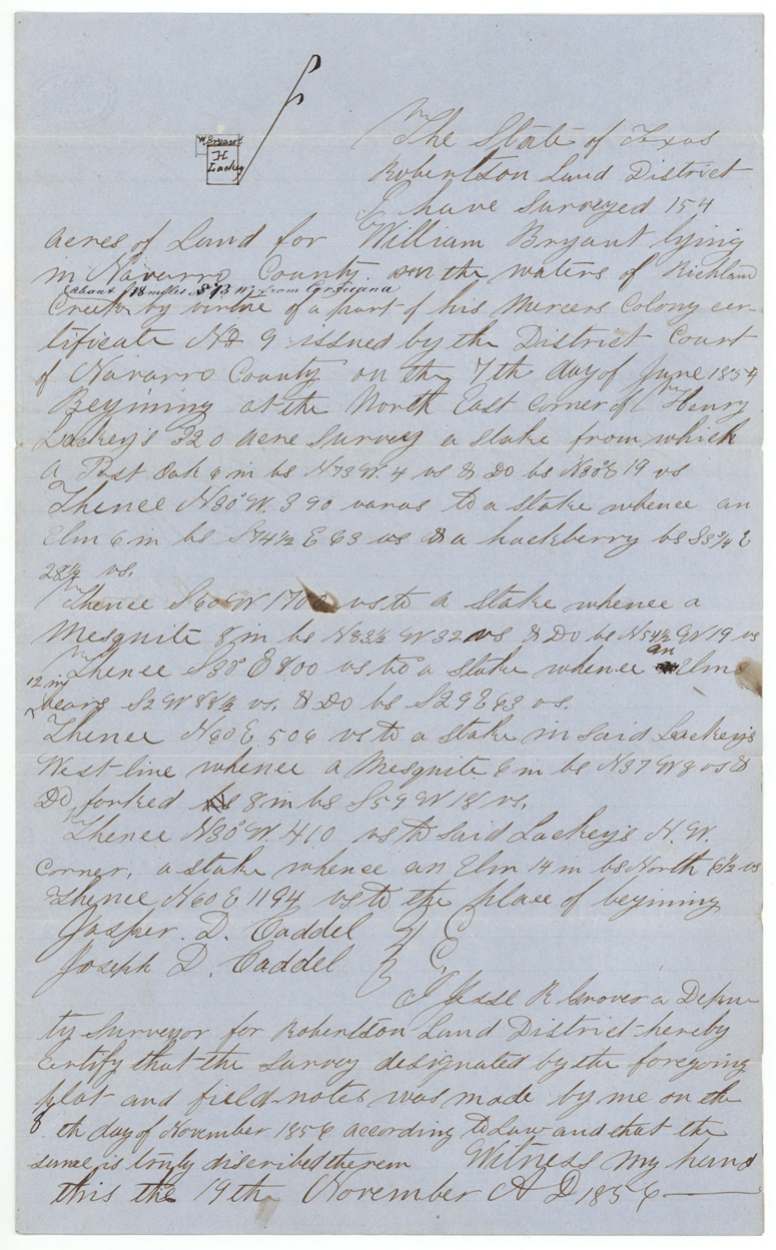
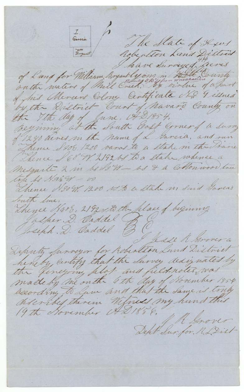
On 5–7 June 1854 the Navarro County District Court, Judge John H. Reagan presiding, found that William Bryant had proved his citizenship and issued him Mercer's Colony certificate No. 9 for 640 acres. Two days later Bryant, signing by his mark, sold the certificate to J. W. P. Doyle for $200. In November 1856 deputy surveyor Jesse R. Grover laid it in three pieces: 466 acres on Mill Creek in Ellis County, 154 acres on Richland Creek in Navarro County (this abstract) next to Henry Lackey's survey, and 20 acres on White Rock Creek in Hill County. All three were patented to Doyle as assignee in January 1858.
The certificate
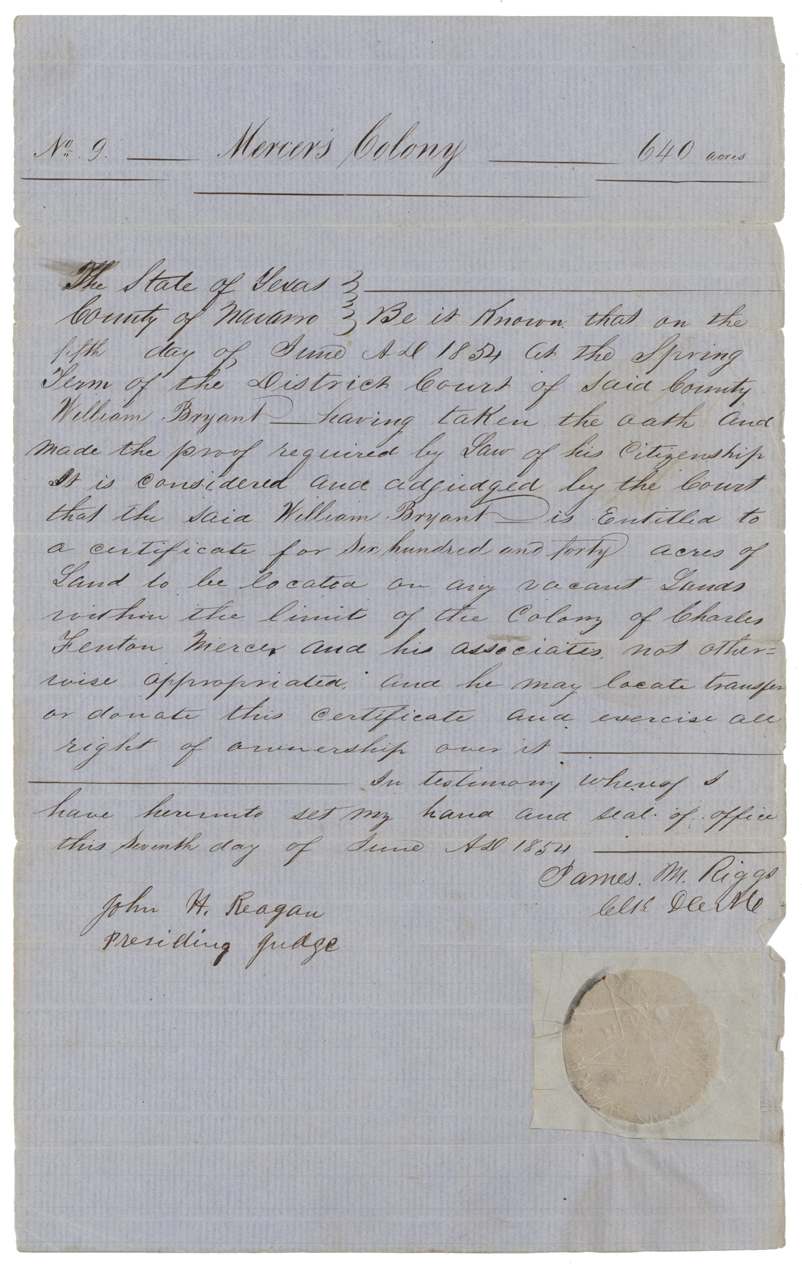
headright 3rd class (Mercer's Colony certificate), No. 9, 640 acres, District Court of Navarro County, Spring Term — John H. Reagan, presiding judge; James M. Riggs, clerk, Navarro County, 1854-06-07 (judgment 5 June 1854; certificate signed and sealed 7 June 1854).
William Bryant took the oath and made the proof required by law of his citizenship; entitled to 640 acres to be located on any vacant land within the limits of the colony of Charles Fenton Mercer and associates not otherwise appropriated
Changes of hand
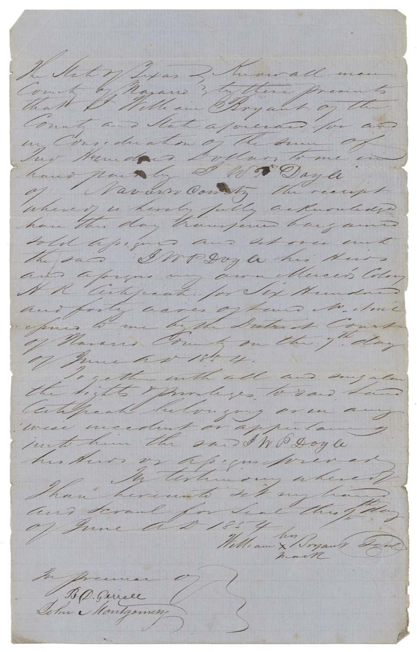
- 9 Jun 1854William Bryant (signs by his mark), of Navarro County → J. W. P. Doyle, of Navarro County, $200, Navarro County. Sells his Mercer's Colony headright certificate for 640 acres issued 7 June 1854 — two days after the court ruled. Filed in GLO June 16, 1857.
The survey
1856-11-07 (certified Nov 19, 1856), Jesse R. Grover, Deputy Surveyor, Robertson Land District.
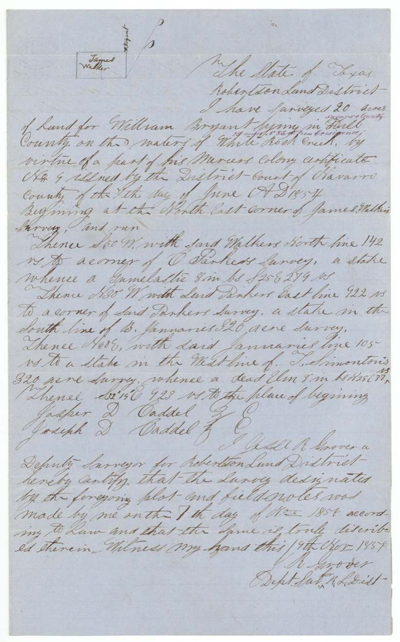
'Hill' County (overwritten in purple 'Navarro County', '23 miles N 85 W(?) from Corsicana'), on the waters of White Rock Creek
Chain carriers: Jasper D. Caddel, Joseph D. Caddel.
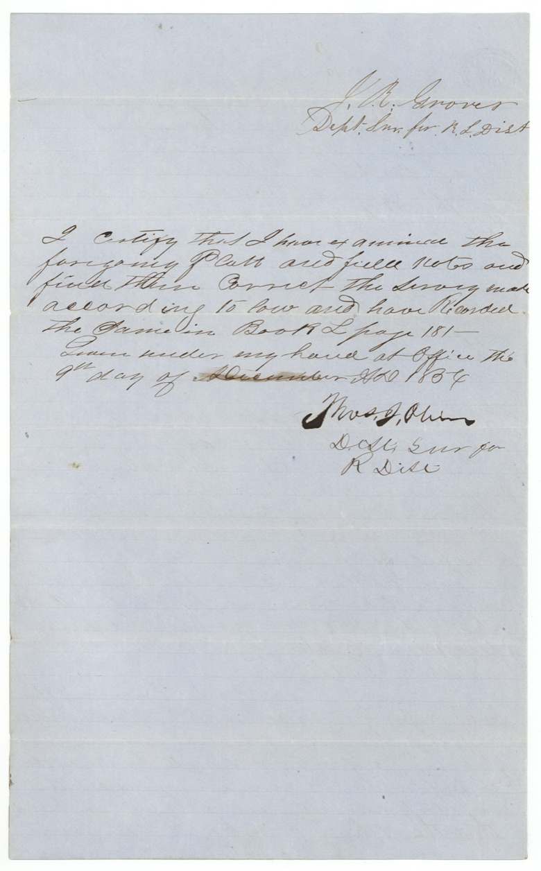
Book L, page 180
The survey
1856-11-08 (certified Nov 19, 1856), Jesse R. Grover, Deputy Surveyor, Robertson Land District.
Navarro County, on the waters of Richland Creek, about 18 miles S 13(?) W from Corsicana
Chain carriers: Jasper D. Caddel, Joseph D. Caddel.
Book L, page 181
The survey
1856-11-06 (certified Nov 19, 1856), Jesse R. Grover, Deputy Surveyor, Robertson Land District.
'Hill' County struck, 'Ellis' written in; on the waters of Mill Creek, 17 miles S 13 E(?) from Waxahachie
Chain carriers: Jasper D. Caddel, Joseph D. Caddel.
Book L, page 178
The patent
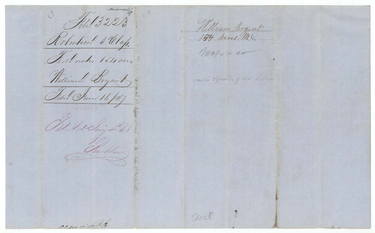
1858-01-04 to 1858-01-09 (wrappers: 'Patented Jany 4th 1858'; jacket lists separate dates per survey), 466 acres: No. 520 Vol. 16(?); 154 acres: No. 1155 Vol. 15 (Jan 7, 1858); 20 acres: No. 1162 Vol. 15 (both 9 Jan 1858 per jacket), to J. W. P. Doyle, assignee, delivered to 20-acre patent delivered to ___ Carrol(?) Feb 16/58.
Also in the file
- Bryant sold his 640-acre colony certificate for $200 just two days after the court granted it — he never located any of the land himself.
- The 640 acres were split into three pieces in three counties: 466 acres in Ellis, 154 in Navarro and a 20-acre sliver in Hill.
- The surveyor first wrote 'Hill County' on two of the surveys; the Land Office corrected one to Ellis County and the 20-acre piece went back and forth between Hill and Navarro before settling as Hill.
- Bryant signed by his mark, so he could not write his name.
- The surveys were found lacking the district surveyor's signature when filed and had to be cured before patent.
Timeline
- 5 Jun 1854Navarro District Court finds William Bryant entitled to a Mercer's Colony certificate
- 7 Jun 1854Certificate No. 9 for 640 acres issued, Judge John H. Reagan
- 9 Jun 1854Bryant sells the certificate to J. W. P. Doyle for $200
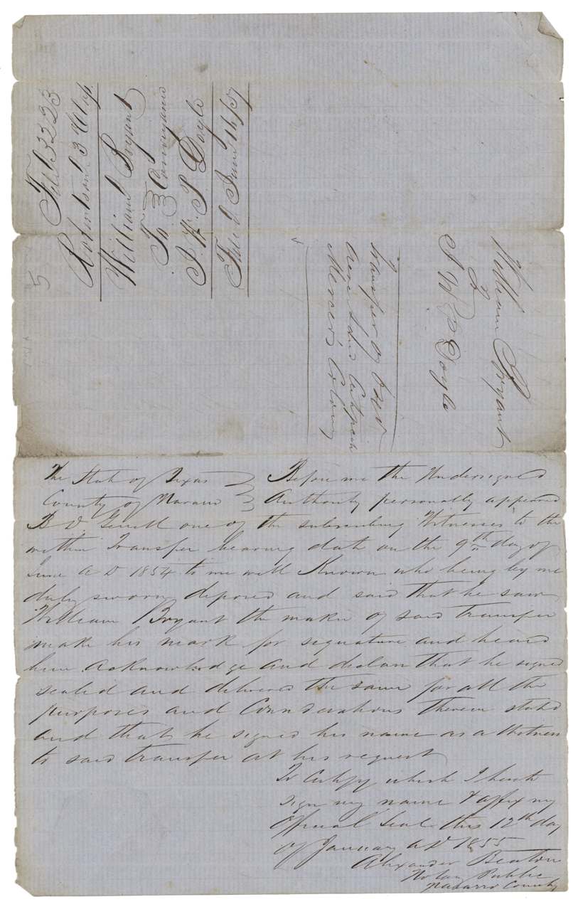
- 12 Jan 1855Transfer proved before notary Alexander Beaton
- 6 Nov 1856466 acres surveyed on Mill Creek (Ellis Co.)
- 7 Nov 185620 acres surveyed on White Rock Creek
- 8 Nov 1856154 acres surveyed on Richland Creek, Navarro Co.
- 9 Dec 1856All three recorded, Book L pp. 178, 180, 181
- 16 Jun 1857Certificate, field notes and transfer filed in GLO
- 22 Dec 1857Three surveys found correct on map
- 4 Jan 1858Patents issued to J. W. P. Doyle, assignee
The papers in the file
Every page of the Land Office file, in the order the Land Office keeps them (14 pages). Tap a page to see it larger.
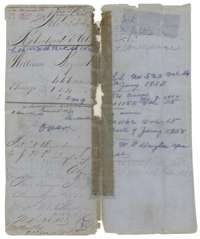 File jacketFile jacket for William Bryant's three surveys of 466, 154 and 20 acres, listing the certificate, three sets of field notes and a conveyance, patented January 1858.General Land Office, file 3223, page 1 · in the scan
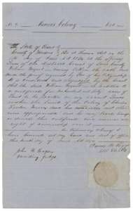 CertificateMercer's Colony certificate No. 9 for 640 acres to William Bryant, issued by the Navarro County District Court, 7 June 1854.General Land Office, file 3223, page 2 · in the scan
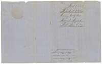 Back of the certificateBack of the certificate, endorsed Colony Certificate, William Bryant, filed 16 June 1857.General Land Office, file 3223, page 3 · in the scan
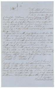 Field notesField notes for 20 acres on the waters of White Rock Creek, surveyed for William Bryant by deputy surveyor Jesse R. Grover, 7 November 1856.General Land Office, file 3223, page 4 · in the scan
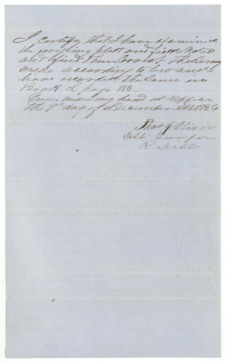
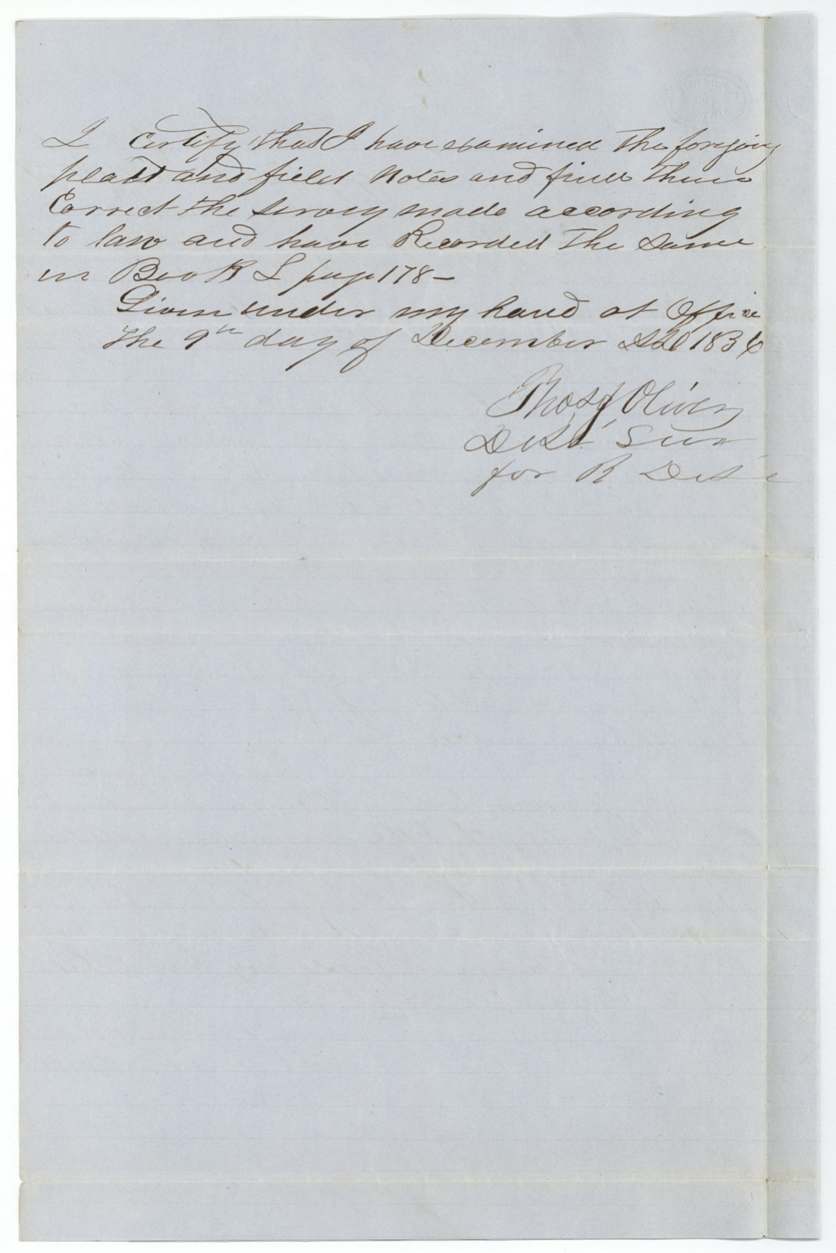
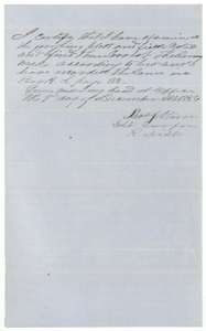 Surveyor's certificateCertificate of district surveyor Thos. J. Oliver, 9 December 1856, that the 20-acre field notes were examined and recorded in Book L, page 180.General Land Office, file 3223, page 5 · in the scan
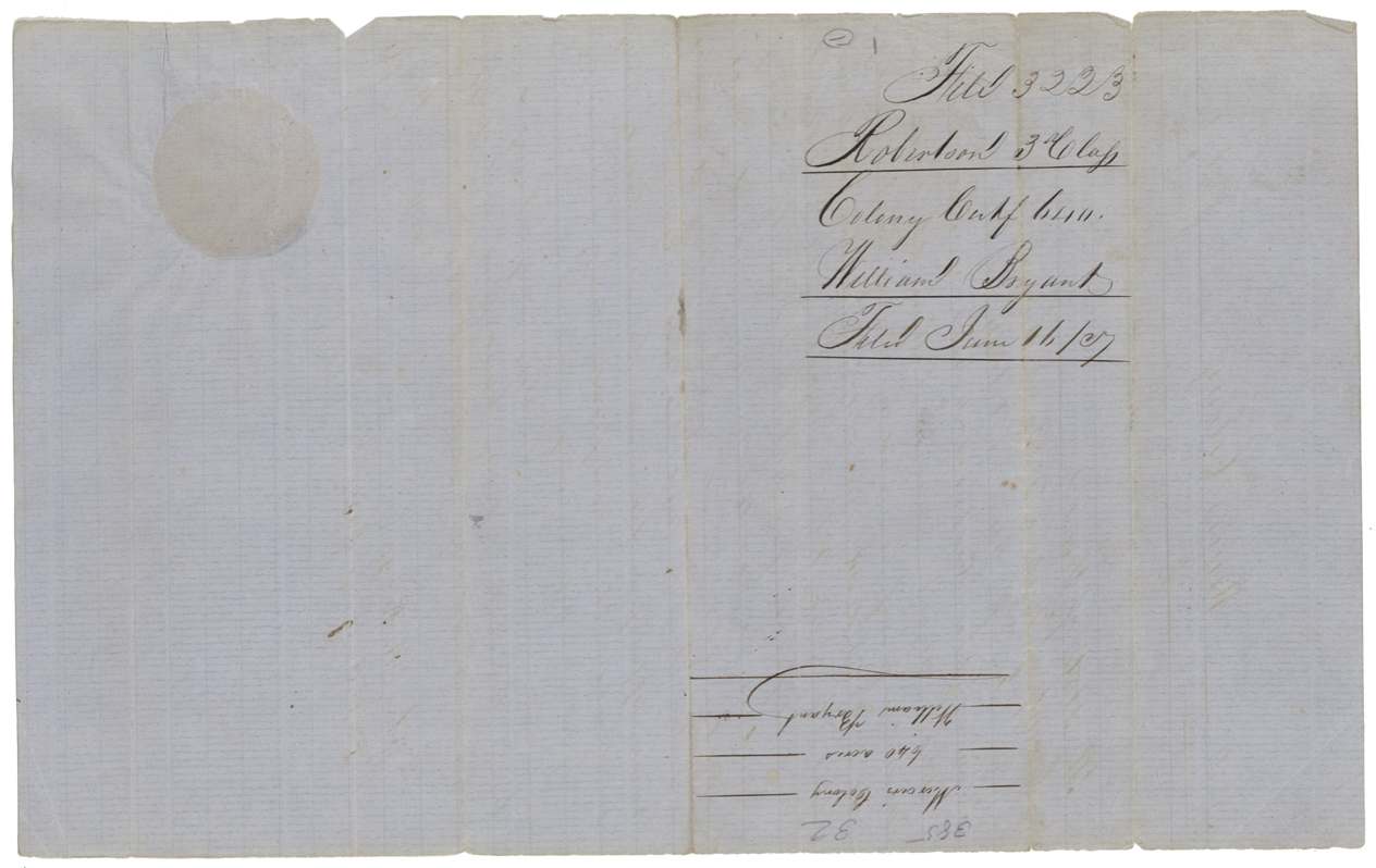
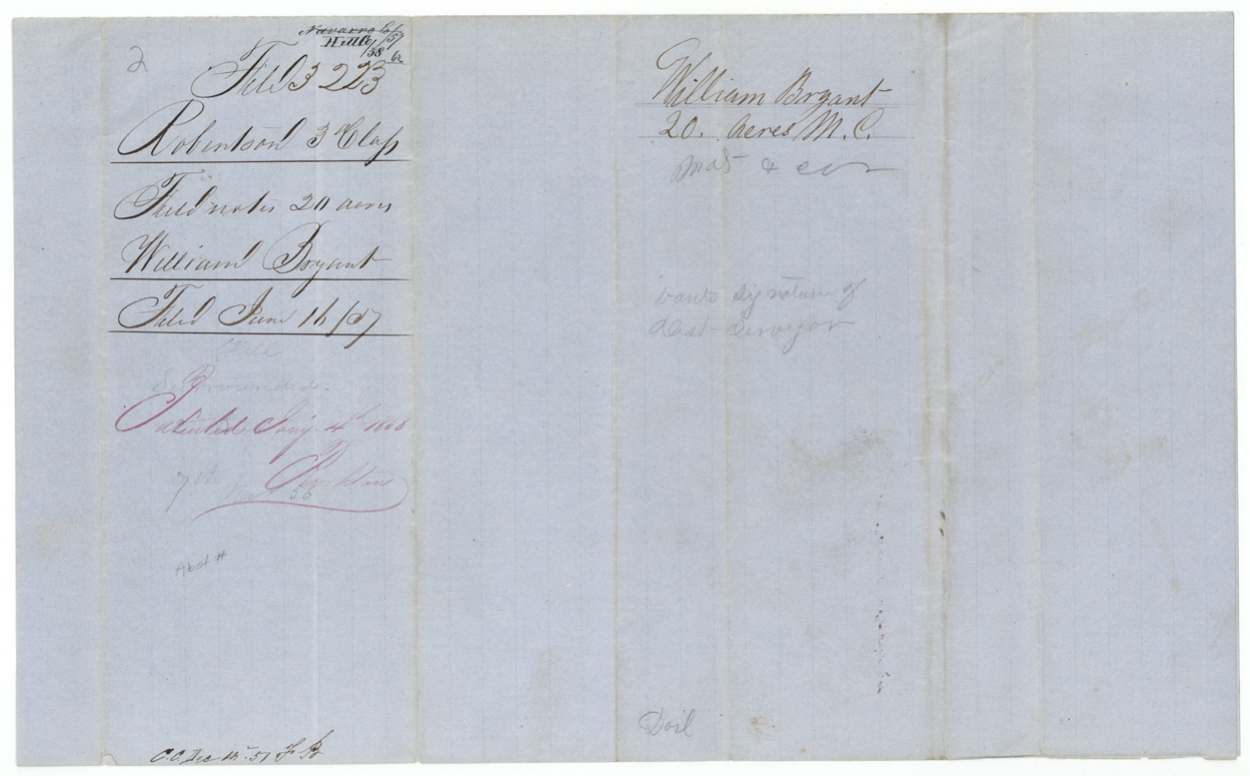
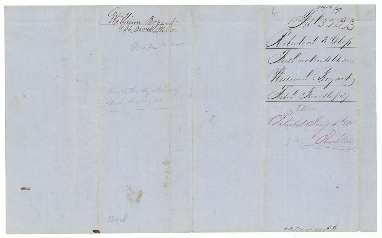
 WrapperField-notes jacket for William Bryant's 20 acres, filed 16 June 1857 and patented in January 1858.General Land Office, file 3223, page 6 · in the scan
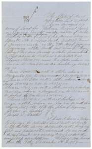 Field notesField notes for 154 acres on the waters of Richland Creek, surveyed for William Bryant by deputy surveyor Jesse R. Grover, 8 November 1856.General Land Office, file 3223, page 7 · in the scan
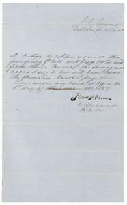 Surveyor's certificateCertificate of district surveyor Thos. J. Oliver, 9 December 1856, that the 154-acre field notes were examined and recorded in Book L, page 181.General Land Office, file 3223, page 8 · in the scan
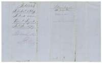 WrapperField-notes jacket for William Bryant's 154 acres, filed 16 June 1857 and patented in January 1858.General Land Office, file 3223, page 9 · in the scan
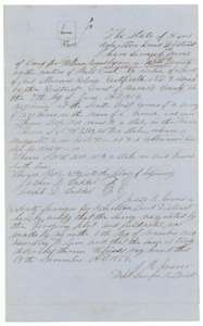 Field notesField notes for 466 acres on the waters of Mill Creek, surveyed for William Bryant by deputy surveyor Jesse R. Grover, 6 November 1856.General Land Office, file 3223, page 10 · in the scan
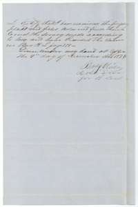 Surveyor's certificateCertificate of district surveyor Thos. J. Oliver, 9 December 1856, that the 466-acre field notes were examined and recorded in Book L, page 178.General Land Office, file 3223, page 11 · in the scan
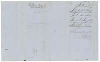 WrapperField-notes jacket for William Bryant's 466 acres, filed 16 June 1857 and patented in January 1858.General Land Office, file 3223, page 12 · in the scan
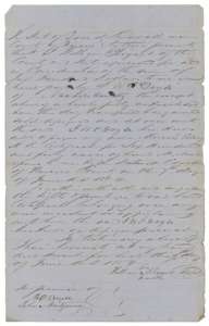 TransferTransfer of 9 June 1854 by William Bryant of his Mercer's Colony certificate for 640 acres to J. W. P. Doyle for $200.General Land Office, file 3223, page 13 · in the scan
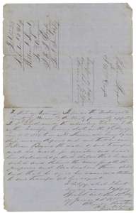 TransferBack of the Bryant to Doyle transfer, with the proof of Bryant's mark before notary Alexander Beaton, 12 January 1855.General Land Office, file 3223, page 14 · in the scan
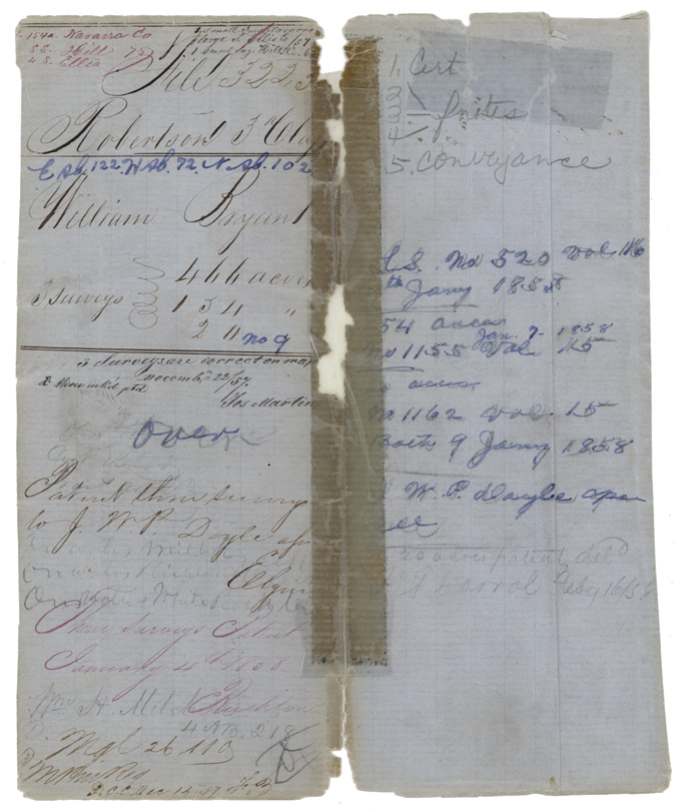
Scans courtesy of the Texas General Land Office, Austin, from its Land Grant Database.
Neighbouring surveys
Sources
- Texas General Land Office, Land Grant Database: Navarro County, Abstract 102
- The Land Office file, scanned (PDF, at the General Land Office)
- 1924 map: courtesy of the Texas General Land Office, Austin, Map 73249, used under licence. Topo: U.S. Geological Survey, The National Map. Aerial photographs: U.S. Department of Agriculture, National Agriculture Imagery Program, 2012, 2018 and 2022. Survey outlines: Railroad Commission of Texas, Original Texas Land Survey. Grant records and files: Texas General Land Office.