Blackland TX · ← All the original surveys
G. B. Rollins Survey, Abstract 719
- Granted to
- G. B. Rollins
- Kind of grant
- Land scripLand bought from the Republic with scrip.
- Land Office file
- Robertson Scrip, file 1153
- Acres
- 160
- Patented to
- G. B. Rollins
- Patent
- 06 May 1863 · No. 378, Vol. 16
Tap a survey to open its page.
What the file shows
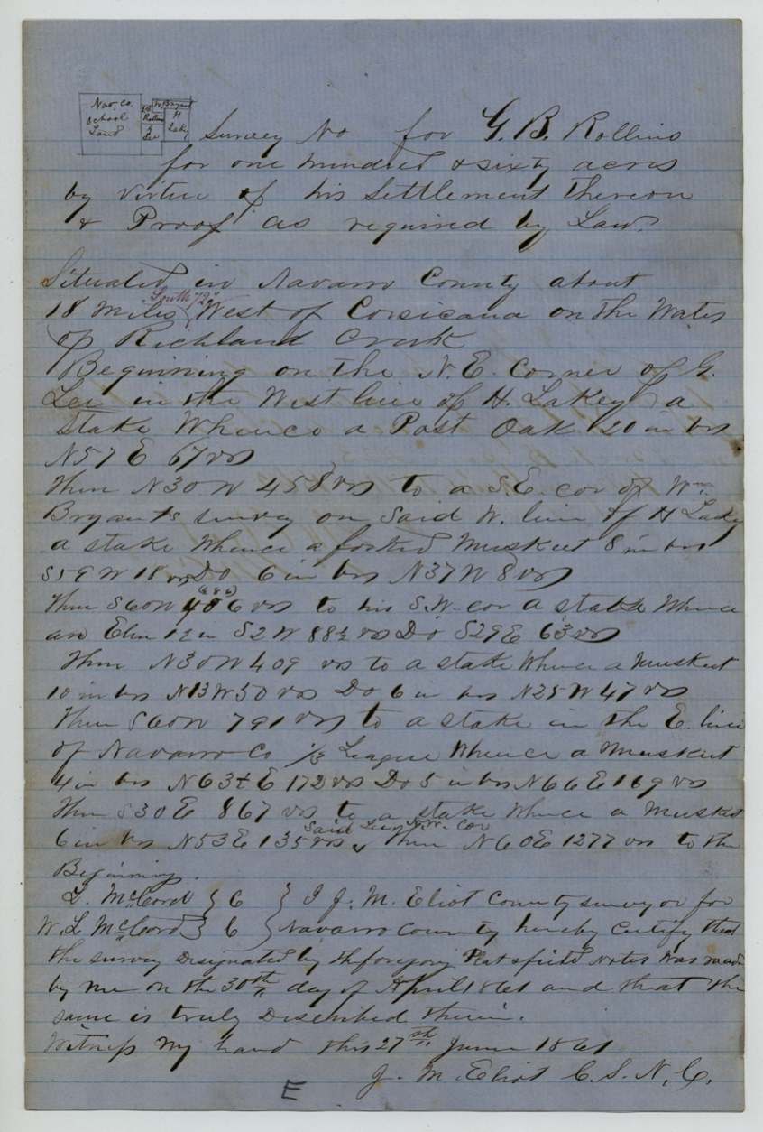
G. B. Rollins (who signed his name Rawlings) was a settler on vacant public land about 18 miles southwest of Corsicana on the waters of Richland Creek. He applied in November 1860 to buy 160 acres under the 1 February 1860 act authorizing the sale of the public domain, and in March 1861 swore, with neighbours W. H. Thompson and David Wood, that he was settled there. County surveyor J. M. Eliot surveyed the tract on 30 April 1861 between G. Lee, H. Lakey, Wm. Bryant and the Navarro County school land. After the purchase money was paid, the patent issued to Rollins on 6 May 1863 (No. 378, Vol. 16).
The certificate
preemption (settler's purchase under the Act of 1 Feb 1860 'to authorize the sale of the Public Domain'), 160 acres, No certificate; claim rests on affidavit of settlement and purchase money paid to the State (Treasurer's receipt), Navarro County, 1861-03-05(?) (affidavit sworn); purchase money certified paid by 1863.
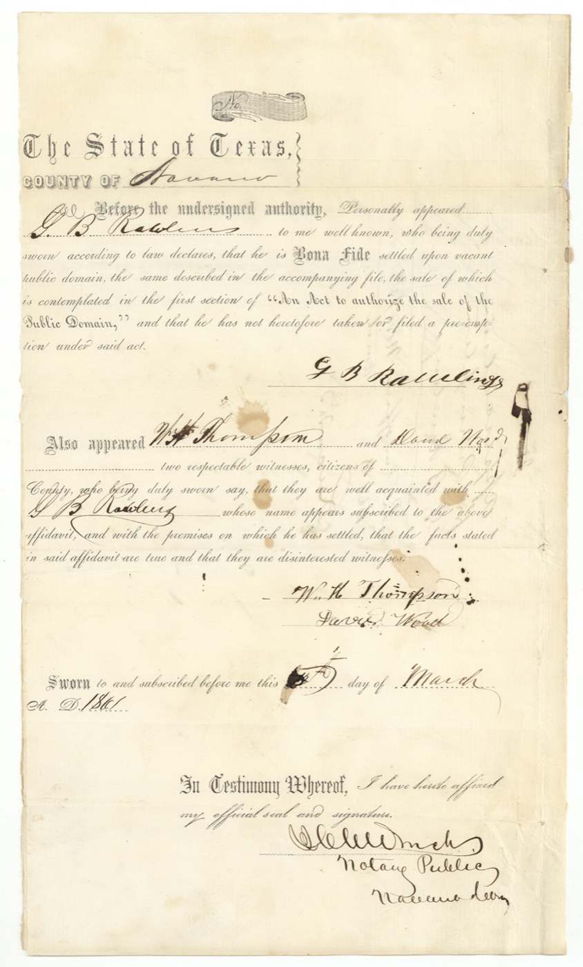
G. B. Rawlings swore he was bona fide settled on vacant public domain, the sale of which is contemplated in section 1 of 'An Act to authorize the sale of the Public Domain', and had not taken or filed a preemption under that act. The survey is 'by virtue of his settlement thereon and proof as required by law.'
The survey
1861-04-30 (certified 27 June 1861), J. M. Eliot, County Surveyor of Navarro County.
Navarro County about 18 miles South 72 deg West of Corsicana on the waters of Richland Creek; begins at the N.E. corner of G. Lee in the west line of H. Lakey; touches Wm. Bryant's survey; runs to the east line of the Navarro County school land (1/3 league)
Chain carriers: L. McCord(?), W. L. McCord.
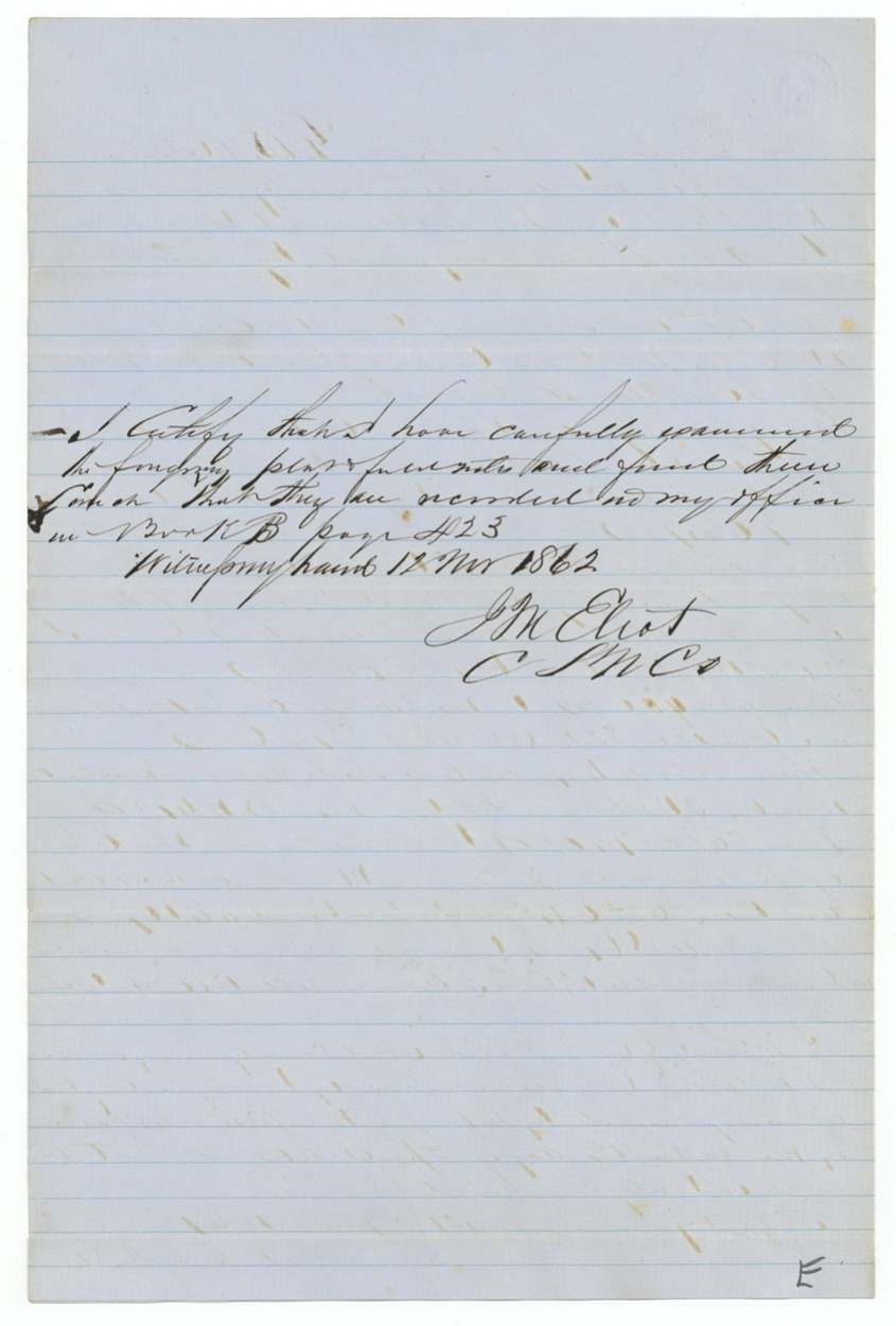
Book B, page 423
The patent
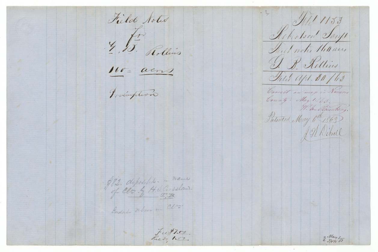
6 May 1863, No. 378, Vol. 16, to G. B. Rollins, original grantee ('orig'), delivered to H. L. Crossland(?) (pencil, with a word read as 'Grand' (?)).
Also in the file
- The settler's name is written 'Rollins' by the land office and surveyor but he signed 'Rawlings'.
- Although filed under 'Robertson Scrip', this is a settler's purchase of 160 acres under the 1860 sale act, not a scrip location.
- The designation was received in November 1860, before the March 1861 affidavit it says accompanies it.
- The patent issued in May 1863, in the middle of the Civil War.
Timeline
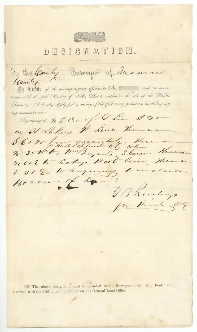
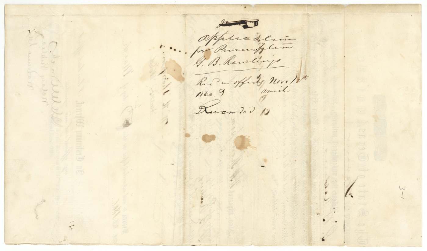
- 12 Nov 1860Rawlings's application (designation) for survey received in the Navarro County surveyor's office
- Mar 1861Rawlings swears he is settled on vacant public land; W. H. Thompson and David Wood confirm
- 30 Apr 1861County surveyor J. M. Eliot surveys 160 acres on Richland Creek, 18 miles SW of Corsicana
- 27 Jun 1861Eliot certifies the survey
- 12 Nov 1862Field notes recorded, Book B p. 423 (date reading uncertain)
- 30 Apr 1863Field notes and affidavit filed in the General Land Office
- 1 May 1863Checked correct on Navarro County map (W. von Rosenberg)
- 6 May 1863Patent No. 378 Vol. 16 issued to G. B. Rollins
- 29 May 1863County surveyor notes receipt of the Commissioner's certificate of full payment
The papers in the file
Every page of the Land Office file, in the order the Land Office keeps them (10 pages). Tap a page to see it larger.
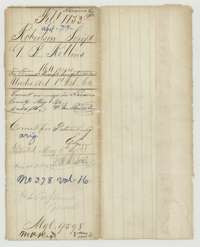 File jacketFile jacket for G. B. Rollins' 160-acre settler's claim in Navarro County, with the patent of 6 May 1863.General Land Office, file 1153, page 1 · in the scan
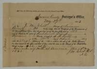 ReceiptNavarro County surveyor's receipt of 29 May 1863 certifying that the purchase money for G. B. Rollins' 160 acres on Richland Creek was fully paid.General Land Office, file 1153, page 2 · in the scan
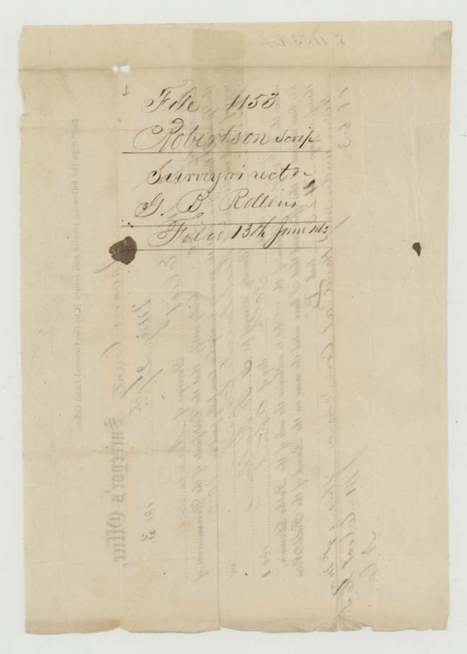
 WrapperBack of the surveyor's receipt, with the docket and the Land Office filing note of 13 June 1863.General Land Office, file 1153, page 3 · in the scan
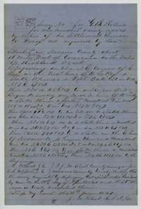 Field notesField notes for 160 acres on the waters of Richland Creek, surveyed for G. B. Rollins by county surveyor J. M. Eliot, 30 April 1861, with a small sketch.General Land Office, file 1153, page 4 · in the scan
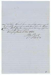 Surveyor's certificateCounty surveyor J. M. Eliot's certificate that the Rollins plat and field notes were examined and recorded in Book B, page 423.General Land Office, file 1153, page 5 · in the scan
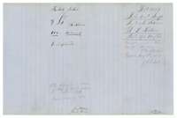 WrapperField notes jacket for G. B. Rollins' 160 acres, with the Land Office filing note of 30 April 1863 and a note of the patent.General Land Office, file 1153, page 6 · in the scan
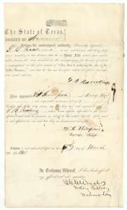 AffidavitPrinted settler's affidavit of G. B. Rawlings, sworn in March 1861, that he lives on vacant public land, with two witnesses and a notary's seal.General Land Office, file 1153, page 7 · in the scan
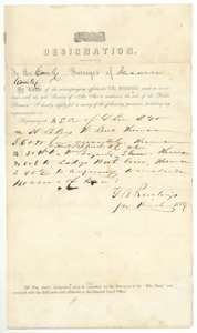 Other papersPrinted designation signed by G. B. Rawlings asking the county surveyor to survey 160 acres including his improvements in Navarro County.General Land Office, file 1153, page 8 · in the scan
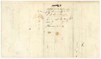 WrapperBack of the designation, endorsed as an application for preemption received in the surveyor's office on 12 November 1860.General Land Office, file 1153, page 9 · in the scan
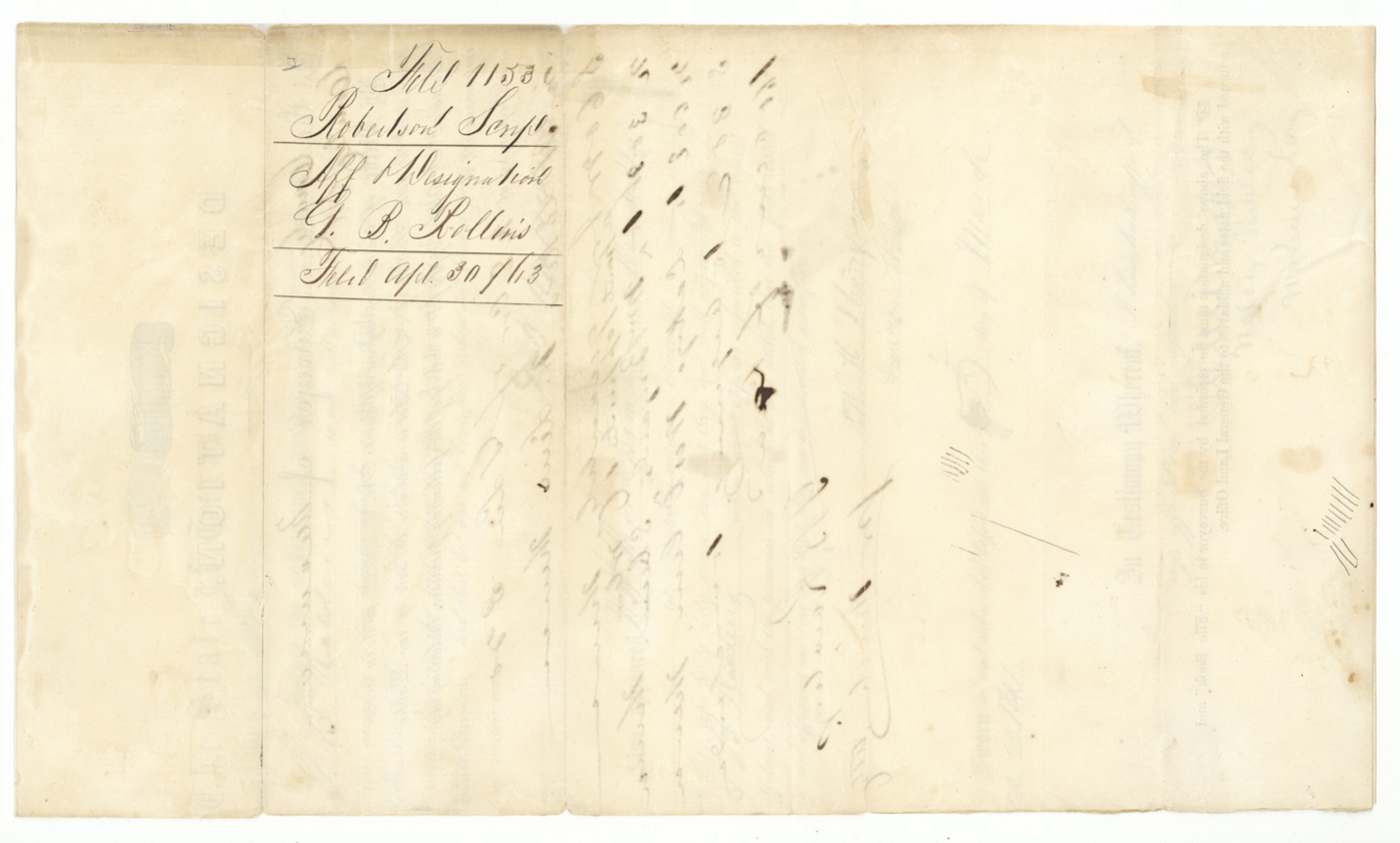
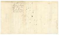 WrapperBack of the affidavit and designation, with the docket and the Land Office filing note of 30 April 1863.General Land Office, file 1153, page 10 · in the scan
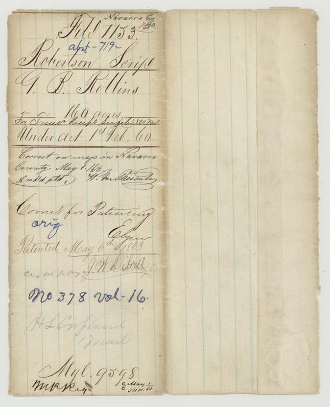
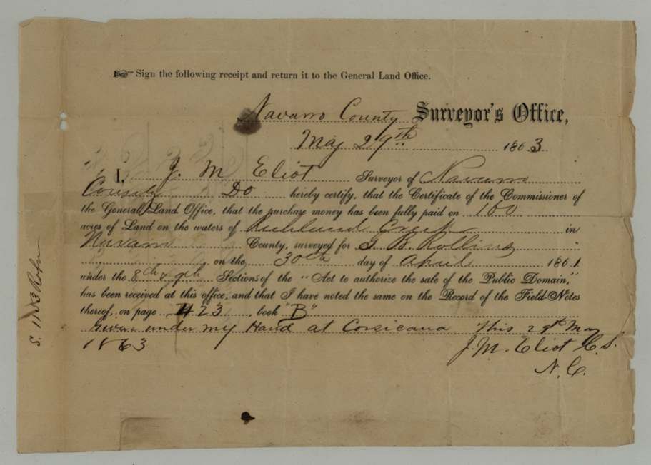
Scans courtesy of the Texas General Land Office, Austin, from its Land Grant Database.
Neighbouring surveys
Sources
- Texas General Land Office, Land Grant Database: Navarro County, Abstract 719
- The Land Office file, scanned (PDF, at the General Land Office)
- 1924 map: courtesy of the Texas General Land Office, Austin, Map 73249, used under licence. Topo: U.S. Geological Survey, The National Map. Aerial photographs: U.S. Department of Agriculture, National Agriculture Imagery Program, 2012, 2018 and 2022. Survey outlines: Railroad Commission of Texas, Original Texas Land Survey. Grant records and files: Texas General Land Office.