Blackland TX · ← All the original surveys
Grisham Lee Survey, Abstract 496
- Granted to
- Grisham Lee
- Kind of grant
- Headright, third classLand for later settlers, including the colonists of Mercer’s Colony.
- Land Office file
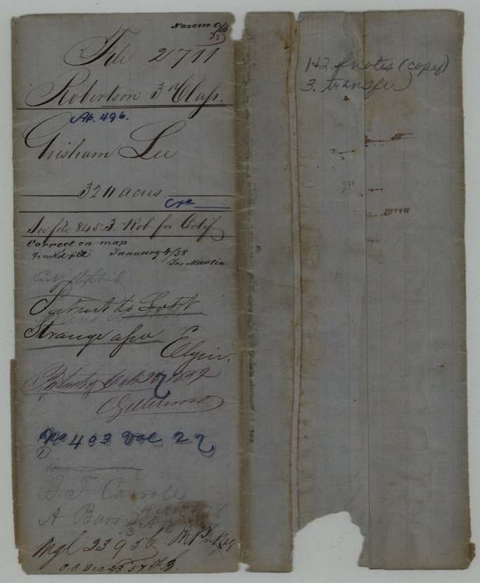
- Robertson 3rd class, file 2711
- Acres
- 320
- Patented to
- Lott Strange
- Patent
- 27 Oct 1859 · No. 403, Vol. 27
Tap a survey to open its page.
What the file shows
Grisham Lee held Mercer's Colony certificate No. 52 for 640 acres, issued by colony commissioner John M. Crockett on 15 April 1850. Deputy surveyor David R. Mitchell located half of it, 320 acres, on the north side of Richland Creek on 19 June 1850, next to the Chancy West, J. B. McDaniel and Lakey(?) surveys. Nine years later, living in McLennan County, Lee sold that half-certificate and the surveyed land to Lott Strange of Navarro County for $500 (16 August 1859). After a replacement certified copy of the field notes was filed, the patent issued to Strange on 26 October 1859 (No. 403).
The certificate
No. 52, 640 (certificate); 320, being one half, located in this survey, John M. Crockett, Commissioner for Mercer's Colony, 15 Apr 1850.
Mercer's Colony colony certificate No. 52 for 640 acres issued to Grisham Lee (as cited in the field notes and the transfer).
Changes of hand
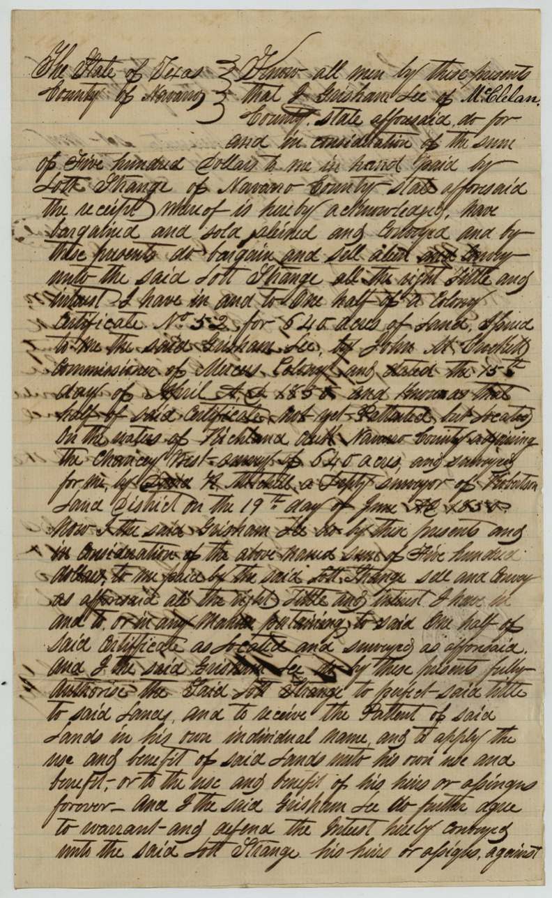
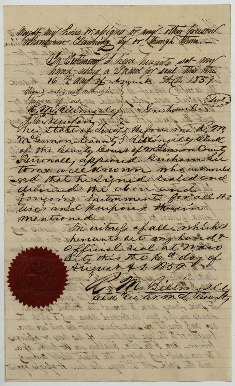
- 16 Aug 1859Grisham Lee, of McLennan County → Lott Strange, of Navarro County, $500, acknowledged at Waco, McLennan County. Sells all his right in one half of colony certificate No. 52, 'not yet patented, but located on the waters of Richland Creek, Navarro County, adjoining the Chancy West survey of 640 acres', surveyed by D. R. Mitchell 19 June 1850; authorises Strange to receive the patent in his own name, with warranty. Filed 23 Sept 1859.
The survey
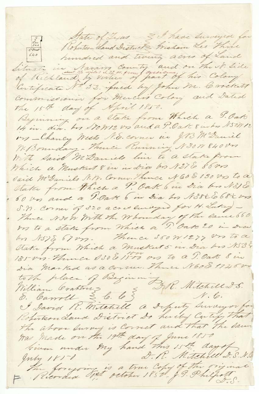
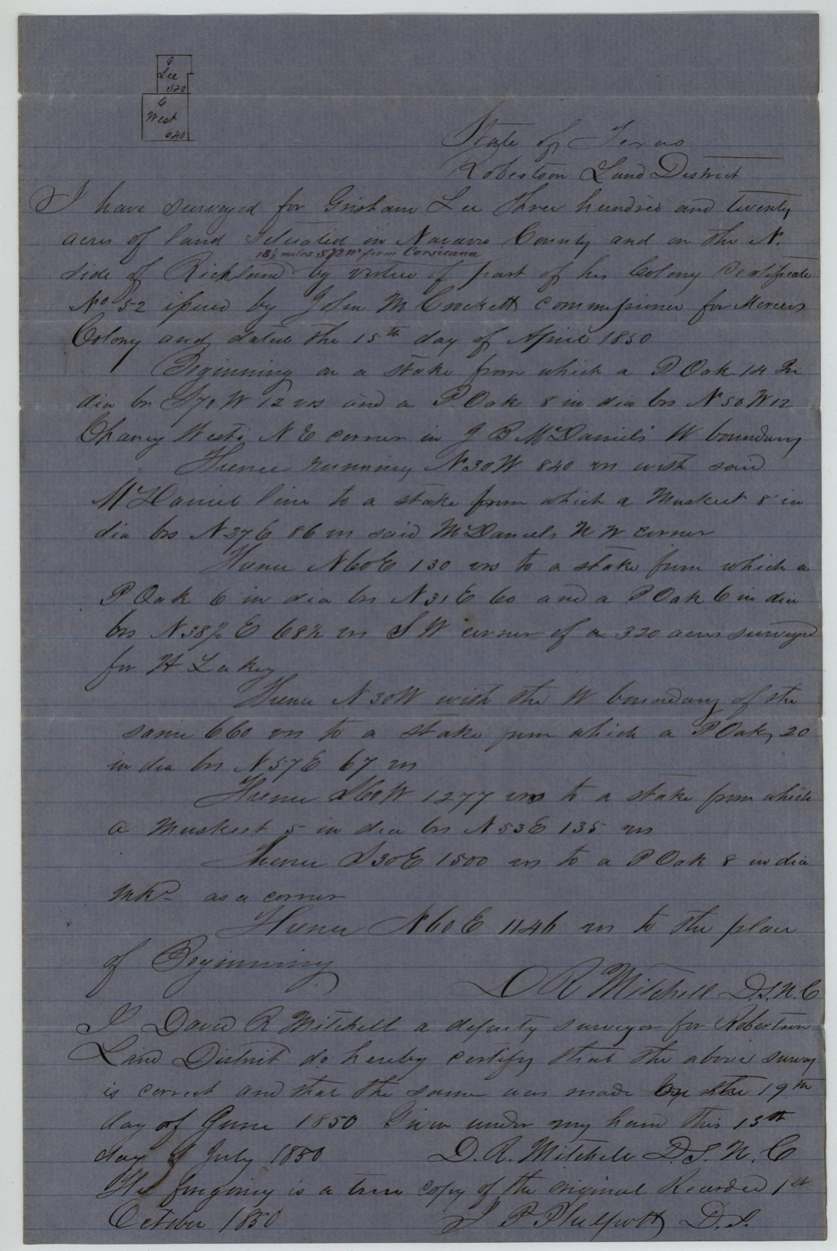
19 Jun 1850, David R. Mitchell, deputy surveyor, Robertson Land District (signs D.S.N.C.).
Navarro County on the north side of Richland [Creek], about 11 1/2(?) miles S 72 W from Corsicana (added in red)
Chain carriers: William Crabtree, E. Carroll.
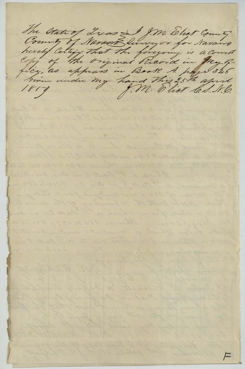
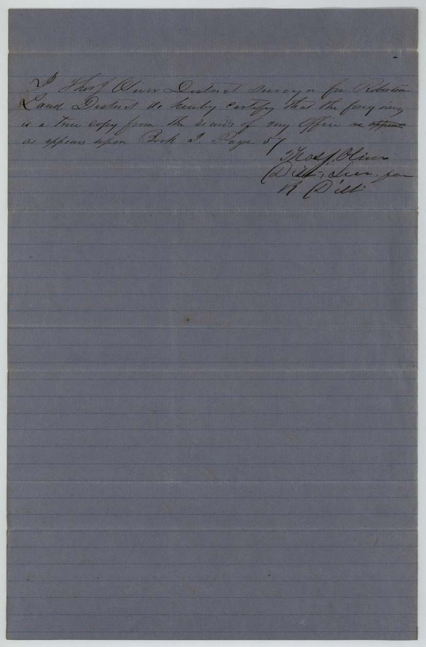
District record Book J, page 57 (certified copy by Thos. J. Oliver); Navarro County surveyor's record Book A, page 346 (certified copy by J. M. Eliot, 25 April 1859)
The patent
26 Oct 1859, No. 403, Vol. 27(?), to Lott Strange, assignee, delivered to B. F. Carroll(?) (faint); a later faint note 'A. Barry(?) 4 Ap 1878(?)'.
Also in the file
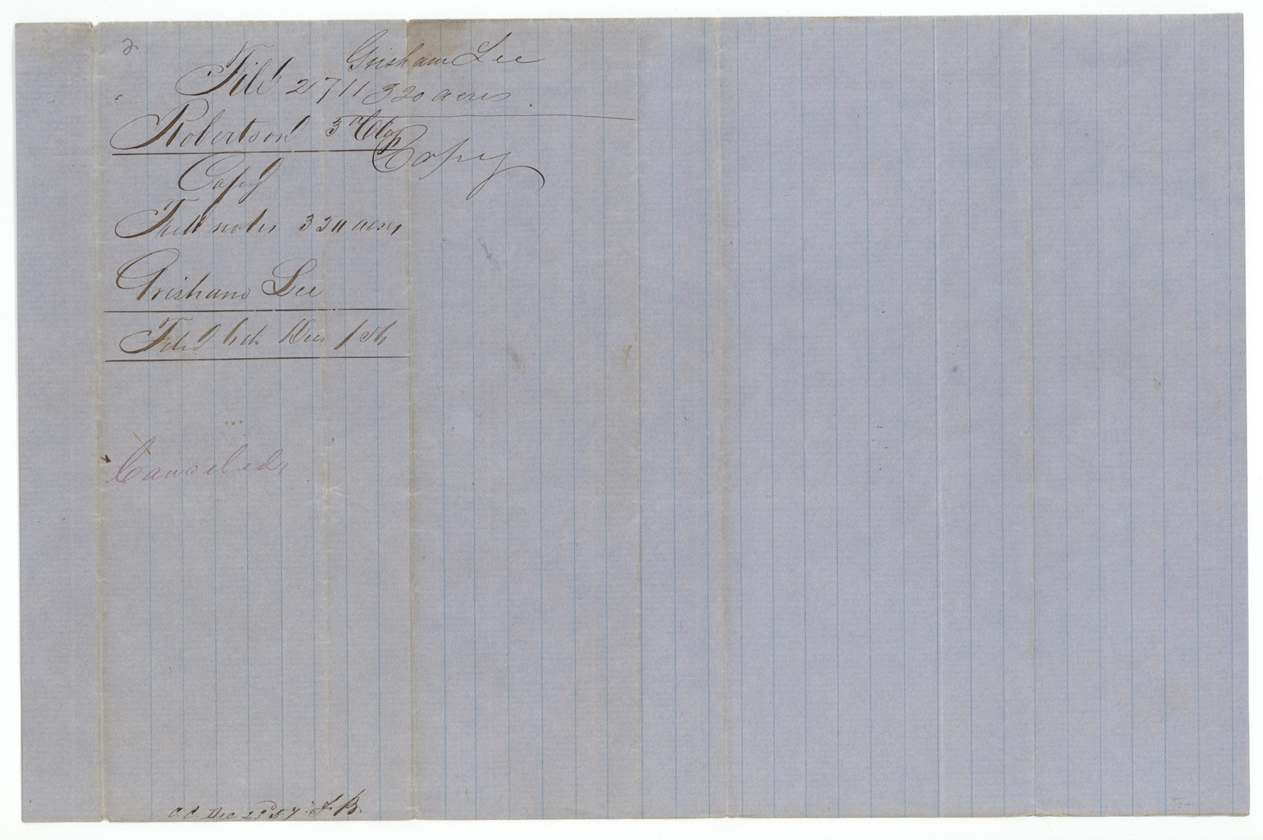
- No original field notes survive in the file - only two certified copies, the earlier one later stamped 'Cancelled' and replaced by a fresh county copy in 1859.
- Grisham Lee surveyed this land in 1850 but did not sell it until 1859, nine years later, by which time he lived in McLennan County.
- Only one half of the 640-acre certificate went into this tract; the certificate itself is kept in another file (845 Robertson 3rd).
- E. Carroll carried the chain in 1850, and a B. F. Carroll appears faintly on the jacket where the patent recipient is usually noted.
Timeline
- 15 Apr 1850Mercer's Colony certificate No. 52 for 640 acres issued to Grisham Lee by John M. Crockett
- 19 Jun 1850D. R. Mitchell surveys 320 acres on the north side of Richland Creek
- 1 Oct 1850Survey recorded by J. P. Philpott
- 23 Dec 1857First certified copy of field notes checked; later cancelled
- 4 Jan 1858Checked correct on GLO map
- 25 Apr 1859Navarro County Surveyor J. M. Eliot certifies a new copy from Book A p. 346
- 16 Aug 1859Lee sells the half-certificate and located land to Lott Strange for $500, acknowledged at Waco
- 23 Sep 1859Transfer and new copy of field notes filed
- 26 Oct 1859Patent No. 403 issued to Lott Strange
The papers in the file
Every page of the Land Office file, in the order the Land Office keeps them (10 pages). Tap a page to see it larger.
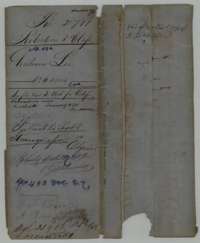 File jacketFile jacket for Grisham Lee's 320 acres on Richland Creek, a Mercer's Colony survey patented to the assignee Lott Strange in October 1859.General Land Office, file 2711, page 1 · in the scan
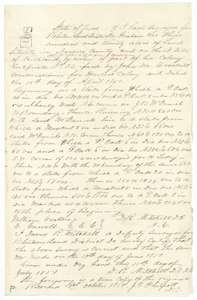 Field notesCertified copy of field notes for 320 acres on Richland Creek, surveyed 19 June 1850 by deputy surveyor David R. Mitchell for Grisham Lee.General Land Office, file 2711, page 2 · in the scan
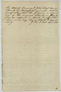 Surveyor's certificateNavarro County surveyor J. M. Eliot's certificate of 25 April 1859 that the Grisham Lee field notes are a true copy of the county record.General Land Office, file 2711, page 3 · in the scan
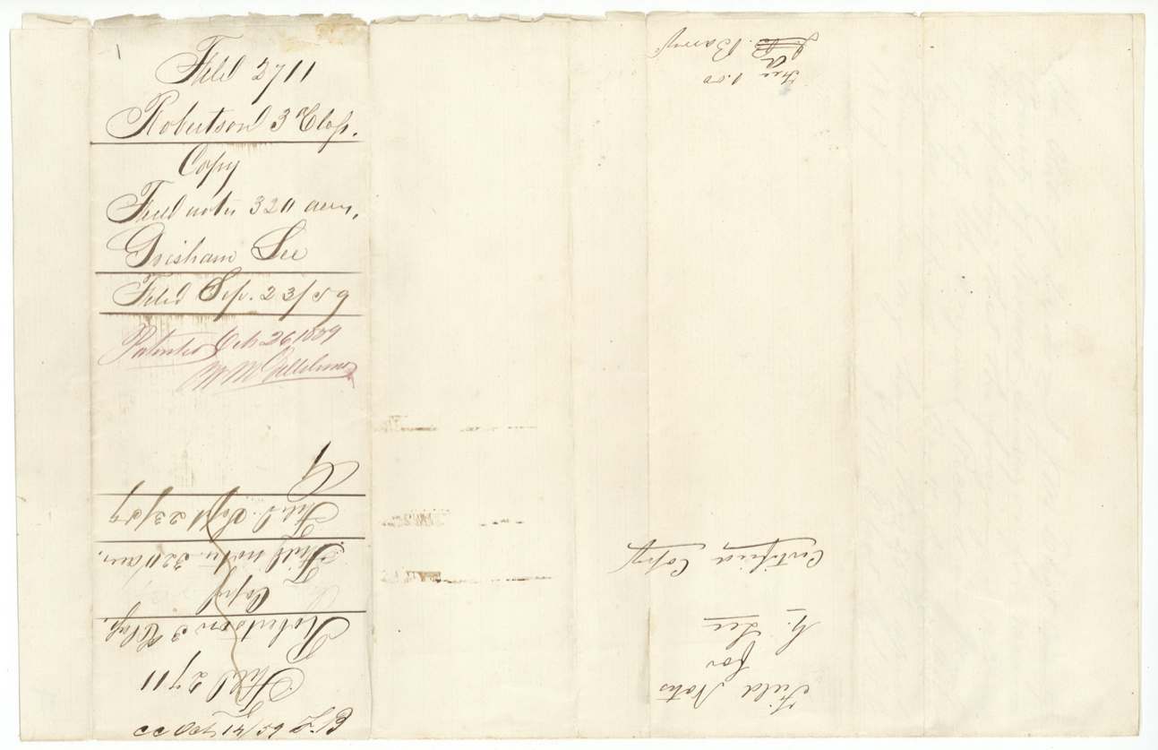
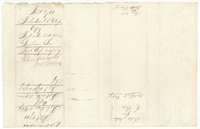 WrapperWrapper for the certified copy of the Grisham Lee field notes, 320 acres, filed 23 September 1859.General Land Office, file 2711, page 4 · in the scan
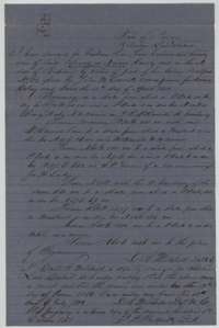 Field notesSecond certified copy of the field notes for Grisham Lee's 320 acres, surveyed 19 June 1850 and recorded in the district surveyor's book.General Land Office, file 2711, page 5 · in the scan
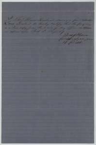 Surveyor's certificateDistrict surveyor Thomas J. Oliver's certificate that the foregoing is a true copy from the district land records.General Land Office, file 2711, page 6 · in the scan
 WrapperWrapper for the field notes of 320 acres for Grisham Lee, with the filing note.General Land Office, file 2711, page 7 · in the scan
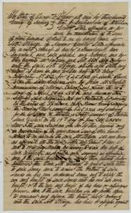 TransferTransfer from Grisham Lee of McLennan County to Lott Strange of one half of colony certificate No. 52 for $500, dated 16 August 1859.General Land Office, file 2711, page 8 · in the scan
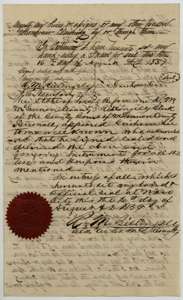 TransferClosing page of Grisham Lee's transfer to Lott Strange, with the McLennan County clerk's acknowledgment at Waco and red seal, 16 August 1859.General Land Office, file 2711, page 9 · in the scan
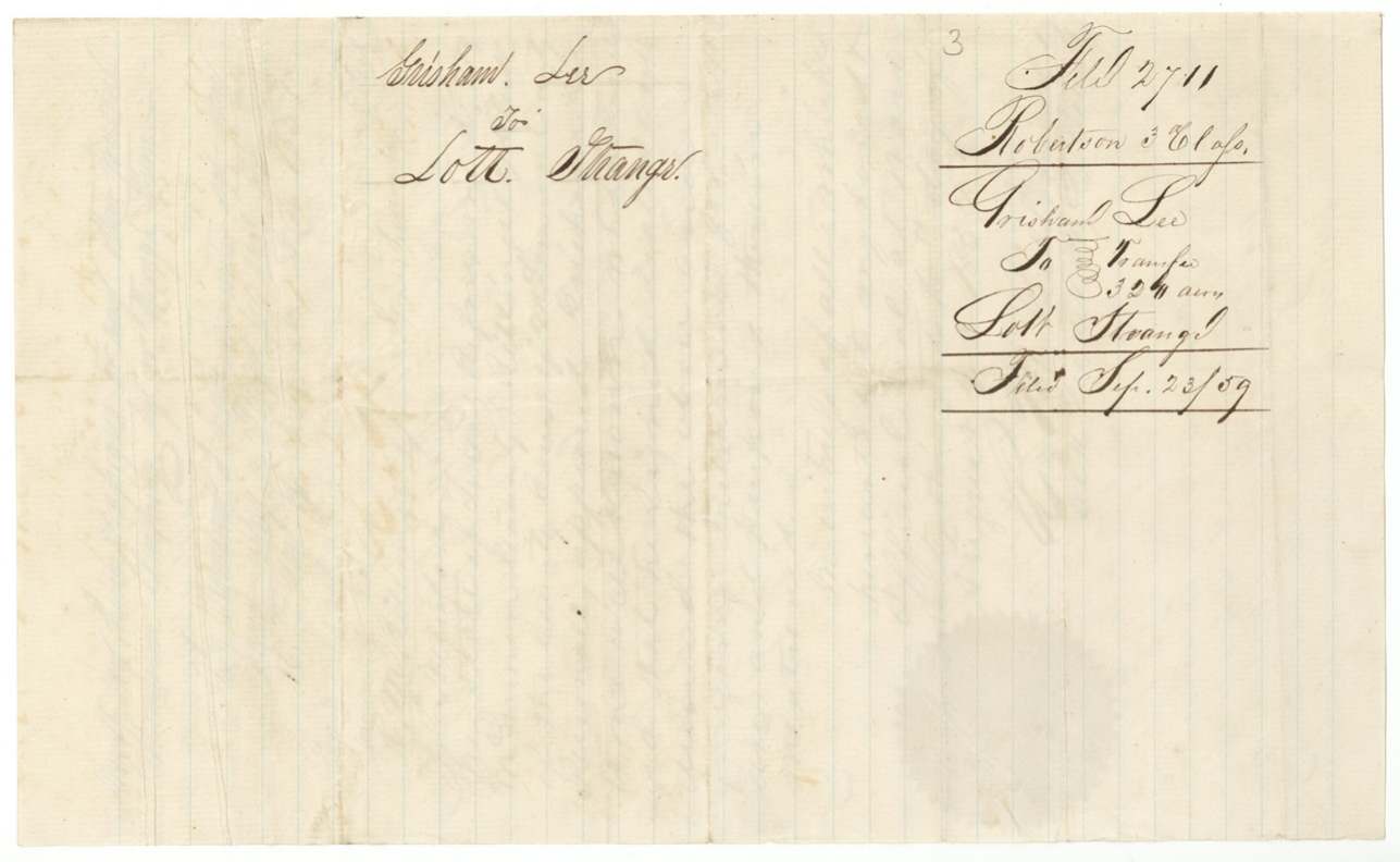
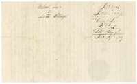 WrapperWrapper for Grisham Lee's transfer of 320 acres to Lott Strange, filed 23 September 1859.General Land Office, file 2711, page 10 · in the scan
Scans courtesy of the Texas General Land Office, Austin, from its Land Grant Database.
Neighbouring surveys
Sources
- Texas General Land Office, Land Grant Database: Navarro County, Abstract 496
- The Land Office file, scanned (PDF, at the General Land Office)
- 1924 map: courtesy of the Texas General Land Office, Austin, Map 73249, used under licence. Topo: U.S. Geological Survey, The National Map. Aerial photographs: U.S. Department of Agriculture, National Agriculture Imagery Program, 2012, 2018 and 2022. Survey outlines: Railroad Commission of Texas, Original Texas Land Survey. Grant records and files: Texas General Land Office.