Blackland TX · ← All the original surveys
Henry Lakey Survey, Abstract 488
- Granted to
- Henry Lakey
- Kind of grant
- Headright, third classLand for later settlers, including the colonists of Mercer’s Colony.
- Land Office file
- Robertson 3rd class, file 104
- Certificate
- No. 30
- Acres
- 320
- Patented to
- Henry Lakey
- Patent
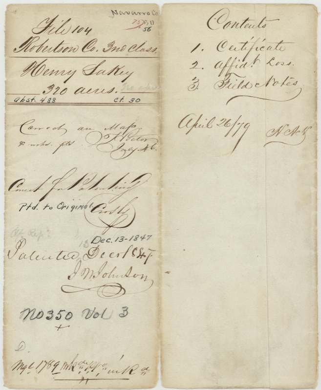
- 13 Dec 1847 · No. 350, Vol. 3
Tap a survey to open its page.
What the file shows
Henry Lakey received a conditional 320-acre third-class headright from the Milam County land board in May 1839, and after proving three years' residence he got unconditional certificate No. 30 at Caldwell on October 2, 1843. A month later he assigned it, by his mark, to a man named Cook. C. C. Taylor, Robertson County surveyor, laid it out in May 1844 north of Richland Creek, joining the Henry B. Prewett and J. B. McDaniel surveys. Because the original conditional certificate had been lost, Lakey swore an affidavit of loss in 1847, and the patent issued in his own name on December 13, 1847 (No. 350, Vol. 3).
The certificate
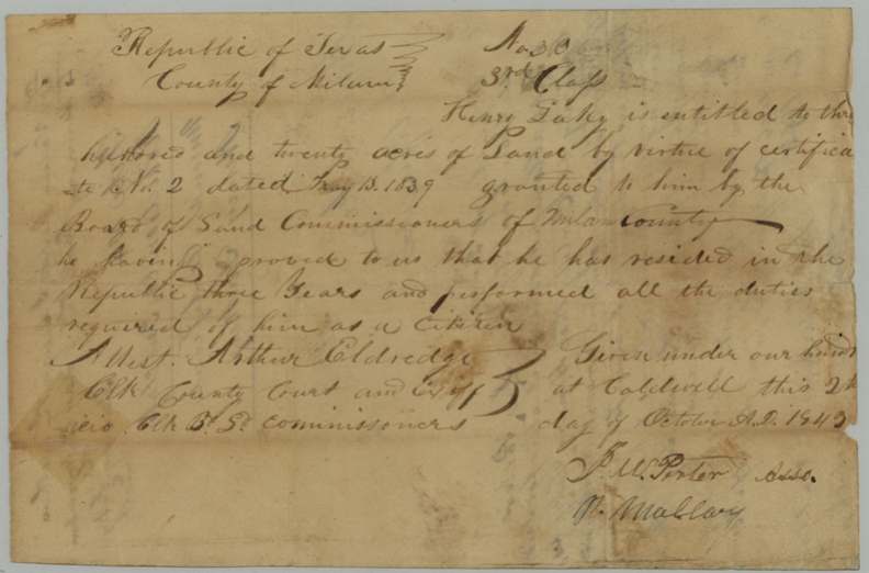
headright 3rd class (unconditional, issued in place of conditional certificate No. 2), No. 30 (3rd class); based on conditional certificate No. 2, 320 acres, Board of Land Commissioners of Milam County (signed J. W. Porter, Assoc., and P. Mallory(?); attest Arthur Eldredge, Clerk County Court and ex officio Clerk Board of Land Commissioners), Caldwell (Milam County), 2 Oct 1843.
Conditional certificate No. 2 dated May 13, 1839 from the Milam board; he 'proved to us that he has resided in the Republic three years and performed all the duties required of him as a citizen'
Changes of hand
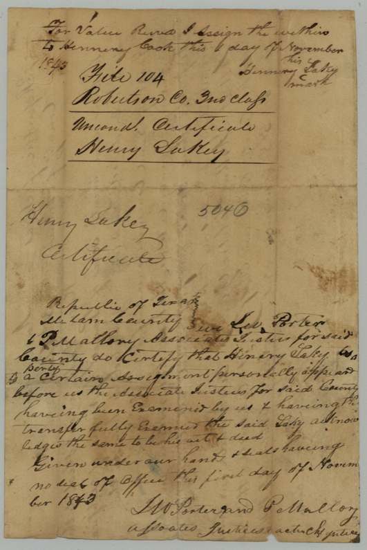
- 1843-11 ('this __ day of November 1843'; acknowledgment dated 1843-11-01)Henry Lakey (his mark; written 'Hennery Lakey') → Hennery(?) Cook, 'for value received', Milam County. Assignment written on the back of the unconditional certificate; justices certify Lakey acknowledged it as his act and deed after examination.
The survey
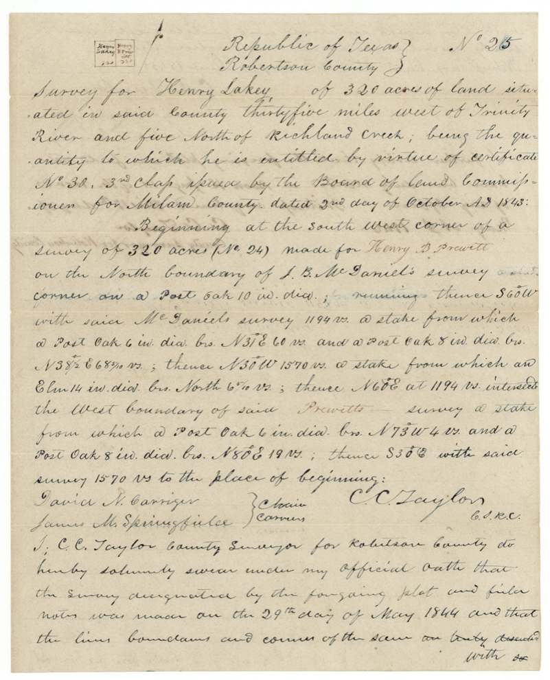
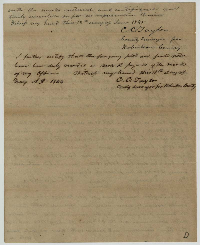
1844-05-29 (sworn 1845-06-13; recorded 1846-05-17), C. C. Taylor, County Surveyor, Robertson County.
Robertson County (now Navarro), 35 miles west of the Trinity River and 5 miles north of Richland Creek
Chain carriers: David N. Carriger, James M. Springfield(?).
Book K, page 111, Robertson County surveyor's records
The patent
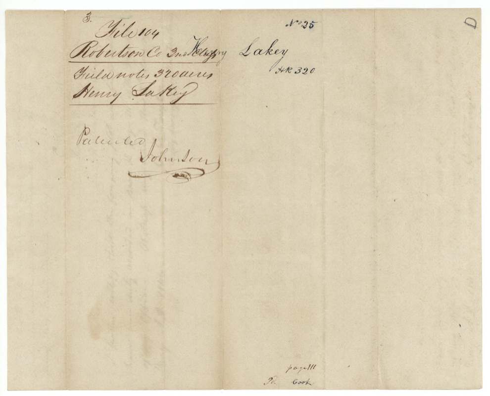
13 Dec 1847, No. 350, Vol. 3, to Henry Lakey, delivered to not stated; field-note jacket foot reads 'page 111 / To Cook' (possibly delivered to Cook) (?).
Also in the file
- Lakey signed over the unconditional certificate to a man named Cook in November 1843, yet the patent issued in 1847 in Lakey's own name — the paper trail suggests Cook was the real buyer, since the field-note jacket notes 'To Cook'.
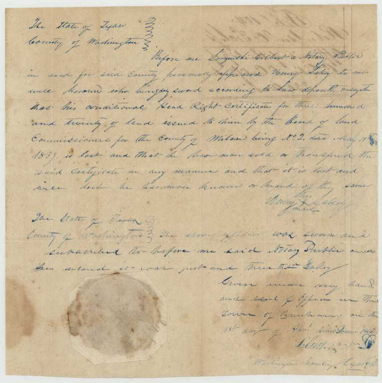
- His affidavit swears he never sold or transferred the CONDITIONAL certificate (No. 2) — consistent with the sale being of the later unconditional one, but the wording invites a second look.
- Lakey signed every document with his mark, so he could not write his name; clerks spelled him both 'Lakey' and 'Hennery'.
- The survey was run in Robertson County, 35 miles west of the Trinity — land that later fell in Navarro County.
Timeline
- 13 May 1839Conditional headright certificate No. 2 issued by Milam County board (per later documents)
- 2 Oct 1843Unconditional certificate No. 30, 3rd class, issued at Caldwell after proof of three years' residence
- 1 Nov 1843Lakey assigns certificate to Cook; acknowledged before Milam associate justices
- 29 May 1844C. C. Taylor surveys 320 acres north of Richland Creek
- 13 Jun 1845Surveyor swears to field notes
- 17 May 1846Field notes recorded, Book K p. 111
- 1 Apr 1847Affidavit of loss of conditional certificate sworn at Brenham (year read 1847?)
- 13 Dec 1847Patent No. 350, Vol. 3 issued to Henry Lakey
The papers in the file
Every page of the Land Office file, in the order the Land Office keeps them (8 pages). Tap a page to see it larger.
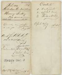 File jacketFile jacket for Henry Lakey's 320-acre headright, listing the certificate, affidavit and field notes, with the patent note of 13 December 1847.General Land Office, file 104, page 1 · in the scan
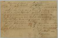 CertificateMilam County unconditional headright certificate No. 30 of 2 October 1843 entitling Henry Lakey to 320 acres.General Land Office, file 104, page 2 · in the scan
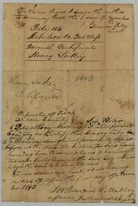 Back of the certificateBack of the certificate, with Henry Lakey's assignment to Cook in November 1843 and the Milam County justices' acknowledgment.General Land Office, file 104, page 3 · in the scan
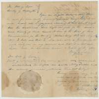 AffidavitAffidavit before a Washington County notary in which Henry Lakey swears his earlier conditional certificate No. 2 was lost.General Land Office, file 104, page 4 · in the scan
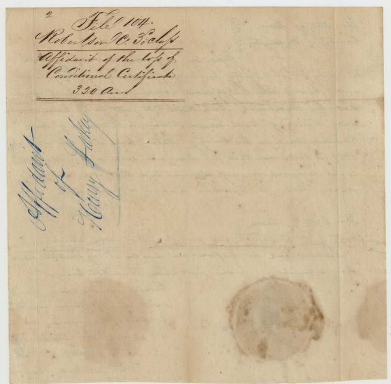
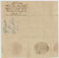 WrapperFiling wrapper for Henry Lakey's affidavit of the loss of his conditional certificate.General Land Office, file 104, page 5 · in the scan
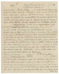 Field notesField notes of 320 acres surveyed for Henry Lakey by Robertson County surveyor C. C. Taylor, 29 May 1844.General Land Office, file 104, page 6 · in the scan
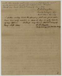 Surveyor's certificateEnd of the Lakey field notes, with C. C. Taylor's sworn certificate of 13 June 1845 and his recording note of 17 May 1846.General Land Office, file 104, page 7 · in the scan
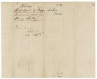 WrapperFiling wrapper for the Lakey field notes, with the patent note.General Land Office, file 104, page 8 · in the scan
Scans courtesy of the Texas General Land Office, Austin, from its Land Grant Database.
On this ground today
- CemeteryMcCord Cemetery
Places that stand inside this survey’s lines as the state’s survey map draws them.
Neighbouring surveys
Sources
- Texas General Land Office, Land Grant Database: Navarro County, Abstract 488
- The Land Office file, scanned (PDF, at the General Land Office)
- 1924 map: courtesy of the Texas General Land Office, Austin, Map 73249, used under licence. Topo: U.S. Geological Survey, The National Map. Aerial photographs: U.S. Department of Agriculture, National Agriculture Imagery Program, 2012, 2018 and 2022. Survey outlines: Railroad Commission of Texas, Original Texas Land Survey. Grant records and files: Texas General Land Office.