Blackland TX · ← All the original surveys
Henry B. Prewitt Survey, Abstract 656
- Granted to
- Henry B. Prewitt
- Kind of grant
- Headright, third classLand for later settlers, including the colonists of Mercer’s Colony.
- Land Office file
- Robertson 3rd class, file 505
- Certificate
- No. 16
- Acres
- 320
- Patented to
- Henry B. Prewitt
- Patent
- 29 Apr 1859 · No. 597, Vol. 19
Tap a survey to open its page.
What the file shows
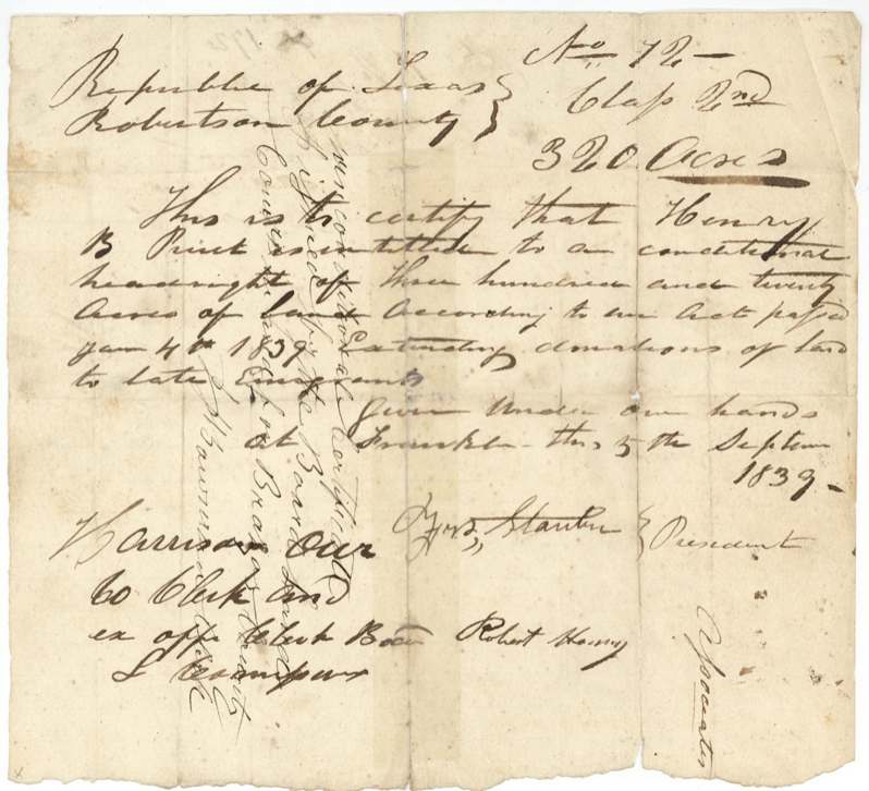
Henry B. Prewitt received conditional headright No. 72 for 320 acres from the Robertson County land board at Franklin on 5 September 1839, as a late emigrant. C. C. Taylor surveyed it on 27 May 1844 about five miles north of Richland Creek, and on 1 July 1844 the Brazos County board made it unconditional (No. 16) after Prewitt proved three years' residence. A duplicate unconditional certificate obtained in Milam County in 1849 was ruled invalid by the Land Office. Although David Seley took the certificate in 1845 and Sarah L. Seely later held Prewitt's power of attorney, Patent No. 597, Vol. 19 issued to Prewitt as original grantee in April 1859.
The certificate
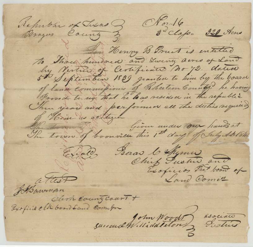
headright 3rd class (conditional, then unconditional), No. Conditional No. 72 (Robertson County); unconditional No. 16 (Brazos County); a second unconditional No. 22 (Milam County) was declared invalid, 320 acres, Conditional: Board of Land Commissioners of Robertson County — Geo. Stanton(?), President, Robert Henry, Associate; Harrison Owen, County Clerk and ex officio clerk of the Board. Unconditional: Brazos County Board — Isaac C. Hymer(?), Chief Justice and ex officio President; John Wood(?) and Samuel W. Middleton, Associate Justices; J. H. Bowman, clerk, Conditional at Franklin, Robertson County; unconditional at the town of Boonville, Brazos County, Conditional 1839-09-05; unconditional 1844-07-01.
Conditional headright of 320 acres under the Act of 4 January 1839 extending donations of land to late emigrants; unconditional issued because he proved he had resided in the Republic three years and performed all the duties of a citizen
Changes of hand
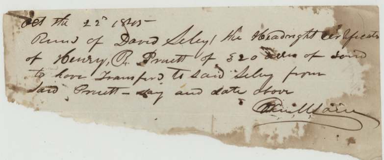
- 1845-10-22(?)Henry B. Pruett (Prewitt) → David Seley (Seely), not stated, not stated. Torn receipt: '[Received] of David Seley the headright certificate of Henry B. Pruett of 320 acres of land to have transferred to said Seley from said Pruett'; signature largely illegible. Not a deed — the patent nevertheless went to Prewitt as original grantee.
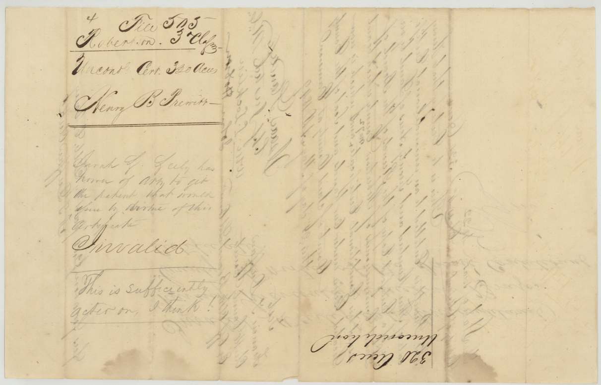
- not stated in file (jacket notes a date '15th Dec' and '23rd')Henry B. Prewitt → S. L. (Sarah L.) Seely. Power of attorney noted on jacket and wrappers ('Power of atty from Henry B. Prewitt to S. L. Seely ... recorded(?) ... Barziza(?)'); the document itself is not in the file. Wrapper on the invalid Milam certificate: 'Sarah L. Seely has power of atty to get the patent that would issue by virtue of this certificate — Invalid — This is sufficiently acted on, I think!'
The survey
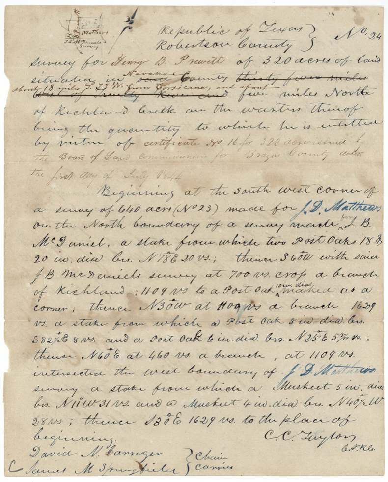
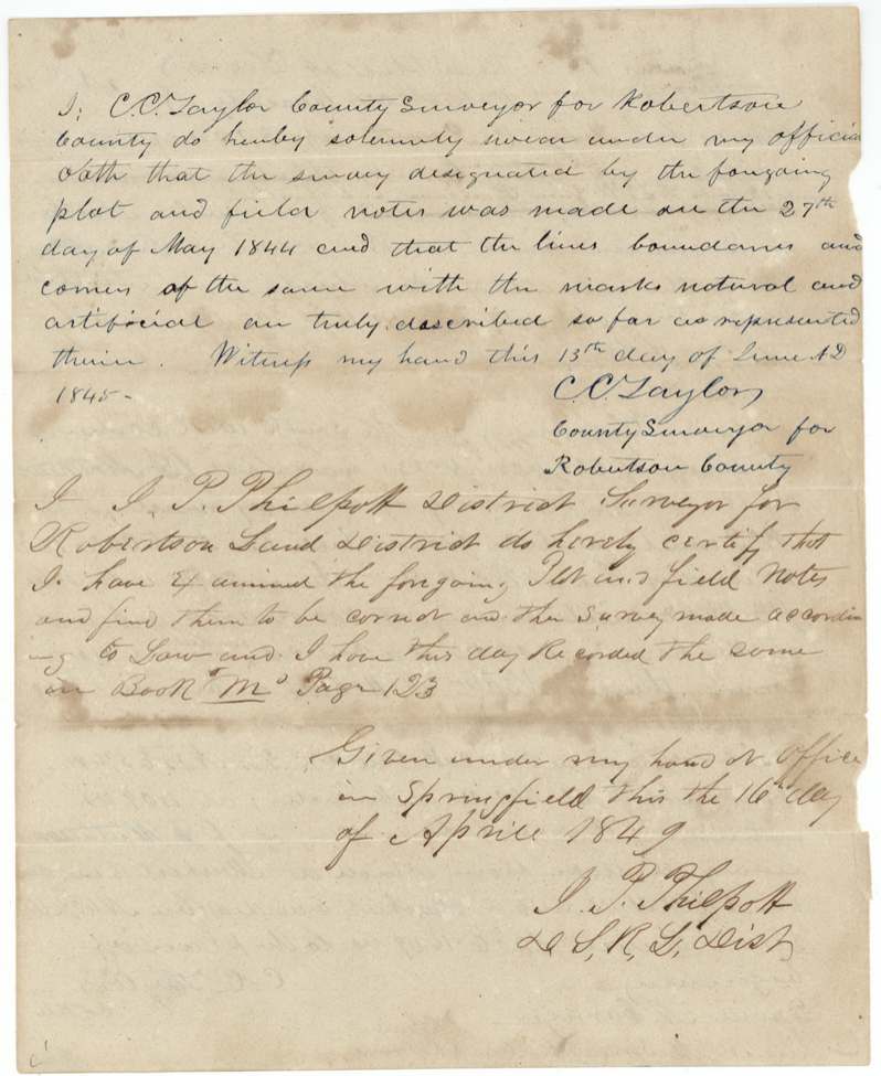
1844-05-27 (sworn 13 June 1845), C. C. Taylor, County Surveyor for Robertson County.
Originally 'said [Robertson] County, thirty five miles west of Trinity River and five miles north of Richland Creek on the waters thereof'; corrected to 'Navarro County, about 18 miles S 73 W from Corsicana, and about five miles north of Richland Creek'
Chain carriers: David N. Carriger, Samuel M. Springfield(?).
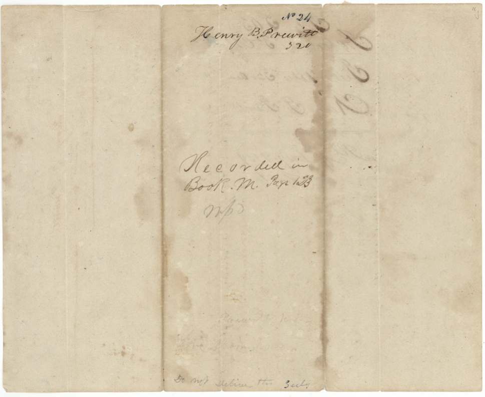
Book M, page 123
The patent
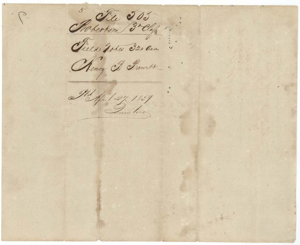
1859-04-29 (field-note wrapper reads 'April 27, 1859'), No. 597, Vol. 19, to Henry B. Prewitt, original grantee, delivered to pencil on jacket: 'Pat. del. to S. L. Barziza(?) on the 27th July 1859(?)'.
Also in the file
- Prewitt's one conditional headright produced two 'unconditional' certificates — one from Brazos County in 1844 and another from Milam County in 1849; the Land Office threw out the Milam one as a duplicate.
- The survey is dated 27 May 1844, about a month before the Brazos certificate it was made under was issued (1 July 1844).
- The surveyor first described the land as 35 miles west of the Trinity River in Robertson County; it was later relabelled as Navarro County, about 18 miles southwest of Corsicana.
- Someone named David Seley took the certificate in 1845 'to have it transferred', and Sarah L. Seely later held Prewitt's power of attorney — yet the patent issued in Prewitt's own name, fifteen years after the survey.
- A clerk's frank note on the invalid certificate: 'This is sufficiently acted on, I think!'
Timeline
- 4 Jan 1839Act extending land donations to late emigrants (cited)
- 5 Sep 1839Robertson County board at Franklin issues conditional headright No. 72, 320 acres
- 27 May 1844C. C. Taylor surveys 320 acres north of Richland Creek
- 1 Jul 1844Brazos County board at Boonville issues unconditional certificate No. 16
- 13 Jun 1845Taylor swears to the survey
- 22 Oct 1845David Seley receives the certificate to have it transferred (date uncertain)
- 16 Apr 1849District Surveyor Philpott records survey, Book M p. 123, at Springfield
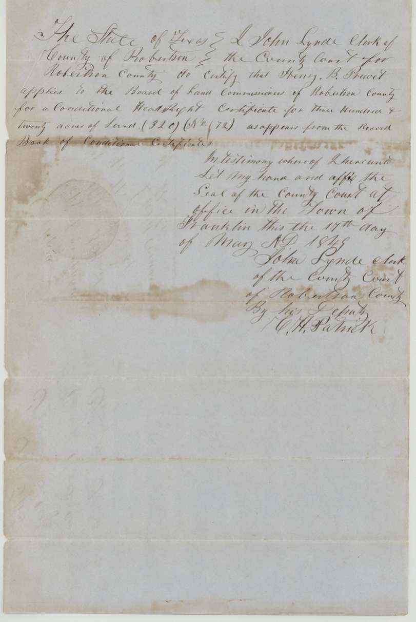
- 17 May 1849Robertson County clerk certifies the conditional record
- 24 May 1849Milam County court at Cameron issues duplicate unconditional No. 22 (later ruled invalid)
- 10 Jan 1852Found correct on map (Kreuzbauer)
- 29 Apr 1859Patent No. 597 Vol. 19 to Henry B. Prewitt
The papers in the file
Every page of the Land Office file, in the order the Land Office keeps them (17 pages). Tap a page to see it larger.
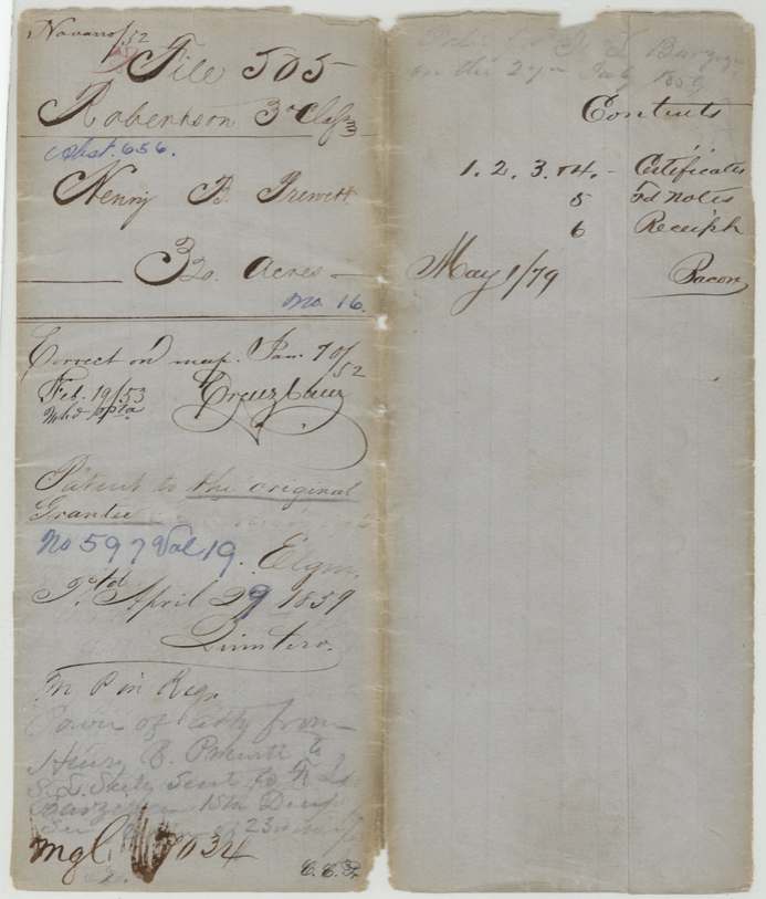
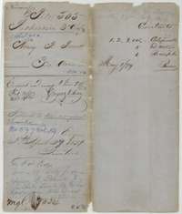 File jacketFile jacket for the Robertson Third Class headright of Henry B. Prewitt, 320 acres, with the patent noted as issued to the original grantee in April 1859.General Land Office, file 505, page 1 · in the scan
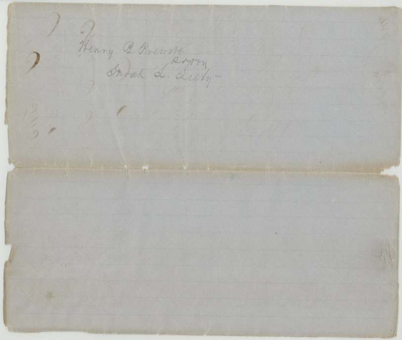
 WrapperFolded wrapper naming Henry B. Prewitt and Sarah L. Seely, who held a power of attorney to obtain his patent.General Land Office, file 505, page 2 · in the scan
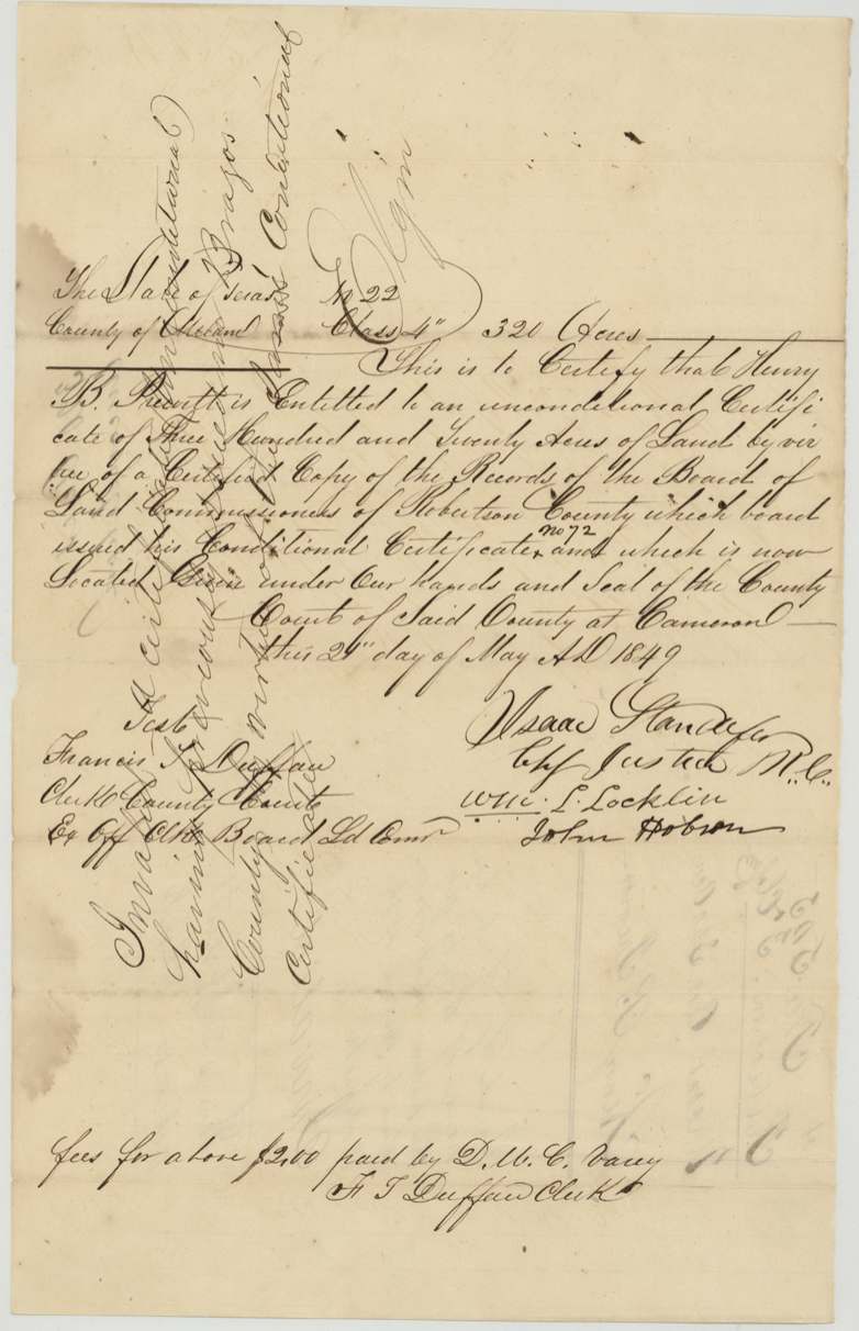
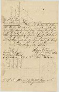 CertificateMilam County certificate of 24 May 1849 that Henry B. Prewitt was entitled to 320 acres, issued on a copy of the Robertson County records.General Land Office, file 505, page 3 · in the scan
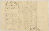 Back of the certificateBack of the Milam County certificate, marked invalid because a certificate had already been issued by the Brazos County board on the same claim.General Land Office, file 505, page 4 · in the scan
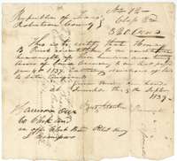 CertificateConditional headright certificate No. 72 for 320 acres granted to Henry B. Prewitt by the Robertson County land board at Franklin, 5 September 1839.General Land Office, file 505, page 5 · in the scan
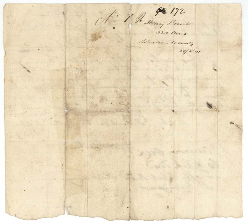
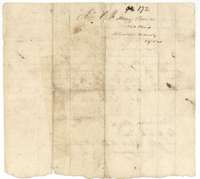 Back of the certificateBack of the conditional headright certificate, endorsed with the number and name of Henry B. Prewitt and 320 acres.General Land Office, file 505, page 6 · in the scan
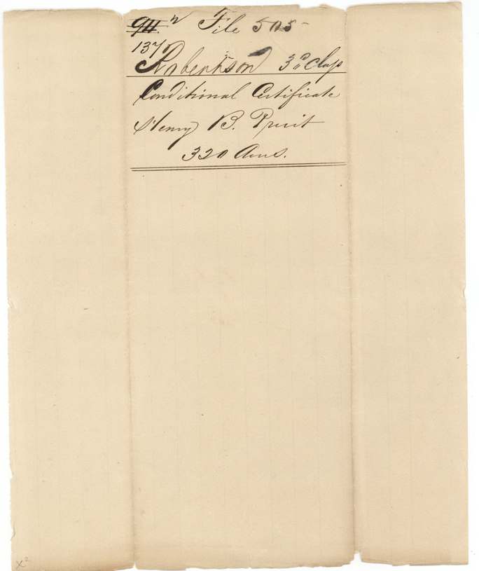
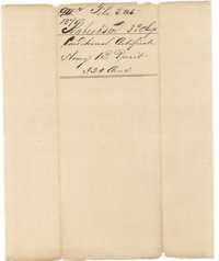 WrapperFiling wrapper for the conditional certificate of Henry B. Prewitt, 320 acres, Robertson Third Class.General Land Office, file 505, page 7 · in the scan
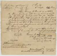 CertificateUnconditional headright certificate No. 16 for 320 acres issued to Henry B. Prewitt by the Brazos County land board at Boonville, 1 July 1844.General Land Office, file 505, page 8 · in the scan
 Back of the certificateBack of the Brazos County certificate, with the file number and the name of Henry B. Prewitt.General Land Office, file 505, page 9 · in the scan
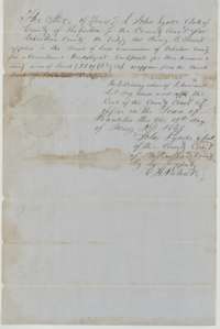 Other papersRobertson County clerk's certificate, given at Franklin on 17 May 1845, that Henry B. Prewitt applied for a conditional headright certificate for 320 acres.General Land Office, file 505, page 10 · in the scan
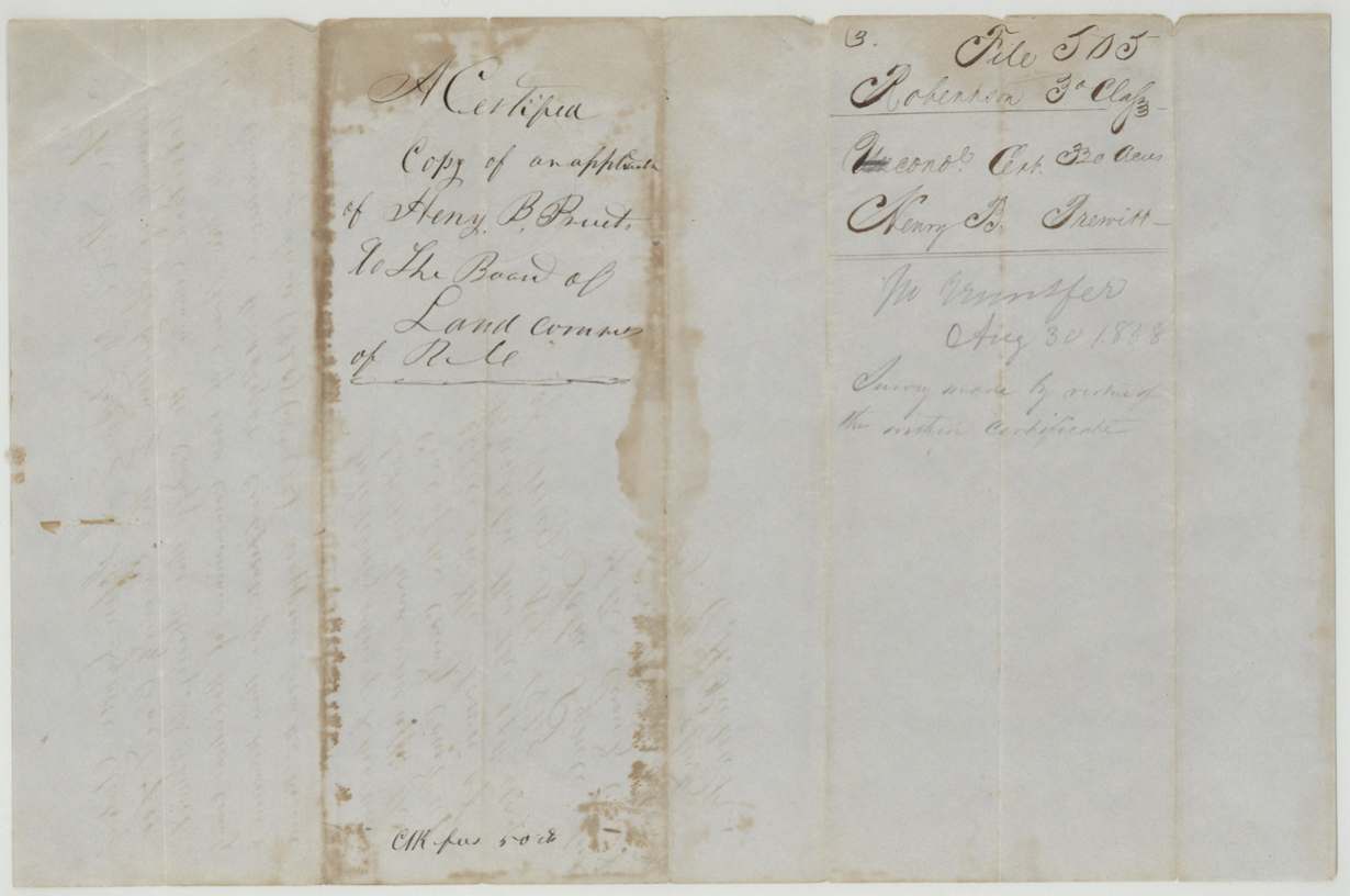
 WrapperWrapper for a certified copy of Henry B. Prewitt's application to the Board of Land Commissioners of Robertson County.General Land Office, file 505, page 11 · in the scan
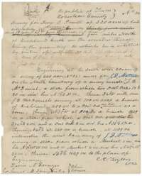 Field notesField notes of Survey No. 24, 320 acres for Henry B. Prewitt near Richland Creek, surveyed 27 May 1844 by county surveyor C. C. Taylor.General Land Office, file 505, page 12 · in the scan
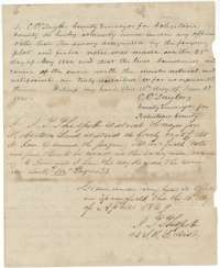 Surveyor's certificateSurveyor C. C. Taylor's oath on the Prewitt survey and district surveyor J. T. Philpott's certificate of examination at Springfield, 16 April 1849.General Land Office, file 505, page 13 · in the scan
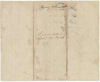 WrapperBack of the field notes, marked as recorded in Book M, page 123, for Henry B. Prewitt's 320 acres.General Land Office, file 505, page 14 · in the scan
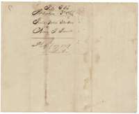 WrapperField-notes wrapper for Henry B. Prewitt, 320 acres, filed in the Land Office in April 1859.General Land Office, file 505, page 15 · in the scan
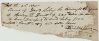 ReceiptReceipt of 22 October 1845 from David Seley for the headright certificate of Henry B. Prewitt for 320 acres, to be transferred to Seley.General Land Office, file 505, page 16 · in the scan
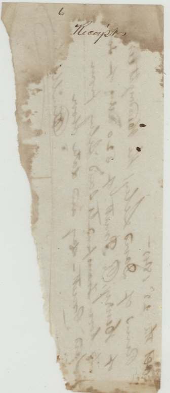
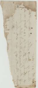 Other papersTorn fragment of paper with faint handwriting, kept in the file.General Land Office, file 505, page 17 · in the scan
Scans courtesy of the Texas General Land Office, Austin, from its Land Grant Database.
Neighbouring surveys
Sources
- Texas General Land Office, Land Grant Database: Navarro County, Abstract 656
- The Land Office file, scanned (PDF, at the General Land Office)
- 1924 map: courtesy of the Texas General Land Office, Austin, Map 73249, used under licence. Topo: U.S. Geological Survey, The National Map. Aerial photographs: U.S. Department of Agriculture, National Agriculture Imagery Program, 2012, 2018 and 2022. Survey outlines: Railroad Commission of Texas, Original Texas Land Survey. Grant records and files: Texas General Land Office.