Blackland TX · ← All the original surveys
James D. Matthews Survey, Abstract 535
- Granted to
- James D. Matthews
- Kind of grant
- Headright, second classLand for settlers who came between independence and 1 October 1837.
- Land Office file
- Robertson 2nd class, file 222
- Certificate
- No. 116
- Acres
- 640
- Patented to
- Heirs of James D. Matthews
- Patent
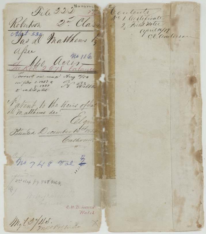
- 16 Dec 1854 · No. 748, Vol. 4
Tap a survey to open its page.
What the file shows
James D. Matthews came to Texas with his family before October 1837 and died before 1844; that year George W. Adams, administrator of his estate, proved the claim and the Robertson County board at Franklin issued certificate No. 116 for 1,280 acres to his heirs. On 30 May 1844 County Surveyor C. C. Taylor laid off 640 acres five miles north of Richland Creek, beside the N. T. Byars, J. B. McDaniel and J. A. Ramsey surveys — later placed in Navarro County about 16 miles southwest of Corsicana. The rest of the certificate went on a balance certificate, and this 640 acres was patented to the heirs of James D. Matthews on 16 December 1854.
The certificate
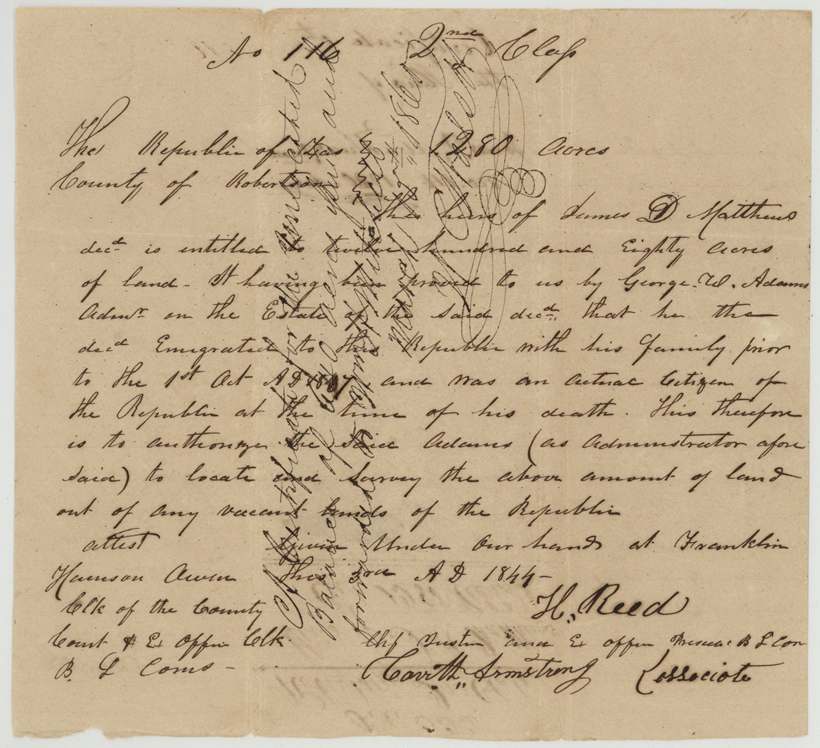
headright 2nd class, No. 116, 1,280 (640 used in this survey), Board of Land Commissioners, Robertson County — H. Reed, Chief Justice and ex officio President B.L.Com.; Carr H. Armstrong, Associate; attest Harrison Owen, Clerk of the County Court and ex officio Clerk B.L.Comrs., Franklin, Robertson County, 1844 (day and month written 'this 2d(?) ...' — unclear).
Issued to the heirs of James D. Matthews, deceased, on proof by George W. Adams, administrator of his estate, that Matthews emigrated to the Republic with his family before 1 October 1837 and was an actual citizen at the time of his death. Authorises Adams as administrator to locate and survey the land.
The survey
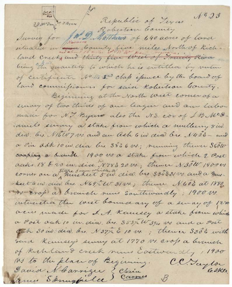
1844-05-30 (oath 1845-06-12), C. C. Taylor.
Originally written 'in said [Robertson] County five miles north of Richland Creek and thirty-five [miles] west of Trinity River'; corrected in red to Navarro County, 'about 16 miles S 73° W from Corsicana'. 640 acres, 'a part' of the certificate quantity. Survey No. 23.
Chain carriers: David N. Carriger, James Springfield.
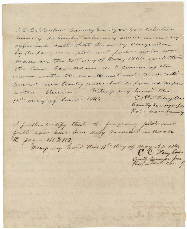
Book K, pages 111 and 112, 1846-05-11
The patent
16 Dec 1854, No. 748, Vol. 4 (or 6, overwritten); '2nd class pg 548 Vol 4', to the heirs of Jas. D. Matthews, deceased, delivered to not stated.
Also in the file
- The certificate was issued to the heirs of a dead man — Matthews came to Texas with his family before October 1837 and died before 1844; the administrator, George W. Adams, proved the claim.
- The survey was first described as lying in Robertson County; a later hand corrected it to Navarro County, which did not exist when the survey was made in May 1844.
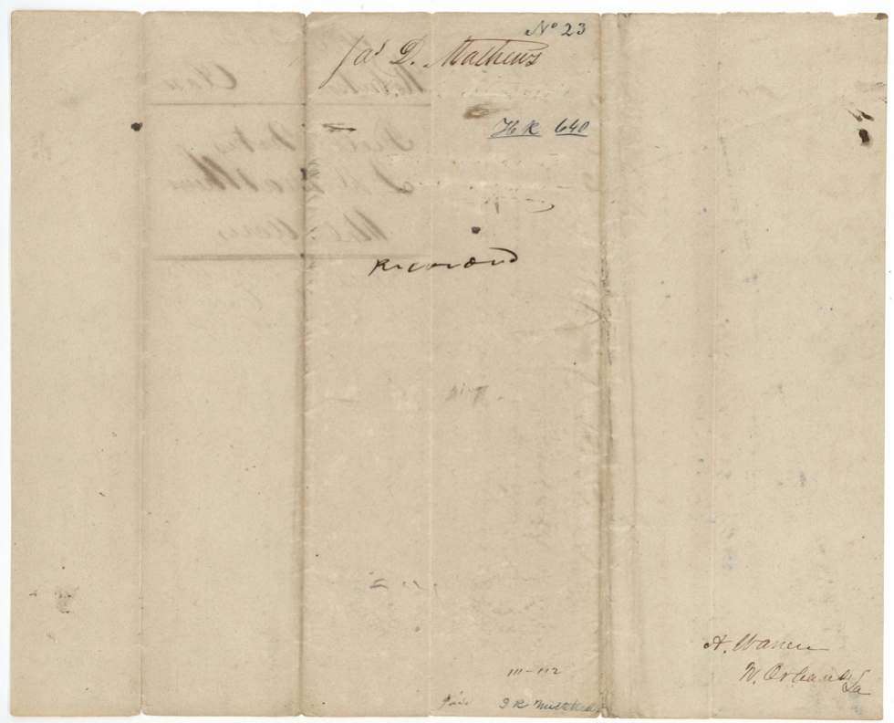
- The note 'A. Warren, N. Orleans, La.' on the back of the field notes suggests someone in New Orleans had an interest in or was handling the claim; no transfer is in the file.
- Only 640 of the 1,280 acres were used here; the rest went on a balance certificate (Robertson 2nd 678).
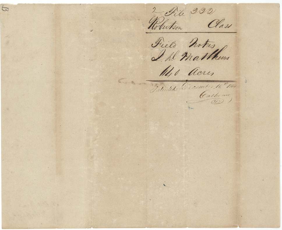
- The wrapper calls the claim 'by asse(?)' (by assignee?) but the patent went to the heirs.
- Same surveyor (C. C. Taylor) and same survey date (30 May 1844) as the Elias P. Cook survey, A-163.
Timeline
- before 1837-10-01James D. Matthews emigrates to Texas with his family
- 1844Robertson County board at Franklin issues certificate No. 116 for 1,280 acres to his heirs, on proof by administrator George W. Adams
- 30 May 1844C. C. Taylor surveys 640 acres north of Richland Creek, beside N. T. Byars, J. B. McDaniel and J. A. Ramsey
- 12 Jun 1845Taylor swears to the survey
- 11 May 1846Field notes recorded, Robertson County Book K pp. 111-112
- 11 Aug 1854Checked correct on the GLO map
- 16 Dec 1854Patented to the heirs of James D. Matthews, deceased (No. 748)
The papers in the file
Every page of the Land Office file, in the order the Land Office keeps them (7 pages). Tap a page to see it larger.
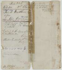 File jacketFile jacket for the heirs of James D. Matthews, Robertson Second Class headright, 640 acres in Navarro County, patented in December 1854.General Land Office, file 222, page 1 · in the scan
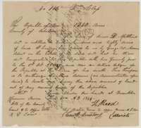 CertificateHeadright certificate No. 116 for 1,280 acres issued at Franklin to the heirs of James D. Matthews, on proof by his administrator George W. Adams.General Land Office, file 222, page 2 · in the scan
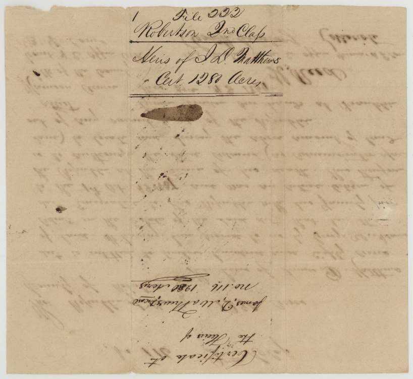
 Back of the certificateBack of the certificate, endorsed for the heirs of J. D. Matthews and 1,280 acres.General Land Office, file 222, page 3 · in the scan
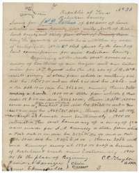 Field notesField notes and plat of Survey No. 23, 640 acres for James D. Matthews, surveyed 30 May 1844 by county surveyor C. C. Taylor.General Land Office, file 222, page 4 · in the scan
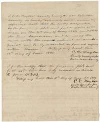 Surveyor's certificateC. C. Taylor's oath of 12 June 1845 on the Matthews survey and his certificate that it was recorded in Book K, pages 111 and 112, on 11 May 1846.General Land Office, file 222, page 5 · in the scan
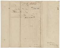 WrapperBack of the field notes for James D. Matthews' Survey No. 23, 640 acres, marked as recorded.General Land Office, file 222, page 6 · in the scan
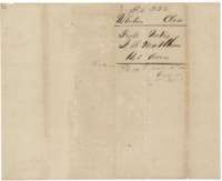 WrapperField-notes wrapper for James D. Matthews' 640 acres, marked patented 16 December 1854.General Land Office, file 222, page 7 · in the scan
Scans courtesy of the Texas General Land Office, Austin, from its Land Grant Database.
Neighbouring surveys
Sources
- Texas General Land Office, Land Grant Database: Navarro County, Abstract 535
- The Land Office file, scanned (PDF, at the General Land Office)
- 1924 map: courtesy of the Texas General Land Office, Austin, Map 73249, used under licence. Topo: U.S. Geological Survey, The National Map. Aerial photographs: U.S. Department of Agriculture, National Agriculture Imagery Program, 2012, 2018 and 2022. Survey outlines: Railroad Commission of Texas, Original Texas Land Survey. Grant records and files: Texas General Land Office.