Blackland TX · ← All the original surveys
John B. McDaniel Survey, Abstract 520
- Granted to
- John B. McDaniel
- Kind of grant
- Headright, first classLand for settlers who were in Texas before independence, 2 March 1836.
- Land Office file
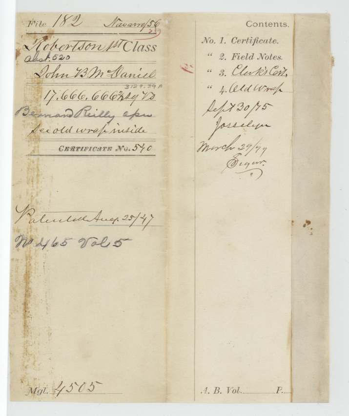
- Robertson 1st class, file 182
- Certificate
- No. 540
- Acres
- 3129.39
- Patented to
- Bernard Reilly
- Patent
- 25 Aug 1847 · No. 465, Vol. 5
Tap a survey to open its page.
What the file shows
John B. McDaniel proved to the San Augustine County Board of Land Commissioners that he emigrated to Texas in 1832 and was a married man, and on 8 June 1838 received first-class certificate No. 540 for two-thirds of a league and a labor. On 6 July 1838 he sold it, by his mark, to Bernard Reilly for $2,000. Deputy surveyor James Scofield located it on the Post Oak fork of Richland Creek, a westerly branch of the Trinity, adjoining the Treadwell, Steel and Mills sections; it was sworn at Franklin in 1841 and examined in 1842. After government dues of $25.10 were paid in Republic of Texas promissory notes, the land was patented to Bernard Reilly, assignee, on 25 August 1847 and delivered to J. P. Henderson.
The certificate
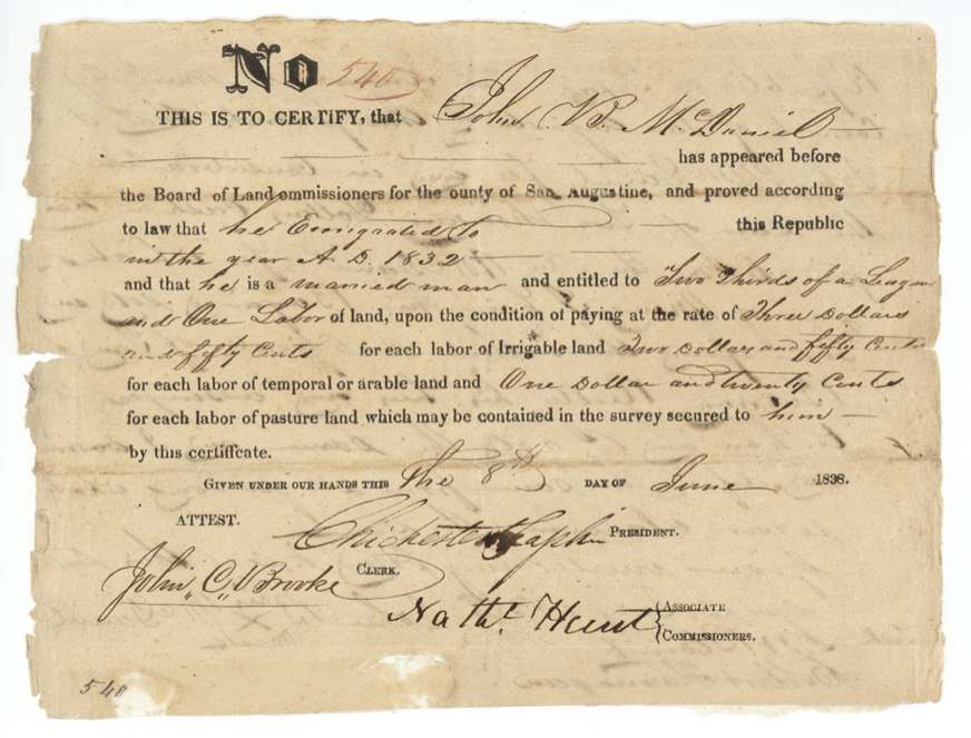
headright 1st class, No. 540, two-thirds of a league and one labor (17,666,666 2/3 sq. varas = 3,129.39 acres per jacket), Board of Land Commissioners for the County of San Augustine - Chichester Chaplin, President; Nathl. Hunt, Associate Commissioner; attest John C. Brooke(?), Clerk, San Augustine County, Republic of Texas, 8 Jun 1838.
John B. McDaniel proved that he emigrated to this Republic in the year 1832 and is a married man; entitled to two-thirds of a league and one labor, on condition of paying $3.50 per labor of irrigable land, $2.50 per labor of temporal (arable) land and $1.20 per labor of pasture land contained in the survey.
Changes of hand
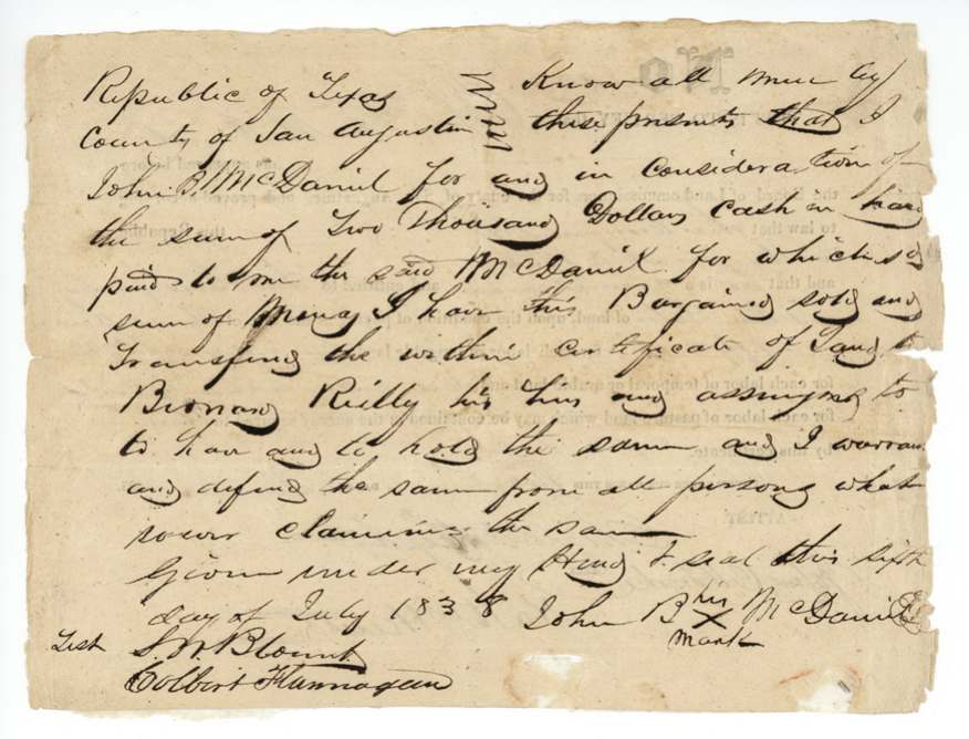
- 6 Jul 1838John B. McDaniel (his mark) → Bernard Reilly, his heirs and assigns, $2,000 cash, San Augustine County, Republic of Texas. Sold the certificate less than a month after it was issued, with warranty.
The survey
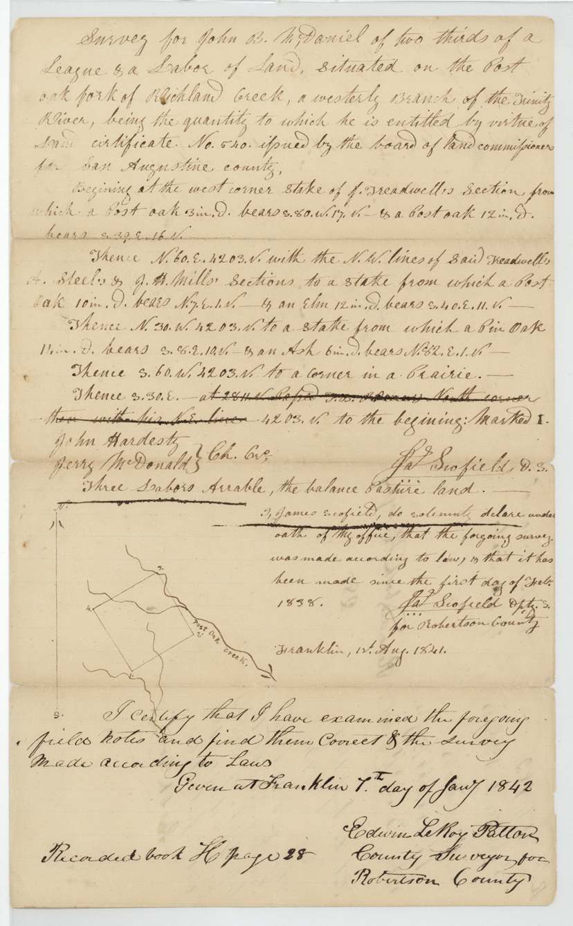
made after 1 Feb 1838; oath sworn at Franklin 1 Aug 1841, Jas. (James) Scofield.
Two-thirds of a league and a labor 'situated on the Post Oak fork of Richland Creek, a westerly branch of the Trinity River'. Beginning at the west corner stake of J. Treadwell's section (post oaks); N 60 E 4203 v with the N.W. lines of said Treadwell's, A. Steel's and J. H. Mills' sections (post oak, elm); N 30 W 4203 v (pin oak, ash); S 60 W 4203 v to a corner in a prairie; S 30 E 4203 v to the beginning. Marked I. Three labors arable, the balance pasture land.
Chain carriers: John Hardesty, Jerry McDonald.
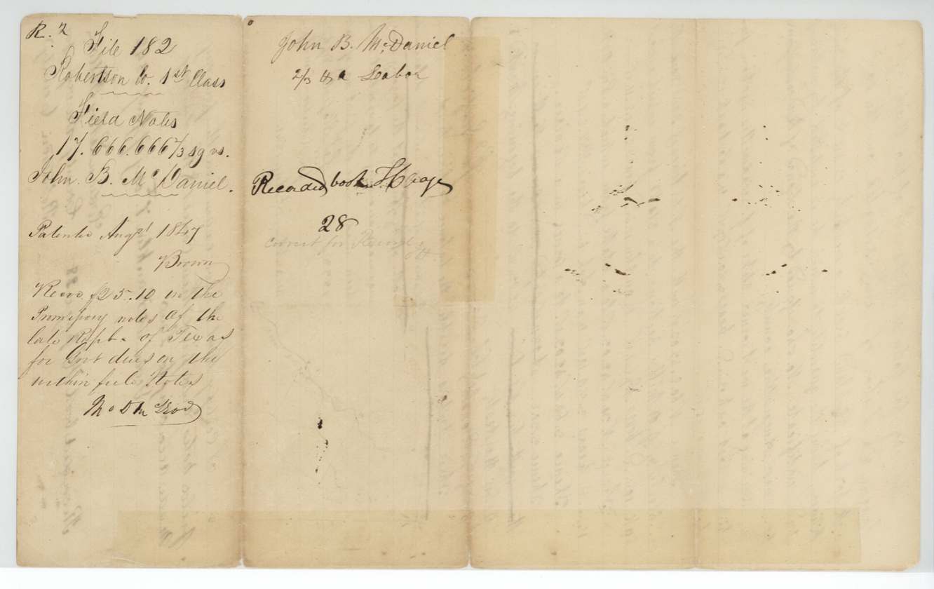
Book H p. 28 (Robertson County)
The patent
25 Aug 1847, No. 465, Vol. 5, to Bernard Reilly, assignee, delivered to J. P. Henderson, 30 Aug 1847.
Also in the file
- An East Texas (San Augustine) headright located far west on the Post Oak fork of Richland Creek, in what was then Robertson County.
- Government dues paid in Republic of Texas promissory notes after annexation ('the late Republic').
- Surveyor's oath (1841) is three years after the transfer; the patent came nine years after the certificate.
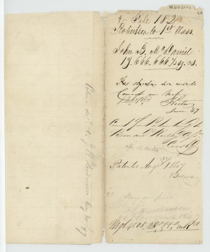
- Old wrapper mentions an objection ('see inside') that is not otherwise explained in the scans.
Timeline
- 1832John B. McDaniel emigrates to Texas (per certificate)
- 8 Jun 1838San Augustine Board issues 1st-class certificate No. 540, 2/3 league + labor, married man
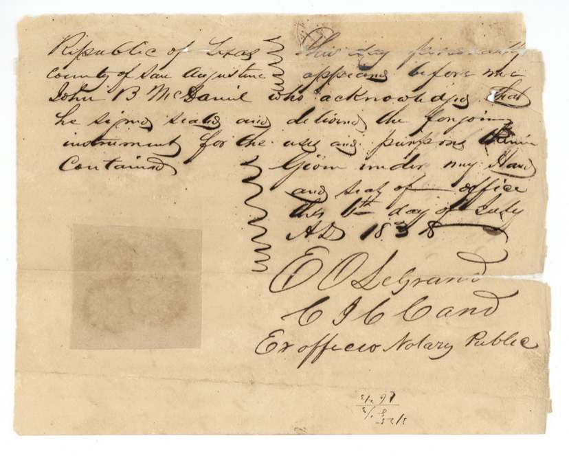
- 6 Jul 1838McDaniel (by mark) sells certificate to Bernard Reilly for $2,000; acknowledged before E. O. Legrand
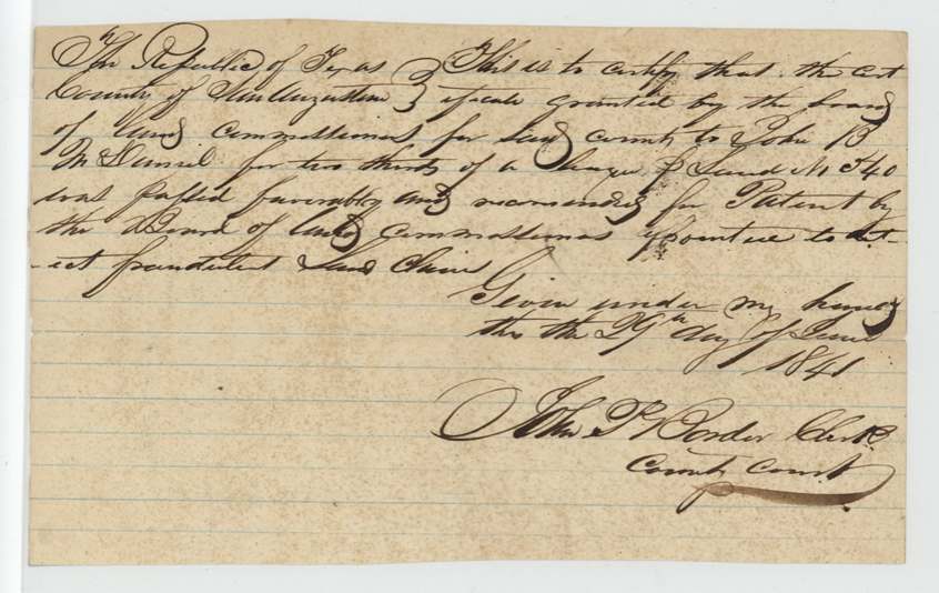
- 1841-06-29(?)Certificate recommended for patent by the fraud-detection board (San Augustine clerk)
- 1 Aug 1841Deputy surveyor James Scofield swears to survey on Post Oak fork of Richland Creek, at Franklin
- 7 Jan 1842County surveyor Edwin LeRoy Patton examines; recorded Book H p. 28
- Jun 1847Map check correct
- 25 Aug 1847Patent No. 465 Vol. 5 to Bernard Reilly, assignee
- 30 Aug 1847Patent delivered to J. P. Henderson
The papers in the file
Every page of the Land Office file, in the order the Land Office keeps them (10 pages). Tap a page to see it larger.
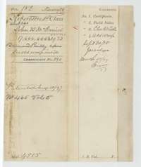 WrapperFile wrapper for John B. McDaniel's headright of two-thirds of a league and one labor, listing the certificate, field notes, clerk's certificate and a conveyance, marked patented 25 August 1847.General Land Office, file 182, page 1 · in the scan
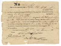 CertificateHeadright certificate No. 540 to John B. McDaniel for two-thirds of a league and one labor, issued by the San Augustine County Board of Land Commissioners, 8 June 1838.General Land Office, file 182, page 2 · in the scan
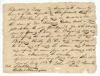 TransferTransfer by John B. McDaniel of his certificate to Bernard Reilly for $2,000 cash, San Augustine County, 6 July 1838.General Land Office, file 182, page 3 · in the scan
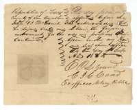 TransferAcknowledgment of the McDaniel transfer to Bernard Reilly before the chief justice of San Augustine County, 6 July 1838.General Land Office, file 182, page 4 · in the scan
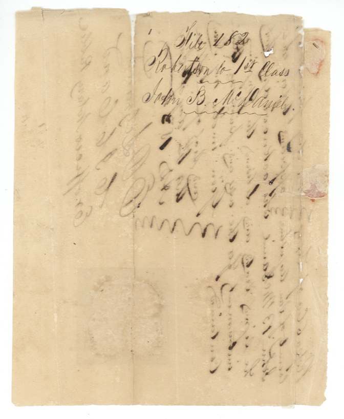
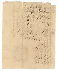 Other papersBack of the transfer, with endorsements and a seal impression.General Land Office, file 182, page 5 · in the scan
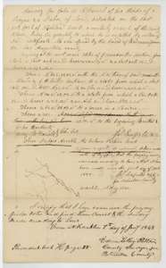 Field notesField notes and plat for two-thirds of a league and one labor on Richland Creek, surveyed for John B. McDaniel by James Scofield, examined 7 January 1842.General Land Office, file 182, page 6 · in the scan
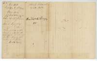 Surveyor's certificateBack of the field notes, with the Robertson County record in Book H, page 28, and the file jacket for John B. McDaniel.General Land Office, file 182, page 7 · in the scan
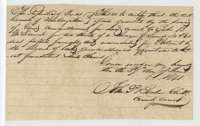 CertificateCertificate of the San Augustine County clerk, June 1841, that McDaniel's certificate No. 540 was recommended for patent by the board.General Land Office, file 182, page 8 · in the scan
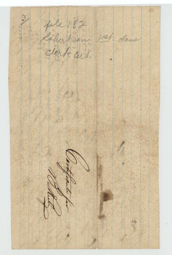
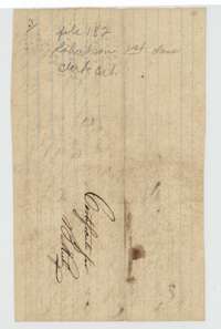 DocketFolded docket for the clerk's certificate, file 182, Robertson first class.General Land Office, file 182, page 9 · in the scan
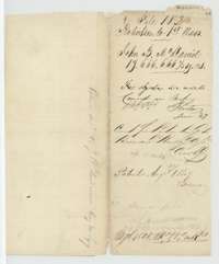 WrapperOld wrapper for John B. McDaniel's headright with map-check and patent notes, marked patented 25 August 1847.General Land Office, file 182, page 10 · in the scan
Scans courtesy of the Texas General Land Office, Austin, from its Land Grant Database.
Neighbouring surveys
Sources
- Texas General Land Office, Land Grant Database: Navarro County, Abstract 520
- The Land Office file, scanned (PDF, at the General Land Office)
- 1924 map: courtesy of the Texas General Land Office, Austin, Map 73249, used under licence. Topo: U.S. Geological Survey, The National Map. Aerial photographs: U.S. Department of Agriculture, National Agriculture Imagery Program, 2012, 2018 and 2022. Survey outlines: Railroad Commission of Texas, Original Texas Land Survey. Grant records and files: Texas General Land Office.