Blackland TX · ← All the original surveys
Alphonse Steel Survey, Abstract 772
- Granted to
- Alphonse Steel
- Kind of grant
- Donation warrantLand given for the battles of 1835–36: Bexar, the Alamo, San Jacinto.
- Land Office file
- Robertson Donation, file 146
- Certificate
- No. 597
- Acres
- 640
- Patented to
- Alphonse Steel
- Patent
- 27 Nov 1845 · No. 129, Vol. 1
Tap a survey to open its page.
What the file shows
Alphonso Steel received Republic of Texas donation certificate No. 597 at Houston on 14 November 1838 for having served at the Battle of San Jacinto, entitling him to 640 acres that could not be sold during his lifetime. Deputy surveyor James Scofield laid it out in 1840 as Section VI on Richland Creek, a branch of the Trinity, adjoining Section V; the field notes were examined at Franklin in June 1841. The War Department approved the certificate in September 1845, and the patent issued to Steel himself on 27 November 1845 (No. 129, Vol. 1).
The certificate
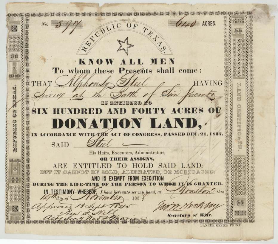
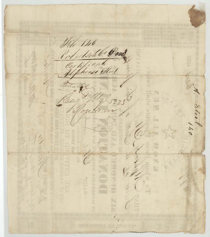
donation, No. 597, 640 acres, G. W. Hockley, Secretary of War, Republic of Texas; approved 13 Sept 1845 by Ben. F. Hill, Acting Secretary of War and Marine, Houston, 14 Nov 1838.
Alphonso Steel 'served at the Battle of San Jacinto' -- 640 acres of donation land under the Act of Congress of 21 December 1837.
The survey
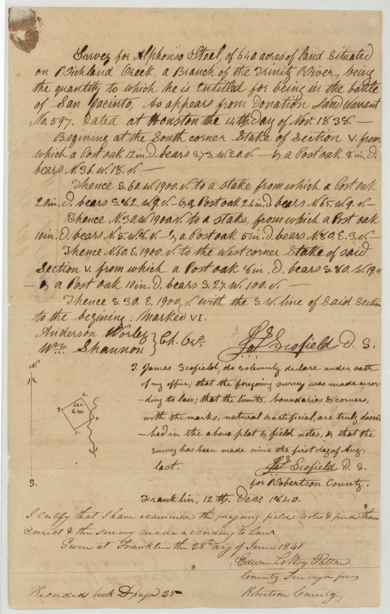
made after 1 Aug 1840; oath dated Franklin, 12 Dec 1840, James (Jas.) Scofield, Deputy Surveyor for Robertson County.
On Richland Creek, a branch of the Trinity River; begins at the south corner stake of Section V and runs with the S.W. line of Section V
Chain carriers: Anderson Worley(?), Wm. Shannon.
Book D, page 25
The patent
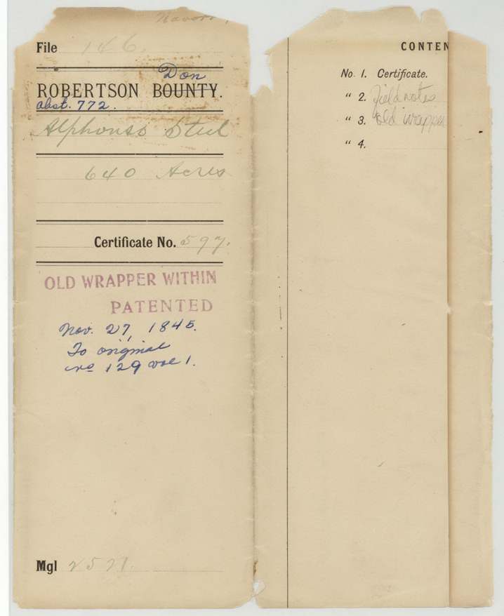
27 Nov 1845, No. 129, Vol. 1, to Alphonso Steel, the original grantee.
Also in the file
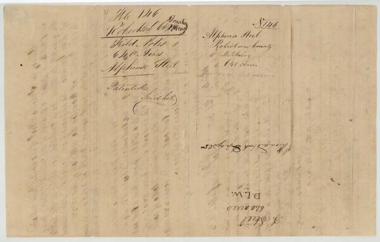
- The printed wrapper was made for a 'Robertson Bounty' file and corrected by hand to 'Donation'.
- The donation certificate could not be sold during Steel's lifetime, and the patent did go to Steel himself -- no assignee.
- The certificate was not approved by the War Department until 1845, seven years after issue, and patented two months later.
Timeline
- 21 Apr 1836Alphonso Steel serves at the Battle of San Jacinto (as stated on the certificate; date is the battle's)
- 14 Nov 1838Donation certificate No. 597 for 640 acres issued at Houston
- 12 Dec 1840James Scofield certifies his survey of Section VI on Richland Creek at Franklin
- 28 Jun 1841Field notes examined by County Surveyor Edwin LeRoy Patton; recorded Book D p. 25
- 13 Sep 1845Certificate approved by Ben F. Hill, Acting Secretary of War and Marine
- 27 Nov 1845Patent No. 129 Vol. 1 issued to Alphonso Steel
The papers in the file
Every page of the Land Office file, in the order the Land Office keeps them (6 pages). Tap a page to see it larger.
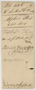 WrapperOld file wrapper for Alphonso Steel's San Jacinto donation, 640 acres, noting the patent of November 1845.General Land Office, file 146, page 1 · in the scan
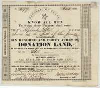 CertificatePrinted donation land certificate No. 597 for 640 acres issued at Houston on 14 November 1838 to Alphonso Steel for service at the Battle of San Jacinto.General Land Office, file 146, page 2 · in the scan
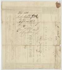 Back of the certificateBack of the Steel donation certificate, with the Robertson County donation file docket.General Land Office, file 146, page 3 · in the scan
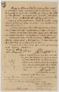 Field notesField notes and plat of 640 acres on Richland Creek for Alphonso Steel, surveyed by deputy surveyor James Scofield, with the county surveyor's certificate of 28 June 1841.General Land Office, file 146, page 4 · in the scan
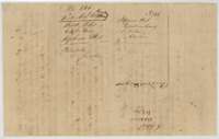 WrapperDocket wrapper for the field notes of 640 acres for Alphonso Steel, marked patented.General Land Office, file 146, page 5 · in the scan
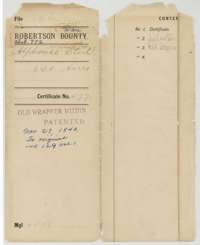 WrapperLater printed wrapper for the Steel donation file, listing the certificate and field notes and noting the patent of 27 November 1845.General Land Office, file 146, page 6 · in the scan
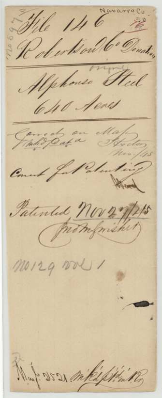
Scans courtesy of the Texas General Land Office, Austin, from its Land Grant Database.
Neighbouring surveys
Sources
- Texas General Land Office, Land Grant Database: Navarro County, Abstract 772
- The Land Office file, scanned (PDF, at the General Land Office)
- 1924 map: courtesy of the Texas General Land Office, Austin, Map 73249, used under licence. Topo: U.S. Geological Survey, The National Map. Aerial photographs: U.S. Department of Agriculture, National Agriculture Imagery Program, 2012, 2018 and 2022. Survey outlines: Railroad Commission of Texas, Original Texas Land Survey. Grant records and files: Texas General Land Office.