Blackland TX · ← All the original surveys
Henry Hubble Survey, Abstract 351
- Granted to
- Henry Hubble
- Kind of grant
- Headright, second classLand for settlers who came between independence and 1 October 1837.
- Land Office file
- Robertson 2nd class, file 683
- Certificate
- No. 17/99
- Acres
- 124.60
- Patented to
- Henry Hubble
- Patent
- 19 Nov 1873 · No. 422, Vol. 8
Tap a survey to open its page.
What the file shows
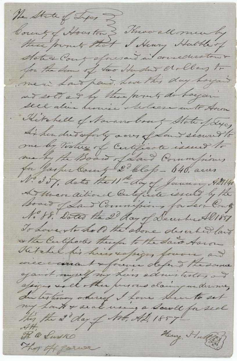
Henry Hubble held a 640-acre second-class headright (Jasper County conditional No. 357, 1840; Leon County unconditional No. 88). In 1857 he sold it to Aaron Kitchell of Navarro County for $200. After Kitchell's death his administrator, James M. Riggs, auctioned a duplicate of the certificate (No. 29/89, issued 1869) at the Corsicana courthouse in March 1870 to Henry Jones for 40 cents an acre. With 219 acres already used, the 421-acre balance was partly located in November 1873 as a 124 6/10-acre vacancy on the waters of Richland Creek, which the county surveyor drew from neighbouring surveys instead of on the ground. The tract was patented in Hubble's name on 19 December 1873, and the remaining 296 4/10 acres went out as a new balance certificate to DeCordova & Withers.
The certificate
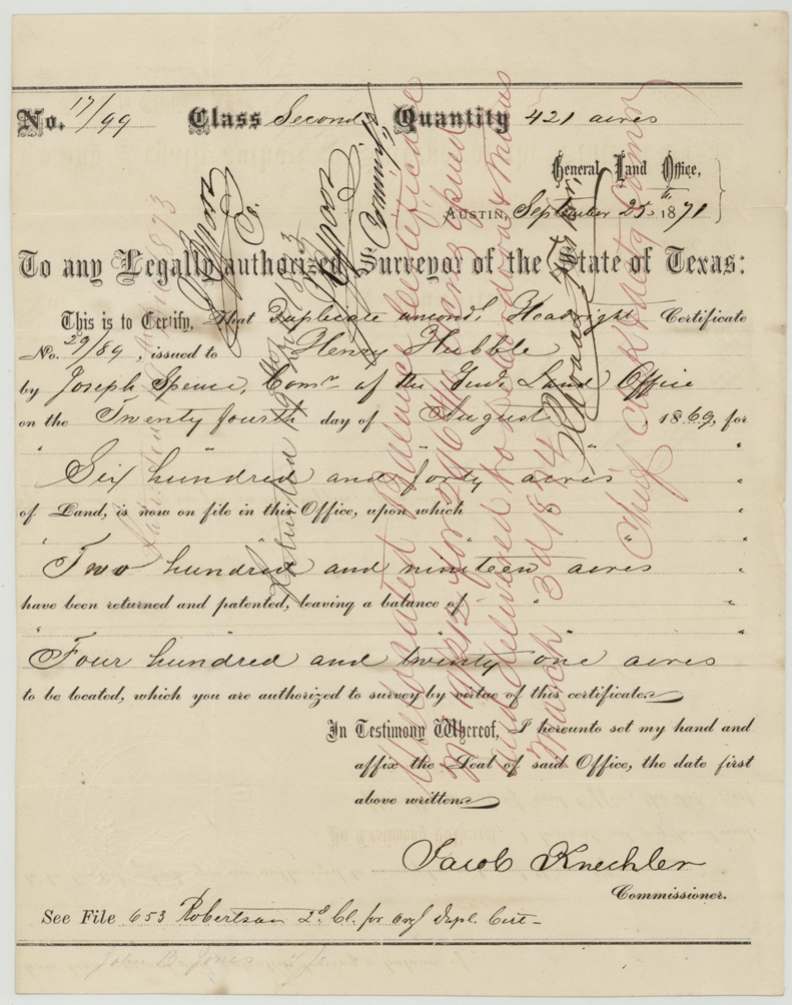
headright 2nd class (unlocated balance certificate), No. Unlocated balance No. 17/99 (421 acres), from duplicate unconditional No. 29/89; originally conditional No. 357 (Jasper County) and unconditional No. 88 (Leon County), 640 originally; 421 balance; 124 6/10 in this survey; 296 4/10 left over, Unlocated balance: Jacob Kuechler, Commissioner, General Land Office. Duplicate unconditional: Joseph Spence, Commissioner GLO. Originals (per the 1857 deed): Board of Land Commissioners for Jasper County (conditional) and Leon County (unconditional), Austin (GLO), Balance cert. 1871-09-25; duplicate 1869-08-24; originals 1840-01-11 (conditional) and 1851-12-02(?) (unconditional).
Second-class headright of 640 acres; the file does not state the arrival date. The balance certificate says 219 acres of the duplicate had already been returned and patented, leaving 421 acres to be located.
Changes of hand
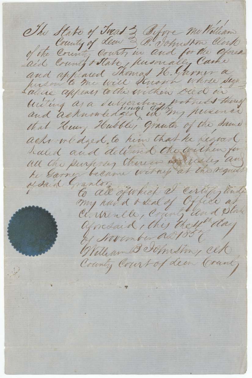
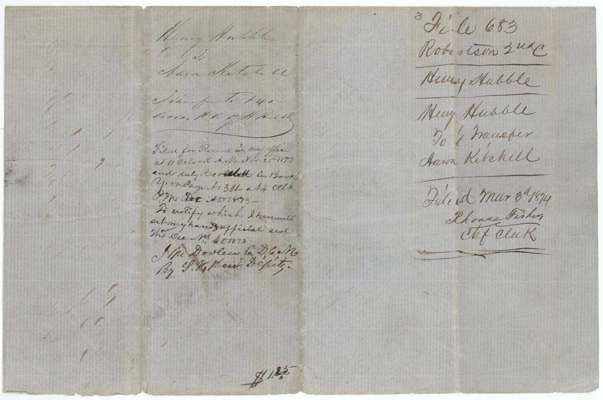
- 2 Nov 1857Henry Hubble, of Houston County → Aaron Kitchell, of Navarro County, $200, Houston County (header); acknowledged at Centreville, Leon County. Sells 640 acres secured by Jasper County 2nd-class certificate No. 357 (11 Jan 1840) and Leon County unconditional certificate No. 88 (2 Dec 1851(?)), with general warranty. Recorded Navarro County Book Y(?) p. 301, 28 Nov 1873. Filed GLO 3 Mar 1874.
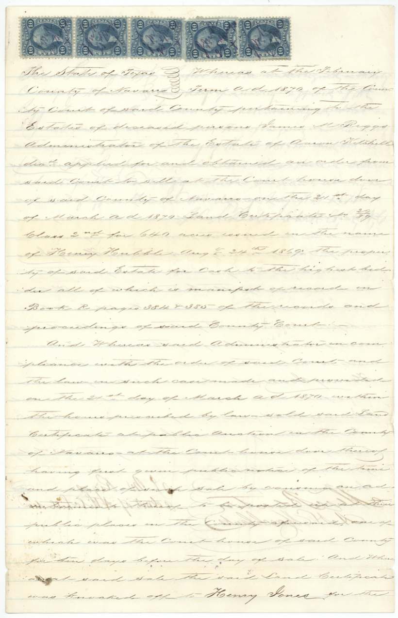
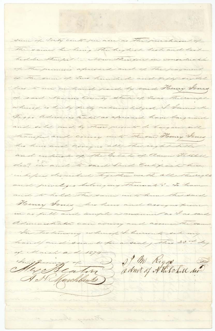
- 1870-03-23 (public auction held 1870-03-21)James M. Riggs, administrator of the estate of Aaron Kitchell, deceased → Henry Jones, of Navarro County, 40 cents per acre — $256, Courthouse door, Navarro County (Corsicana). Sale ordered at the February 1870 term of the county court (Book R pp. 384-385) of land certificate No. 29/89, class 2nd, for 640 acres issued in the name of Henry Hubble 24 Aug 1869. Five 10-cent revenue stamps. Recorded Book T pp. 294-295, 31 May 1870. Filed GLO 3 Mar 1874.
The survey
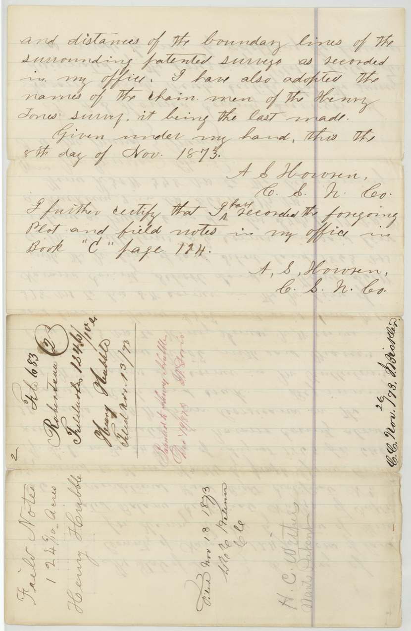
8 Nov 1873, A. S. Howren(?), County Surveyor, Navarro County.
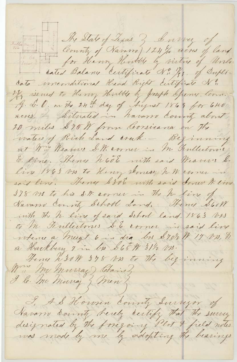
Navarro County, about 20 miles S 70 W from Corsicana, on the waters of Richland Creek
Chain carriers: Wm. McMurray, J. C. McMurray.
Navarro County Book 'C' page 174
The patent
19 Dec 1873, No. 422, Vol. 8 (red), to Henry Hubble, delivered to not stated; pencil 'Capt. Withers Dec 18/73'.
Also in the file
- The patent went to Henry Hubble in 1873, sixteen years after he had sold the certificate for $200. The real owner by then was Henry Jones, who had bought it at an estate auction.
- The county surveyor openly says he did not run the lines on the ground: he copied the boundaries from the surrounding patented surveys and borrowed the chain carriers' names from the neighbouring Henry Jones survey.
- This small 124-acre tract is a leftover gap squeezed between Weaver, Fullerton, Henry Jones and the Navarro County School Land, and its new owner Henry Jones was one of its neighbours.
- At the 1870 estate sale the certificate fetched only 40 cents an acre.
- The original 1840 and 1851 certificates were evidently lost or used up; the land was finally claimed under a 1869 duplicate and then two 'unlocated balance' certificates, the last of which (296 4/10 acres) went to the Austin land agents DeCordova & Withers.
- The 1857 deed is headed 'County of Houston' but was acknowledged in Leon County.
Timeline
- 11 Jan 1840Conditional 2nd-class certificate No. 357 issued to Henry Hubble by the Jasper County board
- 2 Dec 1851Unconditional certificate No. 88 issued by the Leon County board (year uncertain)
- 2 Nov 1857Hubble sells his 640-acre right to Aaron Kitchell for $200
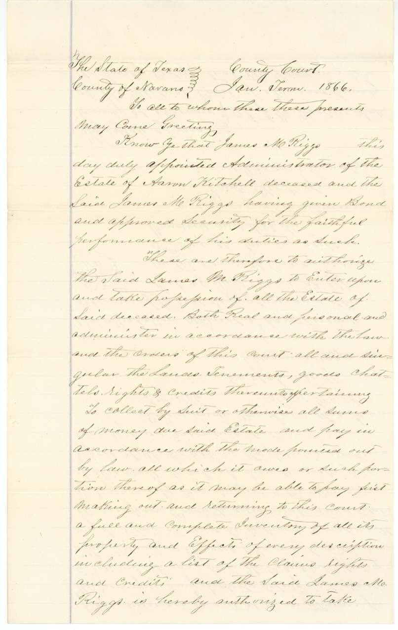
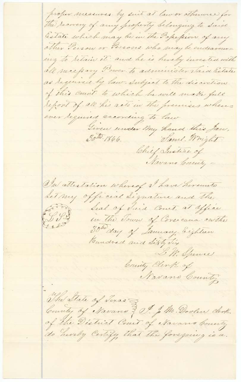
- 30 Jan 1866James M. Riggs appointed administrator of Aaron Kitchell's estate
- 24 Aug 1869Duplicate unconditional certificate No. 29/89 issued by Commissioner Joseph Spence
- 21 Mar 1870Certificate auctioned at the Navarro County courthouse to Henry Jones at 40 cents an acre
- 23 Mar 1870Administrator's deed to Henry Jones
- 25 Sep 1871Unlocated balance certificate No. 17/99 for 421 acres issued
- 5 Sep 1872Certificate forwarded to Jno. B. Jones, Corsicana, for relocation
- 8 Nov 1873124 6/10-acre survey made on the waters of Richland Creek
- 19 Dec 1873Patent No. 422 Vol. 8 issued to Henry Hubble
- 3 Mar 1874Balance certificate No. 19/212 for 296 4/10 acres delivered to DeCordova & Withers
The papers in the file
Every page of the Land Office file, in the order the Land Office keeps them (20 pages). Tap a page to see it larger.
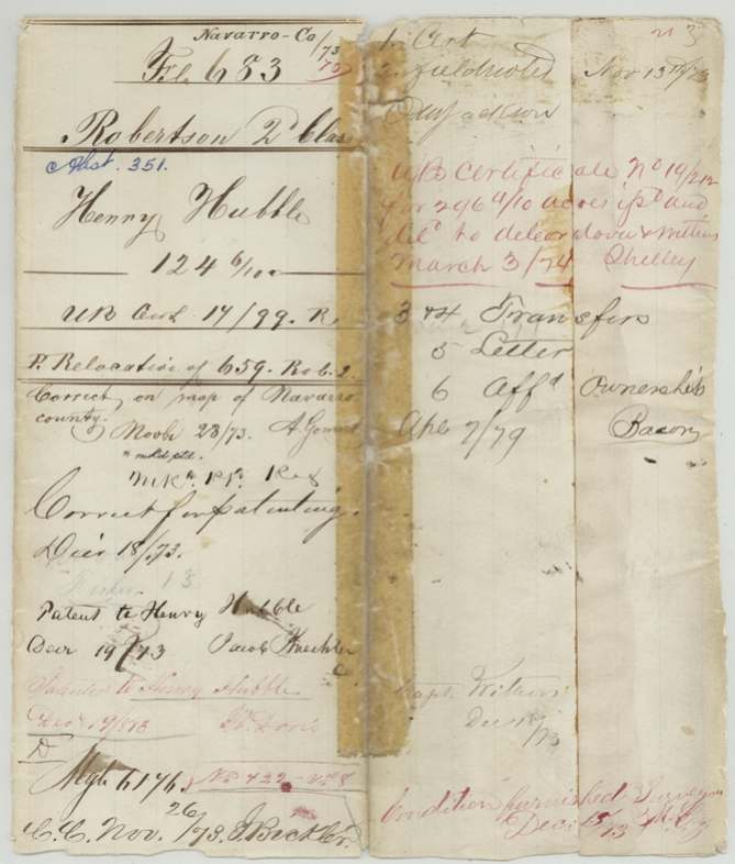
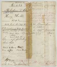 File jacketFile jacket for Henry Hubble's 124 6/10 acres in Navarro County, Robertson 2nd Class, with filing notes and the patent entry of December 1873.General Land Office, file 683, page 1 · in the scan
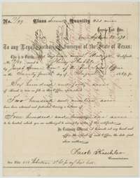 CertificateUnlocated balance certificate for 421 acres issued to Henry Hubble at the General Land Office, signed by Commissioner Jacob Kuechler, 25 September 1871.General Land Office, file 683, page 2 · in the scan
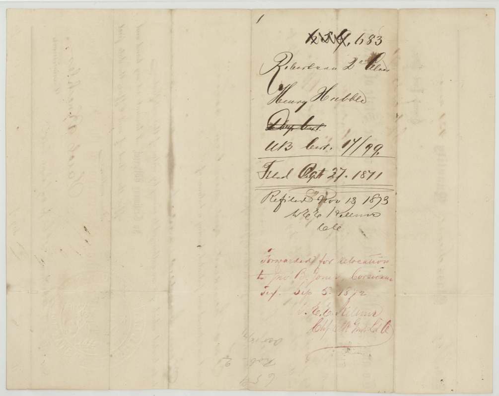
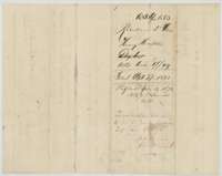 Back of the certificateBack of the balance certificate, with filing notes of 27 September 1871 and its forwarding for relocation to Corsicana in 1872.General Land Office, file 683, page 3 · in the scan
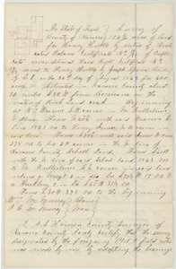 Field notesField notes and sketch plat of 124 6/10 acres on Richland Creek, Navarro County, for Henry Hubble, by county surveyor A. S. Howren, 8 November 1873.General Land Office, file 683, page 4 · in the scan
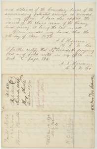 Field notesSecond page of the Hubble field notes, with the county surveyor's certificate and record reference, 8 November 1873, and the General Land Office filing note.General Land Office, file 683, page 5 · in the scan
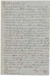 TransferDeed of 2 November 1857 in which Henry Hubble sells his 640-acre headright to Aaron Kitchell of Navarro County for $200.General Land Office, file 683, page 6 · in the scan
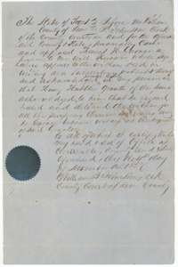 TransferLeon County clerk's acknowledgment of the Hubble to Kitchell deed, 4 November 1857.General Land Office, file 683, page 7 · in the scan
 TransferBack of the Hubble to Kitchell deed, with the Navarro County recording note and the General Land Office filing stamp of 3 March 1874.General Land Office, file 683, page 8 · in the scan
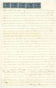 TransferFirst page of the administrator's deed selling the Hubble land certificate at auction in Navarro County, March 1870, carrying five revenue stamps.General Land Office, file 683, page 9 · in the scan
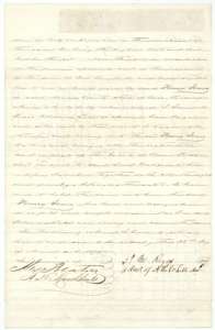 TransferSecond page of the administrator's deed, in which James M. Riggs conveys the certificate to Henry Jones for 40 cents an acre, 23 March 1870.General Land Office, file 683, page 10 · in the scan
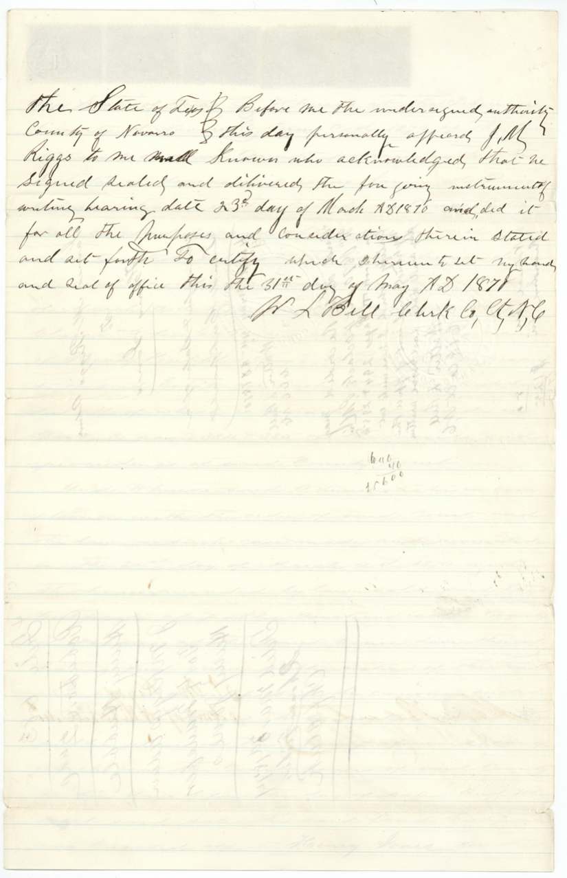
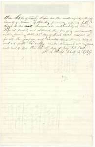 TransferNavarro County clerk's acknowledgment of the administrator's deed to Henry Jones, 31 May 1870.General Land Office, file 683, page 11 · in the scan
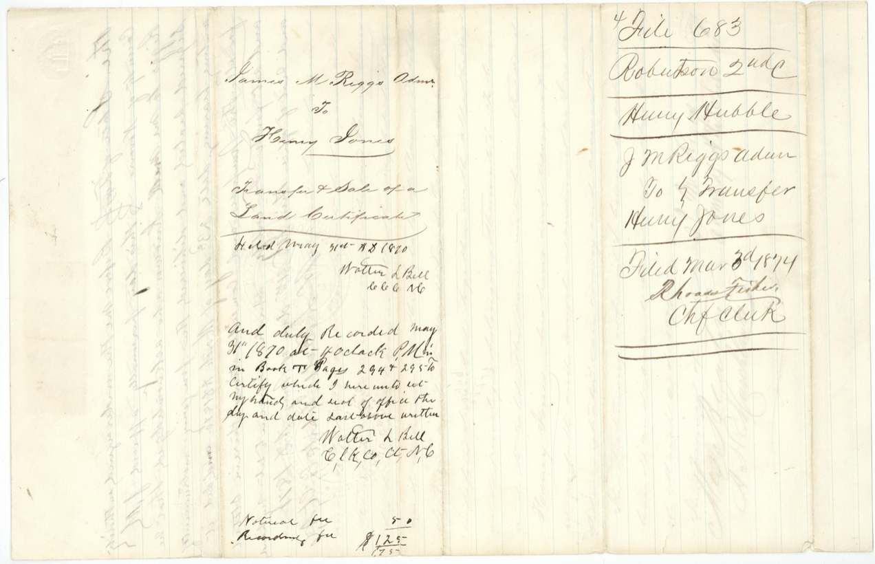
 TransferBack of the administrator's deed, with the recording note of May 1870 and the General Land Office filing stamp of 3 March 1874.General Land Office, file 683, page 12 · in the scan
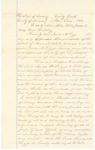 Other papersLetters of administration naming James M. Riggs administrator of the estate of Aaron Kitchell, Navarro County, January 1866.General Land Office, file 683, page 13 · in the scan
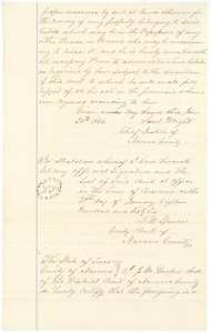 Other papersContinuation of the letters of administration, signed by the county clerk and certified under court seal at Corsicana.General Land Office, file 683, page 14 · in the scan
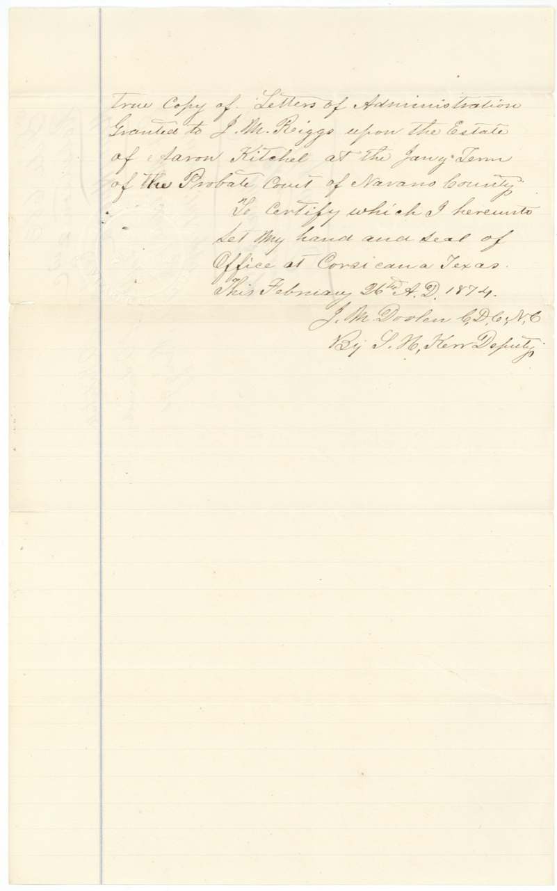
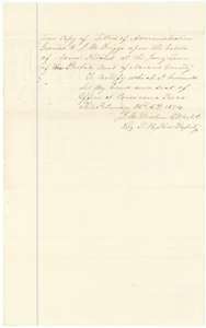 Other papersClerk's certified copy of the letters of administration for the Kitchell estate, Corsicana, 26 February 1874.General Land Office, file 683, page 15 · in the scan
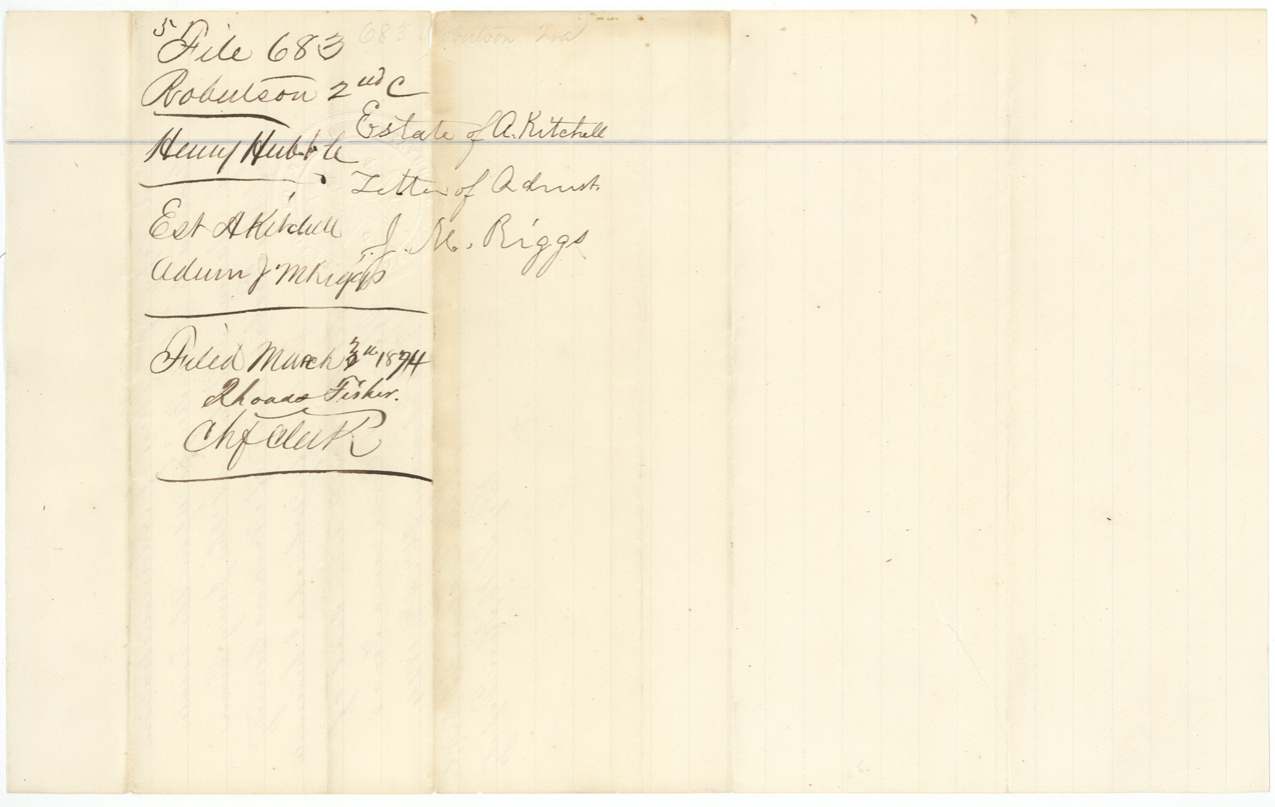
 Other papersBack of the letters of administration, with the file number and the General Land Office filing stamp of 3 March 1874.General Land Office, file 683, page 16 · in the scan
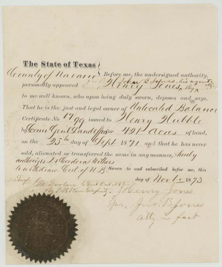
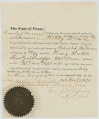 AffidavitAffidavit of Henry Jones, by his agent, that he owns the balance certificate and has not sold it, sworn in Navarro County, November 1873.General Land Office, file 683, page 17 · in the scan
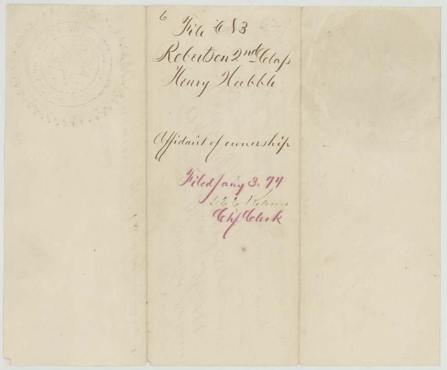
 WrapperBack of the affidavit of ownership, with the file number and the filing note of 3 January 1874.General Land Office, file 683, page 18 · in the scan
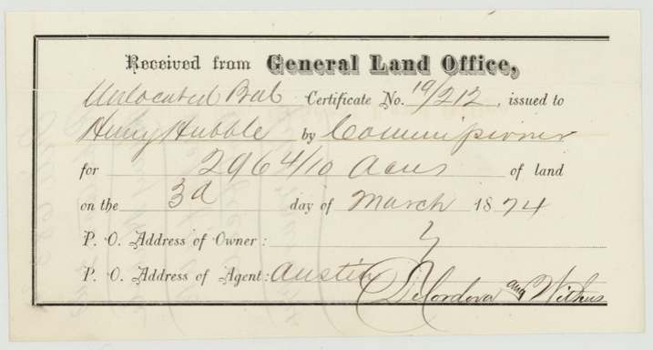
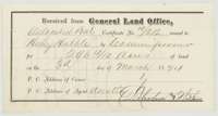 ReceiptGeneral Land Office receipt for balance certificate No. 19/212 for 296 4/10 acres, delivered on 3 March 1874 to the agents DeCordova and Withers at Austin.General Land Office, file 683, page 19 · in the scan
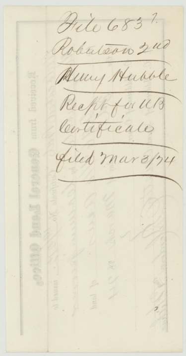
 WrapperBack of the receipt, with the file number and the filing note of 3 March 1874.General Land Office, file 683, page 20 · in the scan
Scans courtesy of the Texas General Land Office, Austin, from its Land Grant Database.
Neighbouring surveys
Sources
- Texas General Land Office, Land Grant Database: Navarro County, Abstract 351
- The Land Office file, scanned (PDF, at the General Land Office)
- 1924 map: courtesy of the Texas General Land Office, Austin, Map 73249, used under licence. Topo: U.S. Geological Survey, The National Map. Aerial photographs: U.S. Department of Agriculture, National Agriculture Imagery Program, 2012, 2018 and 2022. Survey outlines: Railroad Commission of Texas, Original Texas Land Survey. Grant records and files: Texas General Land Office.