Blackland TX · ← All the original surveys
Joseph E. Packwood Survey, Abstract 642
- Granted to
- Joseph E. Packwood
- Kind of grant
- Headright, second classLand for settlers who came between independence and 1 October 1837.
- Land Office file
- Robertson 2nd class, file 534
- Certificate
- No. 76
- Acres
- 640
- Patented to
- Joseph S. Packwood
- Patent
- 13 Apr 1859 · No. 192, Vol. 6
Tap a survey to open its page.
What the file shows
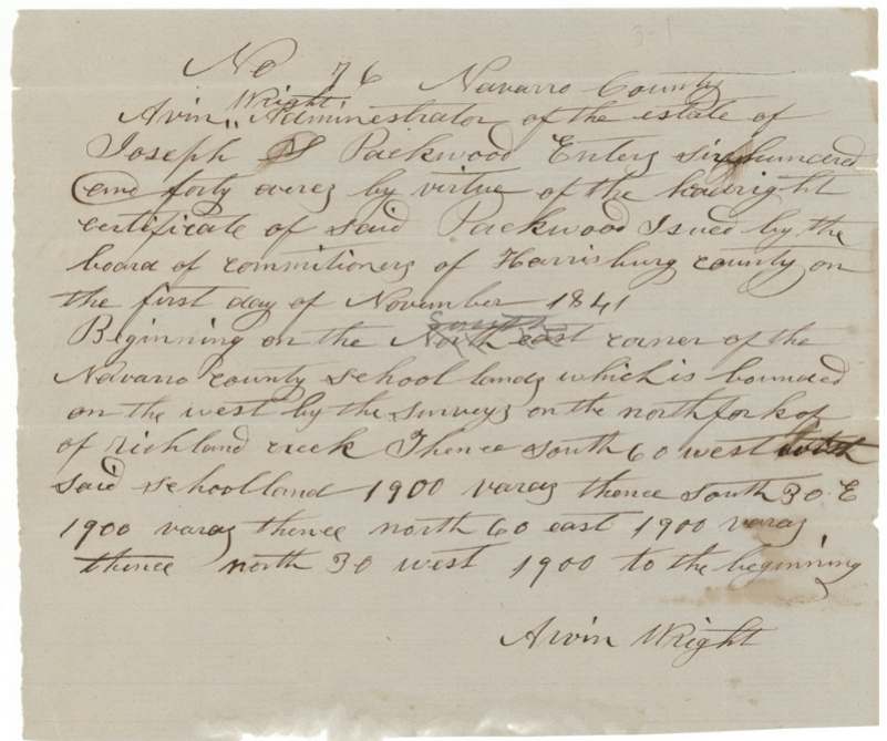
Joseph S. Packwood proved to the Harrisburg County land board that he came to Texas before October 1837 as a single man, and received a conditional 640-acre second-class headright (No. 1144) on 29 January 1839. It was exchanged for unconditional certificate No. 76 at Houston on 1 November 1841. After his death, Arvin(?) Wright, administrator of his estate, entered the certificate in Navarro County. Deputy surveyor Milton Wright surveyed it on 30 June 1857 on the waters of Richland Creek, about 20½ miles west-southwest of Corsicana, against the Navarro County School Land league. The patent (No. 192, Vol. 6) issued in Packwood's name in April 1859.
The certificate
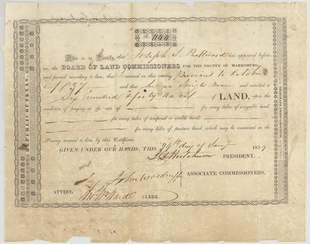
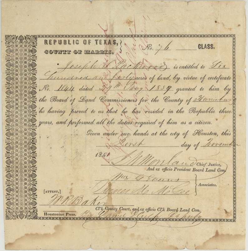
headright 2nd class, No. 1144 (conditional); 76 (unconditional), 640 acres, Board of Land Commissioners for the County of Harrisburg (conditional: J. G.(?) Hutchinson, President; John Woodruff, Associate; attest Thos. Wm. Ward, Clerk). Unconditional: Board of Land Commissioners, Harris County (A. M. Moreland(?), Chief Justice and ex officio President; Wm. G. Evans and James M. McGee(?), Associates; attest W. R. Baker, Clerk, by deputy), Harrisburg County (Houston), conditional 1839-01-29; unconditional 1841-11-01.
Joseph S. Packwood proved he 'arrived in this country previous to October 1837' and was 'a single man', entitled to 640 acres. The unconditional certificate states he had resided in the Republic three years and performed all the duties required of a citizen.
The survey
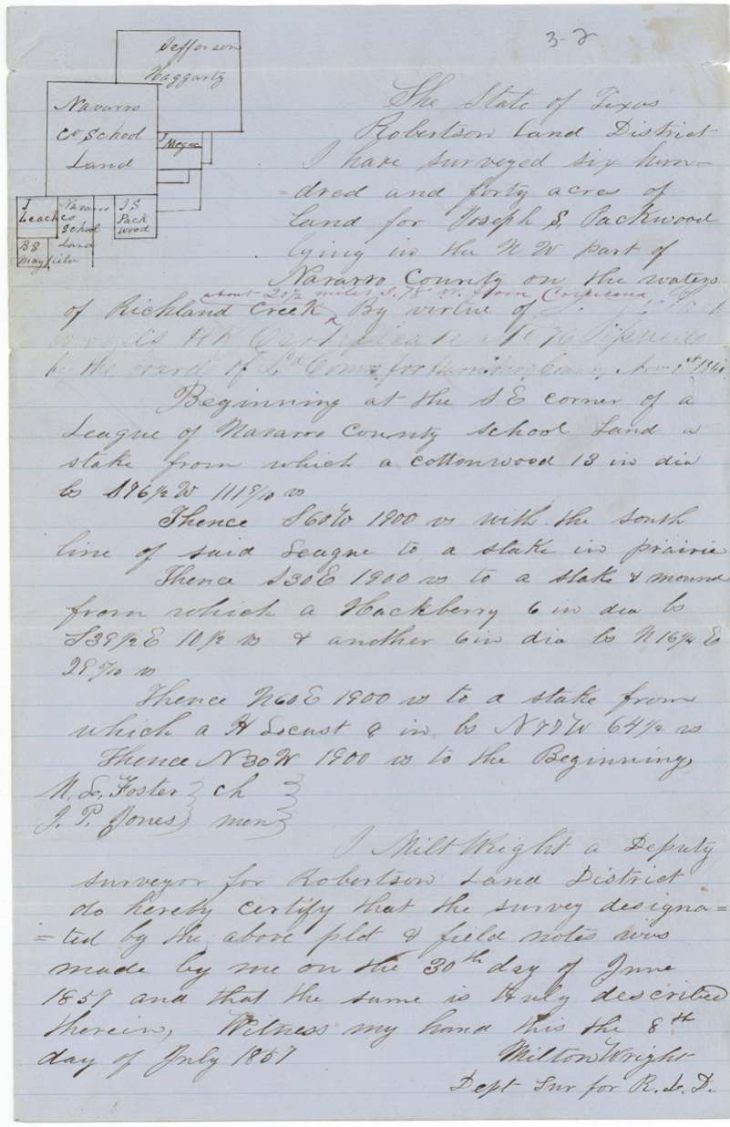
1857-06-30 (certified 1857-07-08), Milton Wright, Deputy Surveyor, Robertson Land District.
NW part of Navarro County, on the waters of Richland Creek, about 20½ miles S 78 W from Corsicana (red addition)
Chain carriers: M. L. Foster(?), J. P. Jones.
Book W page 82(?)
The patent
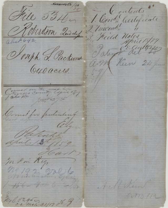
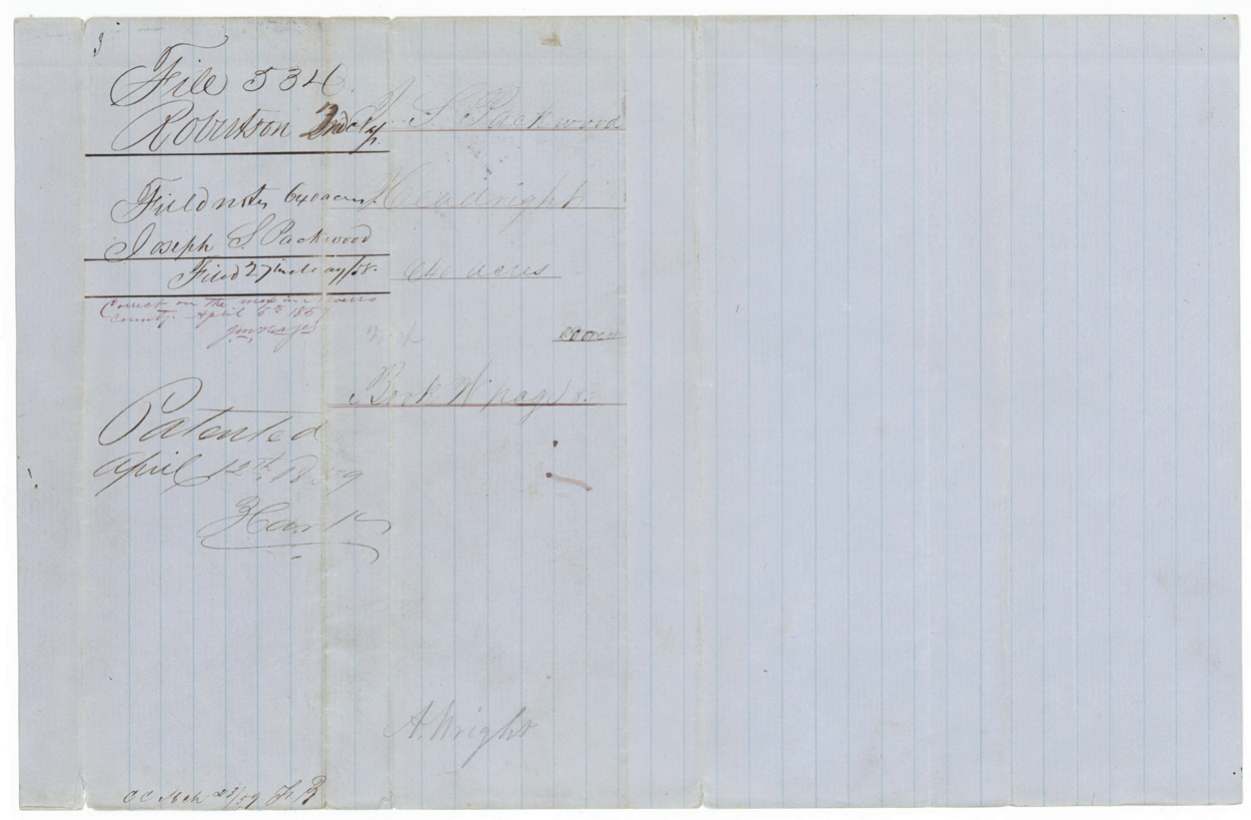
1859-04-12 (or 13th; digit overwritten), No. 192, Vol. 6 (an earlier entry '156 Vol 6' struck through), to Joseph S. Packwood, delivered to pencil 'Patent del'd April 18/7?' to C. E. Anthony(?); also 'A. M.(?) Kerr' and 'A. H. Kerr, 5 AB 112'.
Also in the file
- Packwood was dead by the time his land was located: the entry was made by Arvin(?) Wright as administrator of his estate, and the survey was run by a Milton Wright. The surname is the same, but the file does not say whether the two men were related.
- Packwood's middle initial varies: 'S' on the certificates and patent, 'M' on the back of the conditional certificate, and 'E' in the index.
- The patent was still issued in Packwood's own name in 1859, not to his heirs or estate.
- The certificate dates from 1839-1841, but the land was not surveyed until 1857, more than 15 years later.
Timeline
- 1837 (before October)Joseph S. Packwood arrives in Texas, single man
- 29 Jan 1839Conditional certificate No. 1144 issued by the Harrisburg County board
- 1 Nov 1841Unconditional certificate No. 76 issued at Houston; conditional cancelled
- 30 Jun 1857Survey made by Milton Wright on the waters of Richland Creek
- 30 Sep 1857Examined and recorded by District Surveyor Thos. J. Oliver
- 27 May 1858Field notes filed in the GLO
- 12 Apr 1859Patent No. 192 Vol. 6 issued
The papers in the file
Every page of the Land Office file, in the order the Land Office keeps them (10 pages). Tap a page to see it larger.
 File jacketFile jacket for Joseph S. Packwood's 640-acre headright, listing the certificates and field notes, with patent notes of 1859.General Land Office, file 534, page 1 · in the scan
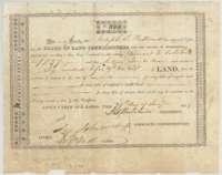 CertificateConditional headright certificate No. 1144 of 29 January 1839 from the Harrisburg County land board for Joseph S. Packwood, 640 acres.General Land Office, file 534, page 2 · in the scan
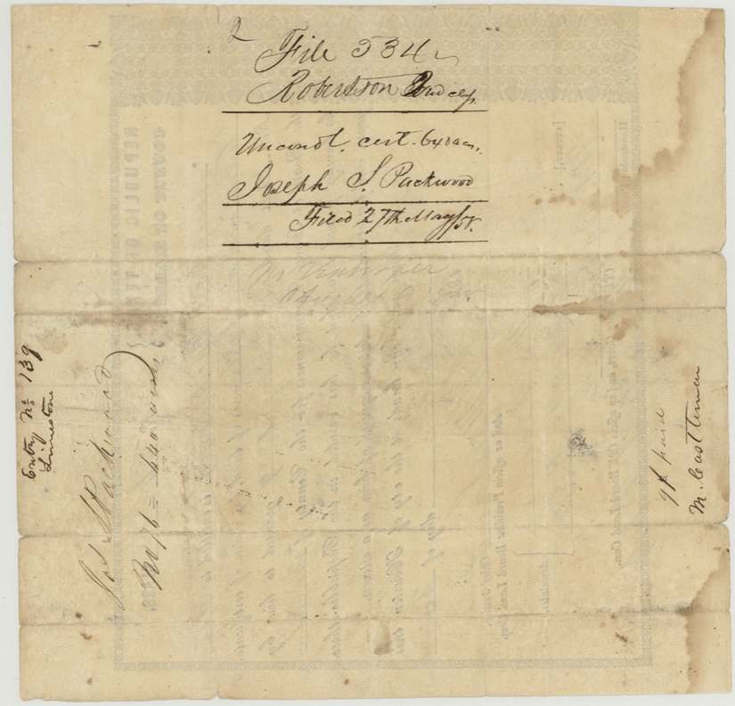
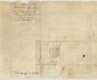 Back of the certificateBack of the conditional certificate, noting it was surrendered and cancelled for the unconditional certificate of 1 November 1841.General Land Office, file 534, page 3 · in the scan
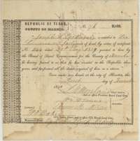 CertificateUnconditional headright certificate No. 76 of 1 November 1841 from the Harris County land board for Joseph S. Packwood, 640 acres.General Land Office, file 534, page 4 · in the scan
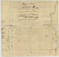 WrapperFiling wrapper for the unconditional certificate of Joseph S. Packwood.General Land Office, file 534, page 5 · in the scan
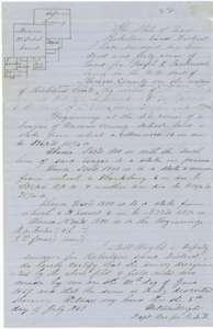 Field notesField notes of 640 acres on Richland Creek surveyed for Joseph S. Packwood's certificate by deputy surveyor Milton Wright, 30 June 1857, with plat.General Land Office, file 534, page 6 · in the scan
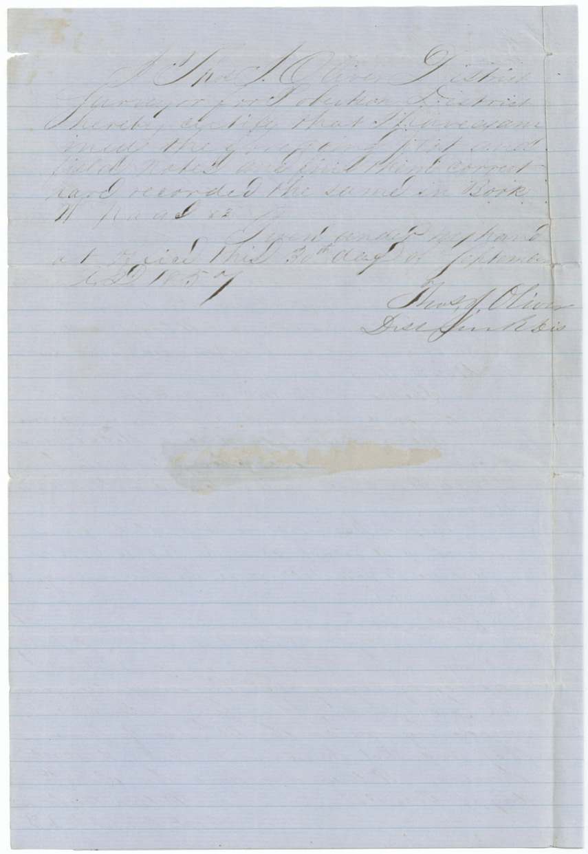
 Surveyor's certificateDistrict Surveyor Thos. J. Oliver's certificate of 30 September 1857 that he examined the Packwood field notes and recorded them in Book W.General Land Office, file 534, page 7 · in the scan
 WrapperFiling wrapper for the Packwood field notes by Milton Wright, with the patent note of April 1859.General Land Office, file 534, page 8 · in the scan
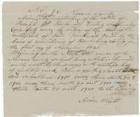 Other papersEntry for 640 acres on Richland Creek made for Joseph S. Packwood's certificate by Arvin Wright, administrator of his estate.General Land Office, file 534, page 9 · in the scan
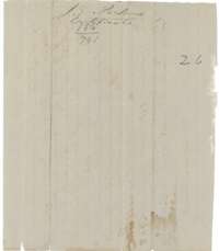 WrapperSmall wrapper labelled with Joseph S. Packwood's certificate.General Land Office, file 534, page 10 · in the scan

Scans courtesy of the Texas General Land Office, Austin, from its Land Grant Database.
Neighbouring surveys
Sources
- Texas General Land Office, Land Grant Database: Navarro County, Abstract 642
- The Land Office file, scanned (PDF, at the General Land Office)
- 1924 map: courtesy of the Texas General Land Office, Austin, Map 73249, used under licence. Topo: U.S. Geological Survey, The National Map. Aerial photographs: U.S. Department of Agriculture, National Agriculture Imagery Program, 2012, 2018 and 2022. Survey outlines: Railroad Commission of Texas, Original Texas Land Survey. Grant records and files: Texas General Land Office.