Blackland TX · ← All the original surveys
John Jacobs Survey, Abstract 441
- Granted to
- John Jacobs
- Kind of grant
- Headright, third classLand for later settlers, including the colonists of Mercer’s Colony.
- Land Office file
- Robertson 3rd class, file 3815
- Certificate
- No. 7
- Acres
- 480
- Patented to
- Arvin Wright
- Patent
- 03 Oct 1860 · No. 560, Vol. 25
Tap a survey to open its page.
What the file shows
In December 1855 the Navarro County District Court granted John Jacobs a 640-acre certificate as a colonist in Mercer's Colony, and he sold it to William F. Henderson that same day for $250. Henderson sold it to Arvin Wright for $300 in March 1856. The certificate was split: 160 acres near Waxahachie in Ellis County, surveyed by Posey H. Gordon in 1856, and 480 acres on the waters of Richland Creek in northwest Navarro County, surveyed by Milton Wright in July 1857. Both tracts were patented to Arvin Wright as assignee on October 3, 1860.
The certificate
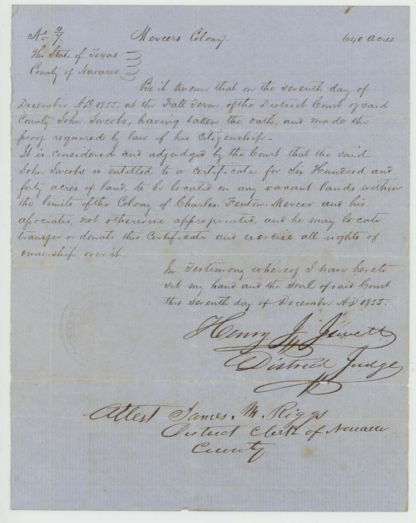
other (Mercer's Colony certificate; GLO classes it Robertson 3rd), No. written 'No. 0/7' (read as No. 7; wrapper says 'No 7'); the Navarro field notes give a different number, struck through (276?), and Arvin Wright's entry gives 'No 576(?)', 640 acres, District Court of Navarro County, Fall Term — Henry J. Jewett, District Judge; attested James M. Riggs, District Clerk, Navarro County, 7 Dec 1855.
John Jacobs 'having taken the oaths and made the proof required by law of his citizenship' as a colonist; entitled to 640 acres on any vacant land within the limits of the colony of Charles Fenton Mercer and his associates
Changes of hand
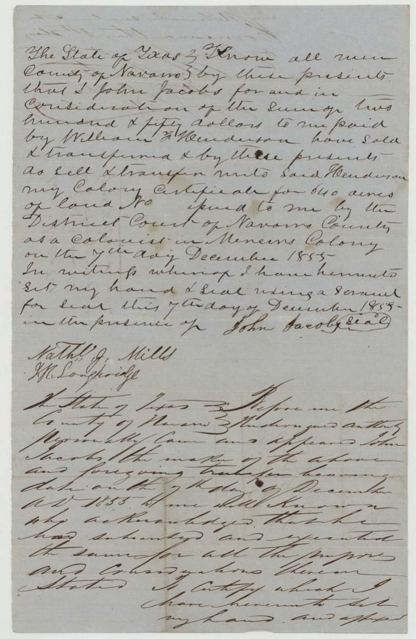
- 7 Dec 1855John Jacobs → William F. Henderson, $250, Navarro County. Sold the same day the court issued the certificate; signed with a scrawl for seal
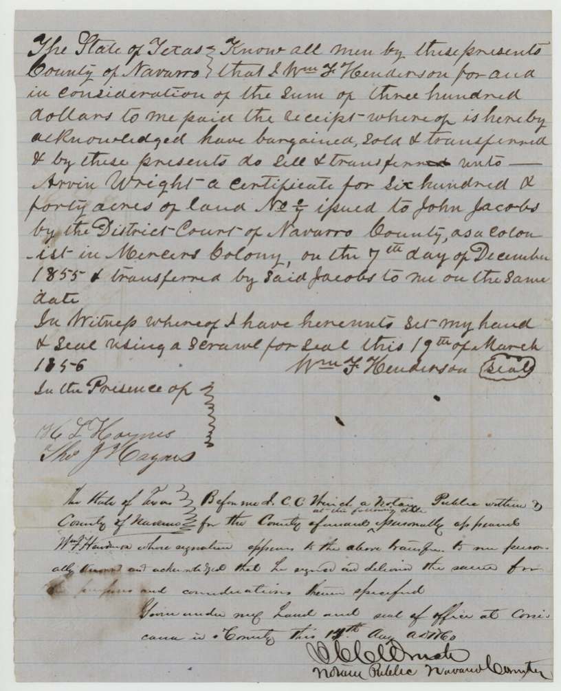
- 19 Mar 1856William F. Henderson → Arvin Wright, $300, Navarro County. Acknowledgment was made more than four years after the sale, and after the file had already been lodged in the Land Office
The survey
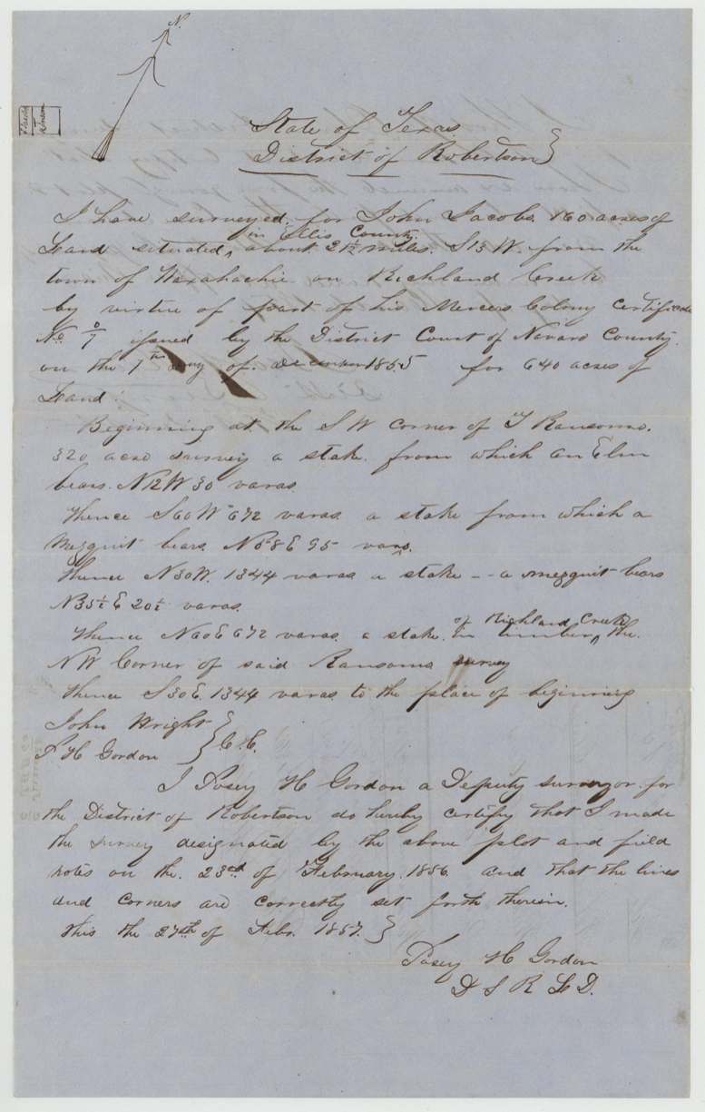
1856-02-23 (certified 1857-02-27), Posey H. Gordon, Deputy Surveyor, Robertson District.
Ellis County, about 2½ miles S 13 W from the town of Waxahachie on Richland Creek; beginning at the SW corner of J. Ransom's(?) 320-acre survey
Chain carriers: John Wright, P. H. Gordon.
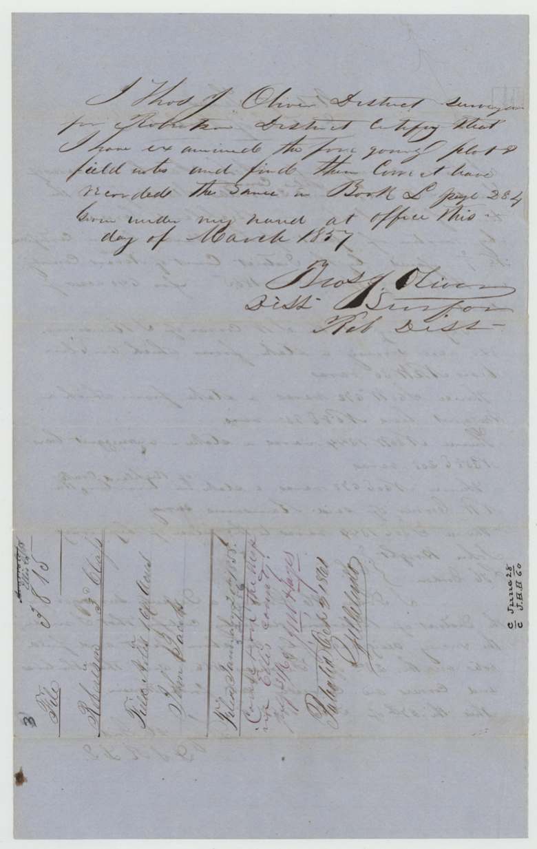
Book L, page 284 (March 1857)
The survey
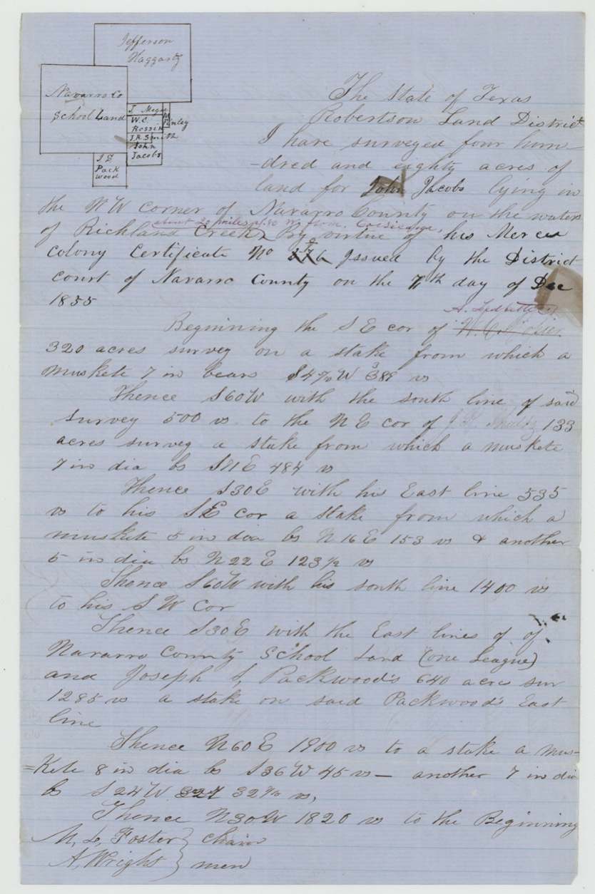
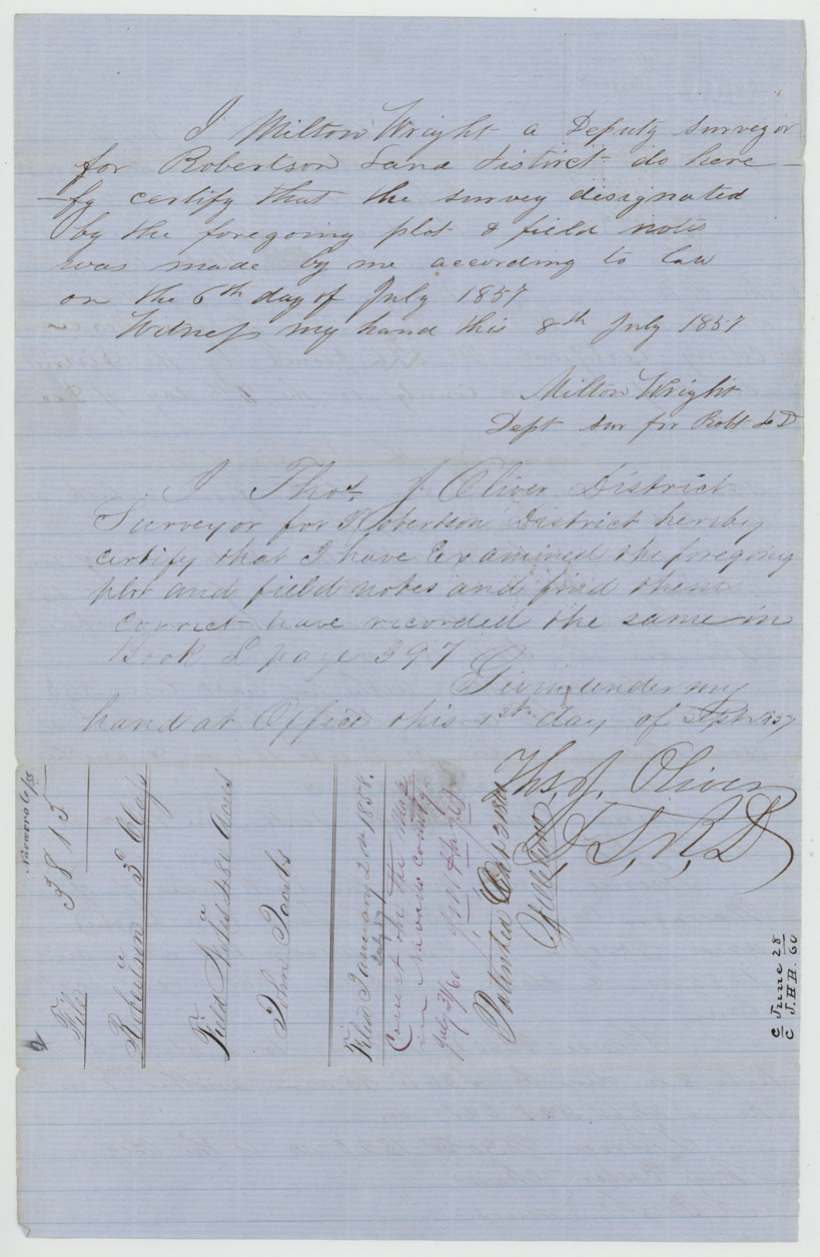
1857-07-06 (certified 1857-07-08), Milton Wright, Deputy Surveyor, Robertson Land District.
NW corner of Navarro County on the waters of Richland Creek, 'about 20 miles N 50 W from Corsicana' (interlined)
Chain carriers: M. L. Foster, A. Wright.
Book L, page 397 (1 Sept 1857)
The patent
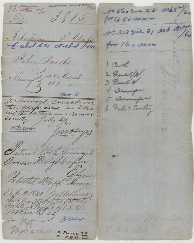
3 Oct 1860, No. 560 Vol. 25 (480 acres, Navarro) and No. 313 Vol. 31 (160 acres, Ellis), to Arvin Wright, assignee, delivered to A. Wright, Apr 8, 1862(?).
Also in the file
- John Jacobs sold his 640-acre colony certificate for $250 on the very day the court granted it.
- The certificate number is written oddly ('0/7'); the Navarro field notes give a different number that was crossed out, and Arvin Wright's entry gives yet another (576?).
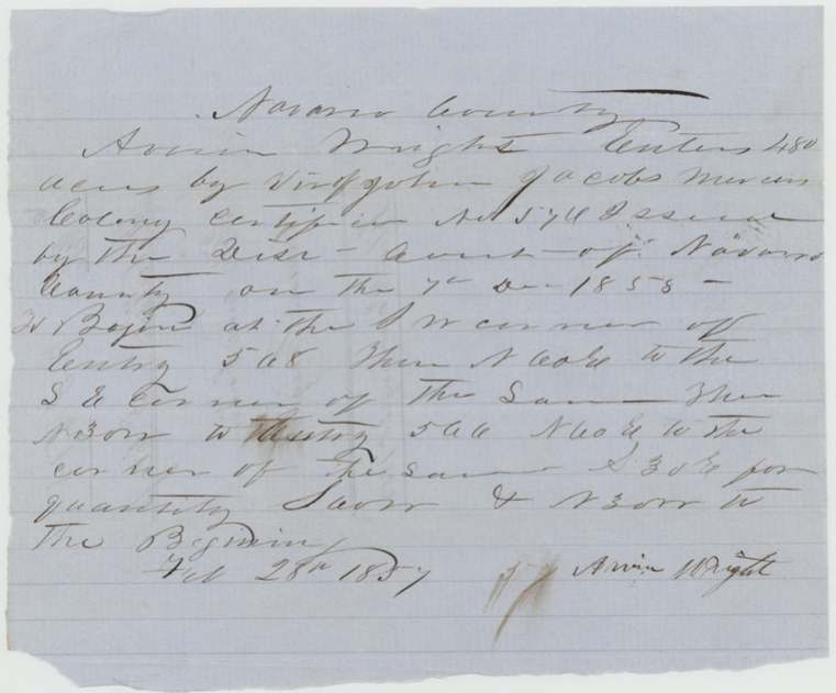
- Arvin Wright's entry dates the certificate 7 Dec 1858, a slip for 1855.
- Henderson's sale to Arvin Wright is dated March 1856 but was not acknowledged before a notary until August 1860, just before the patents issued.
- One certificate produced land in two counties: 160 acres near Waxahachie in Ellis County and 480 acres in the northwest corner of Navarro County.
- Several Wrights appear: Milton Wright surveyed the Navarro tract, A. Wright carried chain on it, John Wright carried chain on the Ellis tract, and Arvin Wright got the patents.
Timeline
- 7 Dec 1855Navarro District Court grants John Jacobs a 640-acre Mercer's Colony certificate
- 7 Dec 1855Jacobs sells the certificate to William F. Henderson for $250
- 23 Feb 1856Posey H. Gordon surveys 160 acres near Waxahachie, Ellis County
- 19 Mar 1856Henderson sells the certificate to Arvin Wright for $300
- 28 Feb 1857Arvin Wright files entry for 480 acres in Navarro County
- 6 Jul 1857Milton Wright surveys the 480 acres on Richland Creek waters, NW Navarro County
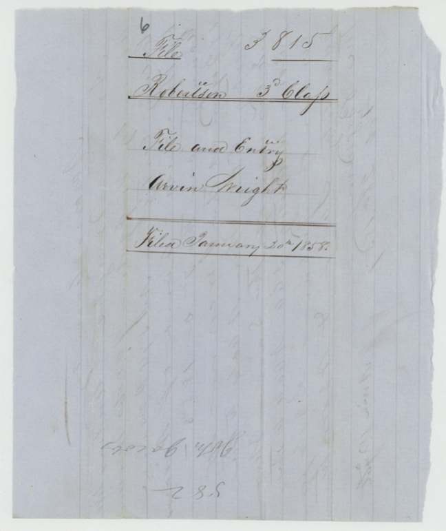
- 20 Jan 1858Papers filed in the General Land Office
- 31 Jul 1860Both surveys checked correct on the county maps
- 18 Aug 1860Henderson acknowledges his 1856 transfer before a Corsicana notary
- 3 Oct 1860Both surveys patented to Arvin Wright
- 8 Apr 1862Patents forwarded to A. Wright (date reading uncertain)
The papers in the file
Every page of the Land Office file, in the order the Land Office keeps them (13 pages). Tap a page to see it larger.
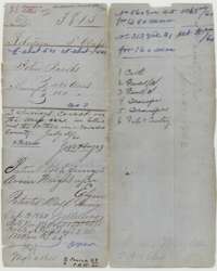 File jacketFile jacket for John Jacobs' Mercer's Colony certificate, listing the Ellis and Navarro County surveys and the patents of 3 October 1860 to Arvin Wright.General Land Office, file 3815, page 1 · in the scan
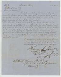 CertificateMercer's Colony certificate for 640 acres granted to John Jacobs by the Navarro County District Court, 7 December 1855.General Land Office, file 3815, page 2 · in the scan
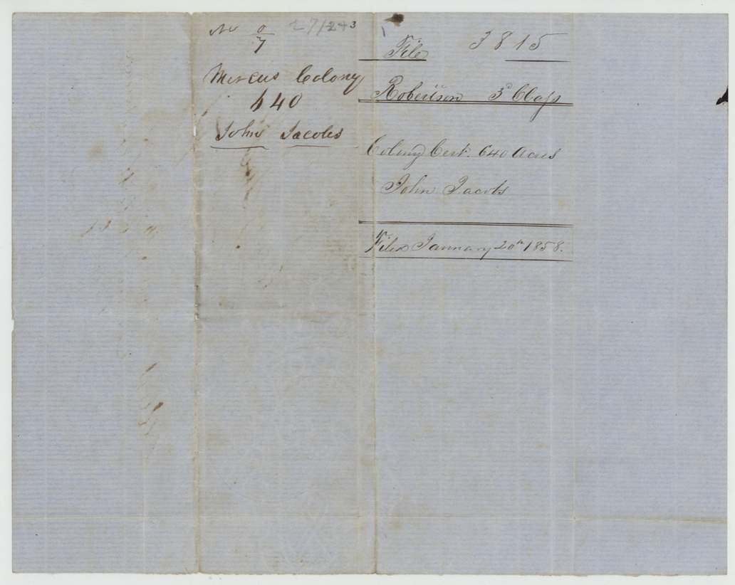
 WrapperBack of the certificate, with the file docket and the Land Office filing note of 20 January 1858.General Land Office, file 3815, page 3 · in the scan
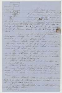 Field notesField notes for 480 acres on Richland Creek in northwest Navarro County, surveyed for John Jacobs by deputy surveyor Milton Wright, 6 July 1857, with a small plat.General Land Office, file 3815, page 4 · in the scan
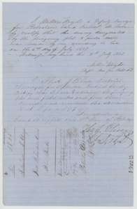 Surveyor's certificateEnd of the Navarro field notes, with surveyor Wright's certificate of 8 July 1857 and the district surveyor's certificate.General Land Office, file 3815, page 5 · in the scan
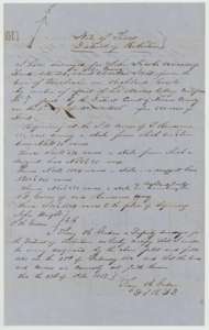 Field notesField notes for 160 acres in Ellis County on Richland Creek, surveyed for John Jacobs by deputy surveyor Posey H. Gordon, 23 February 1856.General Land Office, file 3815, page 6 · in the scan
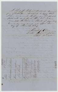 Surveyor's certificateDistrict surveyor's certificate of March 1857 that the Ellis County plat and field notes were examined and recorded in Book L, page 284, with a file docket.General Land Office, file 3815, page 7 · in the scan
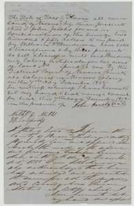 TransferTransfer from John Jacobs to William F. Henderson of his 640-acre Mercer's Colony certificate for $250, 7 December 1855, with notary's acknowledgment.General Land Office, file 3815, page 8 · in the scan
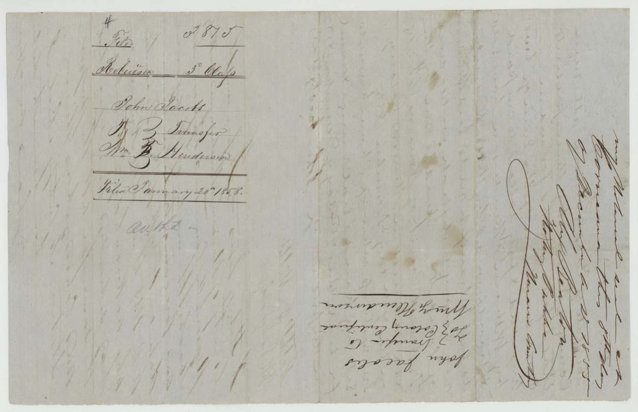
 WrapperBack of the Jacobs transfer, with the docket and the Land Office filing note of 20 January 1858.General Land Office, file 3815, page 9 · in the scan
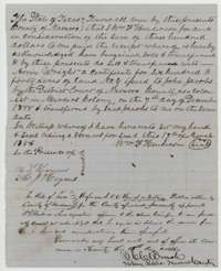 TransferTransfer from William F. Henderson to Arvin Wright of the 640-acre certificate for $300, 19 March 1856, with a notary's acknowledgment.General Land Office, file 3815, page 10 · in the scan
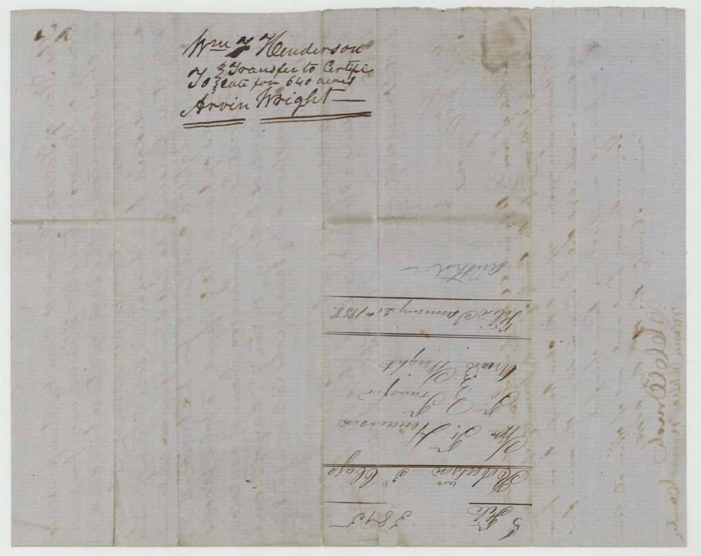
 WrapperBack of the Henderson transfer, with the docket naming William F. Henderson and Arvin Wright.General Land Office, file 3815, page 11 · in the scan
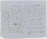 Other papersArvin Wright's entry of 28 February 1857 for 480 acres in Navarro County on John Jacobs' Mercer's Colony certificate.General Land Office, file 3815, page 12 · in the scan
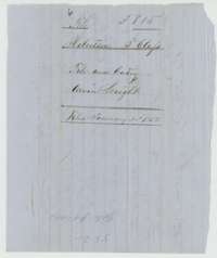 WrapperWrapper for the file and entry of Arvin Wright, with the Land Office filing note of 20 January 1858.General Land Office, file 3815, page 13 · in the scan
Scans courtesy of the Texas General Land Office, Austin, from its Land Grant Database.
Neighbouring surveys
Sources
- Texas General Land Office, Land Grant Database: Navarro County, Abstract 441
- The Land Office file, scanned (PDF, at the General Land Office)
- 1924 map: courtesy of the Texas General Land Office, Austin, Map 73249, used under licence. Topo: U.S. Geological Survey, The National Map. Aerial photographs: U.S. Department of Agriculture, National Agriculture Imagery Program, 2012, 2018 and 2022. Survey outlines: Railroad Commission of Texas, Original Texas Land Survey. Grant records and files: Texas General Land Office.