Blackland TX · ← All the original surveys
Thomas Harlow Survey, Abstract 348
- Granted to
- Thomas Harlow
- Kind of grant
- Headright, second classLand for settlers who came between independence and 1 October 1837.
- Land Office file
- Robertson 2nd class, file 599
- Certificate
- No. 509
- Acres
- 558
- Patented to
- Thomas Harlow
- Patent
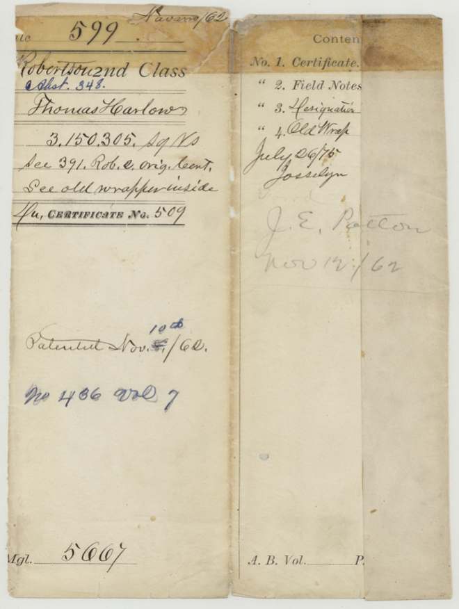
- 10 Nov 1862 · No. 436, Vol. 7
Tap a survey to open its page.
What the file shows
Thomas Harlow received a second-class headright of one-third of a league from the Red River County board in October 1842, and most of it was patented elsewhere. In July 1859 the Commissioner of Claims issued him certificate No. 509 for the unused balance of 3,150,305 square varas. James E. Patton filed on it at Corsicana in June 1860 and County Surveyor J. M. Eliot surveyed it that September on Mill Creek, about 19 miles west of Corsicana. The tract overlapped K. Bryan's survey, but Bryan's claim had been patented elsewhere, so the patent issued to Harlow in November 1862 and was delivered to Patton.
The certificate
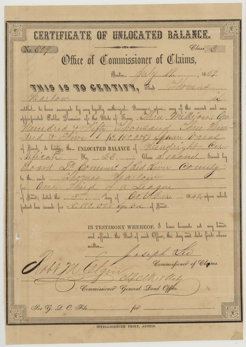
headright 2nd class (certificate of unlocated balance), No. 509 (unlocated-balance certificate); original headright certificate No. 23, 2nd class, 3,150,305 sq. varas (about 558 acres), the unlocated balance of one-third of a league, Office of Commissioner of Claims, Austin — signed Joseph Lee, Commissioner of Claims; countersigned Robt. M. Elgin, Chief Clerk and acting Commissioner, General Land Office. Original certificate by the Board of Land Commissioners of Red River County, Austin (unlocated-balance certificate); Red River County (original), 1859-07-19 (unlocated balance); original certificate dated 1842-10-03.
Unlocated balance of headright certificate No. 23, 2nd class, issued to Thomas Hearlow for one-third of a league, dated 3 October 1842, on which a patent had already issued for 5,183,028 sq. varas
The survey
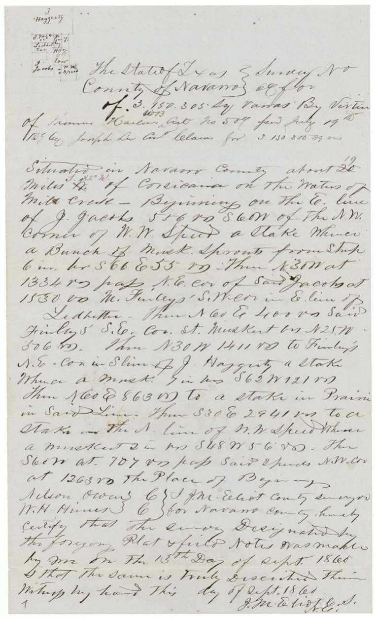
13 Sep 1860, J. M. Eliot (Elliot), County Surveyor of Navarro County.
Navarro County about 19 miles S 82 W of Corsicana (first written 20 miles N) on the waters of Mill Creek
Chain carriers: Nelson Owens, W. H. Hines(?).
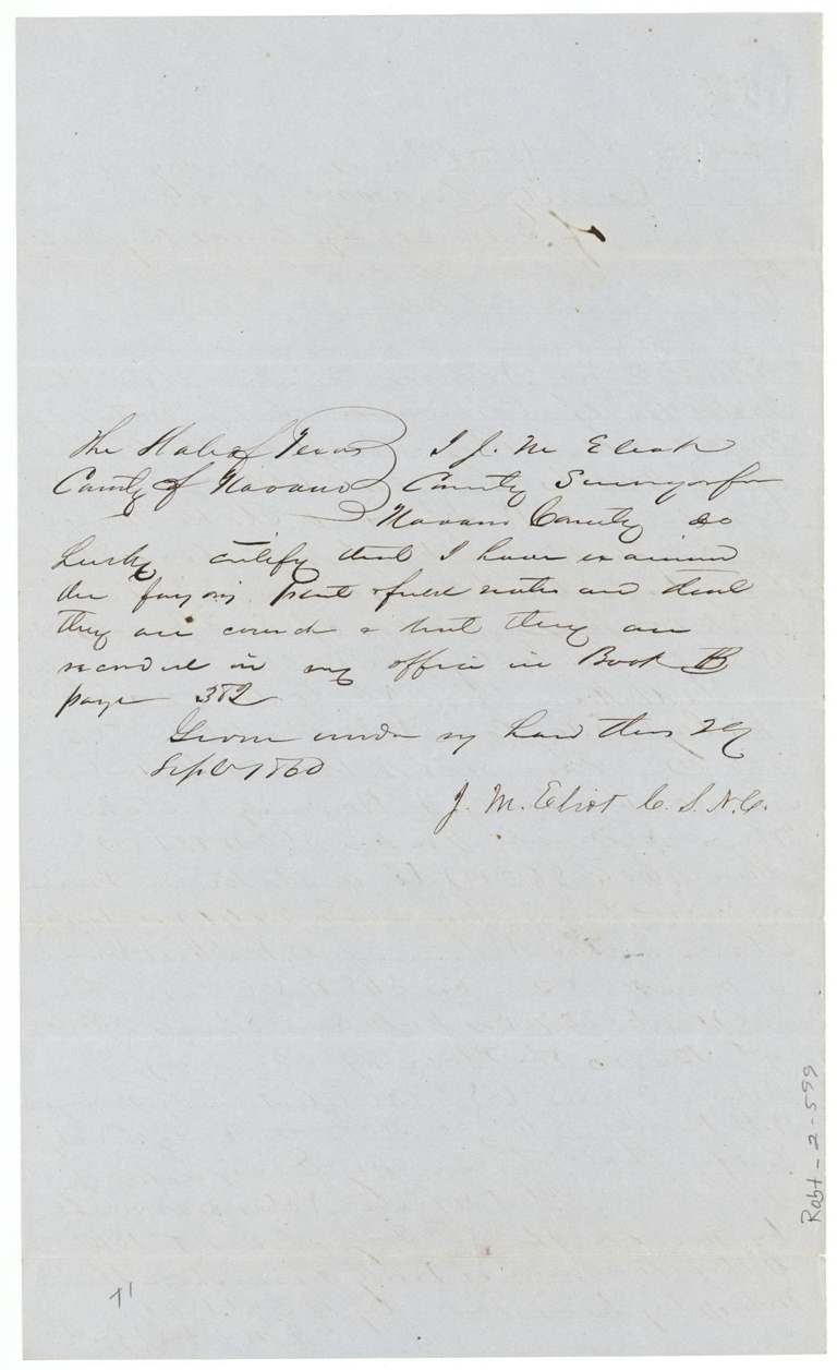
Book B, page 382
The patent
1862-11-08 (inner wrapper and old wrapper); outer wrapper shows 'Nov. 8' altered to '10th/62', No. 486, Vol. 7, to Thomas Harlow, delivered to J. E. Patton, Nov 12/62.
Also in the file
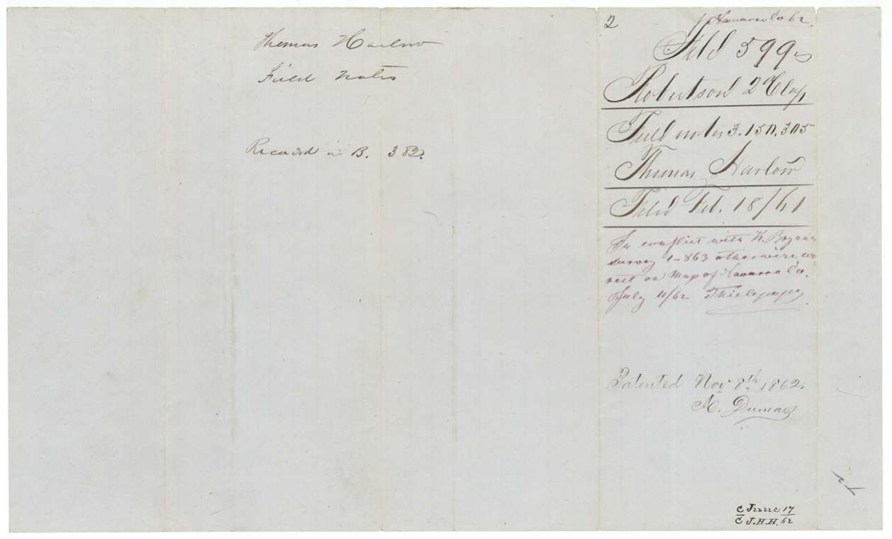
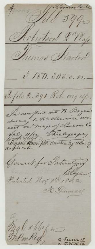
- The survey overlapped an earlier survey for K. Bryan (file 1-863). The land office let Harlow's patent go ahead after noting that Bryan's claim had been patented somewhere else on a duplicate certificate.
- Harlow's one-third league headright from Red River County was mostly patented elsewhere; this Navarro tract was only the unused balance, issued 17 years after the original certificate.
- The entry was made by James E. Patton, apparently acting for Harlow, and the patent was delivered to Patton.
- The surveyor first wrote '20 miles N of Corsicana' and corrected it to '19 miles S 82 W'.
Timeline
- 3 Oct 1842Headright certificate No. 23, 2nd class, one-third league, issued to Thomas Harlow by Red River County board
- 19 Jul 1859Certificate of unlocated balance No. 509 for 3,150,305 sq. varas issued at Austin
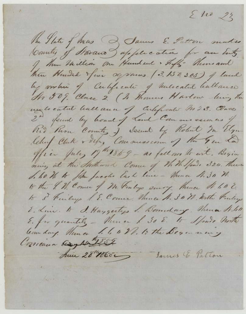
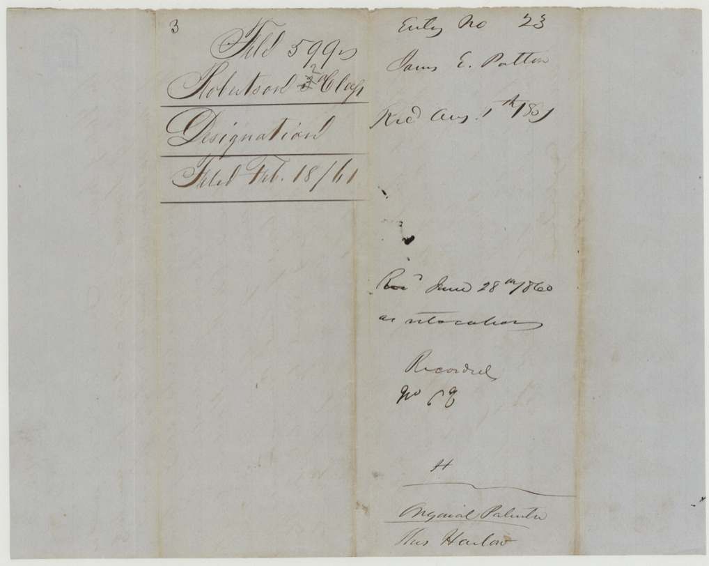
- 28 Jun 1860James E. Patton files entry/designation No. 23 at Corsicana
- 13 Sep 1860Surveyed by J. M. Eliot on Mill Creek, ~19 miles W of Corsicana
- Sep 1860Field notes recorded in Book B p. 382
- 18 Feb 1861Papers filed in the General Land Office
- 11 Jul 1862Mapped by Thielepape; conflict with K. Bryan survey noted
- 8 Nov 1862Patent No. 486 Vol. 7 to Thomas Harlow (wrapper alteration suggests Nov 10)
- 12 Nov 1862Patent delivered to J. E. Patton
The papers in the file
Every page of the Land Office file, in the order the Land Office keeps them (9 pages). Tap a page to see it larger.
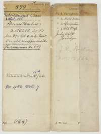 WrapperOuter wrapper for Thomas Harlow's file of 3,150,305 square varas, listing the papers inside, with the patent entry of November 1862.General Land Office, file 599, page 1 · in the scan
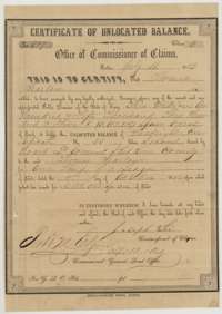 CertificateCertificate of unlocated balance No. 509 for 3,150,305 square varas, issued at Austin on 19 July 1859 to Thomas Harlow from his one-third league headright.General Land Office, file 599, page 2 · in the scan
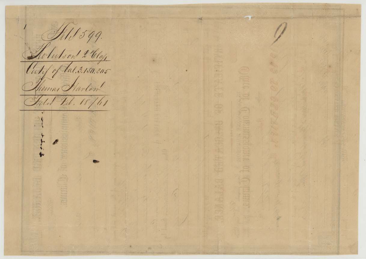
 Back of the certificateJacket and back of the certificate of unlocated balance, marked filed 18 February 1861.General Land Office, file 599, page 3 · in the scan
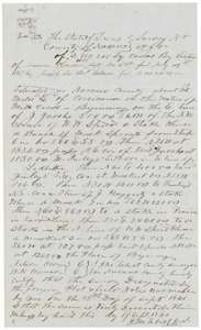 Field notesField notes for 3,150,305 square varas on Mill Creek, surveyed for Thomas Harlow by county surveyor J. M. Eliot on 13 September 1860.General Land Office, file 599, page 4 · in the scan
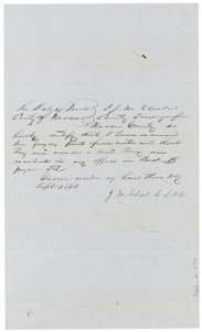 Surveyor's certificateCounty surveyor J. M. Eliot certifies in September 1860 that the field notes are correct and recorded in Book B, page 382.General Land Office, file 599, page 5 · in the scan
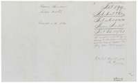 DocketBack of the field notes, with the docket for Thomas Harlow, a note on the conflict with an earlier survey, and the patent entry of 8 November 1862.General Land Office, file 599, page 6 · in the scan
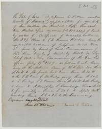 Other papersApplication to enter 3,150,305 square varas in Navarro County for Thomas Harlow, made by James E. Patton at Corsicana, 28 June 1860.General Land Office, file 599, page 7 · in the scan
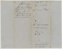 DocketJacket for the entry application on Thomas Harlow's certificate, marked received 28 June 1860.General Land Office, file 599, page 8 · in the scan
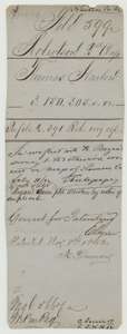 WrapperOlder wrapper for Thomas Harlow's file, noting the conflict with an earlier survey and the patent entry of 8 November 1862.General Land Office, file 599, page 9 · in the scan
Scans courtesy of the Texas General Land Office, Austin, from its Land Grant Database.
Neighbouring surveys
Sources
- Texas General Land Office, Land Grant Database: Navarro County, Abstract 348
- The Land Office file, scanned (PDF, at the General Land Office)
- 1924 map: courtesy of the Texas General Land Office, Austin, Map 73249, used under licence. Topo: U.S. Geological Survey, The National Map. Aerial photographs: U.S. Department of Agriculture, National Agriculture Imagery Program, 2012, 2018 and 2022. Survey outlines: Railroad Commission of Texas, Original Texas Land Survey. Grant records and files: Texas General Land Office.