Blackland TX · ← All the original surveys
Noah Kezzia Survey, Abstract 466
- Granted to
- Noah Kezzia
- Kind of grant
- Headright, third classLand for later settlers, including the colonists of Mercer’s Colony.
- Land Office file
- Robertson 3rd class, file 5061
- Certificate
- No. 278
- Acres
- 640
- Patented to
- Heirs of Noah Kezzia
- Patent
- 21 May 1888 · No. 235, Vol. 46
Tap a survey to open its page.
What the file shows
On 19 April 1850 John M. Crockett, Commissioner of Mercer's Colony, issued certificate No. 278 at Corsicana for 640 acres to the heirs of Noah Kezzia, who his children later said had died in 1846. James E. Patton entered it and County Surveyor J. M. Eliot surveyed it in 1860 on Mill Creek about 20 miles west of Corsicana, but that survey did not close and overlapped the Haggarty survey. In 1886 the land office found a transfer supposedly signed by Noah himself to Charles Parker in May 1850, and it was locked up as a forgery on evidence from R. L. Goodloe and Noah's children. After four more resurveys by L. Martin and Chas. E. Lee, made for Goodloe, the heirs and buyer B. F. Barry, the patent issued to the heirs of Noah Kezzia on 21 May 1888 and was apparently delivered to Barry.
The certificate
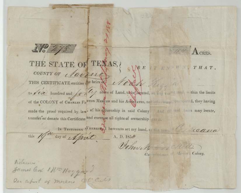
other (Mercer's Colony colonist certificate to heirs; filed as Robertson 3rd class), No. 278, 640 acres, John M. Crockett, Commissioner of Mercer's Colony, Town of Corsicana, Navarro County, 19 Apr 1850.
Printed Mercer's Colony form: entitles the heirs of Noah Kezzia to 640 acres within the limits of the Colony of Charles Fenton Mercer and his Associates, they having made the proof required by law of his citizenship in the colony
Changes of hand
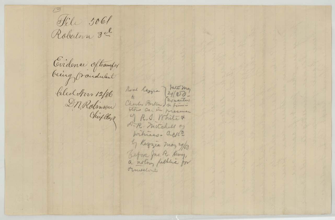
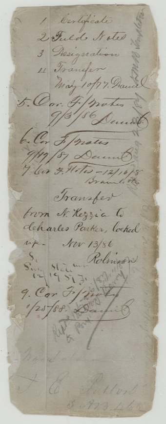
- 29 May 1850Noah Kezzia (as stated in a transfer no longer in the scanned file) → Charles Parker, unknown, Limestone County. Described only in a clerk's note; the land office marked it 'transfer locked up — forgery' (Nov 13/86) after the family showed Noah died in 1846. The certificate itself was issued to his heirs.
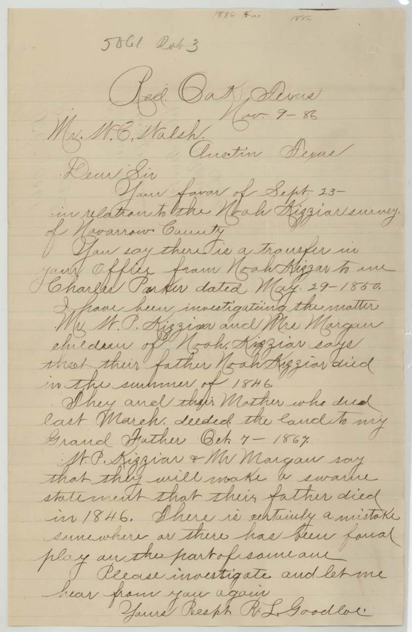
- 7 Oct 1867Heirs of Noah Kezzia (his children and their mother) → R. L. Goodloe's grandfather (Patton per the Barry affidavit), not stated, not stated. Stated in R. L. Goodloe's letter of 9 Nov 1886; deed not in file.
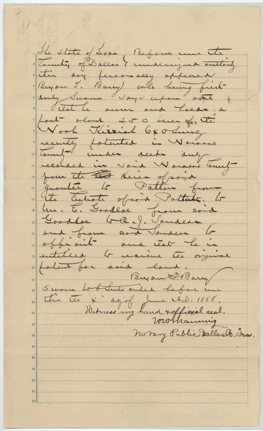
- before 1888-06-04Heirs of Noah Kezzia → Patton → estate of Patton → Wm. E. Goodloe → R. J. Sanders(?) → Byron F. Barry → Byron F. Barry, not stated, Navarro County (deeds recorded there). Barry swore he owned and held about 550(?) acres of the Noah Kizziah 640 survey and was entitled to receive the original patent.
The survey
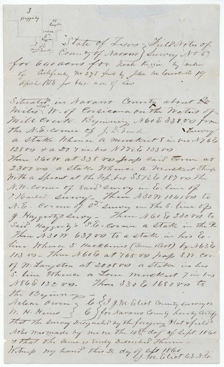
1860-09-13 (certified 1860-09-29), J. M. Eliot, County Surveyor, Navarro County.
Navarro County about 20 miles S 86 W of Corsicana on the waters of Mill Creek
Chain carriers: Nelson Owen, W. H. Hines.
Book B, page 381
The survey
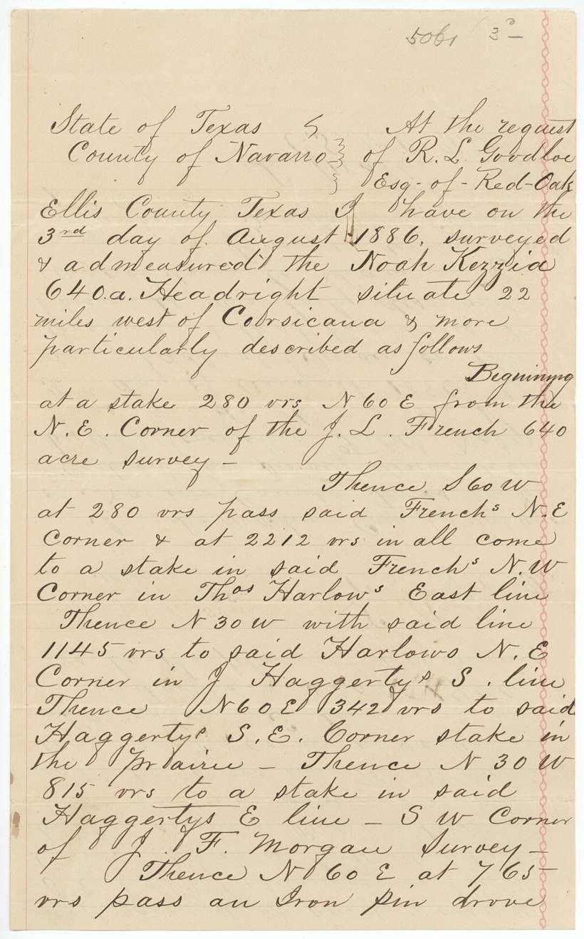
1886-08-03 (certified 1886-08-05), L. Martin, County Surveyor, Navarro County.
22 miles west of Corsicana
Chain carriers: Mitchell, Toller.
Book C, page 237
The survey
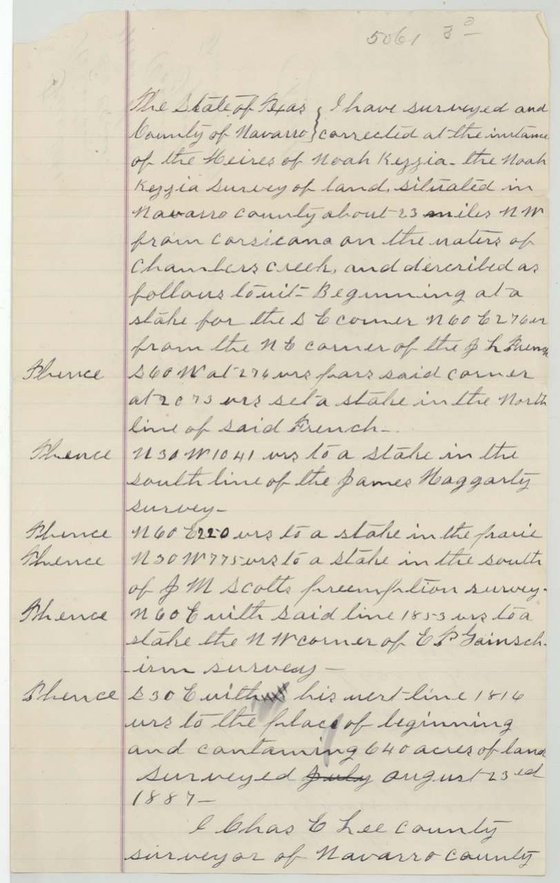
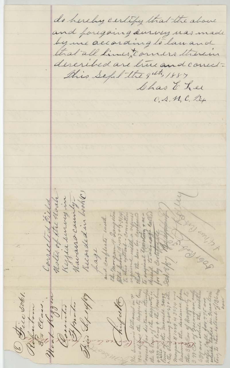
1887-08-23 (certified 1887-09-09), Chas. E. Lee, County Surveyor, Navarro County.
about 23 miles NW [sic] from Corsicana on the waters of Chambers Creek
Book C (page blank)
The survey
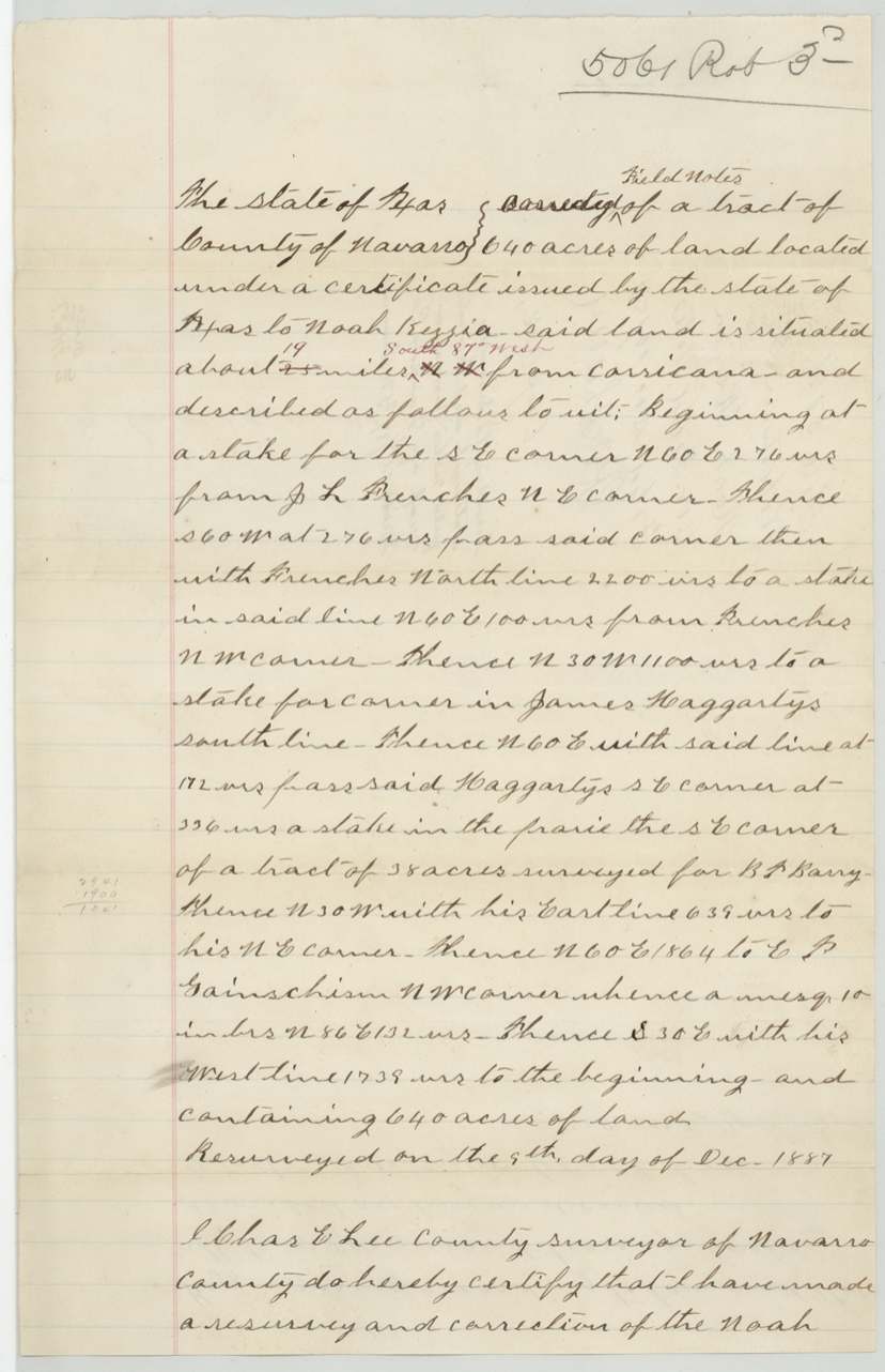
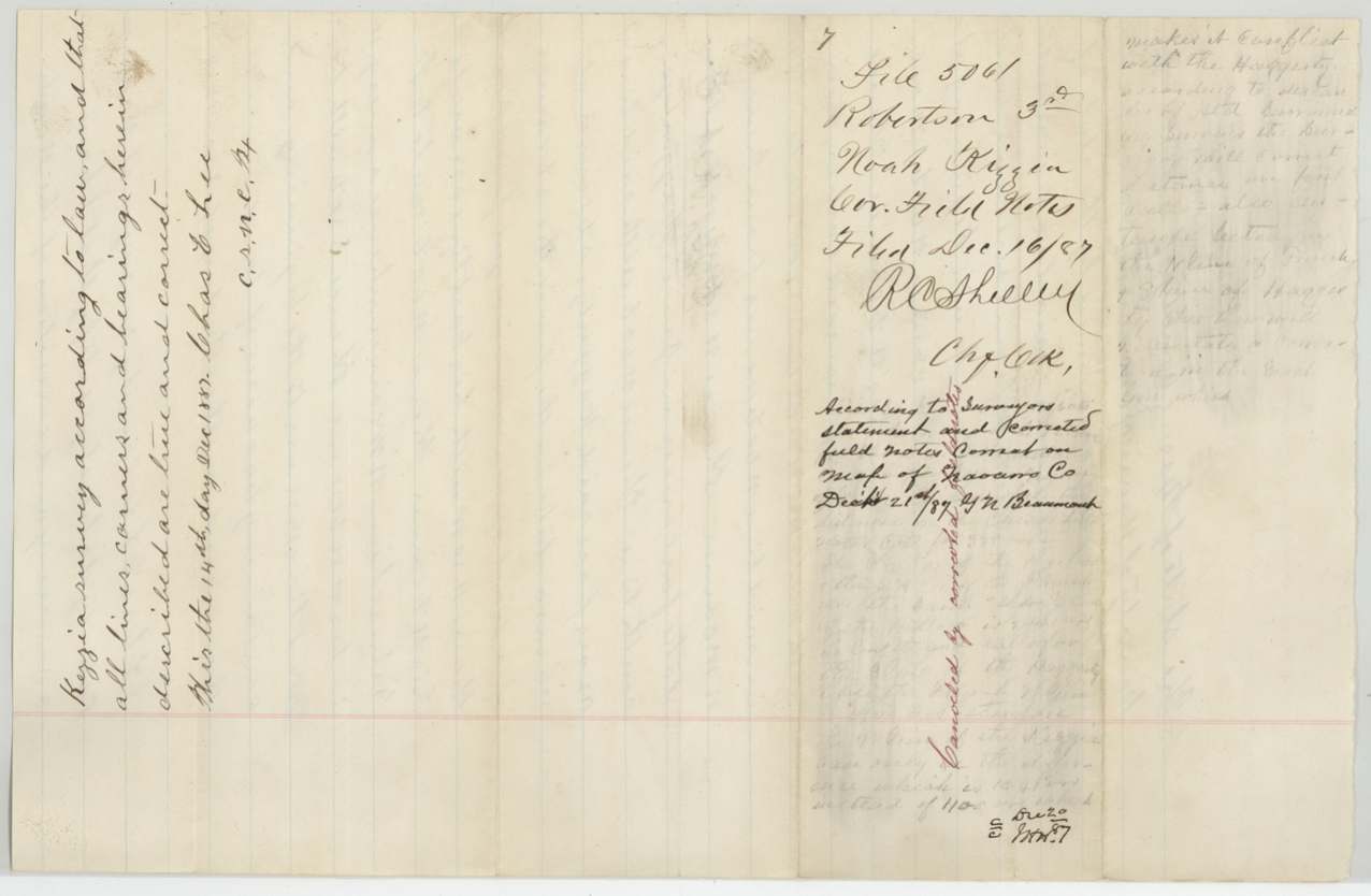
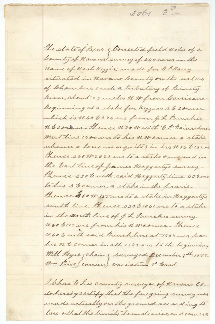
1887-12-09 (certified 1887-12-14), Chas. E. Lee, County Surveyor.
about 19 miles S 87 W from Corsicana (altered from 23 miles NW), waters of Chambers Creek, a tributary of the Trinity
Chain carriers: Will Hyre(?), Wm. Price.
Book C, page 282 (certified 1888-01-23)
The survey
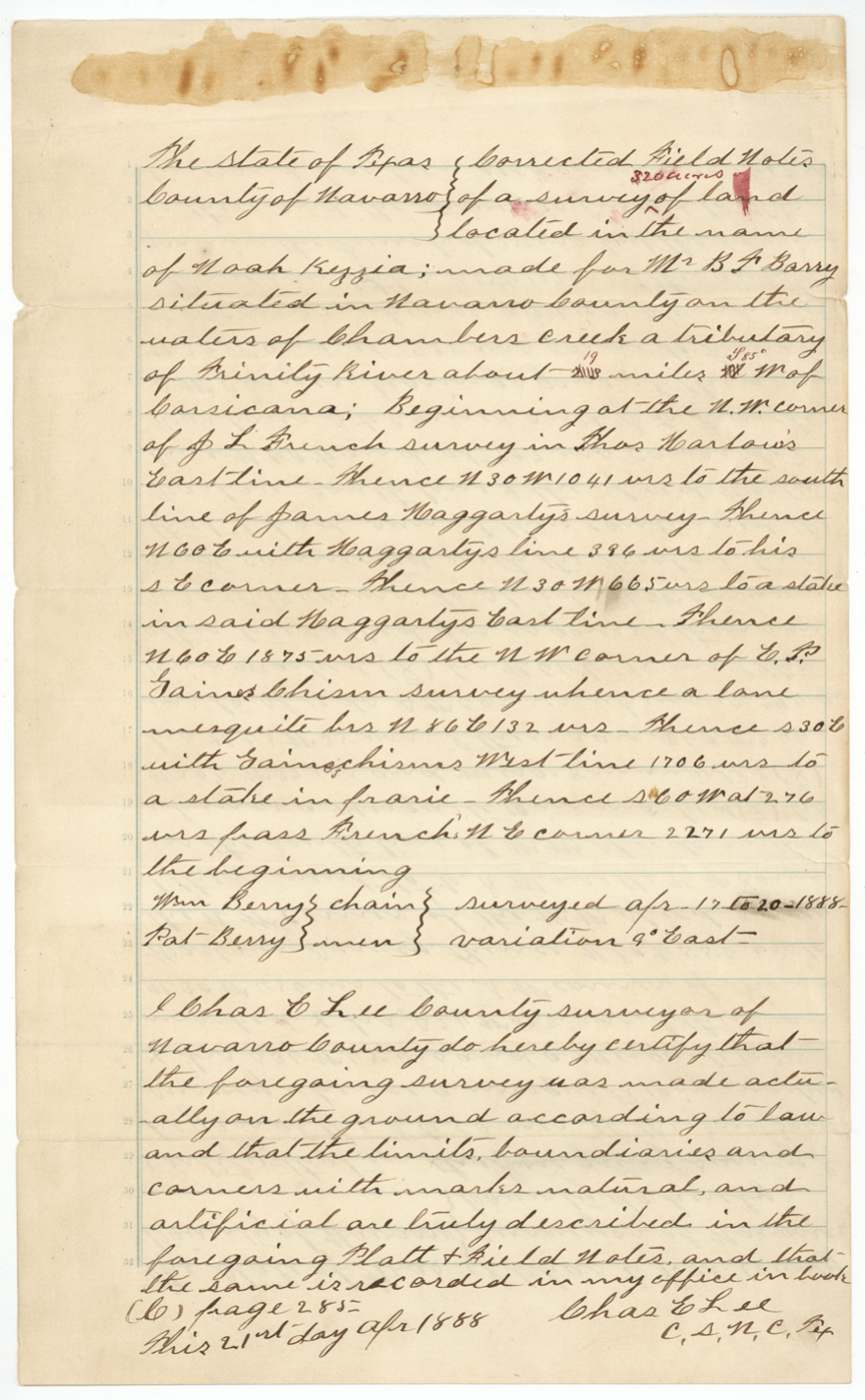
1888-04-17 to 1888-04-20 (certified 1888-04-21), Chas. E. Lee, County Surveyor.
about 19 miles S 85 W of Corsicana on the waters of Chambers Creek
Chain carriers: Wm. Berry, Pat Berry.
Book C, page 285
The patent
21 May 1888, No. 235, Vol. 6 (Ab. vol. 12), to Heirs of Noah Kezzia, deceased, delivered to B. F. Barry, June 5/88 (reading).
Also in the file
- Forgery: the land office held a transfer supposedly signed by Noah Kezzia to Charles Parker on 29 May 1850 — but his children said he had died in summer 1846, and the 1850 certificate itself was issued to his heirs. The transfer was 'locked up' as a forgery in November 1886.
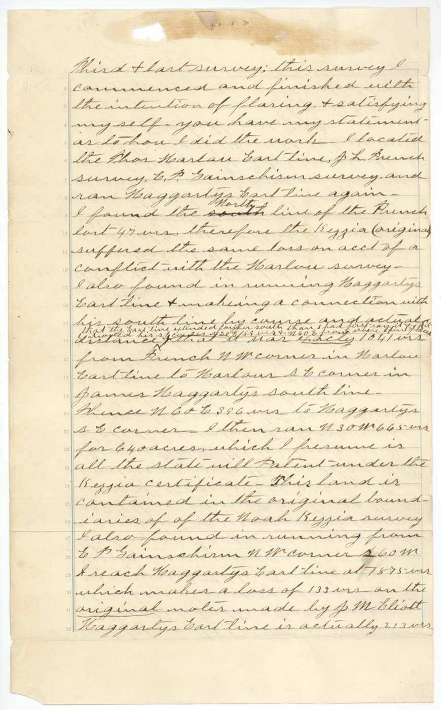
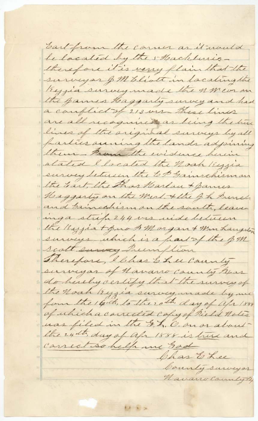
- The 1860 survey was found not to close and to overlap the Haggarty survey by 213 varas; it took four more surveys (1886, 1887 twice, 1888) to fix the tract before the patent issued.
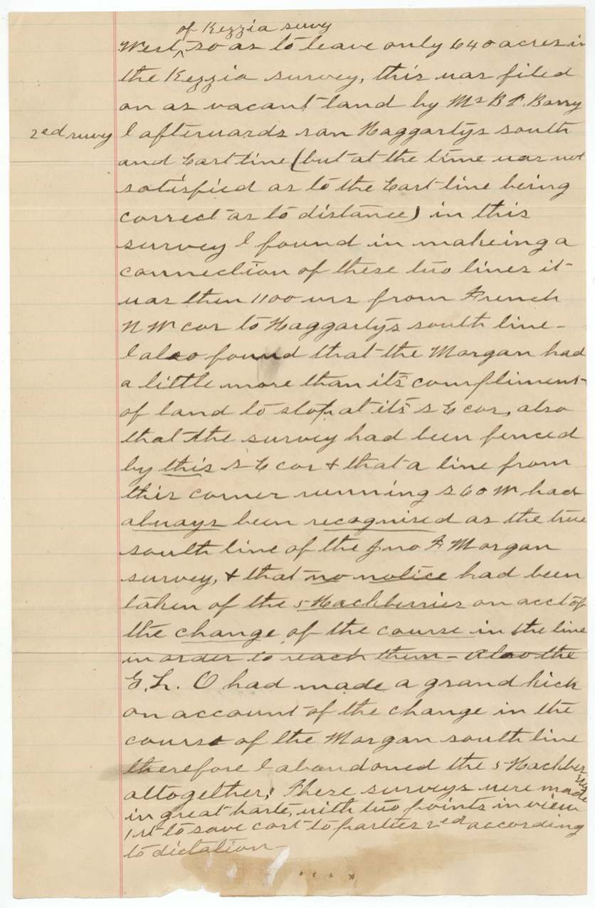
- The county surveyor openly admitted his early resurveys were made 'in great haste ... to save cost to parties ... and according to dictation', and that the land office had 'made a grand kick' about them.
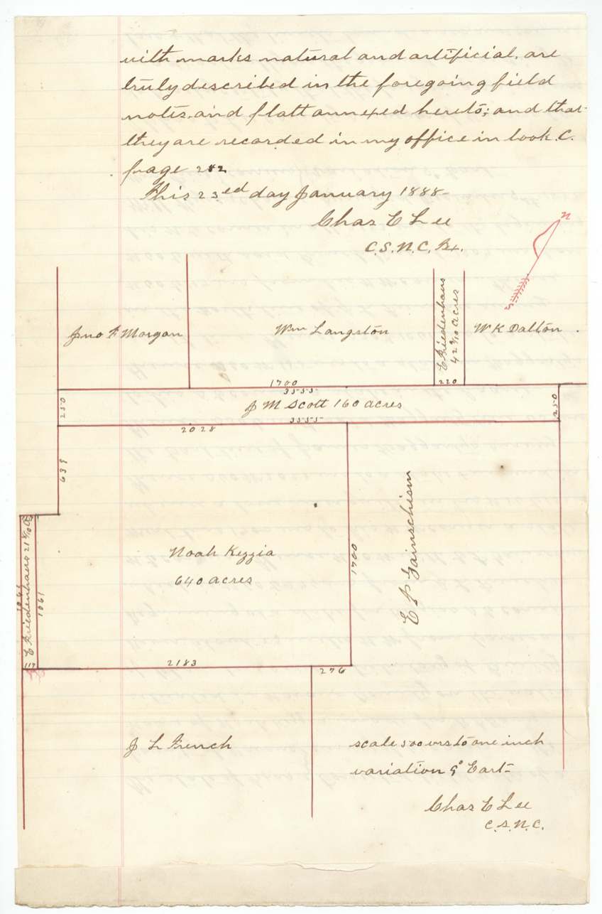
- Leftover slivers around the tract were taken up as vacant land by others: B. F. Barry (38 acres), E. Friedenhaus (21.7 and 42.1 acres) and the J. M. Scott preemption.
- Descriptions of the location swing from '20 miles west on Mill Creek' (1860) to '23 miles NW on Chambers Creek' (1887) to '19 miles S 85 W' (1888) — the same land described very differently.
- Patent issued 38 years after the certificate, to the heirs, while the land had already passed through several buyers.
Timeline
- 1846 (summer)Noah Kezzia dies, according to his children
- 19 Apr 1850Mercer's Colony certificate No. 278 for 640 acres issued to the heirs of Noah Kezzia at Corsicana
- 29 May 1850Date of a purported transfer by Noah Kezzia to Charles Parker in Limestone County (later found fraudulent)
- 11 Aug 1859James E. Patton's entry No. 25 received
- 28 Jun 1860Entry refiled at Corsicana as a relocation
- 13 Sep 1860J. M. Eliot surveys 640 acres (Survey No. 67) on Mill Creek, about 20 miles W of Corsicana
- 18 Feb 1861Field notes filed in the land office
- 7 Oct 1867Kezzia heirs deed the land to R. L. Goodloe's grandfather
- 23 May 1877Land office finds the 1860 field notes do not close
- 3 Aug 1886L. Martin resurveys for R. L. Goodloe
- 9 Nov 1886Goodloe writes that Noah died in 1846 and alleges foul play
- 13 Nov 1886Parker transfer locked up as fraudulent
- 23 Aug 1887Chas. E. Lee surveys for the heirs; rejected for conflict
- 9 Dec 1887Lee resurveys for B. F. Barry
- 20 Apr 1888Final corrected survey completed by Lee
- 10 May 1888Checked correct on map of Navarro County
- 21 May 1888Patent No. 235 Vol. 6 to heirs of Noah Kezzia
- 4 Jun 1888Byron F. Barry swears he owns most of the survey
- 5 Jun 1888Patent delivered to B. F. Barry (reading)
The papers in the file
Every page of the Land Office file, in the order the Land Office keeps them (37 pages). Tap a page to see it larger.
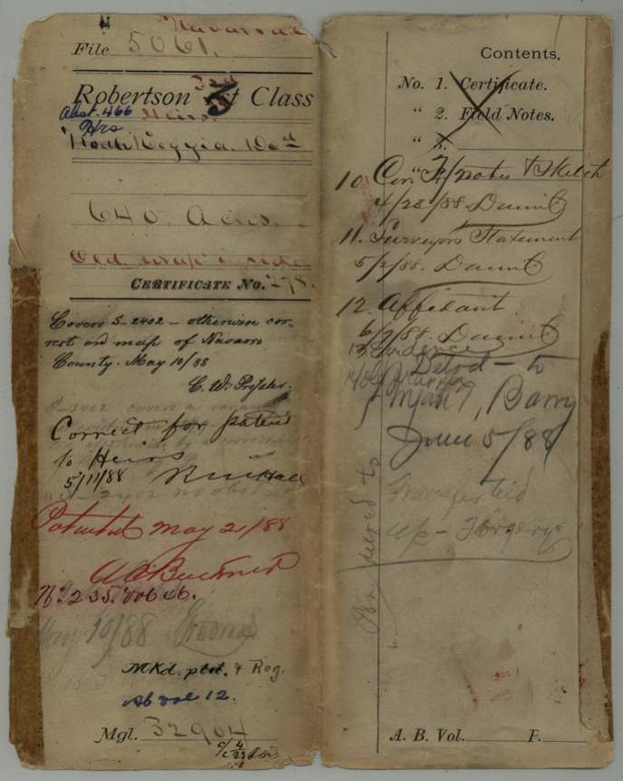
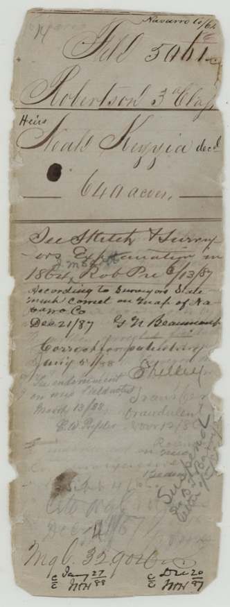
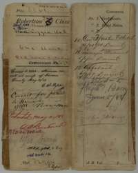 WrapperFile wrapper for the 640-acre Mercer's Colony certificate of the heirs of Noah Kezzia, listing its papers and marked patented 21 May 1888.General Land Office, file 5061, page 1 · in the scan
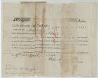 CertificateMercer's Colony certificate No. 278 for 640 acres to the heirs of Noah Kezzia, issued at Corsicana by commissioner John M. Crockett, 19 April 1850.General Land Office, file 5061, page 2 · in the scan
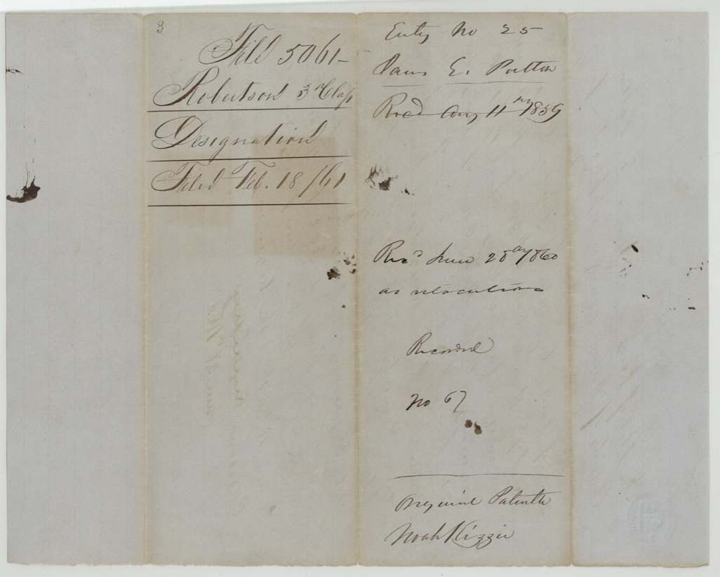
 Back of the certificateBack of the certificate, endorsed Heirs Noah Kezzia, 640 acres, with Land Office filing notes.General Land Office, file 5061, page 3 · in the scan
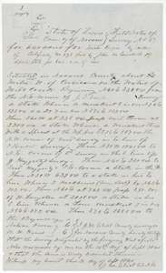 Field notesField notes for Survey No. 67, 640 acres on the waters of Mill Creek, surveyed for Noah Kezzia by county surveyor J. M. Eliot, 13 September 1860.General Land Office, file 5061, page 4 · in the scan
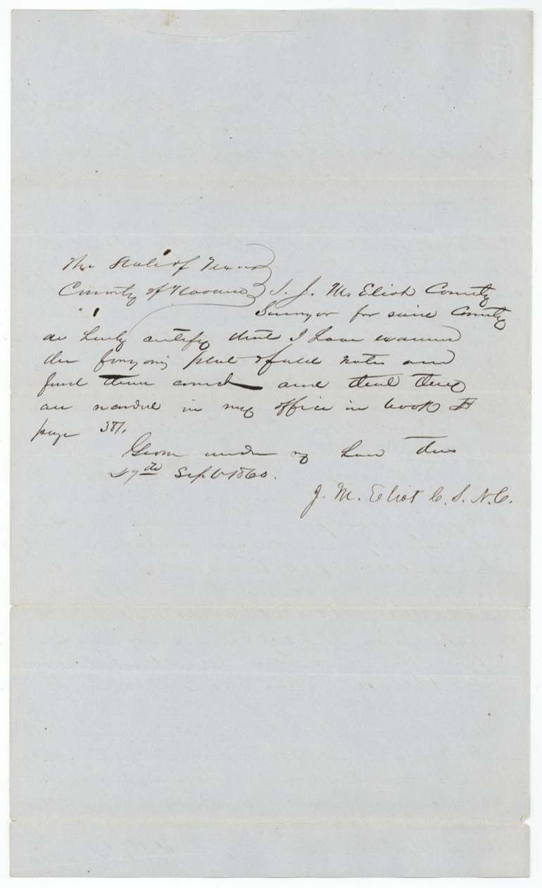
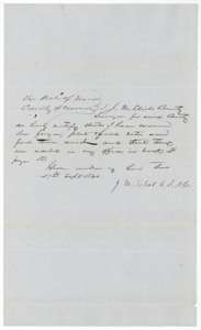 Surveyor's certificateCertificate of county surveyor J. M. Eliot, 27 September 1860, that the Kezzia field notes were recorded in Book B, page 381.General Land Office, file 5061, page 5 · in the scan
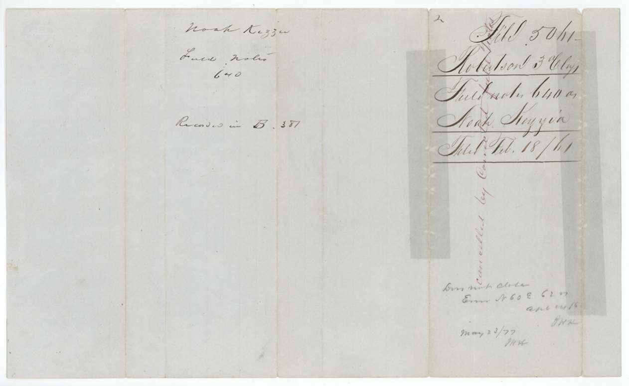
 WrapperField-notes jacket for Noah Kezzia, 640 acres, filed 18 February 1861, with a later note that the survey was cancelled by corrected field notes.General Land Office, file 5061, page 6 · in the scan
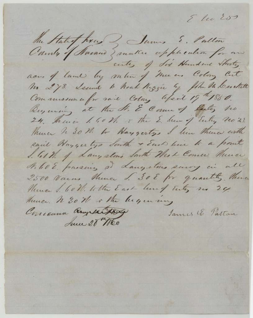
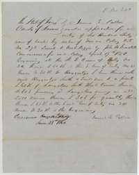 Other papersApplication of James E. Patton, 28 June 1860, to locate 640 acres on Noah Kezzia's Mercer's Colony certificate No. 278.General Land Office, file 5061, page 7 · in the scan
 WrapperJacket for the designation of land for Noah Kezzia, entry No. 25, recorded as No. 67.General Land Office, file 5061, page 8 · in the scan
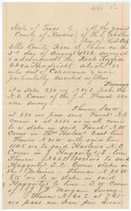 Field notesResurvey of the Noah Kezzia 640-acre headright made at the request of R. L. Goodloe by county surveyor L. Martin, 3 August 1886.General Land Office, file 5061, page 9 · in the scan
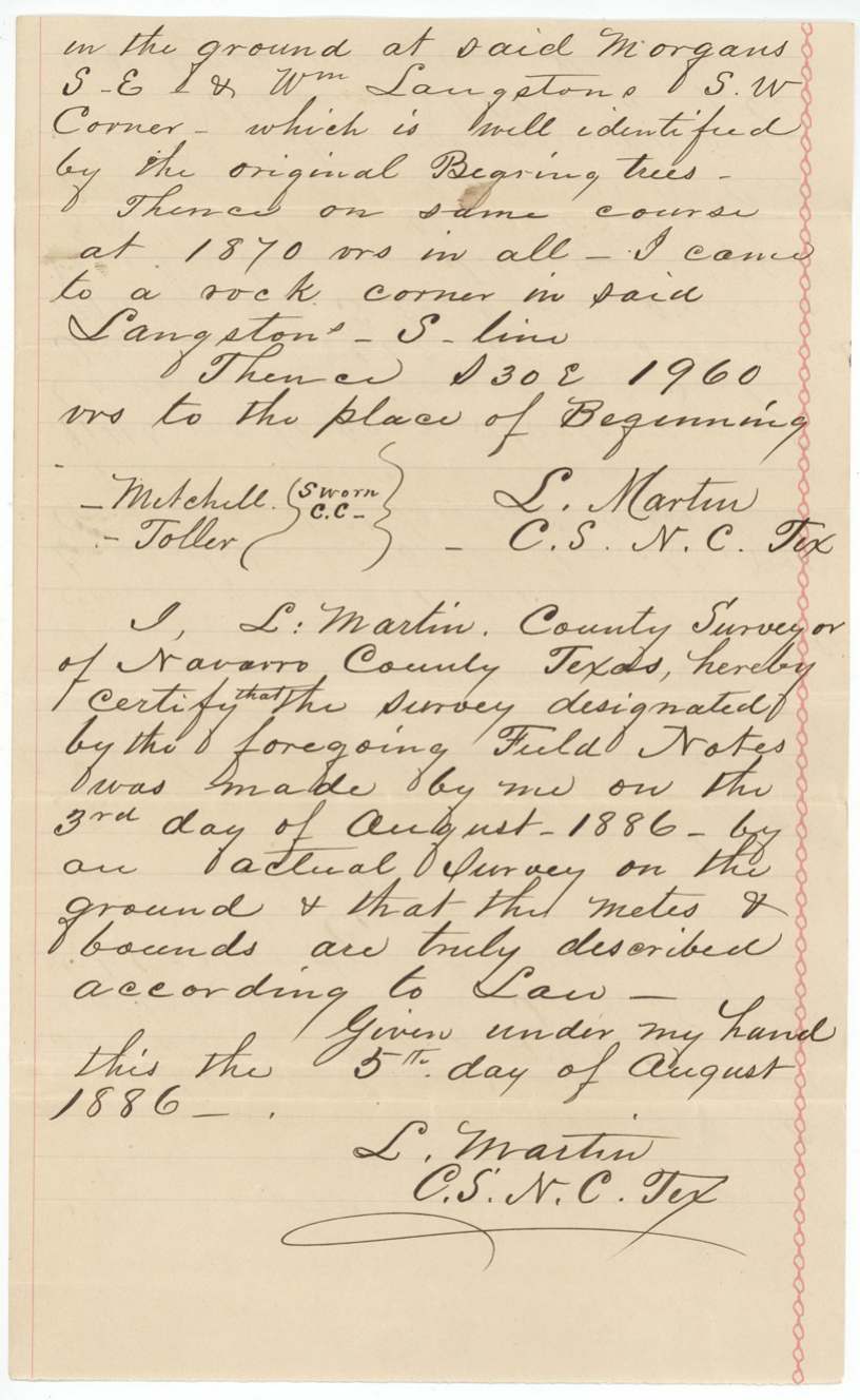
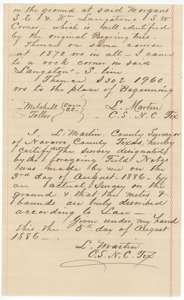 Surveyor's certificateClose of the 1886 resurvey, with county surveyor L. Martin's certificate of 5 August 1886.General Land Office, file 5061, page 10 · in the scan
 WrapperJacket for the Noah Kezzia survey, recorded in Book C, page 237, in the county surveyor's office at Corsicana.General Land Office, file 5061, page 11 · in the scan
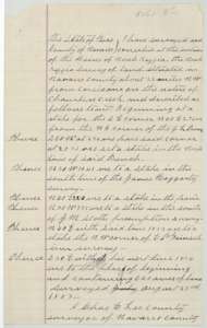 Field notesField notes for 640 acres on the waters of Chambers Creek, surveyed for the heirs of Noah Kezzia by county surveyor Chas. E. Lee, 23 August 1887.General Land Office, file 5061, page 12 · in the scan
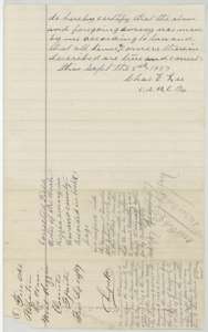 Surveyor's certificateCertificate of county surveyor Chas. E. Lee, 9 September 1887, that the Kezzia survey was made according to law.General Land Office, file 5061, page 13 · in the scan
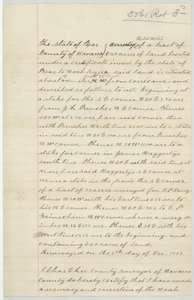 Field notesField notes of a resurvey of the Noah Kezzia 640 acres made for B. F. Barry by county surveyor Chas. E. Lee, 9 December 1887.General Land Office, file 5061, page 14 · in the scan
 Surveyor's certificateClose of the December 1887 resurvey, with a jacket marked filed 16 December 1887.General Land Office, file 5061, page 15 · in the scan
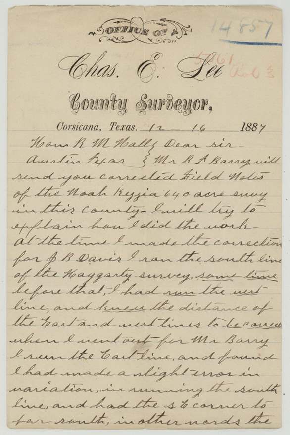
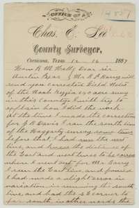 LetterLetter from county surveyor Chas. E. Lee at Corsicana, 16 December 1887, to the Land Commissioner explaining his correction of the Kezzia survey.General Land Office, file 5061, page 16 · in the scan
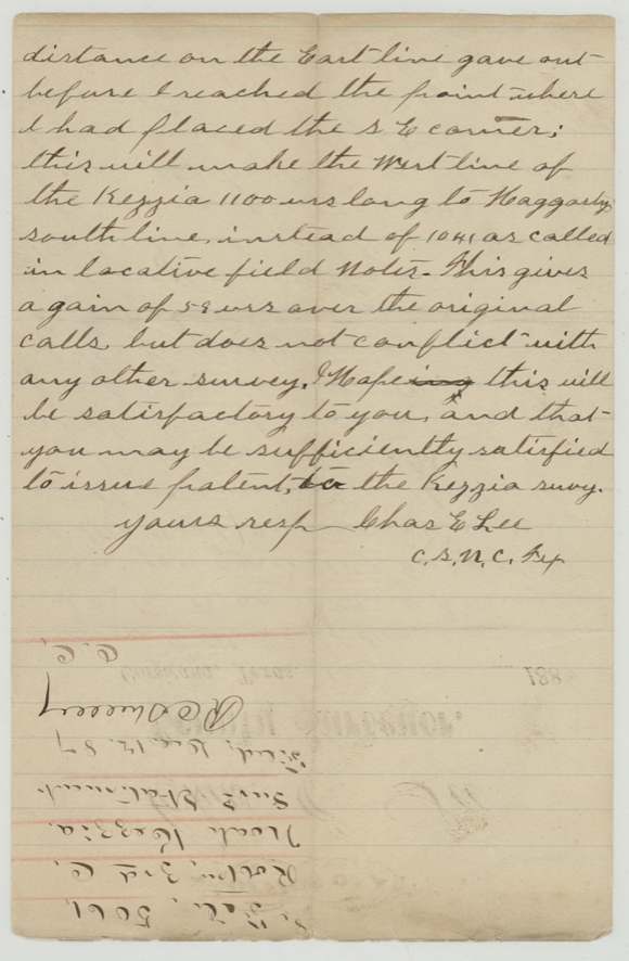
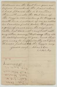 LetterContinuation of Chas. E. Lee's letter of 16 December 1887, explaining the change to the west line of the Kezzia survey.General Land Office, file 5061, page 17 · in the scan
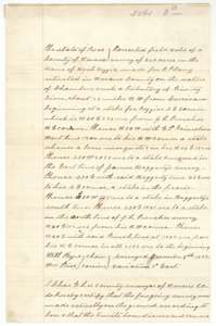 Field notesCorrected field notes for 640 acres in the name of Noah Kezzia, made for B. F. Barry by Chas. E. Lee from the 9 December 1887 resurvey.General Land Office, file 5061, page 18 · in the scan
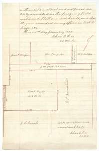 PlatCertificate of Chas. E. Lee, 23 January 1888, with a plat of the Noah Kezzia 640 acres and the surrounding surveys.General Land Office, file 5061, page 19 · in the scan
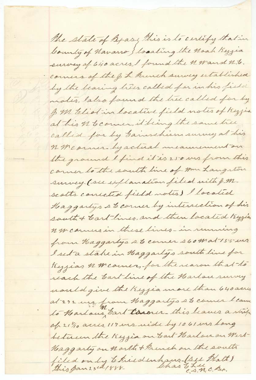
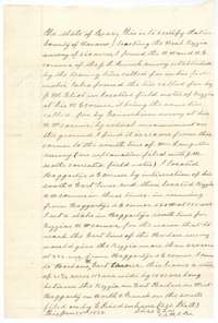 Surveyor's certificateCertificate of Chas. E. Lee, 23 January 1888, describing how he found the corners of the French survey and located the Kezzia northwest corner.General Land Office, file 5061, page 20 · in the scan
 WrapperJacket for the corrected field notes of the Noah Kezzia survey, filed 25 January 1888.General Land Office, file 5061, page 21 · in the scan
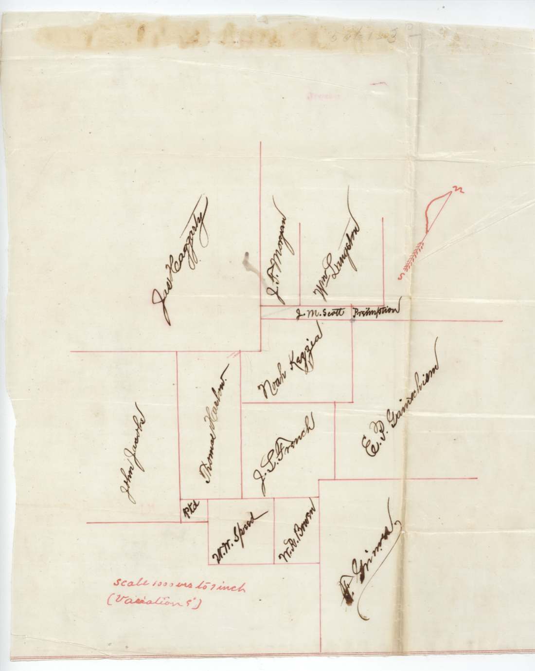
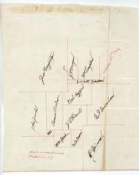 MapHand-drawn sketch of the surveys around the Noah Kezzia tract, naming Haggarty, Morgan, Langston, Scott, Harlow, French, Speed, Brown and Grimes.General Land Office, file 5061, page 22 · in the scan
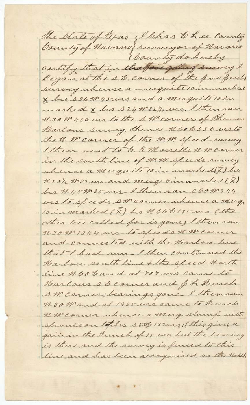
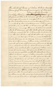 Surveyor's certificateCertificate of county surveyor Chas. E. Lee describing how he retraced the lines of the neighbouring surveys to locate the Kezzia tract.General Land Office, file 5061, page 23 · in the scan
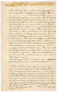 Field notesCorrected field notes for the Noah Kezzia survey made for B. F. Barry by Chas. E. Lee, surveyed 17 to 20 April 1888 on the waters of Chambers Creek.General Land Office, file 5061, page 24 · in the scan
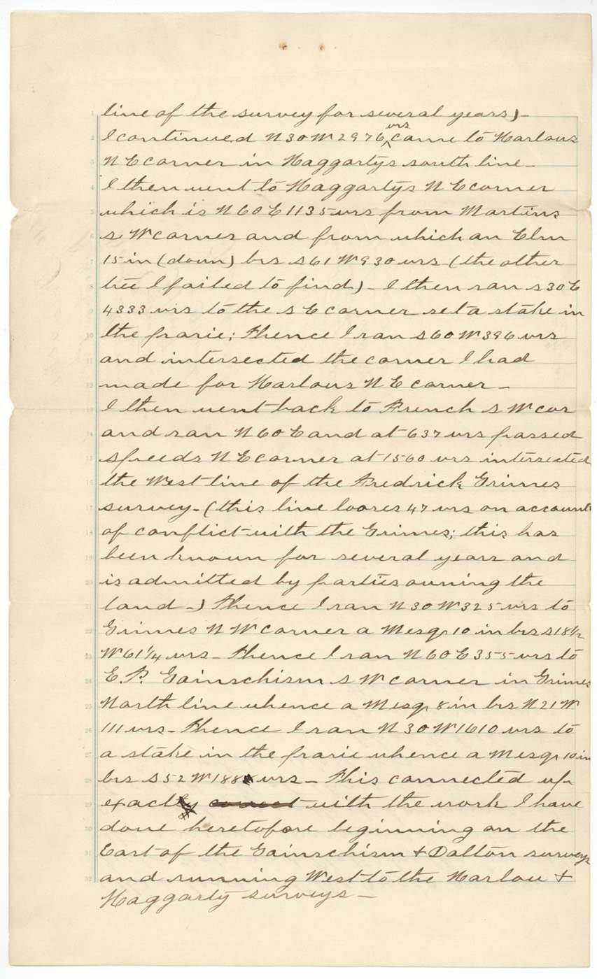
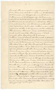 Surveyor's certificateContinuation of Chas. E. Lee's retracing of the neighbouring survey lines around the Noah Kezzia tract.General Land Office, file 5061, page 25 · in the scan
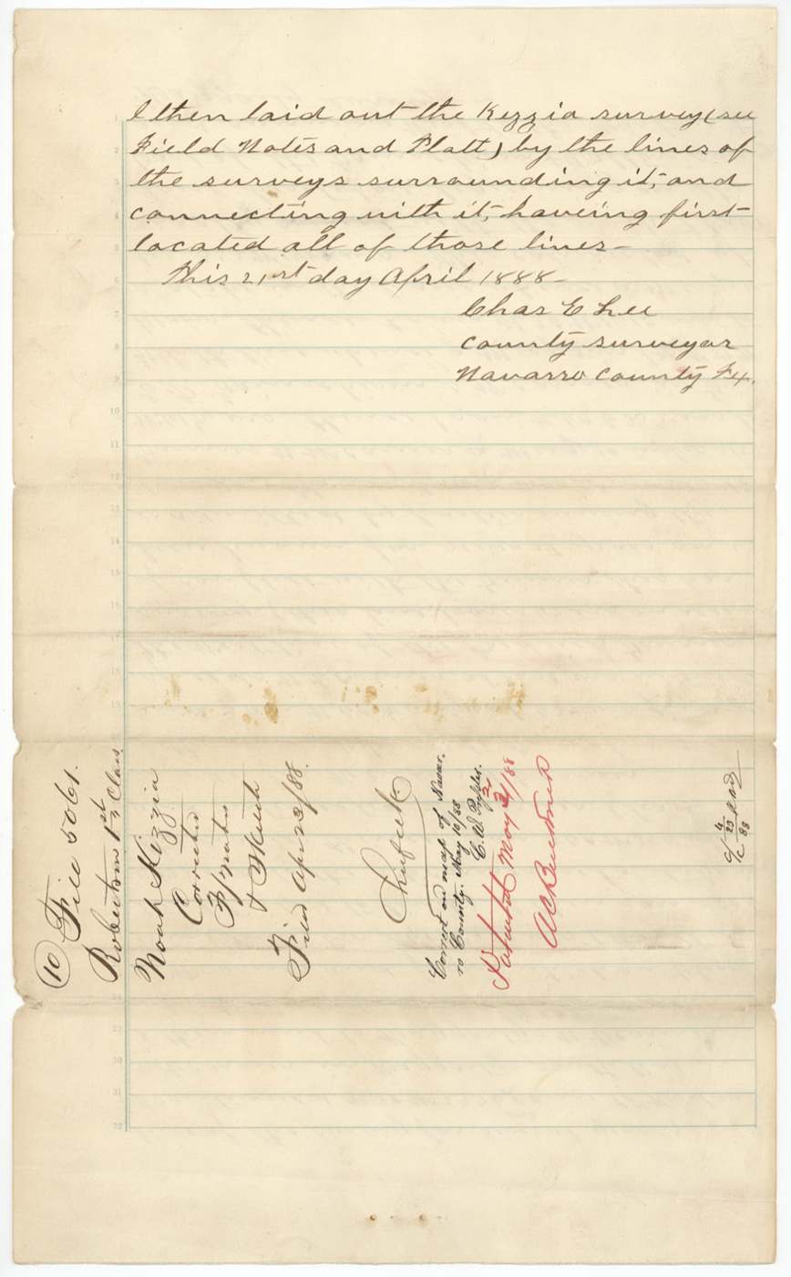
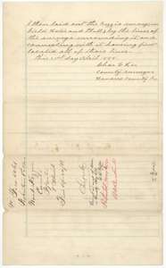 Surveyor's certificateClose of the retracing certificate, dated 21 April 1888, with a jacket for the corrected field notes filed 23 April 1888.General Land Office, file 5061, page 26 · in the scan
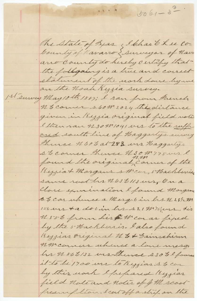
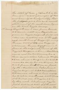 AffidavitStatement of county surveyor Chas. E. Lee describing his three surveys of the Kezzia tract, beginning with his run of 10 May 1887.General Land Office, file 5061, page 27 · in the scan
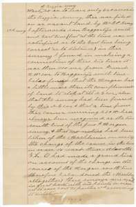 AffidavitContinuation of Chas. E. Lee's statement, on the earlier surveys and the conflict with the Morgan survey.General Land Office, file 5061, page 28 · in the scan
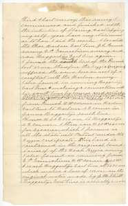 AffidavitContinuation of Chas. E. Lee's statement, on locating the Kezzia survey and the strip left between it and neighbouring surveys.General Land Office, file 5061, page 29 · in the scan
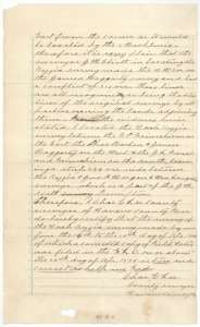 AffidavitClose of Chas. E. Lee's statement, sworn 21 April 1888, on the location of the Kezzia survey.General Land Office, file 5061, page 30 · in the scan
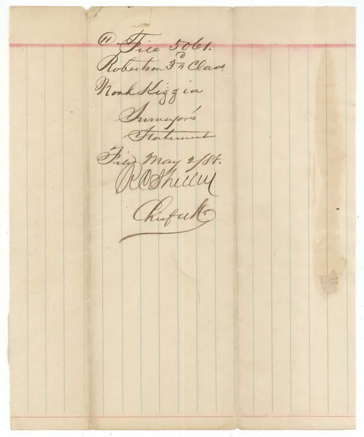
 WrapperJacket for the surveyor's statement of Chas. E. Lee, dated 2 May 1888.General Land Office, file 5061, page 31 · in the scan
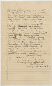 AffidavitAffidavit of Byron F. Barry before a Dallas County notary, 4 June 1888, that he owns about 550 acres of the Noah Kizziah survey through earlier deeds.General Land Office, file 5061, page 32 · in the scan
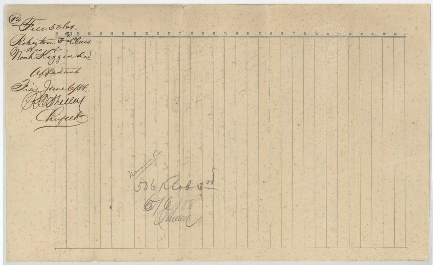
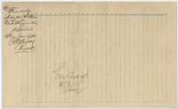 WrapperJacket for the affidavit of Byron F. Barry, filed 6 June 1888.General Land Office, file 5061, page 33 · in the scan
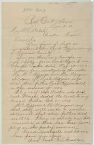 LetterLetter from R. L. Goodloe of Red Oak, November 1886, saying Noah Kezzia died in 1846 and questioning a transfer to Charles Parker dated 1850.General Land Office, file 5061, page 34 · in the scan
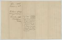 WrapperJacket marked evidence that the transfer from Noah Kezzia to Charles Parker was fraudulent, filed 12 November 1886.General Land Office, file 5061, page 35 · in the scan
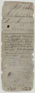 WrapperOld wrapper from the Kezzia file, with map-check notes and the patent entry.General Land Office, file 5061, page 36 · in the scan
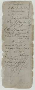 WrapperOld file wrapper listing the papers in the Kezzia file, with a note on the transfer to Charles Parker.General Land Office, file 5061, page 37 · in the scan
Scans courtesy of the Texas General Land Office, Austin, from its Land Grant Database.
On this ground today
- CemeteryFrost
- Historical markersFrost, Frost Baptist Church, Frost Methodist Church
Places that stand inside this survey’s lines as the state’s survey map draws them.
Neighbouring surveys
Sources
- Texas General Land Office, Land Grant Database: Navarro County, Abstract 466
- The Land Office file, scanned (PDF, at the General Land Office)
- 1924 map: courtesy of the Texas General Land Office, Austin, Map 73249, used under licence. Topo: U.S. Geological Survey, The National Map. Aerial photographs: U.S. Department of Agriculture, National Agriculture Imagery Program, 2012, 2018 and 2022. Survey outlines: Railroad Commission of Texas, Original Texas Land Survey. Grant records and files: Texas General Land Office.