Blackland TX · ← All the original surveys
Milton Finley Survey, Abstract 284
- Granted to
- Milton Finley
- Kind of grant
- Headright, third classLand for later settlers, including the colonists of Mercer’s Colony.
- Land Office file
- Robertson 3rd class, file 4271
- Acres
- 100
- Patented to
- Arvin Wright
- Patent
- 13 Aug 1860 · No. 335, Vol. 30
Tap a survey to open its page.
What the file shows
Milton Finley received a 640-acre third-class headright certificate from Mercer's Colony in 1850; by 1856 100 acres of it remained unlocated and the Land Office issued a balance certificate for them. Finley, of Hopkins County, sold his rights to William Warrenskjold in November 1856, who sold them on to Arvin Wright in January 1857. Deputy surveyor Milton Wright laid off the 100 acres on Mill Creek in northwest Navarro County in July 1857, and the patent issued to Arvin Wright as assignee on 10 August 1860.
The certificate
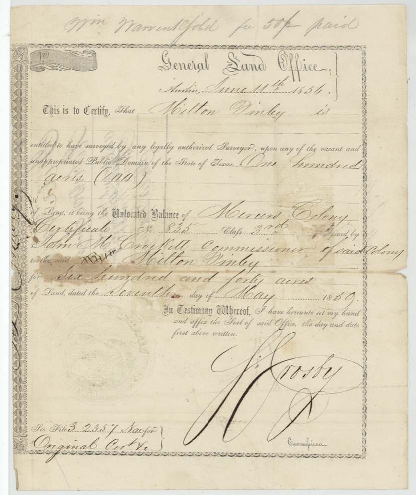
headright 3rd class, No. Mercer's Colony certificate No. 835, Class 3 (original); GLO unlocated-balance certificate for 100 acres, 100 (unlocated balance of 640), Original: John M. Crockett, Commissioner of Mercer's Colony; balance certificate: S. Crosby, Commissioner of the General Land Office, Balance certificate: General Land Office, Austin, Original 1850-05-07; balance certificate 1856-06-11.
Unlocated balance of Milton Finley's 640-acre Mercer's Colony third-class headright certificate (the deed calls it 'my own head right certificate')
Changes of hand
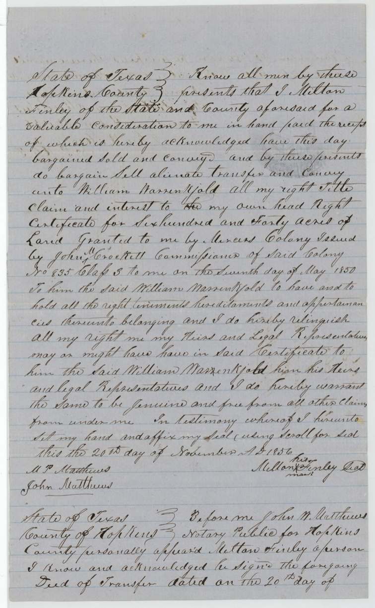
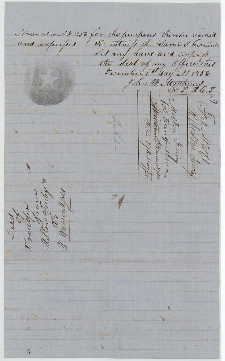
- 20 Nov 1856Milton Finley (of Hopkins County, signed by his mark) → William Warrenskjold, 'a valuable consideration', Hopkins County, Texas. Conveys all his right in the whole 640-acre certificate No. 835 Class 3 issued by John M. Crockett 7 May 1850; filed GLO 27 May 1858
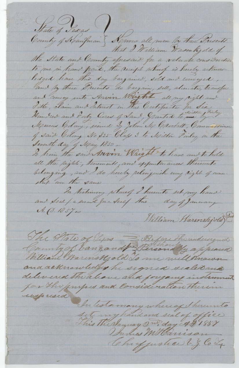
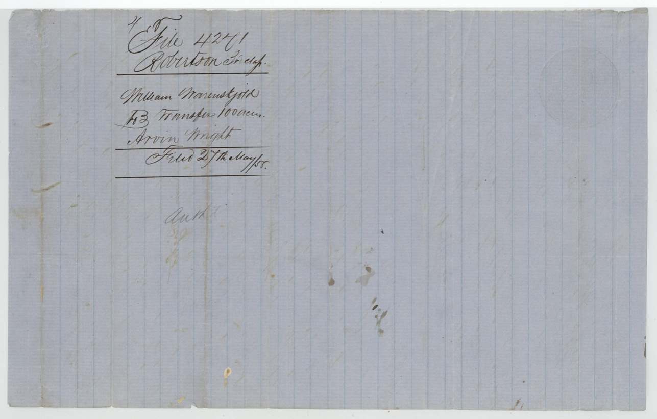
- 1857-01 (day left blank)William Warenskjold (deed caption: County of Kaufman) → Arvin Wright, 'a valuable consideration', Kaufman County caption; acknowledged in Van Zandt County. Conveys his interest in the 640-acre certificate granted to Milton Finley; filed GLO 27 May 1858
The survey
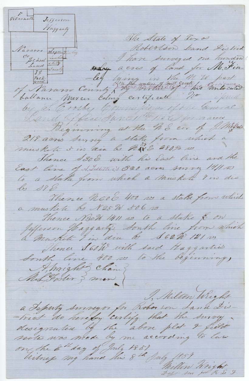
1857-07-06 (certified 1857-07-08), Milton Wright, Deputy Surveyor, Robertson Land District.
NW part of Navarro County; added in red ink: 'on the waters of Mill Creek about 19½ miles S 85 W(?) from Corsicana'
Chain carriers: A. Wright, M. L. Foster.
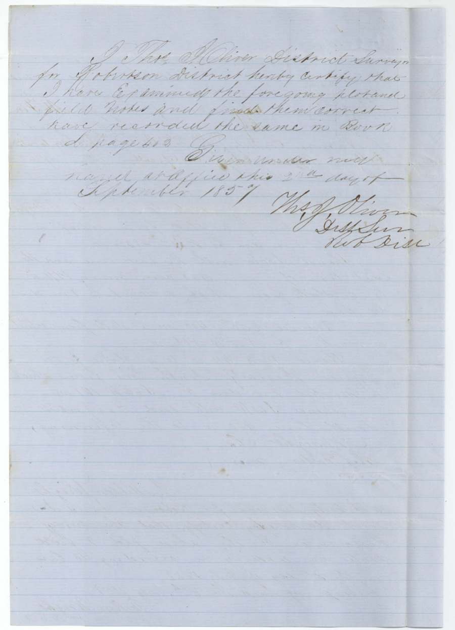
Book L, page 403
The patent
10 Aug 1860, No. 335, Vol. 30, to Arvin Wright, assignee, delivered to Forwarded to Arvin Wright, 8 Apr 1862 (clerk initials M. Pick?).
Also in the file
- Milton Finley sold his rights in the whole 640-acre certificate in November 1856, five months after the Land Office had already issued him a certificate for just the 100 acres left unlocated, so only this 100-acre balance is what this file actually passes on.
- The second deed is headed Kaufman County but was acknowledged before the chief justice of Van Zandt County, and the day of January 1857 was left blank.
- The buyer of the land, Arvin Wright, also served as a chain carrier on the survey, which was run by deputy surveyor Milton Wright.
- The location note (Mill Creek, about 19½ miles from Corsicana) was added later in red ink.
Timeline
- 7 May 1850Mercer's Colony certificate No. 835 (3rd class, 640 acres) issued to Milton Finley by John M. Crockett
- 11 Jun 1856GLO issues certificate for 100-acre unlocated balance
- 20 Nov 1856Finley sells certificate to William Warrenskjold in Hopkins County
- Jan 1857Warenskjold sells to Arvin Wright (acknowledged 2 Jan 1857, Van Zandt County)
- 6 Jul 1857Milton Wright surveys 100 acres on Mill Creek, NW Navarro County
- 2 Sep 1857Field notes examined and recorded, Book L p. 403
- 27 May 1858Papers filed in the General Land Office
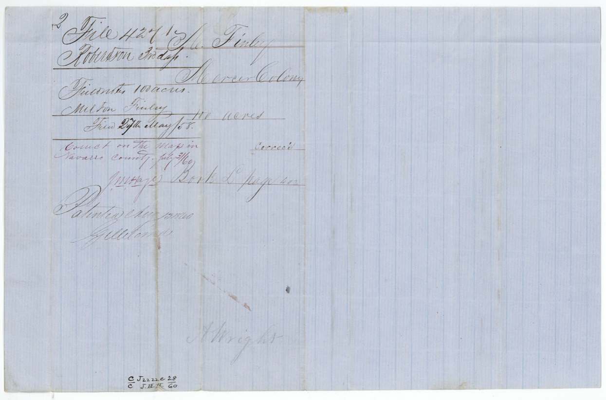
- 31 Jul 1860Checked correct on the Navarro County map
- 10 Aug 1860Patent No. 335 Vol. 30 issued to Arvin Wright, assignee
- 8 Apr 1862Patent forwarded to Arvin Wright
The papers in the file
Every page of the Land Office file, in the order the Land Office keeps them (10 pages). Tap a page to see it larger.
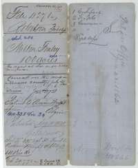 File jacketFile jacket for the Robertson Third Class file of Milton Finley, 100 acres, listing the certificate, field notes and two conveyances; patented 10 August 1860.General Land Office, file 4271, page 1 · in the scan
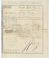 CertificateGeneral Land Office certificate for the 100-acre unlocated balance of Milton Finley's Mercer's Colony headright, issued at Austin on 11 June 1856.General Land Office, file 4271, page 2 · in the scan
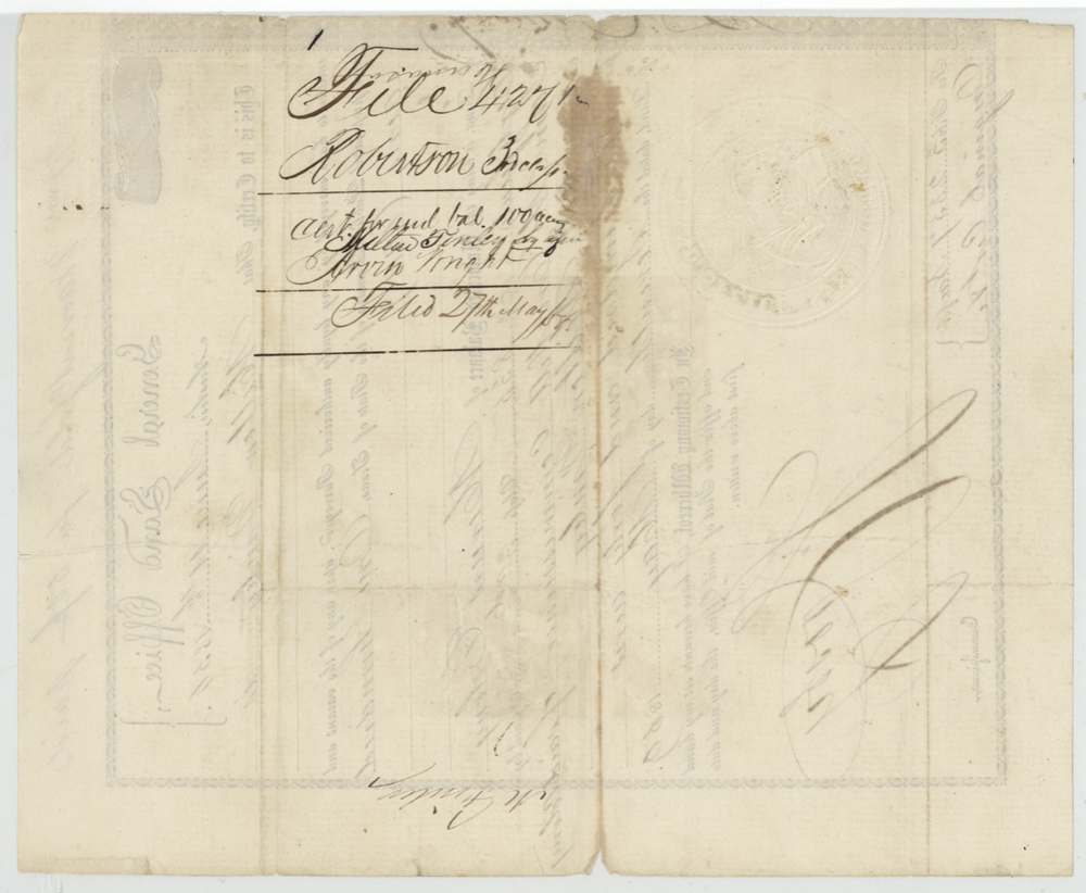
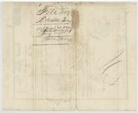 Back of the certificateBack of the balance certificate, with the file jacket for it marked filed 27 May 1858.General Land Office, file 4271, page 3 · in the scan
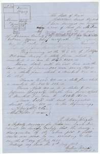 Field notesField notes for 100 acres on Mill Creek in northwest Navarro County, surveyed for Milton Finley by deputy surveyor Milton Wright on 6 July 1857.General Land Office, file 4271, page 4 · in the scan
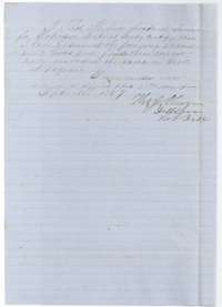 Surveyor's certificateCertificate of District Surveyor Thomas J. Oliver, September 1857, that he examined the Finley plat and field notes and recorded them.General Land Office, file 4271, page 5 · in the scan
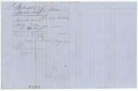 File jacketJacket for the field notes of Milton Finley, 100 acres, filed 27 May 1858 and marked patented to Arvin Wright, assignee.General Land Office, file 4271, page 6 · in the scan
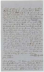 TransferDeed of 20 November 1856 in which Milton Finley of Hopkins County sells his Mercer's Colony certificate No. 835 to William Warrenskjold.General Land Office, file 4271, page 7 · in the scan
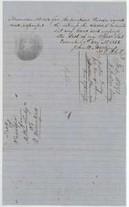 TransferClose of the Finley deed, with the acknowledgment before notary John W. Matthews of Hopkins County, 1 December 1856.General Land Office, file 4271, page 8 · in the scan
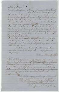 TransferDeed of January 1857 in which William Warrenskjold sells his interest in Milton Finley's colony certificate to Arvin Wright, acknowledged in Van Zandt County.General Land Office, file 4271, page 9 · in the scan
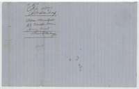 File jacketJacket for the transfer from William Warrenskjold to Arvin Wright, filed 27 May 1858.General Land Office, file 4271, page 10 · in the scan
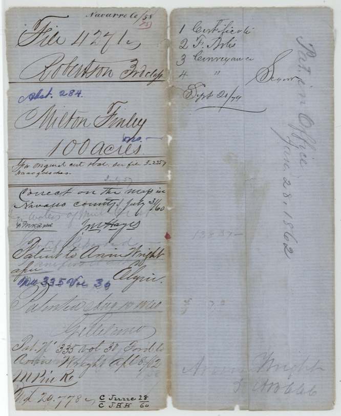
Scans courtesy of the Texas General Land Office, Austin, from its Land Grant Database.
Neighbouring surveys
Sources
- Texas General Land Office, Land Grant Database: Navarro County, Abstract 284
- The Land Office file, scanned (PDF, at the General Land Office)
- 1924 map: courtesy of the Texas General Land Office, Austin, Map 73249, used under licence. Topo: U.S. Geological Survey, The National Map. Aerial photographs: U.S. Department of Agriculture, National Agriculture Imagery Program, 2012, 2018 and 2022. Survey outlines: Railroad Commission of Texas, Original Texas Land Survey. Grant records and files: Texas General Land Office.