Blackland TX · ← All the original surveys
Archibald Ledbetter Survey, Abstract 505
- Granted to
- Archibald Ledbetter
- Kind of grant
- Headright, third classLand for later settlers, including the colonists of Mercer’s Colony.
- Land Office file
- Robertson 3rd class, file 4275
- Certificate
- No. 6
- Acres
- 320
- Patented to
- Arvin Wright
- Patent
- 13 Aug 1860 · No. 334, Vol. 30
Tap a survey to open its page.
What the file shows
Archibald Ledbetter proved his residence in Charles F. Mercer's colony before the Ellis County District Court, which issued him certificate No. 6 for 320 acres on 16 December 1856. He signed it over to John H. Hudson the next day, and Hudson sold it for $100 to Arvin Wright at Milford on 30 December 1857. Deputy surveyor Milton Wright located it on 6 July 1857 on Mill and Richland Creeks in northwest Navarro County, adjoining James McGee and the Navarro County school league. The patent (No. 334, Vol. 30) issued to Arvin Wright on 13 August 1860 and was forwarded to him in April 1862.
The certificate
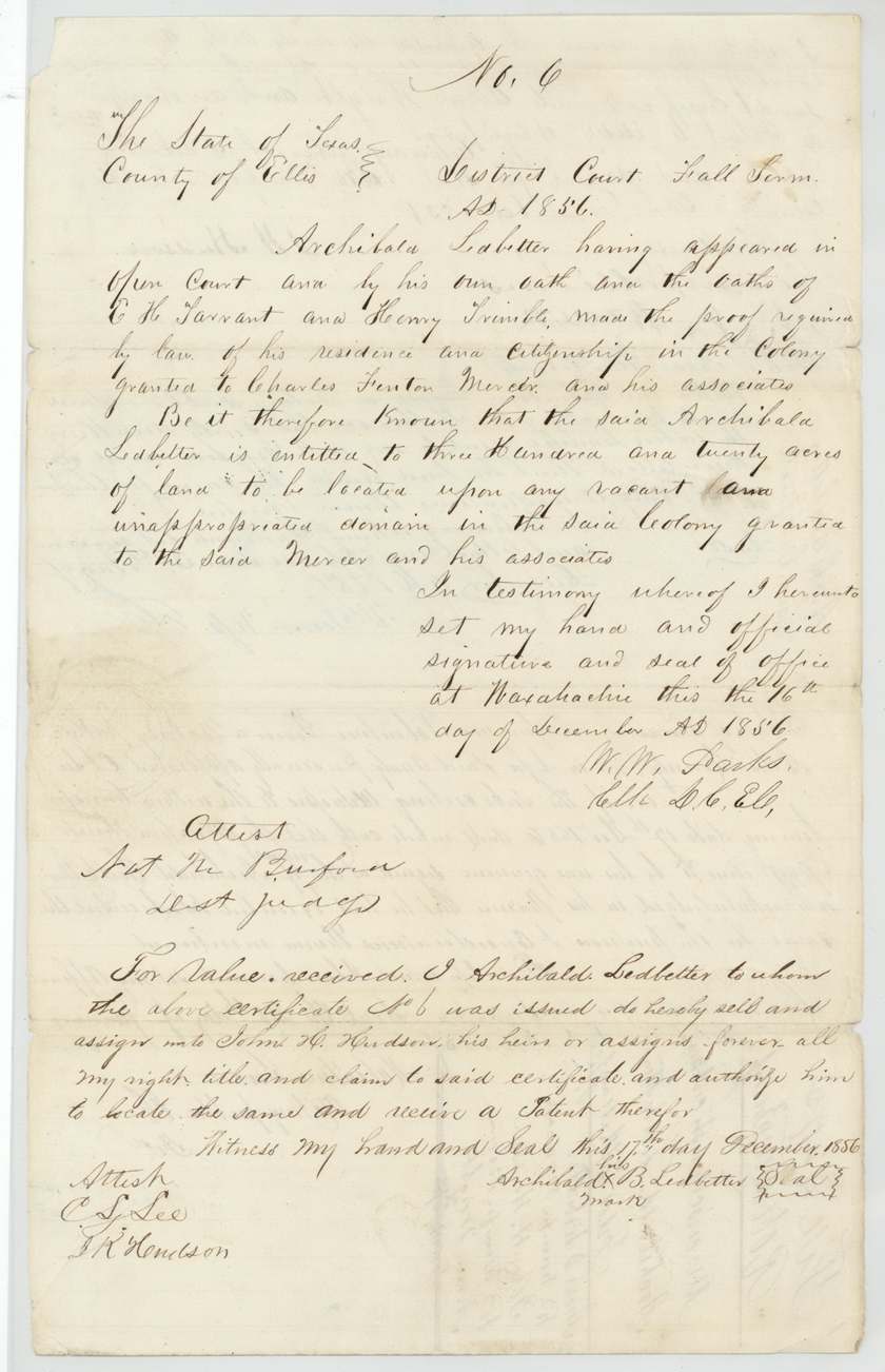
No. 6, 320 acres, District Court of Ellis County, Fall Term 1856 (W. W. Parks, Clerk D.C. E.C.; attest Nat M. Burford, Dist. Judge), Waxahachie, 16 Dec 1856.
Mercer Colony colonist certificate: Ledbetter proved in open court, on his own oath and the oaths of E. H. Tarrant and Henry Trimble, his residence and citizenship in the colony granted to Charles Fenton Mercer and associates; entitled to 320 acres of vacant land in that colony
Changes of hand
- 17 Dec 1856Archibald B. Ledbetter (his mark) → John H. Hudson, for value received, Ellis County (implied). Ledbetter signed by mark; assignment written on the certificate itself, the day after it issued
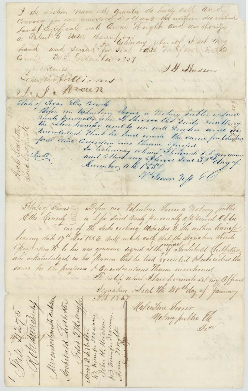
- 30 Dec 1857J. H. (John H.) Hudson → Arvin Wright, $100, Milford, Ellis County. authorises patent to issue to Wright
The survey
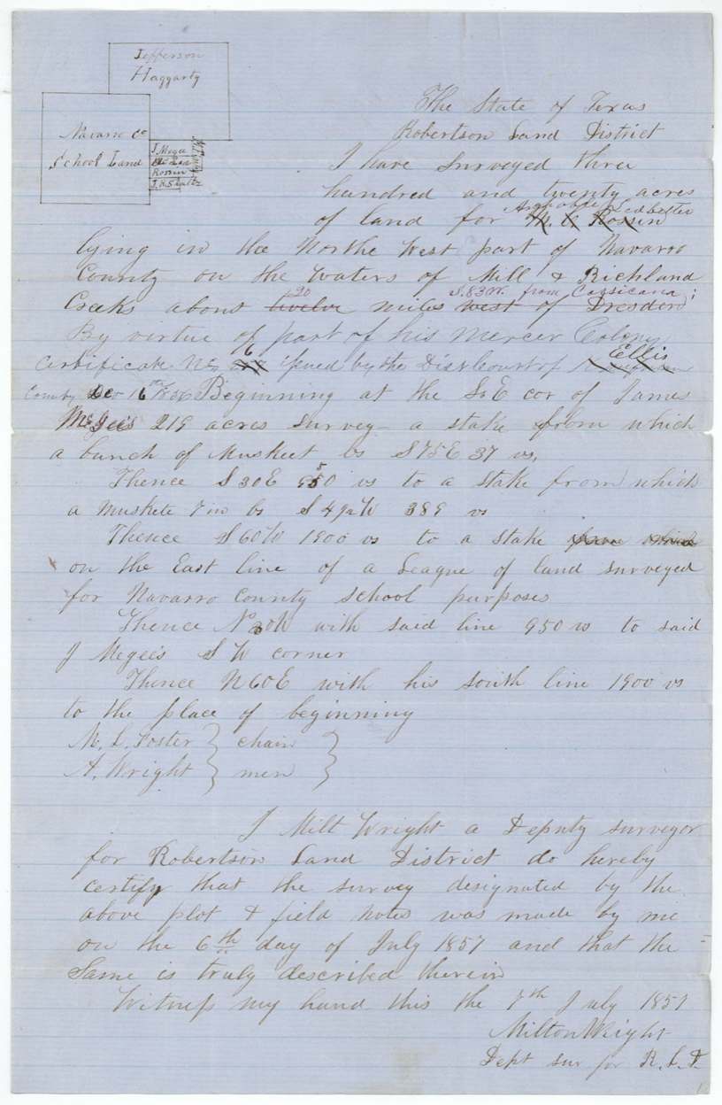
6 Jul 1857, Milton Wright, Deputy Surveyor, Robertson Land District.
Northwest part of Navarro County on the waters of Mill and Richland Creeks, about 20 miles S 83 W from Corsicana (first written 'about twelve miles west of Dresden', struck through)
Chain carriers: M. L. Foster, A. Wright.
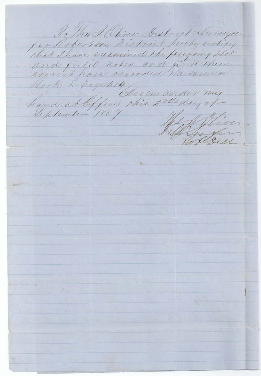
Book L, page 404
The patent
13 Aug 1860, No. 334, Vol. 30, to Arvin Wright, delivered to Arvin Wright, 8 Apr 1862 (forwarded).
Also in the file
- Indexed as a Robertson 3rd-class grant, but the right came from a Mercer Colony colonist certificate issued by the Ellis County court.
- Ledbetter signed the certificate away to John H. Hudson the day after the court issued it.
- The surveyor first wrote another man's name (read 'M. L. Rosin'?) and 'twelve miles west of Dresden', then changed both.
- The surveyor was Milton Wright and one chain carrier was A. Wright; the land ended with Arvin Wright, who bought the certificate for $100.
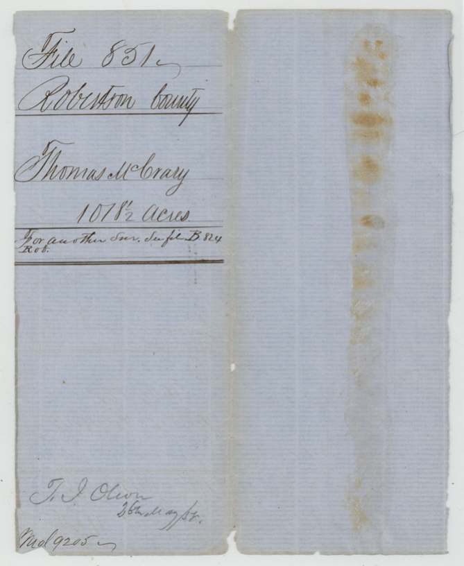
- A jacket for an unrelated Robertson County file (Thomas McCrary) is bound into this file.
Timeline
- 16 Dec 1856Ellis County District Court issues Mercer Colony certificate No. 6 to Archibald Ledbetter, 320 acres
- 17 Dec 1856Ledbetter assigns certificate to John H. Hudson
- 30 Jan 1857Witness C. L. Lee proves Ledbetter's assignment before notary
- 6 Jul 1857Milton Wright surveys 320 acres on Mill and Richland Creeks
- 30 Sep 1857District Surveyor Oliver examines and records field notes, Book L p. 404
- 30 Dec 1857Hudson sells certificate to Arvin Wright for $100 at Milford
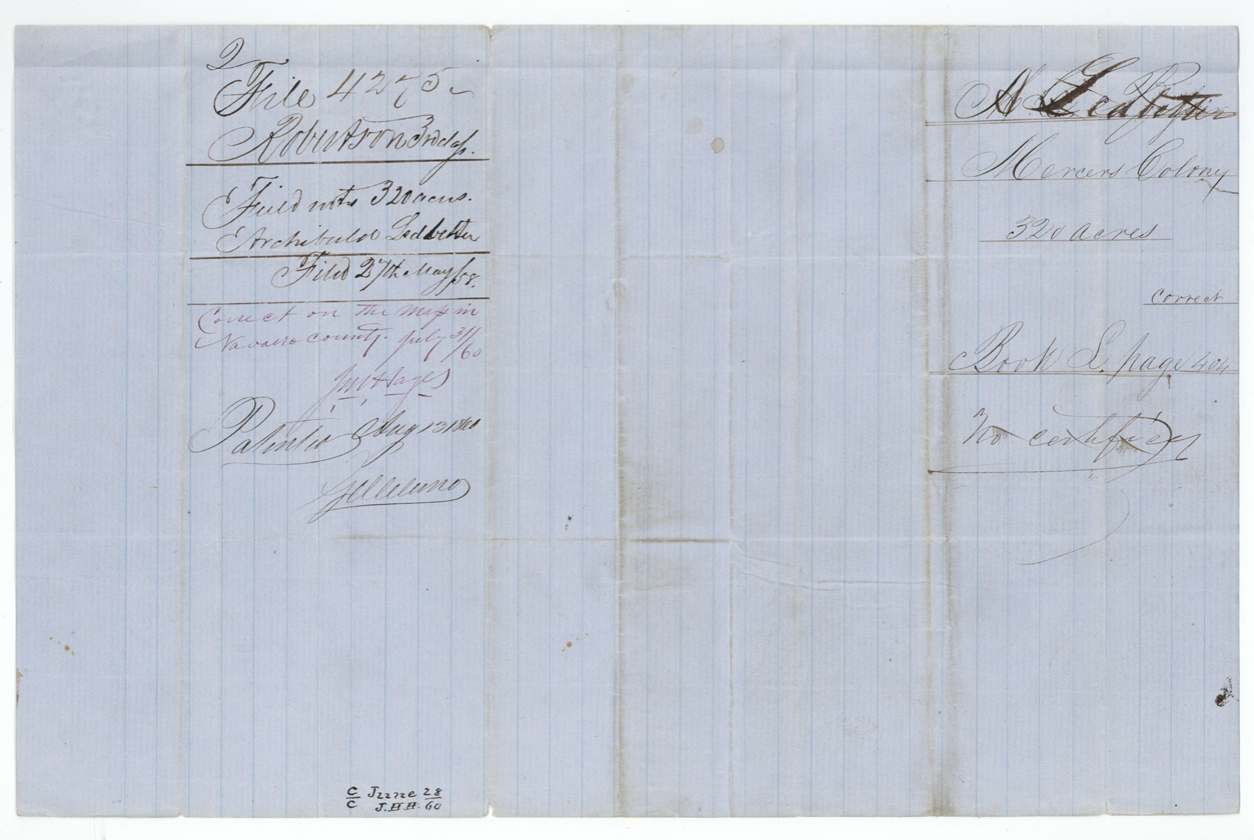
- 27 May 1858Field notes filed in General Land Office
- 31 Jul 1860Checked correct on Navarro County map
- 13 Aug 1860Patent No. 334 Vol. 30 issued to Arvin Wright
- 8 Apr 1862Patent forwarded to Arvin Wright
The papers in the file
Every page of the Land Office file, in the order the Land Office keeps them (7 pages). Tap a page to see it larger.
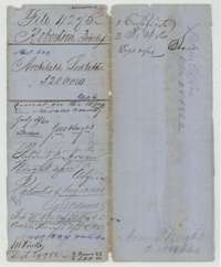 File jacketFile jacket for Archibald Ledbetter's 320 acres, a Mercer's Colony certificate in Navarro County, patented to Arvin Wright in August 1860.General Land Office, file 4275, page 1 · in the scan
 WrapperJacket of an unrelated Robertson County file for Thomas McCrary's land, bound into this file.General Land Office, file 4275, page 2 · in the scan
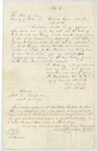 CertificateMercer's Colony certificate No. 6 for 320 acres issued to Archibald Ledbetter by the Ellis County District Court at Waxahachie, 16 December 1856, with his assignment to John H. Hudson.General Land Office, file 4275, page 3 · in the scan
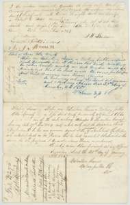 TransferTransfer by John H. Hudson to Arvin Wright of Ledbetter's certificate for $100, 30 December 1857, with the notary's acknowledgments and a wrapper.General Land Office, file 4275, page 4 · in the scan
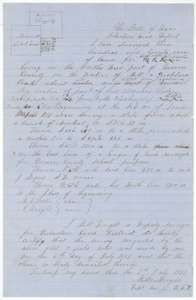 Field notesField notes and plat for 320 acres on Mill and Richland Creeks, surveyed 6 July 1857 by deputy surveyor Milton Wright for Archibald Ledbetter.General Land Office, file 4275, page 5 · in the scan
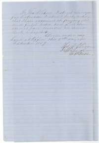 Surveyor's certificateDistrict surveyor Thomas J. Oliver's certificate that the Ledbetter field notes were examined and recorded in Book L, page 404, September 1857.General Land Office, file 4275, page 6 · in the scan
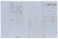 WrapperField-notes wrapper for Archibald Ledbetter's 320 acres, marked correct on the county map and patented to Arvin Wright in 1860.General Land Office, file 4275, page 7 · in the scan
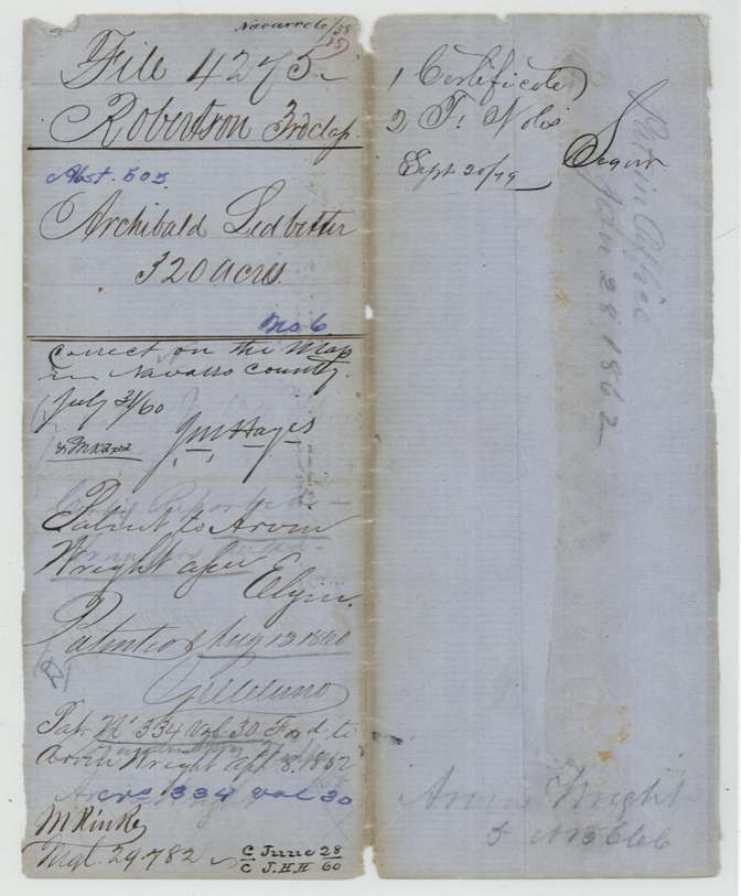
Scans courtesy of the Texas General Land Office, Austin, from its Land Grant Database.
Neighbouring surveys
Sources
- Texas General Land Office, Land Grant Database: Navarro County, Abstract 505
- The Land Office file, scanned (PDF, at the General Land Office)
- 1924 map: courtesy of the Texas General Land Office, Austin, Map 73249, used under licence. Topo: U.S. Geological Survey, The National Map. Aerial photographs: U.S. Department of Agriculture, National Agriculture Imagery Program, 2012, 2018 and 2022. Survey outlines: Railroad Commission of Texas, Original Texas Land Survey. Grant records and files: Texas General Land Office.