Blackland TX · ← All the original surveys
James G. Green Survey, Abstract 329
- Granted to
- James G. Green
- Kind of grant
- Land scripLand bought from the Republic with scrip.
- Land Office file
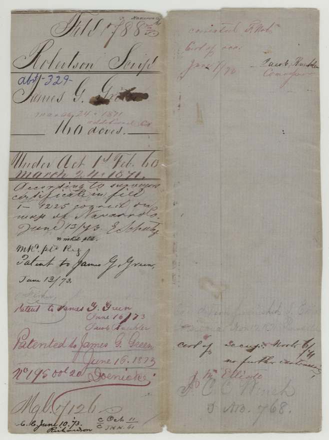
- Robertson Scrip, file 788
- Acres
- 160
- Patented to
- James G. Green
- Patent
- 16 Jun 1873 · No. 195, Vol. 20
Tap a survey to open its page.
What the file shows
James G. Green settled on vacant public land on the waters of Chambers Creek, about 17 miles west of Corsicana, and filed a preemption claim (No. 79) in October 1860, renewing it as head of a family in October 1861 through his agent J. C. C. Winch. County Surveyor J. M. Eliot surveyed 160 acres for him on May 1, 1861, between the William Clark and W. H. Hines surveys. Green swore in 1872, with J. C. P. and O. M. Melton as witnesses, that he had lived on and improved the land as his homestead for three years from August 1861. After the county surveyor corrected the field notes in 1873 because the Hines survey overlapped Clark's, the patent issued to Green on June 16, 1873 (No. 195, Vol. 20).
The certificate
preemption (settler's homestead claim on vacant public domain, 160 acres), No. Affidavit / designation No. 79, 160 acres, no certificate; claim made by settler's affidavits under 'An Act to authorize the sale of the Public Domain' (Act of 1 Feb 1860) and later proved up under the Act of 13 Aug 1870 and supplementary act of 24 March 1871, Navarro County, first affidavit 1860-10-24; renewed 1861-10-02; proof of occupancy 1872-09-19.
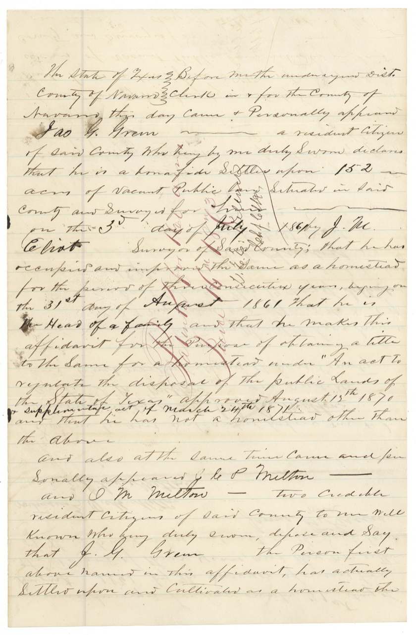
Bona fide settlement on vacant public domain; he swore he was head of a family (1861) and in 1872 that he had occupied and improved the land as a homestead for three consecutive years from 31 Aug 1861 and had no other homestead
The survey
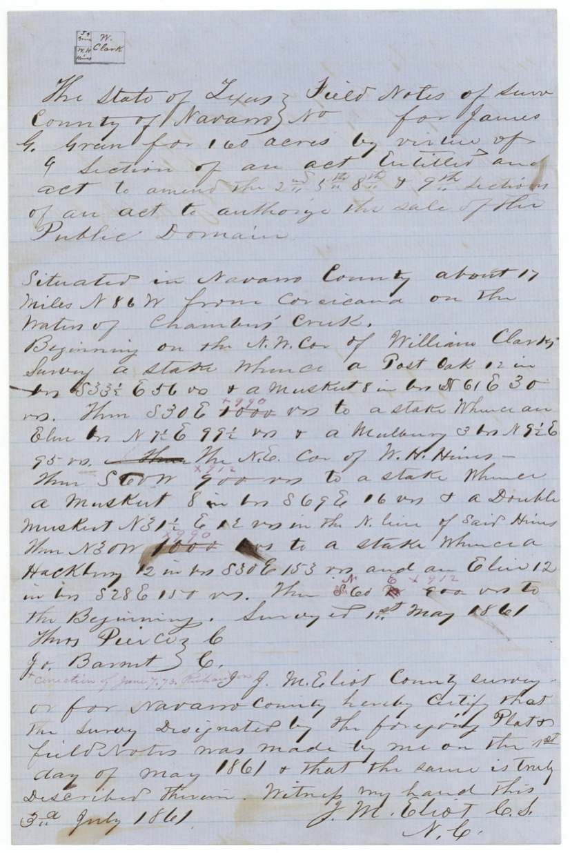
1861-05-01 (certified 1861-07-03; recorded 1861-07-31), J. M. Eliot, County Surveyor, Navarro County.
Navarro County, about 17 miles N 86 W from Corsicana, on the waters of Chambers Creek
Chain carriers: Thos. Pierce(?), Jo. Barnett(?).
Book B, page 392, Navarro County
The survey
19 May 1873, A. S. Howren(?), County Surveyor, Navarro County.
Same tract, from Wm. Clark's NW corner
Book 'C' page 27 (corrected notes), Navarro County surveyor's office
The patent
16 Jun 1873, No. 195, Vol. 20, to James G. Green, delivered to not clearly stated; wrapper pencil names 'Jo. M. Elliott(?)' and 'J. C. C. Winch'.
Also in the file
- Green signed his own name in 1860 and 1861 but made his mark in 1872 — either a clerk signed for him earlier or he could not write by then.
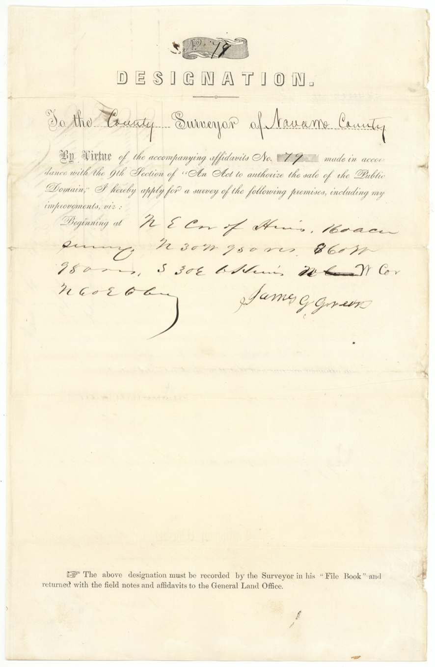
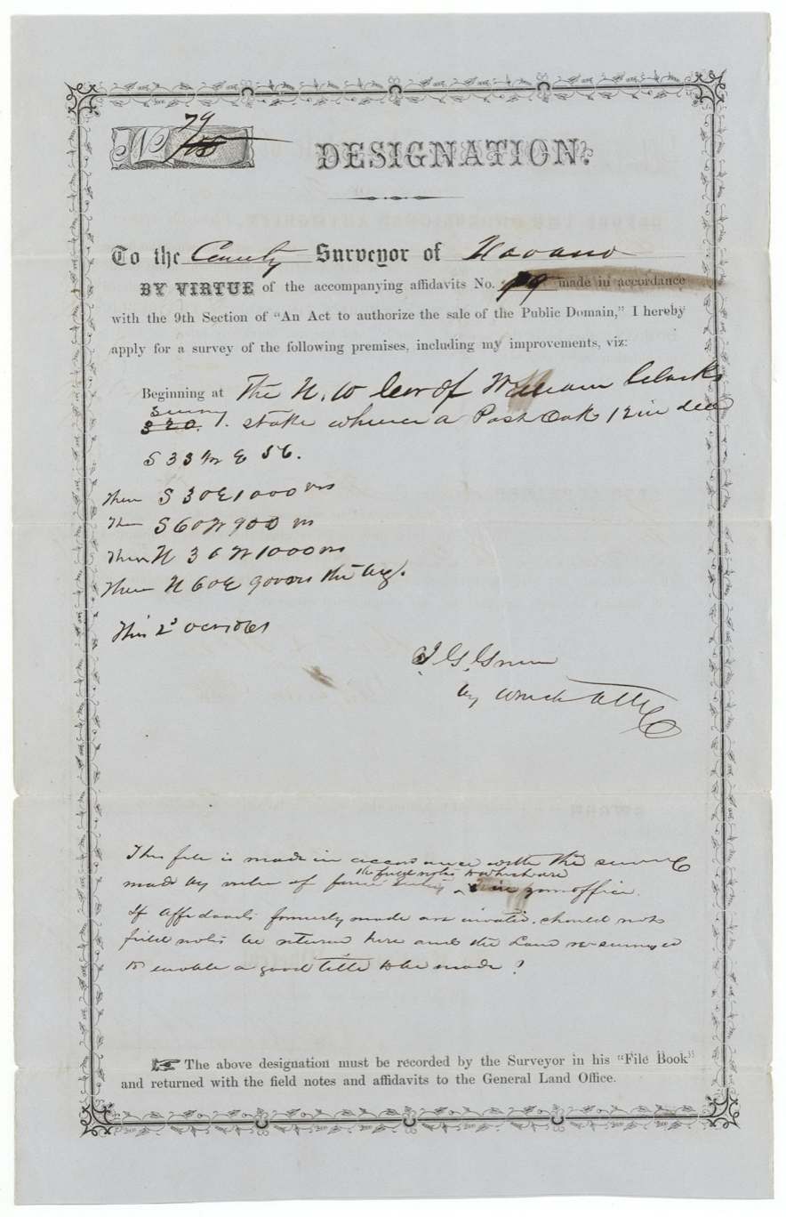
- The first designation (1860) began at a corner of the Hines survey; the second (1861), filed by his agent Winch, began at William Clark's corner instead, and the agent asked the Land Office whether the earlier affidavits were invalid and the land should be resurveyed.
- His three years of required occupancy began 31 August 1861 — the first summer of the Civil War — and he did not prove it up until 1872, under a Reconstruction-era homestead act.
- The 1872 affidavit speaks of 152 acres though the survey and patent are for 160.
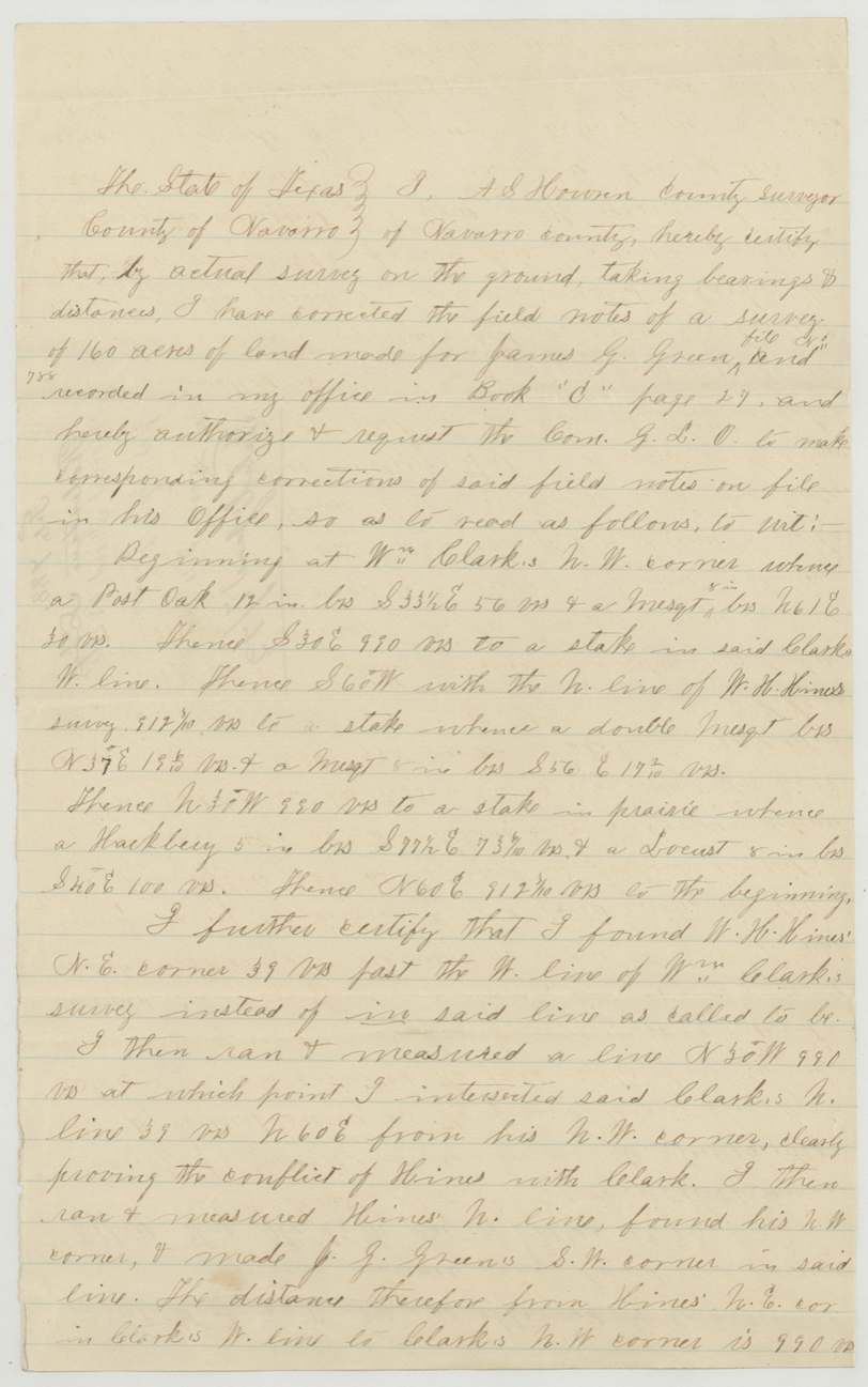
- In 1873 the county surveyor found that the neighbouring W. H. Hines survey overlapped the William Clark survey by 39 varas, so Green's field notes had to be corrected (990 varas, not the 950 'obtained by calculation') before the patent issued.
- J. C. C. Winch appears three ways: as notary for the 1860 affidavit, as Green's attorney on the 1861 designation, and in pencil on the wrapper.
Timeline
- 24 Oct 1860First preemption affidavit No. 79 and designation filed in Navarro County (notary J. C. C. Winch)
- 1 May 1861J. M. Eliot surveys 160 acres on Chambers Creek waters, 17 miles W of Corsicana
- 3 Jul 1861Surveyor certifies field notes
- 31 Jul 1861Field notes recorded Book B p. 392
- 17 Aug 1861Field notes, affidavit and designation filed in GLO
- 31 Aug 1861Start of the three-year homestead occupancy later sworn to
- 2 Oct 1861Second affidavit (head of family) and designation sworn before A. Duren
- 10 Oct 1861Second affidavit and designation filed in GLO
- 19 Sep 1872Proof of occupancy sworn, with J. C. P. and O. M. Melton as witnesses
- 19 May 1873County surveyor corrects field notes after finding Hines-Clark overlap
- 7 Jun 1873Corrected field notes and occupancy certificate filed in GLO
- 16 Jun 1873Patent No. 195, Vol. 20 issued to James G. Green
The papers in the file
Every page of the Land Office file, in the order the Land Office keeps them (17 pages). Tap a page to see it larger.
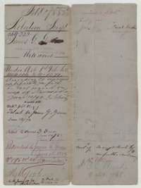 File jacketFile jacket for James G. Green's 160-acre claim in Navarro County, noting the corrected field notes of June 1873 and the patent issued 16 June 1873.General Land Office, file 788, page 1 · in the scan
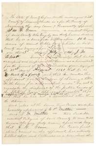 AffidavitFirst page of James G. Green's sworn proof, 19 September 1872, that he settled and improved 152 acres in Navarro County as a homestead from 31 August 1861.General Land Office, file 788, page 2 · in the scan
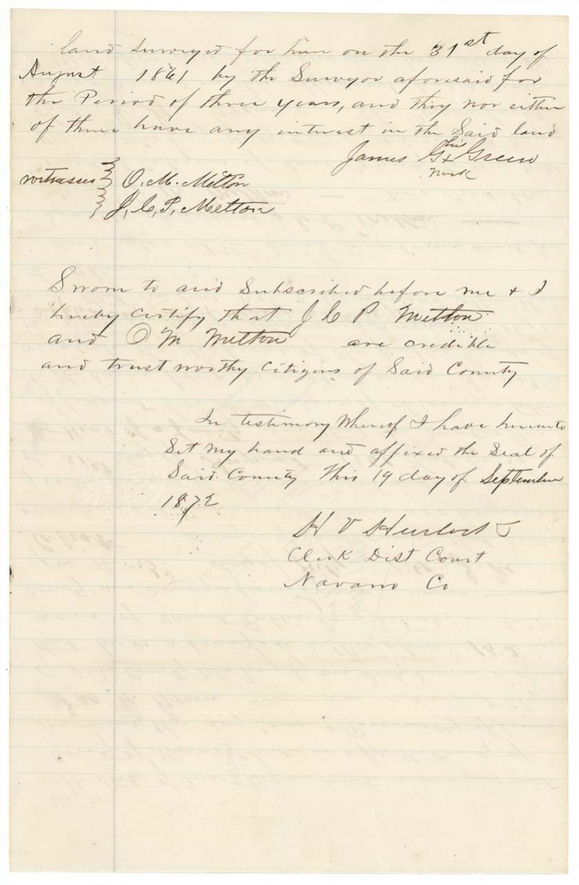
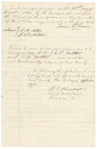 AffidavitEnd of the proof of occupancy, with the sworn statement of two neighbours, J. C. P. Melton and O. M. Melton, and the district clerk's certificate.General Land Office, file 788, page 3 · in the scan
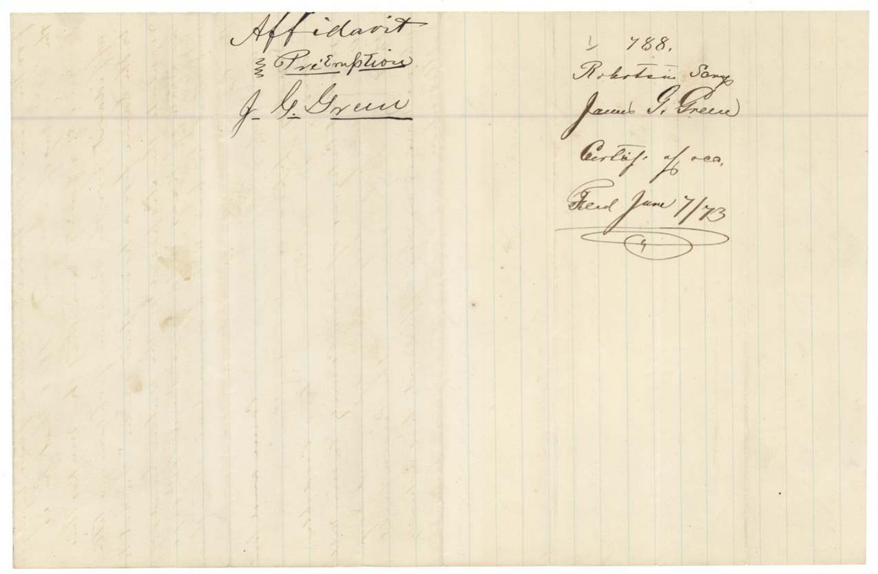
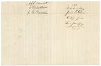 WrapperWrapper for James G. Green's preemption affidavit, filed 7 June 1873 with the certificate of occupancy.General Land Office, file 788, page 4 · in the scan
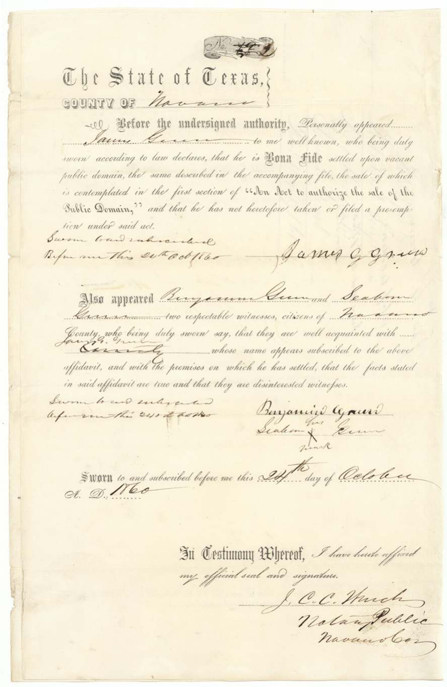
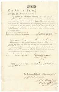 AffidavitPrinted preemption affidavit sworn 24 October 1860 by James G. Green, a settler on vacant public land in Navarro County, with witnesses Benjamin Green and Seaborn Green.General Land Office, file 788, page 5 · in the scan
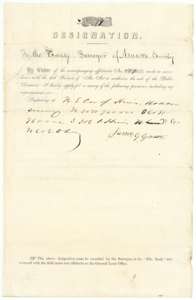 Other papersDesignation signed by James G. Green asking the Navarro County surveyor to survey his claim, described from the corner of the Hines survey.General Land Office, file 788, page 6 · in the scan
 WrapperBack of the designation, endorsed as James G. Green's application filed 24 October 1860.General Land Office, file 788, page 7 · in the scan
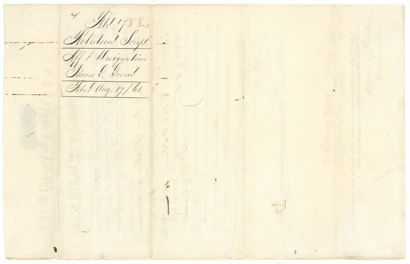
 WrapperWrapper for the affidavit and designation of James G. Green, filed in the General Land Office 17 August 1861.General Land Office, file 788, page 8 · in the scan
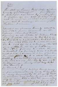 Field notesField notes for 160 acres surveyed for James G. Green on 1 May 1861 by County Surveyor J. M. Eliot, on Chambers Creek waters west of Corsicana.General Land Office, file 788, page 9 · in the scan
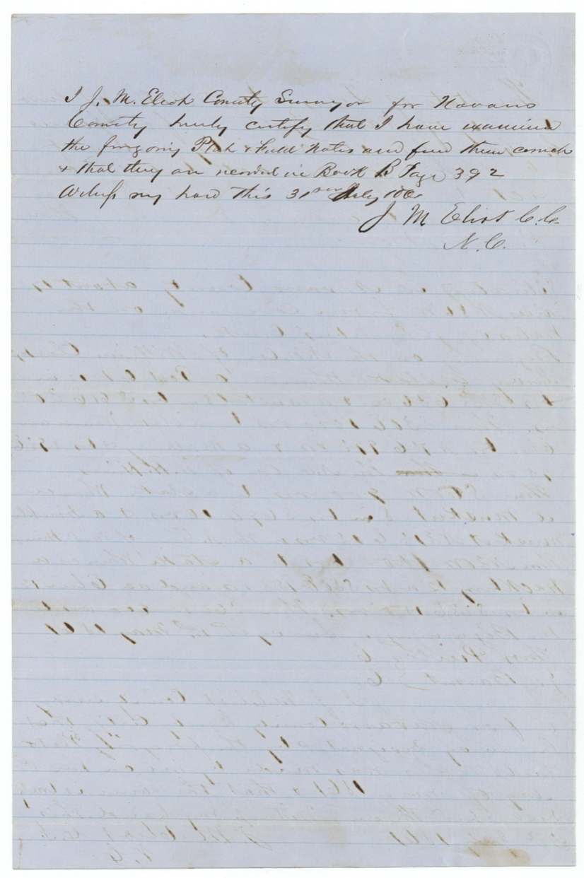
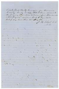 Surveyor's certificateCounty Surveyor J. M. Eliot's certificate that he examined the field notes and found them correct, recorded in Navarro County Book B, page 392, 31 July 1861.General Land Office, file 788, page 10 · in the scan
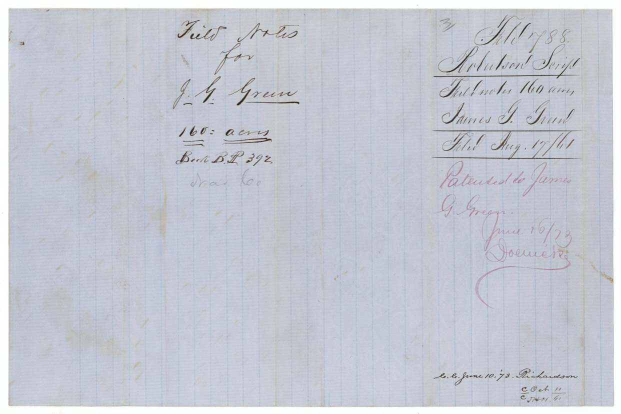
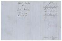 WrapperWrapper for the field notes of James G. Green, 160 acres, filed 17 August 1861 and later marked as patented 16 June 1873.General Land Office, file 788, page 11 · in the scan
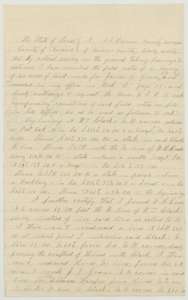 CorrectionCorrected field notes of 19 May 1873 by the Navarro County surveyor, resurveying Green's 160 acres after finding a conflict between the Hines and Clark surveys.General Land Office, file 788, page 12 · in the scan
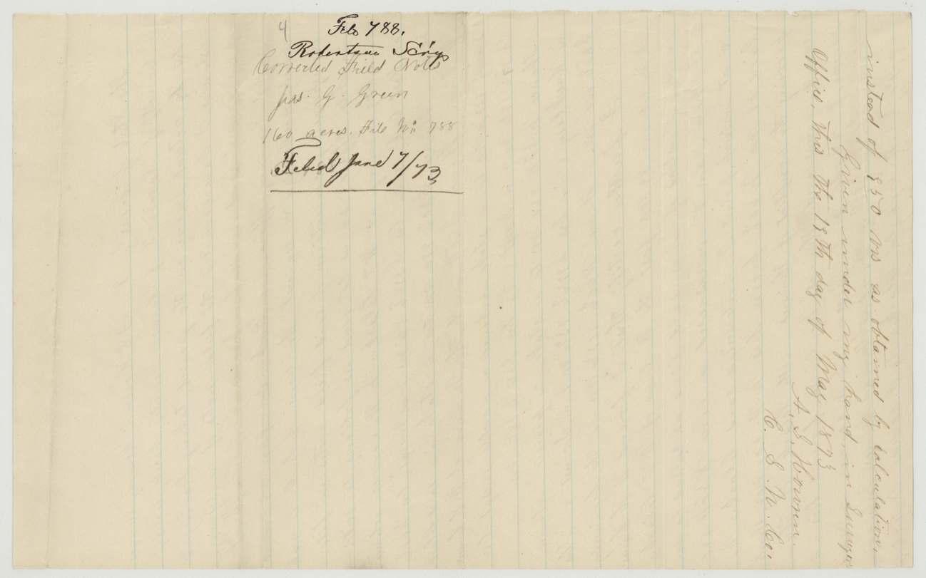
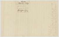 WrapperEnd of the corrected field notes, with wrapper endorsed as corrected field notes of James G. Green filed 7 June 1873.General Land Office, file 788, page 13 · in the scan
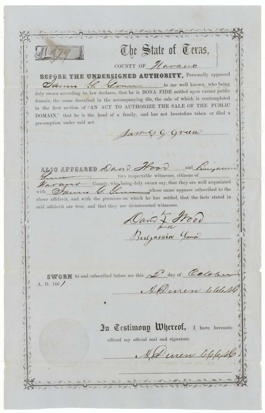
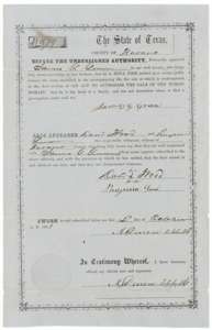 AffidavitSecond preemption affidavit, sworn 2 October 1861 before the county clerk, that James G. Green is head of a family settled on vacant land, with two witnesses.General Land Office, file 788, page 14 · in the scan
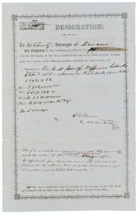 Other papersSecond designation, 2 October 1861, signed for James G. Green by his attorney, with a note asking whether the land should be resurveyed to make good title.General Land Office, file 788, page 15 · in the scan
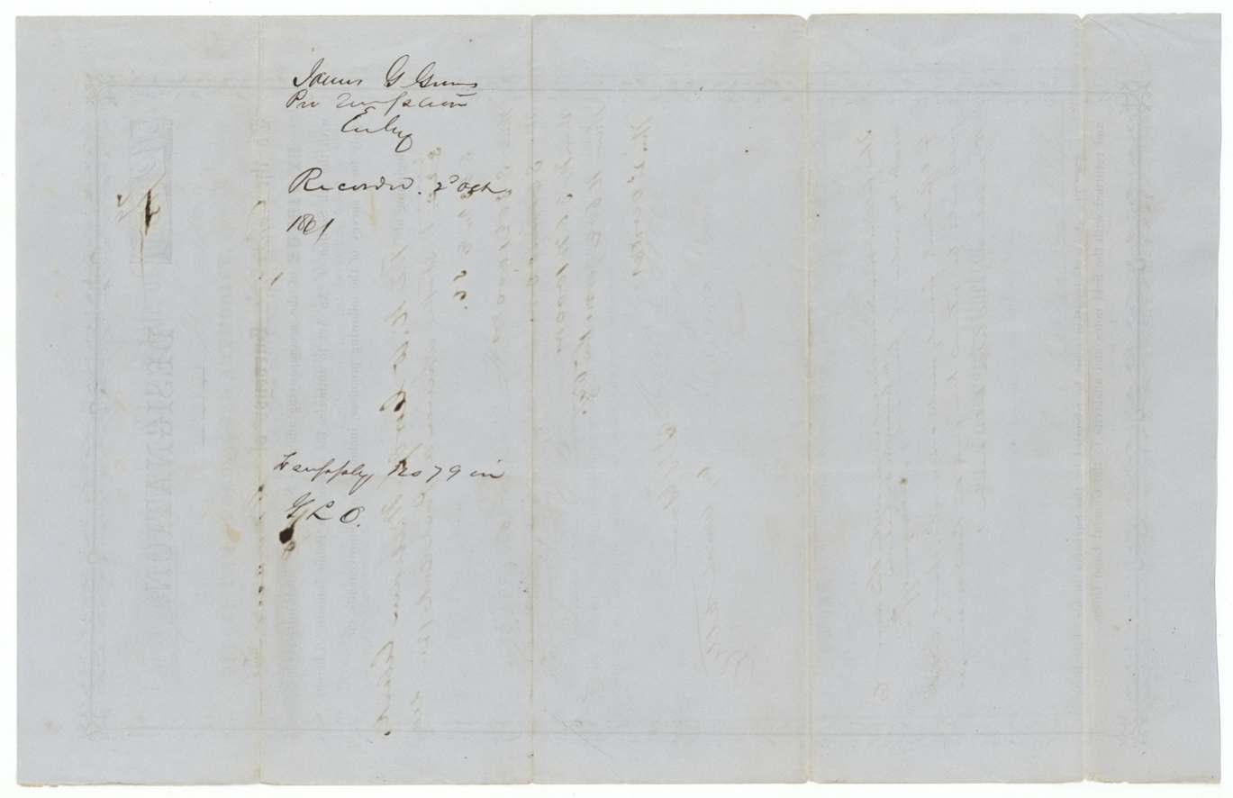
 WrapperBack of the second designation, noting James G. Green's preemption entry recorded 2 October 1861, duplicate of No. 79 in the General Land Office.General Land Office, file 788, page 16 · in the scan
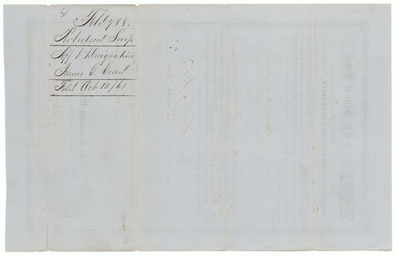
 WrapperWrapper for the second affidavit and designation of James G. Green, filed 10 October 1861.General Land Office, file 788, page 17 · in the scan
Scans courtesy of the Texas General Land Office, Austin, from its Land Grant Database.
Neighbouring surveys
Sources
- Texas General Land Office, Land Grant Database: Navarro County, Abstract 329
- The Land Office file, scanned (PDF, at the General Land Office)
- 1924 map: courtesy of the Texas General Land Office, Austin, Map 73249, used under licence. Topo: U.S. Geological Survey, The National Map. Aerial photographs: U.S. Department of Agriculture, National Agriculture Imagery Program, 2012, 2018 and 2022. Survey outlines: Railroad Commission of Texas, Original Texas Land Survey. Grant records and files: Texas General Land Office.