Blackland TX · ← All the original surveys
Starrett J. Dobbins Survey, Abstract 220
- Granted to
- Starrett J. Dobbins
- Kind of grant
- Headright, third classLand for later settlers, including the colonists of Mercer’s Colony.
- Land Office file
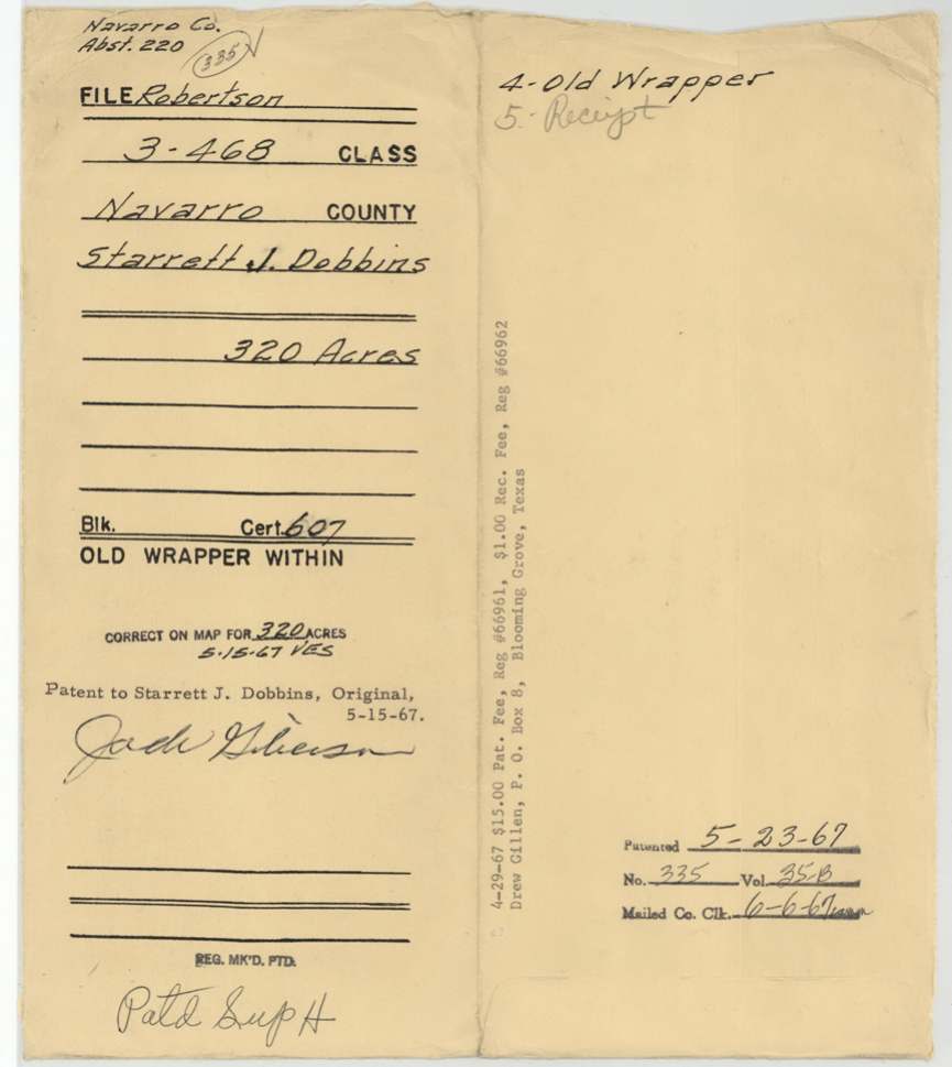
- Robertson 3rd class, file 468
- Certificate
- No. 607
- Acres
- 320
- Patented to
- Starrett J. Dobbins
- Patent
- 23 May 1967 · No. 335, Vol. 35-B
Tap a survey to open its page.
What the file shows
Starrett J. Dobbins was given a conditional headright for 320 acres by the Washington County land board on 30 December 1839. Deputy surveyor James E. Patton laid it out on 14 November 1850 on Post Oak Creek, a branch of Richland Creek, between J. A. Ramsey and N. T. Byars. Dobbins died, and in 1857 his heirs received an unconditional certificate at Brenham, but no patent was taken out. The patent finally issued on 23 May 1967, 117 years after the survey.
The certificate
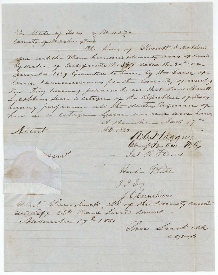
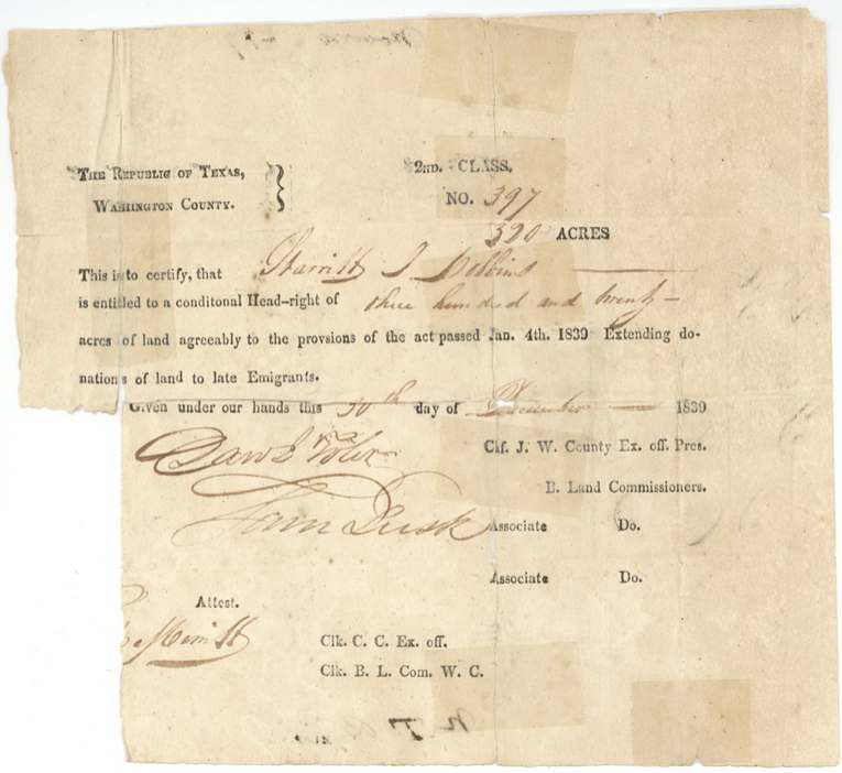
headright (conditional certificate under act of 4 Jan 1839 for late emigrants, printed '2nd Class'; filed Robertson 3rd class), later unconditional certificate to heirs, No. 397 (conditional); 607 (unconditional), 320 acres, Conditional: Board of Land Commissioners, Washington County — Saml(?) Wier(?) [Chief Justice, ex off. Pres.], John Lusk(?) Associate; attest ?. Merritt(?), Clk. Unconditional: Board of Land Commissioners, Washington County — W. A. Higgins(?), Chief Justice W.C.; Jas K. Hines(?); Hardin White; J. J. Ivey(?); J. C. Crenshaw; attest Sam Lusk, Clk of the County Court & ex off. Clk Board Land Comrs., Washington County; unconditional given at Brenham, 1839-12-30 (conditional No. 397); 1857-11-17 (unconditional No. 607).
Conditional headright of 320 acres 'agreeably to the provisions of the act passed Jan. 4th 1839 extending donations of land to late emigrants'. Unconditional: the heirs proved that Starrett J. Dobbins was a citizen of the Republic of Texas and performed all duties required of him as a citizen.
The survey
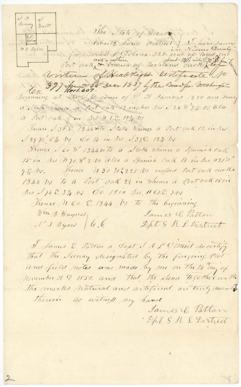
14 Nov 1850, James E. Patton.
In Navarro County on Post Oak creek, a northern branch of Richland Creek, about 14½ miles S(?) 70 W(?) from Corsicana; begins at SE corner of J. A. Ramsey's 1280-acre survey; crosses Post Oak creek at 225 vrs on the N30W line
Chain carriers: Wm B. Haynes, N. T. Byars.
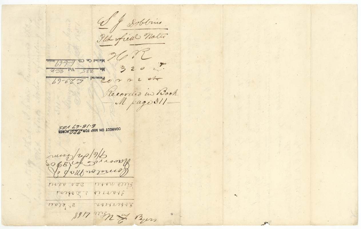
Book M, page 311
The patent
23 May 1967, No. 335, Vol. 35-B, to Starrett J. Dobbins, original grantee.
Also in the file
- Patent issued 23 May 1967 — about 116 years after the 1850 survey and 128 years after the 1839 certificate; the land had been surveyed, recorded and mapped but never patented.
- Conditional certificate printed '2nd Class' but issued under the 4 Jan 1839 act and filed as Robertson 3rd class.
- Unconditional certificate No. 607 issued to heirs in 1857, seven years after the land was surveyed on the conditional certificate.
- Field notes give the conditional certificate date as '30 Decr 1839' (last digit could be read 7).
Timeline
- 30 Dec 1839Washington County board issues conditional headright No. 397, 320 acres, to Starrett J. Dobbins
- 14 Nov 1850Deputy Surveyor James E. Patton surveys 320 acres on Post Oak creek; chain carriers Wm B. Haynes and N. T. Byars
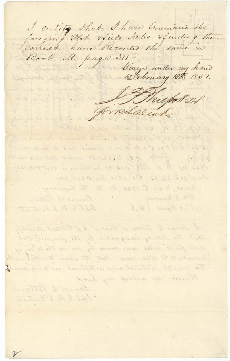
- 12 Feb 1851J. P. Philpott examines and records field notes in Book M p. 311
- 28 Jun 1851Correct on GLO map (Creuzbaur)
- 17 Nov 1857Unconditional certificate No. 607 issued at Brenham to the heirs of Starrett J. Dobbins
- 6 Sep 1907(?) 'Correct on Map of Navarro Co.' note, reading uncertain
- 15 May 1967Correct on map for 320 acres (VES)
- 23 May 1967Patent No. 335 Vol. 35-B to Starrett J. Dobbins, Original
The papers in the file
Every page of the Land Office file, in the order the Land Office keeps them (16 pages). Tap a page to see it larger.
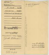 File jacketModern file jacket for the 320-acre survey in Navarro County for Starrett J. Dobbins, with the 1967 patent entry and fee notes.General Land Office, file 468, page 1 · in the scan
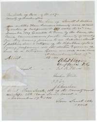 CertificateUnconditional certificate No. 607 for 320 acres, issued at Brenham on 17 November 1857 to the heirs of Starrett J. Dobbins by the Washington County land board.General Land Office, file 468, page 2 · in the scan
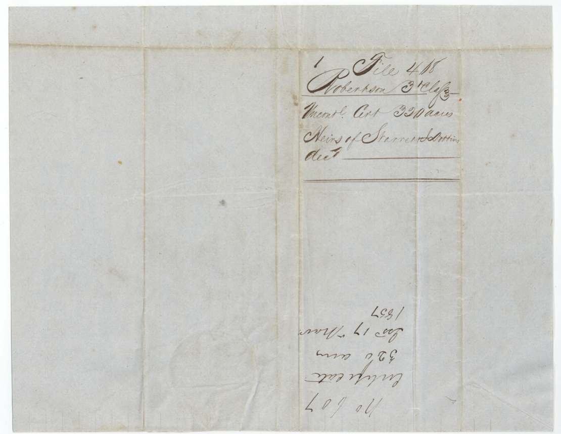
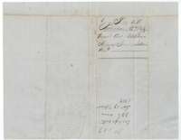 Back of the certificateBack of certificate No. 607, with the Robertson 3rd Class file number and the filing note of 1857.General Land Office, file 468, page 3 · in the scan
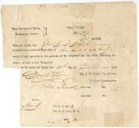 CertificateConditional headright certificate No. 397 for 320 acres, issued to Starrett J. Dobbins by the Washington County land board, 30 December 1839.General Land Office, file 468, page 4 · in the scan
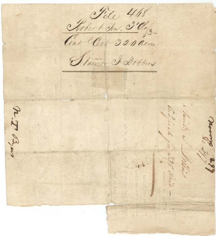
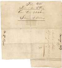 WrapperOld wrapper for the conditional certificate, marked File 468, Robertson 3rd Class, Starrett J. Dobbins, 320 acres.General Land Office, file 468, page 5 · in the scan
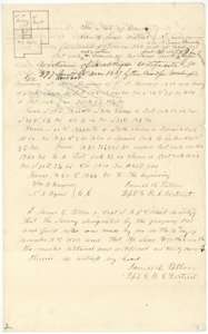 Field notesField notes and plat for 320 acres on Post Oak Creek, Navarro County, surveyed for Starrett J. Dobbins by deputy surveyor James E. Patton, 14 November 1850.General Land Office, file 468, page 6 · in the scan
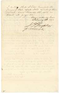 Surveyor's certificateDistrict surveyor J. P. Philpott's certificate that he examined the Dobbins field notes and recorded them in Book M, page 311, 12 February 1851.General Land Office, file 468, page 7 · in the scan
 WrapperBack of the field notes, with the record in Book M, page 311, and the county map check of 1851.General Land Office, file 468, page 8 · in the scan
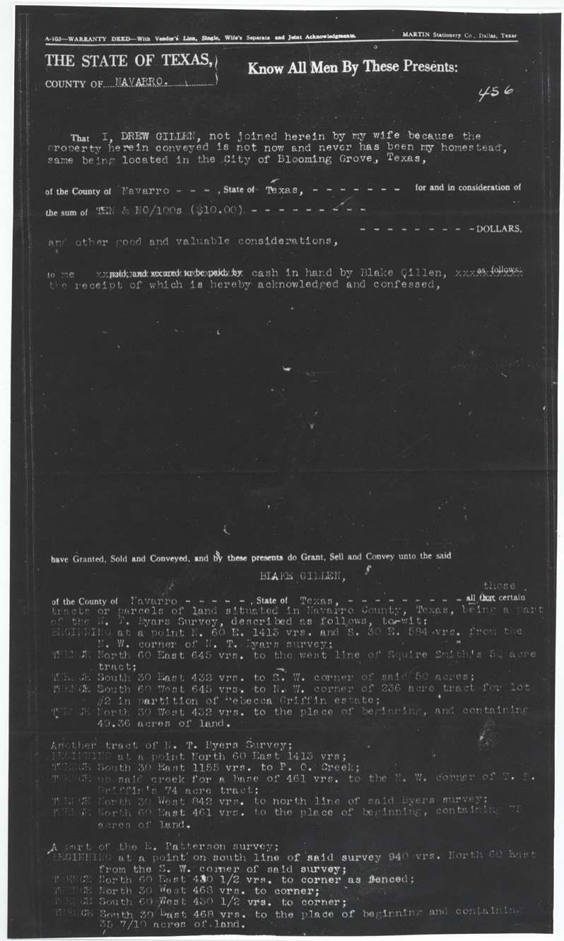
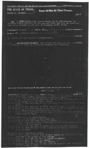 TransferWarranty deed of 28 December 1948 conveying tracts of land near Blooming Grove, filed in this file later as supporting information.General Land Office, file 468, page 9 · in the scan
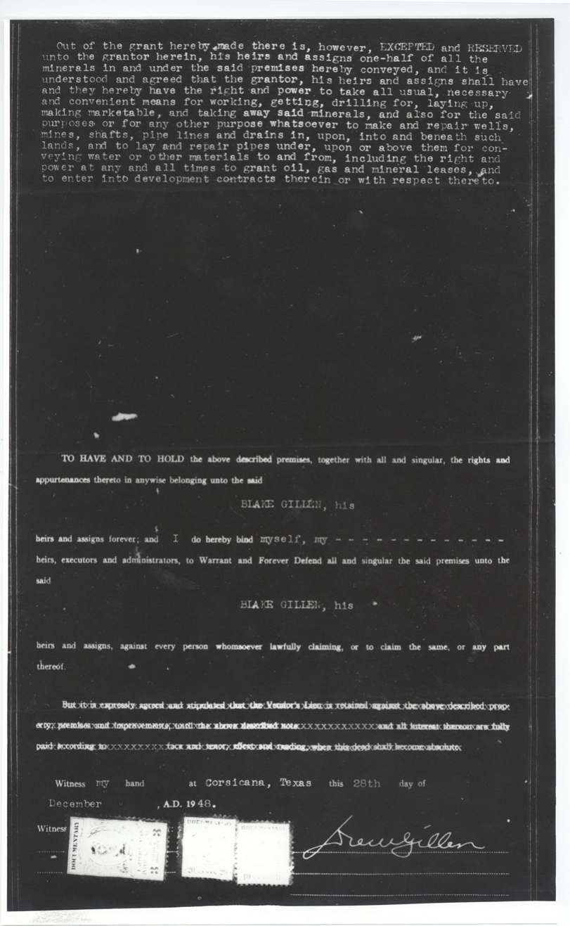
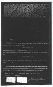 TransferSecond page of the 1948 warranty deed, reserving half the minerals and carrying the grantor's signature and revenue stamps.General Land Office, file 468, page 10 · in the scan
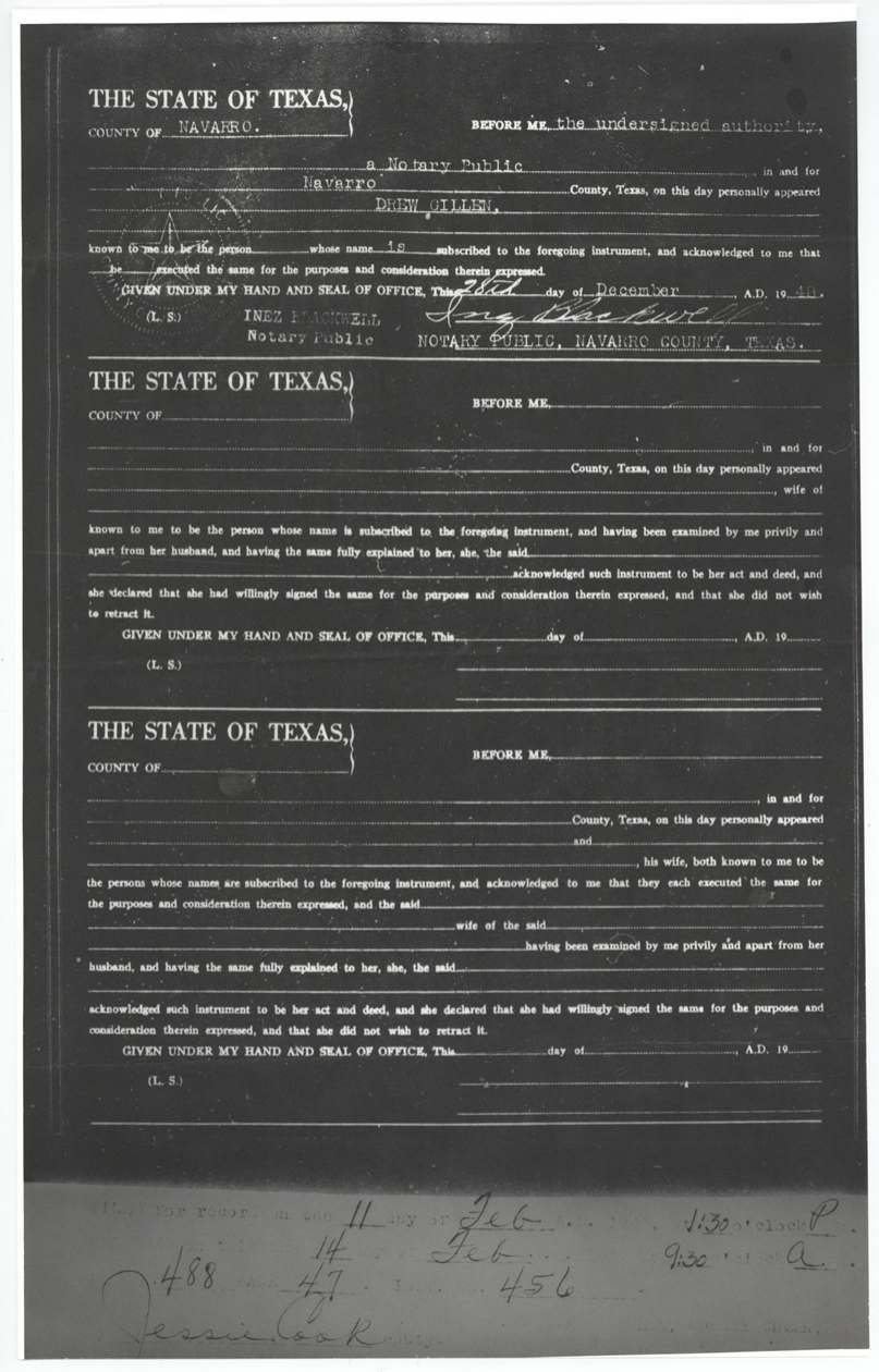
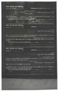 TransferNotary's acknowledgment and county recording stamp for the 1948 warranty deed.General Land Office, file 468, page 11 · in the scan
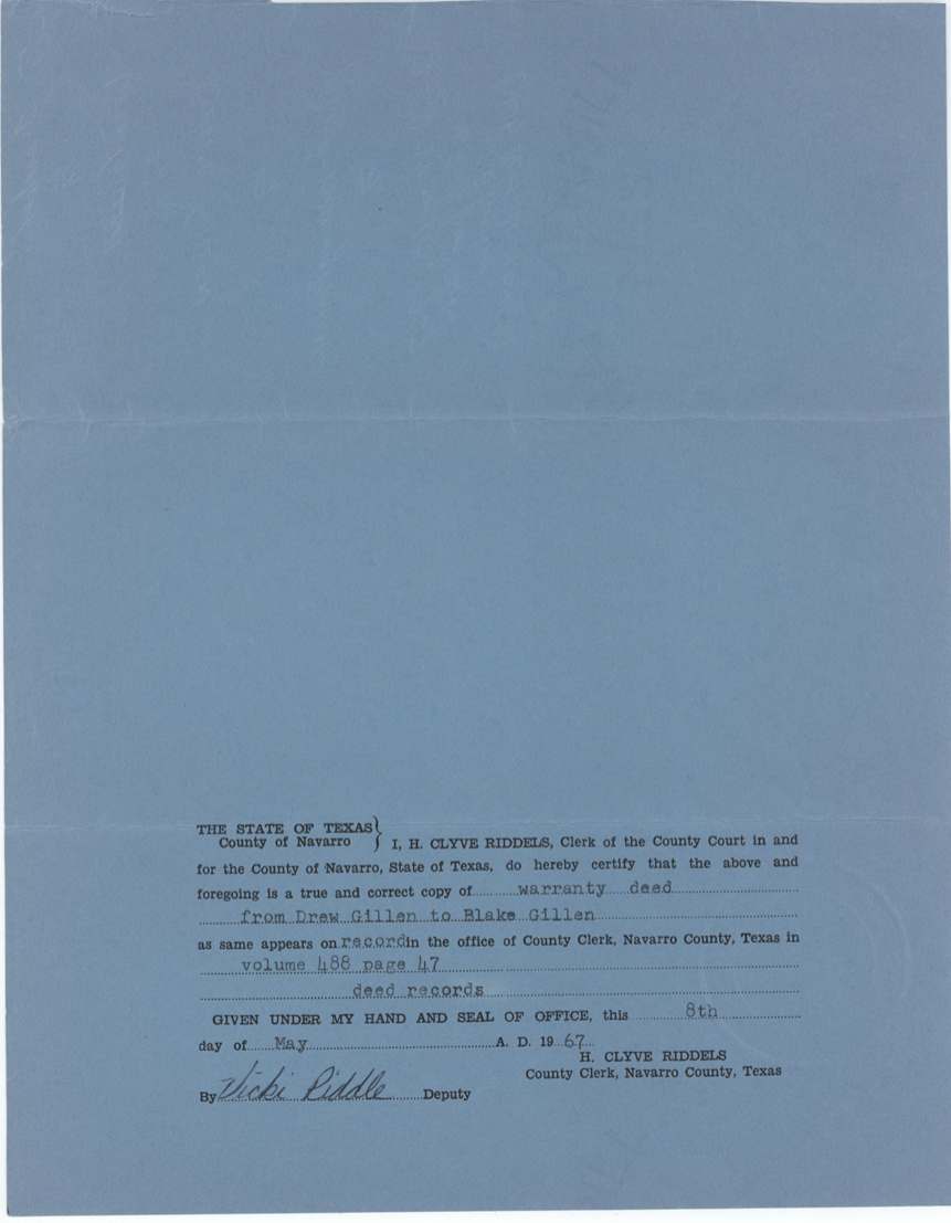
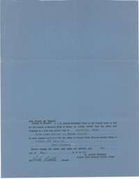 Other papersCounty clerk's certificate, dated 8 May 1967, that the attached 1948 deed is a true copy of the recorded deed.General Land Office, file 468, page 12 · in the scan
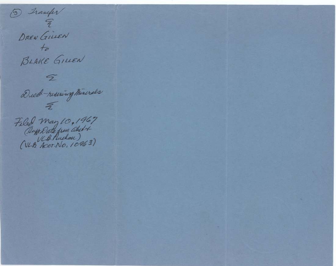
 WrapperWrapper for the 1948 deed, marked Transfer, deed reserving minerals, filed at the Land Office 10 May 1967.General Land Office, file 468, page 13 · in the scan
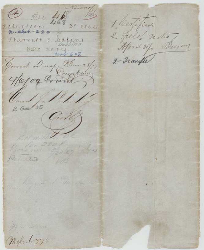
 File jacketOld file jacket for the Dobbins file, listing the certificate, field notes, affidavit and transfer.General Land Office, file 468, page 14 · in the scan
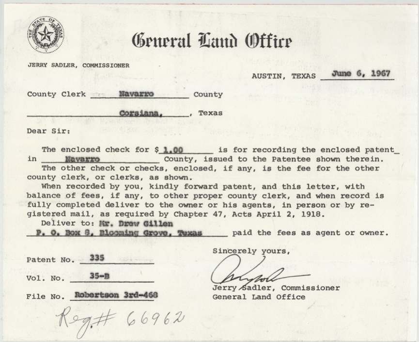
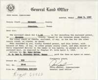 LetterGeneral Land Office letter of 6 June 1967 to the Navarro County clerk sending the patent for recording, Patent No. 335, Volume 35-B.General Land Office, file 468, page 15 · in the scan
 Other papersBack of the Land Office letter, marked as item 5 in the file.General Land Office, file 468, page 16 · in the scan
Scans courtesy of the Texas General Land Office, Austin, from its Land Grant Database.
Neighbouring surveys
Sources
- Texas General Land Office, Land Grant Database: Navarro County, Abstract 220
- The Land Office file, scanned (PDF, at the General Land Office)
- 1924 map: courtesy of the Texas General Land Office, Austin, Map 73249, used under licence. Topo: U.S. Geological Survey, The National Map. Aerial photographs: U.S. Department of Agriculture, National Agriculture Imagery Program, 2012, 2018 and 2022. Survey outlines: Railroad Commission of Texas, Original Texas Land Survey. Grant records and files: Texas General Land Office.