Blackland TX · ← All the original surveys
B. F. Carroll Survey, Abstract 199
- Granted to
- B. F. Carroll
- Kind of grant
- Homestead preemptionLand claimed by a family living on it.
- Land Office file
- Robertson Preemption, file 308
- Acres
- 57.60
- Patent
- Not patented in the Land Office index
Tap a survey to open its page.
What the file shows
B. F. Carroll of Dresden claimed 57.6 acres of vacant land on the waters of Richland Creek, about 13 miles S75W of Corsicana, as a homestead preemption under the acts of 12 Aug 1870 and 24 Mar 1871, swearing he had lived on and improved it with his family since 1 Dec 1868. County Surveyor John W. Irvin surveyed the strip on 2 Jan 1872 between the Crabtree, James George, E. Melton, D. Harlas and J. Knott surveys, and the affidavits (witnesses Jefferson D. Carroll and Benj. C. Clark) were filed in the GLO on 3 Feb 1872. In 1885 the GLO found the survey did not fit its neighbours — possibly leaving no vacancy at all — and demanded correction; no patent appears in the file, and a 1957 note still says corrected field notes are required before patent can issue.
The certificate
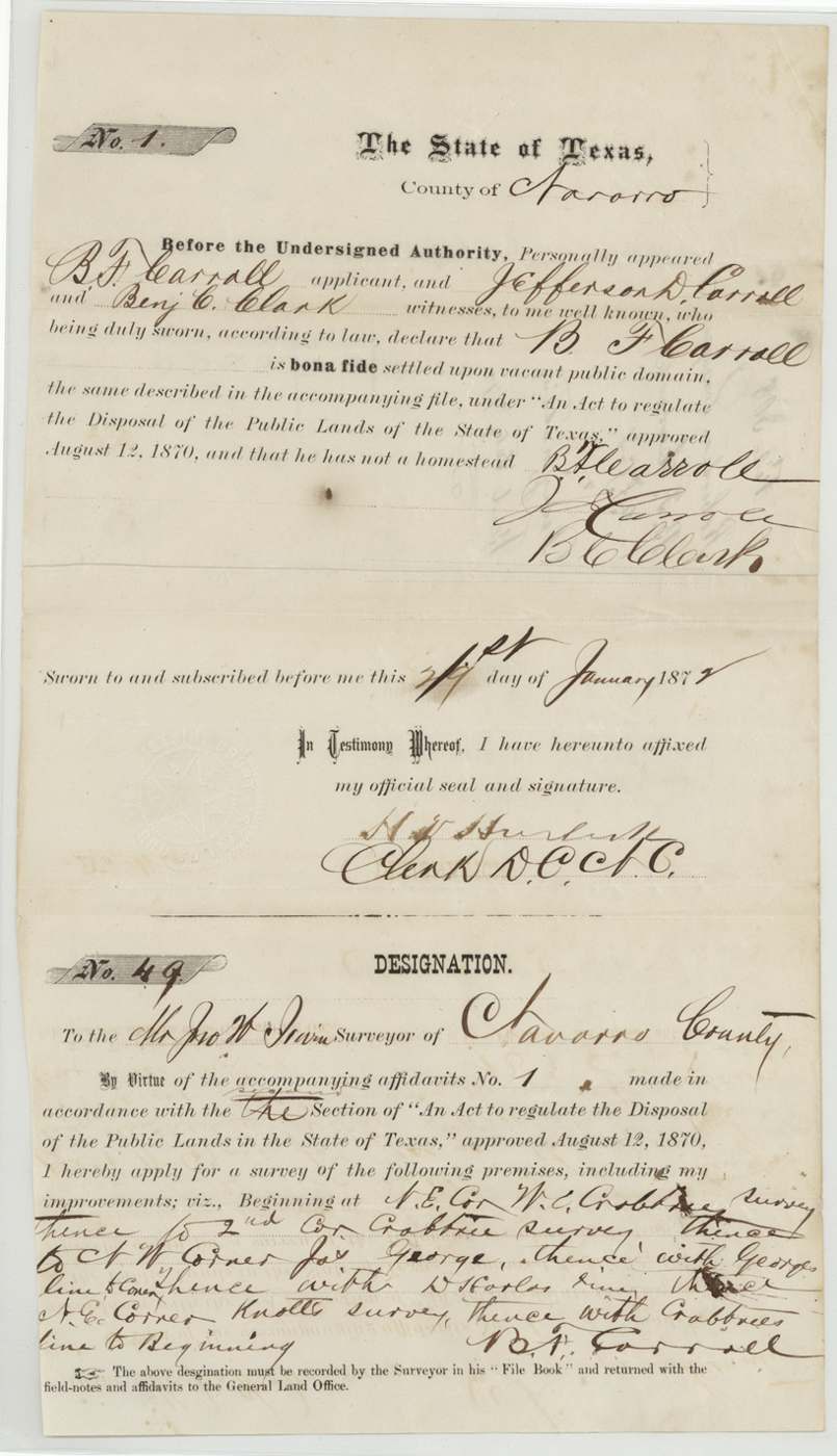
preemption, No. Affidavit No. 1; Designation No. 49, 57 6/10, Navarro County District Clerk (affidavits); application addressed to Jno. W. Irvin, Surveyor of Navarro County, Navarro County, Affidavit sworn 21 Jan 187[2] (last digit overwritten); occupancy affidavit 29 Jan 1872; filed GLO 3 Feb 1872.
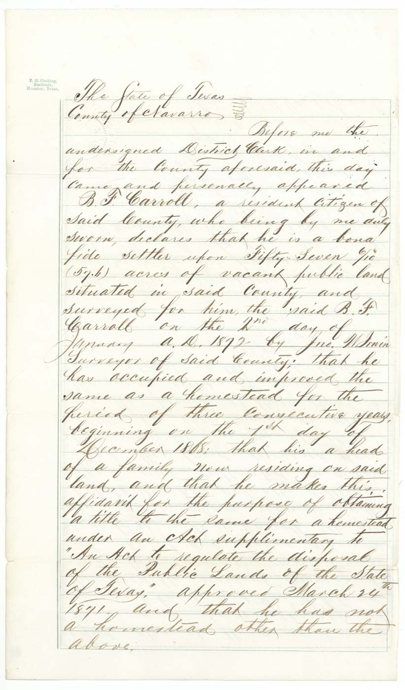
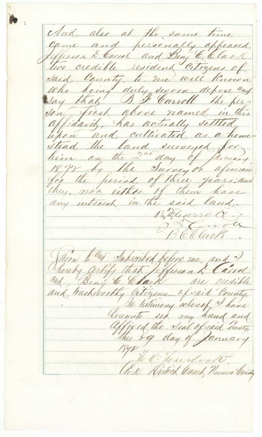
Homestead preemption under 'An Act to regulate the Disposal of the Public Lands of the State of Texas' approved 12 Aug 1870, 2nd section, and the supplementary act approved 24 Mar 1871. B. F. Carroll swore he was a bona fide settler, head of a family residing on the land, had occupied and improved it as a homestead for three consecutive years beginning 1 Dec 1868, and had no other homestead. Witnesses Jefferson D. Carroll and Benj. C. Clark swore he had settled and cultivated it three years and that they had no interest in it.
The survey
Survey made 2 Jan 1872 (per affidavits); surveyor's certificate dated '20th day of July[Jany interlined] A.D. 1872', John W. Irvin.
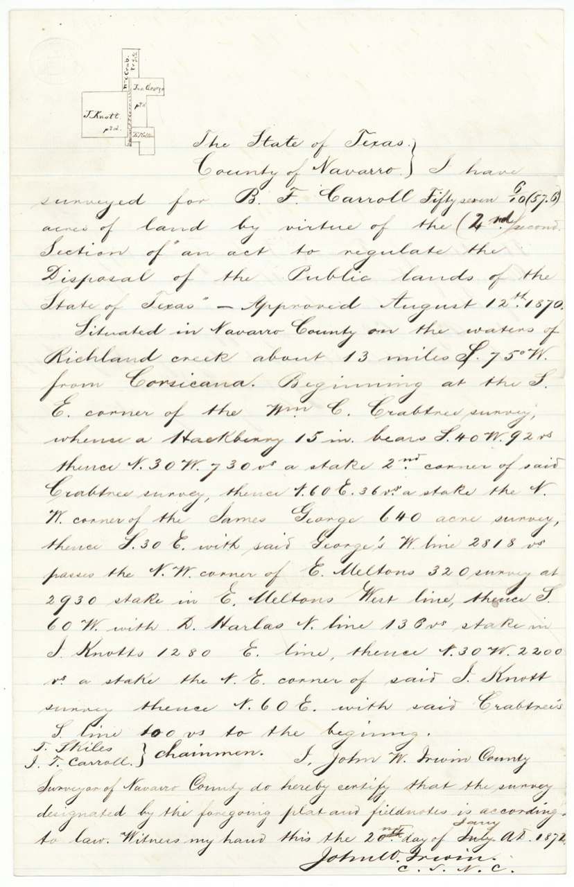
Navarro County 'on the waters of Richland creek about 13 miles S. 75 W. from Corsicana'; begins at SE corner of the Wm. C. Crabtree survey (hackberry 15 in. bears S40W 92 vrs); N30W 730 vrs to 2nd corner Crabtree; N60E 36 vrs to NW corner of James George 640-acre survey; S30E with George's W line 2818 vrs, passing NW corner of E. Melton's 320 survey, at 2930 a stake in E. Melton's west line; S60W with D. Harlas N line 136 vrs to stake in J. Knott's 1280 E line; N30W 2200 vrs to NE corner of J. Knott survey; N60E with Crabtree's S line 100 vrs to beginning
Chain carriers: T. Stiles(?), J. T. Carroll.
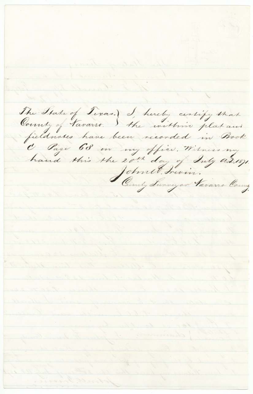
Book C, page 68, Navarro County Surveyor's records (recording certificate dated 20 July A.D. 1871 as written)
Also in the file
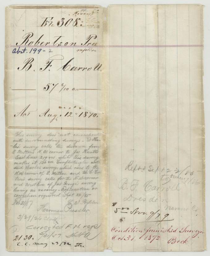
- GLO, 22 Sept 1885: 'This survey does not correspond with surrounding surveys — D. Harlas' survey calls the distance from E. Melton's N.W. corner to Jas Knott's East line 219 vrs while this survey makes it 136 vrs. Conflicting also with said Harlas survey, which runs to the N.W. corner of E. Melton, and W. C. Crabtree's survey calls for the N.W. corner and West line of Jas George's survey leaving no vacancy — Explanation or correction required.'
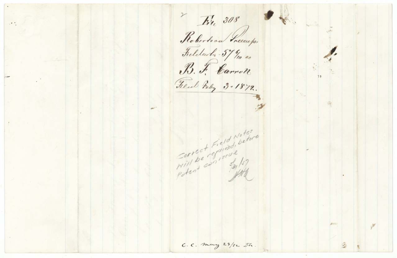
- Still unpatented in 1957: pencil note 5/31/57 says correct field notes will be required before patent can issue
- Surveyor's certificate date 'July' with 'Jany' interlined, 1872; recording certificate says 20 July 1871 — earlier than the 2 Jan 1872 survey date in the affidavits
- Affidavit year on printed form overwritten (187?)
Timeline
- 1 Dec 1868Carroll's three years of homestead occupancy begin (sworn)
- 12 Aug 1870Public lands act (preemption basis)
- 24 Mar 1871Supplementary act cited in occupancy affidavit
- 2 Jan 1872J. W. Irvin surveys 57.6 acres for Carroll (per affidavits)
- 21 Jan 1872Preemption affidavit No. 1 sworn
- 29 Jan 1872Three-year occupancy affidavit sworn before District Clerk
- 3 Feb 1872Papers filed in GLO
- 23 May 1872C.C. (checked/compared) notation
- 31 Oct 1872Condition furnished surveyor (Beck)
- 9 Nov 1879$5.00 (fee) notation
- 22 Sep 1885GLO finds survey conflicts with Harlas/Crabtree/George; explanation required; referred to surveyor
- 21 Feb 1887Notation with Herman Pressler
- 31 May 1957GLO note: corrected field notes required before patent can issue
The papers in the file
Every page of the Land Office file, in the order the Land Office keeps them (9 pages). Tap a page to see it larger.
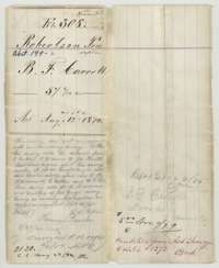 File jacketFile jacket for B. F. Carroll's preemption claim of 57.6 acres on Richland Creek, Navarro County, under the act of 12 August 1870.General Land Office, file 308, page 1 · in the scan
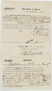 AffidavitHomestead preemption affidavit of B. F. Carroll, sworn 21 January 1872, with his designation to Navarro County surveyor John W. Irvin for the land he occupied.General Land Office, file 308, page 2 · in the scan
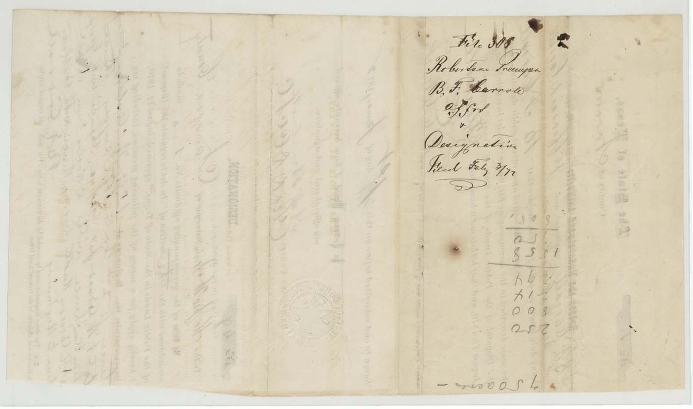
 WrapperWrapper for B. F. Carroll's affidavit and designation, filed in the Land Office 3 February 1872.General Land Office, file 308, page 3 · in the scan
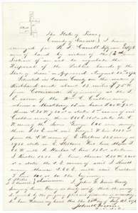 Field notesField notes and plat for 57.6 acres on Richland Creek, surveyed for B. F. Carroll by county surveyor John W. Irvin on 2 January 1872.General Land Office, file 308, page 4 · in the scan
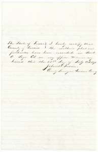 Surveyor's certificateCounty surveyor John W. Irvin's certificate that the Carroll plat and field notes were recorded in Book C, page 68.General Land Office, file 308, page 5 · in the scan
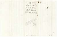 WrapperField-notes wrapper for B. F. Carroll's 57.6 acres, filed 3 February 1872, with a later note that corrected field notes would be required.General Land Office, file 308, page 6 · in the scan
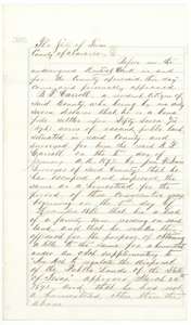 AffidavitFirst page of B. F. Carroll's affidavit of 29 January 1872 that he had occupied and improved the land as a homestead for three years from December 1868.General Land Office, file 308, page 7 · in the scan
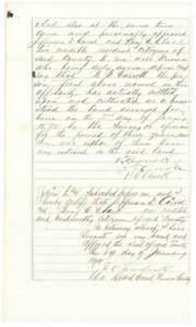 AffidavitSecond page of the occupancy affidavit, in which witnesses Jefferson D. Carroll and Benjamin C. Clark swear to Carroll's three years of settlement, 29 January 1872.General Land Office, file 308, page 8 · in the scan
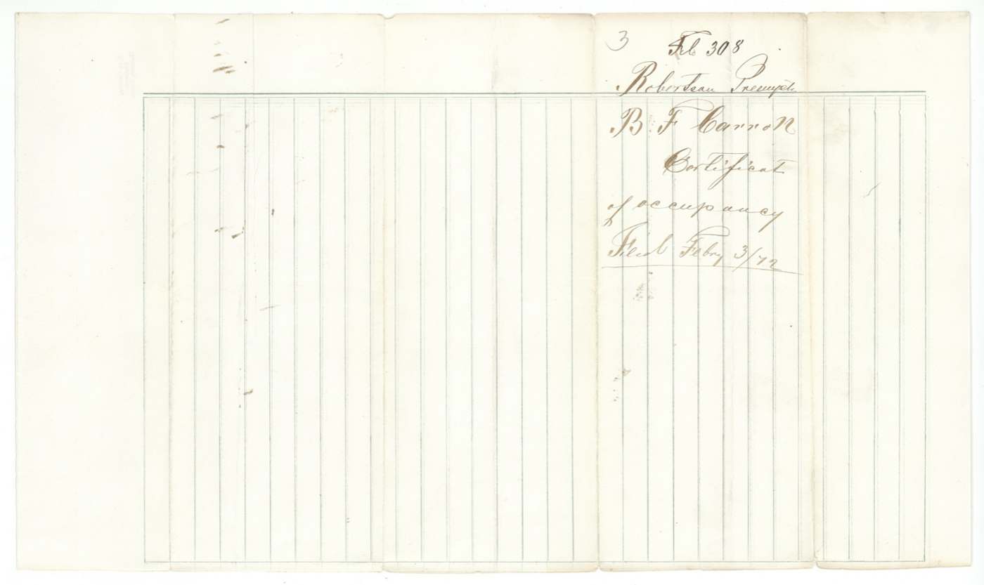
 WrapperWrapper for B. F. Carroll's certificate of occupancy, filed in the Land Office 3 February 1872.General Land Office, file 308, page 9 · in the scan
Scans courtesy of the Texas General Land Office, Austin, from its Land Grant Database.
Neighbouring surveys
Sources
- Texas General Land Office, Land Grant Database: Navarro County, Abstract 199
- The Land Office file, scanned (PDF, at the General Land Office)
- 1924 map: courtesy of the Texas General Land Office, Austin, Map 73249, used under licence. Topo: U.S. Geological Survey, The National Map. Aerial photographs: U.S. Department of Agriculture, National Agriculture Imagery Program, 2012, 2018 and 2022. Survey outlines: Railroad Commission of Texas, Original Texas Land Survey. Grant records and files: Texas General Land Office.