Blackland TX · ← All the original surveys
Daniel Harlos Survey, Abstract 380
- Granted to
- Daniel Harlos
- Kind of grant
- Headright, third classLand for later settlers, including the colonists of Mercer’s Colony.
- Land Office file
- Robertson 3rd class, file 844
- Certificate
- No. 1226
- Acres
- 39
- Patented to
- Ethan Milton
- Patent
- 14 Dec 1855 · No. 599, Vol. 12
Tap a survey to open its page.
What the file shows
Daniel Harlas received Mercer's Colony certificate No. 1226 for 320 acres at Corsicana on 24 April 1851 and, by his mark, sold it the same day to Ethan Melton of Navarro County. In September 1851 the certificate was located in two pieces: 281 acres on the North Fork of Richland Creek about 21 1/2 miles SW of Corsicana (surveyed by J. M. Eliot, now Hill County abstract 381) and 39 acres on the waters of Post Oak Creek, about 13 miles SW of Corsicana, adjoining E. Melton's 320-acre survey and the Byers survey (surveyed by D. R. Mitchell with J. and E. Melton as chain carriers). Both were recorded in the Robertson District, filed in the GLO in June 1853, and patented to Ethan Milton [Melton], assignee, on 14 December 1855.
The certificate
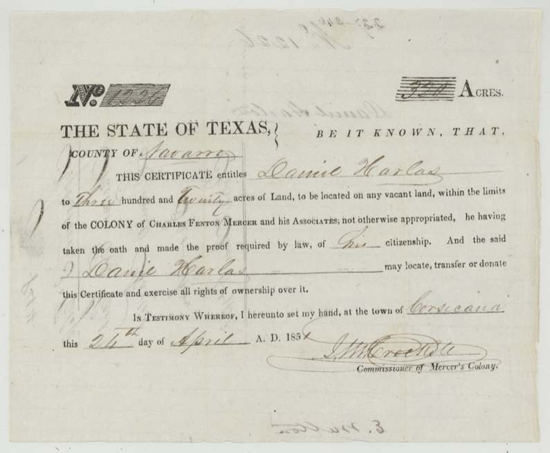
No. 1226, 320 acres, J. M. (John M.) Crockett, Commissioner of Mercer's Colony, Town of Corsicana, Navarro County, 24 Apr 1851.
Mercer's Colony colonist certificate entitling Daniel Harlas to 320 acres of vacant land within the colony, 'he having taken the oath and made the proof required by law of his citizenship'. 320 acres implies a single man under the colony terms, but the certificate does not say so.
Changes of hand
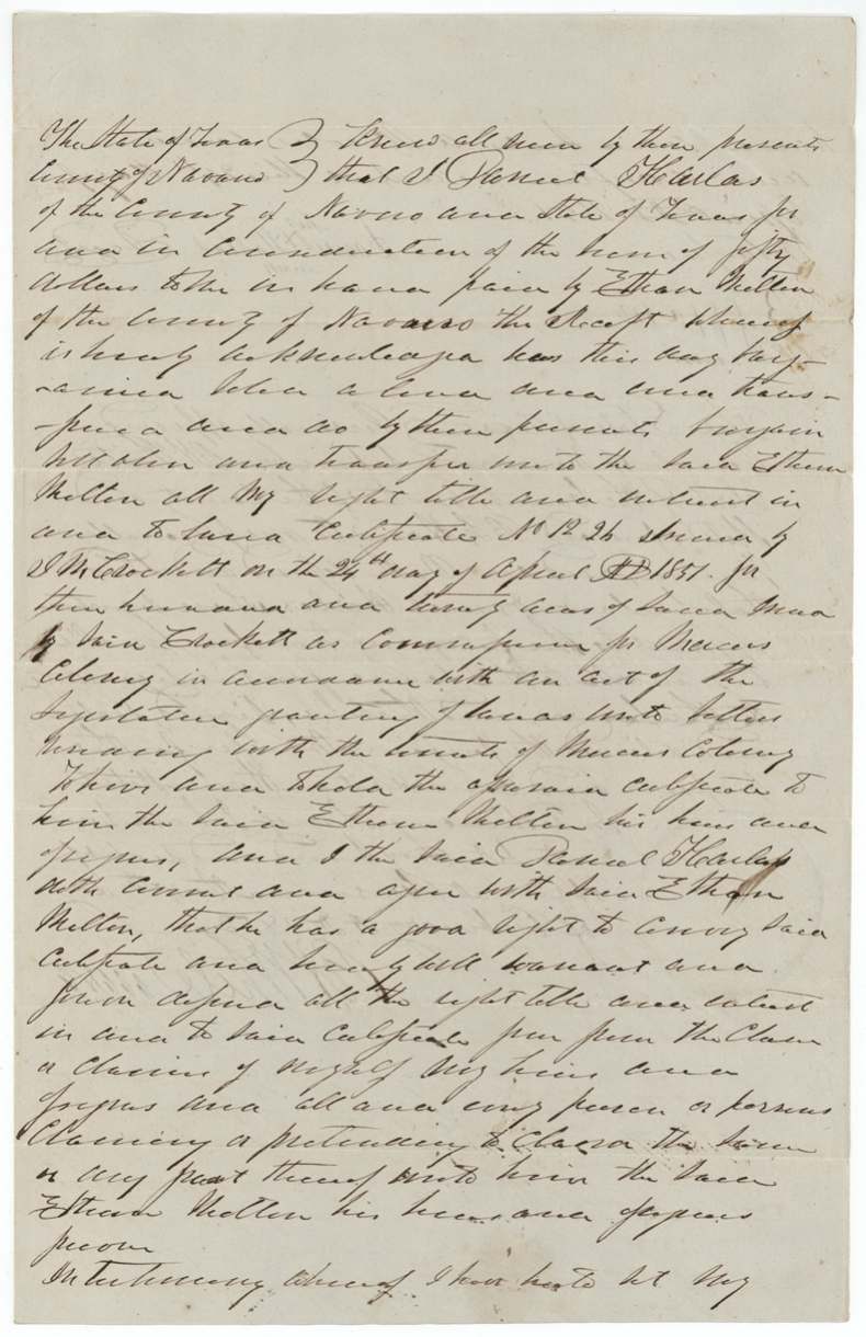
- 24 Apr 1851Daniel Harlas (his mark), of Navarro County → Ethan Melton, of Navarro County, $50 ('fifty dollars', best reading), Navarro County. Sold the same day the certificate was issued. Warranty deed; seal by scroll. Filed GLO 6 June 1853. Grantee spelled 'Ethan Melton' in deed; GLO index spells 'Milton'.
The survey
4 Sep 1851, D. R. Mitchell.
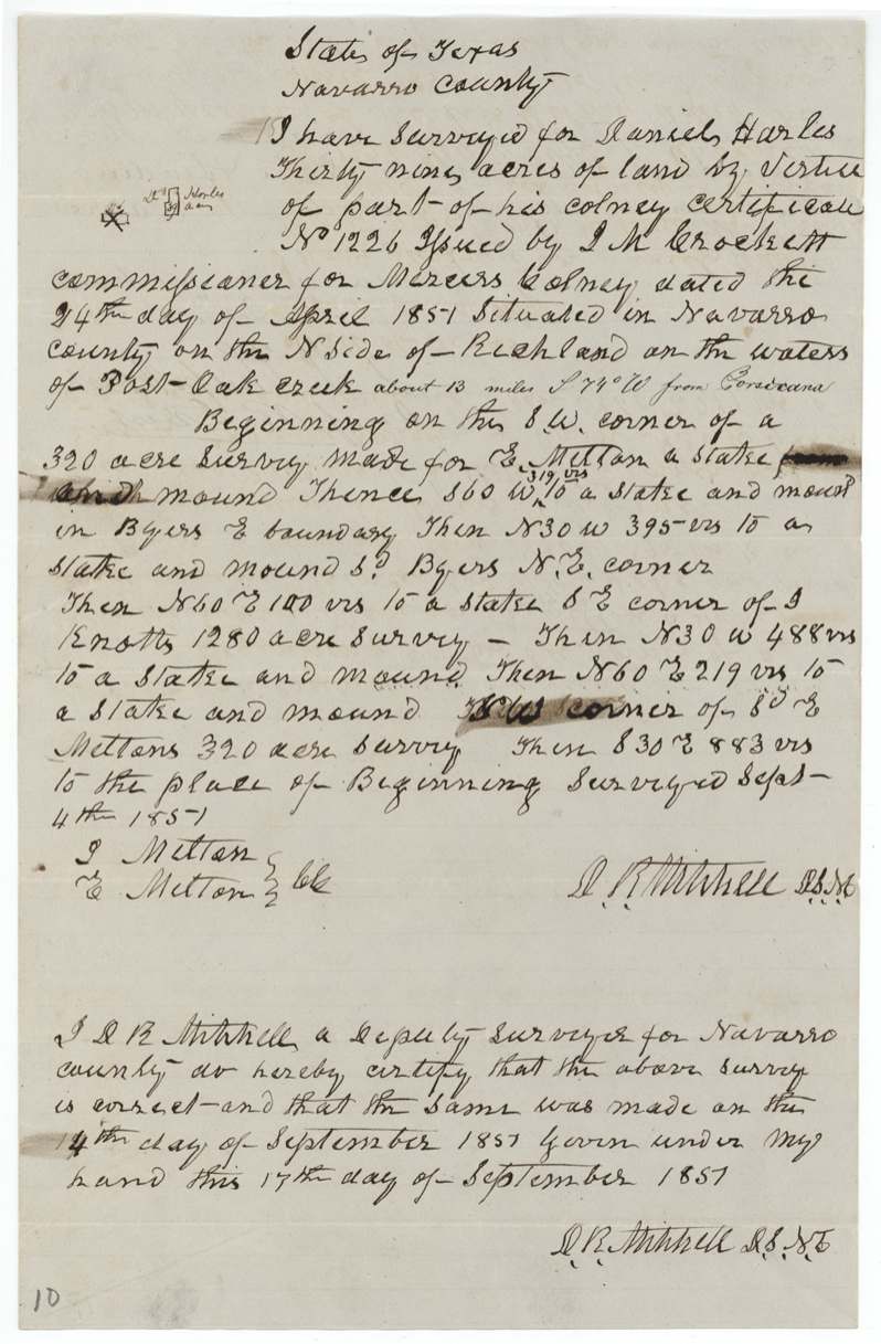
39 acres 'by virtue of part of his colony certificate No. 1226 ... situated in Navarro County on the N side of Richland on the waters of Post Oak Creek about 13 miles S 74 W from Corsicana'. Beginning at the S.W. corner of a 320-acre survey made for E. Melton, stake and mound; S 60 W 319 vrs to stake and mound in Byers' E boundary; N 30 W 395 vrs to Byers' N.E. corner; N 60 E 100 vrs to stake, S.E. corner of J. Knotts' (?) 1280-acre survey; N 30 W 488 vrs to stake and mound; N 60 E 219 vrs to [N.W.] corner of E. Melton's 320-acre survey; S 30 E 883 vrs to beginning.
Chain carriers: J. Melton, E. Melton.
Robertson District Book I (J?) p. 88
The survey
1 Sep 1851, J. M. Eliot (Elliot).
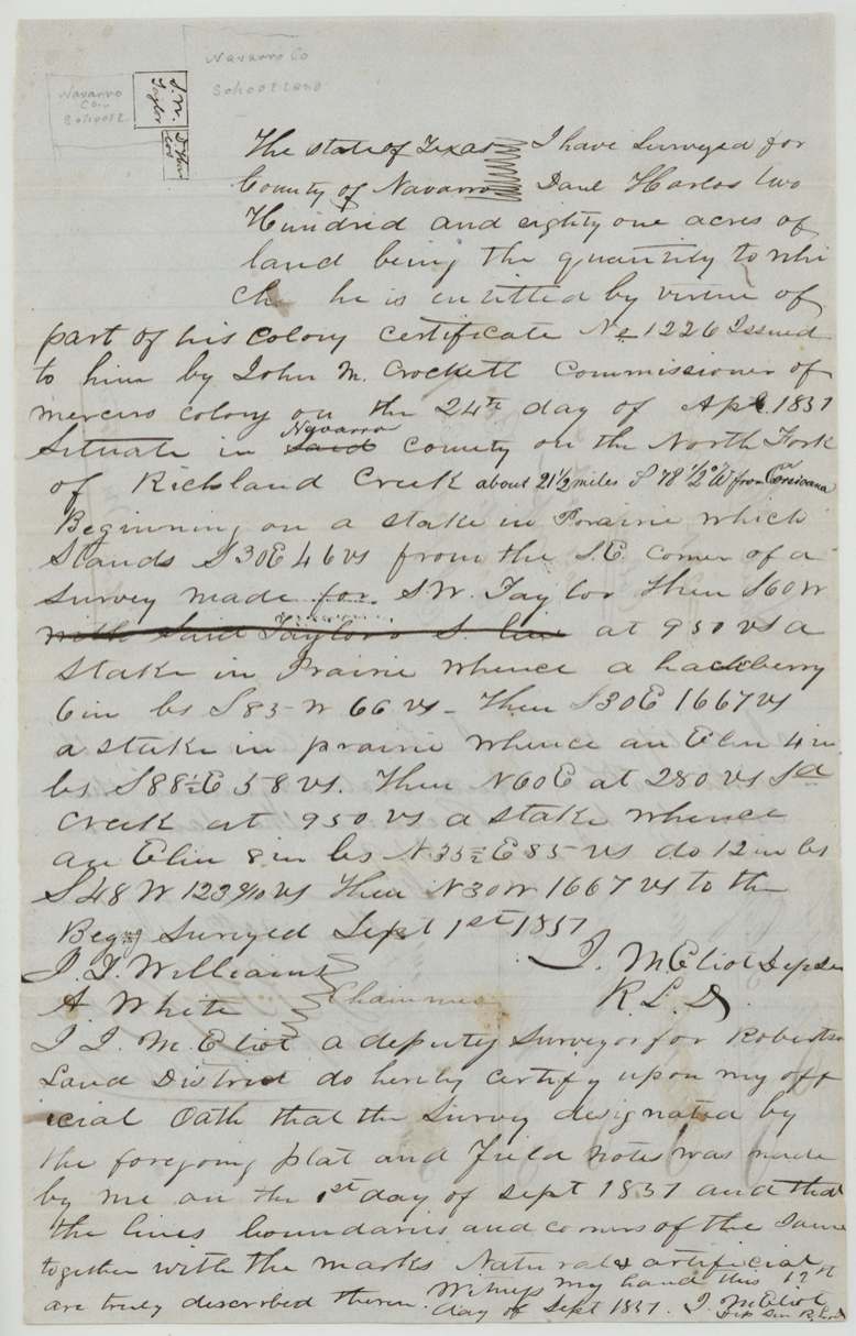
281 acres 'being the quantity to which he is entitled by virtue of part of his Colony certificate No. 1226 ... situate in Navarro County on the North Fork of Richland Creek about 21 1/2 miles S 78 1/2 W from Corsicana'. Beginning on a stake in prairie S 30 E 46 vrs from the S.E. corner of a survey made for S. W. Taylor; S 60 W at 950 vrs stake in prairie (hackberry); S 30 E 1667 vrs (elm); N 60 E at 280 vrs said creek, at 950 vrs stake (elms); N 30 W 1667 vrs to beginning.
Chain carriers: J. J. Williams(?), A. White.
Robertson District Book I (J?) p. 249
The patent
14 Dec 1855, S.S. No. 599 and L.S. No. 600, Vol. 12, to Ethan Milton [Melton], assignee, delivered to Elgin.
Also in the file
- Certificate issued and sold to Ethan Melton on the same day, 24 April 1851.
- GLO indexes the patentee as 'Milton'; the deed and wrappers say 'Melton'.
- The two surveys from one certificate lie ~8 miles apart and are now in two counties (Navarro 380, Hill 381).
- Surveyor D. R. Mitchell's certificate has '14th' where the field notes say surveyed Sept 4th 1851.
Timeline
- 24 Apr 1851Mercer Colony certificate No. 1226 (320 ac) issued to Daniel Harlas at Corsicana; same day Harlas (by mark) sells it to Ethan Melton
- 1 Sep 1851J. M. Eliot surveys 281 acres on North Fork of Richland Creek (now Hill Co.)
- 4 Sep 1851D. R. Mitchell surveys 39 acres on Post Oak Creek waters, Melton brothers(?) carrying chain
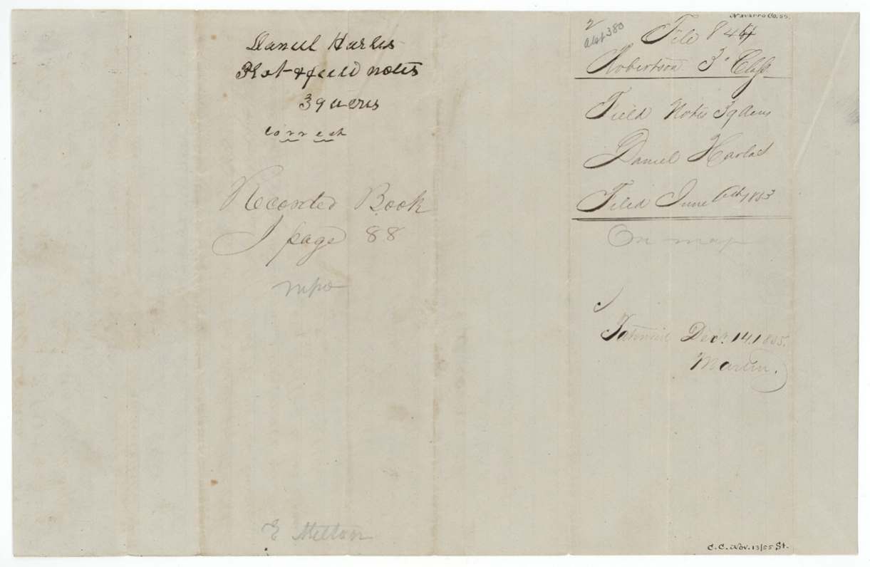
- 24 Oct 185139-acre notes recorded Robertson District Book I p. 88
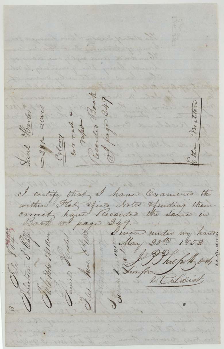
- 20 May 1852281-acre notes recorded Book I p. 249
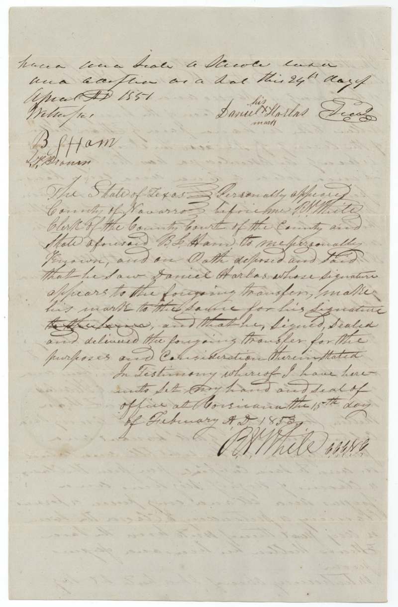
- 15 Feb 1853Deed proved by B. L. Ham before R. W. White, Corsicana
- 6 Jun 1853Papers filed in GLO
- 14 Dec 1855Both surveys patented to Ethan Milton [Melton], assignee
The papers in the file
Every page of the Land Office file, in the order the Land Office keeps them (11 pages). Tap a page to see it larger.
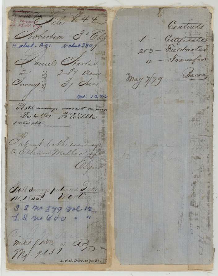
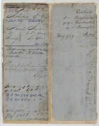 File jacketFile jacket for the Robertson Third Class file of Daniel Harlas, listing the certificate, two sets of field notes and a transfer; patented 14 December 1855.General Land Office, file 844, page 1 · in the scan
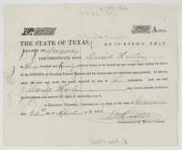 CertificateMercer's Colony certificate No. 1226 for 320 acres, issued at Corsicana on 24 April 1851 by Commissioner John M. Crockett to Daniel Harlas.General Land Office, file 844, page 2 · in the scan
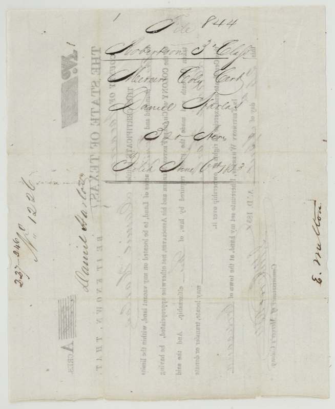
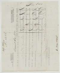 Back of the certificateBack of the colony certificate, endorsed with the names of Daniel Harlas and Ethan Melton and marked filed 6 June 1853.General Land Office, file 844, page 3 · in the scan
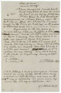 Field notesField notes for 39 acres on Post Oak Creek waters, surveyed for Daniel Harlas by deputy surveyor D. R. Mitchell on 4 September 1851.General Land Office, file 844, page 4 · in the scan
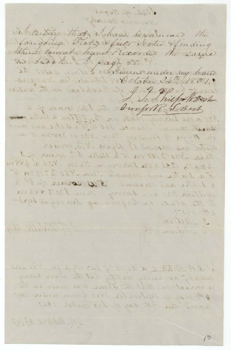
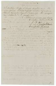 Surveyor's certificateCertificate of District Surveyor J. P. Philpott, 24 October 1851, that he examined the 39-acre field notes and recorded them in Book I, page 88.General Land Office, file 844, page 5 · in the scan
 File jacketJacket for the 39-acre field notes of Daniel Harlas, marked correct and recorded in Book I, page 88.General Land Office, file 844, page 6 · in the scan
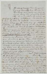 Field notesField notes for 281 acres on the North Fork of Richland Creek, surveyed for Daniel Harlas by deputy surveyor J. M. Eliot on 1 September 1851.General Land Office, file 844, page 7 · in the scan
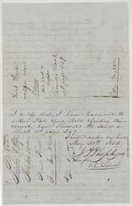 Surveyor's certificateCertificate of District Surveyor J. P. Philpott, 20 May 1852, that the 281-acre field notes are correct and recorded in Book I, page 249.General Land Office, file 844, page 8 · in the scan
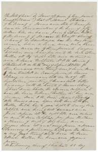 TransferDeed in which Daniel Harlas of Navarro County sells his colony certificate to Ethan Melton for fifty dollars, dated 24 April 1851.General Land Office, file 844, page 9 · in the scan
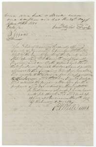 TransferClose of the deed from Daniel Harlas to Ethan Melton, with proof of signature before the county court clerk at Corsicana on 15 February 1853.General Land Office, file 844, page 10 · in the scan
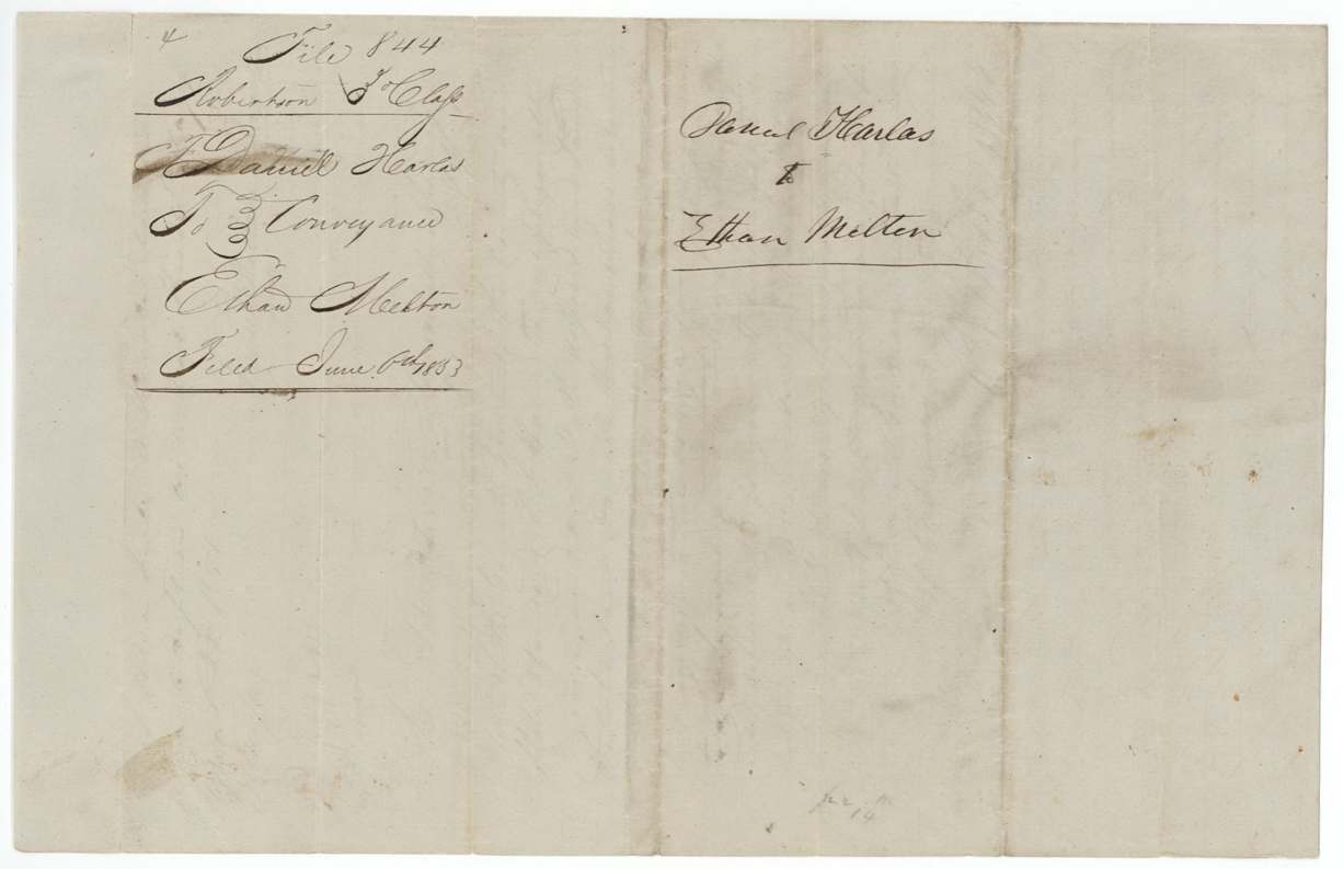
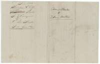 File jacketJacket for the conveyance from Daniel Harlas to Ethan Melton, filed 6 June 1853.General Land Office, file 844, page 11 · in the scan
Scans courtesy of the Texas General Land Office, Austin, from its Land Grant Database.
Neighbouring surveys
Sources
- Texas General Land Office, Land Grant Database: Navarro County, Abstract 380
- The Land Office file, scanned (PDF, at the General Land Office)
- 1924 map: courtesy of the Texas General Land Office, Austin, Map 73249, used under licence. Topo: U.S. Geological Survey, The National Map. Aerial photographs: U.S. Department of Agriculture, National Agriculture Imagery Program, 2012, 2018 and 2022. Survey outlines: Railroad Commission of Texas, Original Texas Land Survey. Grant records and files: Texas General Land Office.