Blackland TX · ← All the original surveys
James Meredith Survey, Abstract 511
- Granted to
- James Meredith
- Kind of grant
- Headright, first classLand for settlers who were in Texas before independence, 2 March 1836.
- Land Office file
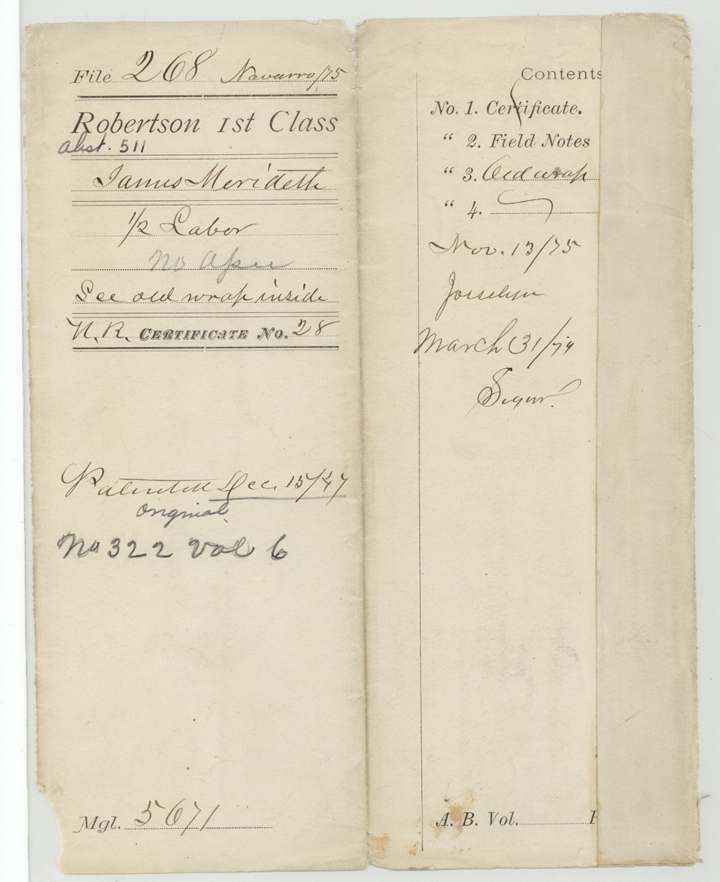
- Robertson 1st class, file 268
- Certificate
- No. 28
- Acres
- 88.55
- Patented to
- James Meredith
- Patent
- 15 Dec 1847 · No. 322, Vol. 6
Tap a survey to open its page.
What the file shows
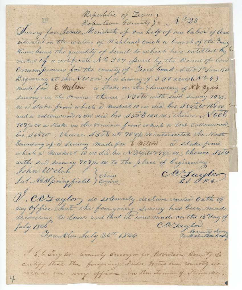
James Meredith received headright certificate No. 307 from the Fort Bend County land board on 7 June 1838, and part of it — half a labor — was laid on Richland Creek in what is now Navarro County. Robertson County surveyor C. C. Taylor ran the lines on 15 July 1844, starting at E. Melton's corner on N. T. Byars's line, with John Welch and Jas. M. Springfield carrying chain. Because the land lay inside Mercer's Colony, Taylor certified in 1846 that he had surveyed it before he knew of Mercer's contract, and the Land Office passed it. Meredith was patented on 15 December 1847 (No. 322, Vol. 6), and the patent was handed to John Welch the next day.
The certificate
headright 1st class (part — one-half labor), No. 307, one-half labor (no acreage stated in file), Board of Land Commissioners for the county of Fort Bend, Fort Bend County, 7 Jun 1838.
Not stated in this file — the certificate itself is not here; the wrapper says 'For certificate see file 265, Robertson C. 1st class'. Surveyor calls the land 'part of the head right of James Merideth'.
The survey
1844-07-15 (oath sworn at Franklin 1844-07-26), C. C. Taylor.
Republic of Texas, Robertson County [now Navarro]: on the waters of Richland Creek, a branch of the Trinity River, in the prairie
Chain carriers: John Welch, Jas. M. Springfield.
Book H, p. 169(?), County Surveyor's office
The patent
15 Dec 1847, No. 322, Vol. 6, to James Meredith, delivered to John Welch, 16 Dec 1847.
Also in the file
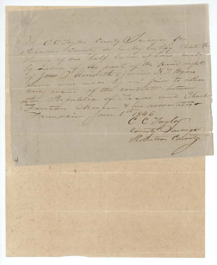
- The survey fell inside Mercer's Colony, the land the Republic had contracted to Charles Fenton Mercer; the surveyor had to swear in 1846 that he made it before he knew of that contract, and the Land Office passed it as 'in Mercer's Colony, otherwise correct'.
- The certificate was issued in Fort Bend County on the coast but located far up Richland Creek; only half a labor was used here and the certificate itself sits in another file (265).
- The Land Office fee of three dollars was paid in the Republic's own promissory notes (paper money).
- The name is spelled Meredith, Merideth and Meridith across the papers.
Timeline
- 7 Jun 1838Fort Bend County Board of Land Commissioners issues headright certificate No. 307 to James Meredith
- 15 Jul 1844C. C. Taylor surveys half a labor on Richland Creek for Meredith, between E. Melton and N. T. Byars (Survey No. 28)
- 26 Jul 1844Taylor swears to the survey at Franklin
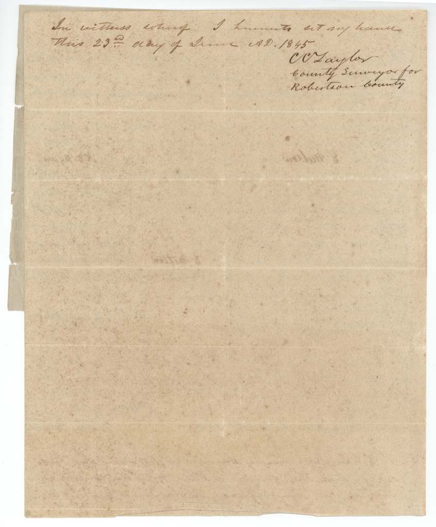
- 23 Jun 1845Taylor certifies the field notes recorded at Franklin
- 1 Jun 1846Taylor certifies the survey was made before notice of the Mercer contract
- Feb 1847Land Office checks map: 'In Mercer's Colony, otherwise correct'
- 15 Dec 1847Patent No. 322, Vol. 6, to James Meredith
- 16 Dec 1847Patent delivered to John Welch, the chain carrier
The papers in the file
Every page of the Land Office file, in the order the Land Office keeps them (7 pages). Tap a page to see it larger.
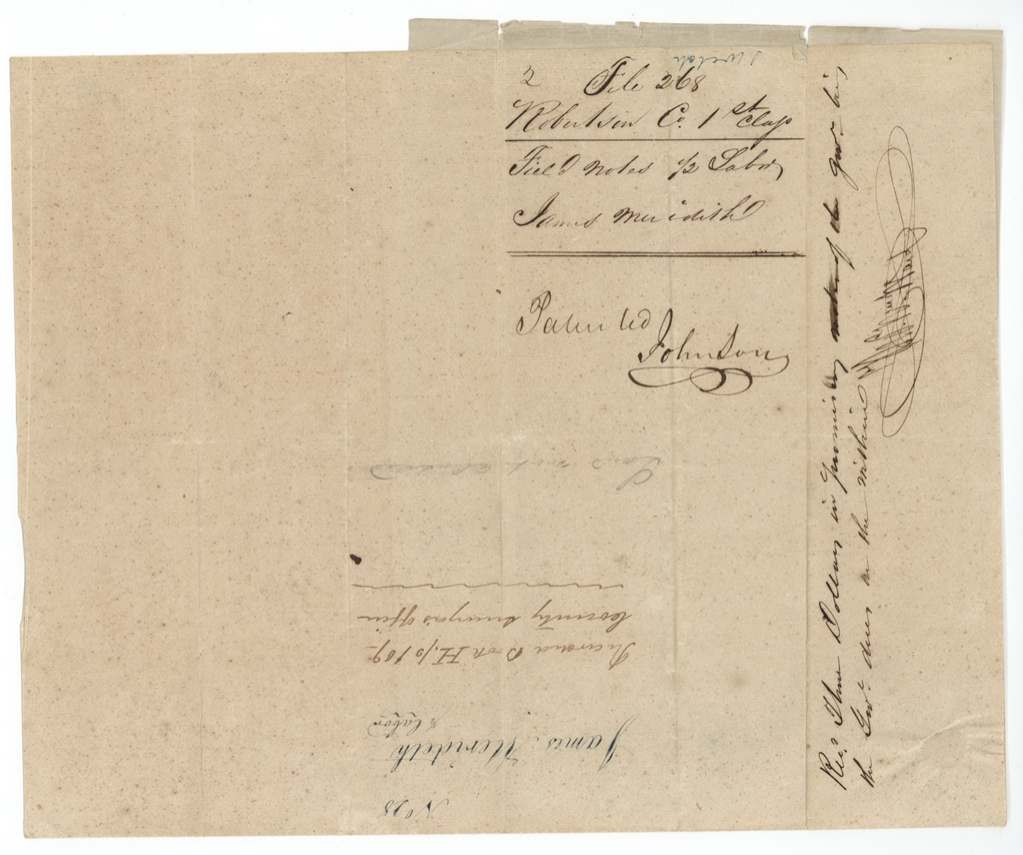
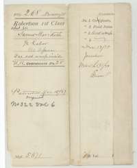 File jacketFile jacket for the Robertson First Class file of James Meredith, half a labor of land, patented 15 December 1847 as No. 322, Volume 6.General Land Office, file 268, page 1 · in the scan
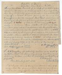 Field notesField notes for half a labor on Richland Creek, made for James Meredith by County Surveyor C. C. Taylor on 15 July 1844 and sworn 26 July 1844.General Land Office, file 268, page 2 · in the scan
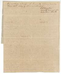 Surveyor's certificateClosing lines of the Meredith field notes, with C. C. Taylor's signature of 23 June 1845 that they are recorded in his office.General Land Office, file 268, page 3 · in the scan
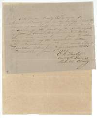 Surveyor's certificateCertificate of C. C. Taylor, Franklin, 1 June 1846, that the survey was made before he had notice of the colony contract with Charles Fenton Mercer.General Land Office, file 268, page 4 · in the scan
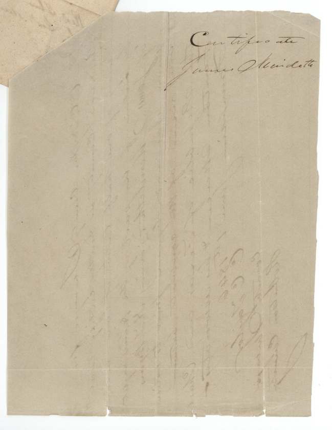
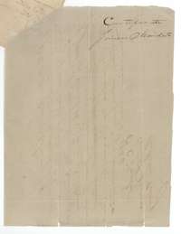 File jacketEmpty jacket marked as the certificate of James Meredith.General Land Office, file 268, page 5 · in the scan
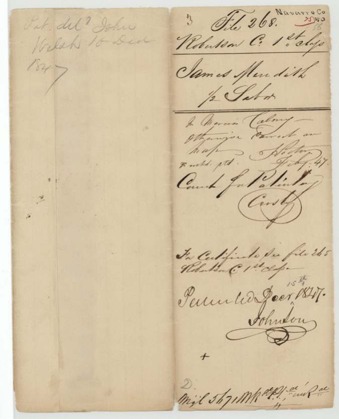
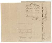 File jacketJacket for the field notes of James Meredith, marked patented 15 December 1847.General Land Office, file 268, page 6 · in the scan
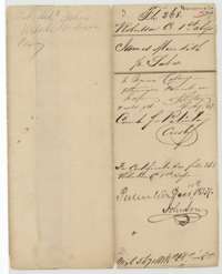 WrapperOld wrapper for the Meredith file, noting the land lies in Mercer's Colony, the patent of 15 December 1847 and its delivery on 16 December 1847.General Land Office, file 268, page 7 · in the scan
Scans courtesy of the Texas General Land Office, Austin, from its Land Grant Database.
Neighbouring surveys
Sources
- Texas General Land Office, Land Grant Database: Navarro County, Abstract 511
- The Land Office file, scanned (PDF, at the General Land Office)
- 1924 map: courtesy of the Texas General Land Office, Austin, Map 73249, used under licence. Topo: U.S. Geological Survey, The National Map. Aerial photographs: U.S. Department of Agriculture, National Agriculture Imagery Program, 2012, 2018 and 2022. Survey outlines: Railroad Commission of Texas, Original Texas Land Survey. Grant records and files: Texas General Land Office.