Blackland TX · ← All the original surveys
Buckner Melton Survey, Abstract 542
- Granted to
- Buckner Melton
- Kind of grant
- Headright, third classLand for later settlers, including the colonists of Mercer’s Colony.
- Land Office file
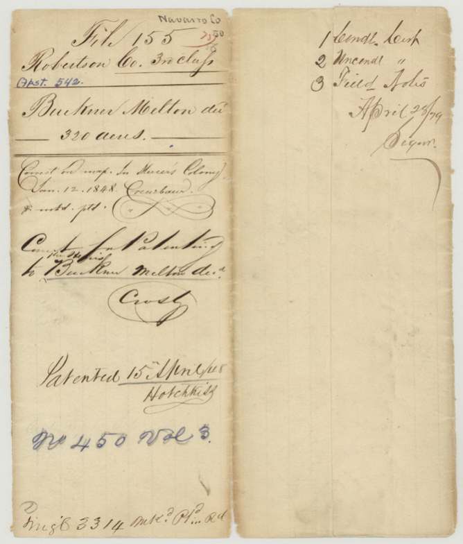
- Robertson 3rd class, file 155
- Acres
- 320
- Patented to
- Heirs of Buckner Melton
- Patent
- 15 Apr 1848 · No. 450, Vol. 3
Tap a survey to open its page.
What the file shows
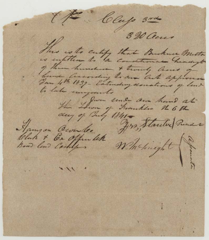
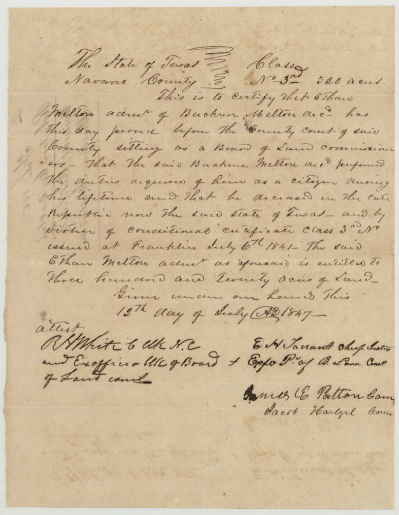
Buckner Melton was given a conditional third-class headright for 320 acres at Franklin on 6 July 1841. D. R. Mitchell surveyed it on 25 October 1844, a 1,344-vara square on N. T. Byars' east line, the same day he surveyed Eliel Melton's donation tract. Buckner died while Texas was still a republic, and on 12 July 1847 his brother Ethan, as administrator, proved to the Navarro County court that Buckner had done his duty as a citizen, which made the certificate unconditional. It was patented to his heirs on 15 April 1848.
The certificate
Headright, third class, 320 acres, Board of Land Commissioners, Robertson County, Franklin, 6 Jul 1841 (conditional); 12 Jul 1847 (unconditional, Navarro County Court).
Act of 4 January 1839 extending donations of land to late emigrants. In 1847 Ethan Melton, administrator, proved Buckner had performed the duties of a citizen and had died in the Republic.
The survey
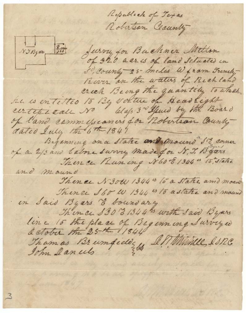
25 Oct 1844, D. R. Mitchell, Deputy Surveyor, Robertson County.
25 miles west of the Trinity River on the waters of Richland Creek; begins at the SE corner of N. T. Byars' survey
Chain carriers: Thomas Brumfield, John Daniels.
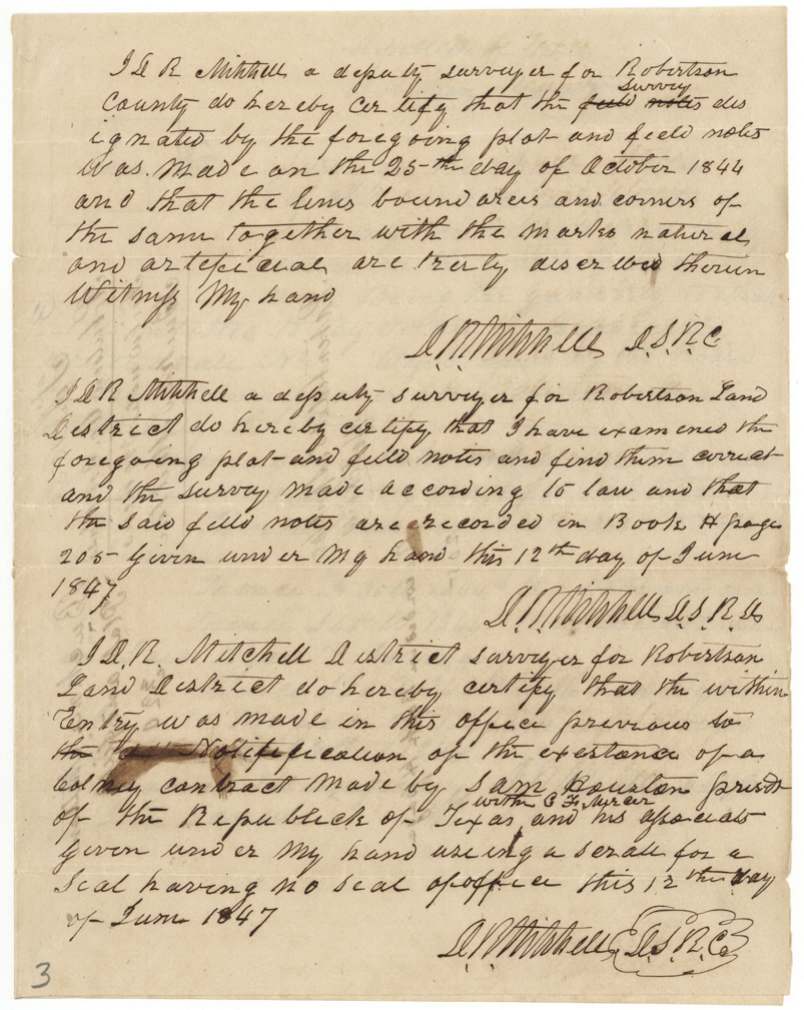
Book H, p. 205 (12 Jun 1847)
The patent
15 Apr 1848, No. 450, Vol. 3, to Heirs of Buckner Melton.
Also in the file
- 12 Jun 1847: Mitchell certified the entry was made before notice of the colony contract between Sam Houston, President, and C. F. Mercer. The jacket notes the land is in Mercer's Colony.
- The Navarro County court sat as the board of land commissioners: E. H. Tarrant, chief justice; James E. Patton and Jacob Hartzel (?), commissioners; R. H. White, clerk.
Timeline
- 6 Jul 1841Conditional certificate at Franklin
- 25 Oct 1844Surveyed by D. R. Mitchell
- 12 Jun 1847Mitchell certifies the entry predates the Mercer contract
- 12 Jul 1847Unconditional certificate to Ethan Melton, administrator
- 15 Apr 1848Patented to the heirs
The papers in the file
Every page of the Land Office file, in the order the Land Office keeps them (8 pages). Tap a page to see it larger.
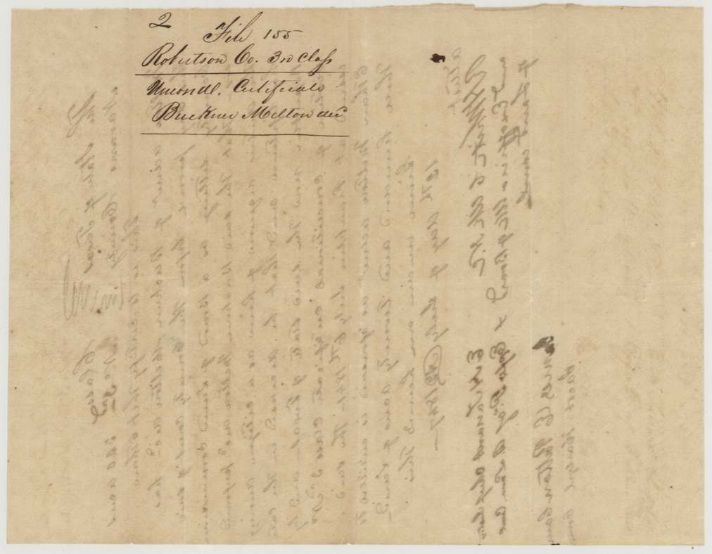
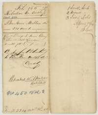 File jacketFile jacket for the Robertson County Third Class file of Buckner Melton, 320 acres, patented 15 April 1848 as No. 450, Volume 3.General Land Office, file 155, page 1 · in the scan
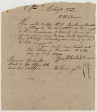 CertificateConditional third-class headright certificate for 320 acres to Buckner Melton, issued at Franklin on 6 July 1841 by the Robertson County Board of Land Commissioners.General Land Office, file 155, page 2 · in the scan
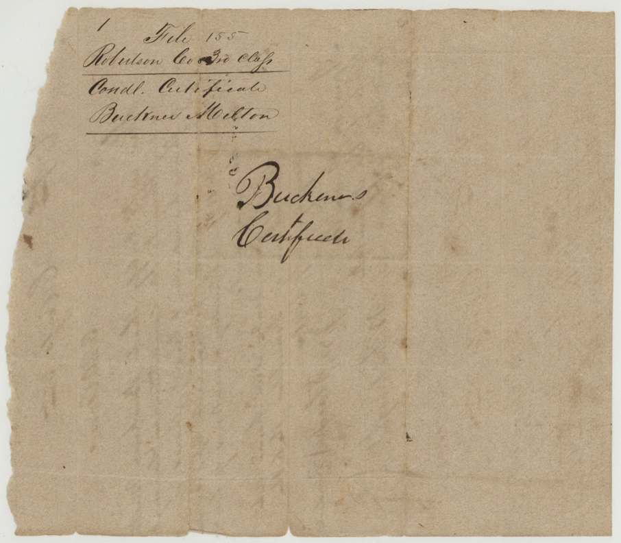
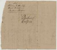 File jacketBack of the conditional certificate, marked as the conditional certificate of Buckner Melton.General Land Office, file 155, page 3 · in the scan
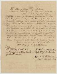 CertificateUnconditional certificate for 320 acres, issued 12 July 1847 by the Navarro County court sitting as land board after Ethan Melton, administrator, proved Buckner Melton's citizenship.General Land Office, file 155, page 4 · in the scan
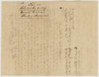 File jacketBack of the unconditional certificate, marked as the certificate of Buckner Melton.General Land Office, file 155, page 5 · in the scan
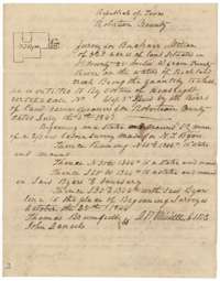 Field notesField notes and plat for 320 acres on Richland Creek waters, surveyed for Buckner Melton by deputy surveyor D. R. Mitchell on 25 October 1844.General Land Office, file 155, page 6 · in the scan
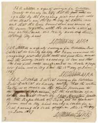 Surveyor's certificateCertificates of D. R. Mitchell, 12 June 1847, that the survey was properly made and recorded in Book H, page 205, and was entered before the colony contract.General Land Office, file 155, page 7 · in the scan
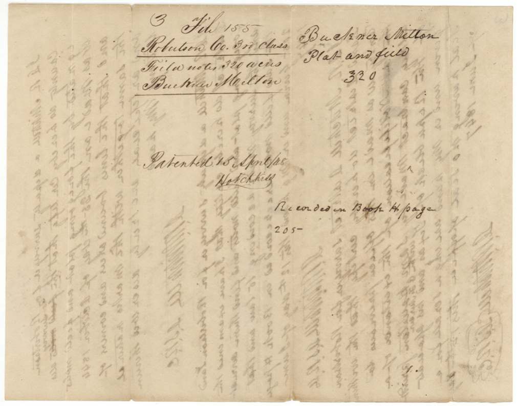
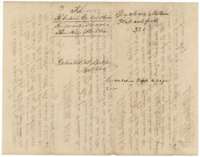 File jacketJacket for the plat and field notes of Buckner Melton, 320 acres, marked patented 15 April 1848.General Land Office, file 155, page 8 · in the scan
Scans courtesy of the Texas General Land Office, Austin, from its Land Grant Database.
Neighbouring surveys
Sources
- Texas General Land Office, Land Grant Database: Navarro County, Abstract 542
- The Land Office file, scanned (PDF, at the General Land Office)
- 1924 map: courtesy of the Texas General Land Office, Austin, Map 73249, used under licence. Topo: U.S. Geological Survey, The National Map. Aerial photographs: U.S. Department of Agriculture, National Agriculture Imagery Program, 2012, 2018 and 2022. Survey outlines: Railroad Commission of Texas, Original Texas Land Survey. Grant records and files: Texas General Land Office.