Blackland TX · ← All the original surveys
E. Melton Survey, Abstract 592
- Granted to
- E. Melton
- Kind of grant
- Donation warrantLand given for the battles of 1835–36: Bexar, the Alamo, San Jacinto.
- Land Office file
- Robertson Donation, file 365
- Certificate
- No. 842
- Acres
- 320
- Patented to
- Heirs of E. Melton
- Patent
- 08 Aug 1870 · No. 366, Vol. 3
Tap a survey to open its page.
What the file shows
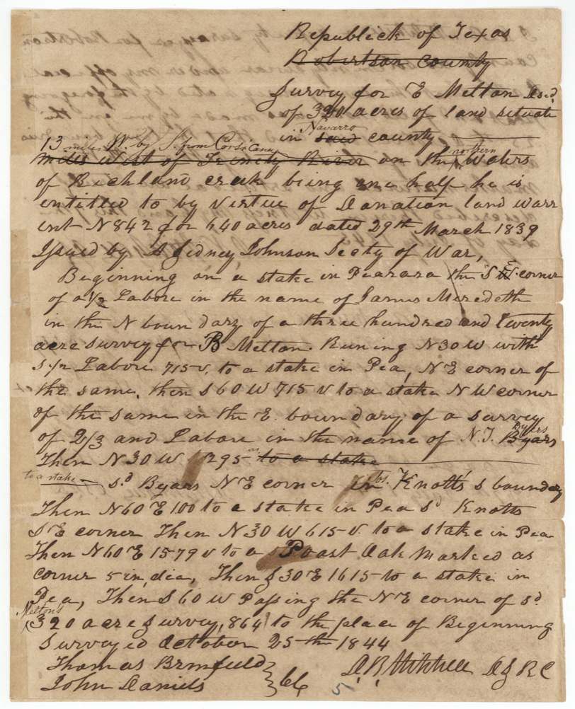
Eliel Melton died at the Alamo, and on 29 March 1839 the Republic issued donation warrant No. 842 for 640 acres. D. R. Mitchell first surveyed half of it here, 320 acres on the north side of Richland Creek on Cottonwood Creek, on 25 October 1844, and ran the lines again on 4 September 1851 with J. Melton and Ethan Melton carrying the chain. The patent issued to Eliel's heirs on 8 August 1870, twenty-six years after the first survey.
The certificate
Donation warrant, No. 842, 640 (320 used here; balance see Robertson Military file 279), A. Sidney Johnston, Secretary of War, Houston, 29 Mar 1839.
For Eliel Melton, who fell at the Alamo.
The survey
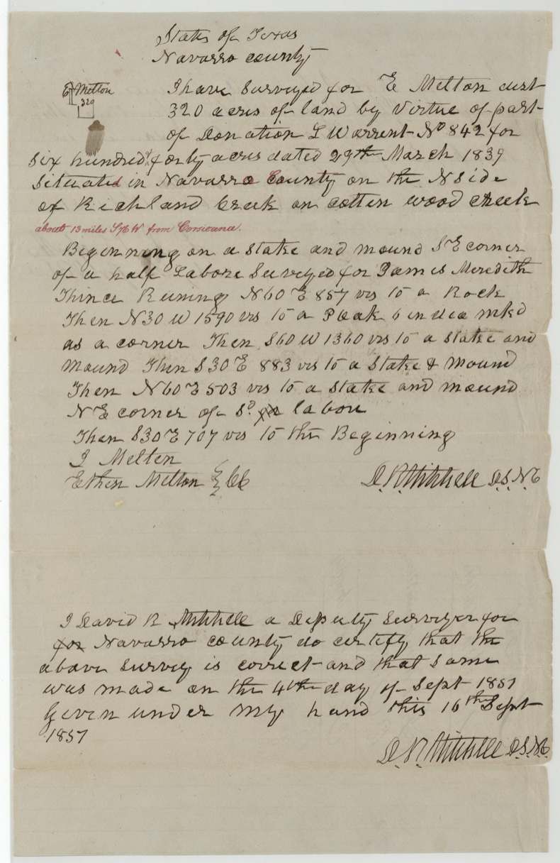
25 Oct 1844; resurveyed 4 Sep 1851, D. R. Mitchell.
Navarro County, on the north side of Richland Creek on Cottonwood Creek, about 13 miles from Corsicana; begins at the SE corner of a half-labor surveyed for James Meredith
Chain carriers: J. Melton, Ethan Melton.
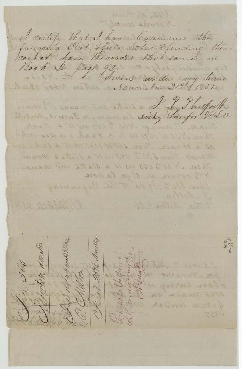
Certified 16 Sep 1851
The patent
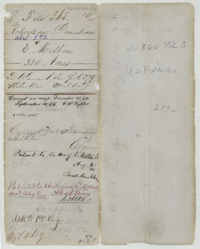
8 Aug 1870, No. 366, Vol. 3, to Heirs of E. Melton, deceased.
Also in the file
- Checked correct on the map 21 Dec 1854 and 13 Sep 1856.
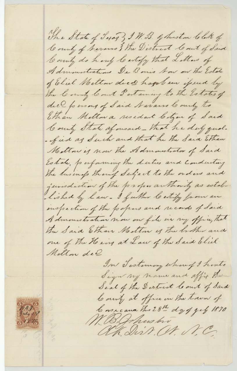
- In July 1870 the Navarro district clerk certified Ethan Melton as administrator of Eliel's estate and one of the heirs at law.
Timeline
- 6 Mar 1836Eliel Melton dies at the Alamo
- 29 Mar 1839Donation warrant No. 842
- 25 Oct 1844First survey, D. R. Mitchell
- 4 Sep 1851Resurvey; Ethan and J. Melton carry the chain
- 8 Aug 1870Patented to the heirs
The papers in the file
Every page of the Land Office file, in the order the Land Office keeps them (8 pages). Tap a page to see it larger.
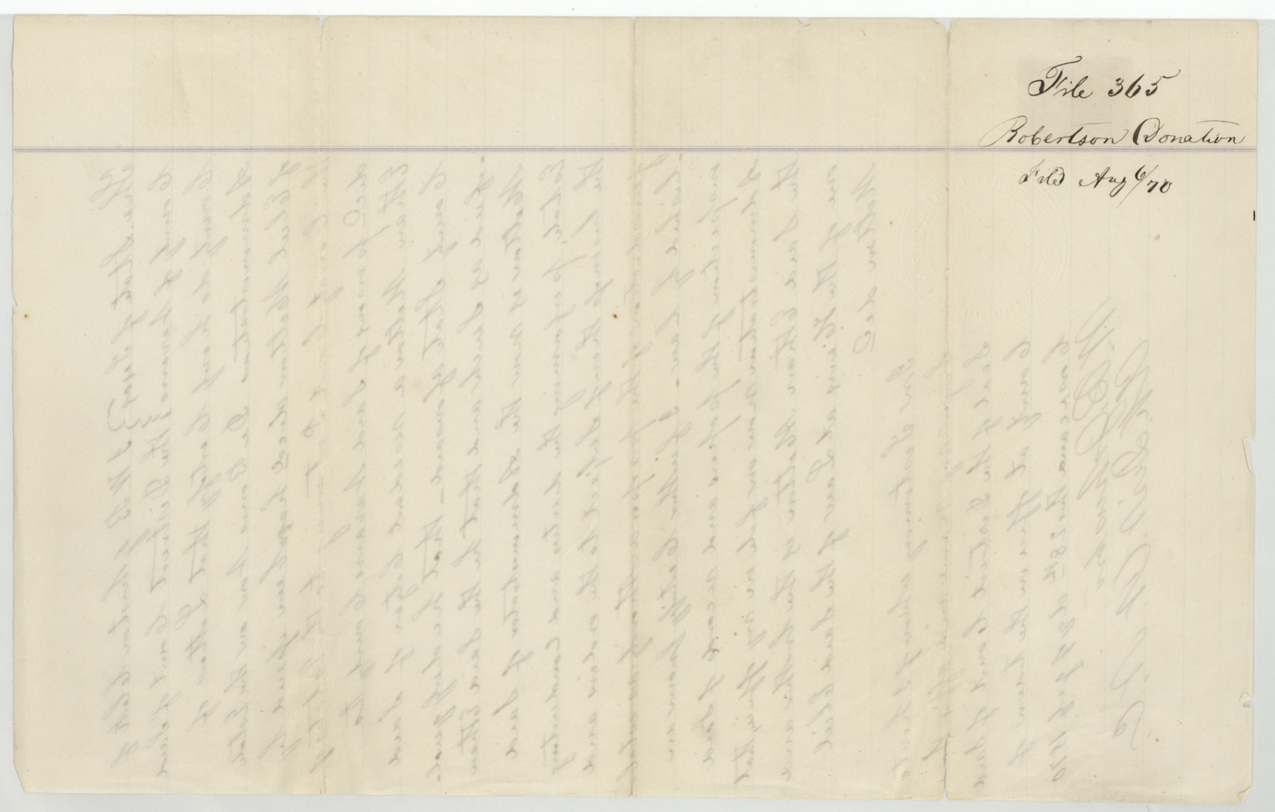
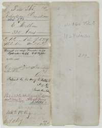 WrapperOuter wrapper for the 320-acre donation file of E. Melton, with map checks and the patent entry of 8 August 1870 to his heirs.General Land Office, file 365, page 1 · in the scan
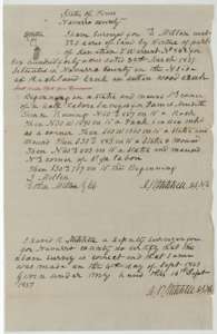 Field notesField notes for 320 acres on Cottonwood Creek, resurveyed for E. Melton by deputy surveyor D. R. Mitchell on 4 September 1851, with J. Melton and Ethan Melton carrying chain.General Land Office, file 365, page 2 · in the scan
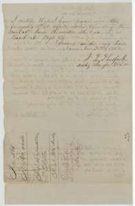 Surveyor's certificateSurveyor's certificate that the resurvey for E. Melton was examined and recorded, with a docket of dates down the margin.General Land Office, file 365, page 3 · in the scan
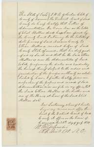 AffidavitDistrict clerk's certificate that Ethan Melton is administrator of the estate of Eliel Melton and one of his heirs at law, issued at Corsicana in 1870.General Land Office, file 365, page 4 · in the scan
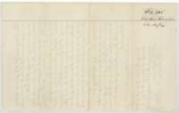 File jacketFile jacket for the Robertson Donation file of E. Melton, marked with the August 1870 patent.General Land Office, file 365, page 5 · in the scan
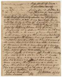 Field notesOriginal field notes for 320 acres on Richland Creek by virtue of donation warrant No. 842, surveyed for E. Melton by D. R. Mitchell, 25 October 1844.General Land Office, file 365, page 6 · in the scan
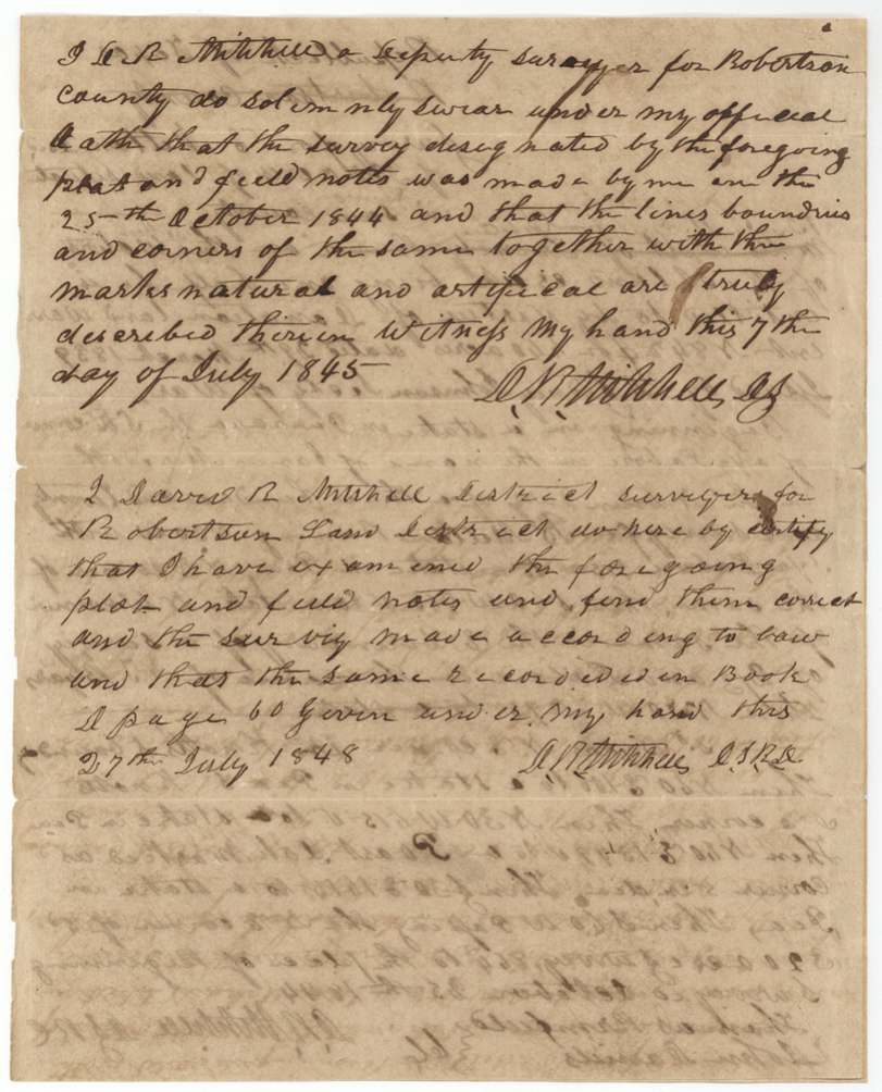
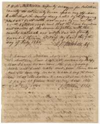 Surveyor's certificateDeputy surveyor D. R. Mitchell's oath of 7 July 1845 on the 1844 survey, and a district surveyor's certificate that the notes were recorded.General Land Office, file 365, page 7 · in the scan
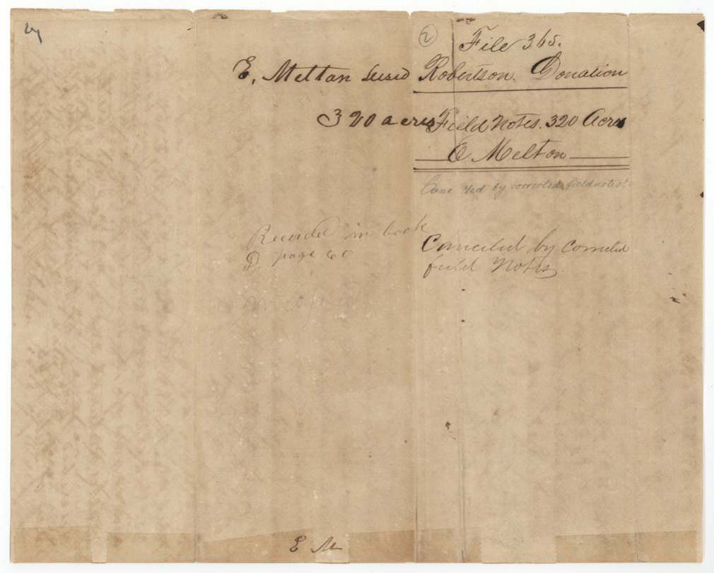
 DocketJacket for the field notes of E. Melton, 320 acres, Robertson Donation file.General Land Office, file 365, page 8 · in the scan
Scans courtesy of the Texas General Land Office, Austin, from its Land Grant Database.
Neighbouring surveys
Sources
- Texas General Land Office, Land Grant Database: Navarro County, Abstract 592
- The Land Office file, scanned (PDF, at the General Land Office)
- 1924 map: courtesy of the Texas General Land Office, Austin, Map 73249, used under licence. Topo: U.S. Geological Survey, The National Map. Aerial photographs: U.S. Department of Agriculture, National Agriculture Imagery Program, 2012, 2018 and 2022. Survey outlines: Railroad Commission of Texas, Original Texas Land Survey. Grant records and files: Texas General Land Office.