Blackland TX · ← All the original surveys
John P. Houston Survey, Abstract 376
- Granted to
- John P. Houston
- Kind of grant
- Headright, third classLand for later settlers, including the colonists of Mercer’s Colony.
- Land Office file
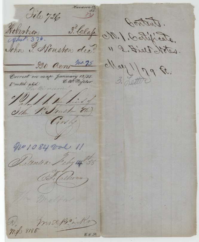
- Robertson 3rd class, file 726
- Certificate
- No. 75
- Acres
- 320
- Patented to
- Heirs of John P. Houston
- Patent
- 14 Feb 1855 · No. 1084, Vol. 11
Tap a survey to open its page.
What the file shows
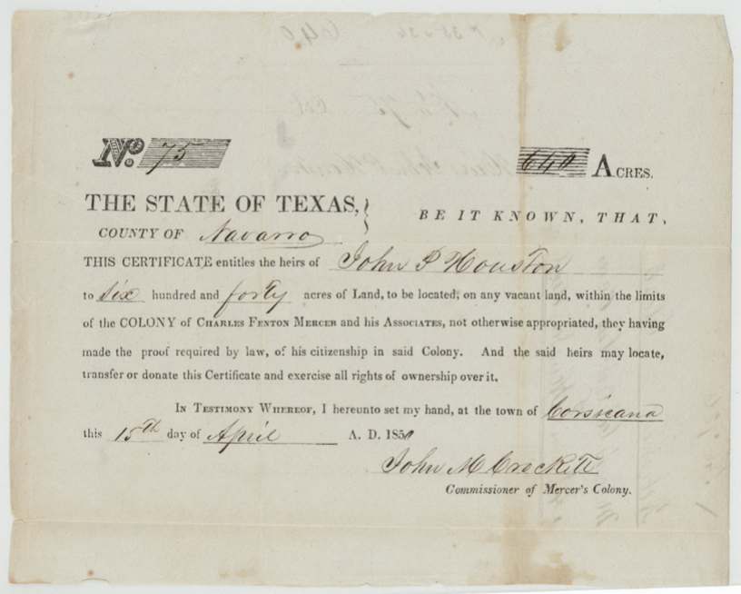
The heirs of John P. Houston were given a Mercer's Colony certificate for 640 acres at Corsicana on 15 April 1850 by John M. Crockett, the colony's commissioner. D. R. Mitchell surveyed half of it, 320 acres, on Rush Creek on 3 December 1852, calling E. Melton's corners. The patent issued to the heirs on 14 February 1855; in November 1854 Mitchell's son had asked the Land Office to hand both 320-acre surveys to Mr. Houston.
The certificate
Mercer's Colony certificate (headright, third class in the Land Office's filing), No. 75, 640 (320 used here), John M. Crockett, Commissioner of Mercer's Colony, Corsicana, 15 Apr 1850.
Proof of John P. Houston's citizenship in the colony.
The survey
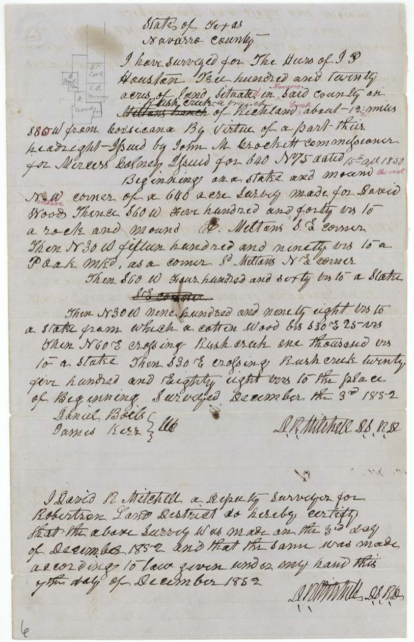
3 Dec 1852, D. R. Mitchell, Deputy Surveyor, Robertson Land District.
On Rush Creek, a branch of Richland Creek, about 12½ miles S 85 W of Corsicana; first written 'Meltons branch' and struck; begins at the NW corner of David Wood's 640 acres and calls E. Melton's SE and NE corners
Chain carriers: Daniel Boils (?), James Kerr.
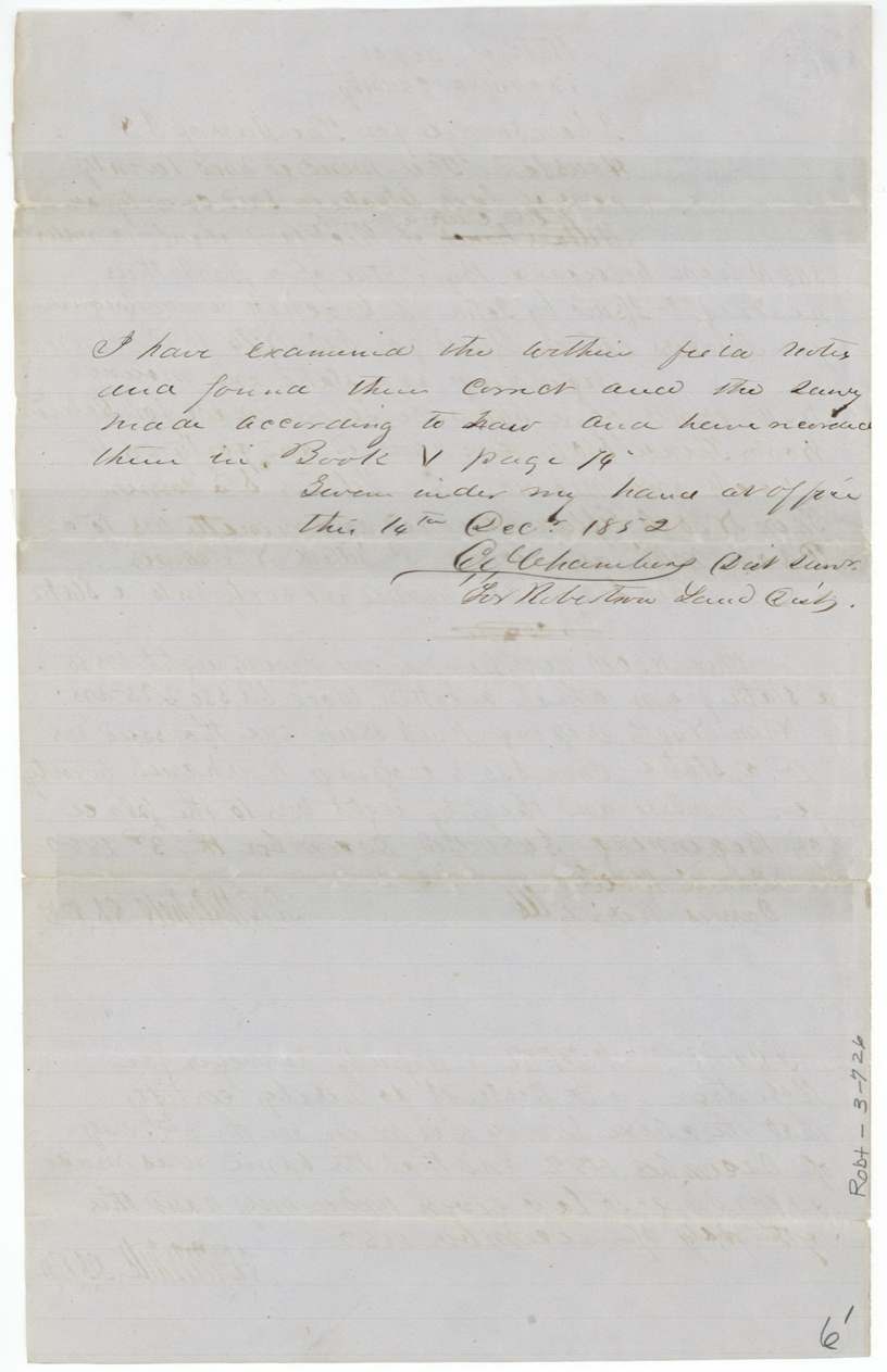
Book V, p. 74; examined by C. J. Chambers 14 Dec 1852
The patent
14 Feb 1855, No. 1084, Vol. 11, to Heirs of John P. Houston.
Also in the file
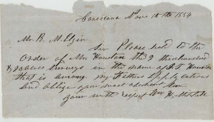
- 15 Nov 1854: Wm. H. Mitchell wrote to R. M. Elgin, chief clerk of the Land Office, asking him to deliver to Mr. Houston 'the 2 three hundred & 20 acre surveys' in J. P. Houston's name 'among my father's applications'.
- The jacket is marked 'In the reserve!'.
Timeline
- 15 Apr 1850Mercer's Colony certificate No. 75 issued at Corsicana
- 3 Dec 1852Surveyed by D. R. Mitchell
- 15 Nov 1854Mitchell's son asks the Land Office to deliver the surveys
- 14 Feb 1855Patented to the heirs
The papers in the file
Every page of the Land Office file, in the order the Land Office keeps them (8 pages). Tap a page to see it larger.
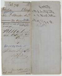 File jacketFile jacket for the heirs of John P. Houston's Mercer's Colony certificate, 320 acres, patented 14 February 1855; the jacket lists the certificate, field notes and a letter.General Land Office, file 726, page 1 · in the scan
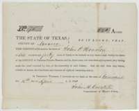 CertificateMercer's Colony certificate No. 75, issued at Corsicana on 15 April 1850, entitling the heirs of John P. Houston to 640 acres of vacant land.General Land Office, file 726, page 2 · in the scan
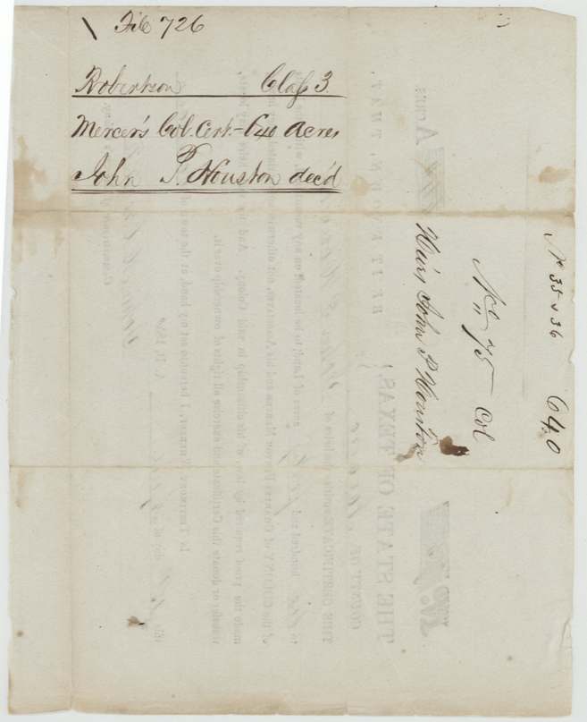
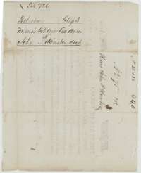 WrapperBack of the Houston certificate, endorsed Robertson Class 3, Mercer's Colony certificate for the heirs of John P. Houston, 640 acres.General Land Office, file 726, page 3 · in the scan
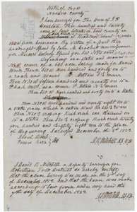 Field notesField notes for 320 acres on Rush Creek, a branch of Richland Creek, surveyed for the heirs of John P. Houston by deputy surveyor D. R. Mitchell, 3 December 1852.General Land Office, file 726, page 4 · in the scan
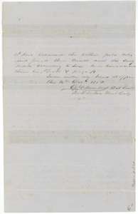 Surveyor's certificateDistrict Surveyor's certificate of 16 December 1852 that the Houston field notes are correct and recorded in Book V, page 74.General Land Office, file 726, page 5 · in the scan
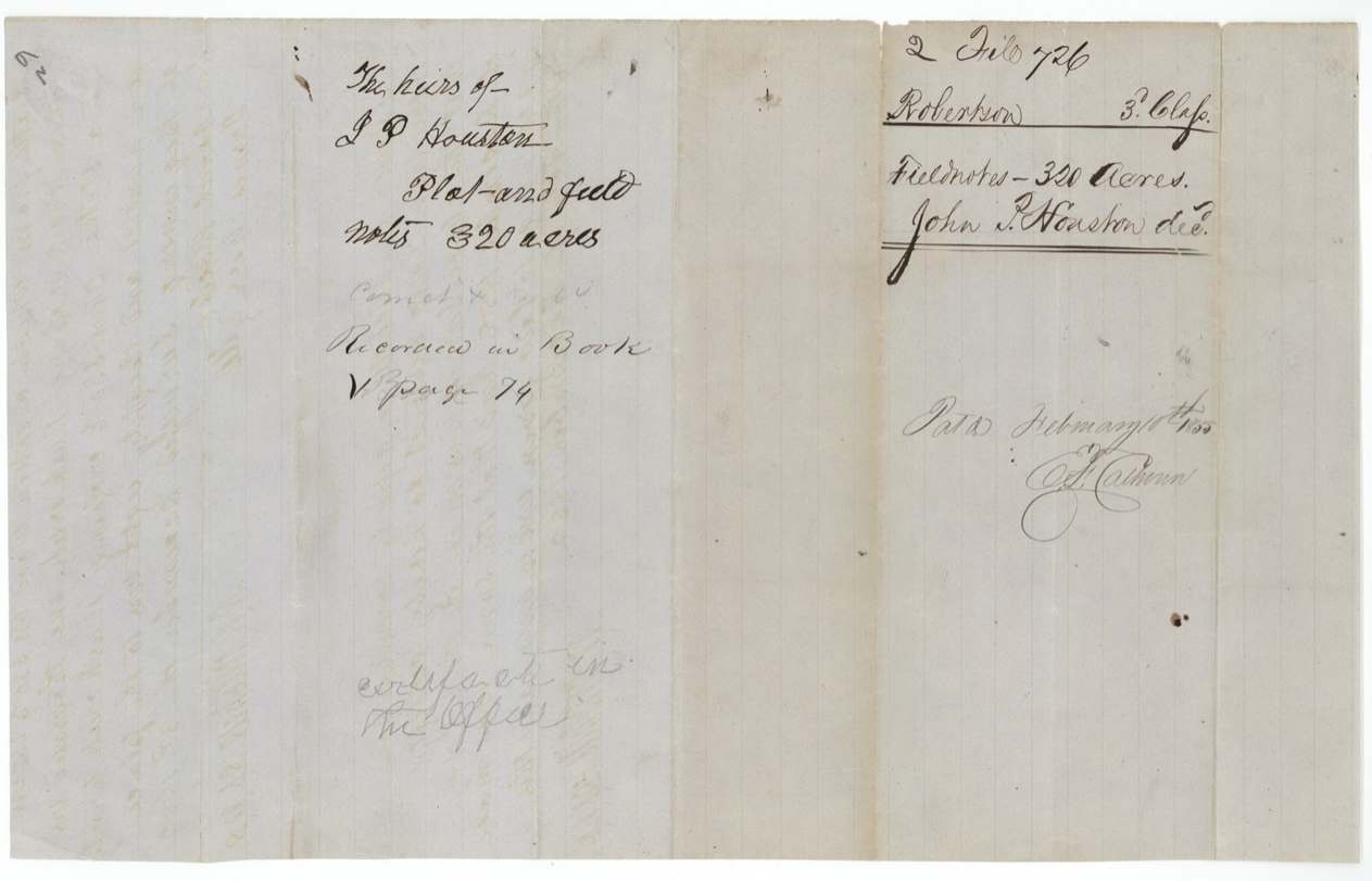
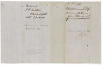 WrapperWrapper for the plat and field notes of the heirs of John P. Houston, 320 acres, recorded in Book V, page 74 and marked patented February 1855.General Land Office, file 726, page 6 · in the scan
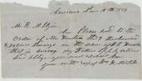 LetterLetter from Corsicana, 15 November 1854, asking the Land Office to hand Mr. Houston the two 320-acre surveys in the name of J. P. Houston.General Land Office, file 726, page 7 · in the scan
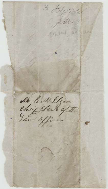
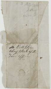 WrapperWrapper of the 15 November 1854 letter, addressed to R. M. Elgin, Chief Clerk of the Land Office.General Land Office, file 726, page 8 · in the scan
Scans courtesy of the Texas General Land Office, Austin, from its Land Grant Database.
Neighbouring surveys
Sources
- Texas General Land Office, Land Grant Database: Navarro County, Abstract 376
- The Land Office file, scanned (PDF, at the General Land Office)
- 1924 map: courtesy of the Texas General Land Office, Austin, Map 73249, used under licence. Topo: U.S. Geological Survey, The National Map. Aerial photographs: U.S. Department of Agriculture, National Agriculture Imagery Program, 2012, 2018 and 2022. Survey outlines: Railroad Commission of Texas, Original Texas Land Survey. Grant records and files: Texas General Land Office.