Blackland TX · ← All the original surveys
William Langston Survey, Abstract 500
- Granted to
- William Langston
- Kind of grant
- Headright, third classLand for later settlers, including the colonists of Mercer’s Colony.
- Land Office file
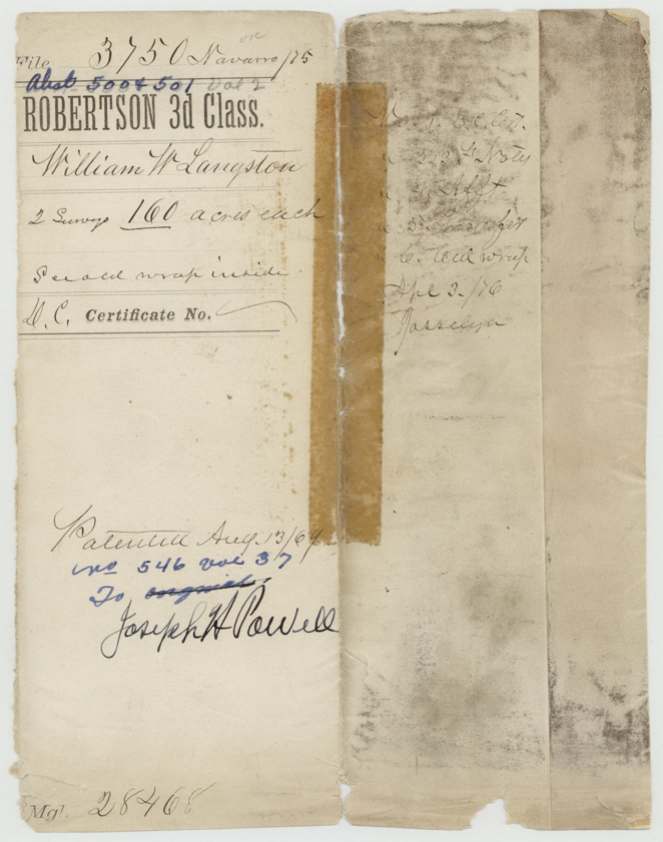
- Robertson 3rd class, file 3750
- Acres
- 160
- Patented to
- Joseph H. Powell
- Patent
- 13 Aug 1869 · No. 546, Vol. 37
Tap a survey to open its page.
What the file shows
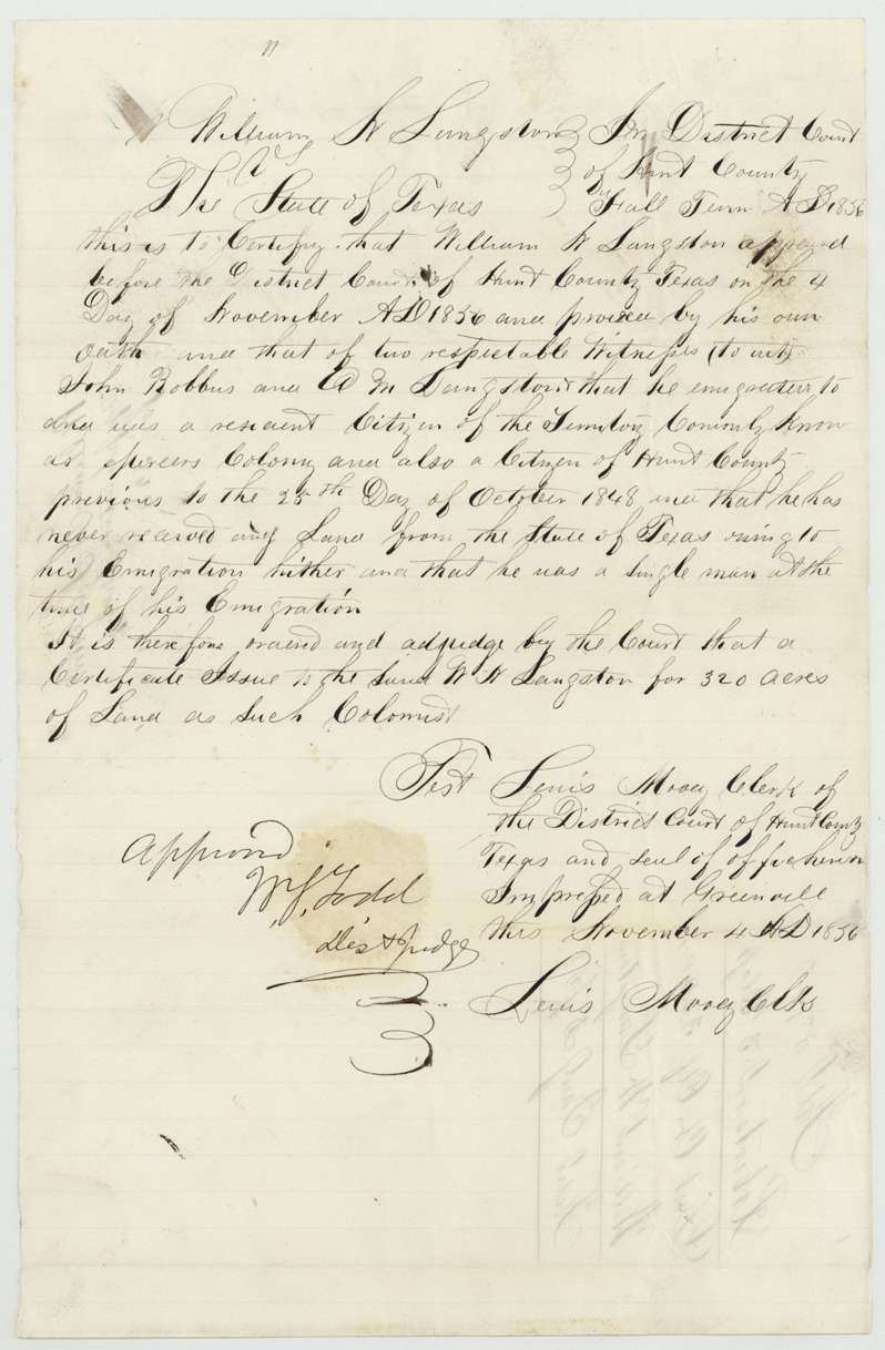
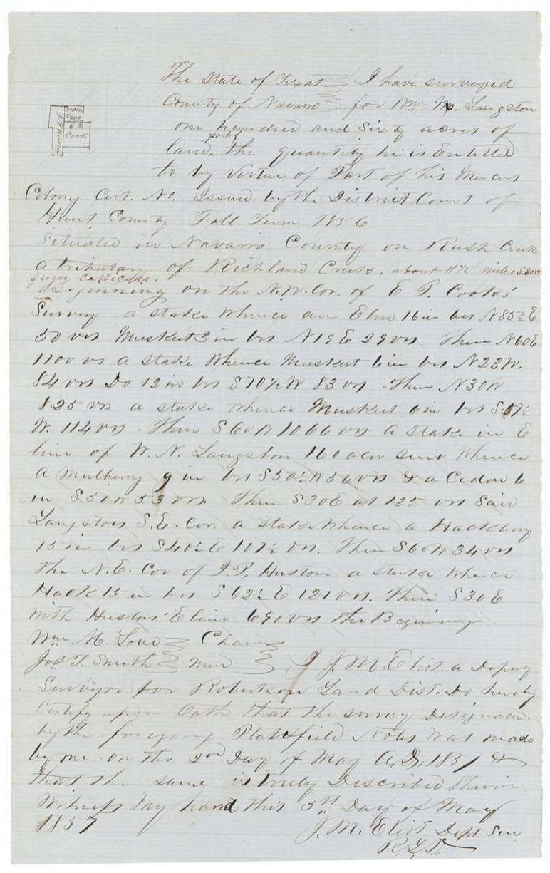
On 4 Nov 1856 the Hunt County District Court at Greenville found that William W. Langston had come to the Mercer's (Peters) Colony as a single man and been a Hunt County citizen before 25 Oct 1848, and ordered a 320-acre colonist certificate. On 10 Feb 1857 Langston transferred it to Joseph H. Powell in Navarro County, and in May 1857 deputy surveyor J. M. Eliot laid it out as two adjoining 160-acre tracts on Rush Creek, a tributary of Richland Creek about 11-12 miles S 80 W of Corsicana, next to E. P. Cook, J. P. Huston and J. George. Because the papers named him variously as William W., William N. and William Newton Langston, he swore an affidavit in 1863 that they were one man and one certificate. The patent (No. 546 Vol. 37, 160 acres) issued to Joseph H. Powell as assignee on 13 Aug 1869.
The certificate
other — Peters (Mercer's) Colony colonist certificate by District Court decree (filed Robertson 3rd class), No. blank in the file (left unnumbered on the decree, field notes and transfer), 320 (two surveys of 160 each), District Court of Hunt County, Fall Term 1856 — W. J.(?) Todd, Dist. Judge (approved); Lewis Moody(?), Clerk, Greenville, Hunt County, 4 Nov 1856.
William W. Langston proved by his own oath and that of two respectable witnesses, John Robbins(?) and E. M. Langston, that he emigrated to and was a resident citizen of the 'Peters(?) Colony known as Mercer's Colony' and also a citizen of Hunt County previous to 25 Oct 1848; that he had never received any land from the State owing to his emigration; and that he was a single man at the time of his emigration. Court ordered a certificate for 320 acres 'as such colonist'.
Changes of hand
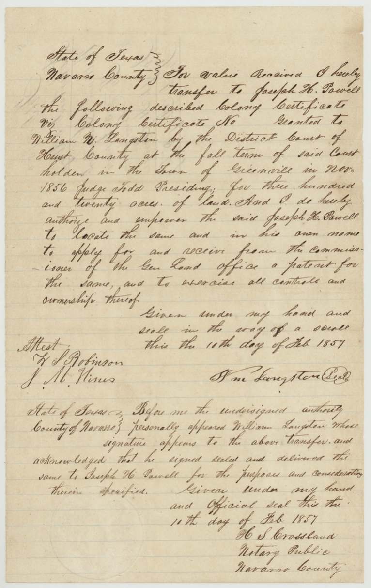
- 10 Feb 1857Wm Langston (William N. Langston), Navarro County → Joseph H. Powell, 'for value received' — no sum stated, Navarro County. Transfers the colony certificate granted to William N. Langston by Hunt County District Court at Greenville, Nov 1856, Judge Todd presiding, 320 acres; authorises Powell to locate and take patent in his own name. Seal 'in the way of a scroll'. Jacket: filed Jany 5/57(?).
The survey
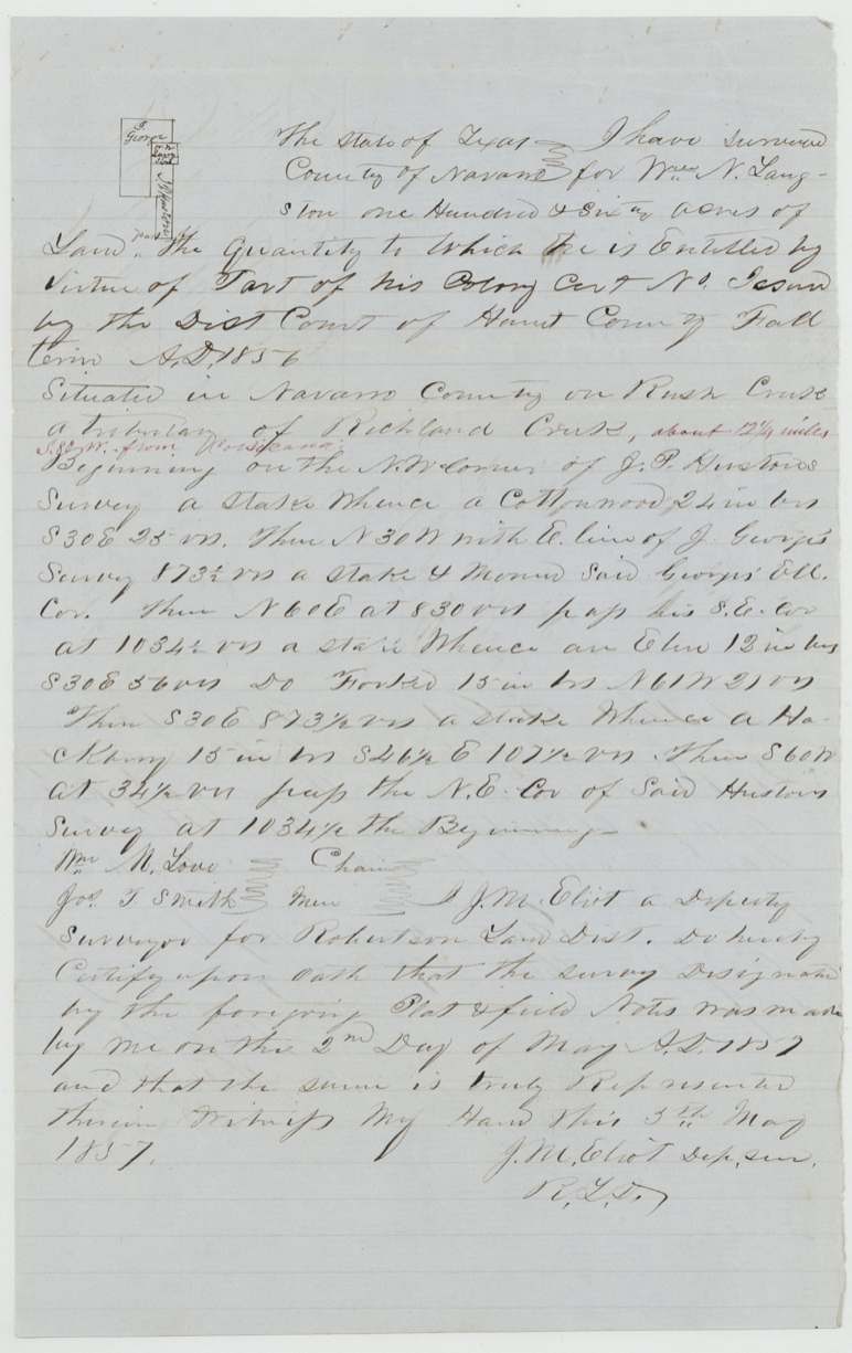
1857-05-02 (oath 1857-05-05), J. M. Eliot (Elliot?).
[Abstract 500] 160 acres for Wm W. Langston in Navarro County on Rush Creek, a tributary of Richland Creek, about 11½ miles S 80 W from Corsicana; begins on the NW corner of E. P. Cook's survey
Chain carriers: Wm. M. Love(?), Jos. T. Smith.
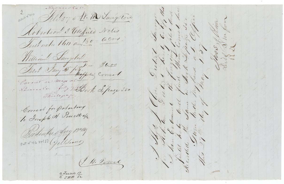
Book L, page 350
The survey
1857-05-02 (oath 1857-05-05), J. M. Eliot.
[Abstract 501] 160 acres for Wm N. Langston in Navarro County on Rush Creek, a tributary of Richland Creek, about 12¼ miles S 80 W from Corsicana; begins on NW corner of J. P. Huston's survey
Chain carriers: Wm. M. Love(?), Jos. T. Smith.
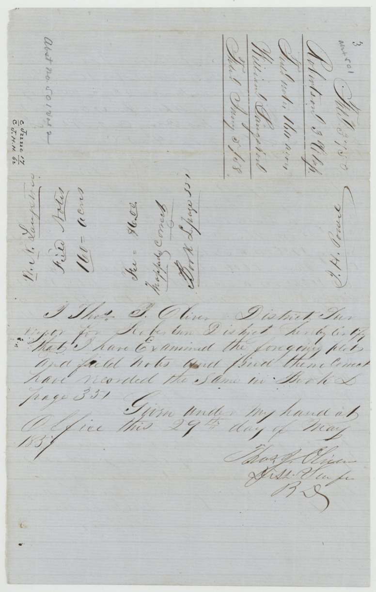
Book L, page 351
The patent
13 Aug 1869, No. 546, Vol. 37, to Joseph H. Powell, assignee, delivered to Old-wrapper note 'Apr 3/76 ?asselyn(?)' beside contents list (handling or delivery, unclear).
Also in the file
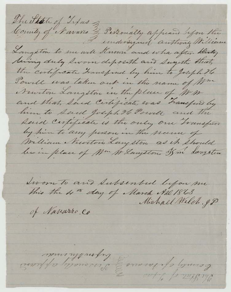
- Name confusion: decree says William W. Langston, transfer says William N. Langston, affidavit says William Newton Langston; the 1863 affidavit was needed to clear it.
- The two 160-acre surveys are written as if for two men (Wm W. Langston and Wm N. Langston) and adjoin each other; the first calls the second's line as 'W. N. Langston 160-acre survey'.
- Certificate number never filled in.
- Patent delayed to 13 Aug 1869 — twelve years after survey; the name affidavit (1863) and map check (1862) fall during the Civil War.
- Only one patent (No. 546 Vol. 37, 160 acres) is recorded on the jackets; status of the second 160 (Abst. 501) is not shown in this file.
- Survey 500 begins at the NW corner of E. P. Cook's survey (compare Abst. 163, Elias P. Cook, though that one is described as on Cottonwood Creek).
Timeline
- 25 Oct 1848Cut-off date: Langston proves residence in the colony and Hunt County before this date
- 4 Nov 1856Hunt County District Court at Greenville decrees William W. Langston a 320-acre colonist certificate
- 10 Feb 1857Langston transfers the certificate to Joseph H. Powell before H. S. Crossland, Navarro County
- 2 May 1857J. M. Eliot surveys two adjoining 160-acre tracts on Rush Creek
- 29 May 1857Thos. J. Oliver records field notes, Book L pp. 350-351
- 5 Jan 1858Papers filed at GLO
- 9 Jul 1862Correct on map of Navarro Co. (Thielepape)
- 4 Mar 1863Langston swears affidavit on his name before Michael Welch, J.P.
- 26 Mar 1863Affidavit filed at GLO
- 13 Aug 1869Patent No. 546 Vol. 37 to Joseph H. Powell, assignee
The papers in the file
Every page of the Land Office file, in the order the Land Office keeps them (12 pages). Tap a page to see it larger.
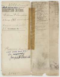 File jacketFile jacket for two 160-acre surveys in Navarro County for William W. Langston, patented 13 August 1869 to his assignee Joseph H. Powell.General Land Office, file 3750, page 1 · in the scan
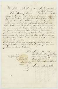 CertificateHunt County District Court decree of 4 November 1856 granting William W. Langston a colonist certificate for 320 acres, as a resident of Mercer's Colony.General Land Office, file 3750, page 2 · in the scan
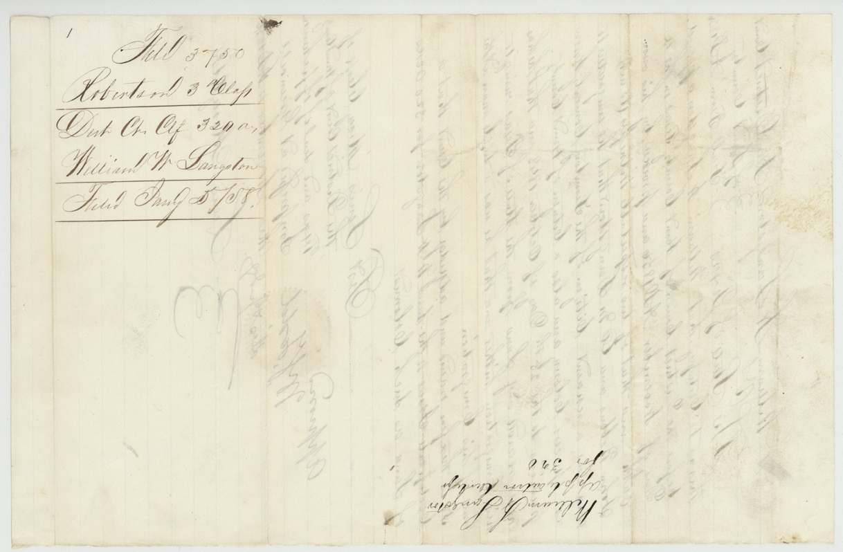
 WrapperWrapper for the district court certificate for 320 acres to William W. Langston, filed in the General Land Office 5 January 1858.General Land Office, file 3750, page 3 · in the scan
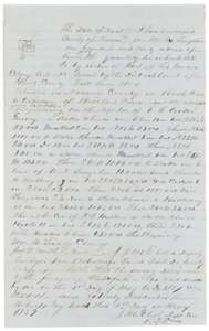 Field notesField notes for 160 acres on Rush Creek, a branch of Richland Creek, surveyed for William W. Langston by deputy surveyor J. M. Eliot, 2 May 1857.General Land Office, file 3750, page 4 · in the scan
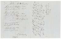 WrapperWrapper for Langston's first set of field notes, marked correct and recorded in Book L, page 350, with the patent note of 13 August 1869 to Joseph H. Powell.General Land Office, file 3750, page 5 · in the scan
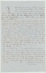 Field notesField notes for a second 160 acres on Rush Creek surveyed for William N. Langston by deputy surveyor J. M. Eliot, 2 May 1857.General Land Office, file 3750, page 6 · in the scan
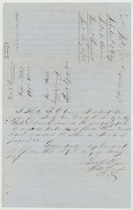 Surveyor's certificateDistrict Surveyor Thomas J. Oliver's certificate of 29 May 1857 that the field notes are correct and recorded in Book L, page 351, with the wrapper beside it.General Land Office, file 3750, page 7 · in the scan
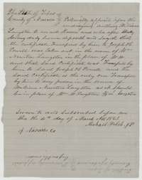 AffidavitAffidavit of William Langston, 4 March 1863, that his certificate was taken out as William Newton Langston and was the only one he transferred to Joseph H. Powell.General Land Office, file 3750, page 8 · in the scan
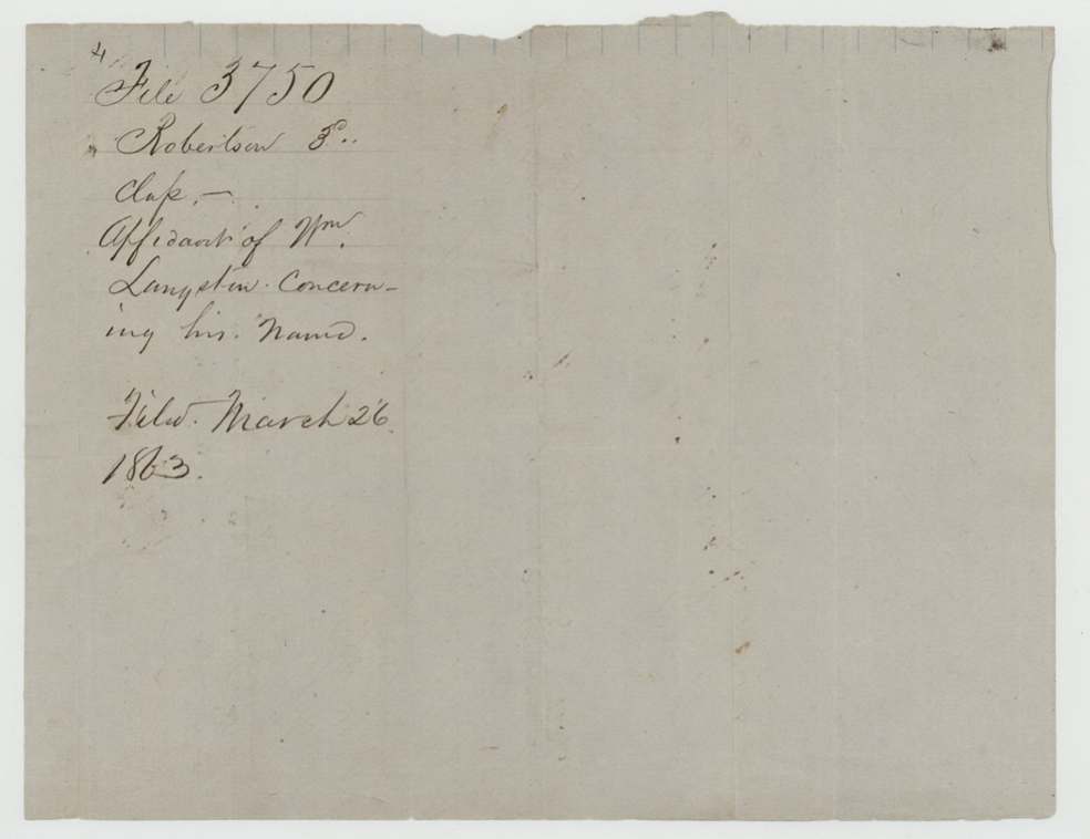
 WrapperWrapper for William Langston's affidavit concerning his name, filed 26 March 1863.General Land Office, file 3750, page 9 · in the scan
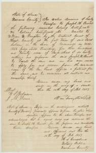 TransferTransfer of 10 February 1857 in which William Langston of Navarro County conveys his 320-acre colony certificate to Joseph H. Powell, with the notary's acknowledgment.General Land Office, file 3750, page 10 · in the scan
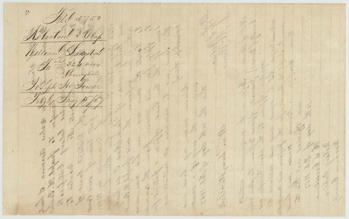
 WrapperWrapper for the transfer of William W. Langston's 320-acre certificate to Joseph H. Powell.General Land Office, file 3750, page 11 · in the scan
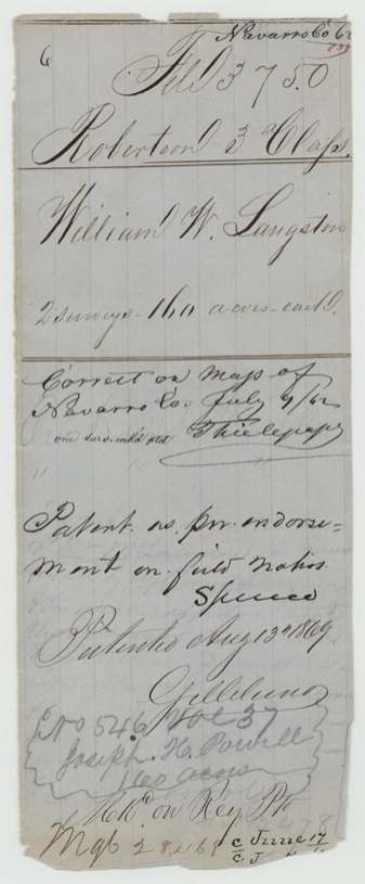
 WrapperOuter wrapper of the Langston file, marked correct on the map of Navarro County and patented 13 August 1869 to Joseph H. Powell.General Land Office, file 3750, page 12 · in the scan
Scans courtesy of the Texas General Land Office, Austin, from its Land Grant Database.
Neighbouring surveys
Sources
- Texas General Land Office, Land Grant Database: Navarro County, Abstract 500
- The Land Office file, scanned (PDF, at the General Land Office)
- 1924 map: courtesy of the Texas General Land Office, Austin, Map 73249, used under licence. Topo: U.S. Geological Survey, The National Map. Aerial photographs: U.S. Department of Agriculture, National Agriculture Imagery Program, 2012, 2018 and 2022. Survey outlines: Railroad Commission of Texas, Original Texas Land Survey. Grant records and files: Texas General Land Office.