Blackland TX · ← All the original surveys
Jos H. Powell Survey, Abstract 658
- Granted to
- Jos H. Powell
- Kind of grant
- Headright, third classLand for later settlers, including the colonists of Mercer’s Colony.
- Land Office file
- Robertson 3rd class, file 5000
- Certificate
- No. 0/48
- Acres
- 200
- Patented to
- Joseph H. Powell
- Patent
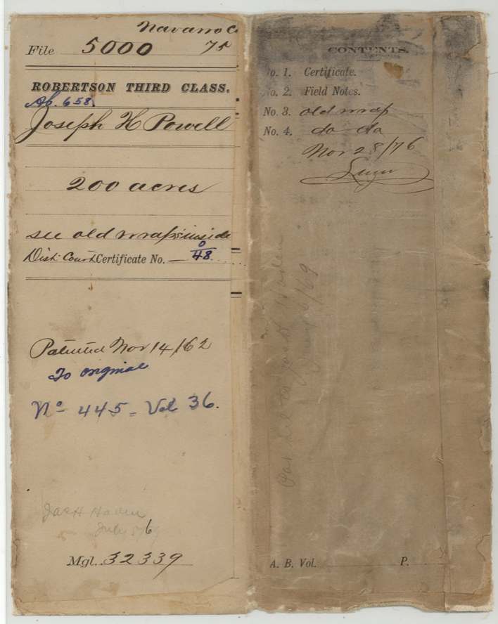
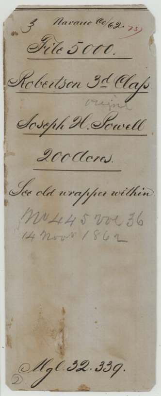
- 14 Nov 1862 · No. 445, Vol. 36
Tap a survey to open its page.
What the file shows
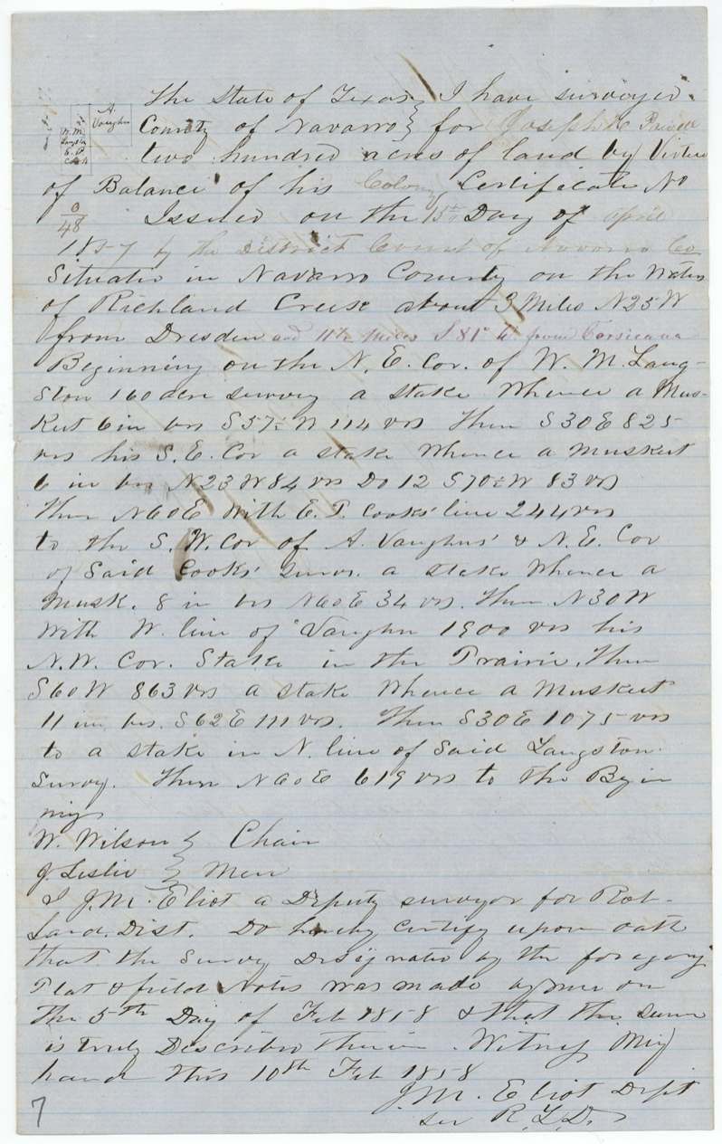
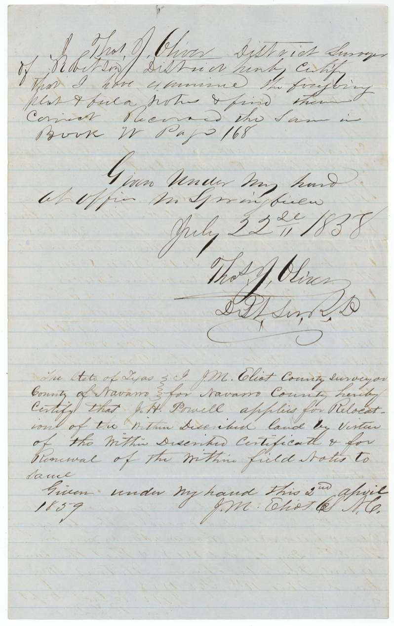
Joseph H. Powell proved to the Navarro County District Court that he had been a citizen of Mercer's Colony before 25 October 1848, and on 15 April 1857 the court issued him colony certificate No. 48 for 320 acres, countersigned by Judge John Gregg. Deputy Surveyor J. M. Eliot laid 200 acres of it on 5 February 1858 on the waters of Richland Creek about three miles north-north-west of Dresden, next to W. M. Langston, E. T. Cook and A. Vaughn, and District Surveyor Thos. J. Oliver recorded it at Springfield that July. After a renewal in 1859 and filing in Austin in March 1860, it was patented to Powell on 14 November 1862 (No. 445, Vol. 36), and the patent was handed to Jas. H. Haden in 1869.
The certificate
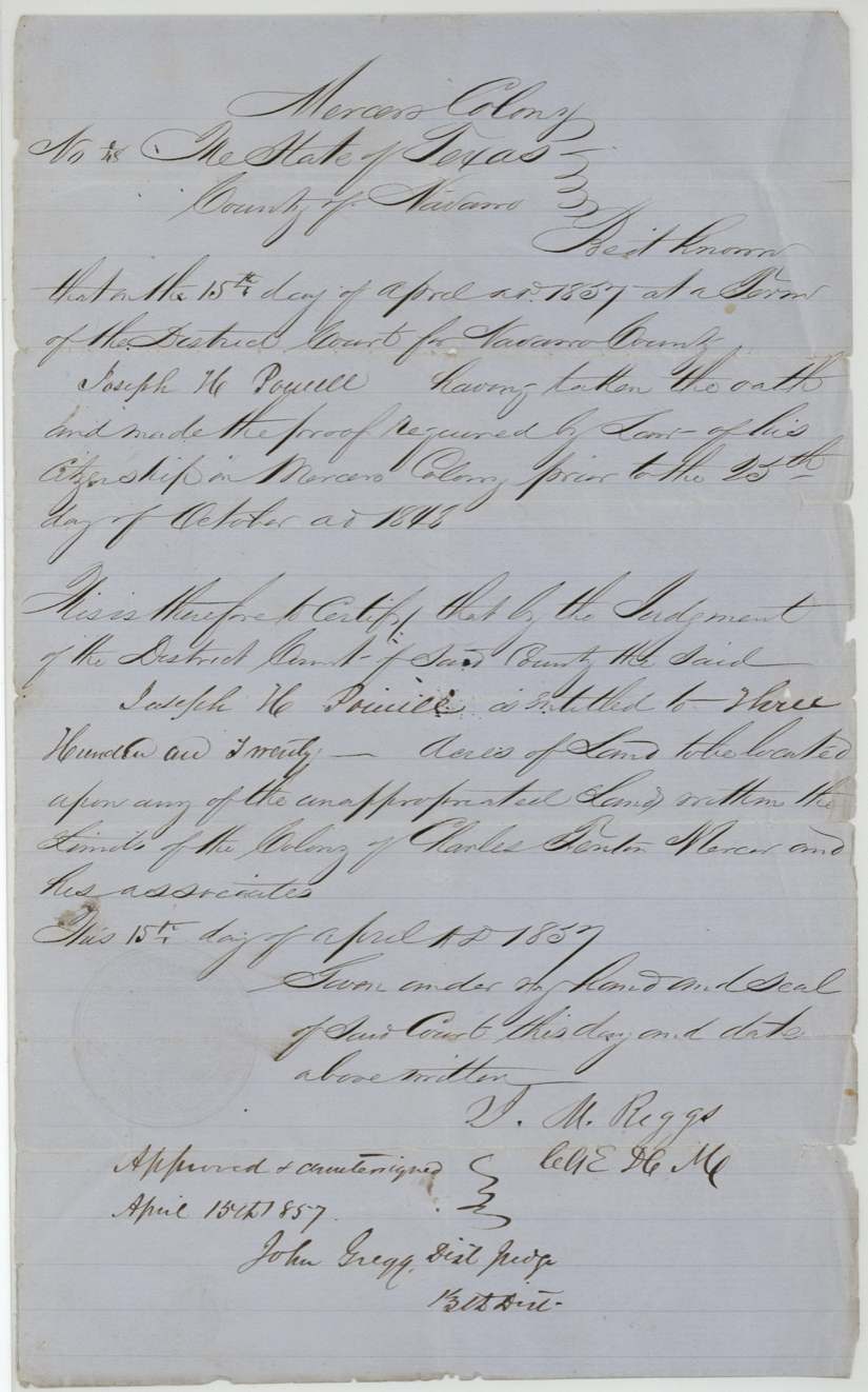
other (Mercer's Colony certificate issued by District Court judgment; GLO filed as Robertson 3rd Class), No. 48 (written 0/48), 320 acres, District Court for Navarro County - certificate signed by J. M. Riggs, Clerk of the District Court, Navarro County; approved and countersigned by John Gregg, District Judge, 13th District, Navarro County (Corsicana), 15 Apr 1857.
Joseph H. Powell took the oath and made the proof required by law of his citizenship in Mercer's Colony prior to 25 October 1848; by judgment of the District Court he is entitled to 320 acres to be located on any unappropriated land within the limits of the Colony of Charles Fenton Mercer and his associates
The survey
1858-02-05 (oath dated 10 Feb 1858), J. M. Eliot, Deputy Surveyor for Robertson Land District.
Navarro County on the waters of Richland Creek, about 3 miles N 25 W from Dresden and (red addition) 11 1/2 miles S 81 W (?) from Corsicana; begins at the NE corner of W. M. Langston's 160-acre survey; runs with E. T. Cook's line to the SW corner of A. Vaughn's and NE corner of Cook's survey; then with Vaughn's W line to his NW corner, a stake in the prairie; mesquite bearing trees
Chain carriers: W. Wilson, J. Leslie (?).
Book W, page 168
The patent
14 Nov 1862, No. 445, Vol. 36, to Joseph H. Powell (the original grantee), delivered to Jas. H. Haden, July (?) 5, 1869 (pencil: 'Pat del to Jas H Haden').
Also in the file
- The tract is located by its distance from Dresden - 'about 3 miles N 25 W from Dresden' - in February 1858; the Land Office later added the distance from Corsicana in red.
- The patent issued in November 1862, in the middle of the Civil War, under the Confederate-era state Land Office.
- The patent was not picked up for almost seven years and was then delivered in 1869 to Jas. H. Haden, not to Powell.
- Powell's survey was examined and recorded at Springfield (the Robertson District office then) and had to be renewed in 1859 to stay valid.
Timeline
- 25 Oct 1848Cut-off date: Powell proved citizenship in Mercer's Colony before this date
- 15 Apr 1857Navarro County District Court issues Mercer's Colony certificate No. 48 for 320 acres to Joseph H. Powell; approved by Judge John Gregg
- 5 Feb 1858J. M. Eliot surveys 200 acres on Richland Creek about 3 miles NNW of Dresden
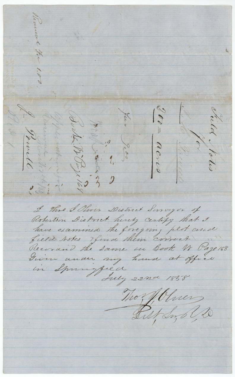
- 22 Jul 1858Examined and recorded by District Surveyor Thos. J. Oliver at Springfield, Book W p. 168
- 2 Apr 1859Powell applies for relocation and renewal of the field notes
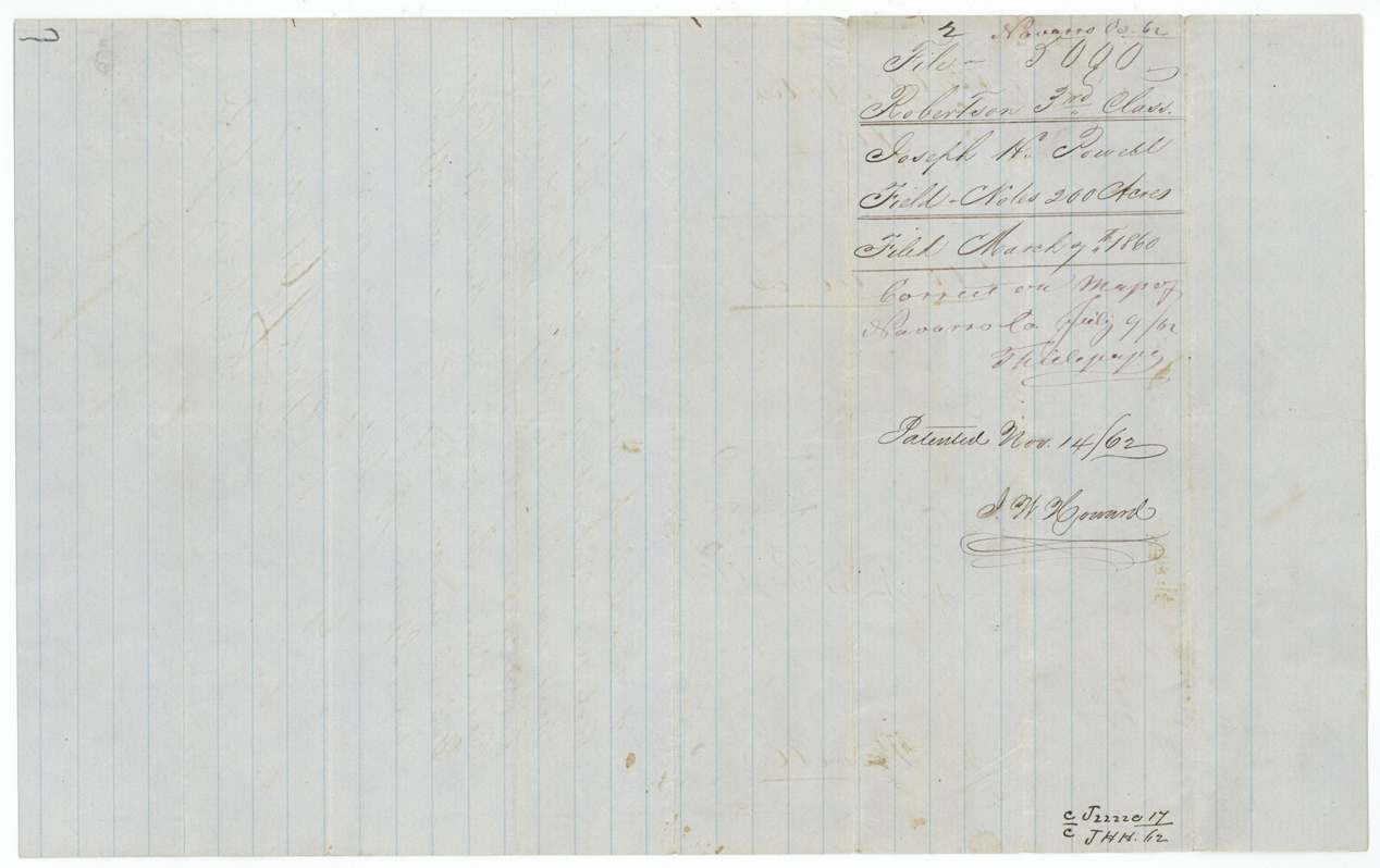
- 7 Mar 1860Certificate and field notes filed in the General Land Office
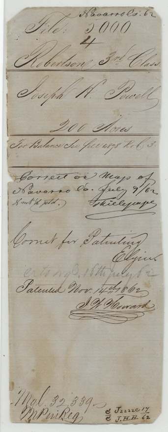
- 9 Jul 1862Checked correct on the Navarro County map
- 14 Nov 1862Patented to Joseph H. Powell, No. 445, Vol. 36
- 5 Jul 1869Patent delivered to Jas. H. Haden (pencil, month uncertain)
The papers in the file
Every page of the Land Office file, in the order the Land Office keeps them (9 pages). Tap a page to see it larger.
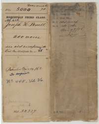 File jacketFile jacket for Joseph H. Powell's 200-acre survey on Richland Creek, with the patent of 14 November 1862.General Land Office, file 5000, page 1 · in the scan
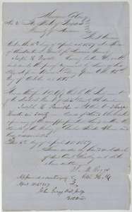 CertificateMercer's Colony certificate No. 48 for 320 acres, issued to Joseph H. Powell by the Navarro County District Court, 15 April 1857.General Land Office, file 5000, page 2 · in the scan
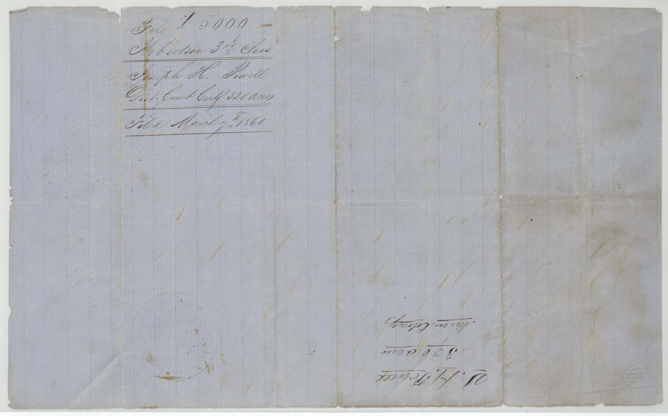
 WrapperBack of the certificate, with the docket naming Joseph H. Powell and the Land Office filing note of 7 March 1860.General Land Office, file 5000, page 3 · in the scan
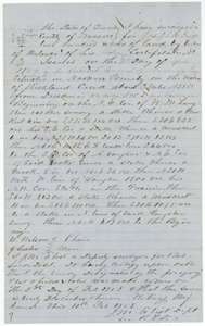 Field notesField notes for 200 acres on Richland Creek near Dresden, surveyed for Joseph H. Powell by deputy surveyor J. M. Eliot, 5 February 1858.General Land Office, file 5000, page 4 · in the scan
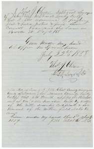 Surveyor's certificateDistrict surveyor Oliver's certificate of 22 July 1858 that the plat and field notes are correct, with county surveyor Eliot's renewal certificate of 2 April 1859.General Land Office, file 5000, page 5 · in the scan
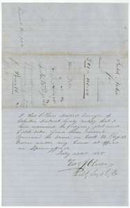 Surveyor's certificateSecond copy of the district surveyor's certificate of 22 July 1858 on the Powell field notes, with a file docket and the filing note.General Land Office, file 5000, page 6 · in the scan
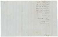 WrapperField notes jacket for Joseph H. Powell's 200 acres, with the filing note of 7 March 1860 and the patent note of 14 November 1862.General Land Office, file 5000, page 7 · in the scan
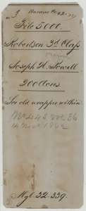 WrapperOlder file wrapper for Joseph H. Powell's 200 acres, noting the patent of 14 November 1862.General Land Office, file 5000, page 8 · in the scan
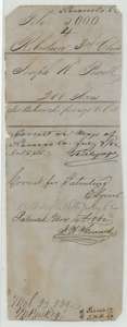 WrapperOlder file wrapper for Joseph H. Powell's 200 acres, with the map correction of July 1862 and the patent note.General Land Office, file 5000, page 9 · in the scan
Scans courtesy of the Texas General Land Office, Austin, from its Land Grant Database.
Neighbouring surveys
Sources
- Texas General Land Office, Land Grant Database: Navarro County, Abstract 658
- The Land Office file, scanned (PDF, at the General Land Office)
- 1924 map: courtesy of the Texas General Land Office, Austin, Map 73249, used under licence. Topo: U.S. Geological Survey, The National Map. Aerial photographs: U.S. Department of Agriculture, National Agriculture Imagery Program, 2012, 2018 and 2022. Survey outlines: Railroad Commission of Texas, Original Texas Land Survey. Grant records and files: Texas General Land Office.