Blackland TX · ← All the original surveys
Jesse Benton Survey, Abstract 51
- Granted to
- Jesse Benton
- Kind of grant
- Headright, first classLand for settlers who were in Texas before independence, 2 March 1836.
- Land Office file
- Robertson 1st class, file 715
- Certificate
- No. 70
- Acres
- 317
- Patented to
- Jesse Benton
- Patent
- 24 Jun 1854 · No. 861, Vol. 9
Tap a survey to open its page.
What the file shows
Jesse Benton Jr., a single man who came to Texas in 1835, received a one-third-league first-class headright certificate (No. 70) from the Sabine County board in February 1838, and the traveling board recommended it for patent in 1844. The certificate sat unused until 1853, when Robertson District Surveyor B. J. Chambers split it into two surveys: a large tract on Chambers Creek in Ellis County and 1,789,800 square varas on Cottonwood Creek in Navarro County (Abstract 51). The Navarro tract overlapped an older 1839 survey for James G. Mabry, which the district surveyor and the GLO draftsman both noted. Chambers paid the government dues, and both surveys were patented to Benton on June 24, 1854.
The certificate
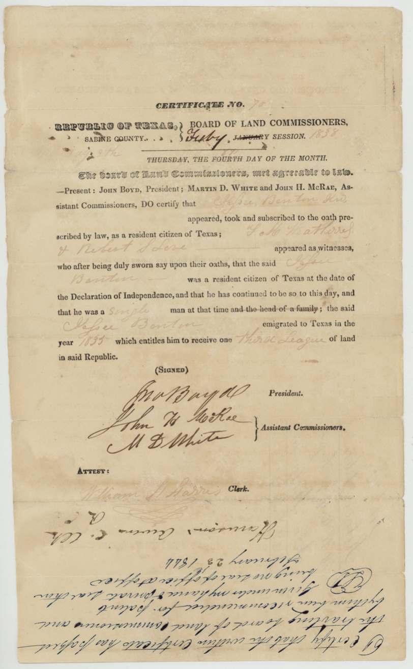
headright 1st class, No. 70, one-third league (8,333,320 sq. varas, located in two surveys), Board of Land Commissioners, Sabine County — John Boyd, President; Martin D. White and John H. McRae, Assistant Commissioners; attest William H. Harris(?), Clerk, Sabine County, 1838-02 (February session, 'Thursday the fourth day of the month'; day partly overwritten).
Witnesses J. M. Weatherred(?) and Robert S. Love(?) swore he was a resident citizen of Texas at the date of the Declaration of Independence and had continued so; a single man at that time; emigrated to Texas in 1835; entitled to one-third league
The survey
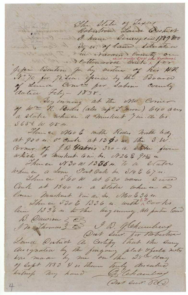
28 Sep 1853, B. J. Chambers, District Surveyor, Robertson Land District.
Navarro County, on Cottonwood Creek; later red annotation 'about 11 miles S 78 W from Corsicana'
Chain carriers: B. Dawson, J. M. Thomas.
Book I(?), page 330, Robertson Land District
The survey
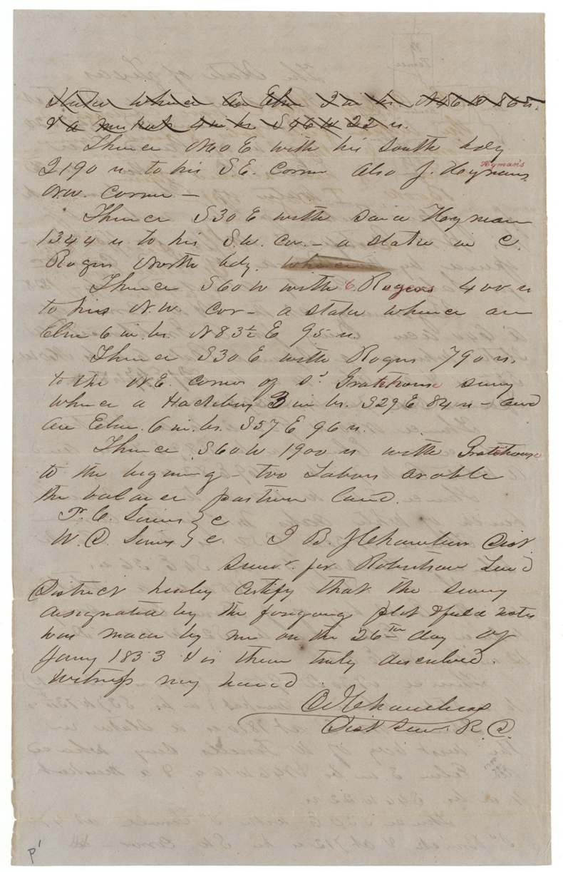
26 Jan 1853, B. J. Chambers, District Surveyor, Robertson Land District.
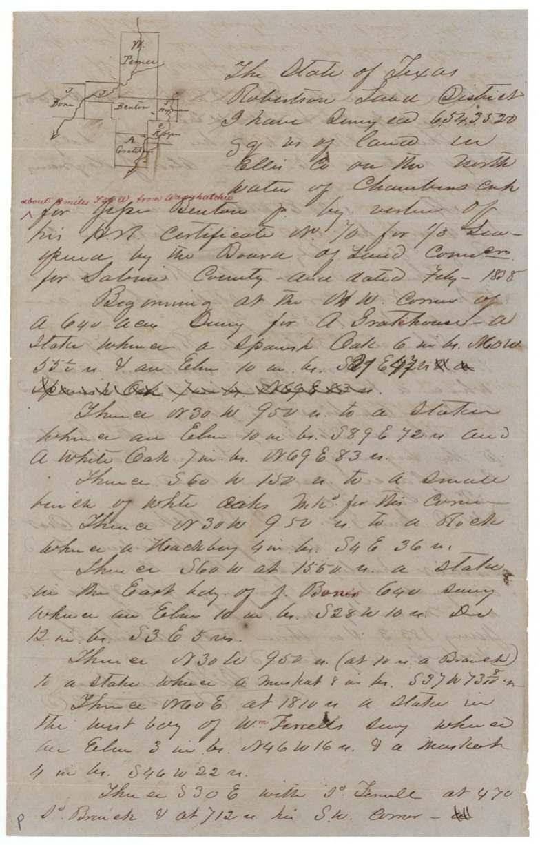
Ellis County, on the north waters of Chambers Creek; later red annotation 'about 8 miles S __ W from Waxahachie'
Chain carriers: T. C. Sims(?), W. C. Sims(?).
Book I, page 331
The patent
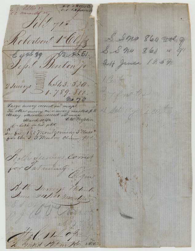
24 Jun 1854, S.S. No. 860, Vol. 9 and S.S. No. 861, Vol. 9 (one patent per survey), to Jesse Benton Jr., delivered to illegible — wrapper foot reads 'Hd. C. 11 Lo(?)' / '2 mailed ... R.' (?).
Also in the file
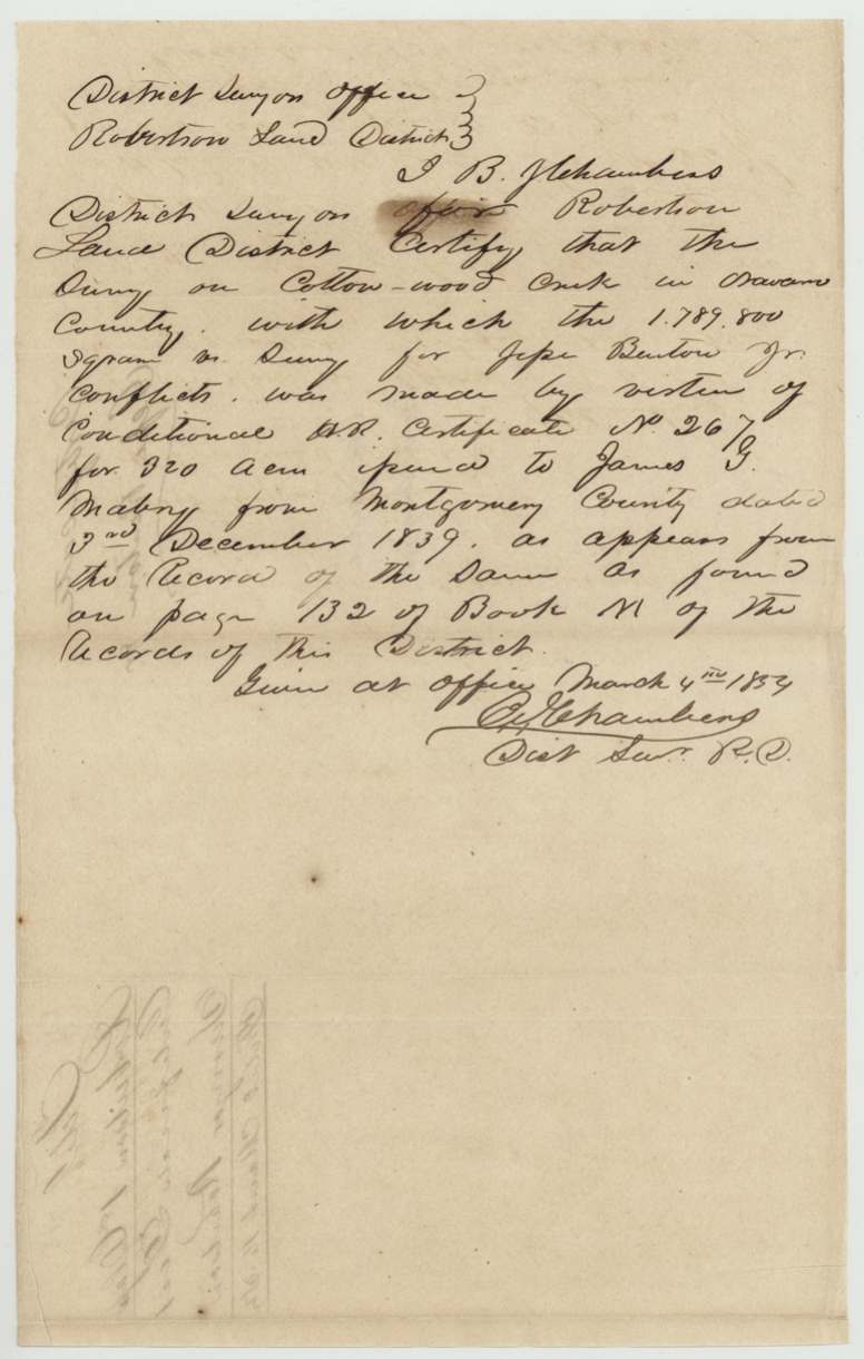
- The smaller Navarro survey was laid on top of land already surveyed for James G. Mabry under a 320-acre Montgomery County certificate from 1839; the GLO draftsman flagged it in March 1854 and a note says a substitute (180? Montgomery 3rd class) answered the Mabry claim — yet Benton's survey was still passed and patented.
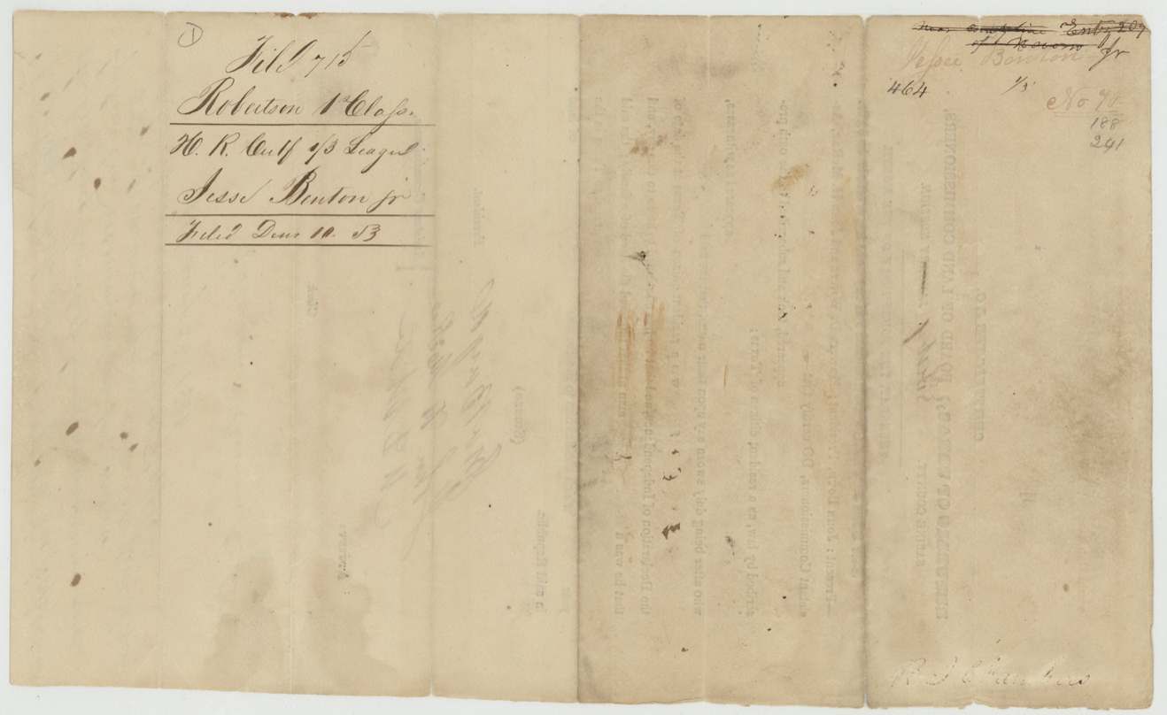
- The 1838 certificate was not filed in the Land Office until December 1853, more than fifteen years after issue.
- The certificate form was printed for a 'January Session' and changed by hand to 'Feby'.
- The surveyor himself paid the government dues on both surveys, suggesting he was handling the patent for Benton or a buyer.
- The survey year on both field notes is written so the '5' looks like a '3' (reads '1833' at a glance); 1853 fits the file dates.
Timeline
- 1835Jesse Benton Jr. emigrates to Texas (per certificate)
- Feb 1838Sabine County Board of Land Commissioners issues 1st-class certificate No. 70 for one-third league
- 3 Dec 1839James G. Mabry's conditional certificate No. 267 (Montgomery Co.) dated — later found under part of Benton's Navarro survey
- 23 Feb 1844Certificate certified as passed by the traveling board and recommended for patent
- 26 Jan 1853B. J. Chambers surveys 6,543,520 sq. vrs on Chambers Creek, Ellis County
- 28 Sep 1853B. J. Chambers surveys 1,789,800 sq. vrs on Cottonwood Creek, Navarro County
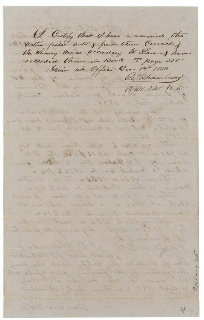
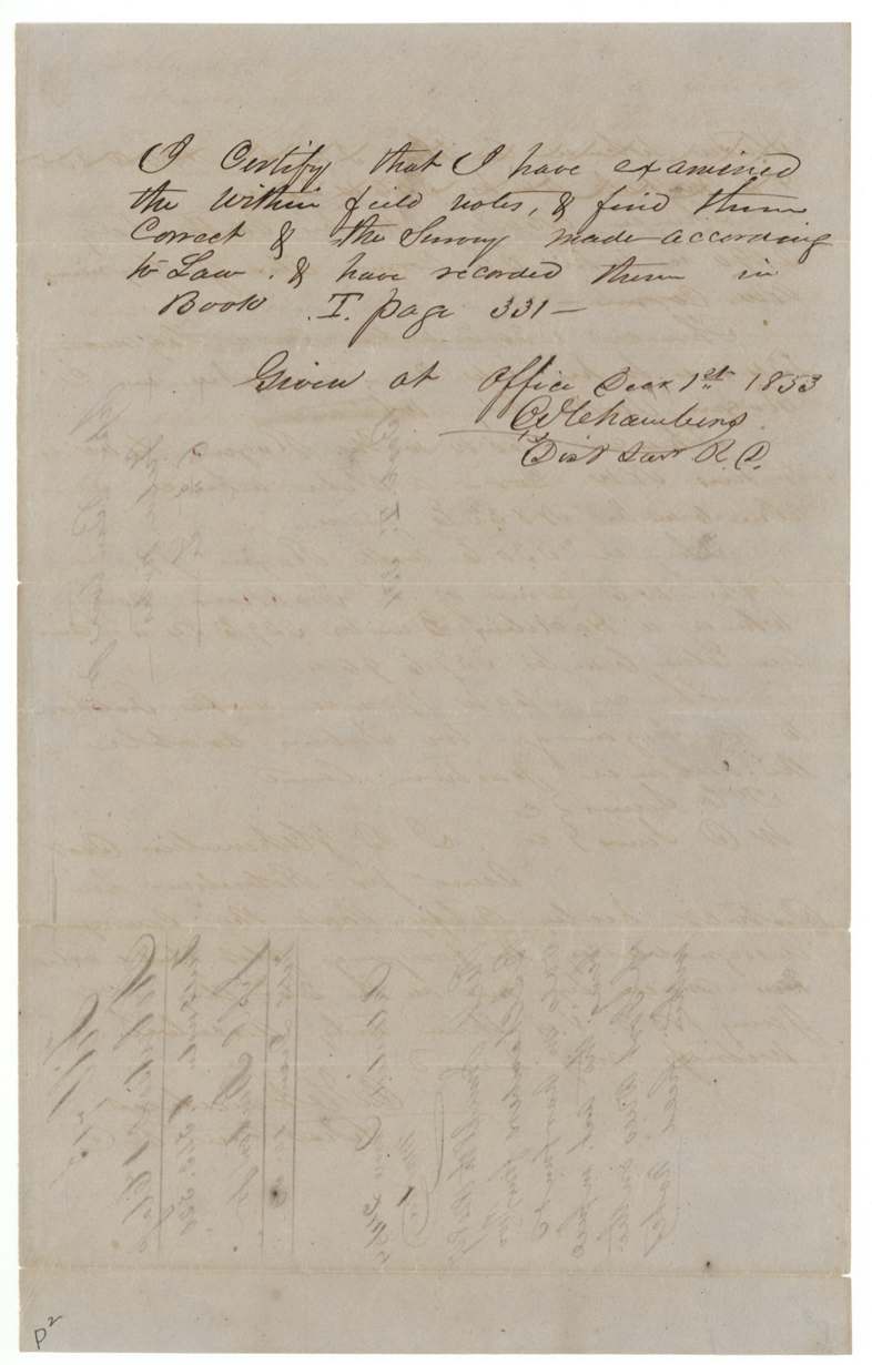
- 1 Dec 1853Both field notes examined and recorded, Book I pp. 330-331
- 10 Dec 1853Certificate and field notes filed in GLO
- 4 Mar 1854Chambers certifies the Mabry conflict
- 31 Mar 1854C. W. Pressler map check notes conflict with Mabry survey
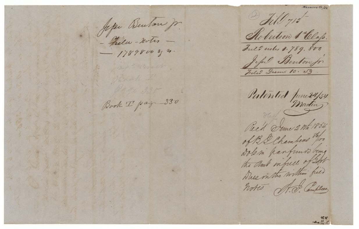
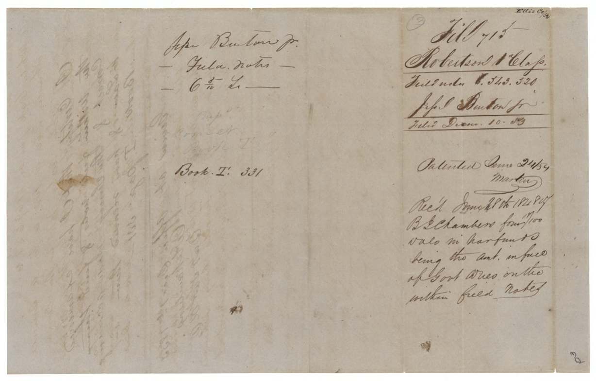
- 24 Jun 1854Both surveys patented (S.S. Nos. 860 and 861, Vol. 9)
The papers in the file
Every page of the Land Office file, in the order the Land Office keeps them (12 pages). Tap a page to see it larger.
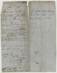 File jacketFile jacket for Jesse Benton Jr.'s one-third league headright, located in two surveys, one in Navarro County and one in Ellis County.General Land Office, file 715, page 1 · in the scan
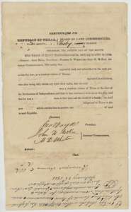 CertificateHeadright certificate No. 70 for one-third of a league issued to Jesse Benton Jr. by the Sabine County land board in February 1838.General Land Office, file 715, page 2 · in the scan
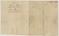 Back of the certificateBack of the Benton certificate, with the Land Office filing note of 10 December 1853.General Land Office, file 715, page 3 · in the scan
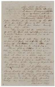 Field notesField notes of 1,789,800 square varas on Cottonwood Creek in Navarro County for Jesse Benton Jr., surveyed by B. J. Chambers, 28 September 1853.General Land Office, file 715, page 4 · in the scan
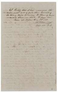 Surveyor's certificateB. J. Chambers' certificate of 1 December 1853 that the Navarro survey is correct and recorded in Book I, page 330.General Land Office, file 715, page 5 · in the scan
 WrapperDocket wrapper for the Cottonwood Creek field notes of Jesse Benton Jr., noting the patent of 24 June 1854.General Land Office, file 715, page 6 · in the scan
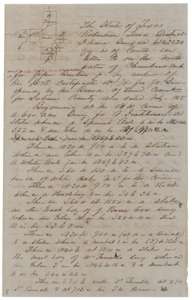 Field notesField notes of 6,543,520 square varas on the north waters of Chambers Creek in Ellis County for Jesse Benton Jr., surveyed by B. J. Chambers.General Land Office, file 715, page 7 · in the scan
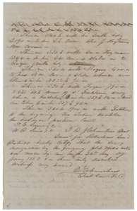 Field notesEnd of the Ellis County field notes, with chain carriers' names and the surveyor's oath of 26 January 1853.General Land Office, file 715, page 8 · in the scan
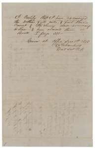 Surveyor's certificateB. J. Chambers' certificate of 1 December 1853 that the Ellis County field notes are correct and recorded in Book I, page 331.General Land Office, file 715, page 9 · in the scan
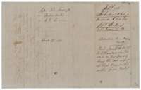 WrapperDocket wrapper for the Ellis County field notes of Jesse Benton Jr., noting the patent of 24 June 1854.General Land Office, file 715, page 10 · in the scan
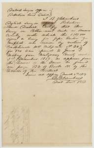 Surveyor's certificateCertificate of District Surveyor B. J. Chambers, 4 March 1854, that the Benton survey on Cottonwood Creek overlaps an earlier survey for James G. Mabry.General Land Office, file 715, page 11 · in the scan
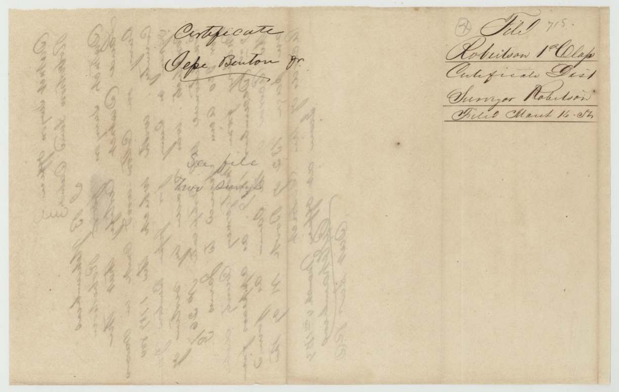
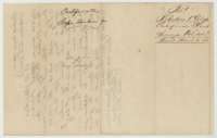 WrapperDocket for the district surveyor's certificate on Jesse Benton Jr.'s file, filed 16 March 1854.General Land Office, file 715, page 12 · in the scan
Scans courtesy of the Texas General Land Office, Austin, from its Land Grant Database.
Neighbouring surveys
Sources
- Texas General Land Office, Land Grant Database: Navarro County, Abstract 51
- The Land Office file, scanned (PDF, at the General Land Office)
- 1924 map: courtesy of the Texas General Land Office, Austin, Map 73249, used under licence. Topo: U.S. Geological Survey, The National Map. Aerial photographs: U.S. Department of Agriculture, National Agriculture Imagery Program, 2012, 2018 and 2022. Survey outlines: Railroad Commission of Texas, Original Texas Land Survey. Grant records and files: Texas General Land Office.