Blackland TX · ← All the original surveys
Luke McLoud Survey, Abstract 533
- Granted to
- Luke McLoud
- Kind of grant
- Headright, second classLand for settlers who came between independence and 1 October 1837.
- Land Office file
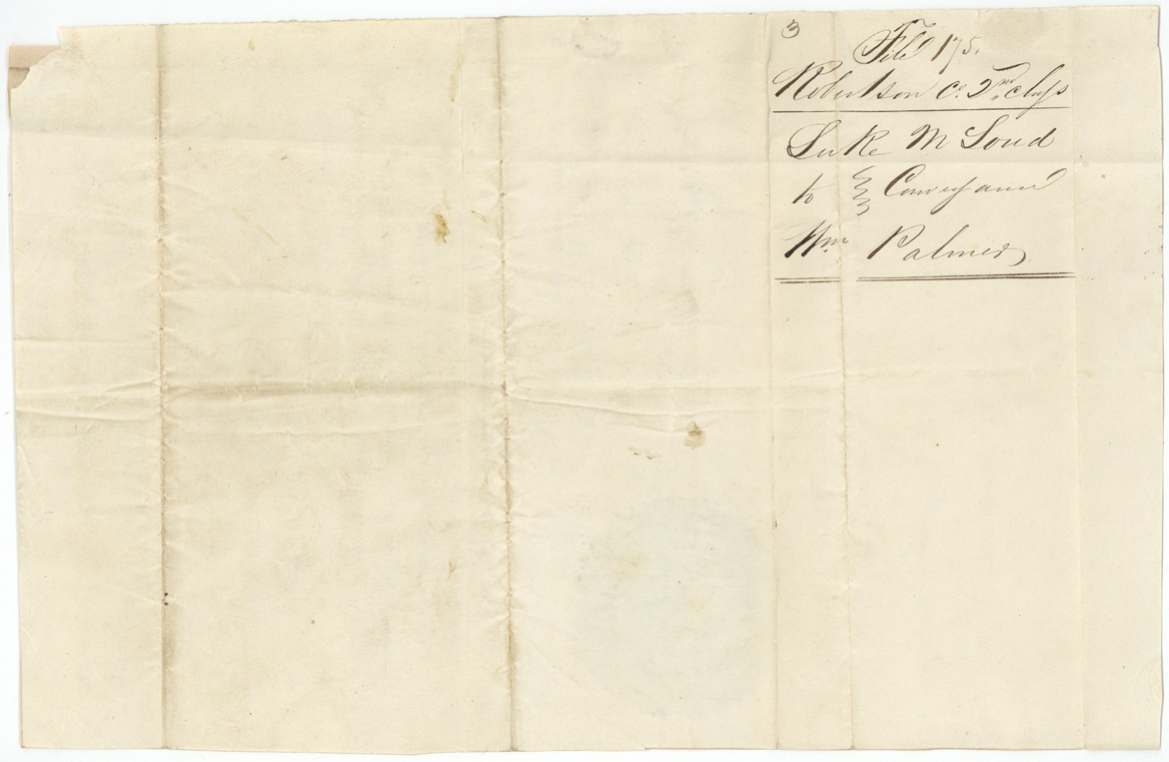
- Robertson 2nd class, file 175
- Certificate
- No. 305
- Acres
- 640
- Patented to
- John Welch
- Patent
- 15 Dec 1847 · No. 165, Vol. 4
Tap a survey to open its page.
What the file shows
Luke McLoud received 2nd-class headright certificate No. 305 for 640 acres from the Jasper County board on 10 Jan 1840 for three years' residence in the Republic, and sold it at once to William Palmer for $150. Robertson County Surveyor C. C. Taylor located it on 26 May 1844 on Cottonwood Creek, a branch of Richland Creek, starting from Ethan Melton's southeast corner, and both he and District Surveyor D. R. Mitchell swore it predated the Mercer colony contract. Palmer sold the certificate to John Roark in 1846 for $60, Roark sold it to John Welch (who had carried the chain on the survey) for $100, and despite a map conflict with a Mercer-colony claim the land was patented to Welch as assignee in December 1847 (No. 165, Vol. 4).
The certificate
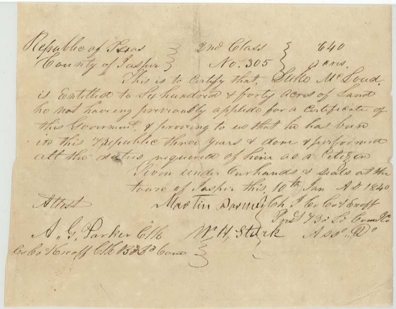
headright 2nd class, No. 305, 640 acres, Board of Land Commissioners for Jasper County: Martin Parmer(?), Ch. J. Co. Ct. & ex off. Presd't Bd. Ld. Comm'rs; Wm. H. Stark, Ass. do.; attest A. G. Parker, Clk Co. Ct. & ex off. Clk Bd. Ld. Com., Town of Jasper, 10 Jan 1840.
Luke McLoud 'not having previously applied for a certificate of this Government, and proving to us that he has been in this Republic three years and done and performed all the duties required of him as a citizen'.
Changes of hand
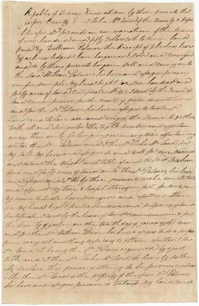
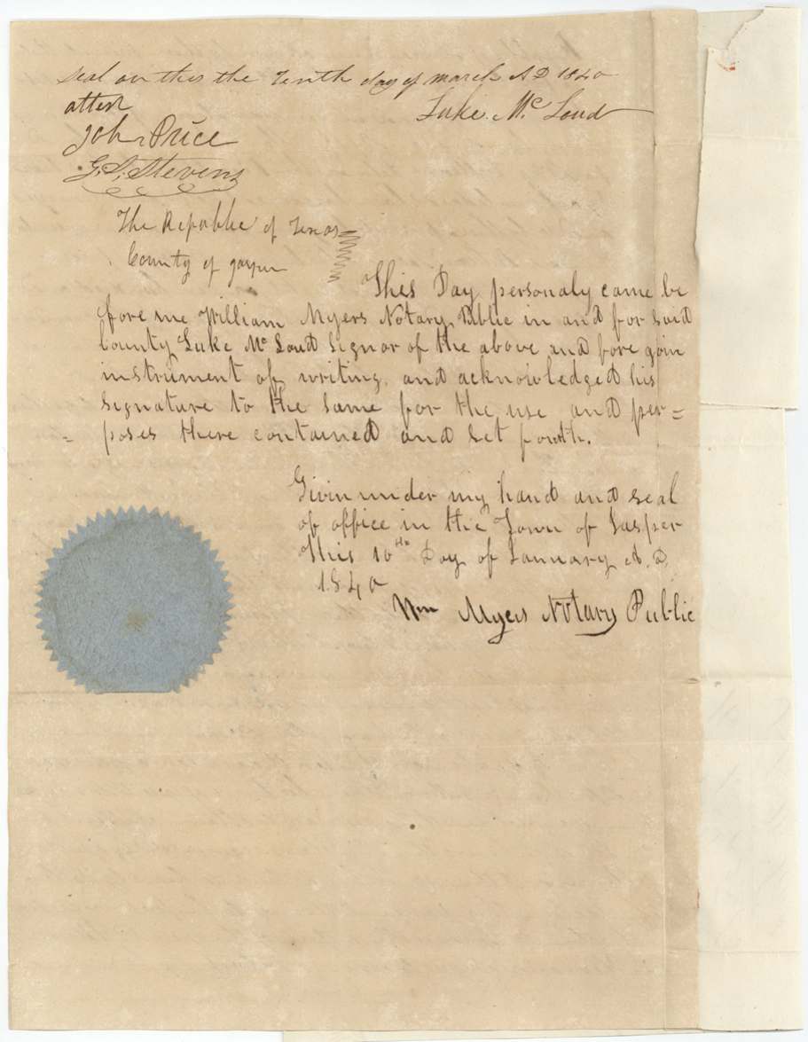
- Deed dated 'tenth day of March 1840'; acknowledged 10 Jan 1840Luke McLoud, of Jasper County → William Palmer, $150 cash, Town of Jasper, Jasper County. Sells headright cert. No. 305 'unconditional' in fee simple and makes Palmer his irrevocable attorney in fact to locate, survey and obtain patent.
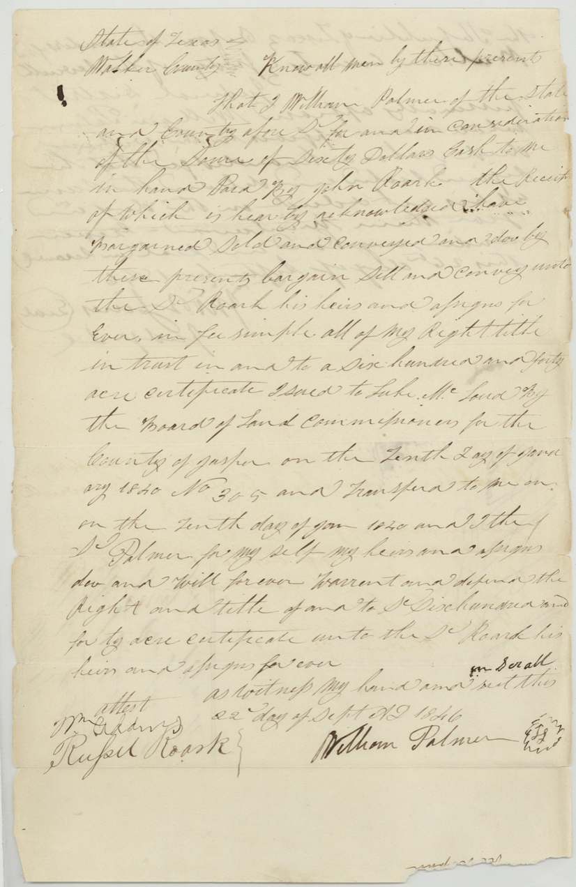
- 22 Sep 1846William Palmer, of Walker County → John Roark, $60 cash, Walker County. Conveys all right, title and interest in the 640-acre cert. No. 305 issued to Luke McLoud 10 Jan 1840 'and transferred to me on the tenth day of Jan 1840'.
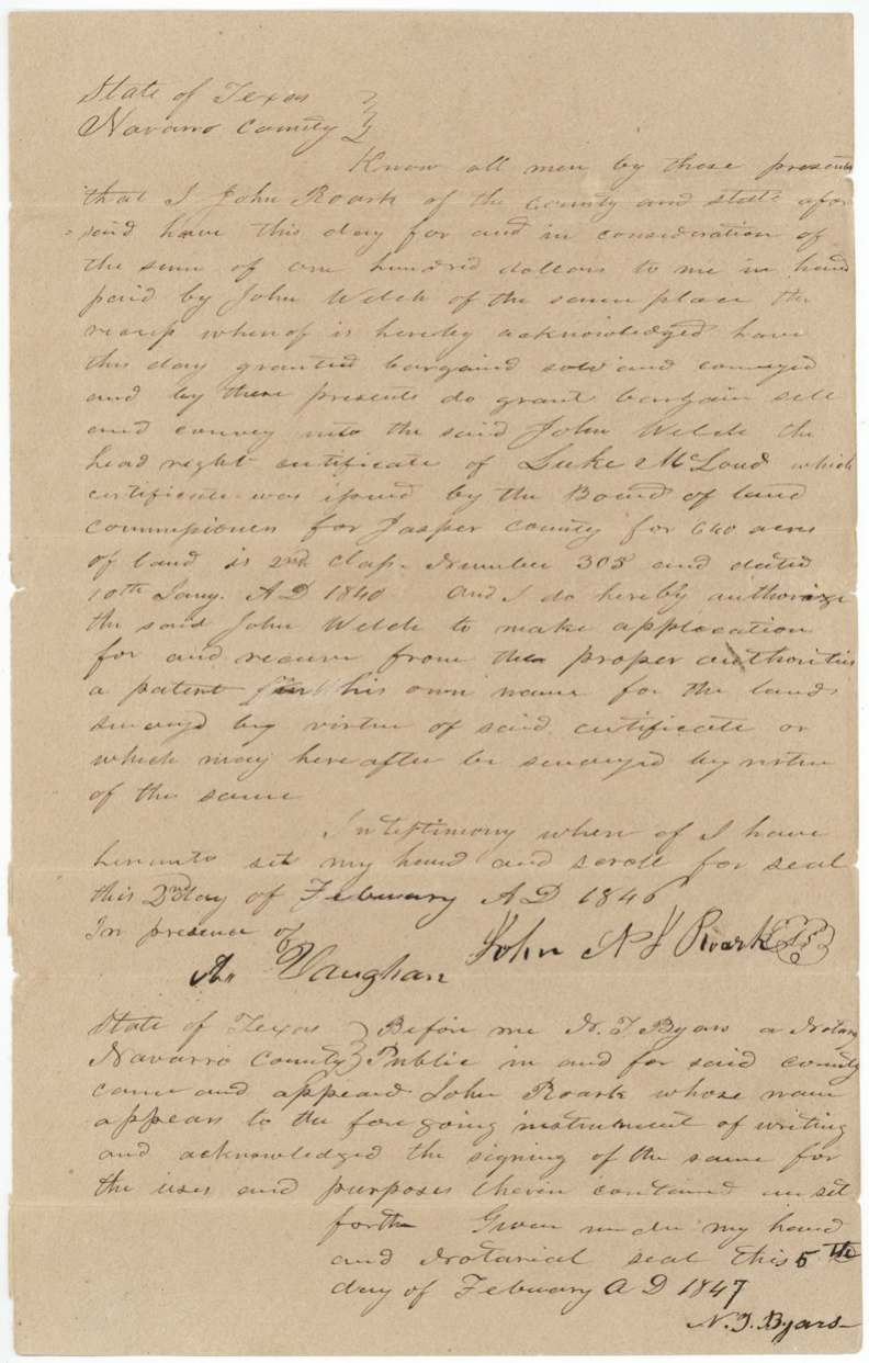
- Dated 2 Feb 1846 (as written); acknowledged 5 Feb 1847John N. F.(?) Roark, of Navarro County → John Welch, of the same place, $100, Navarro County. Sells McLoud's 2nd-class headright cert. No. 305 dated 10 Jan 1840 and authorises Welch to obtain patent in his own name for land surveyed or to be surveyed under it.
The survey
26 May 1844 (oath dated 1 July 1845), C. C. Taylor.
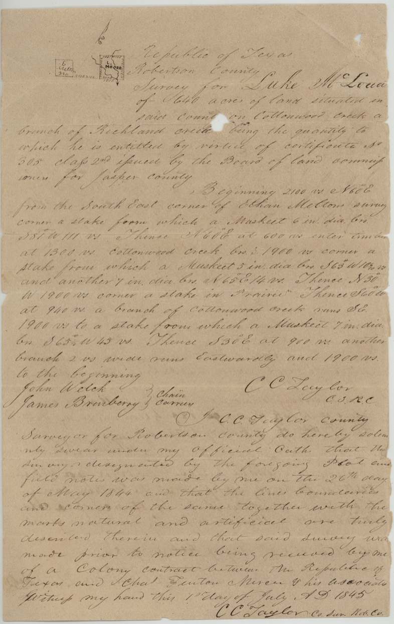
Republic of Texas, Robertson County: 640 acres situated in said county on Cottonwood creek a branch of Richland creek. Beginning 2100 vrs N 60 E from the South East corner of Ethan Melton's survey; at 600 vrs enter timber, at 1300 vrs Cottonwood Creek bears S; square of 1900 vrs per side; branches of Cottonwood Creek crossed.
Chain carriers: John Welch, James Brueberry(?).
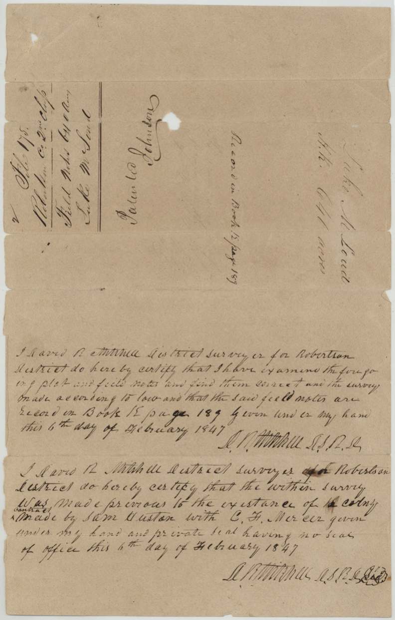
Book K, page 189
The patent
December 1847 (jacket 'Patented Dec 1847'; '15' written in blue near the volume number), No. 165, Vol. 4, to John Welch, assignee, delivered to Jno. Welch, 16 Dec '47 (faint pencil 'Del'd to Jno. Welch 16 Dec 47').
Also in the file
- Map conflict: the tract 'appears in the name of Wm. R. Rhodes(?) in Mercer's Colony' (Creuzbaur, 16 Dec 1847); it was patented anyway because both surveyors swore it predated the Mercer colony contract.
- Roark's deed to Welch is dated 2 Feb 1846, seven months before Roark himself bought from Palmer (22 Sep 1846); it was acknowledged 5 Feb 1847, so '1846' is probably a slip for 1847.
- McLoud's deed to Palmer is dated 'tenth day of March 1840' but acknowledged on 10 Jan 1840, the same day the certificate was issued; Palmer's own deed says the transfer was 10 Jan 1840.
- The certificate dropped in price: $150 in 1840, $60 in 1846, $100 in 1847.
- John Welch carried the chain on the 1844 survey and later bought the certificate and took the patent.
- Plat label 'L. MOORE' in printed capitals does not match the grantee's name; unexplained.
- Survey made in 1844 under 'Robertson County' heading, before Navarro County existed.
Timeline
- 10 Jan 1840Jasper County board issues 2nd-class headright cert. No. 305 (640 ac) to Luke McLoud; same day he acknowledges sale to William Palmer for $150
- 26 May 1844C. C. Taylor surveys 640 ac on Cottonwood Creek, branch of Richland Creek, near Ethan Melton's survey
- 1 Jul 1845Taylor swears survey predates notice of Mercer colony contract
- 22 Sep 1846Palmer (Walker Co.) sells certificate to John Roark for $60
- 5 Feb 1847Roark acknowledges sale to John Welch for $100 before N. T. Byars (deed dated 2 Feb 1846 as written)
- 6 Feb 1847District Surveyor D. R. Mitchell examines, records Book K p. 189, certifies pre-Mercer status
- 16 Dec 1847Creuzbaur map check: conflicts with Wm. R. Rhodes(?) in Mercer's Colony, otherwise correct
- Dec 1847Patented to John Welch, assignee, No. 165 Vol. 4; delivered to Welch 16 Dec 1847
The papers in the file
Every page of the Land Office file, in the order the Land Office keeps them (13 pages). Tap a page to see it larger.
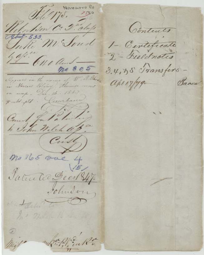
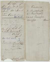 File jacketFile jacket for Luke McLoud's headright, 640 acres, listing the certificate, field notes and three transfers.General Land Office, file 175, page 1 · in the scan
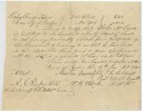 CertificateCertificate No. 305 for 640 acres issued to Luke McLoud by the Jasper County land board at Jasper, 10 January 1840.General Land Office, file 175, page 2 · in the scan
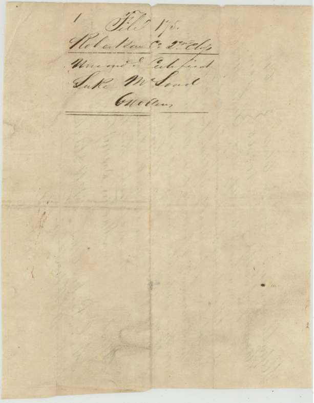
 Back of the certificateBack of the McLoud certificate, with the Robertson County 2nd Class file docket.General Land Office, file 175, page 3 · in the scan
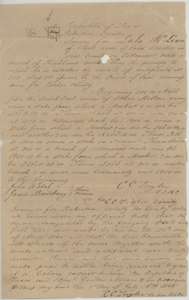 Field notesField notes for 640 acres for Luke McLoud on Cottonwood Creek, a branch of Richland Creek, surveyed by C. C. Taylor, 26 May 1844.General Land Office, file 175, page 4 · in the scan
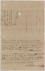 Surveyor's certificateDistrict Surveyor David R. Mitchell's certificates of 6 February 1847 that the McLoud survey is recorded in Book K, page 189, and predates the Mercer colony contract.General Land Office, file 175, page 5 · in the scan
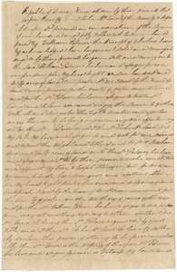 TransferDeed in which Luke McLoud of Jasper County sells his certificate for 640 acres to William Palmer for $150 and names him his attorney.General Land Office, file 175, page 6 · in the scan
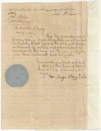 TransferEnd of the McLoud to Palmer deed, witnessed and acknowledged before William Myers, notary public of Jasper County.General Land Office, file 175, page 7 · in the scan
 WrapperFiling wrapper for the transfer from Luke McLoud to William Palmer.General Land Office, file 175, page 8 · in the scan
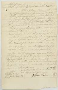 TransferDeed of 22 September 1846 in which William Palmer of Walker County sells the McLoud certificate to John Roark for $60.General Land Office, file 175, page 9 · in the scan
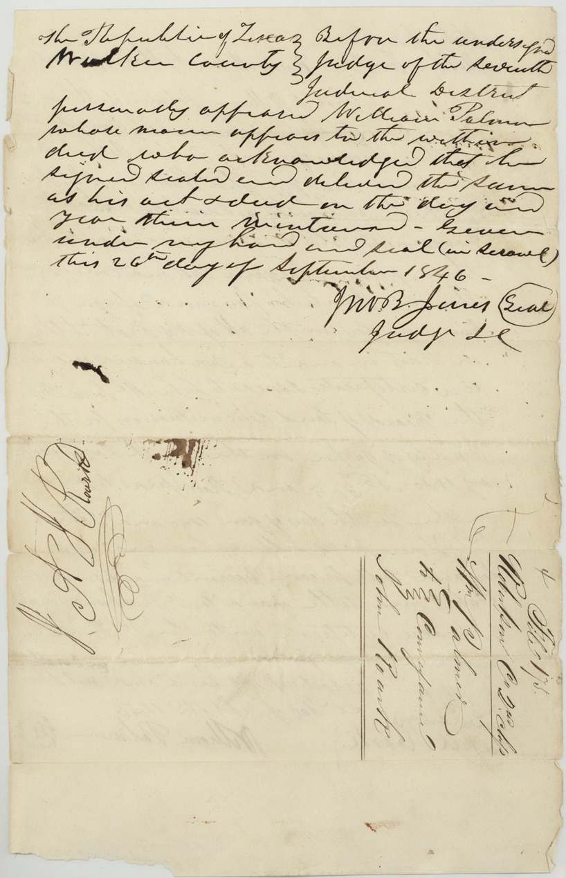
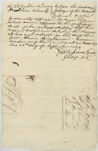 AffidavitAcknowledgment of the Palmer to Roark deed before the judge of the Seventh Judicial District, 26 September 1846, with docket notes.General Land Office, file 175, page 10 · in the scan
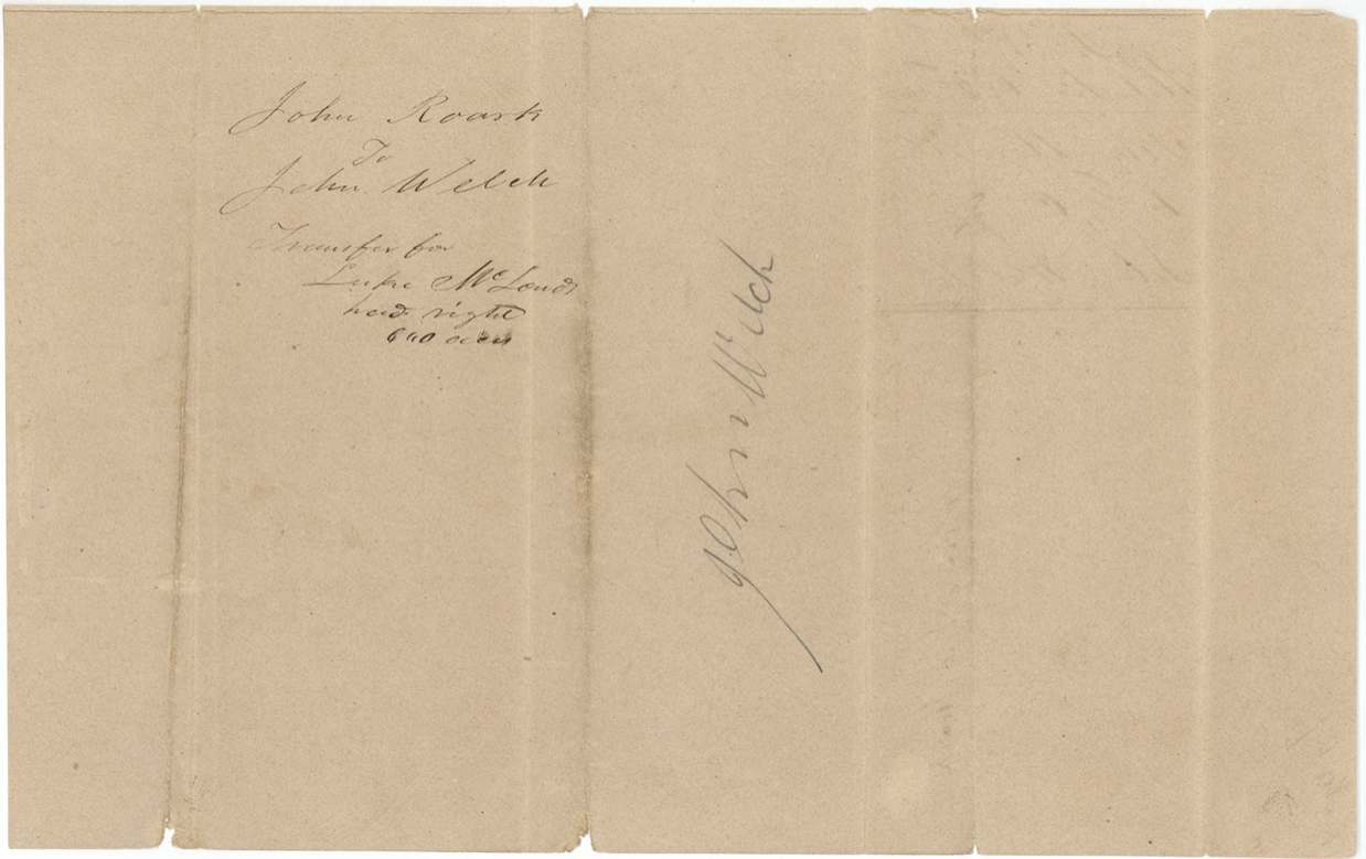
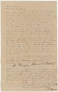 TransferDeed in which John Roark of Navarro County sells the McLoud certificate to John Welch for $100, acknowledged 5 February 1847.General Land Office, file 175, page 11 · in the scan
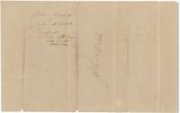 WrapperFiling wrapper for the transfer from John Roark to John Welch of Luke McLoud's headright.General Land Office, file 175, page 12 · in the scan
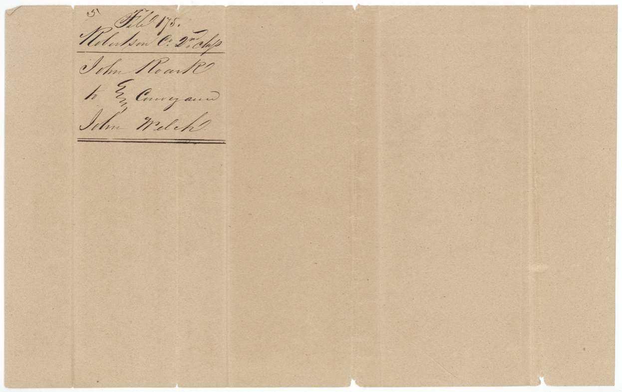
 WrapperFiling wrapper for the transfers from John Roark to John Welch, File 175, Robertson County 2nd Class.General Land Office, file 175, page 13 · in the scan
Scans courtesy of the Texas General Land Office, Austin, from its Land Grant Database.
Neighbouring surveys
Sources
- Texas General Land Office, Land Grant Database: Navarro County, Abstract 533
- The Land Office file, scanned (PDF, at the General Land Office)
- 1924 map: courtesy of the Texas General Land Office, Austin, Map 73249, used under licence. Topo: U.S. Geological Survey, The National Map. Aerial photographs: U.S. Department of Agriculture, National Agriculture Imagery Program, 2012, 2018 and 2022. Survey outlines: Railroad Commission of Texas, Original Texas Land Survey. Grant records and files: Texas General Land Office.