Blackland TX · ← All the original surveys
Elias P. Cook Survey, Abstract 163
- Granted to
- Elias P. Cook
- Kind of grant
- Headright, third classLand for later settlers, including the colonists of Mercer’s Colony.
- Land Office file
- Robertson 3rd class, file 267
- Certificate
- No. 71
- Acres
- 320
- Patented to
- C. C. Taylor
- Patent
- 27 Nov 1848 · No. 861, Vol. 4
Tap a survey to open its page.
What the file shows
Elias P. Cook, a single man who had been a citizen of the Republic three years, received unconditional headright certificate No. 71 (4th class) for 320 acres from the Robertson County Board of Land Commissioners at Franklin on 7 Oct 1844. County surveyor C. C. Taylor located it on Cottonwood Creek, a northerly branch of Richland Creek, about 15 miles SE of Navarro, and the survey was recorded in Robertson District Book M p. 20 in 1845. Cook sold the certificate to Richard Lamb for $50 in 1845, and Lamb sold it to the surveyor C. C. Taylor for $50 in 1848. After the GLO noted the land lay in Mercer's Colony and that the map showed it in W. H. Gray's name, the district surveyor certified no conflict, and the patent (No. 861 Vol. 4) issued to Taylor as assignee in November 1848.
The certificate
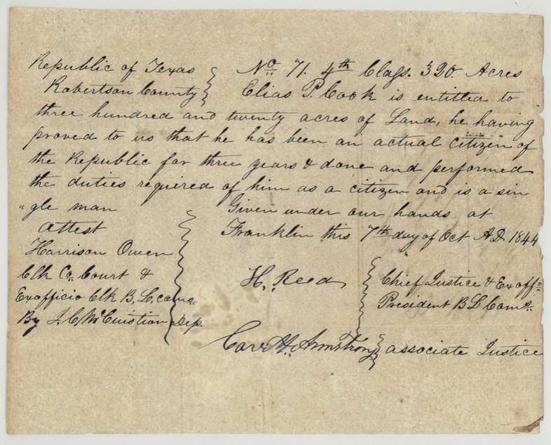
headright 4th class (filed by GLO as Robertson 3rd class), No. 71, 320 acres, Board of Land Commissioners, Robertson County — H. Reed, Chief Justice & ex officio President B.L.Com.; Carr(?) H. Armstrong, Associate Justice; attest Harrison Owen, Clk Co. Court & ex officio Clk B.L.Com., by J. C. McCuistion(?), Dep., Franklin [Robertson County], 7 Oct 1844.
proved he had been an actual citizen of the Republic for three years and done and performed the duties required of him as a citizen; a single man
Changes of hand
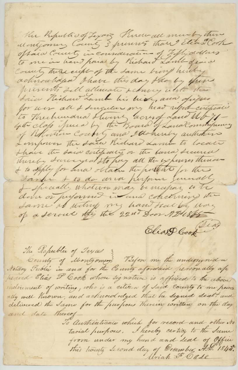
- 22 Dec 1845Elias P. Cook, of Montgomery County → Richard Lamb, of Montgomery County, $50, Montgomery County, Republic of Texas. Sells 'all & singular my head right certificate' No. 71, 4th class, and empowers Lamb to locate, survey, pay expenses and obtain patent. Signed with seal 'by way of a scrawl'. Notary says Cook is 'a citizen of said County'.
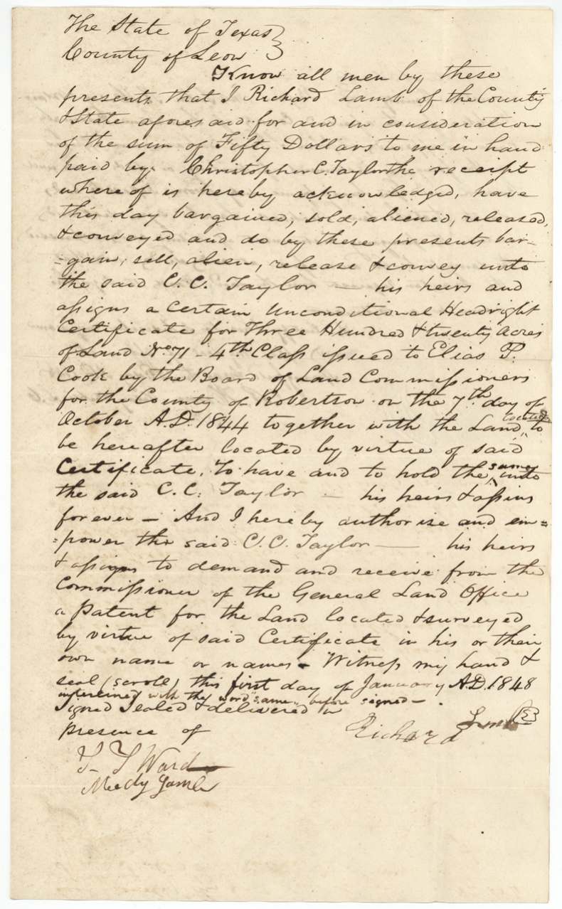
- 1 Jan 1848Richard Lamb, of Leon County → Christopher C. Taylor, $50, Leon County, State of Texas. Conveys certificate No. 71 'together with the land located or to be hereafter located' and authorises Taylor to take patent in his own name. Interlineation 'located or' and 'same' noted before signing.
The survey
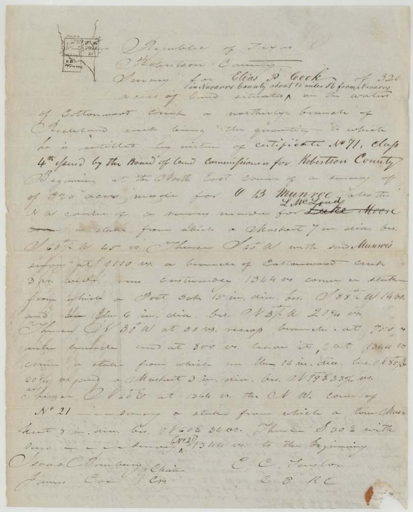
1844-05-30 (per surveyor's oath dated 1844-08-01), C. C. Taylor.
In Navarro County about 15 miles SE from Navarro [interlined], on the waters of Cottonwood Creek, a northerly branch of Richland Creek; begins at NE corner of 320-acre survey of O. B. Munroe, also NW corner of survey for L. McLoud (Luke Moore struck through); line crosses a branch of Cottonwood Creek 3 vrs wide running eastwardly; ends at NW corner of No. 21
Chain carriers: Isaac Crumbury(?), James Cox.
Book M, page 20
The patent
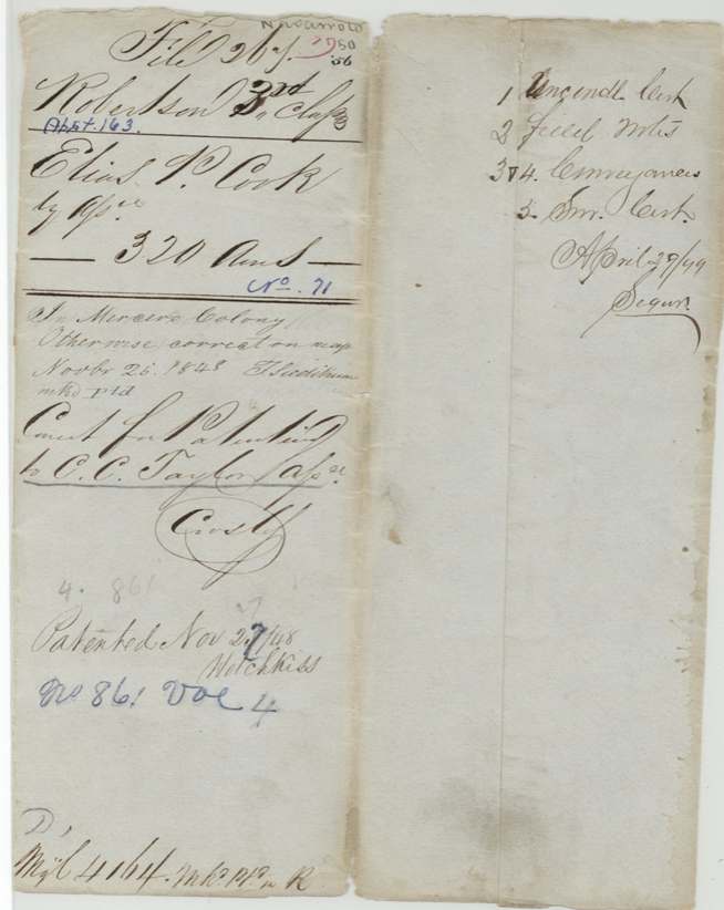
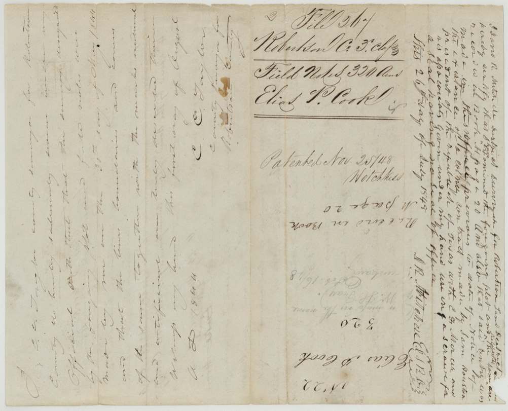
1848-11-25 (inner jacket; outer jacket reads Nov 27(?)/48), No. 861, Vol. 4, to C. C. Taylor, assignee, delivered to unclear — jacket note 'April 29/49 Seguin(?)'.
Also in the file
- Certificate is 4th class but GLO files it as Robertson 3rd class.
- Land was found to lie in Mercer's Colony; the district surveyor certified the entry predated notice of the Mercer contract.
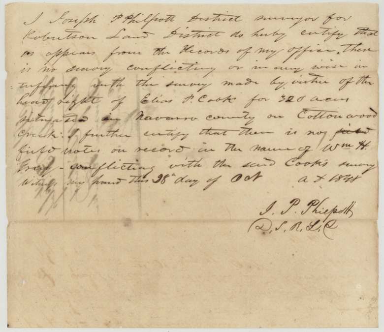
- The land was shown on the GLO map in the name of W. H. Gray; Philpott certified no Gray field notes conflicted (Oct 1848) before patent.
- The surveyor C. C. Taylor surveyed the land in 1844 and later bought the certificate (1848) and took the patent himself.
- Survey (May 1844) predates the certificate's issue date (7 Oct 1844) as written.
- Neighbour call 'Luke Moore' struck through and replaced with 'L. McLoud'.
- Patent date read as Nov 25/48 on one jacket and Nov 27(?)/48 on the other.
Timeline
- 30 May 1844C. C. Taylor surveys 320 acres on Cottonwood Creek for Elias P. Cook
- 1 Aug 1844Taylor swears to the survey as Robertson County surveyor
- 7 Oct 1844Certificate No. 71, 4th class, issued at Franklin to Cook, single man, three years a citizen
- 26 Jul 1845District Surveyor D. R. Mitchell examines and records in Book M p. 20; entry predates Mercer contract notice
- 22 Dec 1845Cook sells certificate to Richard Lamb for $50, Montgomery County
- 1 Jan 1848Lamb (now of Leon County) sells to C. C. Taylor for $50
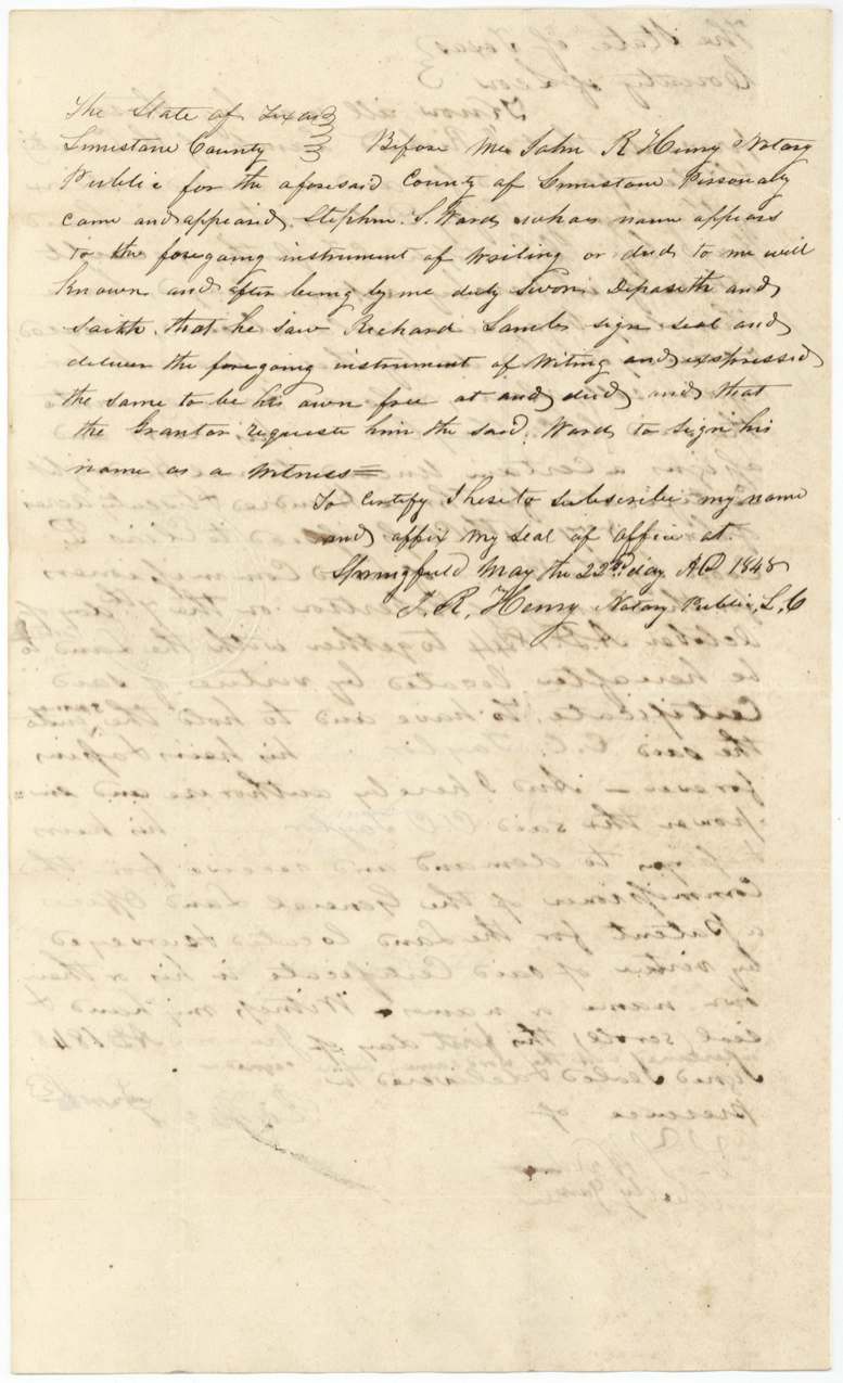
- 22 May 1848Witness S. S. Ward proves the Lamb deed at Springfield, Limestone County
- 16 Oct 1848GLO map note: land shown in name of W. H. Gray
- 28 Oct 1848J. P. Philpott certifies no conflicting survey
- 25 Nov 1848Patent No. 861 Vol. 4 to C. C. Taylor, assignee
- 29 Apr 1849Jacket note (delivery?) 'Seguin(?)'
The papers in the file
Every page of the Land Office file, in the order the Land Office keeps them (12 pages). Tap a page to see it larger.
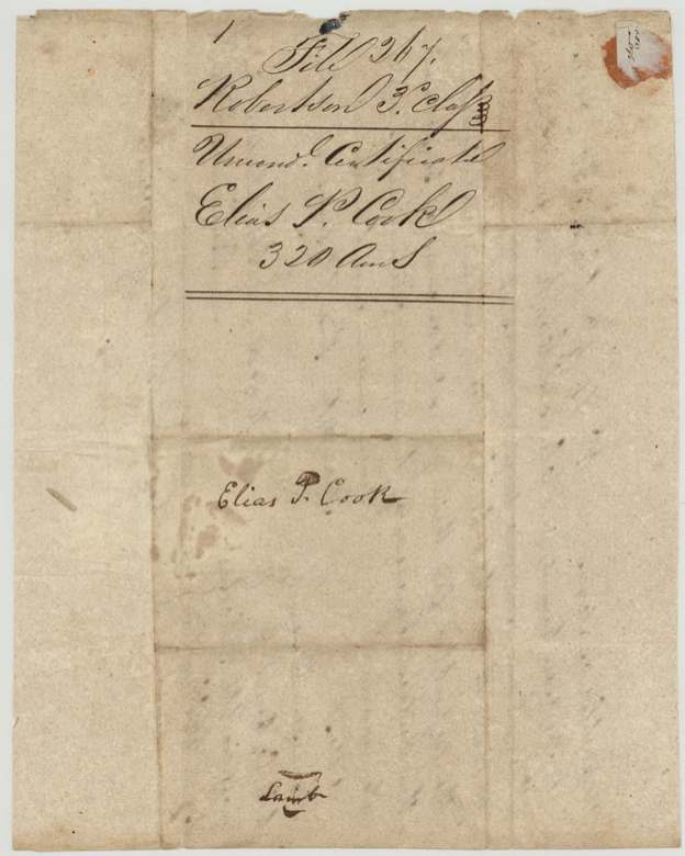
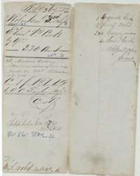 File jacketFile jacket for the headright of Elias P. Cook, 320 acres, listing the certificate, field notes and conveyances.General Land Office, file 267, page 1 · in the scan
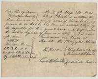 CertificateHeadright certificate No. 71 issued 7 October 1844 by the Board of Land Commissioners of Robertson County to Elias P. Cook for 320 acres.General Land Office, file 267, page 2 · in the scan
 WrapperFiling wrapper for the Elias P. Cook certificate for 320 acres.General Land Office, file 267, page 3 · in the scan
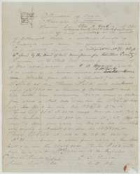 Field notesField notes for 320 acres on Cottonwood Creek in Navarro County, surveyed for Elias P. Cook by county surveyor C. C. Taylor in 1844.General Land Office, file 267, page 4 · in the scan
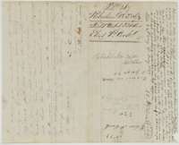 WrapperBack of the field notes, with the surveyor's oath and Land Office notes that the land was patented 25 November 1848.General Land Office, file 267, page 5 · in the scan
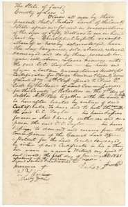 TransferDeed of 1 January 1848 in which Richard Lamb of Leon County sells Elias P. Cook's certificate No. 71 to Christopher C. Taylor for $50.General Land Office, file 267, page 6 · in the scan
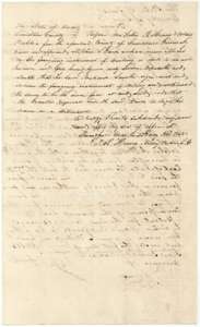 TransferSecond page of the Lamb to Taylor deed, with the proof of signature before a notary at Springfield, 22 May 1848.General Land Office, file 267, page 7 · in the scan
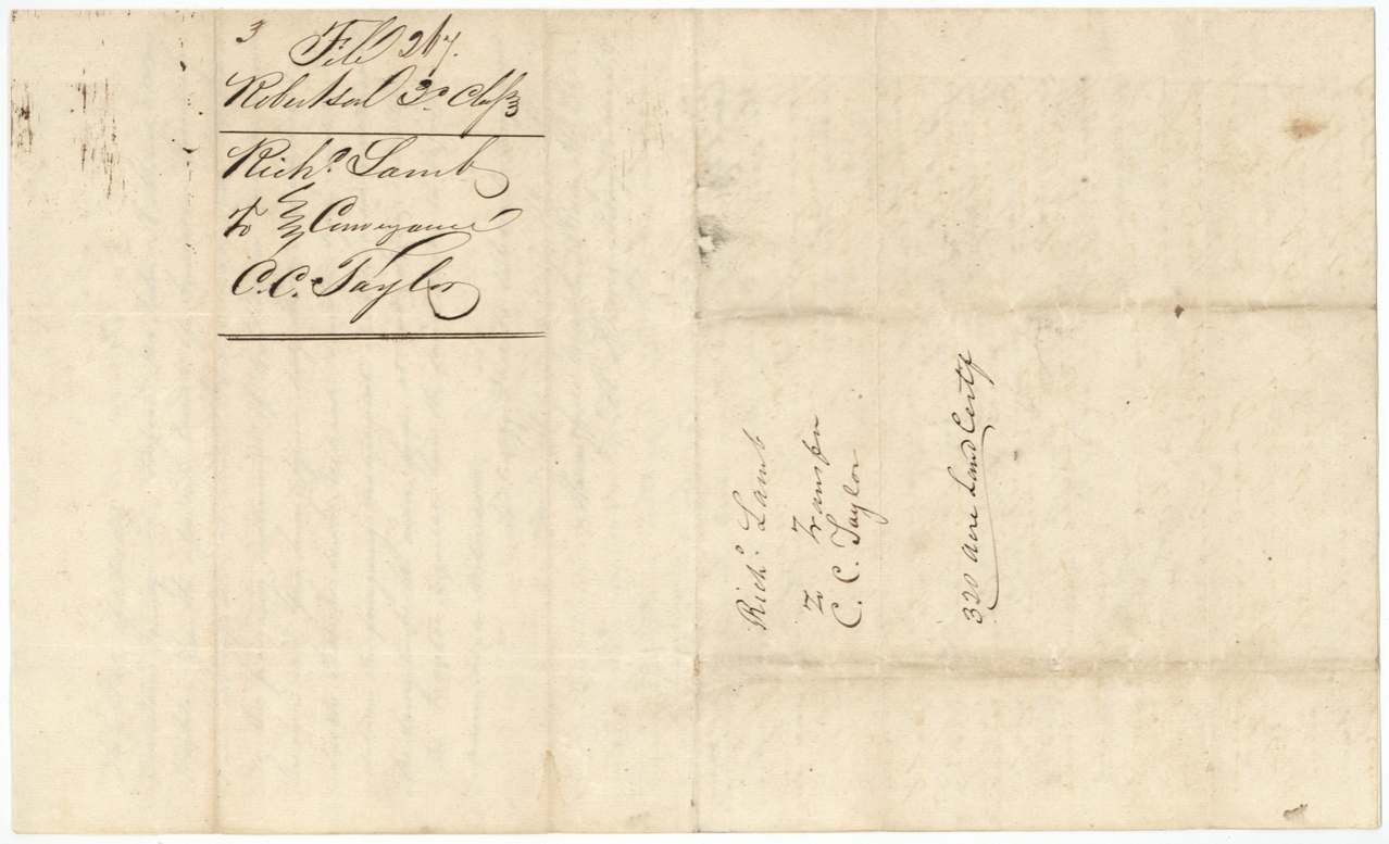
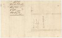 WrapperFiling wrapper for the conveyance from Richard Lamb to C. C. Taylor.General Land Office, file 267, page 8 · in the scan
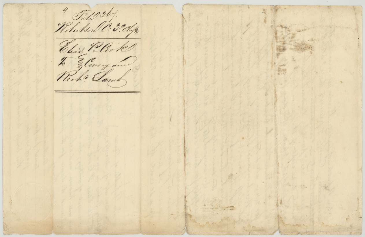
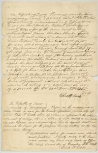 TransferDeed of 22 December 1845 in which Elias P. Cook of Montgomery County sells his certificate No. 71 to Richard Lamb for $50.General Land Office, file 267, page 9 · in the scan
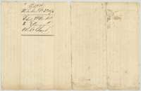 WrapperFiling wrapper for the conveyance from Elias P. Cook to Richard Lamb.General Land Office, file 267, page 10 · in the scan
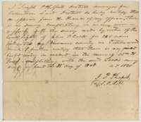 Surveyor's certificateCertificate of 28 October 1848 by district surveyor Joseph P. Philpott that no conflicting survey was on record against the Cook survey.General Land Office, file 267, page 11 · in the scan
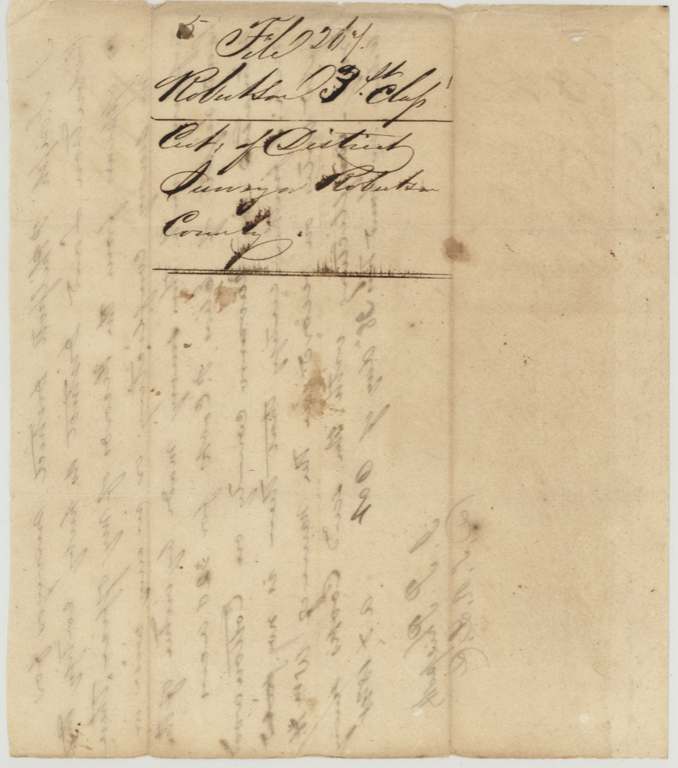
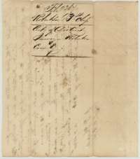 WrapperFiling wrapper for the surveyor's certificate on the Cook survey.General Land Office, file 267, page 12 · in the scan
Scans courtesy of the Texas General Land Office, Austin, from its Land Grant Database.
Neighbouring surveys
Sources
- Texas General Land Office, Land Grant Database: Navarro County, Abstract 163
- The Land Office file, scanned (PDF, at the General Land Office)
- 1924 map: courtesy of the Texas General Land Office, Austin, Map 73249, used under licence. Topo: U.S. Geological Survey, The National Map. Aerial photographs: U.S. Department of Agriculture, National Agriculture Imagery Program, 2012, 2018 and 2022. Survey outlines: Railroad Commission of Texas, Original Texas Land Survey. Grant records and files: Texas General Land Office.