Blackland TX · ← All the original surveys
D. W. Kinison Survey, Abstract 461
- Granted to
- D. W. Kinison
- Kind of grant
- Headright, third classLand for later settlers, including the colonists of Mercer’s Colony.
- Land Office file
- Robertson 3rd class, file 1916
- Certificate
- No. 1170
- Acres
- 320
- Patented to
- Alexander Beaton
- Patent
- 29 Aug 1854 · No. 465, Vol. 10
Tap a survey to open its page.
What the file shows
Daniel W. Kinison received Mercer's Colony certificate No. 1170 for 320 acres at Corsicana on 5 December 1850 and transferred it four days later to George W. Cooper, who sold it to Alexander Beaton for $75 on 2 April 1853. Deputy surveyor Wm. L. Browning located it on 22 October 1853 on Cottonwood branch about 11 miles from Corsicana, adjoining W. R. Rodes, with Thos. and Elijah Melton among the chain carriers. The district surveyor reported that the ground conflicted with an older survey under O. B. Monroe's 1837 bounty warrant No. 1432, and the GLO confirmed that warrant with the military office. The land was nonetheless patented to Alexander Beaton, assignee, on 29 August 1854 (No. 465, Vol. 10).
The certificate
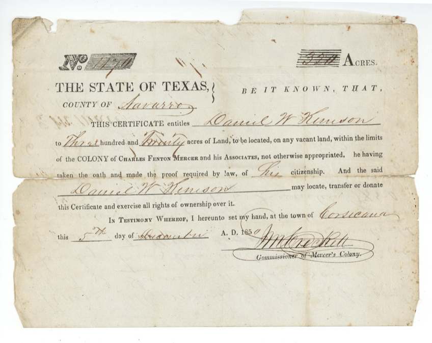
No. 1170, 320 acres, J. M. (John M.) Crockett, Commissioner of Mercer's Colony, Town of Corsicana, Navarro County, 5 Dec 1850.
Mercer's Colony colonist certificate entitling Daniel W. Kinison [written 'Kenison/Kimison'] to 320 acres of vacant land within the colony, 'he having taken the oath and made the proof required by law of his citizenship'. Family status not stated.
Changes of hand
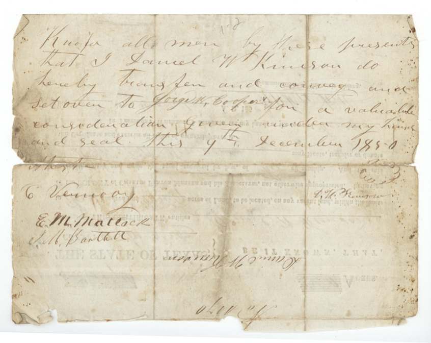
- 9 Dec 1850Daniel W. Kinison → George W. Cooper, 'a valuable consideration', Navarro County. Written on the back of the certificate four days after it was issued.
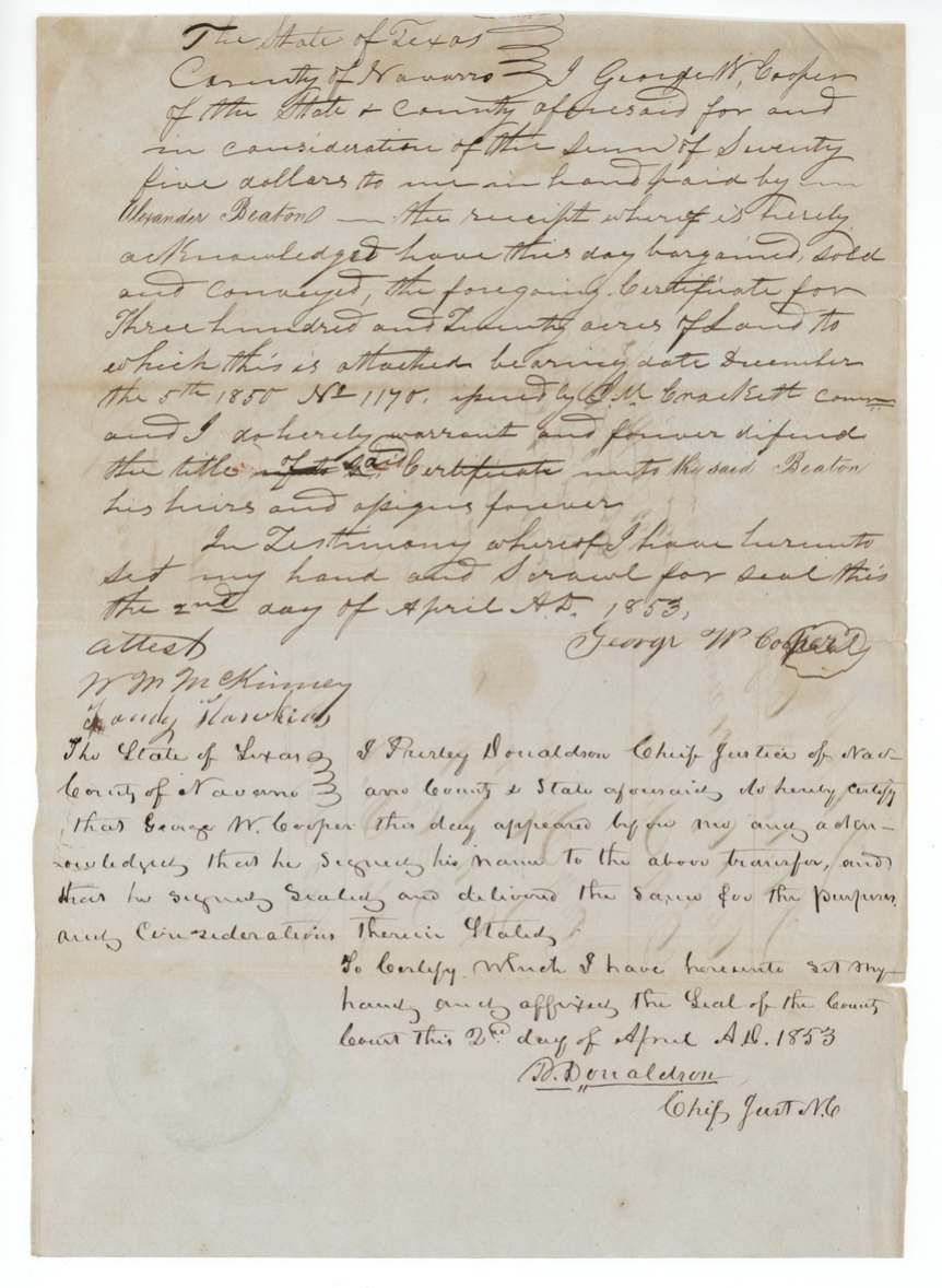
- 2 Apr 1853George W. Cooper, of Navarro County → Alexander Beaton, his heirs and assigns, $75, Navarro County. Warranty of title to certificate No. 1170; 'scrawl for seal'. Filed for record Navarro County 9 May 1854, recorded Book of Deeds pp. 88-89, R. W. White, clerk.
The survey
22 Oct 1853, Wm. L. Browning.
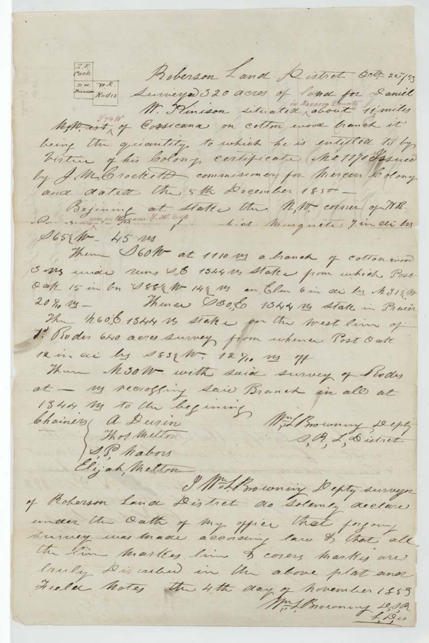
320 acres for Daniel W. Kinison 'situated [in Navarro County] about 11 miles [N]West [red: S 74 W] of Corsicana on Cotton Wood branch'. Beginning at stake, the N.W. corner of W. R. Rodes' [survey] [interlined: 'now in the name L. McLeod(?)'], mesquite; S 60 W at 1110 vrs a branch of Cottonwood, 1344 vrs stake (post oak, elm); S 30 E 1344 vrs stake in prairie; N 60 E 1344 vrs stake on W line of [J?] Rodes' 640-acre survey (post oak); N 30 W with Rodes, recrossing said branch, in all 1344 vrs to beginning.
Chain carriers: A. Durin(?), Thos. Melton, S. P. Nabors, Elijah Melton.
Robertson District Book V(?) p. 192
The patent
29 Aug 1854, No. 465, Vol. 10, to Alexander Beaton, assignee, delivered to A. Beaton (via 'Elgin' notation).
Also in the file
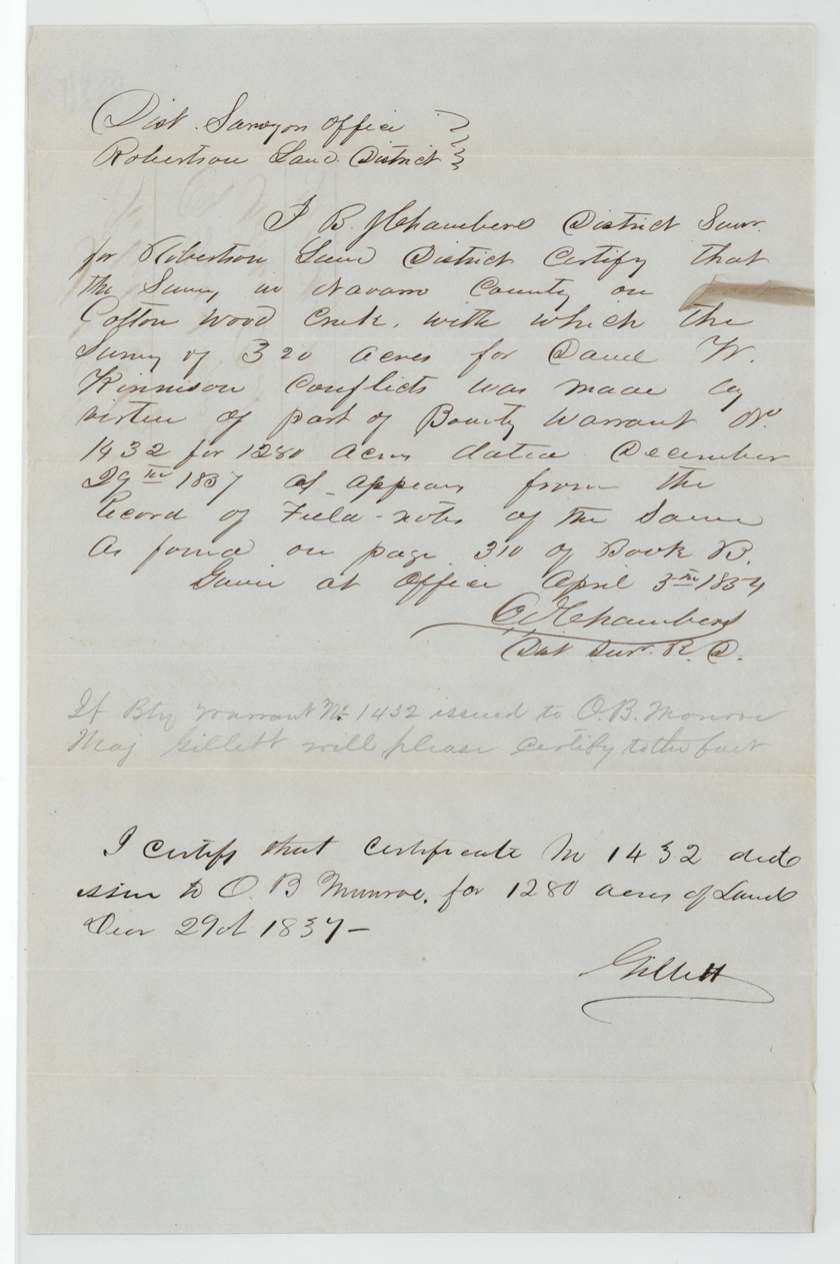
- Survey conflicts with an older survey on Cottonwood Creek made under bounty warrant No. 1432 (1280 acres, 29 Dec 1837) issued to O. B. Monroe/Munroe; patented anyway, noted 'on a survey marked O. B. Monroe'.
- Direction from Corsicana first written 'Northwest', corrected in red to S 74 W.
- Kinison sold four days after receiving the certificate.
Timeline
- 29 Dec 1837Bounty warrant No. 1432 (1280 ac) issued to O. B. Monroe - later part-located on the same ground
- 5 Dec 1850Mercer Colony certificate No. 1170 issued to Daniel W. Kinison at Corsicana
- 9 Dec 1850Kinison transfers certificate to George W. Cooper
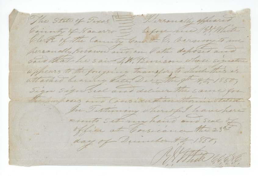
- 23 Dec 1850Transfer proved before R. W. White
- 2 Apr 1853Cooper sells to Alexander Beaton for $75
- 22 Oct 1853Wm. L. Browning surveys 320 ac on Cottonwood branch, Melton men carrying chain
- 3 Apr 1854District surveyor certifies conflict with bounty warrant 1432 survey
- 15 May 1854Papers filed in GLO
- 23 Aug 1854Map check by C. W. Pressler: lies on O. B. Monroe survey
- 29 Aug 1854Patent No. 465 Vol. 10 to Alexander Beaton, assignee
The papers in the file
Every page of the Land Office file, in the order the Land Office keeps them (10 pages). Tap a page to see it larger.
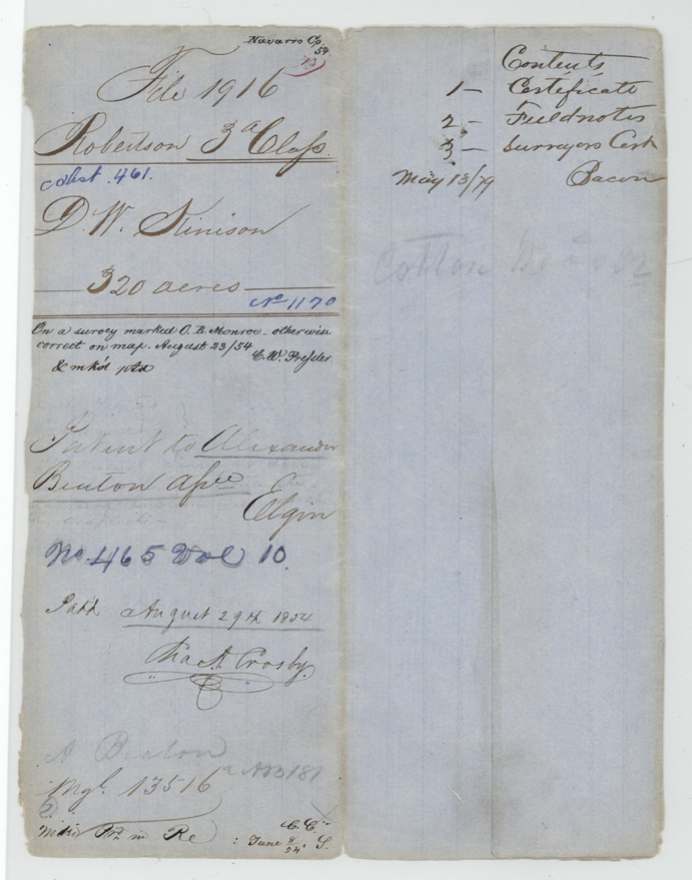
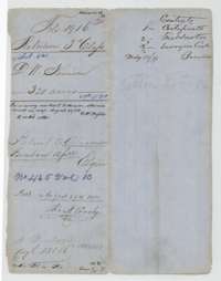 File jacketFile jacket for Daniel W. Kinison's Mercer's Colony certificate for 320 acres, patented 29 August 1854 to his assignee Alexander Beaton.General Land Office, file 1916, page 1 · in the scan
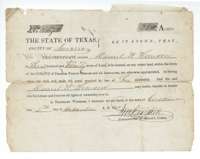 CertificateMercer's Colony certificate No. 1170, issued at Corsicana on 5 December 1850, entitling Daniel W. Kinison to 320 acres of vacant land.General Land Office, file 1916, page 2 · in the scan
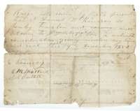 TransferBack of the certificate, where Daniel W. Kinison transferred it to George W. Cooper on 9 December 1850.General Land Office, file 1916, page 3 · in the scan
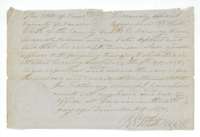 TransferClerk's certificate that Kinison's transfer to George W. Cooper was proved before R. W. White at Corsicana on 23 December 1850.General Land Office, file 1916, page 4 · in the scan
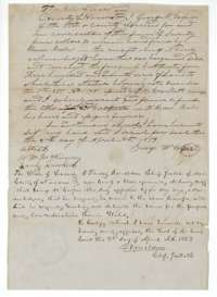 TransferTransfer of 2 April 1853 in which George W. Cooper sells certificate No. 1170 to Alexander Beaton for $75, acknowledged before the Chief Justice of Navarro County.General Land Office, file 1916, page 5 · in the scan
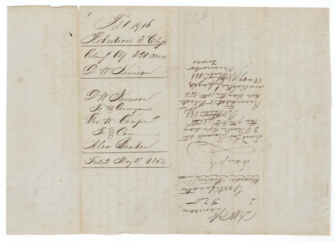
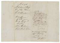 WrapperWrapper for the colony certificate of Daniel W. Kinison, 320 acres, filed 15 May 1854, with the county's recording note for the transfer.General Land Office, file 1916, page 6 · in the scan
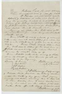 Field notesField notes for 320 acres on a branch of Cottonwood Creek, about 11 miles west of Corsicana, surveyed for Daniel W. Kinison by deputy surveyor Wm. L. Browning.General Land Office, file 1916, page 7 · in the scan
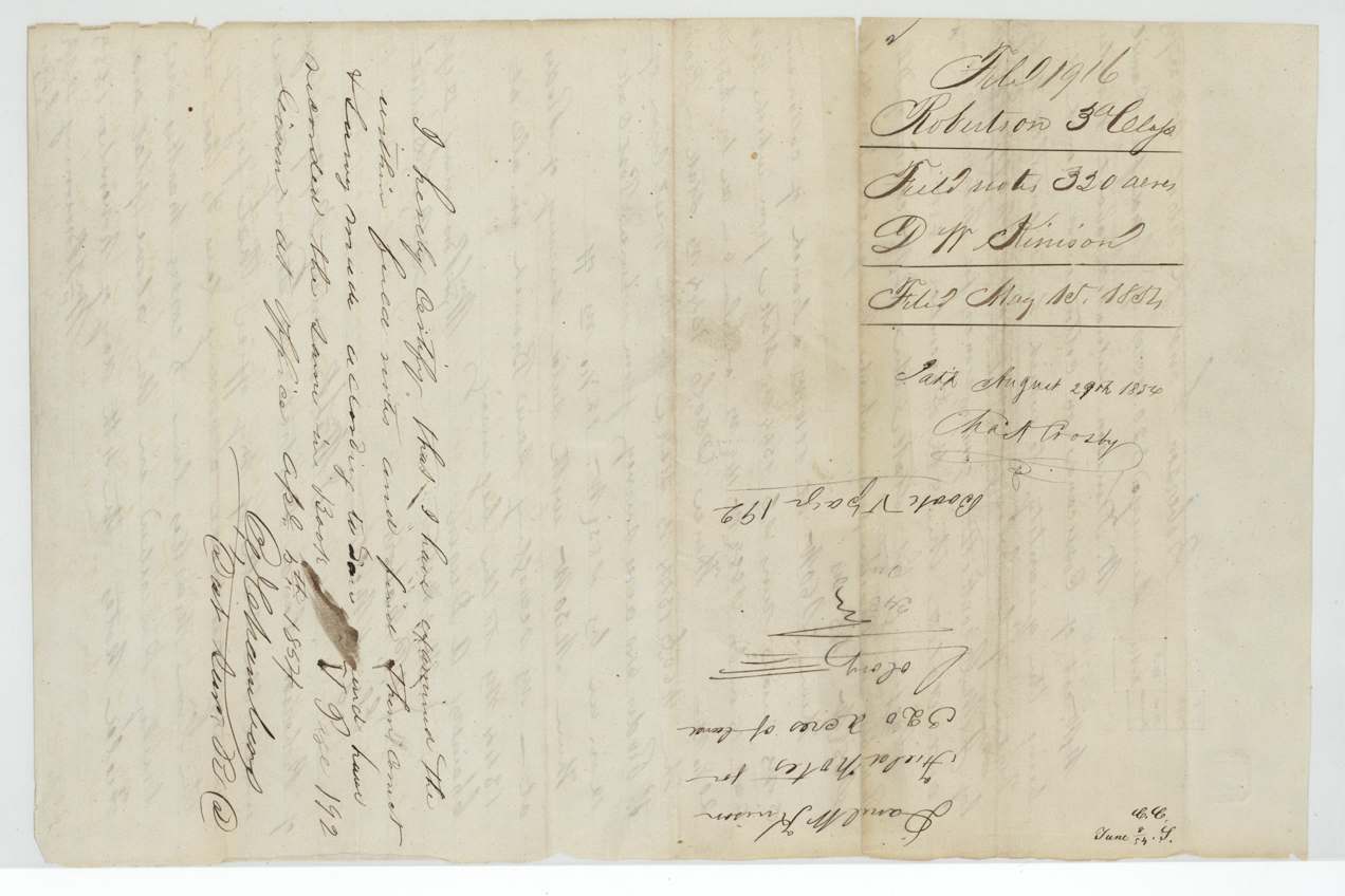
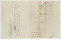 WrapperWrapper for the Kinison field notes, filed 15 May 1854, with the district surveyor's certificate and the patent note of 29 August 1854.General Land Office, file 1916, page 8 · in the scan
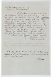 Surveyor's certificateDistrict Surveyor's certificate of 3 April 1854 that the Kinison survey conflicts with a survey made under bounty warrant No. 1432, with the Land Office answer.General Land Office, file 1916, page 9 · in the scan
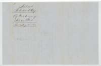 WrapperWrapper for the district surveyor's certificate on the Kinison survey, filed 15 May 1854.General Land Office, file 1916, page 10 · in the scan
Scans courtesy of the Texas General Land Office, Austin, from its Land Grant Database.
Neighbouring surveys
Sources
- Texas General Land Office, Land Grant Database: Navarro County, Abstract 461
- The Land Office file, scanned (PDF, at the General Land Office)
- 1924 map: courtesy of the Texas General Land Office, Austin, Map 73249, used under licence. Topo: U.S. Geological Survey, The National Map. Aerial photographs: U.S. Department of Agriculture, National Agriculture Imagery Program, 2012, 2018 and 2022. Survey outlines: Railroad Commission of Texas, Original Texas Land Survey. Grant records and files: Texas General Land Office.