Blackland TX · ← All the original surveys
W. S. Shepard Survey, Abstract 766
- Granted to
- W. S. Shepard
- Kind of grant
- Headright, third classLand for later settlers, including the colonists of Mercer’s Colony.
- Land Office file
- Robertson 3rd class, file 5216
- Acres
- 160
- Patented to
- W. S. Shepard
- Patent
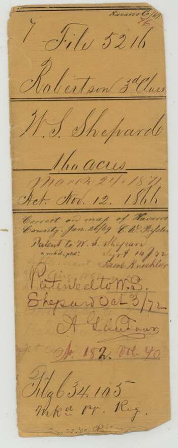
- 03 Oct 1872 · No. 182, Vol. 40
Tap a survey to open its page.
What the file shows
Walter S. Shepard settled on 160 acres of vacant land on Rush Creek, about 13 miles west of Corsicana, in August 1868, and County Surveyor J. M. Eliot surveyed it for him on 31 August 1868 under the 1866 act donating land to actual settlers. That first claim was filed in December 1868 but went no further. After three years' occupancy he swore, with neighbours John Woodall and S. T. Stanaland, that he had lived on and farmed the land as head of a family, qualifying under the 1871 public-lands act. With help from Corsicana land agents Upshaw & Frost, the papers were re-filed in July 1872, and the land was patented to him on 3 October 1872.
The certificate
preemption (160-acre homestead donation to actual settler; filed as Robertson 3rd class), No. none, 160 acres, No certificate; title rests on settler's affidavits — first before J. M. Eliot, County Surveyor of Navarro County (1868), then before H. V. Hurlock(?), District Clerk of Navarro County (1871, 1872), Navarro County, First affidavit 1868-08-31; certificate of occupancy 1871-09-02; supplementary affidavit 1872-07-02.
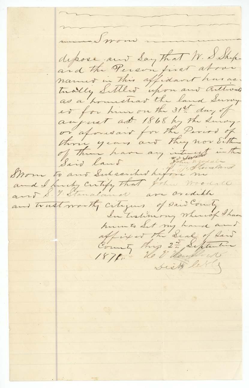
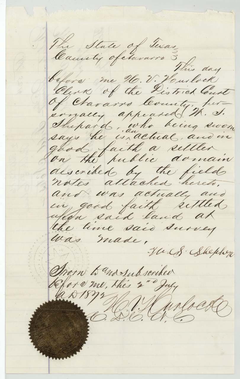
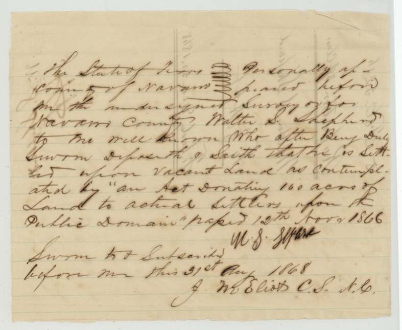
1868: Walter S. Shepherd swore he was settled on vacant land as contemplated by 'an Act donating 160 acres of land to actual settlers upon the public domain' passed 12 Nov 1866. 1871: he swore he was a bona fide settler on 160 acres surveyed for him 31 Aug 1868 by J. M. Eliot, had occupied and improved it as a homestead for three consecutive years from that date, was head of a family, had no other homestead, and sought title under 'an act to regulate the disposal of the public lands of the State of Texas' approved March 24th 1871 ('August' struck out); witnesses John Woodall and S. T. Stanaland swore he had settled and cultivated it for three years and that neither of them had any interest in it. 1872: he swore he was an actual, good-faith settler on the land when the survey was made.
The survey
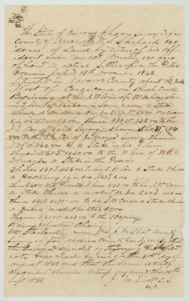
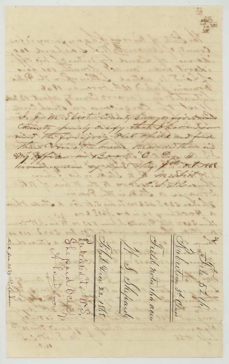
1868-08-31 (certified 1868-09-15; recorded 1868-10-07), J. M. Eliot, County Surveyor, Navarro County.
Navarro County, about 12 (altered from 13?) miles west, red 'S 81 W'(?), of Corsicana on Rush Creek
Chain carriers: Rainey(?) Johnson, Wm. Stanland(?).
Book C, page 4, Navarro County
The survey
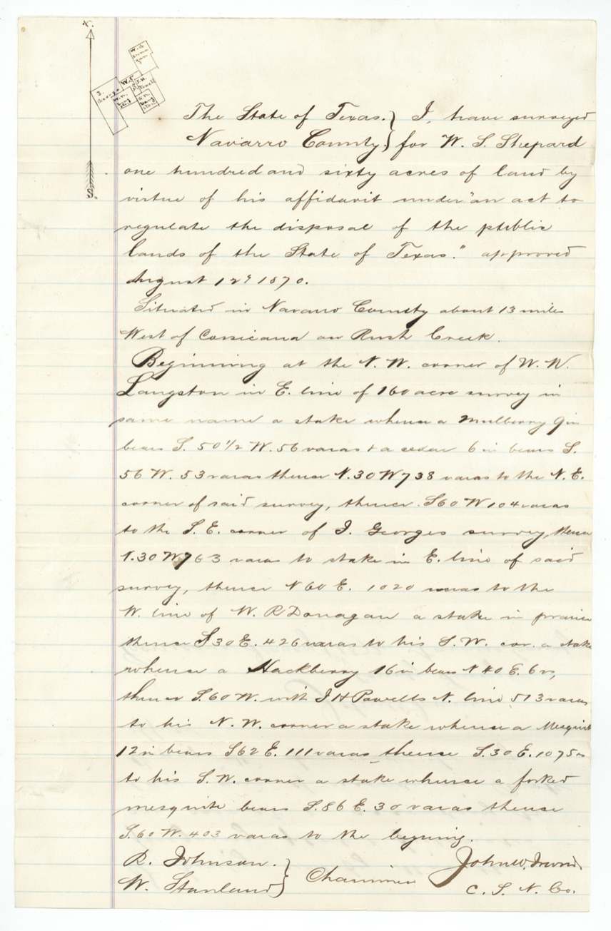
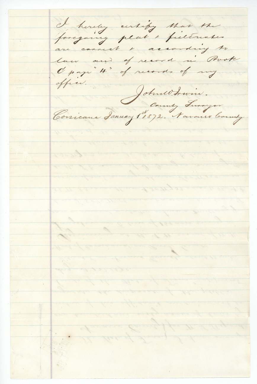
certified at Corsicana 1872-01-01 (same survey; no new field date), John W. Irwin(?), County Surveyor, Navarro County.
Navarro County, about 13 miles west of Corsicana on Rush Creek
Chain carriers: R. Johnson, W. Stanland(?).
Book C, page 4
The patent
3 Oct 1872, No. 182, Vol. 40, to W. S. Shepard, delivered to not stated ('Mgl. 34105', 'mailed ... Reg.').
Also in the file
- Shepard first applied under the 1866 settlers' act in 1868, but the claim stalled; in 1871-72 he re-qualified under the new 1871 public-lands act by proving three years' occupancy, and was patented only in October 1872.
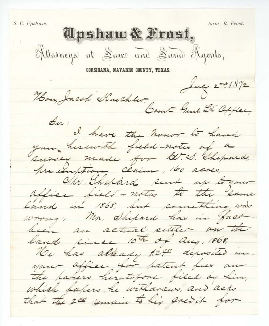
- The dates of settlement differ: the affidavits say he settled on 31 August 1868 (the survey date), while his attorney's letter says 10 August 1868.
- The re-filed field notes cite a public-lands act 'approved August 12th 1870', while the affidavit cites the act of March 24, 1871 (with 'August' struck out) — the clerks were unsure which law applied.
- Distance from Corsicana is given as 12 miles in one set of notes (13 altered) and 13 in the other.
- His name is written Shepard, Shepherd and (in his own signature, p.5) Shepher(?) across the file; the full first name, Walter, appears only in the 1868 affidavit and its docket.
Timeline
- 10 Aug 1868Settles on the land, per attorney's letter
- 31 Aug 1868Affidavit under 1866 settlers' act; J. M. Eliot surveys 160 acres on Rush Creek
- 7 Oct 1868Survey recorded, Navarro Book C p. 4
- 22 Dec 1868Affidavit and field notes filed in GLO
- 26 Jan 1869Map check: correct on Navarro map (C. W. Pressler)
- 2 Sep 1871Three-years'-occupancy affidavit with witnesses John Woodall and S. T. Stanaland
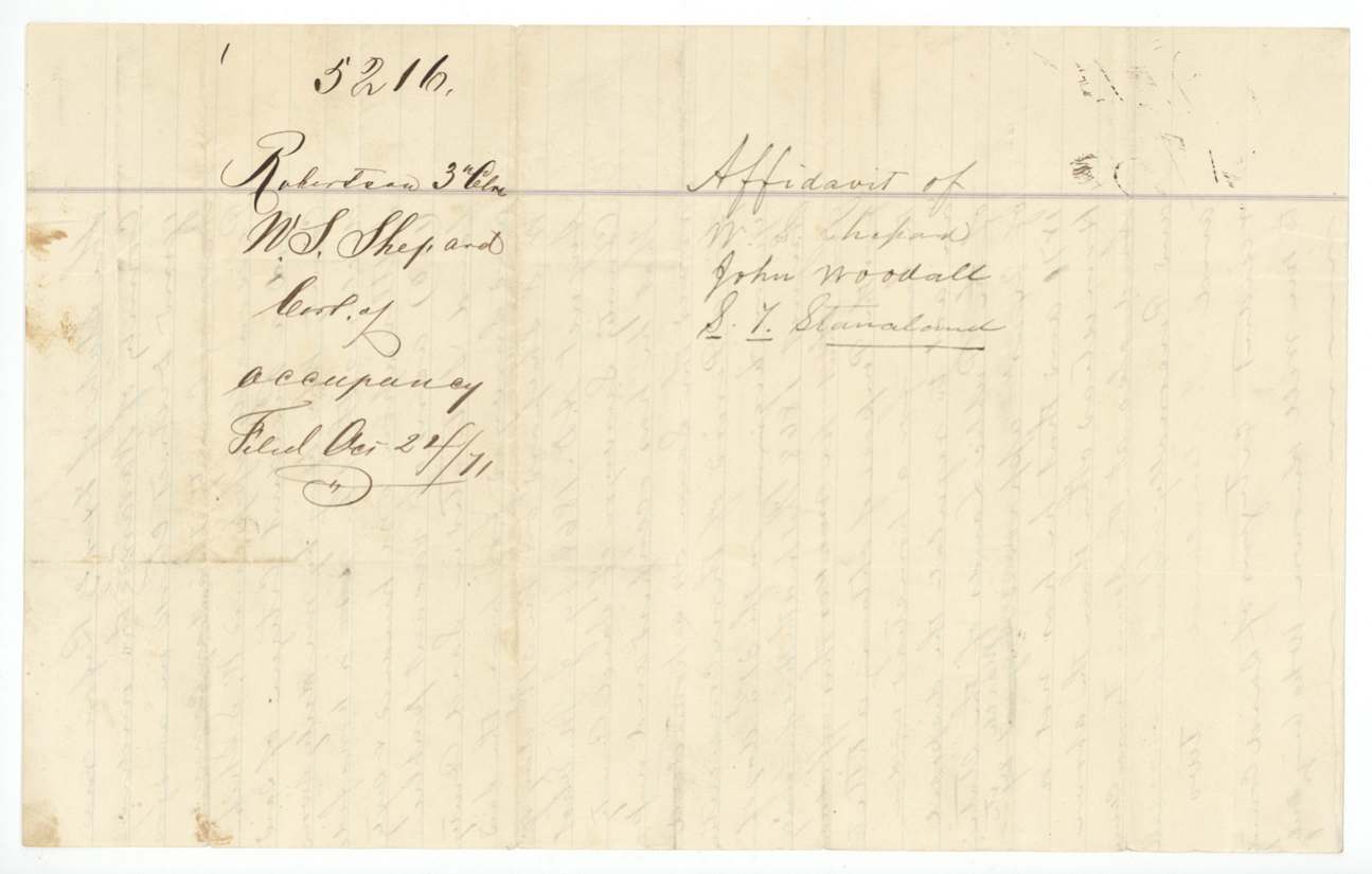
- 24 Oct 1871Occupancy affidavit filed
- 20 Nov 1871Notification furnished applicant (Russell)
- 1 Jan 1872County Surveyor John W. Irwin re-certifies the field notes
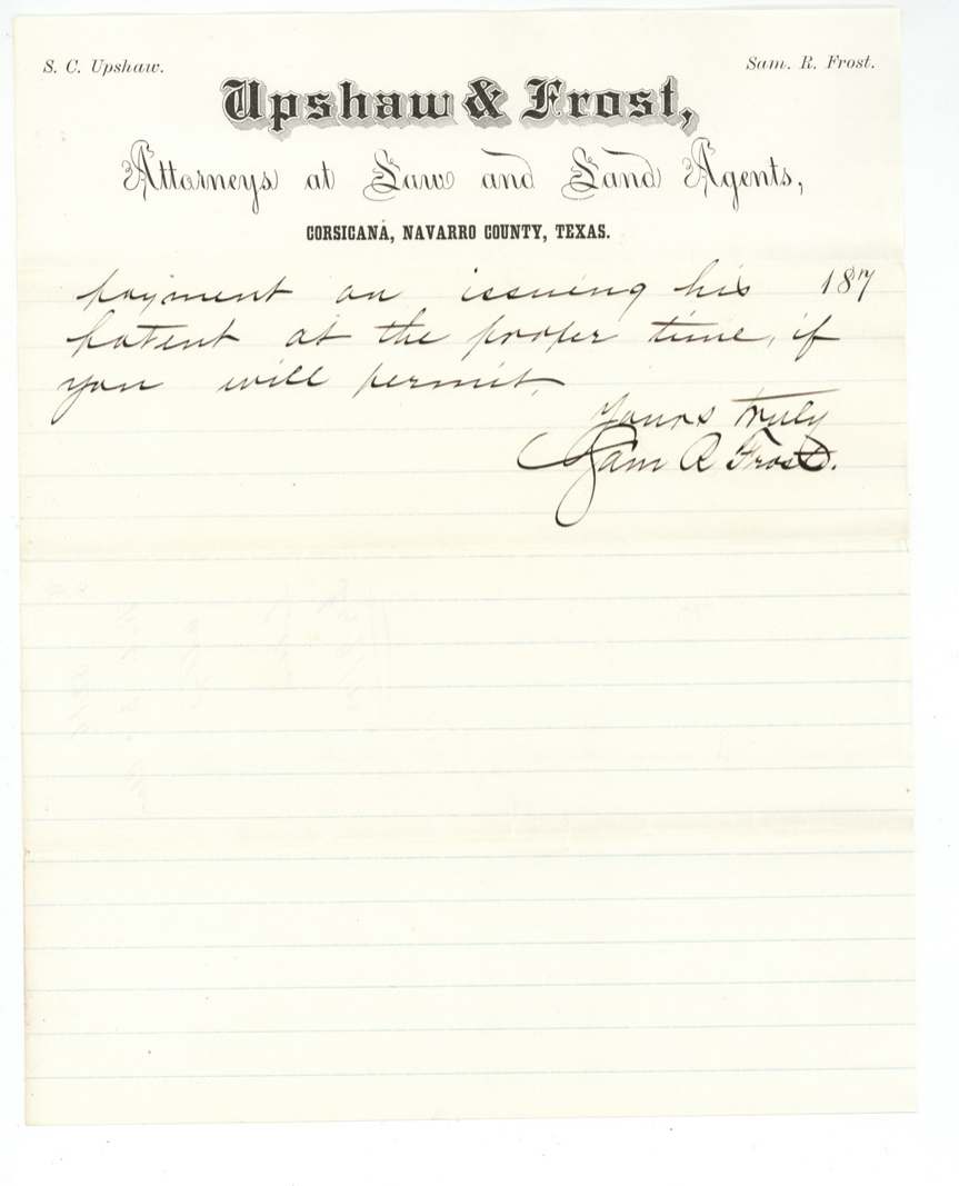
- 2 Jul 1872New affidavit; Sam R. Frost of Upshaw & Frost writes the GLO Commissioner
- 9 Jul 1872Papers filed
- 14 Sep 1872Commissioner Kuechler orders patent
- 3 Oct 1872Patent No. 182, Vol. 40 to W. S. Shepard
The papers in the file
Every page of the Land Office file, in the order the Land Office keeps them (18 pages). Tap a page to see it larger.
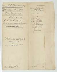 File jacketFile jacket for the Robertson Third Class file of W. S. Shepard, 160 acres, listing the certificate of occupancy, field notes, affidavit, letter and old wrapper.General Land Office, file 5216, page 1 · in the scan
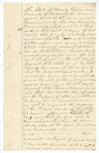 AffidavitOccupancy affidavit sworn 2 September 1871 before the Navarro County district clerk: W. S. Shepard states he has lived on and improved his 160-acre homestead three years.General Land Office, file 5216, page 2 · in the scan
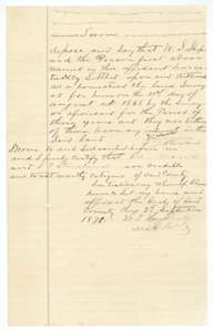 AffidavitClose of the 1871 affidavit, with the statement of witnesses John Woodall and S. T. Stanaland that Shepard settled and farmed the land, and the clerk's seal.General Land Office, file 5216, page 3 · in the scan
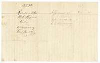 WrapperDocket wrapper for the occupancy affidavit of W. S. Shepard, with the names of witnesses John Woodall and S. T. Stanaland, filed 24 October 1871.General Land Office, file 5216, page 4 · in the scan
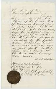 AffidavitAffidavit of W. S. Shepard before the Navarro County district clerk, 2 July 1872, swearing he was an actual settler in good faith on the land when it was surveyed.General Land Office, file 5216, page 5 · in the scan
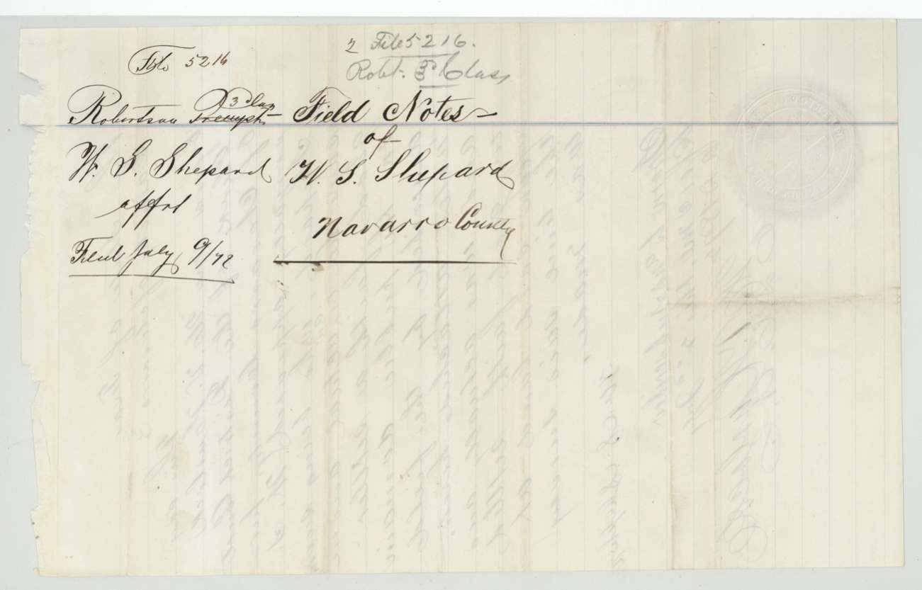
 WrapperWrapper for the field notes of W. S. Shepard, Navarro County, filed 9 July 1872.General Land Office, file 5216, page 6 · in the scan
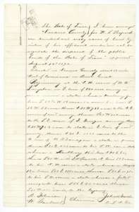 Field notesField notes for 160 acres on Rush Creek west of Corsicana, surveyed for W. S. Shepard and certified by County Surveyor John W. Irwin, with a small plat.General Land Office, file 5216, page 7 · in the scan
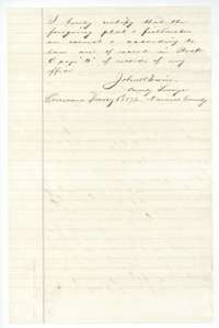 Surveyor's certificateClosing certificate of County Surveyor John W. Irwin, Corsicana, 1 January 1872, that the plat and field notes are correct and recorded in Book C, page 4.General Land Office, file 5216, page 8 · in the scan
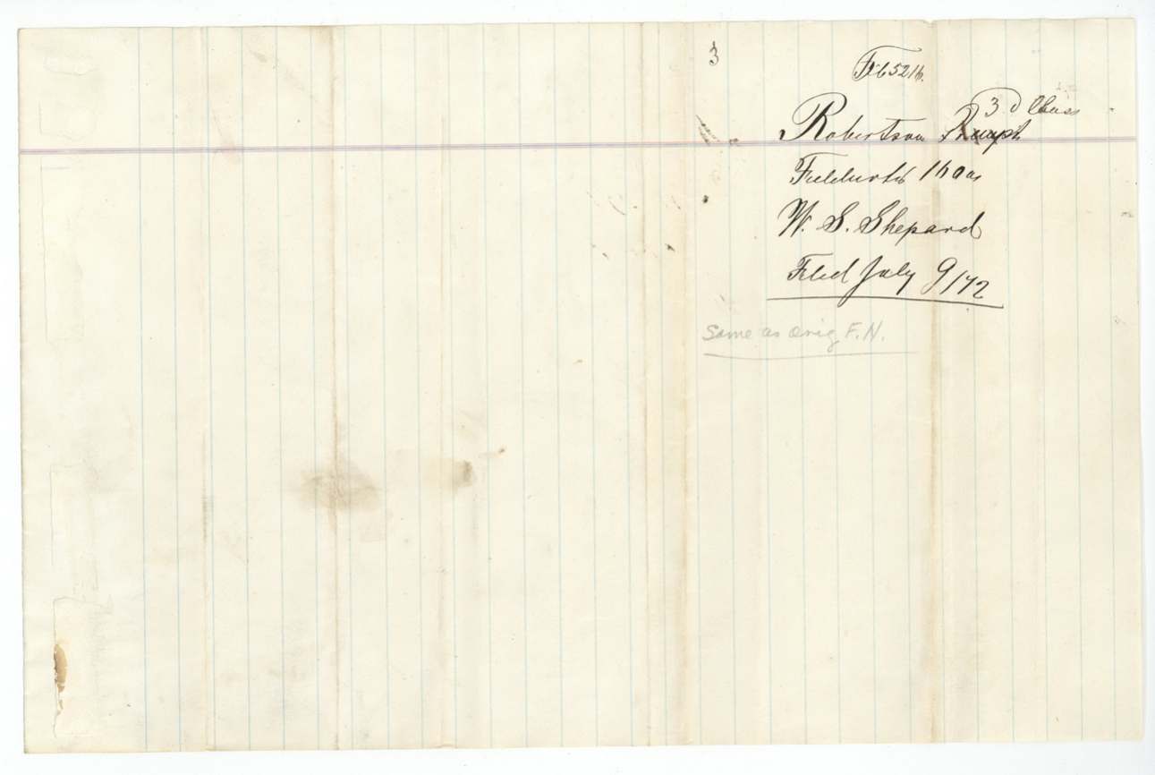
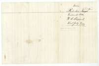 WrapperWrapper marked Robertson Third Class, field notes of W. S. Shepard, 160 acres, filed 9 July 1872.General Land Office, file 5216, page 9 · in the scan
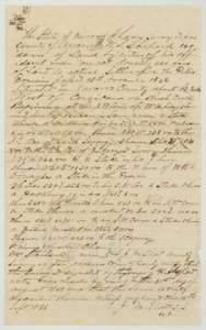 Field notesOriginal field notes for 160 acres on Rush Creek, surveyed for W. S. Shepard by Navarro County Surveyor J. M. Eliot on 31 August 1868 and certified 15 September 1868.General Land Office, file 5216, page 10 · in the scan
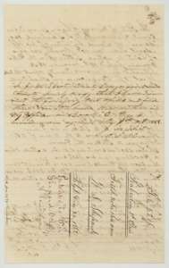 WrapperReverse of the 1868 field notes, with the wrapper marked field notes of W. S. Shepard, Navarro County, filed 22 December 1868.General Land Office, file 5216, page 11 · in the scan
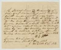 AffidavitAffidavit of Walter S. Shepard, 31 August 1868, before County Surveyor J. M. Eliot, that he is a settler on vacant land under the 1866 settlers' act.General Land Office, file 5216, page 12 · in the scan
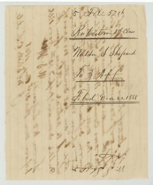
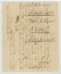 WrapperWrapper for the transcript and affidavit of Walter S. Shepard, Robertson Third Class, filed 22 December 1868.General Land Office, file 5216, page 13 · in the scan
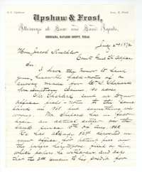 LetterLetter of 2 July 1872 from Upshaw & Frost, Corsicana attorneys, to the Land Commissioner, sending field notes for Shepard's 160-acre claim and asking that his fee deposit stand.General Land Office, file 5216, page 14 · in the scan
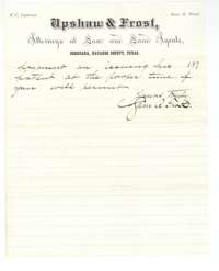 LetterClosing lines of the Upshaw & Frost letter, signed by Sam R. Frost, asking for the patent to be issued at the earliest convenience.General Land Office, file 5216, page 15 · in the scan
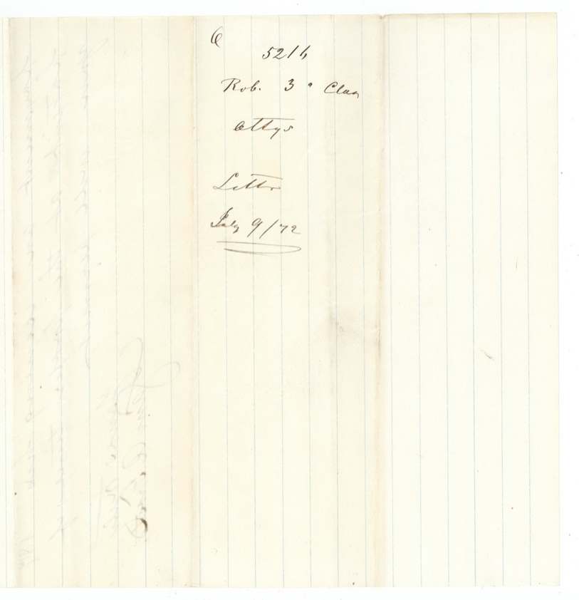
 WrapperSmall wrapper for the letter in the Shepard file, filed 9 July 1872.General Land Office, file 5216, page 16 · in the scan
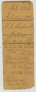 File jacketJacket for the Shepard file, Robertson Third Class, 160 acres, with notes that the patent, No. 182, Volume 40, issued 3 October 1872.General Land Office, file 5216, page 17 · in the scan
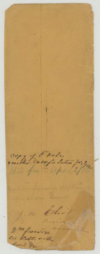
 WrapperBack of an old wrapper, noting a copy of the field notes and a second call for the patent received on 9 July 1872.General Land Office, file 5216, page 18 · in the scan
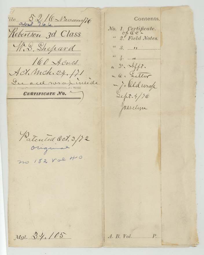
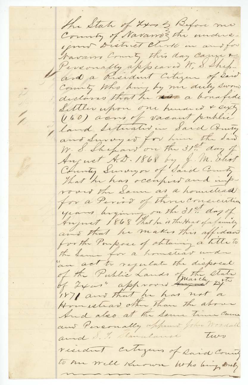
Scans courtesy of the Texas General Land Office, Austin, from its Land Grant Database.
Neighbouring surveys
Sources
- Texas General Land Office, Land Grant Database: Navarro County, Abstract 766
- The Land Office file, scanned (PDF, at the General Land Office)
- 1924 map: courtesy of the Texas General Land Office, Austin, Map 73249, used under licence. Topo: U.S. Geological Survey, The National Map. Aerial photographs: U.S. Department of Agriculture, National Agriculture Imagery Program, 2012, 2018 and 2022. Survey outlines: Railroad Commission of Texas, Original Texas Land Survey. Grant records and files: Texas General Land Office.