Blackland TX · ← All the original surveys
William G. Donaghe Survey, Abstract 229
- Granted to
- William G. Donaghe
- Kind of grant
- Headright, third classLand for later settlers, including the colonists of Mercer’s Colony.
- Land Office file
- Robertson 3rd class, file 4274
- Certificate
- No. 204
- Acres
- 320
- Patented to
- Heirs of David M. Miller
- Patent
- 10 Dec 1861 · No. 602, Vol. 34
Tap a survey to open its page.
What the file shows
William G. Donaghe received Mercer's Colony certificate No. 204 for 640 acres at Corsicana on 18 April 1850 and sold it to David M. Miller for $120 on 12 July 1853. Deputy surveyor Milton Wright surveyed 320 acres on the head of Cottonwood Creek, about 11 1/2 miles from Corsicana, on 28 July 1857, recorded in the Robertson District at Springfield. The field notes had first named a different (Kaufman County) certificate, and county surveyor J. M. Elliot corrected them in 1861. The land was patented to the heirs of David M. Miller as patent No. 602, Vol. 34, in December 1861, and the patent was sent to A. Wright in April 1862.
The certificate
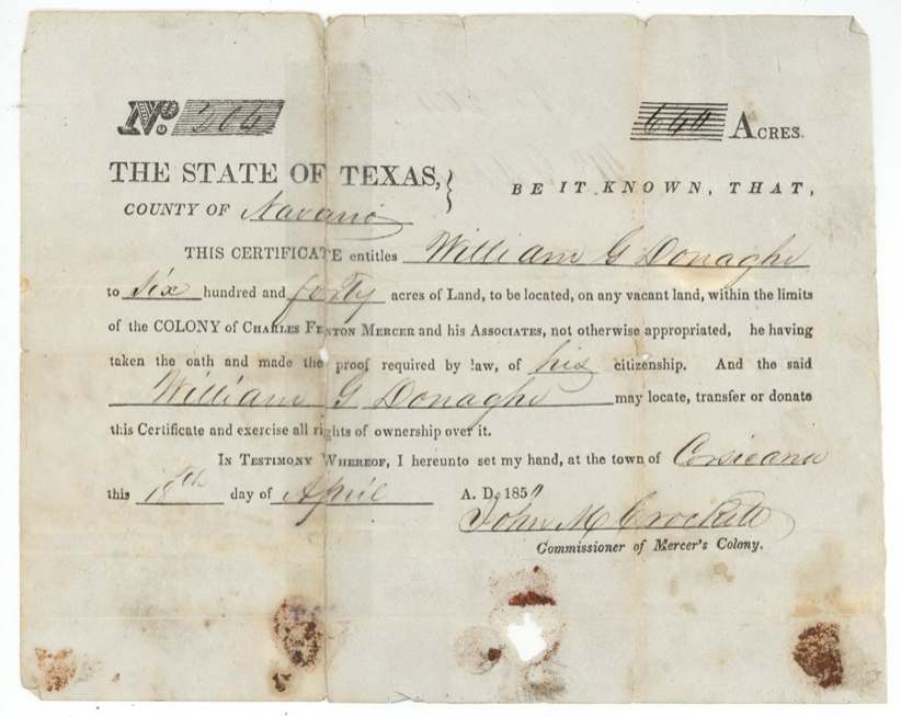
No. 204, 640 (certificate); 320 located in this survey, John M. Crockett, Commissioner of Mercer's Colony, Town of Corsicana, Navarro County, 18 Apr 1850.
Mercer's Colony (Charles Fenton Mercer and Associates) colonist certificate entitling William G. Donaghe to 640 acres on vacant land within the colony, 'he having taken the oath and made the proof required by law of his citizenship'. 640 acres implies a family head under the colony contract, but the certificate itself does not state family status.
Changes of hand
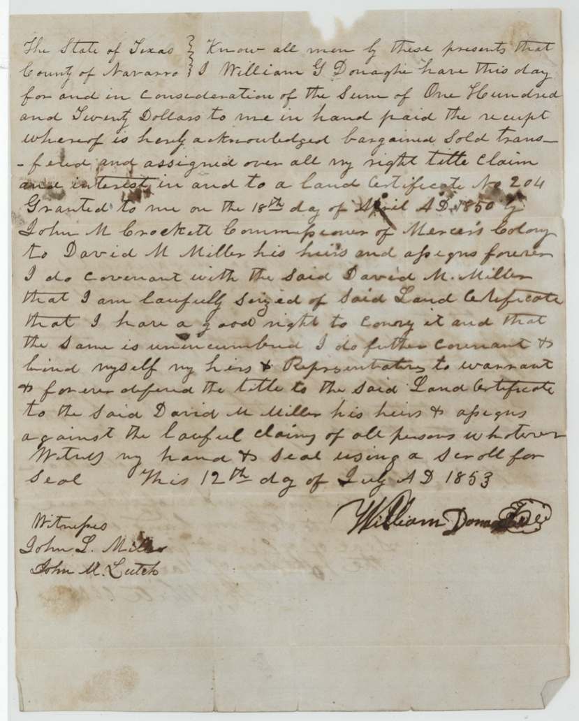
- 12 Jul 1853William G. Donaghe → David M. Miller, his heirs and assigns, $120, Navarro County. Sells all right, title and interest in certificate No. 204 with general warranty; seal by scroll. Filed GLO 27 May 1858.
The survey
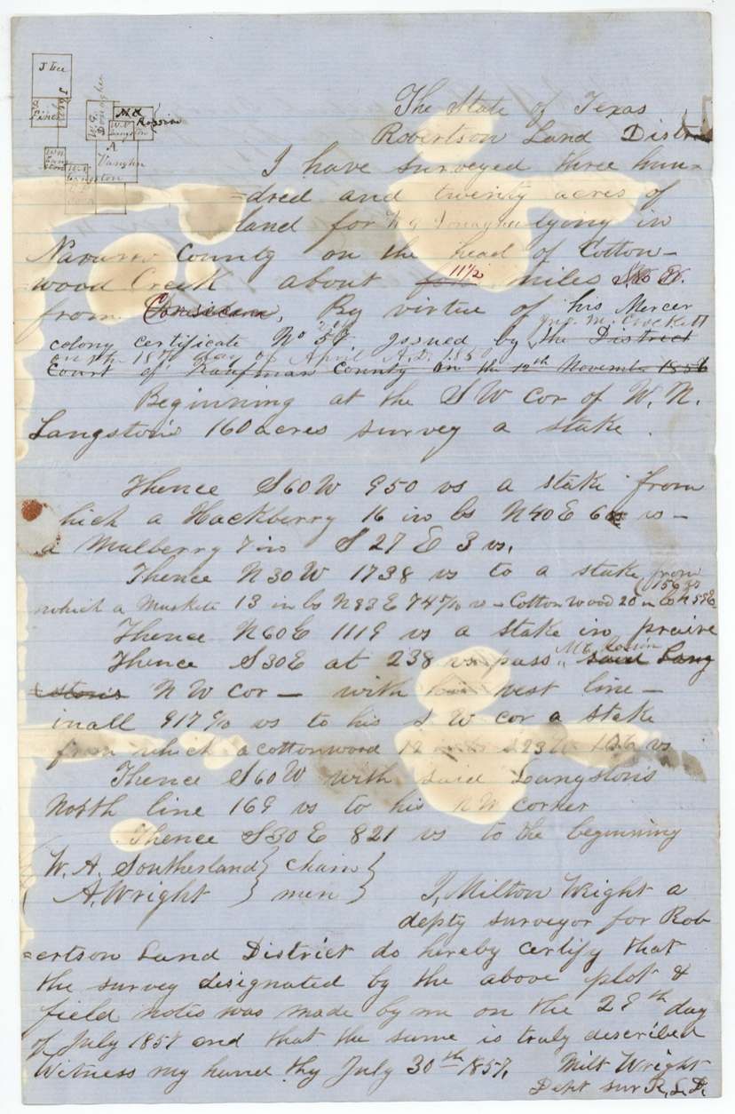
28 Jul 1857, Milton (Milt) Wright.
320 acres for W. G. Donaghe in Navarro County 'on the head of Cottonwood Creek about [four, struck] 11 1/2 miles S 60(?) W from Corsicana' (distance and bearing corrected in red). Beginning at SW corner of W. N. Langston's 160-acre survey; S 60 W 950 vrs (hackberry, mulberry); N 30 W 1738 vrs (mesquite, cottonwood); N 60 E 1119 vrs to stake in prairie; S 30 E at 238 vrs pass M. E. Rossin's(?) NW corner, with his W line in all 917 6/10 vrs to his SW corner (cottonwood); S 60 W with Langston's N line 169 vrs to his NW corner; S 30 E 821 vrs to beginning.
Chain carriers: W. A. Southerland, A. Wright.
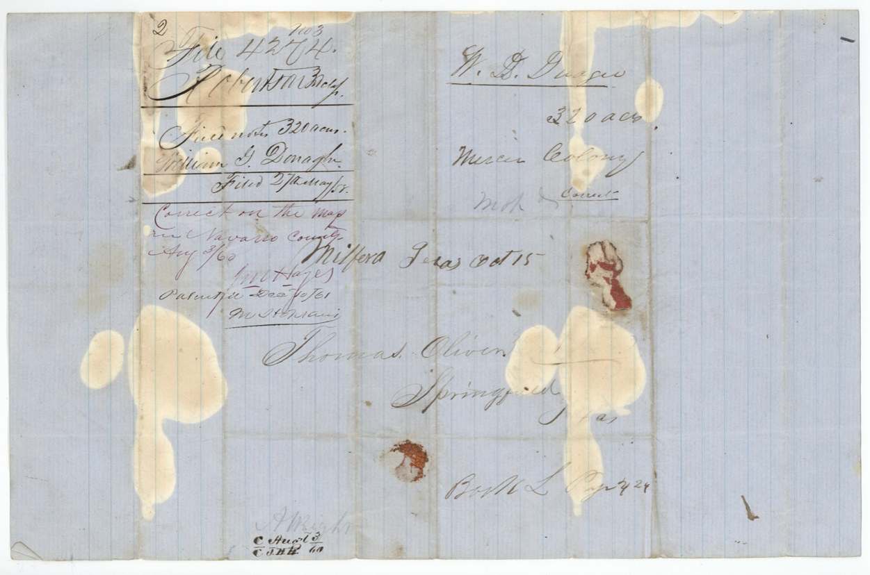
Book L p. 424 (Robertson District)
The patent
1861-12-19(?), Patent No. 602, Vol. 34, to Heirs of David M. Miller, deceased, assignee, delivered to A. Wright (patent forwarded to 'Arvin(?)/A. Wright' 8 April 1862).
Also in the file
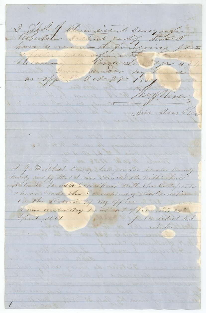
- Field notes were first written on a different certificate - 'No. 57 issued by the District Court of Kaufman County 12 Nov 1856' - then reassigned to Donaghe's Mercer certificate No. 204; Elliot certified the correction in 1861.
- Distance from Corsicana originally 'four' miles, corrected to 11 1/2.
- 640-acre certificate, only 320 acres located in this file.
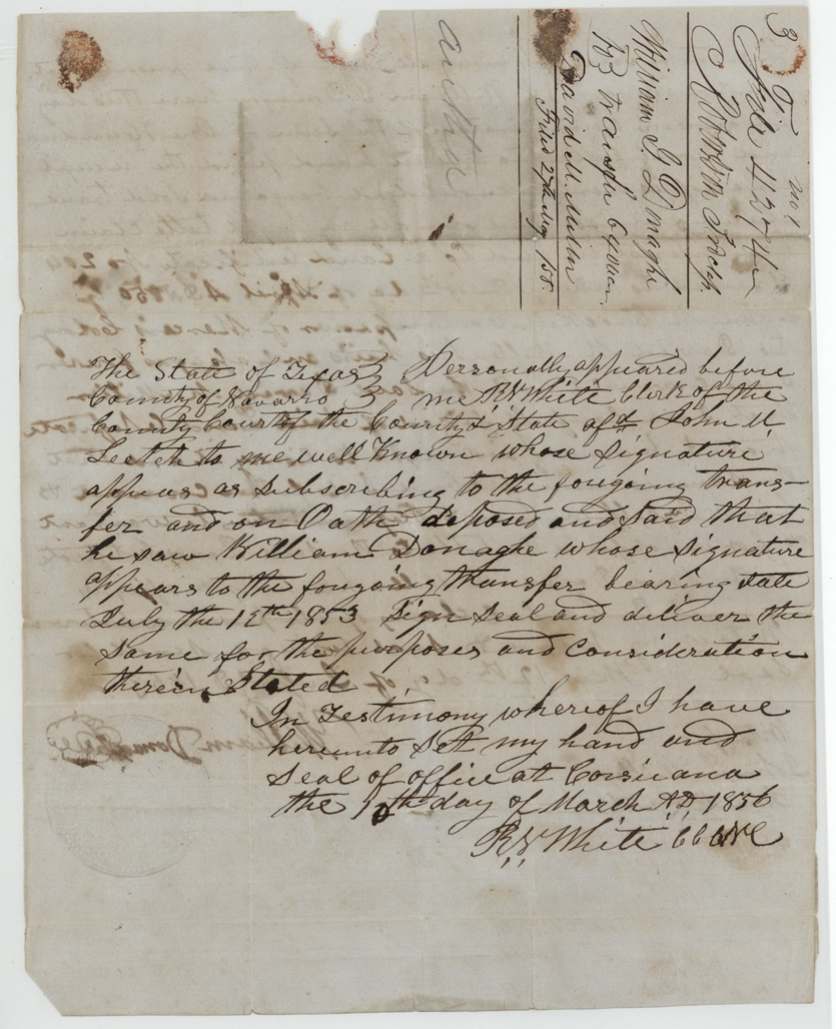
- Donaghe sold in 1853 but the deed was not proved until March 1856, and David M. Miller had died before patent.
Timeline
- 18 Apr 1850Mercer Colony certificate No. 204 (640 ac) issued to William G. Donaghe at Corsicana by John M. Crockett
- 12 Jul 1853Donaghe sells certificate to David M. Miller for $120
- 1856-03-07(?)Deed proved by John M. Leetch before R. W. White, county clerk, Corsicana
- 28 Jul 1857Milton Wright surveys 320 ac on head of Cottonwood Creek
- 29 Oct 1857Examined and recorded Robertson District Book L p. 424 by Thos. J. Oliver
- 27 May 1858Certificate, transfer and field notes filed in GLO
- 3 Aug 1860Map check: correct
- 24 Apr 1861J. M. Elliot corrects field notes to match certificate
- 1861-12-19(?)Patent No. 602 Vol. 34 to heirs of David M. Miller
- 8 Apr 1862Patent forwarded to A. Wright
The papers in the file
Every page of the Land Office file, in the order the Land Office keeps them (9 pages). Tap a page to see it larger.
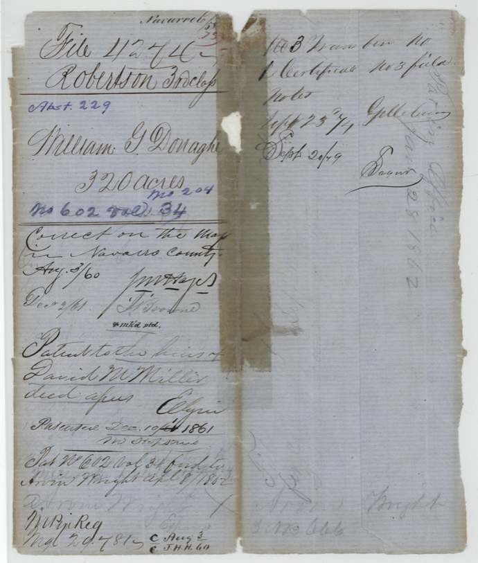
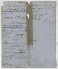 File jacketFile jacket for William G. Donaghe's 320 acres, patented to the heirs of David M. Miller, assignee, in 1861.General Land Office, file 4274, page 1 · in the scan
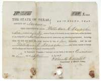 CertificateMercer Colony certificate No. 204 issued at Corsicana on 18 April 1850 by Commissioner John M. Crockett to William G. Donaghe for 640 acres.General Land Office, file 4274, page 2 · in the scan
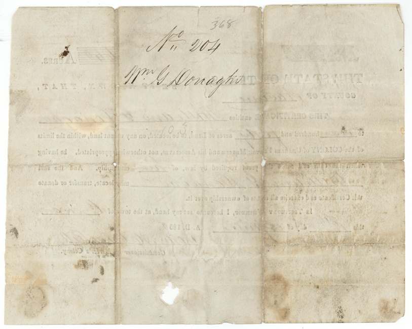
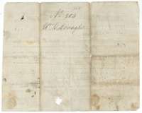 Back of the certificateBack of the Mercer Colony certificate, endorsed with Donaghe's name and certificate number 204.General Land Office, file 4274, page 3 · in the scan
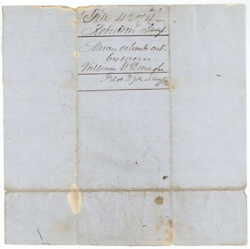
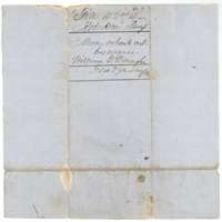 WrapperWrapper for the Mercer colonist's certificate of William G. Donaghe, filed at the Land Office on 27 May 1858.General Land Office, file 4274, page 4 · in the scan
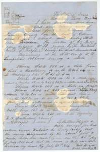 Field notesField notes and plat for 320 acres on the head of Cottonwood Creek, surveyed for William G. Donaghe by deputy surveyor Milton Wright, 28 July 1857.General Land Office, file 4274, page 5 · in the scan
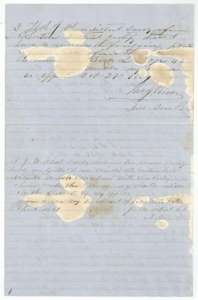 Surveyor's certificateDistrict surveyor Thomas J. Oliver's certificate of 29 October 1857, with Navarro County surveyor J. M. Elliot's correction of 24 April 1861.General Land Office, file 4274, page 6 · in the scan
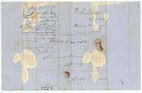 WrapperCover sheet of the field notes, addressed to district surveyor Thomas Oliver and noting Book L, page 424.General Land Office, file 4274, page 7 · in the scan
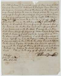 TransferTransfer of 12 July 1853 in which William G. Donaghe sold his Mercer Colony certificate No. 204 to David M. Miller for $120.General Land Office, file 4274, page 8 · in the scan
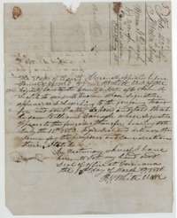 AffidavitProof of the Donaghe transfer by witness John M. Leetch, certified by Navarro County clerk R. W. White at Corsicana in March 1856.General Land Office, file 4274, page 9 · in the scan
Scans courtesy of the Texas General Land Office, Austin, from its Land Grant Database.
Neighbouring surveys
Sources
- Texas General Land Office, Land Grant Database: Navarro County, Abstract 229
- The Land Office file, scanned (PDF, at the General Land Office)
- 1924 map: courtesy of the Texas General Land Office, Austin, Map 73249, used under licence. Topo: U.S. Geological Survey, The National Map. Aerial photographs: U.S. Department of Agriculture, National Agriculture Imagery Program, 2012, 2018 and 2022. Survey outlines: Railroad Commission of Texas, Original Texas Land Survey. Grant records and files: Texas General Land Office.