Blackland TX · ← All the original surveys
Morgan C. Rosson Survey, Abstract 708
- Granted to
- Morgan C. Rosson
- Kind of grant
- Headright, third classLand for later settlers, including the colonists of Mercer’s Colony.
- Land Office file
- Robertson 3rd class, file 4273
- Certificate
- No. 57
- Acres
- 320
- Patented to
- Arvin Wright
- Patent
- 13 Aug 1860 · No. 102, Vol. 31
Tap a survey to open its page.
What the file shows
Morgan C. Rosson proved his emigration to and settlement in Mercer's Colony before the Kaufman County District Court, which issued him certificate No. 57 for 320 acres on 12 Nov 1856, attested by Judge John H. Reagan. Seven weeks later, on 2 Jan 1857, he sold it to Arvin Wright for $85, and Wright entered the land in Navarro County on 27 Feb 1857. Deputy Surveyor Milton Wright surveyed it on 28 Apr 1857 on Cottonwood Creek, first described as 'about four miles North East of Dresden', adjoining W. N. Langston and A. Vaughn. The patent issued to Arvin Wright, assignee, in Aug 1860 (No. 102, Vol. 31) and was forwarded to him on 8 Apr 1862.
The certificate
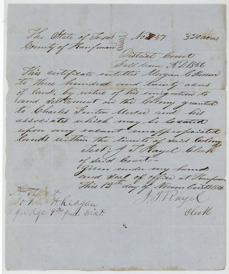
other (Mercer's Colony certificate issued by District Court; filed as Robertson 3rd class), No. 57 (overwritten), 320 acres, District Court of Kaufman County, Fall Term 1856: J. T. Rayel(?), Clerk; attested John H. Reagan, Judge 9th Judicial District, Kaufman, Kaufman County, 12 Nov 1856.
'This certificate entitles Morgan C. Rosson to three hundred and twenty acres of land, by virtue of his emigration to and settlement on the Colony granted to Charles Fenton Mercer and his associates', locatable on vacant unappropriated land within the colony (320 acres = single-man quantity; marital status not stated)
Changes of hand
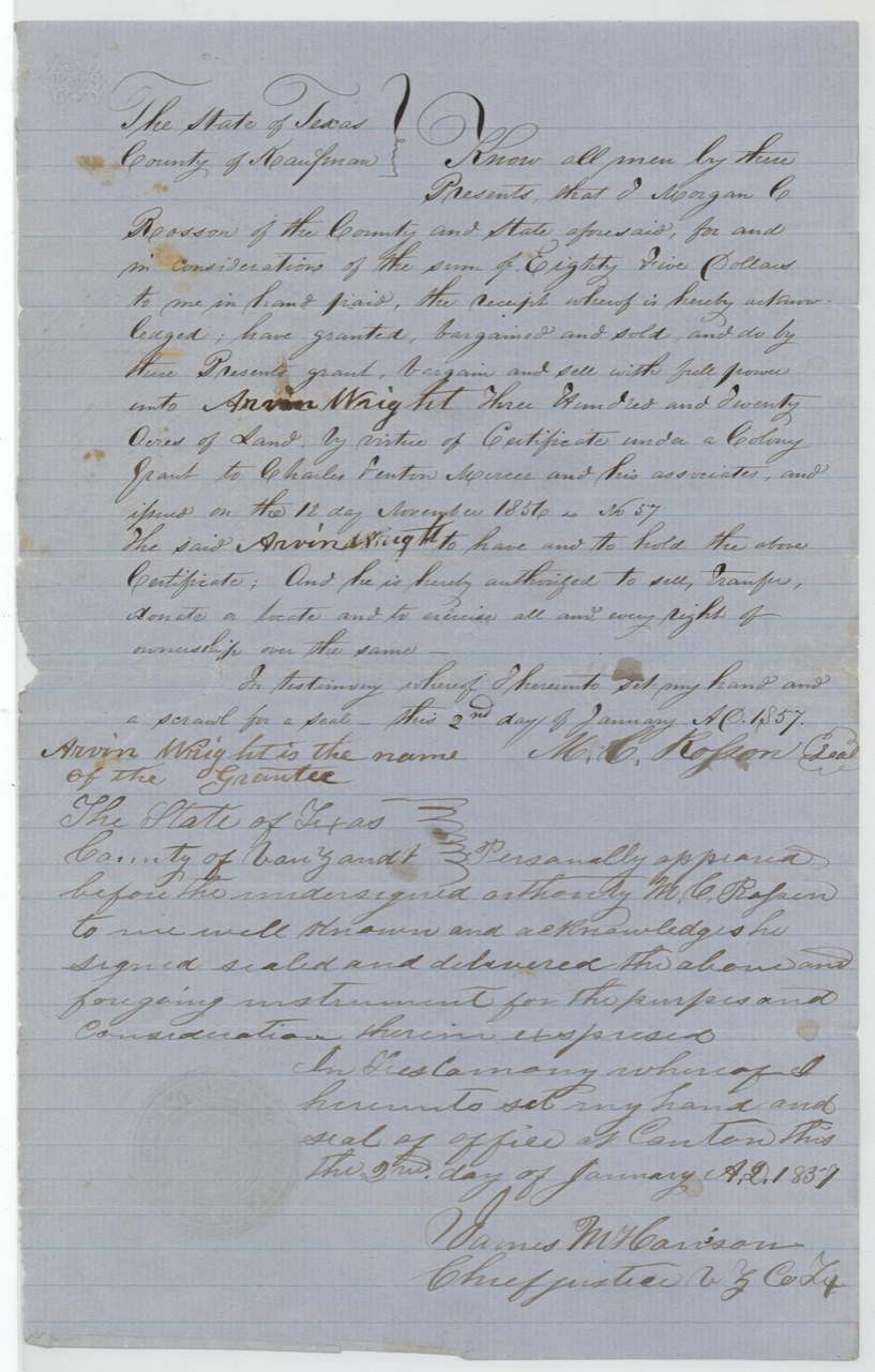
- 2 Jan 1857Morgan C. Rosson, of Kaufman County → Arvin Wright, $85, Kaufman County, Texas. Sells 320 acres by virtue of certificate No. 57 under the Mercer colony grant issued 12 Nov 1856, with full power to sell, transfer, donate or locate; marginal note 'Arvin Wright is the name of the grantee' (grantee name apparently overwritten in body)
The survey
1857-04-28 (certified 30 Jul 1857), Milton (Milt) Wright.
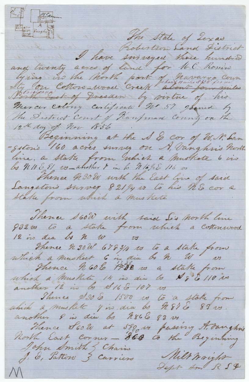
320 acres 'lying in the North part of Navarro County on Cotton-wood Creek' — original text 'about four miles North East of Dresden' struck through and replaced in red with 'about 11 miles S55W(?) from Corsicana'; begins at SE corner of W. N. Langston's 160-acre survey on A. Vaughn's north line; N30W with Langston's east line 821 1/4 vrs; S60W with Langston's north line 932 vrs (cottonwood bearing tree); N30W 678 3/4 vrs; N60E 1720 vrs; S30E 1500 vrs; S60W passing A. Vaughn's NE corner at 580 vrs, 788(?) vrs to beginning; bearing trees mesquite ('muskete') and cottonwood
Chain carriers: John Smith, J. E. Patton.
Book L, page 349(?)
The patent
1860-08-11 (wrapper 'Aug 11 1860'; outer wrapper '13' interlined in blue), No. 102, Vol. 31, to Arvin Wright, assignee, delivered to Arvin Wright — 'Pat. No. 102 Vol. 31 forw'd to Arvin Wright Apl 8 1862'.
Also in the file
- Field notes first located the land 'about four miles North East of Dresden'; that was struck and replaced with a bearing and distance from Corsicana
- Surveyor Milton Wright surveyed land for Arvin Wright (same surname)
- Rosson sold the certificate seven weeks after it was issued, for $85, before any survey
- Grantee's name in the deed body evidently written over; clerk added 'Arvin Wright is the name of the Grantee'
- Patent issued Aug 1860 but not forwarded to Wright until 8 Apr 1862
- Certificate number 57 written over another figure
- Plat shows the tract near Sarah Finch's survey (Abst 279)
Timeline
- 12 Nov 1856Kaufman County District Court issues Mercer colony certificate No. 57 (320 acres) to Morgan C. Rosson
- 2 Jan 1857Rosson sells to Arvin Wright for $85; acknowledged at Canton
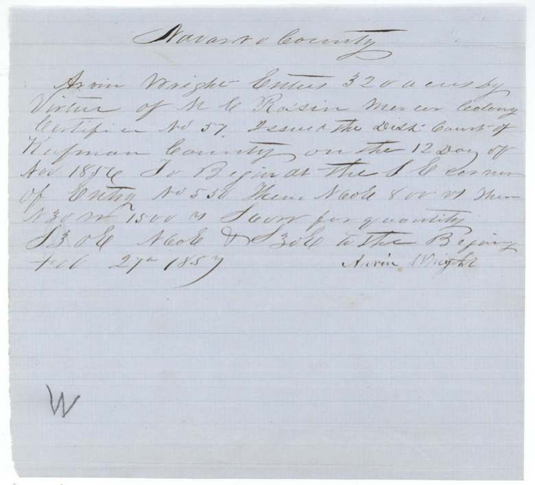
- 27 Feb 1857Arvin Wright files entry in Navarro County
- 28 Apr 1857Milton Wright surveys 320 acres on Cottonwood Creek
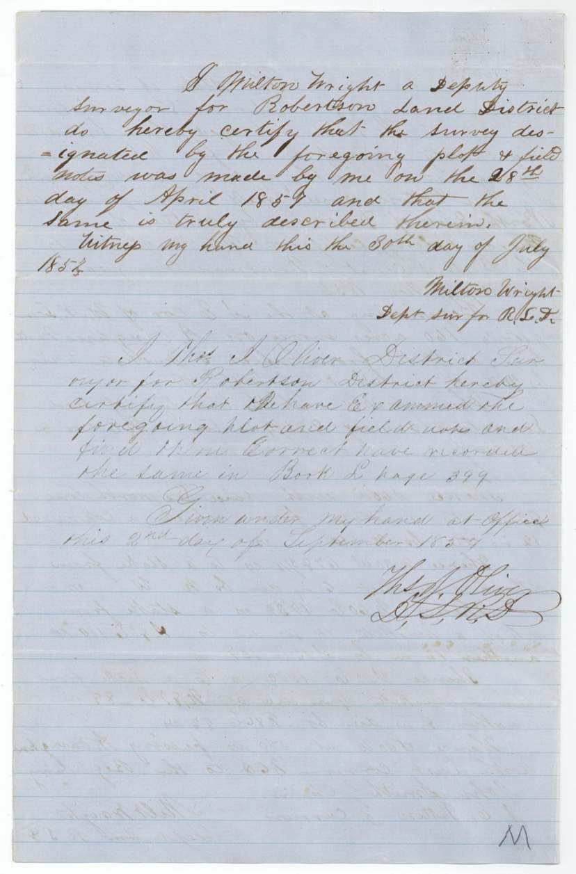
- 30 Jul 1857Surveyor certifies field notes
- 2 Sep 1857Thos. J. Oliver examines and records, Book L
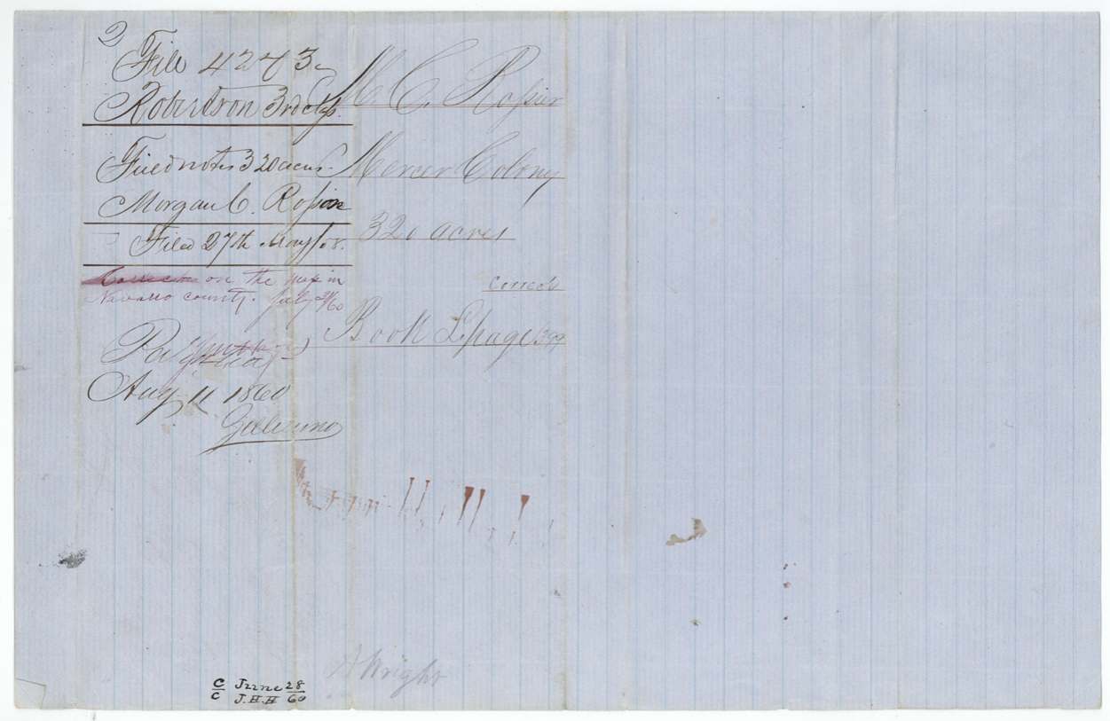
- 27 May 1858Papers filed in GLO
- 28 Jun 1860Computed/checked (J.H.H.)
- 31 Jul 1860Correct on Navarro County map
- 11 Aug 1860Patent No. 102 Vol. 31 to Arvin Wright
- 8 Apr 1862Patent forwarded to Arvin Wright
The papers in the file
Every page of the Land Office file, in the order the Land Office keeps them (9 pages). Tap a page to see it larger.
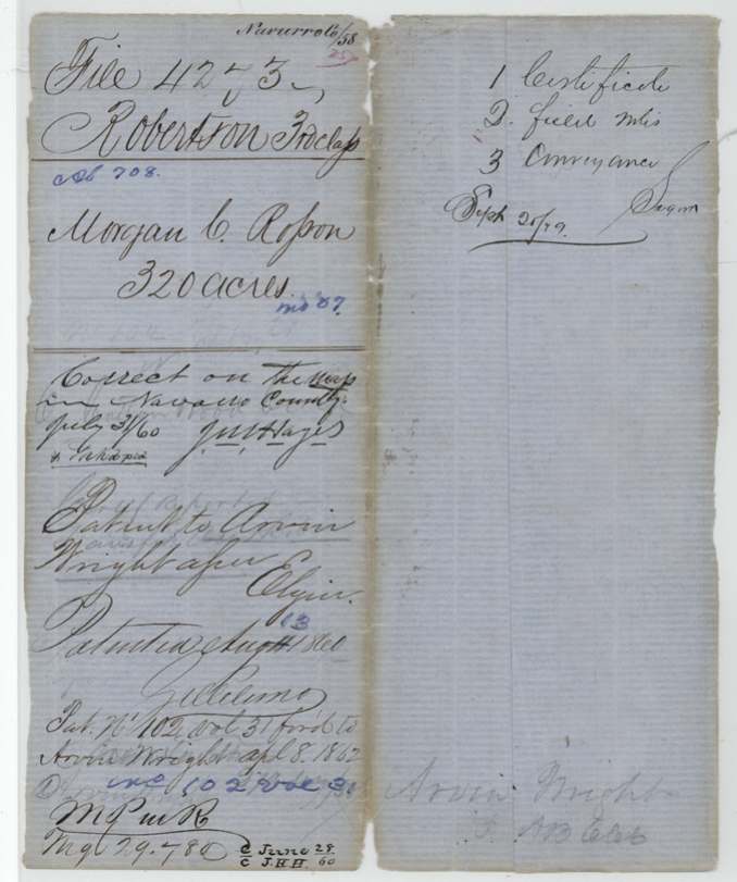
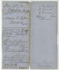 File jacketFile jacket for Morgan C. Rosson's 320-acre Mercer Colony claim, listing the certificate, field notes and conveyance, with the patent entry of 11 August 1860.General Land Office, file 4273, page 1 · in the scan
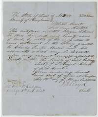 CertificateMercer's Colony certificate No. 57 for 320 acres issued to Morgan C. Rosson by the Kaufman County District Court, 12 November 1856.General Land Office, file 4273, page 2 · in the scan
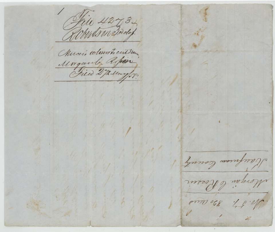
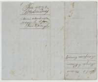 Back of the certificateBack of the certificate, with the Land Office filing note for Morgan C. Rosson's 320 acres.General Land Office, file 4273, page 3 · in the scan
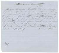 Other papersEntry of 27 February 1857 in which Arvin Wright claims 320 acres in Navarro County under Morgan C. Rosson's Mercer Colony certificate.General Land Office, file 4273, page 4 · in the scan
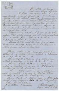 Field notesField notes and plat for 320 acres on Cottonwood Creek, surveyed for Arvin Wright by deputy surveyor Milton Wright, 28 April 1857.General Land Office, file 4273, page 5 · in the scan
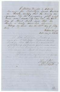 Surveyor's certificateCertificates of deputy surveyor Milton Wright and district surveyor Thomas J. Oliver that the Cottonwood Creek survey is correct, dated 30 July and 2 September 1857.General Land Office, file 4273, page 6 · in the scan
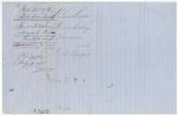 WrapperWrapper for the Rosson survey field notes, with the file number and the names of Morgan C. Rosson and Arvin Wright.General Land Office, file 4273, page 7 · in the scan
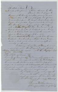 TransferDeed of 2 January 1857 in which Morgan C. Rosson of Kaufman County sells his 320-acre Mercer Colony certificate to Arvin Wright for $85.General Land Office, file 4273, page 8 · in the scan
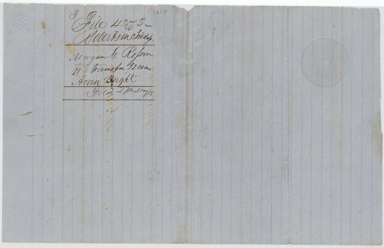
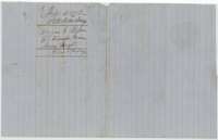 WrapperDocket for the conveyance from Morgan C. Rosson to Arvin Wright.General Land Office, file 4273, page 9 · in the scan
Scans courtesy of the Texas General Land Office, Austin, from its Land Grant Database.
Neighbouring surveys
Sources
- Texas General Land Office, Land Grant Database: Navarro County, Abstract 708
- The Land Office file, scanned (PDF, at the General Land Office)
- 1924 map: courtesy of the Texas General Land Office, Austin, Map 73249, used under licence. Topo: U.S. Geological Survey, The National Map. Aerial photographs: U.S. Department of Agriculture, National Agriculture Imagery Program, 2012, 2018 and 2022. Survey outlines: Railroad Commission of Texas, Original Texas Land Survey. Grant records and files: Texas General Land Office.