Blackland TX · ← All the original surveys
William C. Crabtree Survey, Abstract 165
- Granted to
- William C. Crabtree
- Kind of grant
- Headright, third classLand for later settlers, including the colonists of Mercer’s Colony.
- Land Office file
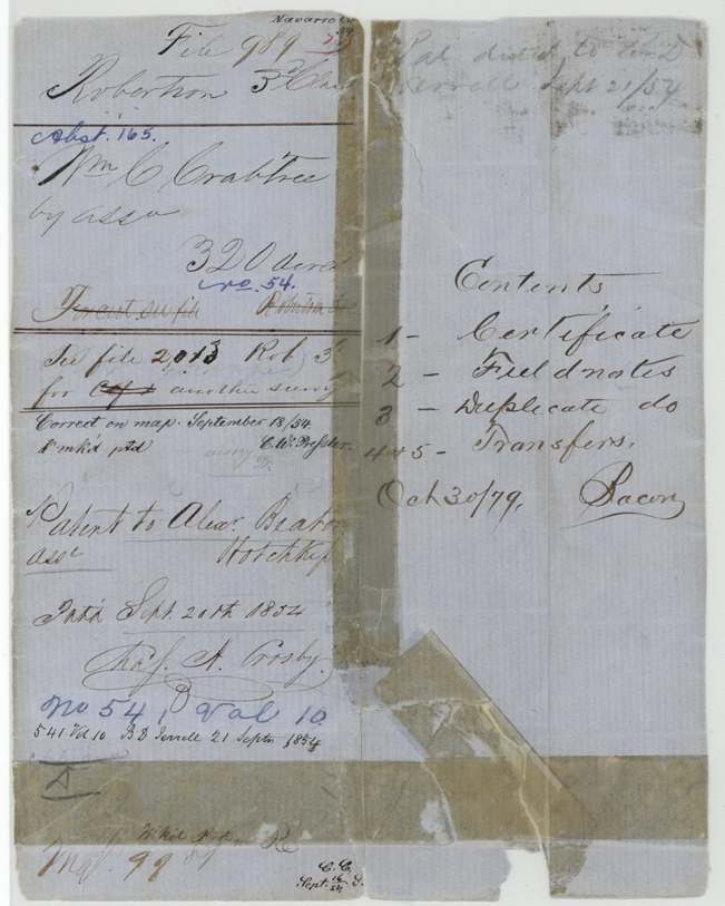
- Robertson 3rd class, file 989
- Certificate
- No. 54
- Acres
- 320
- Patented to
- Alexander Beaton
- Patent
- 20 Sep 1854 · No. 541, Vol. 10
Tap a survey to open its page.
What the file shows
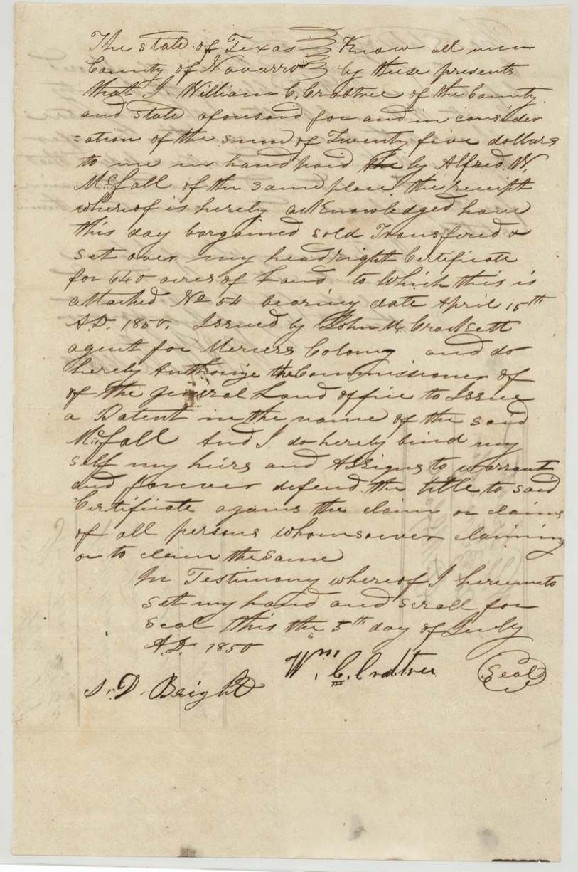
William C. Crabtree received headright certificate No. 54 for 640 acres on 15 April 1850 from John M. Crockett, commissioner for Mercer's Colony, and sold the whole certificate to Alfred W. McFall at Corsicana for $25 that July. Deputy surveyor William M. Love laid out 320 acres of it on the waters of Richland Creek about 12 1/2 miles SE of Corsicana in July 1852 and again in April 1853, the second time with McFall himself carrying the chain. In January 1854 McFall sold that half to Alexander Beaton for $50; after a relocation certificate in April 1854, the patent (No. 541, Vol. 10) issued to Beaton as assignee on 20 September 1854. The certificate and the other half's survey are in file 2013 Robertson 3rd.
The certificate
headright 3rd class, No. 54, 640 (this file covers 320, half the certificate), John M. Crockett, commissioner (agent) for Mercer's Colony, not stated in this file, 15 Apr 1850.
Not stated - the certificate itself is not in this file; jacket says 'See file 2013 Rob 3rd for Cert and other survey'
Changes of hand
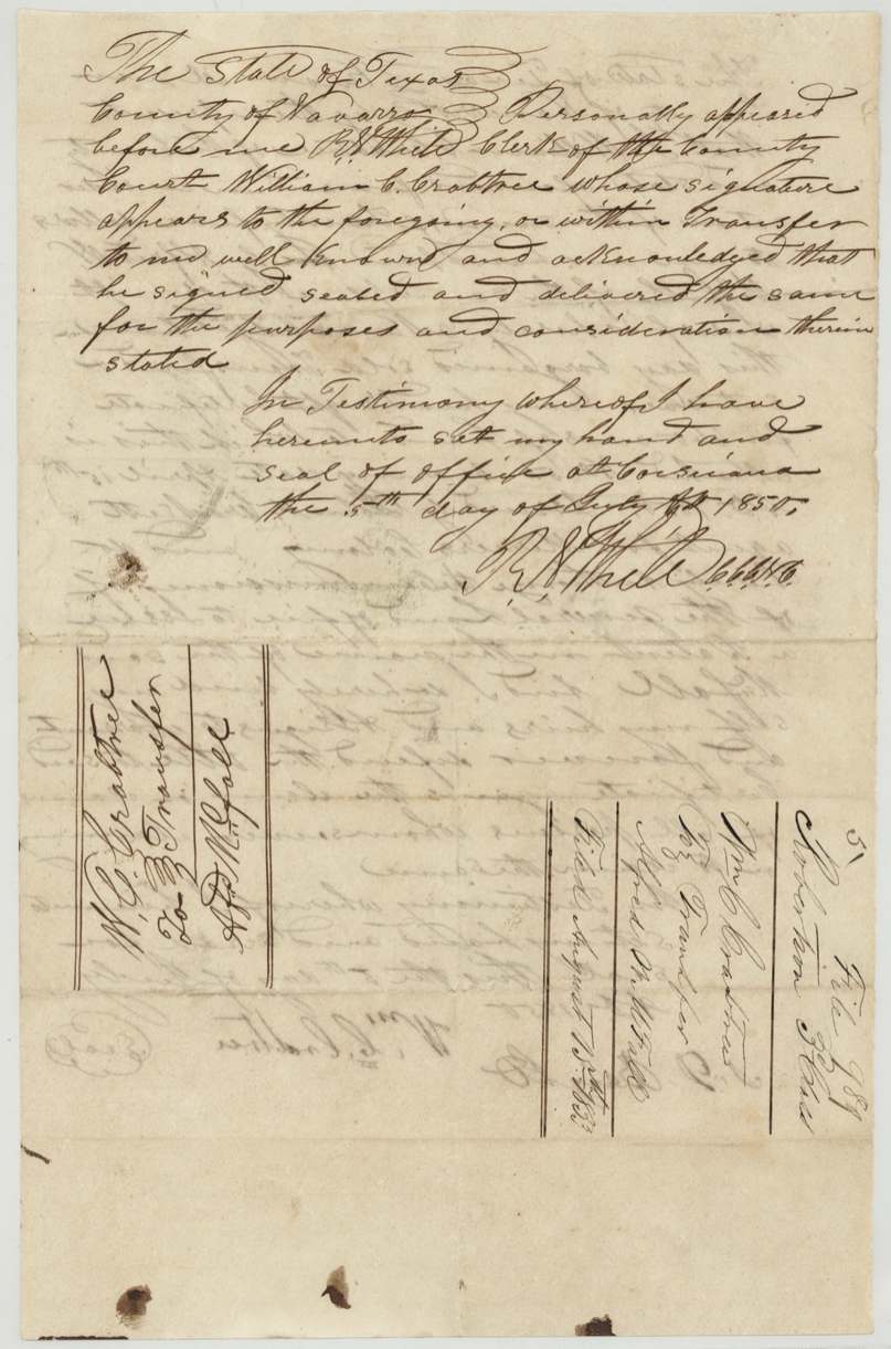
- 5 Jul 1850William C. Crabtree, of Navarro County → Alfred W. McFall, of the same place, $25, Navarro County (acknowledged at Corsicana). Whole 640-acre headright certificate No. 54 sold less than three months after issue; Crabtree authorizes the Commissioner of the GLO to issue patent in McFall's name. Filed in GLO August 15(?) 1853.
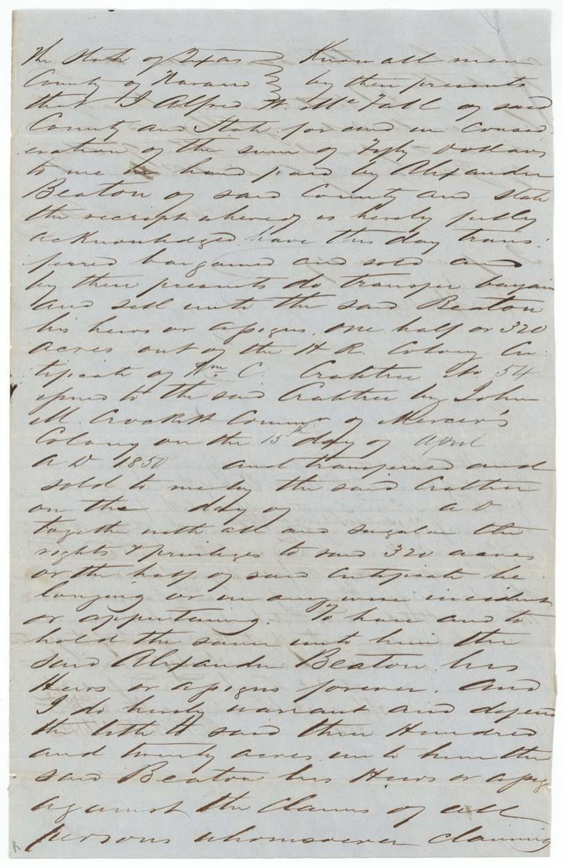
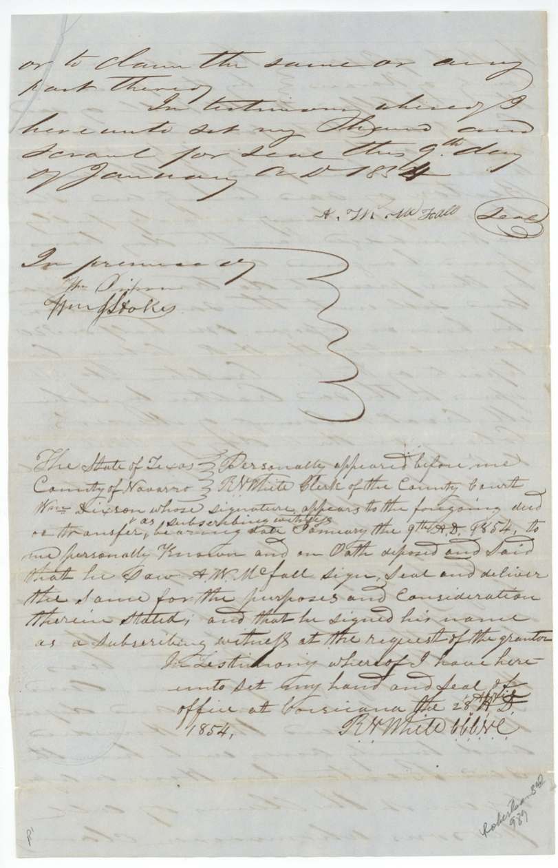
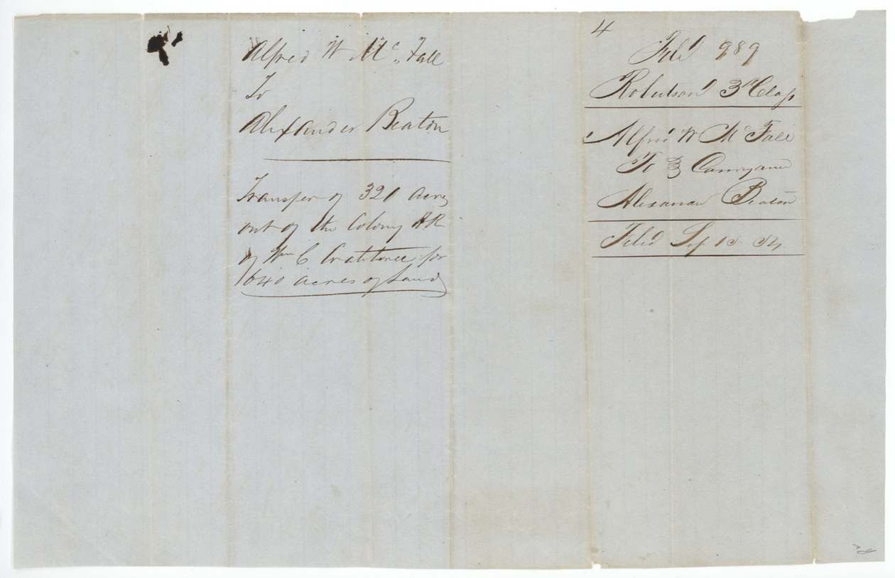
- 9 Jan 1854Alfred W. McFall, of Navarro County → Alexander Beaton, of Navarro County, $50, Navarro County. One half, or 320 acres, of Crabtree certificate No. 54. Blank left for the date of the Crabtree-to-McFall sale. Endorsed 'Transfer of 320 acres out of the Colony HR of Wm C Crabtree for 640 acres'; filed Sep 18, '54.
The survey
7 Jul 1852, William M. Love (signature reads 'Lave'; endorsement 'Rec'd paid by Wm M Love').
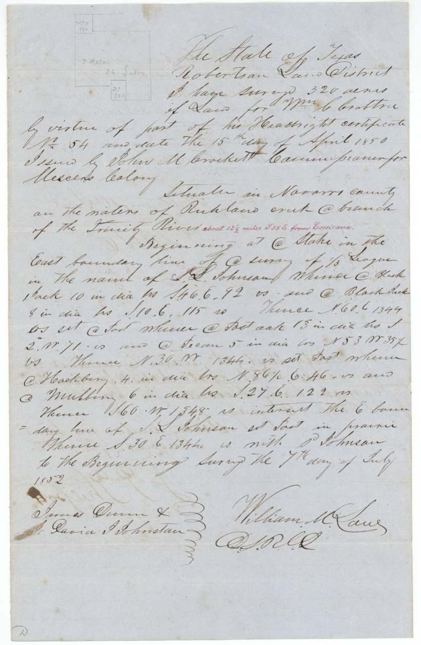
Navarro County, on the waters of Richland Creek, a branch of the Trinity River, about 12 1/2 miles S 55 E from Corsicana (red-ink later addition). Begins at a stake in the East boundary line of a survey of 1/3 league in the name of S. L. Johnson; runs N60E 1344 vrs, N30W 1344 vrs, S60W 1348 vrs to intersect Johnson's E line, S30E 1344 vrs with Johnson to beginning.
Chain carriers: James Dunn, David J. Johnston.
Book S(?) page 106
The survey
15 Apr 1853, William M. Love.
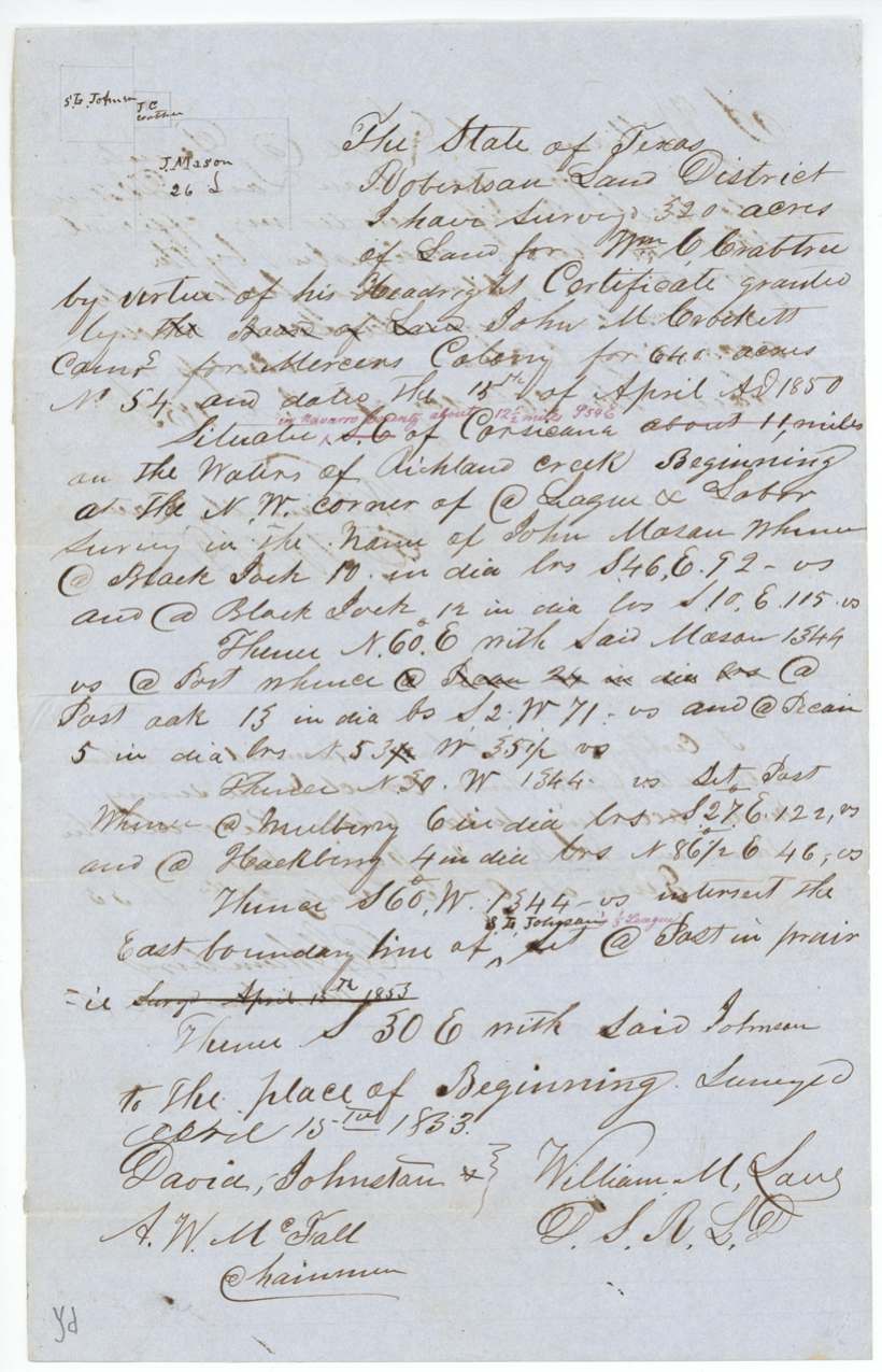
Robertson Land District, situate S.E. of Corsicana (orig. 'about 11 miles', struck; red-ink 'in Navarro County about 12 1/2 miles S 55 E'), on the waters of Richland Creek. Begins at the N.W. corner of a league and labor survey in the name of John Mason; N60E 1344 vrs with said Mason; N30W 1344 vrs; S60W 1344 vrs to intersect the east boundary line of S. L. Johnson 1/3 league at a post in prairie; S30E with said Johnson to beginning.
Chain carriers: David Johnston, A. W. McFall.
Book V page 133
The patent
20 Sep 1854, No. 541, Vol. 10, to Alexander Beaton, assignee, delivered to B. D. Terrell(?), 21 Sept 1854 ('Pat. delivered to ... Terrell Sept 21/54').
Also in the file
- Two sets of field notes for the same 320 acres: 7 July 1852 (tied to S. L. Johnson, recorded Book S? p.106) and 15 April 1853 (tied to John Mason's NW corner, recorded Book V p.133); bearing trees match, so the 1853 notes appear to re-describe the same tract.
- Original distance 'about 11 miles' SE of Corsicana struck and replaced in red with 'about 12 1/2 miles S55E'.
- Certificate issued by the Mercer's Colony commissioner, yet the file sits in Robertson 3rd class.
- McFall's deed leaves blank the date he bought from Crabtree.
- Contents list counts a certificate that is not in this file (it is in file 2013 Rob 3rd).
Timeline
- 15 Apr 1850Headright certificate No. 54 (640 acres) issued to Wm C. Crabtree by John M. Crockett for Mercer's Colony
- 5 Jul 1850Crabtree sells the whole certificate to Alfred W. McFall for $25, acknowledged at Corsicana before R. N. White
- 7 Jul 1852William M. Love surveys 320 acres on Richland Creek (carriers James Dunn, David J. Johnston)
- 9 Aug 1852Field notes examined and recorded Book S(?) p.106
- 15 Apr 1853Love surveys the 320 acres again, from John Mason's NW corner (carriers David Johnston, A. W. McFall)
- 28 Jul 1853Recorded Book V p.133; filed GLO Aug 15, 1853
- 9 Jan 1854McFall sells half the certificate (320 acres) to Alexander Beaton for $50
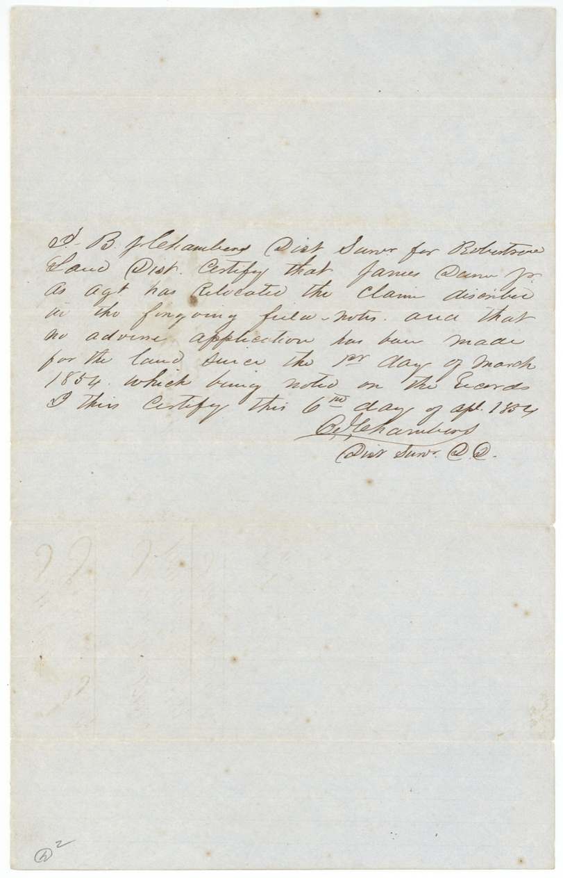
- 6 Apr 1854Dist. Surveyor Chambers certifies James Dunn Jr., agent, relocated the claim; no adverse application since 1 March 1854
- 18 Sep 1854Correct on map; McFall-Beaton transfer filed
- 20 Sep 1854Patent No. 541 Vol. 10 to Alexander Beaton, assignee
- 21 Sep 1854Patent delivered (to Terrell?)
The papers in the file
Every page of the Land Office file, in the order the Land Office keeps them (13 pages). Tap a page to see it larger.
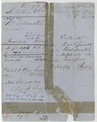 File jacketFile jacket for 320 acres of William C. Crabtree's Mercer Colony certificate No. 54, patented to Alexander Beaton, assignee, on 20 September 1854.General Land Office, file 989, page 1 · in the scan
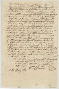 TransferDeed of 5 July 1850 in which William C. Crabtree sold his 640-acre certificate No. 54 to Alfred W. McFall for $25.General Land Office, file 989, page 2 · in the scan
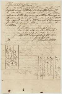 AffidavitAcknowledgment of the Crabtree deed before Navarro County clerk R. N. White at Corsicana, with filing notes.General Land Office, file 989, page 3 · in the scan
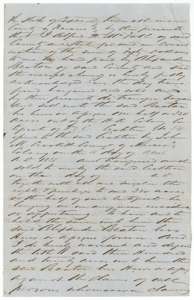 TransferDeed of 9 January 1854 in which Alfred W. McFall sold half of the Crabtree certificate, 320 acres, to Alexander Beaton for $50.General Land Office, file 989, page 4 · in the scan
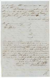 AffidavitClose of the McFall deed, with witness proof taken before Navarro County clerk R. N. White at Corsicana in 1854.General Land Office, file 989, page 5 · in the scan
 WrapperWrapper for the McFall to Beaton transfer of 320 acres, filed 18 September 1854.General Land Office, file 989, page 6 · in the scan
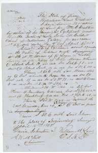 Field notesField notes and plat for 320 acres on Richland Creek, surveyed for William C. Crabtree by deputy surveyor William M. Love, 15 April 1853.General Land Office, file 989, page 7 · in the scan
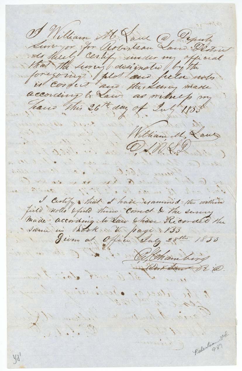
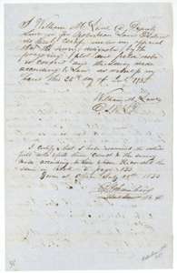 Surveyor's certificateDeputy surveyor William M. Love's certificate of 26 July 1853, with district surveyor Chambers's certificate of 28 July 1853 recording the notes in Book V, page 133.General Land Office, file 989, page 8 · in the scan
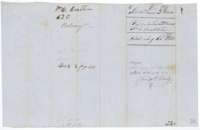 WrapperWrapper for the 1853 field notes of Crabtree's 320 acres, filed at the Land Office on 15 August 1853.General Land Office, file 989, page 9 · in the scan
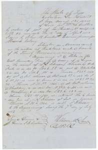 Field notesDuplicate field notes and plat for 320 acres on Richland Creek, surveyed for William C. Crabtree by deputy surveyor William M. Love, 7 July 1852.General Land Office, file 989, page 10 · in the scan
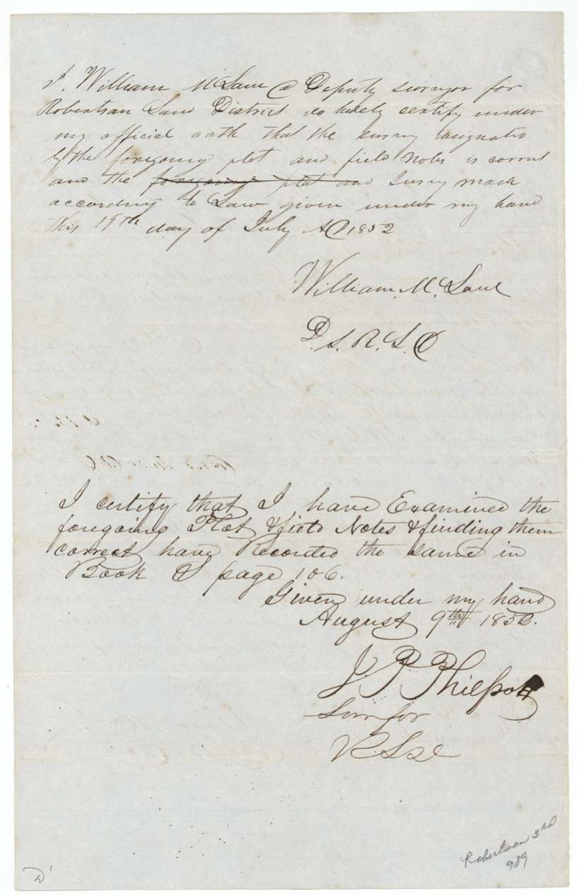
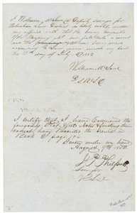 Surveyor's certificateDeputy surveyor Love's oath of 19 July 1852 and surveyor J. P. Philpott's certificate of 9 August 1852 that the notes are correct and recorded in Book S, page 106.General Land Office, file 989, page 11 · in the scan
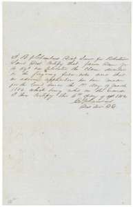 CertificateDistrict surveyor B. J. Chambers's certificate of 6 April 1854 that James Dunn Jr., as agent, relocated the claim and no adverse application had been made since 1 March 1854.General Land Office, file 989, page 12 · in the scan
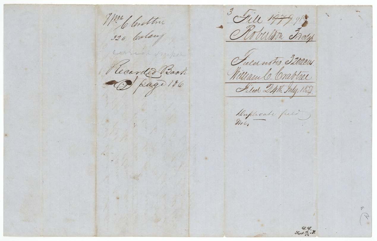
 WrapperWrapper for the duplicate field notes of Crabtree's 320 acres, filed 24 July 1852 and recorded in Book S, page 106.General Land Office, file 989, page 13 · in the scan

Scans courtesy of the Texas General Land Office, Austin, from its Land Grant Database.
Neighbouring surveys
Sources
- Texas General Land Office, Land Grant Database: Navarro County, Abstract 165
- The Land Office file, scanned (PDF, at the General Land Office)
- 1924 map: courtesy of the Texas General Land Office, Austin, Map 73249, used under licence. Topo: U.S. Geological Survey, The National Map. Aerial photographs: U.S. Department of Agriculture, National Agriculture Imagery Program, 2012, 2018 and 2022. Survey outlines: Railroad Commission of Texas, Original Texas Land Survey. Grant records and files: Texas General Land Office.