Blackland TX · ← All the original surveys
Sarah Finch Survey, Abstract 279
- Granted to
- Sarah Finch
- Kind of grant
- Headright, third classLand for later settlers, including the colonists of Mercer’s Colony.
- Land Office file
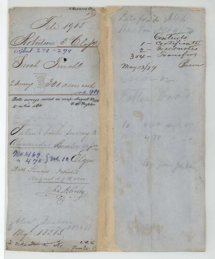
- Robertson 3rd class, file 1915
- Certificate
- No. 984
- Acres
- 320
- Patented to
- Alexander Benton
- Patent
- 29 Aug 1854 · No. 470, Vol. 10
Tap a survey to open its page.
What the file shows
Sarah Finch received Mercer's Colony certificate No. 984 for 640 acres from Commissioner John M. Crockett at Buffalo, Henderson County, on 3 June 1850 on proof of her citizenship as a colony settler. She sold it in Dallas County on 13 July 1853 to Jacob Eliot for $110, who sold it on 9 Aug 1853 to Alexander Beaton of Navarro County for $130. Beaton had it substituted for A. P. Scott's certificate No. 488 on two tracts already entered in Sept 1853, and Deputy Surveyor Wm. L. Browning surveyed them in March 1854: 320 acres on Briar Creek about 6 miles S62W of Corsicana (Abst 278) and 320 acres at the head of Cotton Wood Creek about 13.5 miles west of Corsicana (Abst 279). Both were patented to Beaton (indexed as Benton) on 29 Aug 1854, Nos. 469 and 470, Vol. 10.
The certificate
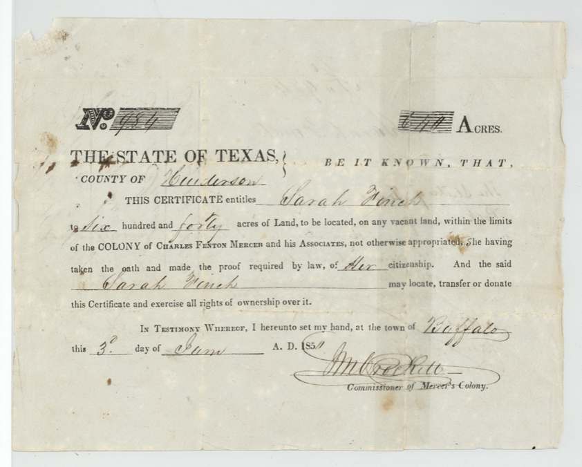
other (Mercer's Colony colonist certificate; filed as Robertson 3rd class), No. 984, 640 acres, J. M. (John M.) Crockett, Commissioner of Mercer's Colony, Town of Buffalo, Henderson County, 3 June 1850 (certificate's printed '185_' with last digit faint; field notes and both transfers say 1850).
Entitles Sarah Finch to 640 acres on any vacant land within the limits of the Colony of Charles Fenton Mercer and his Associates, 'she having taken the oath and made the proof required by law, of her citizenship'; transfers call her 'a settler in Mercer's Colony' / 'a colonist of Mercer's Colony'
Changes of hand
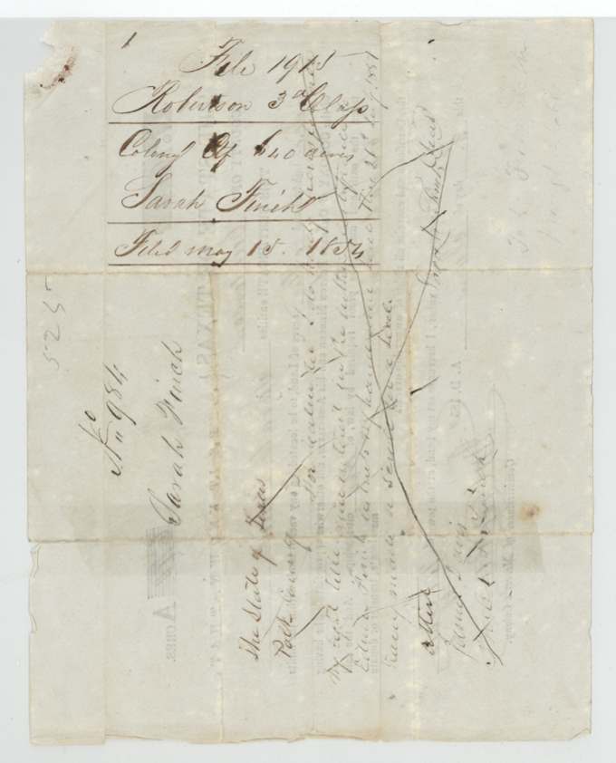
- [Jan(?)] 21, 1851(?)Sarah Finch → (cancelled transfer — name illegible, possibly Elias Finch(?)), Polk(?) County, Texas. Endorsement on back of certificate (p.3), crossed through with a large X; mostly illegible
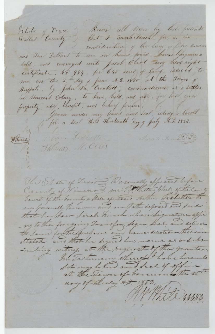
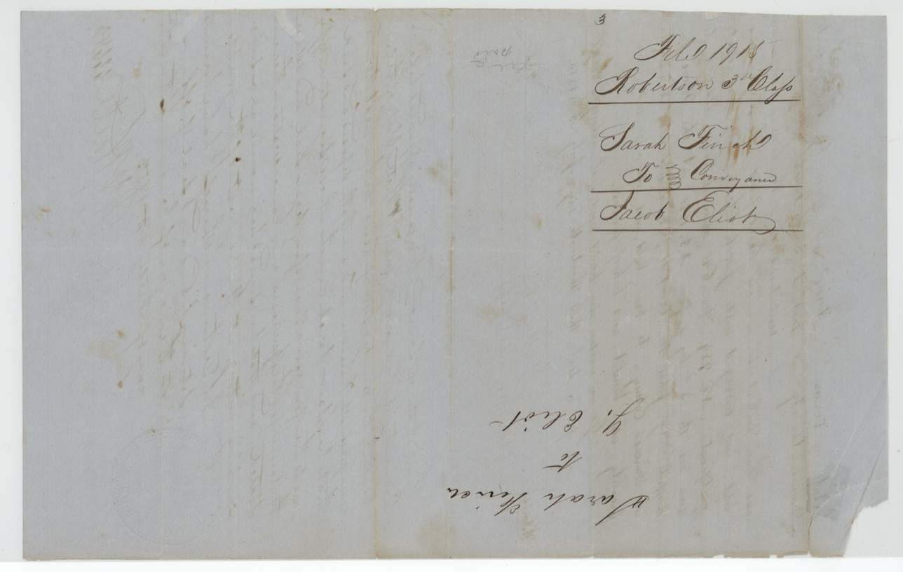
- 13 Jul 1853Sarah Finch (signs; seal by scroll) → Jacob Eliot, $110, Dallas County, Texas. Conveys 'my head right certificate No. 984 for 640 acres ... issued to me on the 3d day of June A.D. 1850 at the Town of Buffalo by John M. Crockett, commissioner, as a settler in Mercer's Colony'
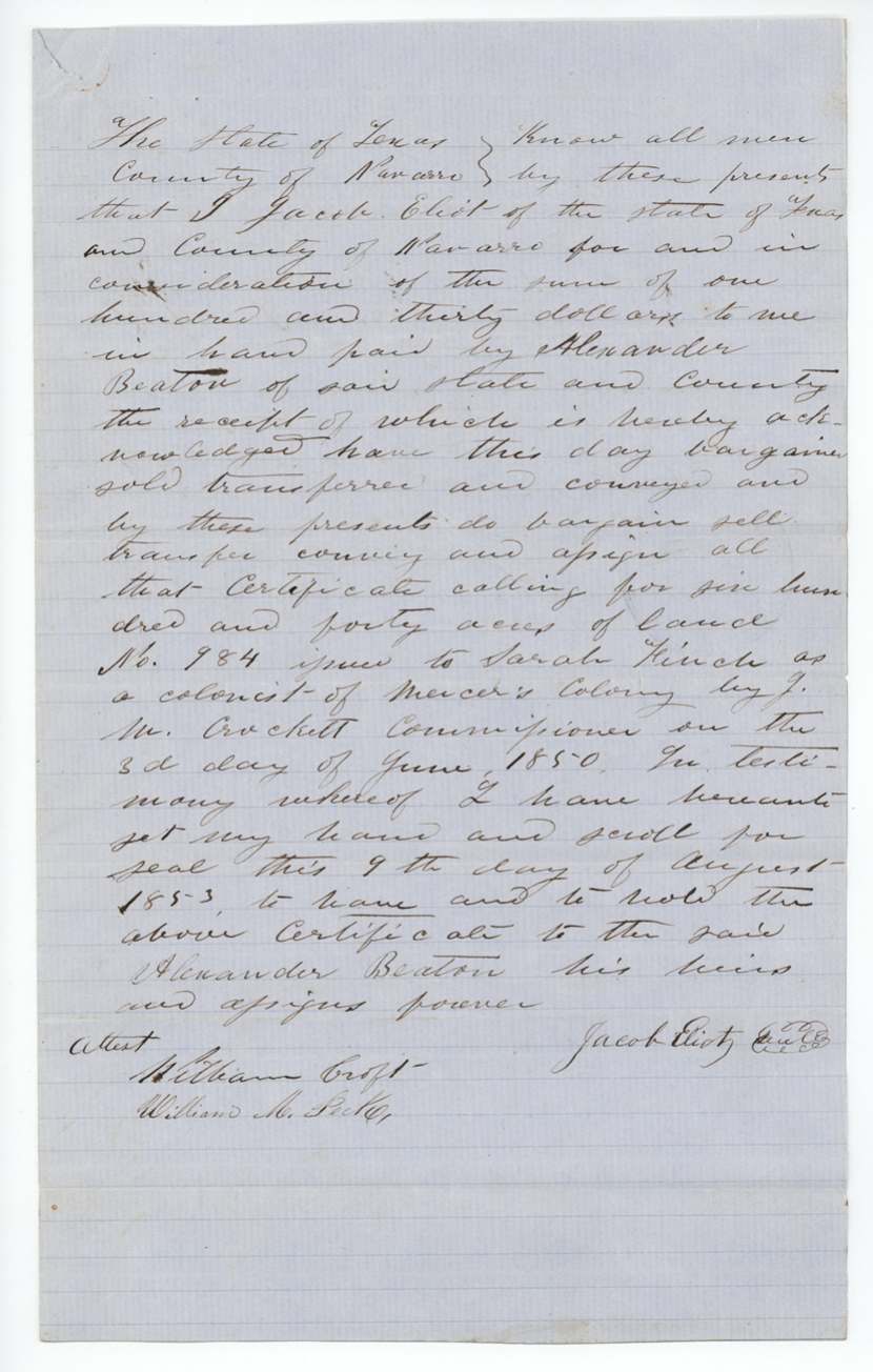
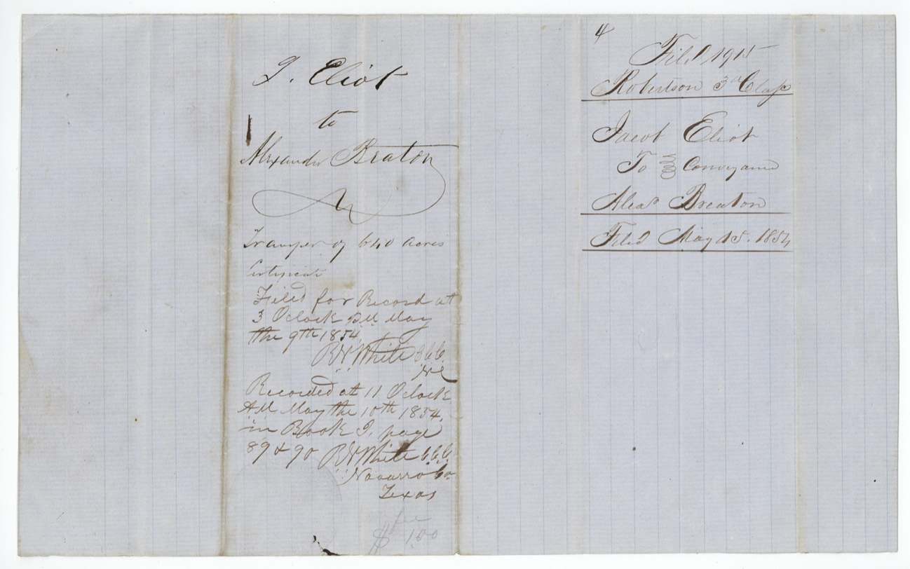
- 9 Aug 1853Jacob Eliot, of Navarro County → Alexander Beaton, of Navarro County, $130, Navarro County, Texas. Filed for record 9 May 1854, 3 p.m.; recorded 10 May 1854, 11 a.m., Navarro County Book I(?) pages 89 & 90; fee $1.00
The survey
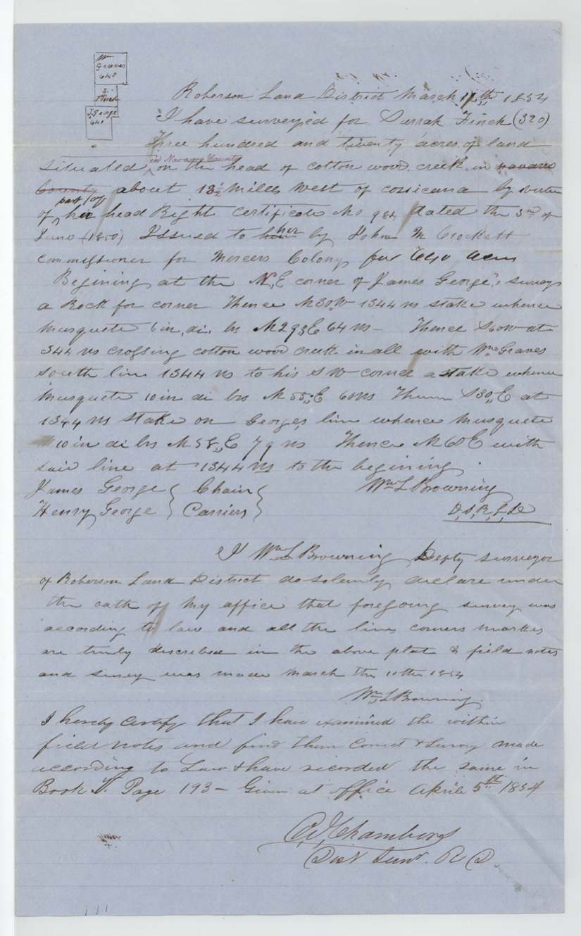
1854-03-10 (heading dated 17 Mar 1854), Wm. L. Browning.
ABSTRACT 279: 320 acres 'situated in Navarro County on the head of Cotton Wood creek about 13 1/2 miles West of Corsicana', part of certificate No. 984; begins at NE corner of James George's survey, a rock for corner; N30W 1344 vrs; S60W crossing Cotton Wood Creek at 544 vrs, with Wm. Graves' south line 1344 vrs to his SW corner; S30E 1344 vrs to stake on George's line; N60E with George's line 1344 vrs to beginning; bearing trees mesquite
Chain carriers: James George, Henry George.
Book V, page 193
The survey
1854-03-15 (sworn 17 Mar 1854), Wm. L. Browning.
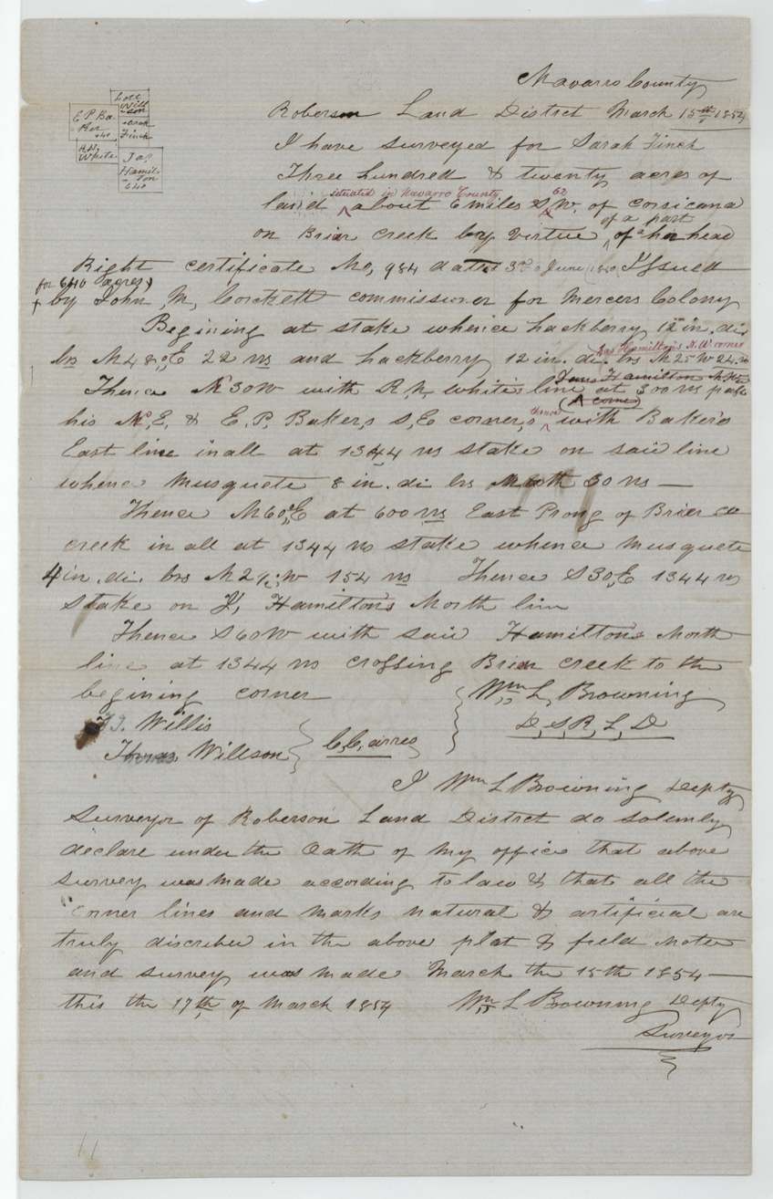
ABSTRACT 278: 320 acres 'situated in Navarro County about 6 miles S62W of Corsicana on Briar creek', part of certificate No. 984; begins at stake with hackberries; N30W with R. N. White's line at 300 vrs passing his NE and E. P. Baker's SE corner, with Baker's east line 1344 vrs; N60E at 600 vrs East Prong of Briar Creek, 1344 vrs; S30E 1344 vrs to stake on J. Hamilton's north line; S60W with Hamilton's north line 1344 vrs crossing Briar Creek to beginning; Jas. Hamilton's NW corner noted in red
Chain carriers: F. Willis(?), Thomas Willson.
Book V, page 194
The patent
29 Aug 1854, Nos. 469 (Abst 278) and 470 (Abst 279), Vol. 10, to Alexander Beaton, assignee ('Patent both surveys to Alexander Benton Assn'), delivered to Wrapper: 'Pats forw'd Alex Beaton' followed by a word read as 'Elgin(?)'.
Also in the file
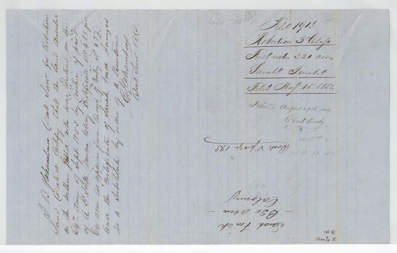
- Both tracts were first entered 24 Sept 1853 under A. P. Scott's Mercer certificate No. 488; Beaton had Finch's certificate substituted on the same ground
- Patentee spelled Beaton in deeds and surveyor certificate, Breaton on one jacket, Benton on outer wrapper (and in GLO index)
- Survey of Abst 279 headed 'March 17th 1854' but oath says made 'March 10th 1854'
- First transfer of the certificate (Polk(?) County, 1851(?)) was cancelled with an X
- Certificate filed as 'Robertson 3rd Class' though it is a Mercer colony certificate
- Wrapper word 'Elgin' after Vol. 10 — the same word appears beside 'Correct for patenting' on file 417 (abst 417), so probably a GLO clerk's signature
Timeline
- 3 Jun 1850Mercer colony certificate No. 984 (640 acres) issued to Sarah Finch at Buffalo by J. M. Crockett
- 1851(?)Transfer endorsed on certificate (Polk Co.?), later cancelled
- 13 Jul 1853Sarah Finch sells certificate to Jacob Eliot for $110 (Dallas County)
- 25 Jul 1853Witness Arthur Ledbetter proves her signature at Corsicana
- 9 Aug 1853Jacob Eliot sells to Alexander Beaton for $130
- 24 Sep 1853Both tracts entered under A. P. Scott's certificate No. 488
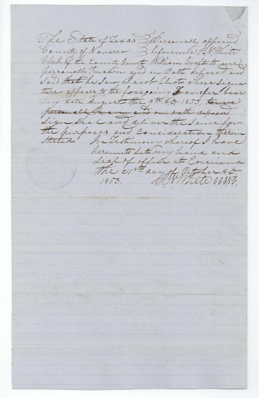
- 21 Oct 1853William Croft proves Eliot's signature
- 10 Mar 1854Browning surveys Cotton Wood Creek tract (Abst 279)
- 15 Mar 1854Browning surveys Briar Creek tract (Abst 278)
- 5 Apr 1854District Surveyor Chambers examines and records both
- 10 May 1854Eliot–Beaton deed recorded in Navarro County
- 15 May 1854Papers filed in GLO
- 23 Aug 1854Both surveys checked correct on map (C. W. Pressler)
- 29 Aug 1854Patents Nos. 469 and 470, Vol. 10, to Alexander Beaton
The papers in the file
Every page of the Land Office file, in the order the Land Office keeps them (12 pages). Tap a page to see it larger.
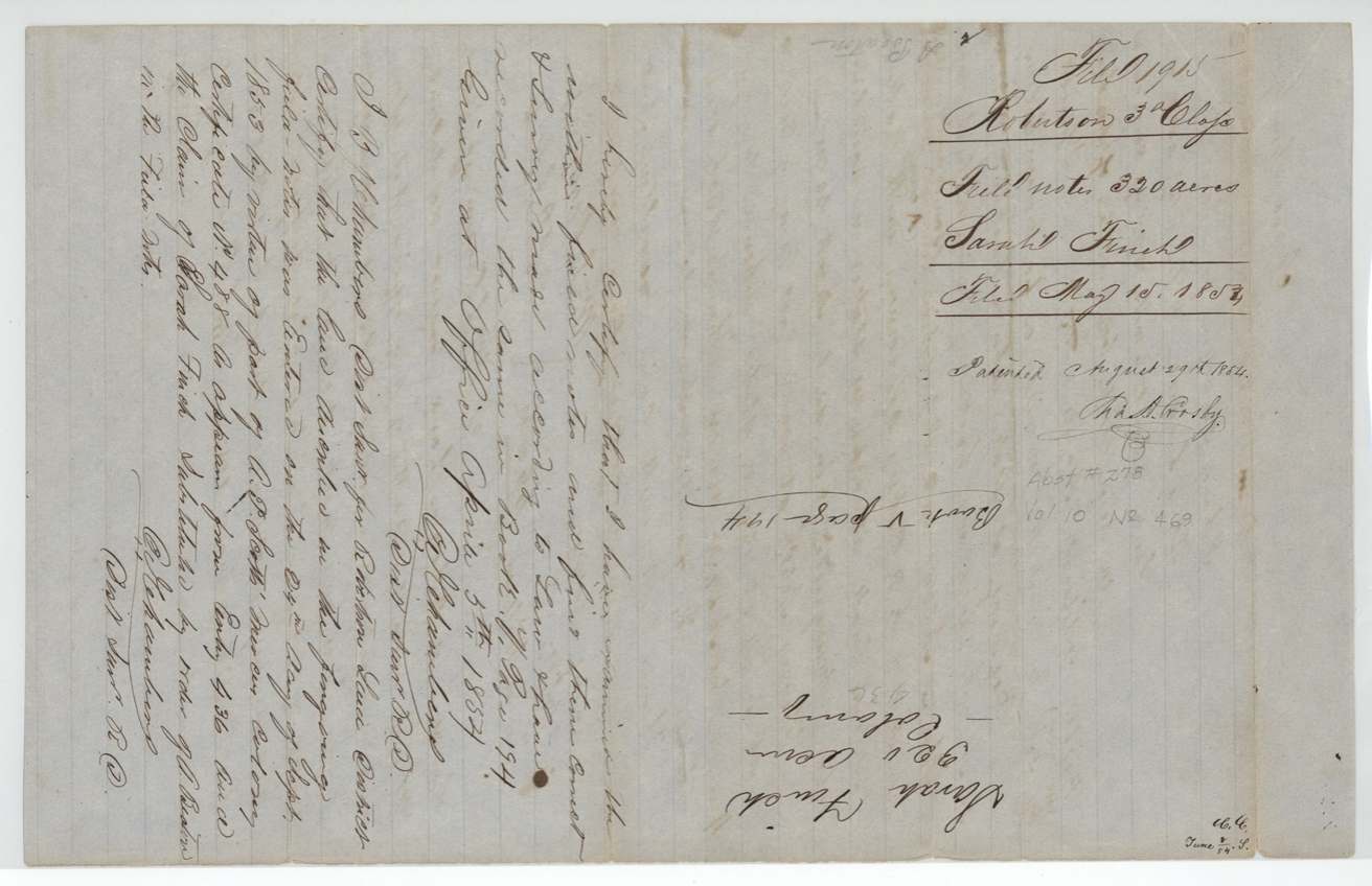
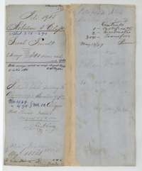 File jacketFile jacket for Sarah Finch's two 320-acre surveys, Abstracts 278 and 279, patented to Alexander Beaton on 29 August 1854.General Land Office, file 1915, page 1 · in the scan
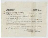 CertificateMercer Colony certificate No. 984 issued at Buffalo on 3 June 1850 by Commissioner John M. Crockett to Sarah Finch for 640 acres.General Land Office, file 1915, page 2 · in the scan
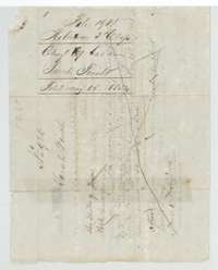 Back of the certificateBack of the certificate, with the Land Office filing note of 15 May 1854 and an earlier endorsement crossed out.General Land Office, file 1915, page 3 · in the scan
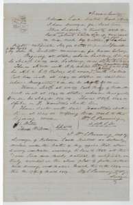 Field notesField notes and plat for 320 acres on Briar Creek, surveyed for Sarah Finch by deputy surveyor William L. Browning, March 1854.General Land Office, file 1915, page 4 · in the scan
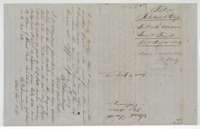 WrapperWrapper for the Briar Creek field notes, with district surveyor B. J. Chambers's certificate of April 1854 and the Land Office filing note of 15 May 1854.General Land Office, file 1915, page 5 · in the scan
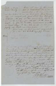 TransferDeed of 13 July 1853 in which Sarah Finch sold her certificate No. 984 to Jacob Eliot for $110, proved at Corsicana on 25 July 1853.General Land Office, file 1915, page 6 · in the scan
 WrapperWrapper for the transfer from Sarah Finch to Jacob Eliot.General Land Office, file 1915, page 7 · in the scan
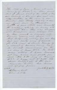 TransferDeed of 9 August 1853 in which Jacob Eliot sold certificate No. 984 to Alexander Beaton for $130.General Land Office, file 1915, page 8 · in the scan
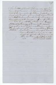 AffidavitProof of the Eliot deed by witness William Croft before Navarro County clerk R. N. White at Corsicana, 21 October 1853.General Land Office, file 1915, page 9 · in the scan
 WrapperWrapper for the Eliot to Beaton transfer, recorded in Navarro County on 10 May 1854 and filed at the Land Office.General Land Office, file 1915, page 10 · in the scan
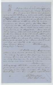 Field notesField notes and plat for 320 acres on the head of Cottonwood Creek, surveyed for Sarah Finch by William L. Browning in March 1854, with Chambers's certificate.General Land Office, file 1915, page 11 · in the scan
 WrapperWrapper for the Cottonwood Creek field notes, with surveyor Chambers's entry certificate and the patent note of 29 August 1854.General Land Office, file 1915, page 12 · in the scan
Scans courtesy of the Texas General Land Office, Austin, from its Land Grant Database.
On this ground today
- CemeteryWhite Church Cemetery
Places that stand inside this survey’s lines as the state’s survey map draws them.
Neighbouring surveys
Sources
- Texas General Land Office, Land Grant Database: Navarro County, Abstract 279
- The Land Office file, scanned (PDF, at the General Land Office)
- 1924 map: courtesy of the Texas General Land Office, Austin, Map 73249, used under licence. Topo: U.S. Geological Survey, The National Map. Aerial photographs: U.S. Department of Agriculture, National Agriculture Imagery Program, 2012, 2018 and 2022. Survey outlines: Railroad Commission of Texas, Original Texas Land Survey. Grant records and files: Texas General Land Office.