Blackland TX · ← All the original surveys
John Lee Survey, Abstract 495
- Granted to
- John Lee
- Kind of grant
- Headright, third classLand for later settlers, including the colonists of Mercer’s Colony.
- Land Office file
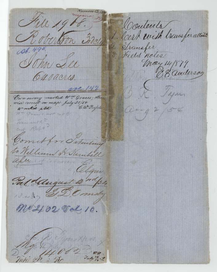
- Robertson 3rd class, file 1968
- Certificate
- No. 147
- Acres
- 640
- Patented to
- William H. Kimbell
- Patent
- 02 Aug 1854 · No. 402, Vol. 10
Tap a survey to open its page.
What the file shows
John Lee received Mercer's Colony certificate No. 147 for 640 acres at Corsicana on 17 Apr 1850 from Commissioner John M. Crockett as a citizen of the colony. He sold it by his mark to B. R. Tyus of Limestone County on 23 Aug 1850, and Tyus held it until 20 Jul 1854, when he conveyed it to William H. Kimbell of Shelby County, Tennessee. Deputy Surveyor Wm. L. Browning located it on 27 Jun 1854 on Cottonwood Creek, a branch of Richland Creek about 12 miles west of Corsicana, adjoining Sarah Finch's survey. Despite overlapping a survey marked Wm. Graves on the GLO map, it was patented to Kimbell on 2 Aug 1854 (No. 402, Vol. 10), with the patent delivered to Tyus.
The certificate
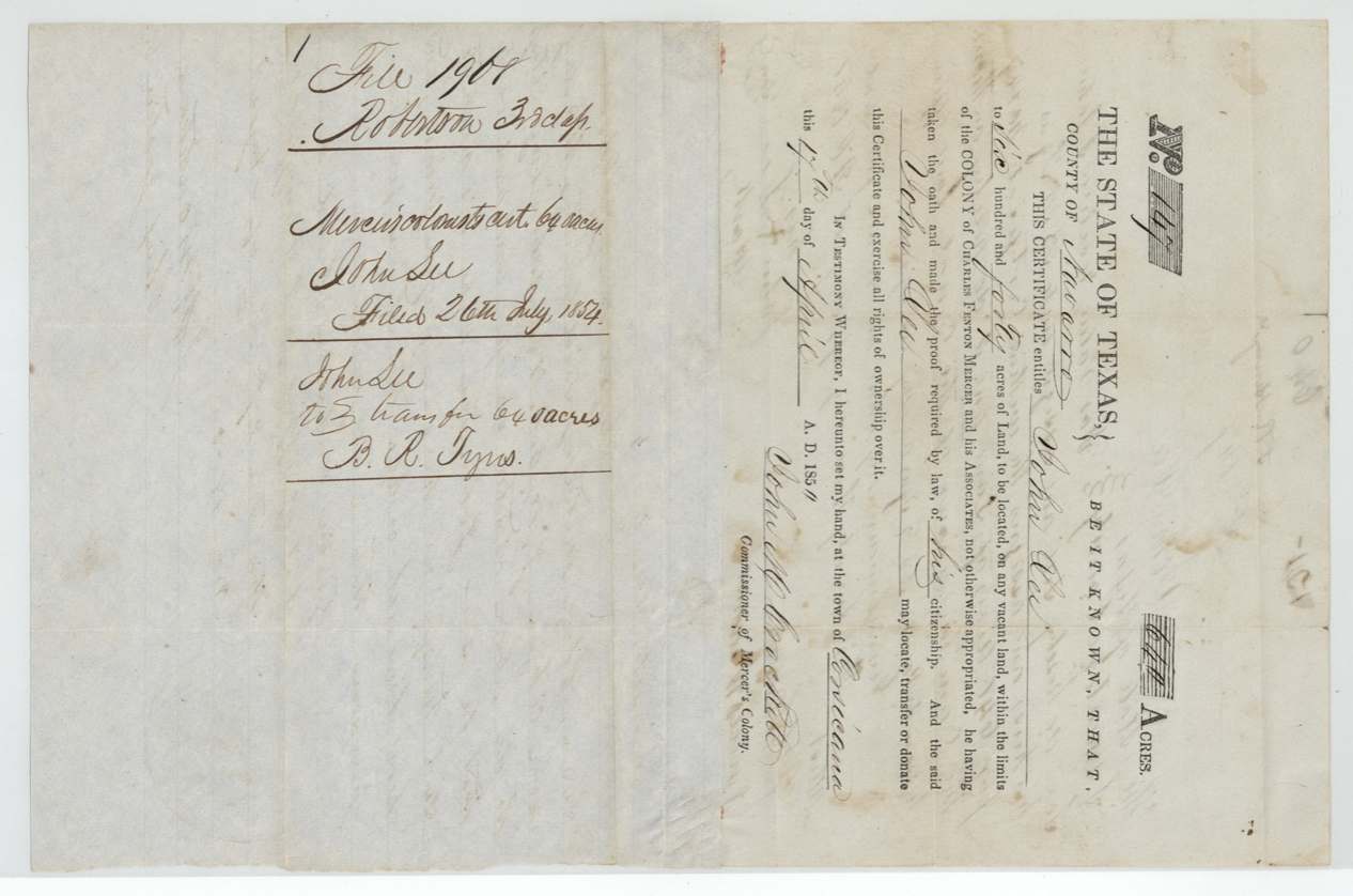
other (Mercer's Colony colonist certificate; filed as Robertson 3rd class), No. 147, 640 acres, John M. Crockett, Commissioner of Mercer's Colony, Town of Corsicana, County of Navarro, 1850-04-17 (printed '185_' with faint last digit; field notes say 17 April 1850).
Entitles John Lee to 640 acres on vacant land within the limits of the Colony of Charles Fenton Mercer and his Associates, 'he having taken the oath and made the proof required by law, of his citizenship'; Kimbell deed calls it 'the headright certificate of John Lee ... issued to him ... as a citizen of said Colony'
Changes of hand
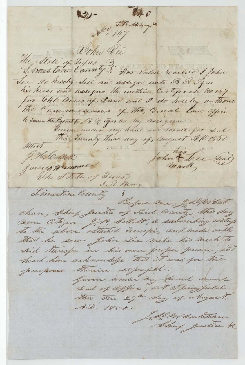
- 23 Aug 1850John Lee (his X mark) → B. R. Tyus, 'for value received', Limestone County, Texas. Endorsed on the certificate; authorises patent to B. R. Tyus as assignee; 'J. R. Henry' written at head and foot of endorsement
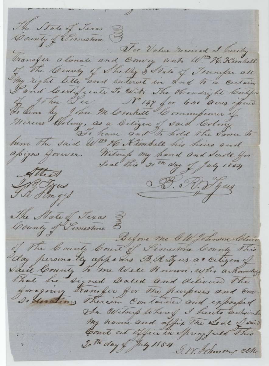
- 20 Jul 1854B. R. Tyus → Wm. H. Kimbell, of Shelby County, Tennessee, 'for value received', Limestone County, Texas. Conveys 'the headright certificate of John Lee No. 147 for 640 acres issued to him by John M. Crockett Commissioner of Mercer's Colony as a citizen of said Colony'
The survey
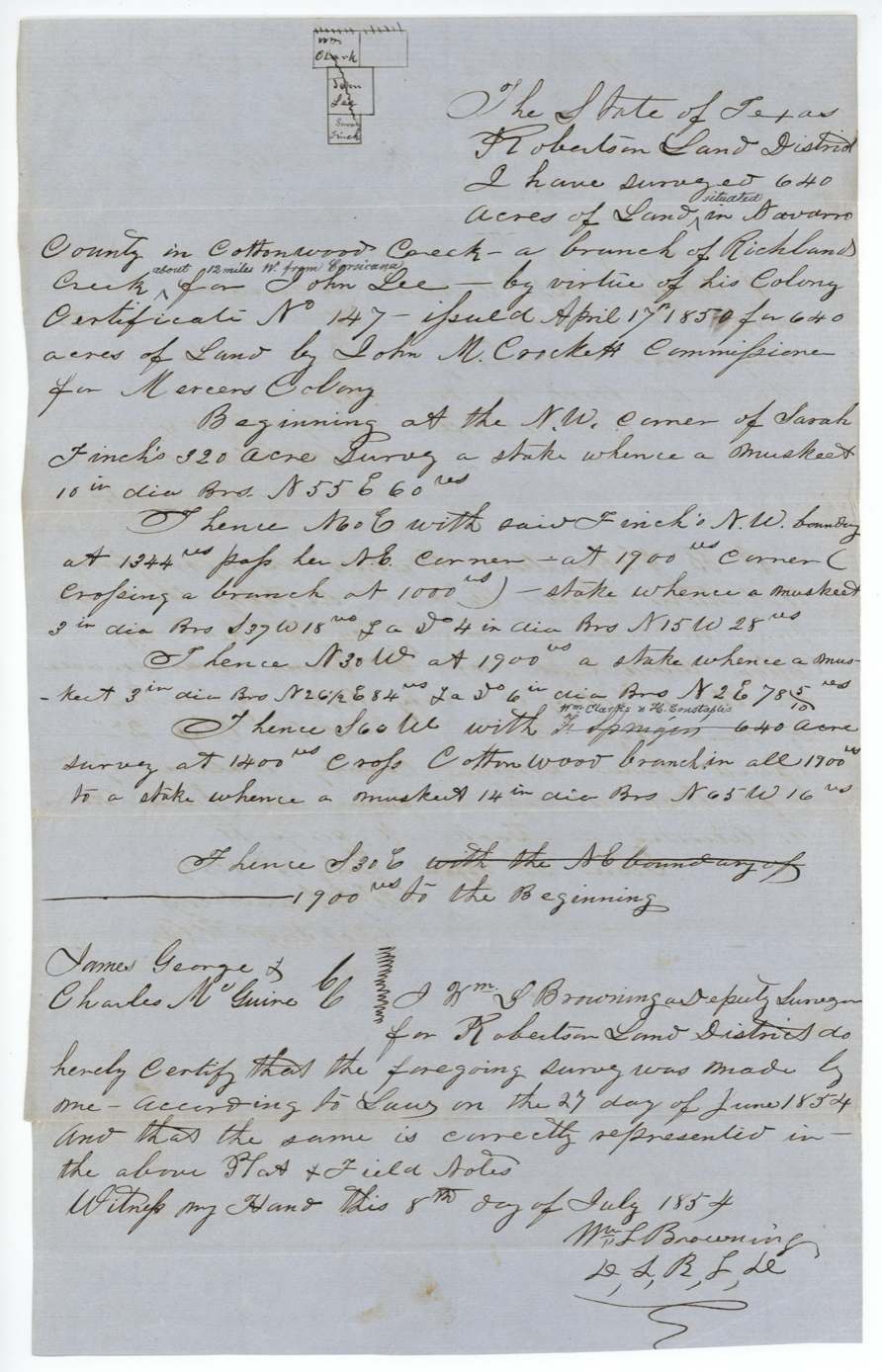
1854-06-27 (certified 8 Jul 1854), Wm. L. Browning.
640 acres 'situated in Navarro County in Cottonwood Creek, a branch of Richland Creek, about 12 miles W. from Corsicana'; begins at NW corner of Sarah Finch's 320-acre survey; N60E with Finch's NW boundary, passing her NE corner at 1344 vrs, crossing a branch at 1000, 1900 vrs; N30W 1900 vrs; S60W with Wm. Clark's & H. Constable's(?) 640-acre survey ('F. Springer' struck), crossing Cottonwood branch at 1400, 1900 vrs; S30E 1900 vrs to beginning; bearing trees mesquite ('muskeet')
Chain carriers: James George, Charles McGuire.
Book V, page 199
The patent
2 Aug 1854, No. 402, Vol. 10, to William H. Kimbell, assignee, delivered to B. R. Tyus, Aug 2/54 (wrapper right panel, pencil).
Also in the file
- Survey overlaps one marked Wm. Graves on the GLO map; Chambers certified the Graves survey (1846, Sabine County 2nd-class headright No. 52) to account for it
- John Lee signed by mark
- Certificate held by Tyus four years (1850-1854) before sale to a Tennessee buyer and survey
- 'F. Springer' struck out as neighbour and replaced — the same substitution occurs in the Huie survey (Abst 417)
- Filed 26 Jul 1854 and patented one week later, 2 Aug 1854
Timeline
- 17 Apr 1850Mercer colony certificate No. 147 issued to John Lee at Corsicana
- 23 Aug 1850Lee (by mark) assigns to B. R. Tyus, Limestone County
- 27 Aug 1850J. H. Collett proves the transfer at Springfield
- 27 Jun 1854Browning surveys 640 acres on Cottonwood Creek
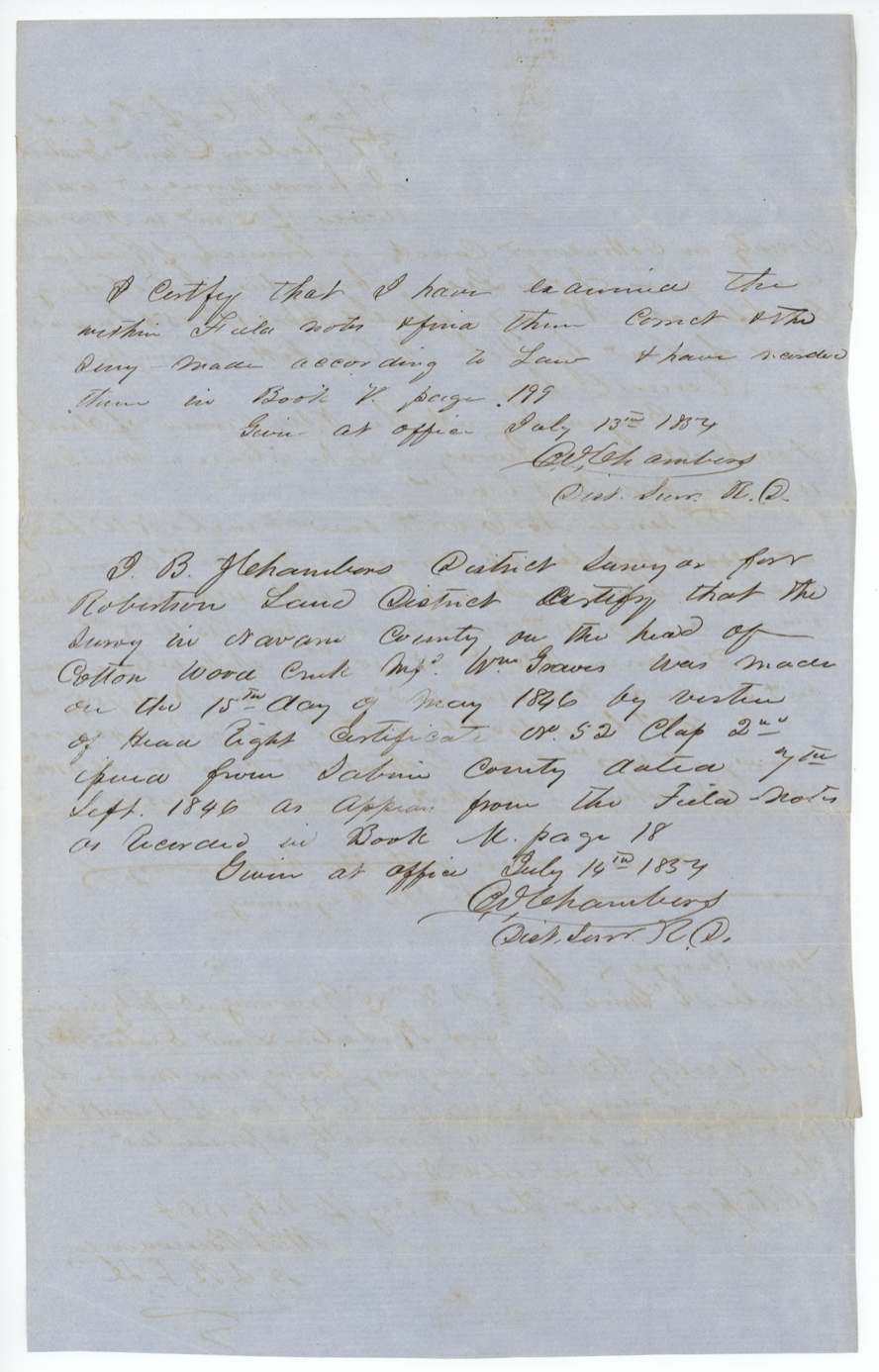
- 13 Jul 1854Chambers examines; recorded Book V p. 199
- 14 Jul 1854Chambers certifies the earlier Wm. Graves survey
- 20 Jul 1854Tyus conveys to Wm. H. Kimbell of Shelby County, Tennessee
- 26 Jul 1854Papers filed in GLO
- 31 Jul 1854Checked on map (Pressler)
- 2 Aug 1854Patent No. 402 Vol. 10 to William H. Kimbell
The papers in the file
Every page of the Land Office file, in the order the Land Office keeps them (8 pages). Tap a page to see it larger.
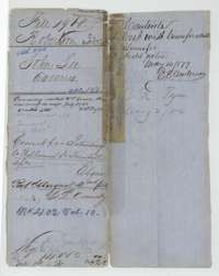 File jacketFile jacket for John Lee's 640 acres in Navarro County, Robertson 3rd Class, with the patent entry of 2 August 1854 to William H. Kimbell.General Land Office, file 1968, page 1 · in the scan
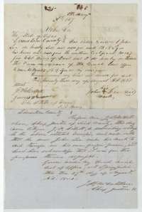 TransferTransfer of 23 August 1850 in which John Lee, by his mark, assigns certificate No. 147 for 640 acres to B. R. Tyus, with the proof of 27 August 1850.General Land Office, file 1968, page 2 · in the scan
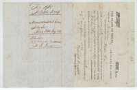 CertificateMercer's Colony certificate No. 147 for 640 acres, issued to John Lee at Corsicana by Commissioner John M. Crockett, 17 April 1850, with the file docket.General Land Office, file 1968, page 3 · in the scan
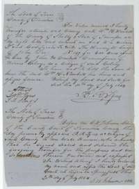 TransferDeed of 20 July 1854 in which B. R. Tyus conveys John Lee's certificate to William H. Kimbell of Shelby County, Tennessee, with the Limestone County clerk's acknowledgment.General Land Office, file 1968, page 4 · in the scan
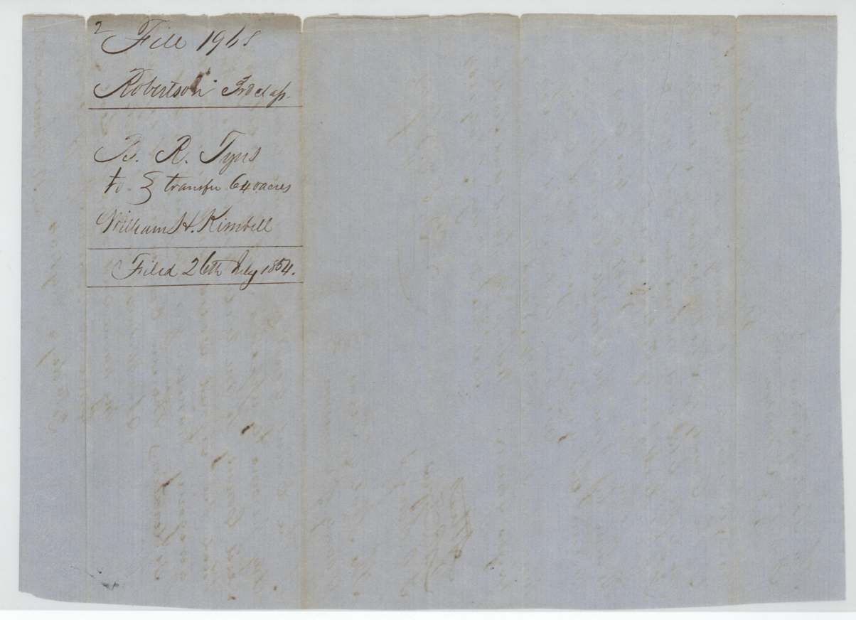
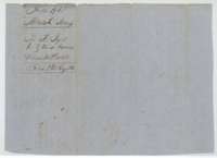 WrapperWrapper for the Tyus to Kimbell transfer of 640 acres, filed 26 July 1854.General Land Office, file 1968, page 5 · in the scan
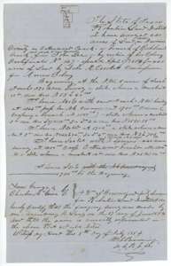 Field notesField notes and sketch of 640 acres on Cottonwood Creek, Navarro County, surveyed for John Lee by deputy surveyor William L. Browning, 27 June 1854.General Land Office, file 1968, page 6 · in the scan
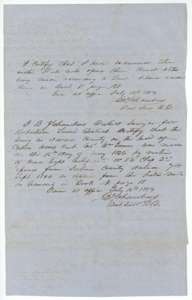 Surveyor's certificateDistrict surveyor B. J. Chambers's certificates of 13 and 14 July 1854 recording the Lee survey in Book V, page 199, and explaining the neighbouring Graves survey.General Land Office, file 1968, page 7 · in the scan
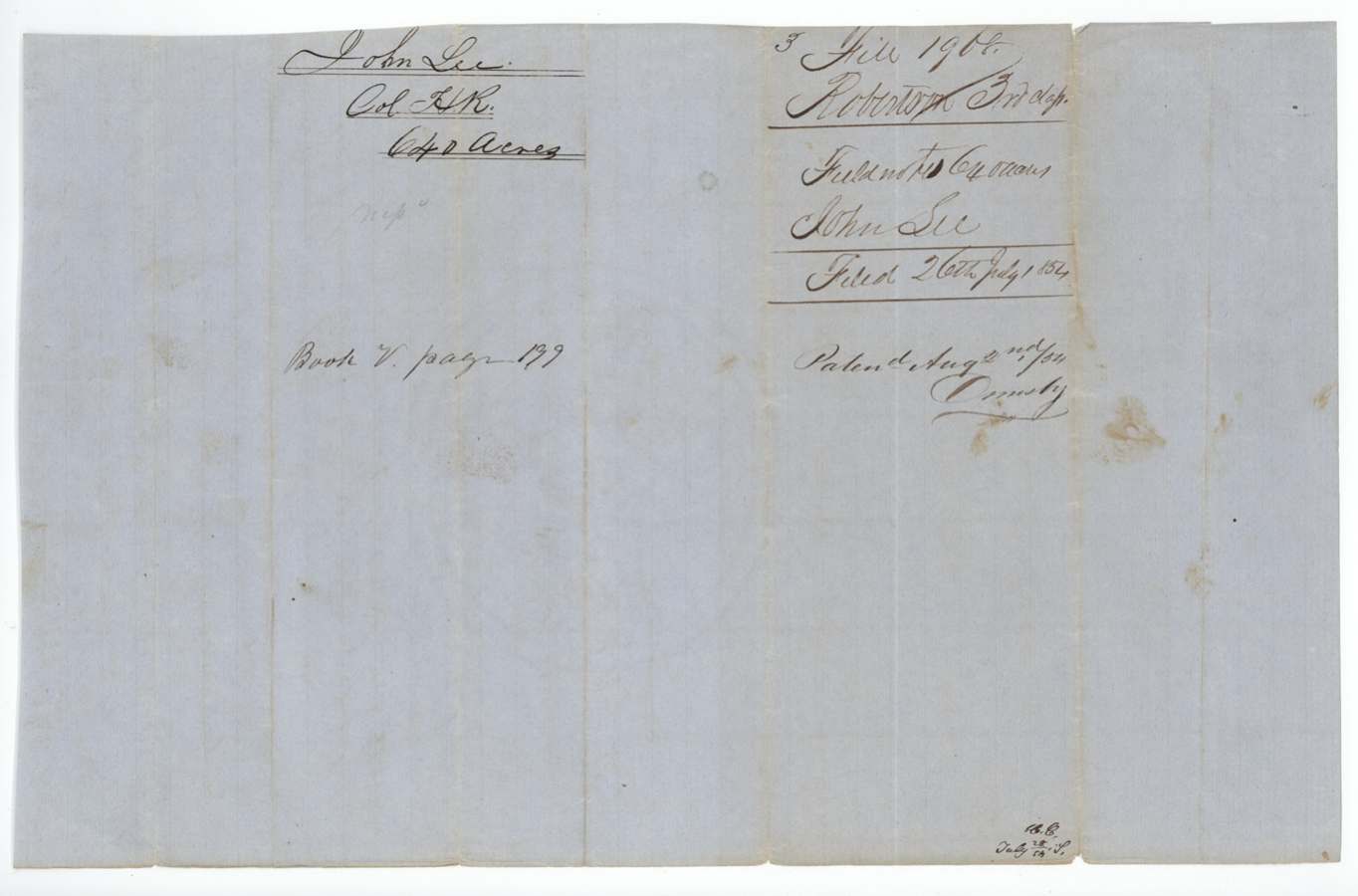
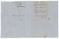 WrapperWrapper for the John Lee field notes, filed 26 July 1854, with the patent entry of 2 August 1854.General Land Office, file 1968, page 8 · in the scan
Scans courtesy of the Texas General Land Office, Austin, from its Land Grant Database.
Neighbouring surveys
Sources
- Texas General Land Office, Land Grant Database: Navarro County, Abstract 495
- The Land Office file, scanned (PDF, at the General Land Office)
- 1924 map: courtesy of the Texas General Land Office, Austin, Map 73249, used under licence. Topo: U.S. Geological Survey, The National Map. Aerial photographs: U.S. Department of Agriculture, National Agriculture Imagery Program, 2012, 2018 and 2022. Survey outlines: Railroad Commission of Texas, Original Texas Land Survey. Grant records and files: Texas General Land Office.