Blackland TX · ← All the original surveys
Howard Dillard Survey, Abstract 208
- Granted to
- Howard Dillard
- Kind of grant
- Headright, second classLand for settlers who came between independence and 1 October 1837.
- Land Office file
- Robertson 2nd class, file 500
- Certificate
- No. 1/4281
- Acres
- 320
- Patented to
- Howard Dillard
- Patent
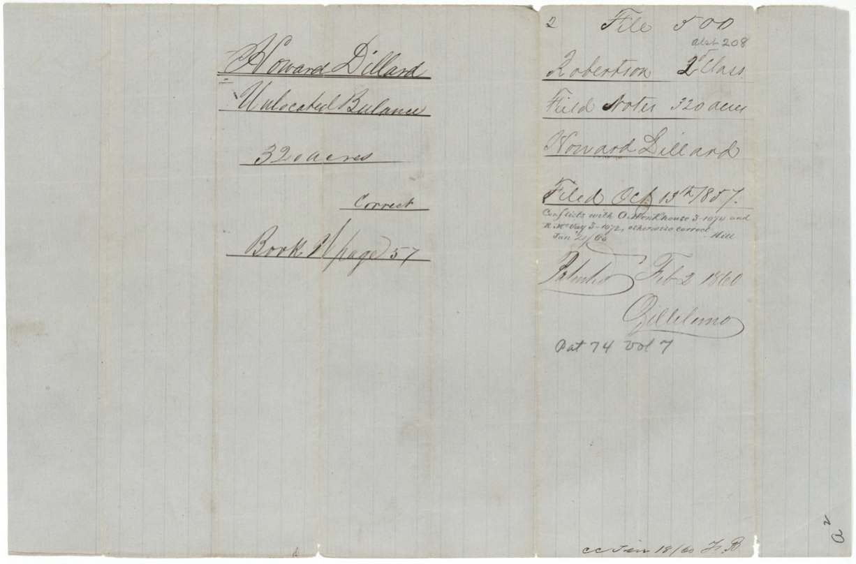
- 02 Feb 1860 · No. 74, Vol. 7
Tap a survey to open its page.
What the file shows
Howard Dillard received an unconditional 1,280-acre second-class headright from the Harrison County board on 1 August 1842; after part was used elsewhere, the Land Office issued him an unlocated-balance certificate for the remaining 640 acres in November 1853. In August 1857 Deputy Surveyor Isaac Walker laid this out as two 320-acre tracts west of Corsicana — one on Chambers Creek about 13 miles out, the other 12½ miles out beside the John Lee, James Hair and W. J. Moore surveys. Both overlapped claims already on the map (Hinkhouse, McVay, Evers), but those claims were ruled forfeited, and both tracts were patented to Dillard as original grantee on 2 February 1860.
The certificate
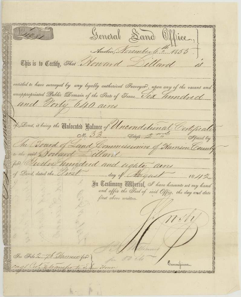
headright 2nd class (GLO unlocated-balance certificate), No. Unlocated Balance No. 1/4281; drawn from Unconditional Certificate No. 33, 2nd class, 640 (balance of an original 1,280-acre certificate), General Land Office — S. Crosby, Commissioner (clerk's signature J. H. Williams(?), 'for 50 cts'); original certificate by the Board of Land Commissioners of Harrison County, Austin (balance certificate); Harrison County (original), 1853-11-06 (balance certificate); original dated 1842-08-01.
Unlocated balance of a 1,280-acre unconditional second-class headright issued to Howard Dillard by the Harrison County board. The file does not restate arrival date or marital status — the original is in Harrison 2nd class file 76.
The survey
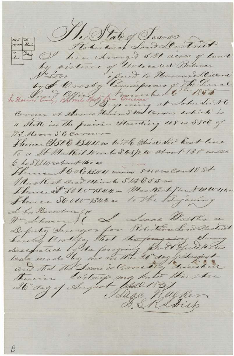
1857-08-21 (written as '1837'; certified 27 August); the year is 1857 by context, Isaac Walker.
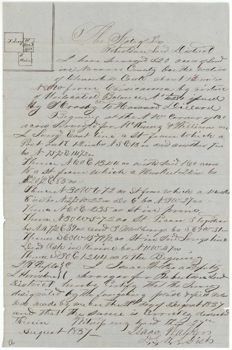
Navarro County on the waters of Chambers Creek about 13 (red correction) miles N 80 W from Corsicana; 320 acres (Abstract 208)
Chain carriers: J. R. Peeples(?), L.(?) Herndon.
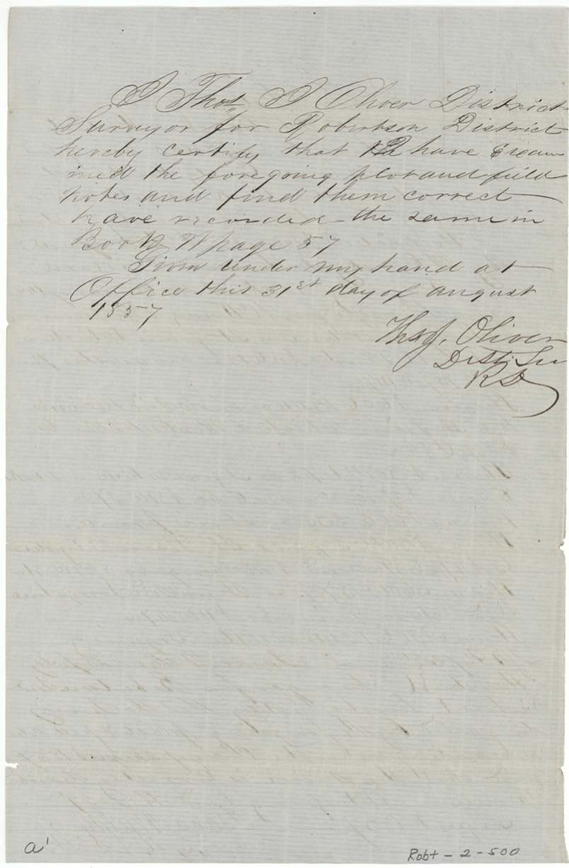
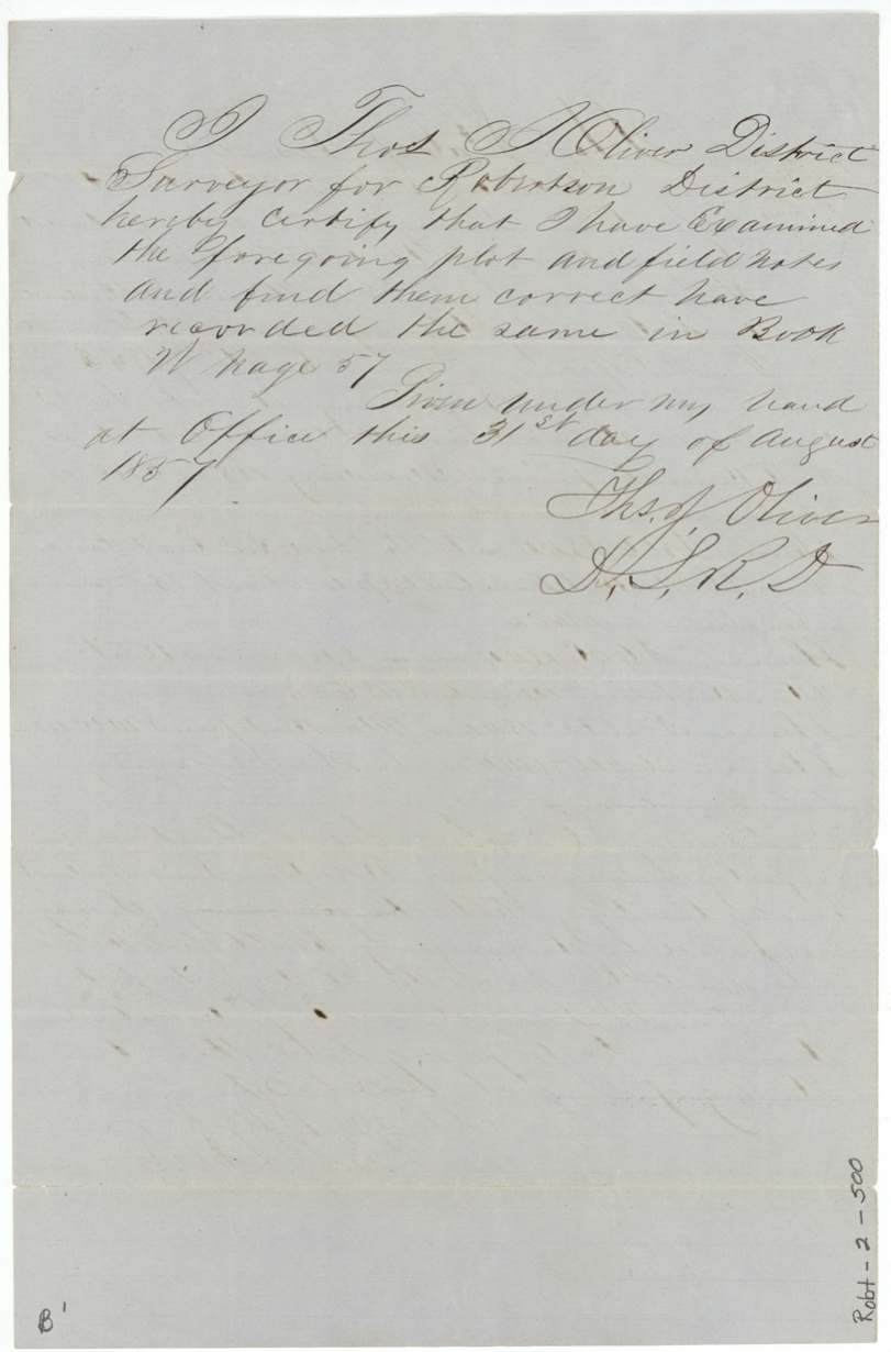
Book W, page 57
The survey
1857-08-20 (written as '1837'; certified 26 August), Isaac Walker.
Navarro County, 12½ miles west from Corsicana (red note in a later hand); 320 acres (Abstract 207)
Chain carriers: John Herndon, Wm. Johnson.
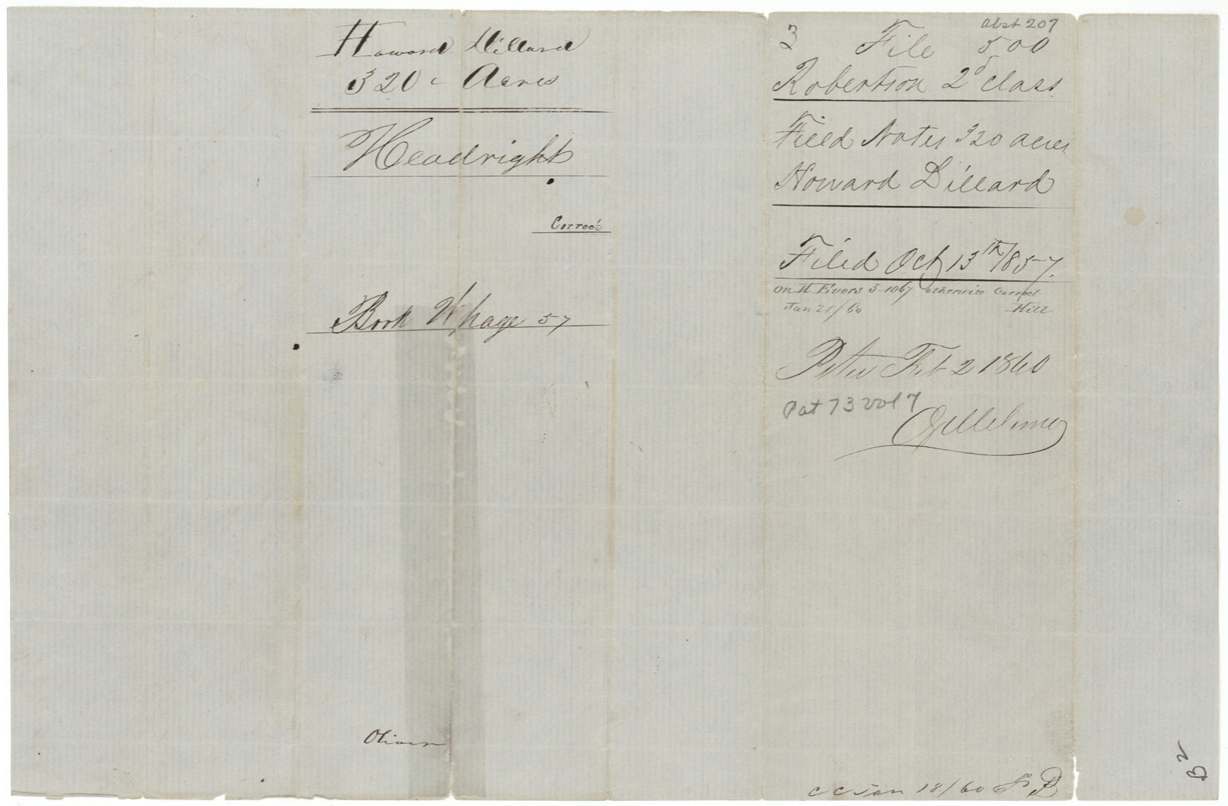
Book W, page 57
The patent
2 Feb 1860, No. 73 and No. 74, Vol. 7 (one patent per survey), to Howard Dillard, the original grantee, delivered to unclear — wrapper reverse 'July 21/75 ... Bacon(?)' (faded).
Also in the file
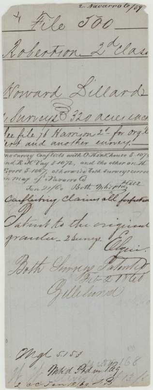
- Both 1857 surveys overlapped claims already on the Navarro map (O. Hinkhouse, R. McVay, H. Evers); the Land Office ruled those conflicting claims 'all forfeited' and patented to Dillard.
- The surveyor wrote the survey year as '1837' though the certificate he was using was not issued until 1853 — a slip of the pen for 1857.
- Howard Dillard's original 1842 Harrison County certificate and a transfer to someone named House(?) are in a different file (Harrison 2nd class 76), so this file shows only the leftover 640 acres.
- Although a transfer is mentioned, the patents went to Dillard himself as original grantee.
Timeline
- 1 Aug 1842Harrison County board issues unconditional 2nd-class certificate No. 33 for 1,280 acres to Howard Dillard
- 6 Nov 1853GLO issues unlocated-balance certificate No. 4281 for the remaining 640 acres
- 20 Aug 1857Isaac Walker surveys 320 acres 12½ miles west of Corsicana (Abst 207)
- 21 Aug 1857Walker surveys 320 acres on Chambers Creek about 13 miles N80W of Corsicana (Abst 208)
- 31 Aug 1857District Surveyor Thos. J. Oliver records both in Book W p. 57
- 13 Oct 1857Papers filed in the General Land Office
- 21 Jan 1860Map check finds conflicts with Hinkhouse, McVay and Evers claims
- 2 Feb 1860Both surveys patented to Howard Dillard (Nos. 73-74, Vol. 7) after conflicting claims ruled forfeited
The papers in the file
Every page of the Land Office file, in the order the Land Office keeps them (11 pages). Tap a page to see it larger.
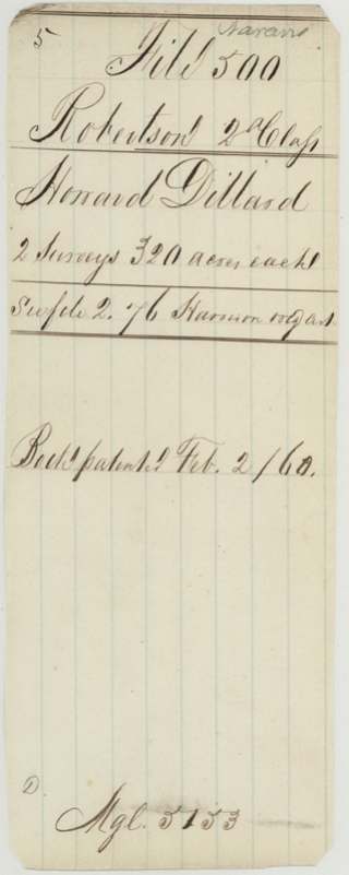
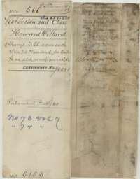 File jacketFile jacket for Howard Dillard's headright, two surveys of 320 acres each, noting the patents of February 1860.General Land Office, file 500, page 1 · in the scan
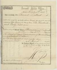 CertificateGeneral Land Office certificate of 6 November 1853 for the unlocated balance of 640 acres of Howard Dillard's headright, signed by Commissioner Crosby.General Land Office, file 500, page 2 · in the scan
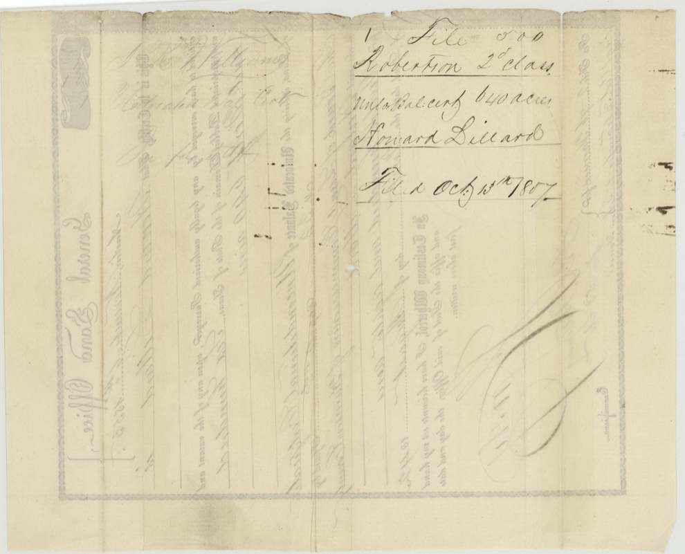
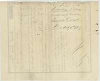 Back of the certificateBack of the balance certificate, with the Robertson 2nd Class file docket, filed 13 October 1857.General Land Office, file 500, page 3 · in the scan
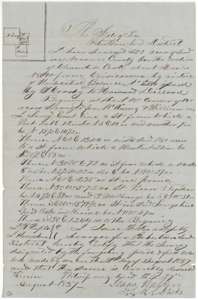 Field notesField notes and plat of 320 acres for Howard Dillard on Chambers Creek, west of Corsicana, surveyed by deputy surveyor Isaac Walker in August 1857.General Land Office, file 500, page 4 · in the scan
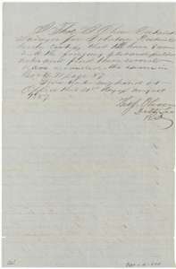 Surveyor's certificateCertificate of District Surveyor Thos. J. Oliver, August 1857, that he examined the first Dillard survey and recorded it in Book W, page 57.General Land Office, file 500, page 5 · in the scan
 WrapperDocket wrapper for the first set of Dillard field notes, 320 acres, filed 13 October 1857 and marked patented.General Land Office, file 500, page 6 · in the scan
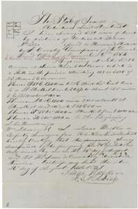 Field notesField notes and plat of a second 320 acres for Howard Dillard, west of Corsicana, surveyed by deputy surveyor Isaac Walker in August 1857.General Land Office, file 500, page 7 · in the scan
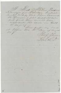 Surveyor's certificateCertificate of District Surveyor Thos. J. Oliver, August 1857, that the second Dillard survey is correct and recorded in Book W, page 57.General Land Office, file 500, page 8 · in the scan
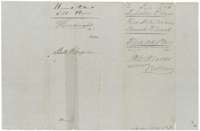 WrapperDocket wrapper for the second set of Dillard field notes, 320 acres, filed 13 October 1857 and marked patented.General Land Office, file 500, page 9 · in the scan
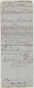 WrapperOld wrapper for the Dillard file, with map-check notes on conflicting claims and the ruling that the patent go to the original grantee.General Land Office, file 500, page 10 · in the scan
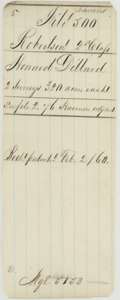 WrapperOld wrapper for the Dillard file, noting two surveys of 320 acres each patented on 2 February 1860.General Land Office, file 500, page 11 · in the scan
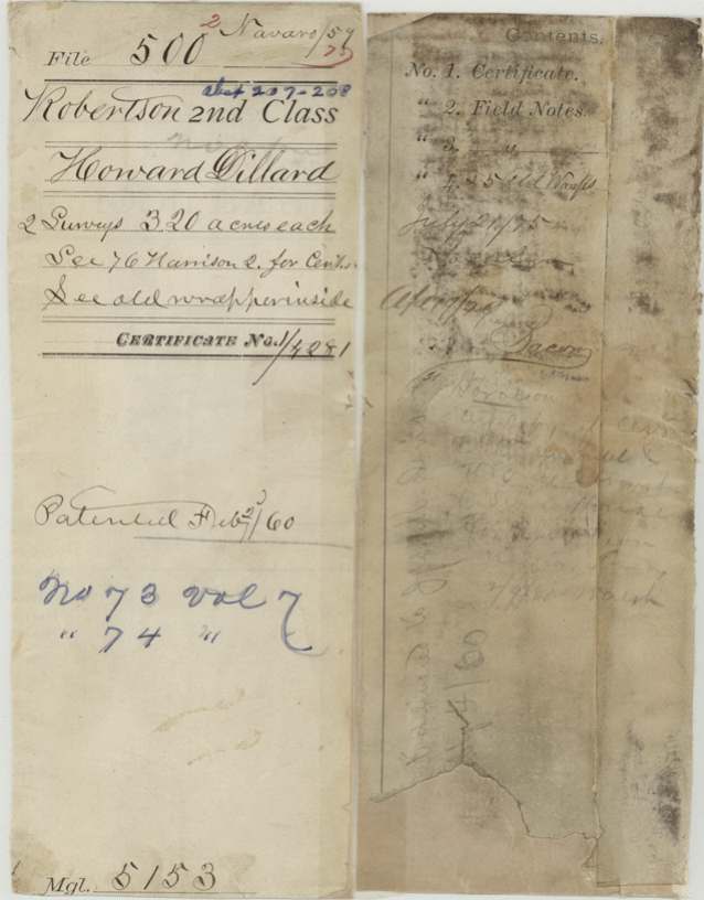
Scans courtesy of the Texas General Land Office, Austin, from its Land Grant Database.
Neighbouring surveys
Sources
- Texas General Land Office, Land Grant Database: Navarro County, Abstract 208
- The Land Office file, scanned (PDF, at the General Land Office)
- 1924 map: courtesy of the Texas General Land Office, Austin, Map 73249, used under licence. Topo: U.S. Geological Survey, The National Map. Aerial photographs: U.S. Department of Agriculture, National Agriculture Imagery Program, 2012, 2018 and 2022. Survey outlines: Railroad Commission of Texas, Original Texas Land Survey. Grant records and files: Texas General Land Office.