Blackland TX · ← All the original surveys
James Huie Survey, Abstract 417
- Granted to
- James Huie
- Kind of grant
- Land scripLand bought from the Republic with scrip.
- Land Office file
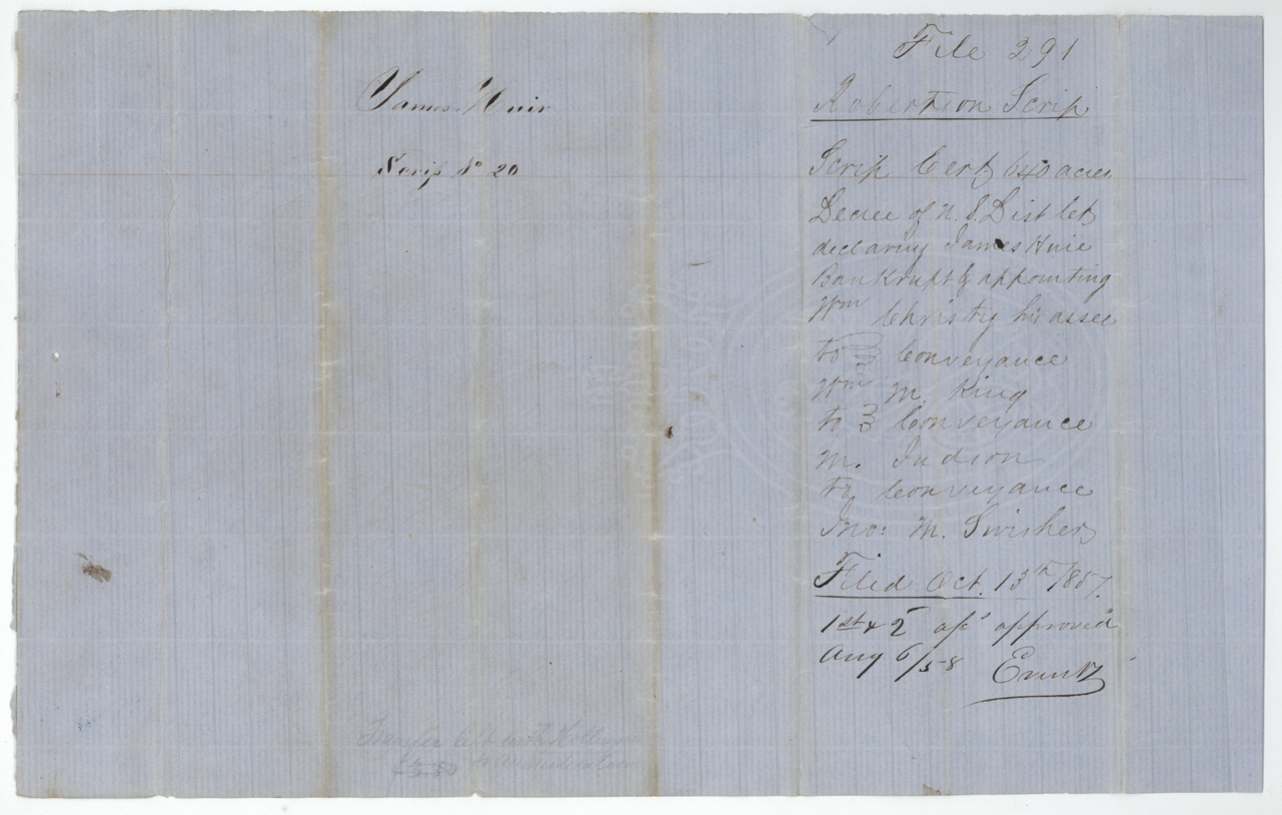
- Robertson Scrip, file 291
- Certificate
- No. 20
- Acres
- 640
- Patented to
- W. W. Oliver
- Patent
- 04 Feb 1860 · No. 397, Vol. 4
Tap a survey to open its page.
What the file shows
James Huie received Republic of Texas land scrip No. 20 for 640 acres at Houston on 25 Feb 1838 under the 1837 act for the relief of James Erwin and others. Huie was declared bankrupt in New Orleans in 1842, and his assignee William Christy sold the scrip to William W. King, who passed it to M. Judson (1856), then to John M. Swisher of Austin (Jan 1857), who sold it with scrip No. 18 to Benjamin R. Tyus, who sold both to William W. Oliver of Limestone County on 27 Feb 1857. Deputy Surveyor Isaac Walker located it on 21 Aug 1857 on the waters of Chambers Creek about 13 miles west of Corsicana, and District Surveyor Thos. J. Oliver approved the survey. After a map conflict with A. King's forfeited survey S. 1057 was cleared, the patent issued to W. W. Oliver, assignee, on 31 Jan 1860 (No. 397, Vol. 4).
The certificate
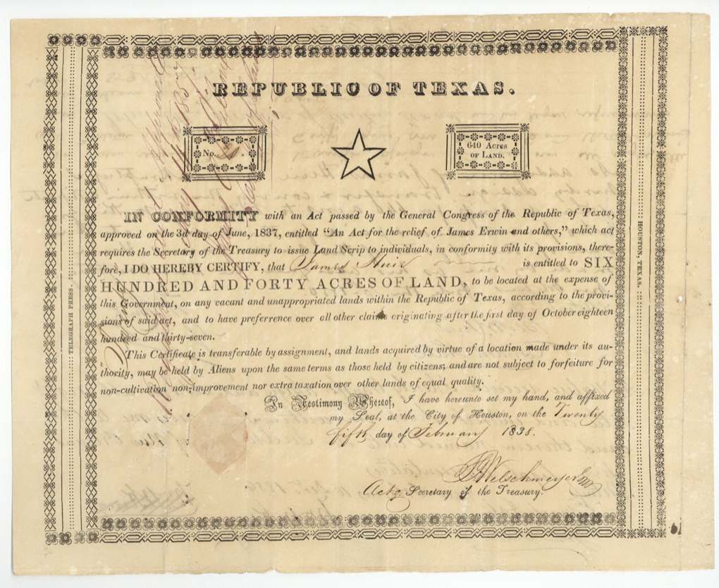
scrip, No. Scrip No. 20, 640 acres, J. G. Welchmeyer, Acting Secretary of the Treasury, Republic of Texas, City of Houston, 25 Feb 1838.
Land scrip under the Act of the General Congress approved 3 June 1837 'An Act for the relief of James Erwin and others', which required the Secretary of the Treasury to issue land scrip to individuals; entitles James Huie to 640 acres, located at Government expense on any vacant land, with preference over claims originating after 1 Oct 1837; transferable by assignment, may be held by aliens, not forfeitable for non-cultivation
Changes of hand
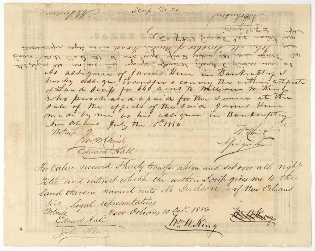
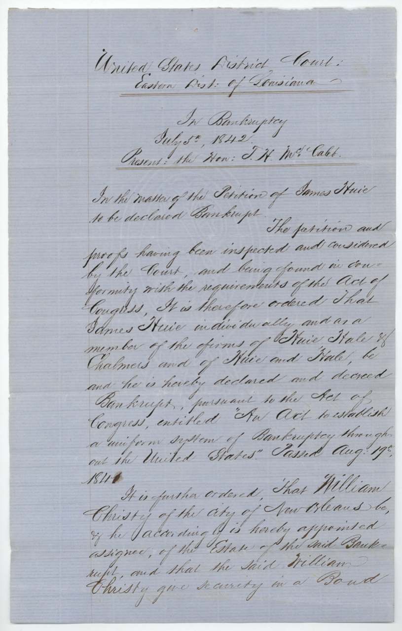
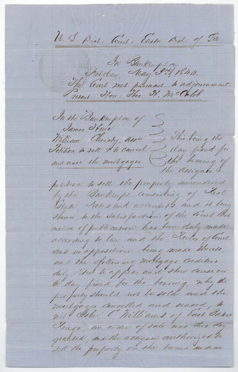
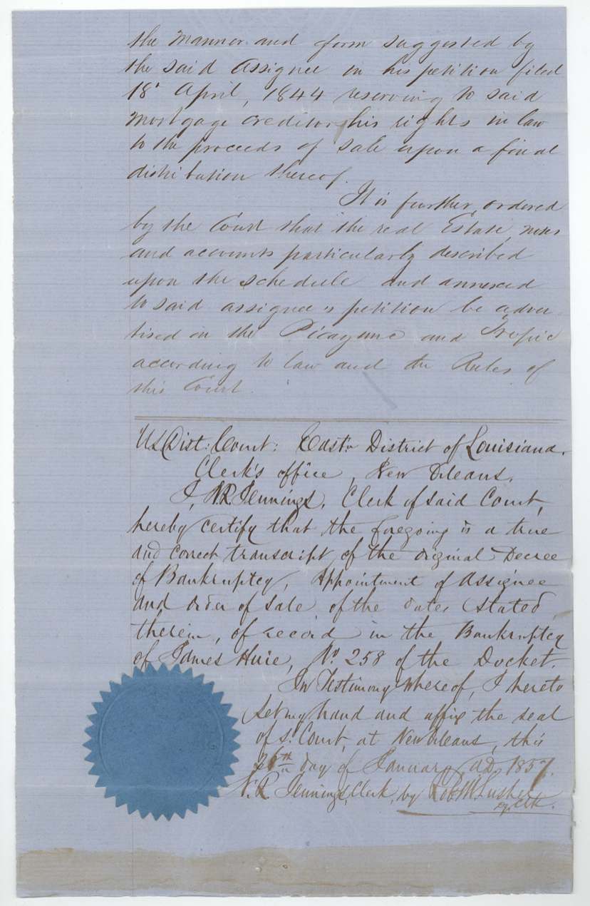
- 15 Jul 1850James Huie (bankrupt), via William Christy, assignee in bankruptcy → William W. King, not stated (King 'purchased and paid for the same at the sale of the effects of the said James Huie'), New Orleans, Louisiana. Huie declared bankrupt 5 Jul 1842 by U.S. District Court, Eastern District of Louisiana (Judge Theo. H. McCaleb), individually and as member of the firms Huie, Hale & Chalmers and Huie and Hale; Christy appointed assignee (bond $10,000); order of sale 3 May 1844 (petition filed 18 Apr 1844), advertised in the Picayune and Tropic; mortgage creditor John C. Williams of East Baton Rouge cited; Docket No. 258
- 16 Dec 1856Wm. W. King → M. Judson, of New Orleans, 'for value received', New Orleans. Endorsed on the scrip; a first King signature struck through beside it
- 24 Jan 1857M. Judson → John M. Swisher, of Austin, Texas, 'for value received', New Orleans. Endorsed upside-down at head of scrip
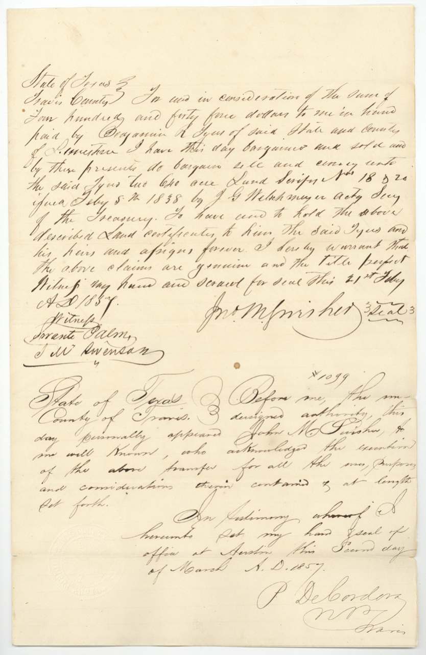
- 21 Feb 1857Jno. M. Swisher → Benjamin R. Tyus, of Limestone County, $445 for two 640-acre scrips, Nos. 18 and 20, Travis County, Texas. Swisher warrants the claims genuine and title perfect; jacket pencil 'To be authenticated'
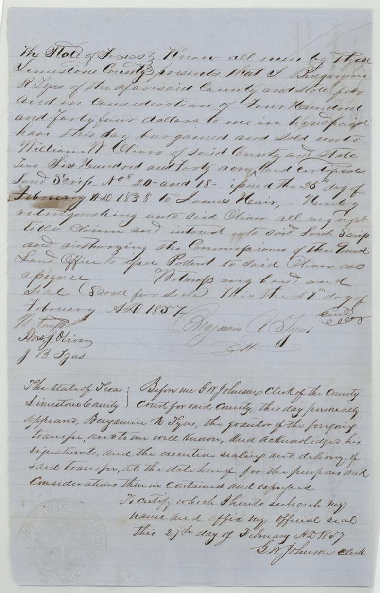
- 27 Feb 1857Benjamin R. Tyus, of Limestone County → William W. Oliver, of Limestone County, $444 for scrips Nos. 20 and 18, Limestone County, Texas. Authorises GLO Commissioner to issue patent to Oliver as assignee
The survey
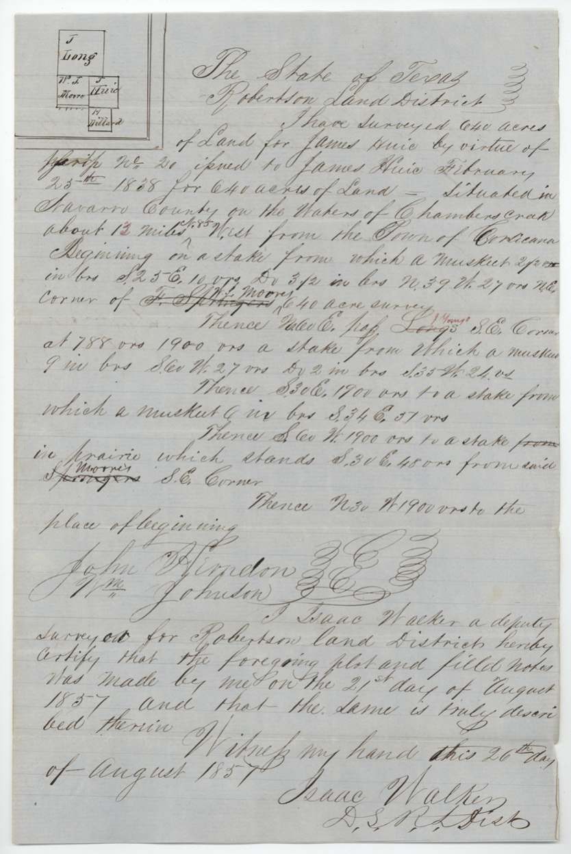
1857-08-21 (certified 26 Aug 1857), Isaac Walker.
640 acres 'situated in Navarro County on the waters of Chambers creek about 13 miles S85W [interlined] West from the Town of Corsicana'; begins at a stake (mesquite bearing trees) at NE corner of W. T. Moore's 640-acre survey (F. Springer struck out); N60E passing J. Young's(?) SE corner (Long's struck) at 788 vrs, 1900 vrs; S30E 1900 vrs; S60W 1900 vrs to stake in prairie S30E 48 vrs from Moore's SE corner; N30W 1900 vrs to beginning
Chain carriers: John Herndon, Wm. Johnson.
Book P, page 113
The patent
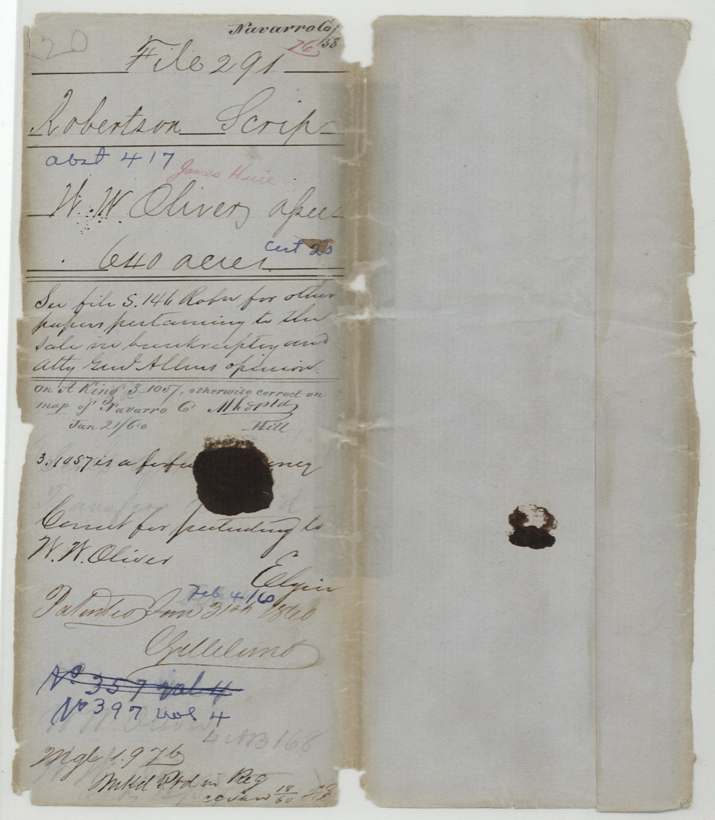
31 Jan 1860, No. 397, Vol. 4 (No. 357 Vol. 4 struck), to W. W. Oliver, assignee.
Also in the file
- Survey conflicted with A. King's survey S. 1057 on the county map; S. 1057 noted as forfeited, so patent allowed
- Thos. J. Oliver witnessed the sale of the scrip to William W. Oliver and then, as District Surveyor, examined and approved the survey made for it
- The scrip passed through a federal bankruptcy in Louisiana before reaching Texas land; additional papers and an Attorney General's opinion are in file S. 146 Robertson
- Swisher deed dates scrip 5 Feb 1838; scrip says 25 Feb 1838
- Tyus paid $445 for two scrips and sold them six days later for $444
- Patent number corrected from 357 to 397
Timeline
- 3 Jun 1837Act for the relief of James Erwin and others
- 25 Feb 1838Scrip No. 20 for 640 acres issued to James Huie at Houston
- 5 Jul 1842James Huie declared bankrupt in New Orleans; William Christy appointed assignee
- 3 May 1844Court orders sale of bankrupt's property
- 15 Jul 1850Christy assigns scrip to William W. King, buyer at the bankruptcy sale
- 16 Dec 1856King assigns to M. Judson of New Orleans
- 24 Jan 1857Judson assigns to John M. Swisher of Austin
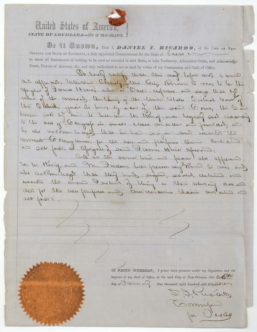
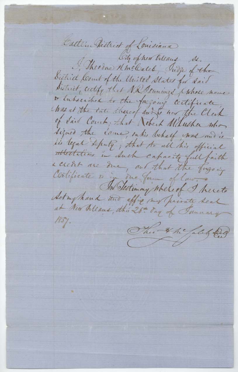
- 26 Jan 1857Court transcripts certified and acknowledgments taken in New Orleans
- 21 Feb 1857Swisher sells scrips 18 and 20 to Benjamin R. Tyus for $445
- 27 Feb 1857Tyus sells both to William W. Oliver for $444
- 21 Aug 1857Isaac Walker surveys 640 acres on Chambers Creek
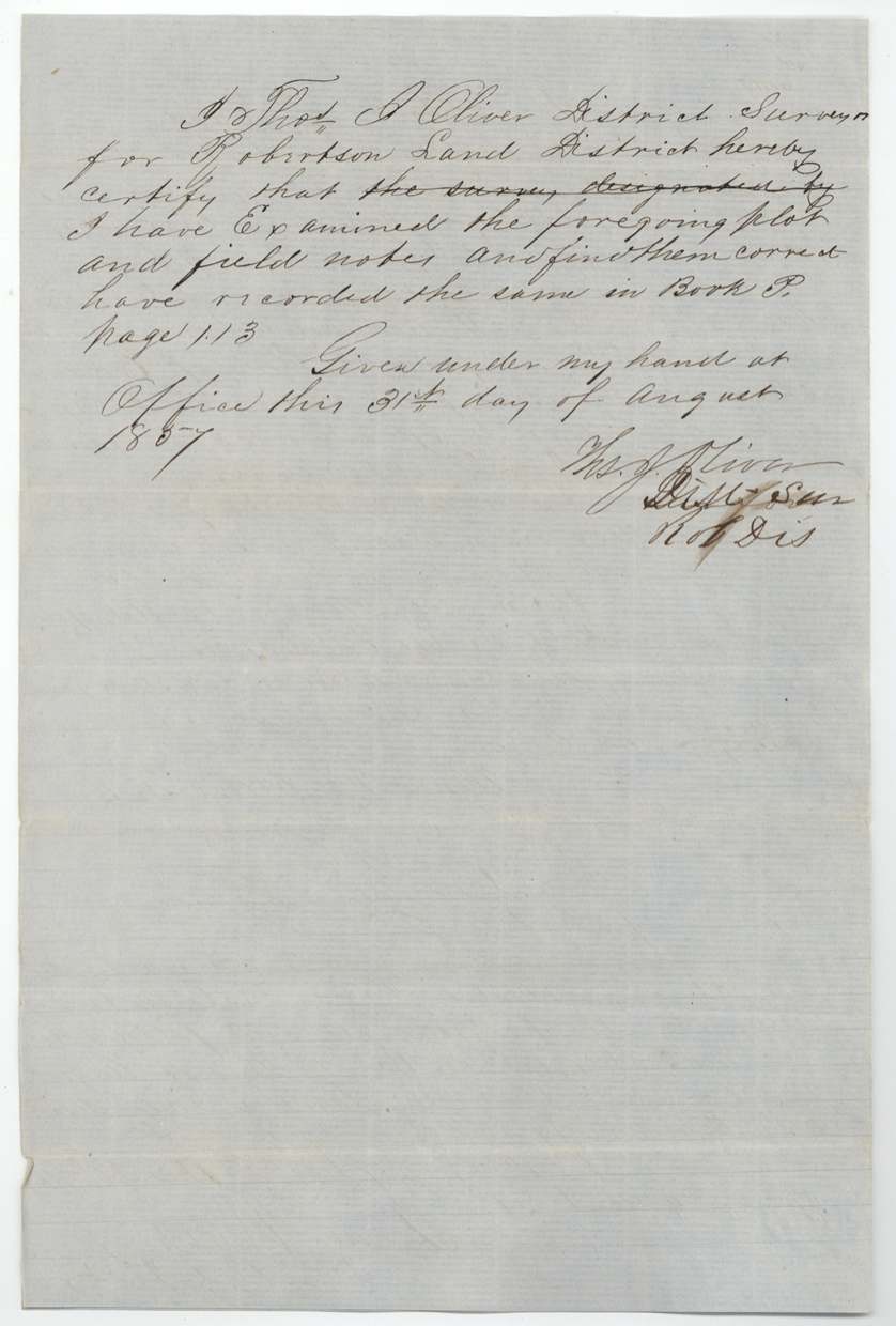
- 31 Aug 1857District Surveyor Thos. J. Oliver approves; Book P p. 113
- 13 Oct 1857Papers filed in GLO
- 6 Aug 18581st and 2nd assignments approved
- 21 Jan 1860Checked on Navarro map; conflict with A. King S. 1057 noted
- 31 Jan 1860Patent No. 397 Vol. 4 to W. W. Oliver
The papers in the file
Every page of the Land Office file, in the order the Land Office keeps them (17 pages). Tap a page to see it larger.
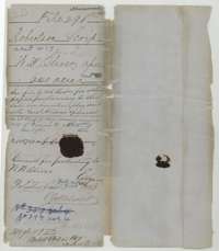 File jacketFile jacket for Robertson Scrip No. 20 of James Huie, assigned to W. W. Oliver, with filing and patent notes of 1860.General Land Office, file 291, page 1 · in the scan
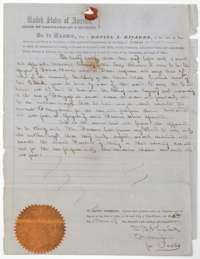 CertificateNew Orleans commissioner Daniel I. Ricardo's certificate of 26 January 1857 that the assignments of the Huie scrip were acknowledged before him.General Land Office, file 291, page 2 · in the scan
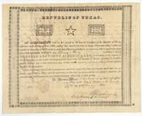 CertificateRepublic of Texas land scrip No. 20 issued at Houston on 25 February 1838, entitling James Huie to 640 acres.General Land Office, file 291, page 3 · in the scan
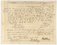 Back of the certificateBack of the scrip, with the assignments from James Huie's bankruptcy assignee William Christy to William W. King in 1850 and King to M. Judson in 1856.General Land Office, file 291, page 4 · in the scan
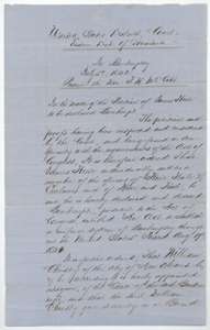 Other papersCopy of the 5 July 1842 order of the U.S. District Court in Louisiana declaring James Huie bankrupt and naming William Christy assignee.General Land Office, file 291, page 5 · in the scan
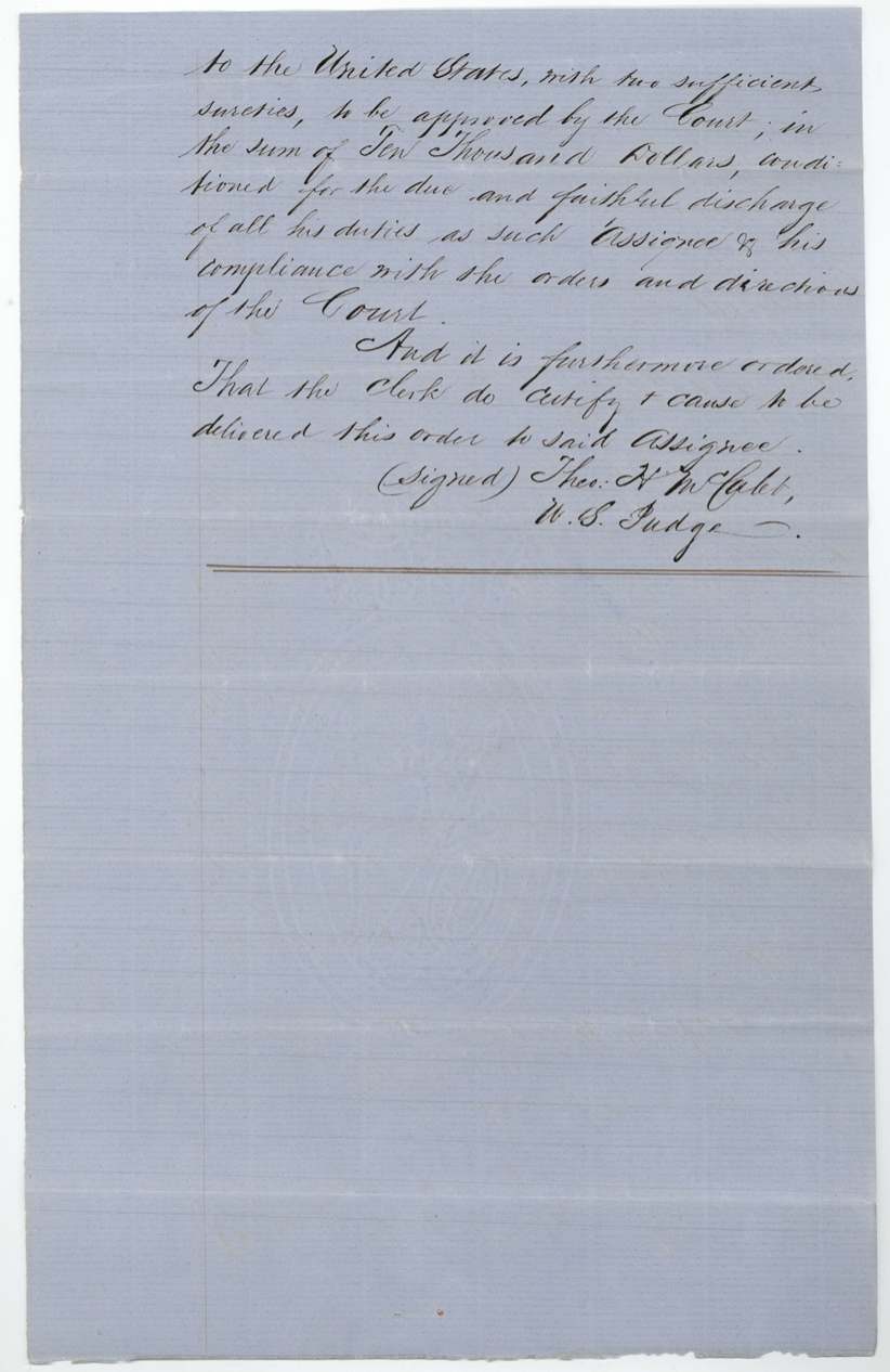
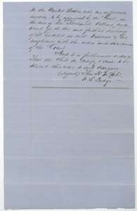 Other papersContinuation of the 1842 bankruptcy order, setting the assignee's bond and ordering the order to be certified.General Land Office, file 291, page 6 · in the scan
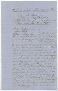 Other papersCopy of the 3 May 1844 court order allowing the bankrupt James Huie's property to be sold and a mortgage cancelled.General Land Office, file 291, page 7 · in the scan
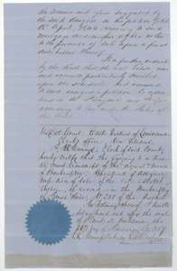 Other papersEnd of the 1844 order, with the New Orleans court clerk's certificate and seal of 26 January 1857.General Land Office, file 291, page 8 · in the scan
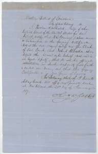 CertificateNew Orleans federal judge's certificate of 26 January 1857 that the court clerk's signature on the bankruptcy papers is genuine.General Land Office, file 291, page 9 · in the scan
 WrapperFiling wrapper for the New Orleans court papers and the assignments of the Huie scrip, filed 13 October 1857.General Land Office, file 291, page 10 · in the scan
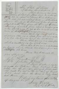 Field notesField notes of 640 acres on Chambers Creek surveyed for James Huie's scrip by deputy surveyor Isaac Walker, 21 August 1857.General Land Office, file 291, page 11 · in the scan
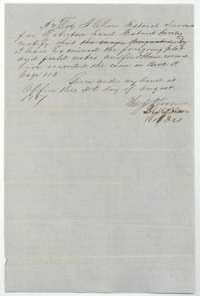 Surveyor's certificateDistrict Surveyor Thos. J. Oliver's certificate of 31 August 1857 that he examined the Huie field notes and recorded them in Book P.General Land Office, file 291, page 12 · in the scan
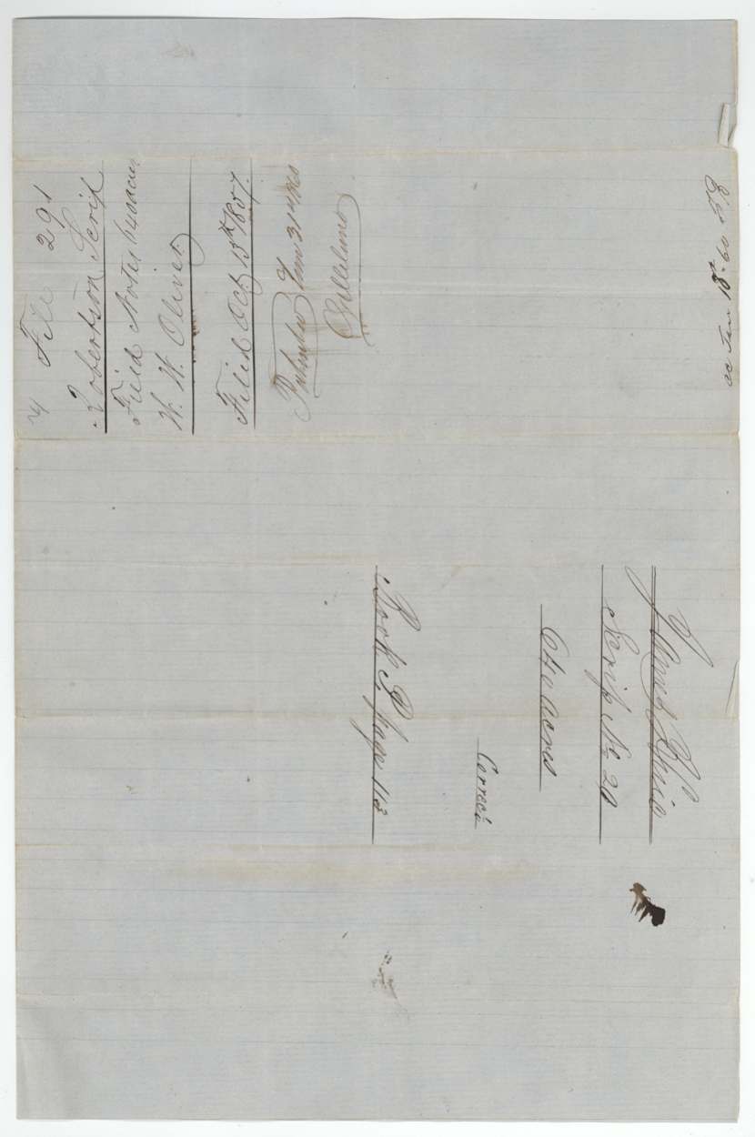
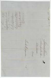 WrapperWrapper for the field notes of the James Huie survey, filed 13 October 1857.General Land Office, file 291, page 13 · in the scan
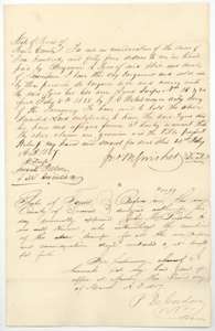 TransferDeed of 21 February 1857 in which John M. Swisher sold Scrip Nos. 18 and 20 to Benjamin R. Tyus, acknowledged at Austin.General Land Office, file 291, page 14 · in the scan
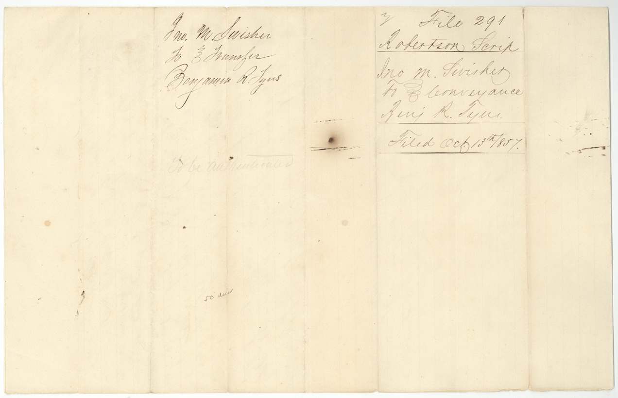
 WrapperWrapper for the Swisher to Tyus deed, filed 13 October 1857.General Land Office, file 291, page 15 · in the scan
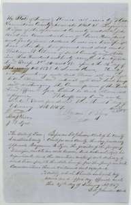 TransferDeed of 27 February 1857 in which Benjamin R. Tyus sold the two scrips to William W. Oliver, acknowledged in Limestone County.General Land Office, file 291, page 16 · in the scan
 WrapperWrapper for the Tyus to Oliver transfer, filed 13 October 1857.General Land Office, file 291, page 17 · in the scan
Scans courtesy of the Texas General Land Office, Austin, from its Land Grant Database.
Neighbouring surveys
Sources
- Texas General Land Office, Land Grant Database: Navarro County, Abstract 417
- The Land Office file, scanned (PDF, at the General Land Office)
- 1924 map: courtesy of the Texas General Land Office, Austin, Map 73249, used under licence. Topo: U.S. Geological Survey, The National Map. Aerial photographs: U.S. Department of Agriculture, National Agriculture Imagery Program, 2012, 2018 and 2022. Survey outlines: Railroad Commission of Texas, Original Texas Land Survey. Grant records and files: Texas General Land Office.