Blackland TX · ← All the original surveys
McKinney & Williams Survey, Abstract 604
- Granted to
- McKinney & Williams
- Kind of grant
- Land scripLand bought from the Republic with scrip.
- Land Office file
- Robertson Scrip, file 285
- Certificate
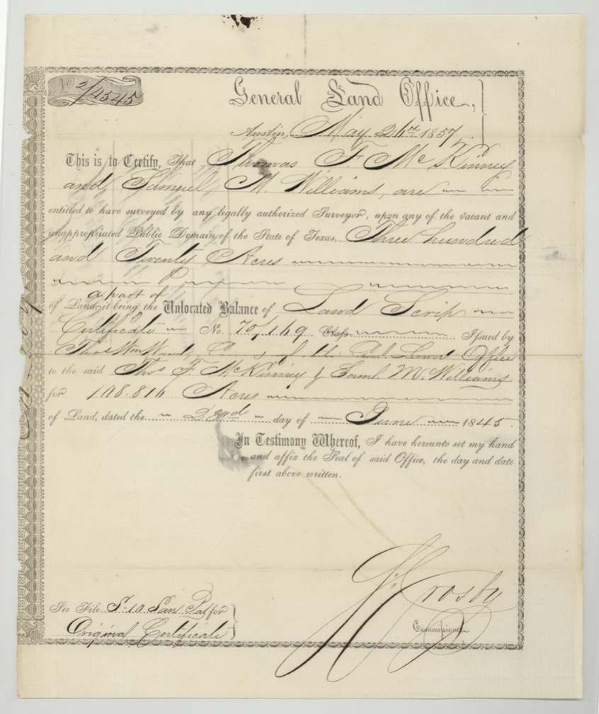
- No. 2/4545
- Acres
- 160
- Patented to
- W. W. Oliver
- Patent
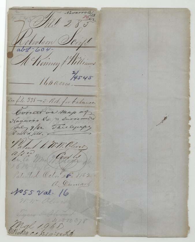
- 28 Oct 1862 · No. 55, Vol. 16
Tap a survey to open its page.
What the file shows
In 1845 the Republic's Land Office issued Thomas F. McKinney and Samuel M. Williams a land-scrip certificate for 108,816 acres, and on May 26, 1857 the Land Office issued a 320-acre certificate (No. 2/4545) for part of its unlocated balance. Three days later their attorney S. M. Swenson sold that certificate at Austin to William W. Oliver for $128. Deputy surveyor Isaac Walker located 160 acres of it on August 21, 1857, on the waters of Chambers Creek about 13 miles west of Corsicana, and District Surveyor Thos. J. Oliver recorded it in Book P, page 114. The patent issued to W. W. Oliver as assignee on October 28, 1862 (No. 55, Vol. 16).
The certificate
scrip (unlocated-balance certificate of land scrip), No. 2/4545 (balance of Land Scrip Certificate No. 70/149), 320 on this balance certificate; 160 used in this survey (balance located elsewhere — 'see file 338 S-Rob. for balance'), J. (?) Crosby, Commissioner of the General Land Office, Austin, 26 May 1857.
Part of the unlocated balance of Land Scrip Certificate No. 70/149, issued by Thos. Wm. Ward, Commissioner of the General Land Office, to Thos. F. McKinney and Saml. M. Williams for 108,816 acres, dated 23 June 1845
Changes of hand
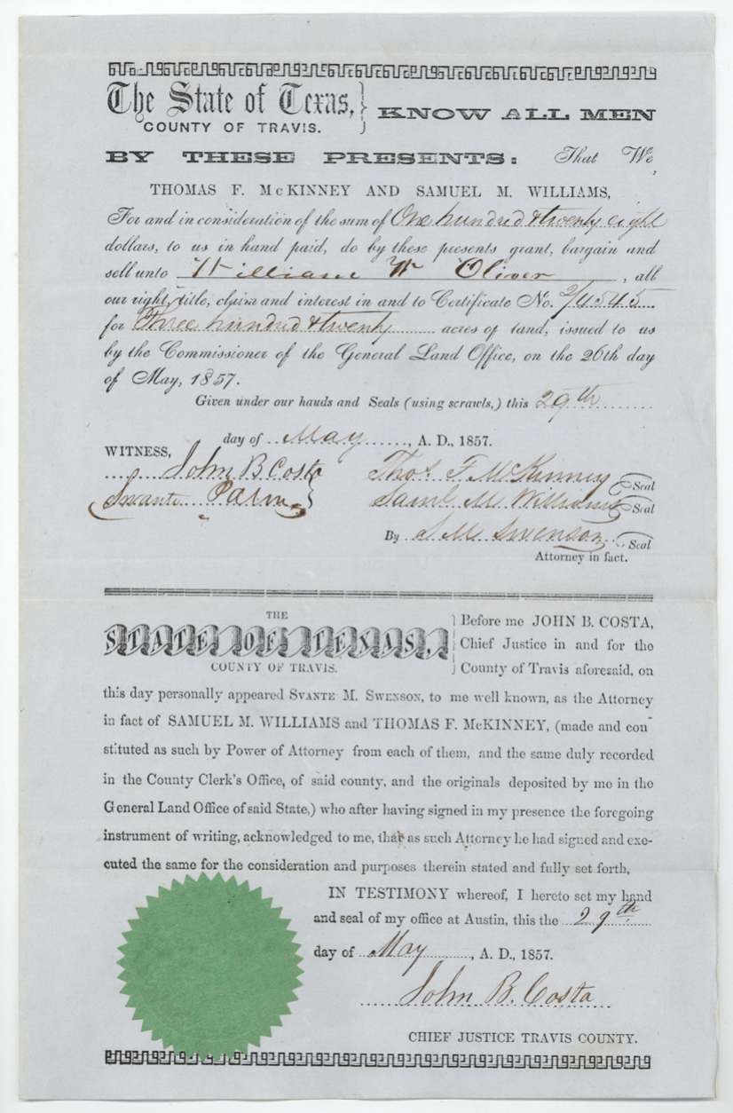
- 29 May 1857Thomas F. McKinney and Samuel M. Williams, by their attorney in fact S. M. Swenson → William W. Oliver, $128, Austin, Travis County. Printed conveyance form; sells all right in certificate No. 2/4545 for 320 acres issued 26 May 1857 — three days after issue. Swenson's powers of attorney recorded in Travis County and deposited in the GLO. Filed GLO Oct 21, 1857.
The survey
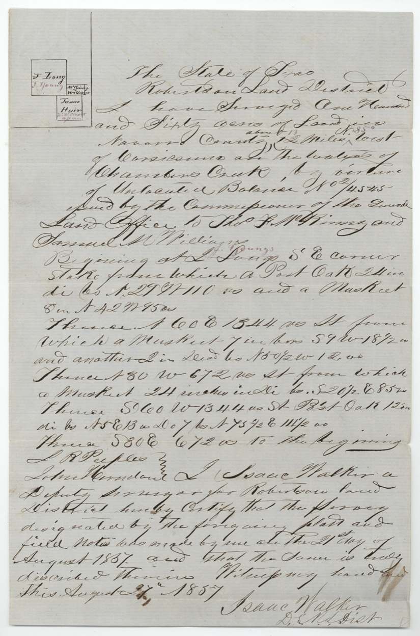
1857-08-21 (certified 1857-08-27), Isaac Walker, Deputy Surveyor, Robertson Land District.
Navarro County, about 13 miles N 85 W of Corsicana, on the waters of Chambers Creek (distance first written 12, bearing added in red)
Chain carriers: L. R. Peeples(?), John Herndon.
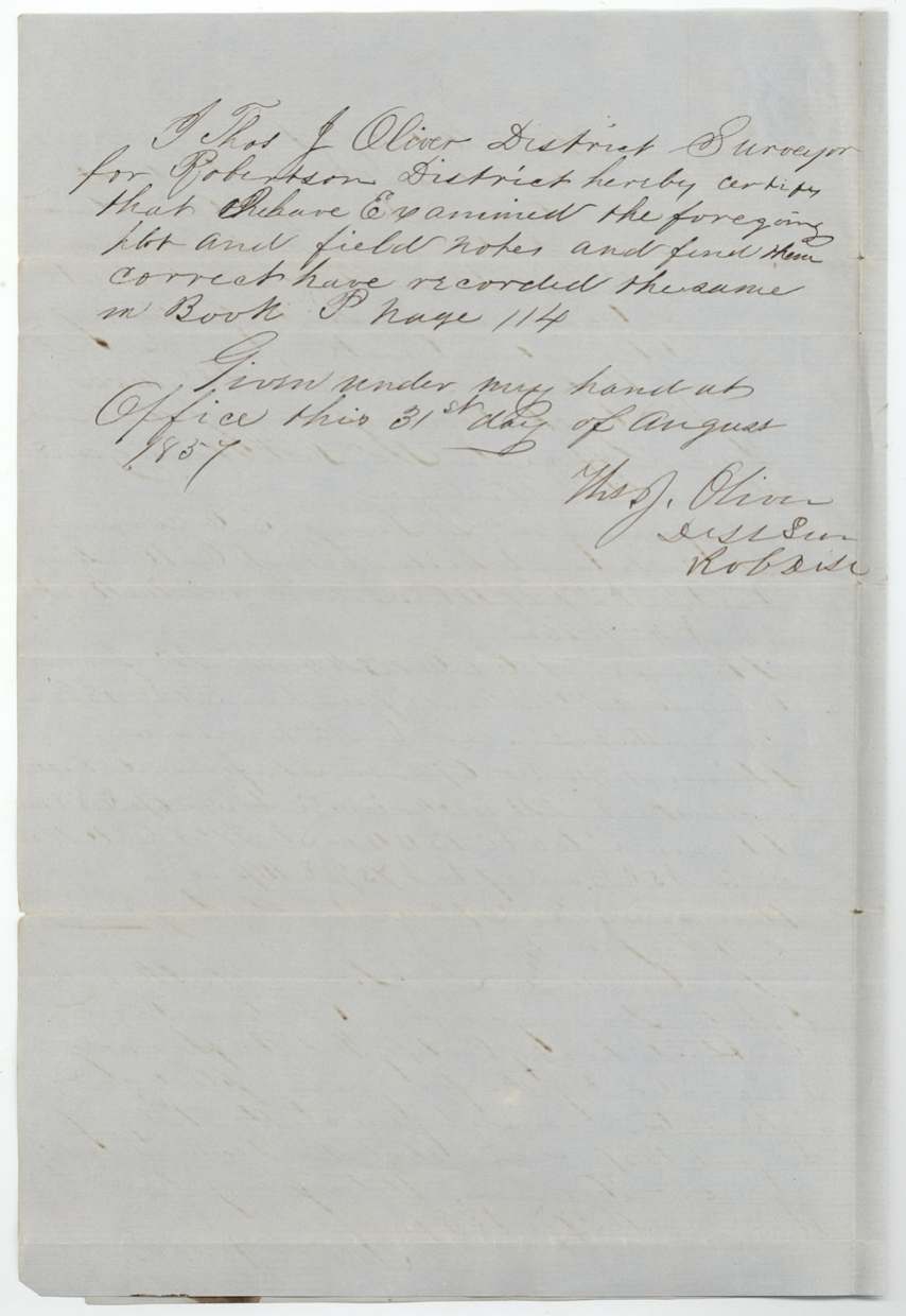
Book P, page 114
The patent
28 Oct 1862, No. 55, Vol. 16, to W. W. Oliver, assignee, delivered to Wm. W. Oliver (faint pencil 'Pr. to Wm. W. Oliver ...'); a struck entry 'Tyus & Oliver' below.
Also in the file
- This 160 acres traces back to a single 1845 scrip certificate for 108,816 acres issued to the merchant firm McKinney & Williams — the Republic paid its debts to them in land.
- The firm's attorney, S. M. Swenson, sold this 320-acre balance certificate for $128 (40 cents an acre) three days after the Land Office issued it.
- The survey's first call was written 'L. Long' and corrected in red ink to 'H. Young' — the neighbouring name was wrong on the original notes.
- The buyer, W. W. Oliver, shares a surname with the Robertson District Surveyor, Thos. J. Oliver, who approved the field notes.
- The patent was not issued until October 1862, five years after the survey, in the middle of the Civil War.
Timeline
- 23 Jun 1845Land Scrip Certificate No. 70/149 for 108,816 acres issued to McKinney & Williams by Commissioner Thos. Wm. Ward
- 26 May 1857GLO issues balance certificate No. 2/4545 for 320 acres
- 29 May 1857McKinney & Williams, by S. M. Swenson, sell the certificate to William W. Oliver for $128 at Austin
- 21 Aug 1857Isaac Walker surveys 160 acres on Chambers Creek, 13 miles W of Corsicana
- 31 Aug 1857Field notes examined and recorded, Book P p. 114
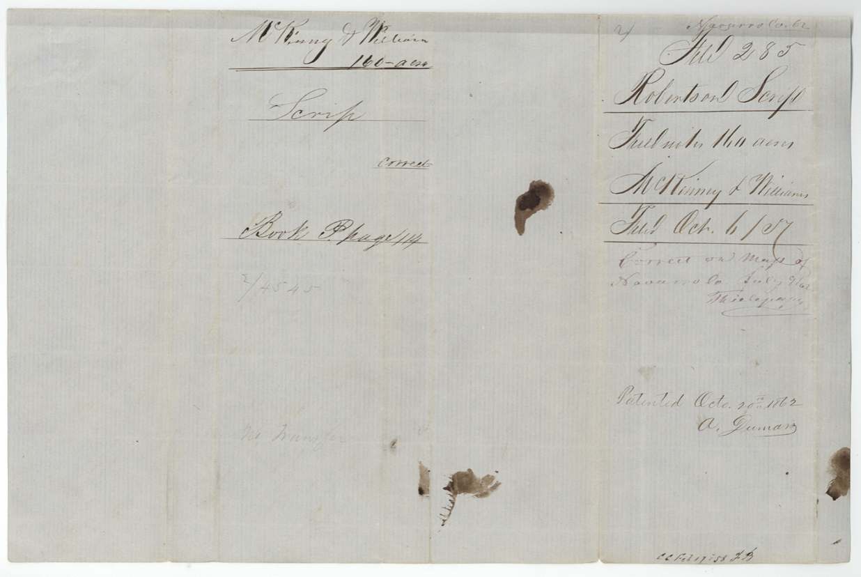
- 6 Oct 1857Certificate and field notes filed in GLO
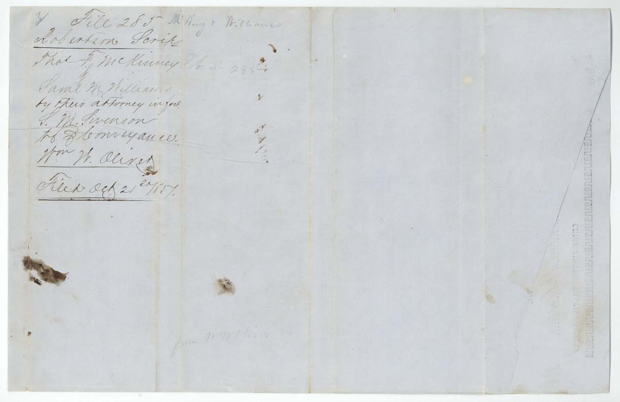
- 21 Oct 1857Conveyance to Oliver filed in GLO
- 9 Jul 1862Checked correct on Navarro map (Thielepape)
- 28 Oct 1862Patent No. 55, Vol. 16 issued to W. W. Oliver, assignee
The papers in the file
Every page of the Land Office file, in the order the Land Office keeps them (8 pages). Tap a page to see it larger.
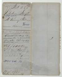 WrapperFile wrapper for the McKinney and Williams 160-acre scrip survey, marked patented to W. W. Oliver as assignee on 28 October 1862.General Land Office, file 285, page 1 · in the scan
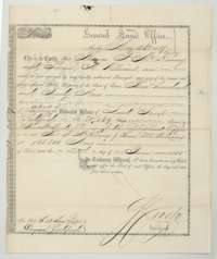 CertificateGeneral Land Office balance certificate No. 2/4545 for 320 acres to Thomas F. McKinney and Samuel M. Williams, issued at Austin, 26 May 1857.General Land Office, file 285, page 2 · in the scan
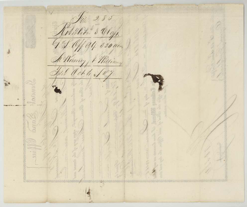
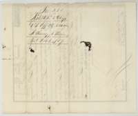 Back of the certificateBack of the certificate, endorsed McKinney and Williams, 320 acres, filed 6 October 1857.General Land Office, file 285, page 3 · in the scan
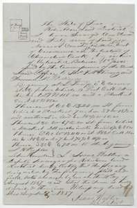 Field notesField notes for 160 acres on the waters of Chambers Creek, surveyed for McKinney and Williams by deputy surveyor Isaac Walker, 21 August 1857.General Land Office, file 285, page 4 · in the scan
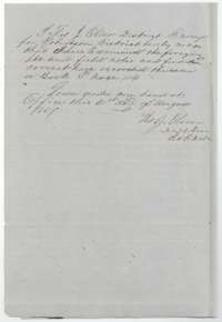 Surveyor's certificateCertificate of district surveyor Thos. J. Oliver, 31 August 1857, that the field notes were examined and recorded in Book P, page 114.General Land Office, file 285, page 5 · in the scan
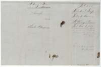 WrapperField-notes jacket for McKinney and Williams, 160 acres, recorded in Book P, page 114, filed 6 October 1857.General Land Office, file 285, page 6 · in the scan
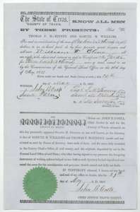 TransferConveyance of 29 May 1857 by Thomas F. McKinney and Samuel M. Williams, through attorney S. M. Swenson, selling the certificate to William W. Oliver for $128.General Land Office, file 285, page 7 · in the scan
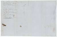 WrapperJacket for the conveyance from McKinney and Williams to William W. Oliver, filed 21 October 1857.General Land Office, file 285, page 8 · in the scan
Scans courtesy of the Texas General Land Office, Austin, from its Land Grant Database.
Neighbouring surveys
Sources
- Texas General Land Office, Land Grant Database: Navarro County, Abstract 604
- The Land Office file, scanned (PDF, at the General Land Office)
- 1924 map: courtesy of the Texas General Land Office, Austin, Map 73249, used under licence. Topo: U.S. Geological Survey, The National Map. Aerial photographs: U.S. Department of Agriculture, National Agriculture Imagery Program, 2012, 2018 and 2022. Survey outlines: Railroad Commission of Texas, Original Texas Land Survey. Grant records and files: Texas General Land Office.