Blackland TX · ← All the original surveys
Joseph Young Survey, Abstract 886
- Granted to
- Joseph Young
- Kind of grant
- Bounty warrantLand paid for service in the army of the Republic.
- Land Office file
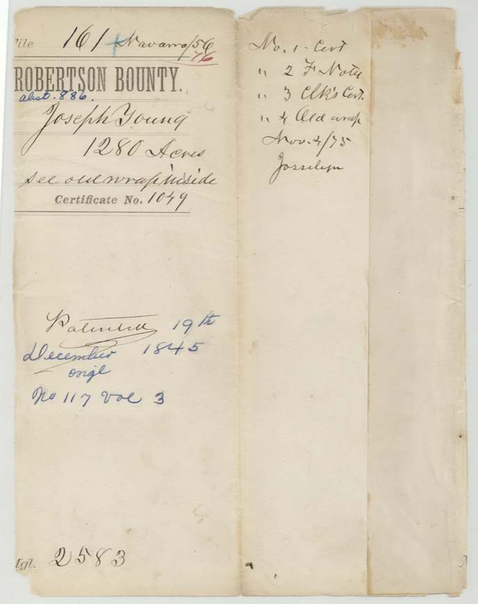
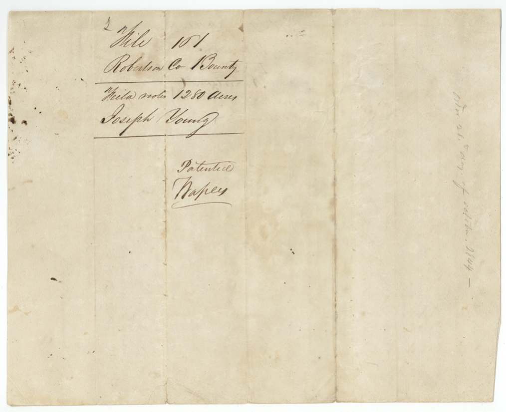
- Robertson Bounty, file 161
- Certificate
- No. 1049
- Acres
- 1280
- Patented to
- Joseph Young
- Patent
- 19 Dec 1845 · No. 117, Vol. 3
Tap a survey to open its page.
What the file shows
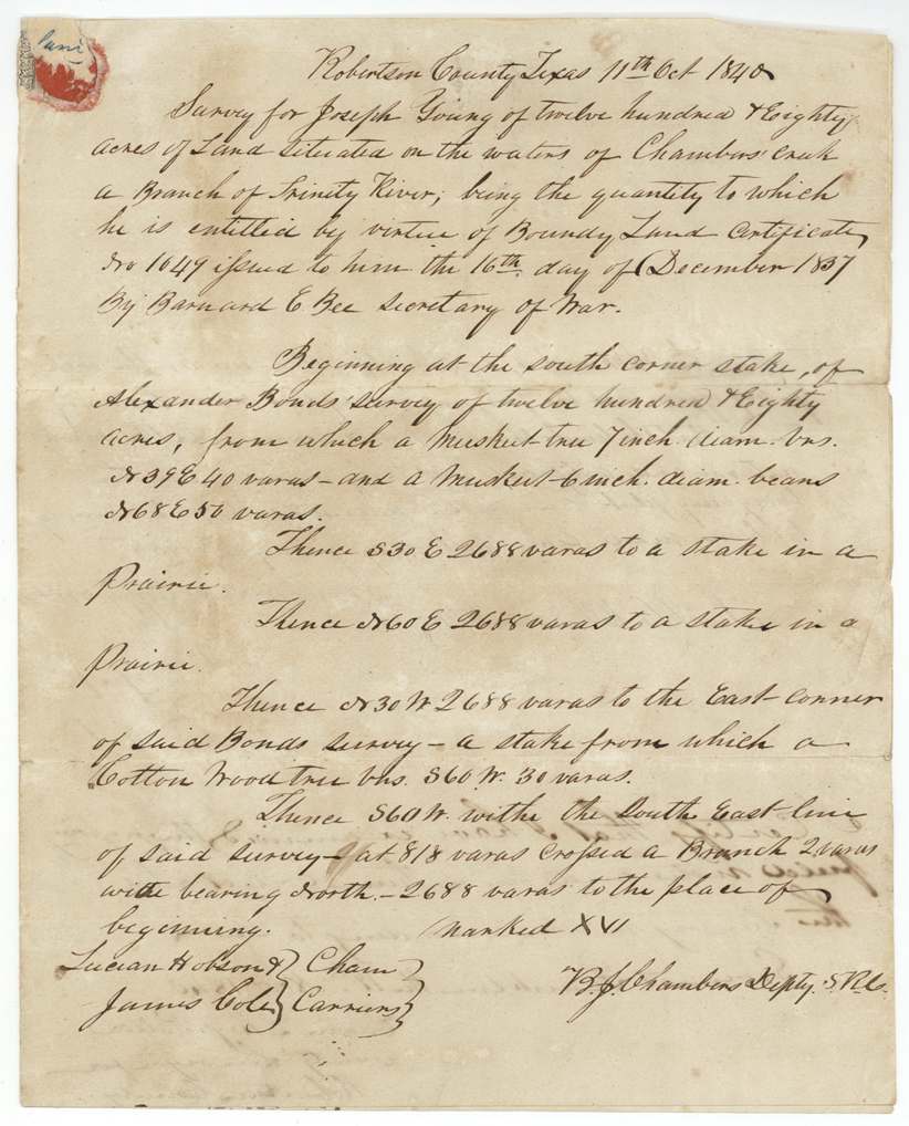
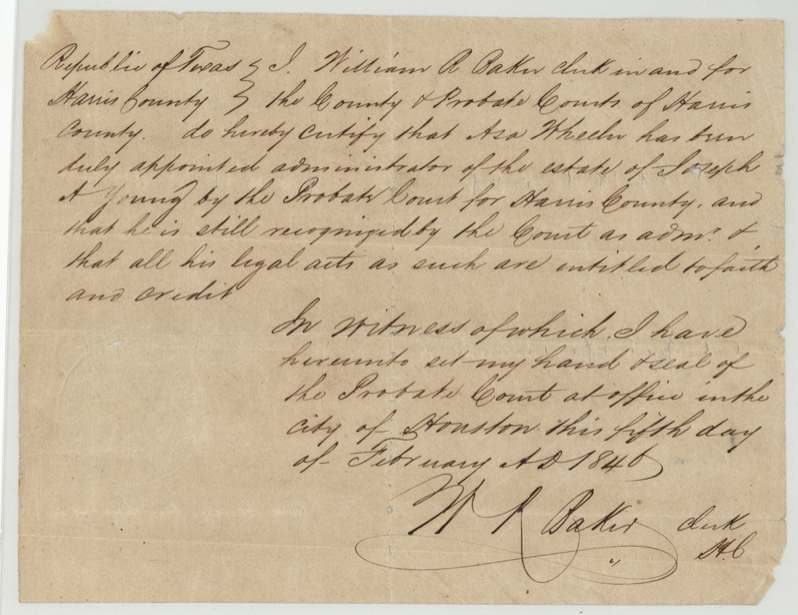
Joseph Young served fourteen months in the Army of Texas from October 1836 to December 1837 and received bounty certificate No. 1049 for 1,280 acres at Houston on December 16, 1837. Deputy surveyor B. J. Chambers located it on October 11, 1840 on the waters of Chambers Creek, adjoining Alexander Bond's survey, but the warrant was held up as 'not approved' until Acting Secretary Ben F. Hill approved it on September 13, 1845. The patent issued to Joseph Young on December 19, 1845, although by February 1846 a Harris County clerk was certifying Asa Wheeler as administrator of the estate of Joseph A. Young.
The certificate
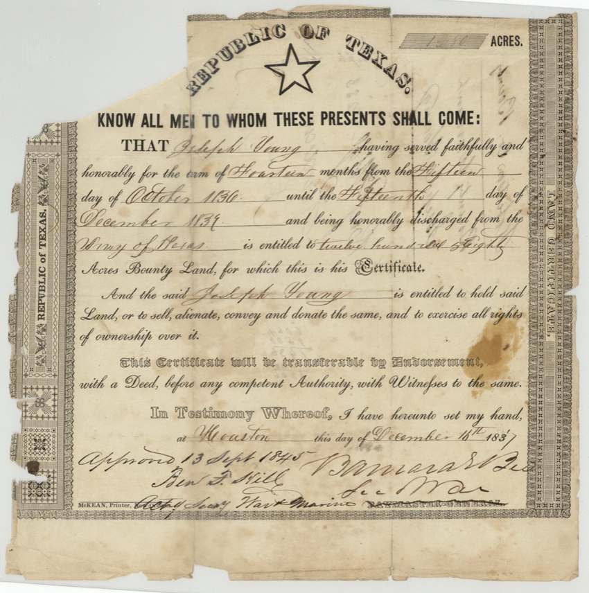
bounty, No. 1049, 1280 acres, Barnard E. Bee, Secretary of War (printed 'Paymaster-General' struck through); approved 13 Sept 1845 by Ben F. Hill, Acting Secretary of War and Marine, Houston, 16 Dec 1837.
Served faithfully and honorably in the Army of Texas for fourteen months, from 15 October 1836 until 15 (or 14) December 1837, and honorably discharged
The survey
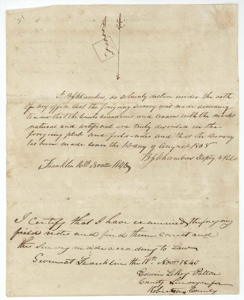
1840-10-11 (oath sworn at Franklin 16 Nov 1840), B. J. Chambers, Deputy Surveyor, Robertson County.
Robertson County (now Navarro), on the waters of Chambers Creek, a branch of the Trinity River; mostly prairie
Chain carriers: Lucian Hobson, James Cole.
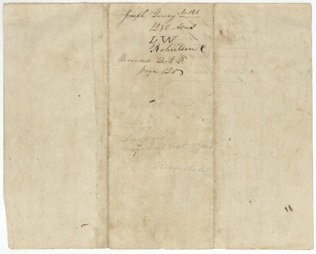
Book B, page 120
The patent
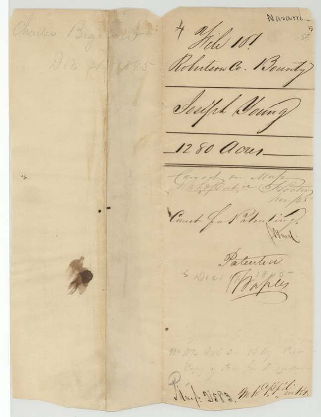
19 Dec 1845, No. 117, Vol. 3, to Joseph Young, delivered to Charles Bigelow(?), Dec 21, 1845 (pencil on old wrapper).
Also in the file
- Joseph Young was apparently dead by early 1846: a Harris County probate clerk certified that Asa Wheeler was administrator of the estate of 'Joseph A. Young' — yet the patent of December 1845 issued in Young's own name, not to his heirs.
- The warrant sat unapproved for years: the survey was flagged 'Suspended — warrant not approved' and was cleared only when Acting Secretary Ben F. Hill approved the 1837 certificate on 13 September 1845; patent followed three months later.
- The discharge date was written 'Fifteenth' and then a '14' was written over it.
Timeline
- 15 Oct 1836Joseph Young begins 14 months' service in the Army of Texas
- 15 Dec 1837Discharged (date also written as 14th)
- 16 Dec 1837Bounty certificate No. 1049 for 1280 acres issued at Houston by Barnard E. Bee
- 11 Oct 1840B. J. Chambers surveys 1280 acres on the waters of Chambers Creek next to Alexander Bond
- 19 Nov 1840County surveyor Edwin LeRoy Patton approves the survey at Franklin; recorded Book B p. 120
- 26 Oct 1844Pencil date on field-note cover (meaning unclear)
- 13 Sep 1845Certificate approved by Ben F. Hill, Acting Secretary of War and Marine
- 19 Dec 1845Patent No. 117, Vol. 3, issued to Joseph Young
- 21 Dec 1845Patent apparently delivered to Charles Bigelow(?)
- 5 Feb 1846Harris County clerk certifies Asa Wheeler as administrator of Joseph A. Young's estate
The papers in the file
Every page of the Land Office file, in the order the Land Office keeps them (10 pages). Tap a page to see it larger.
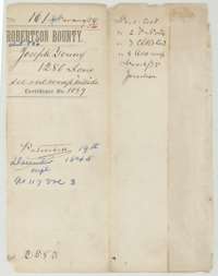 File jacketFile jacket for the bounty land claim of Joseph Young, 1,280 acres, listing the certificate, field notes and clerk's certificate.General Land Office, file 161, page 1 · in the scan
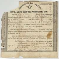 CertificateRepublic of Texas bounty certificate No. 1049 issued at Houston, 16 December 1837, to Joseph Young for 1,280 acres for fourteen months of army service.General Land Office, file 161, page 2 · in the scan
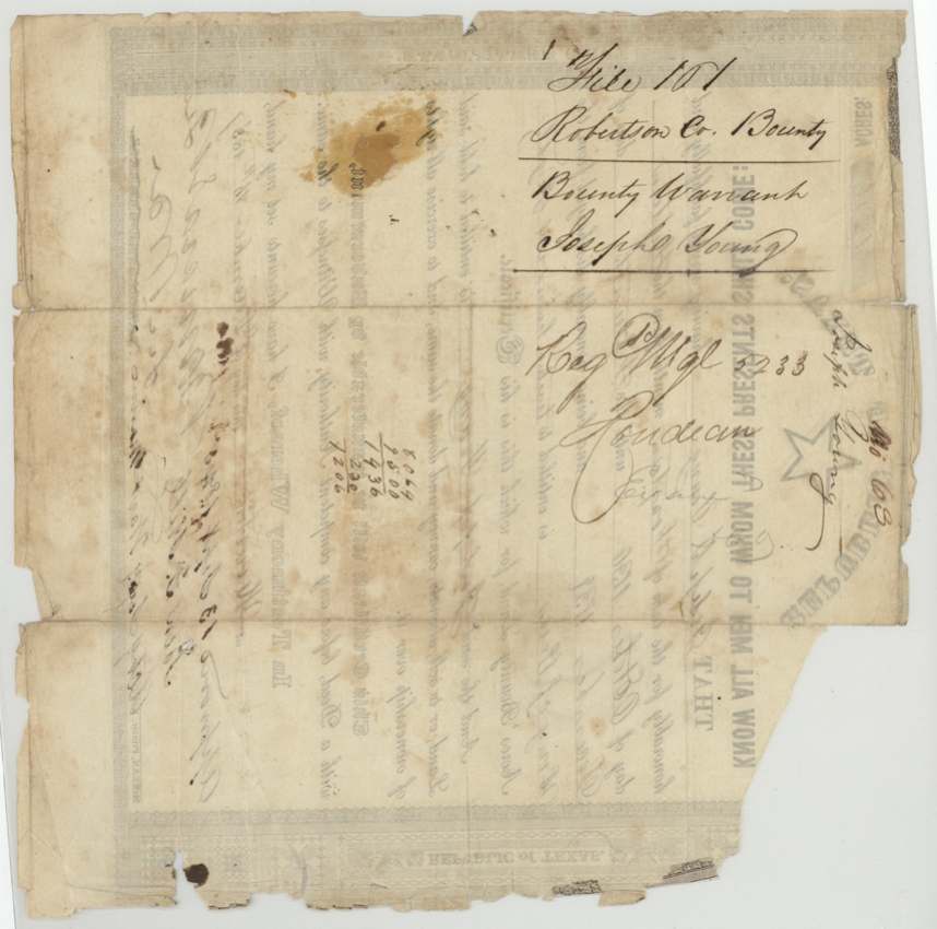
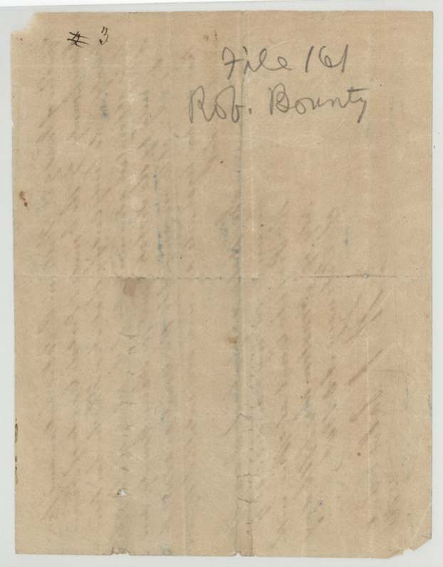
 Back of the certificateBack of the bounty certificate, with Land Office filing notes and numbers.General Land Office, file 161, page 3 · in the scan
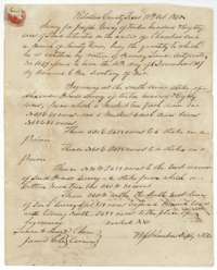 Field notesField notes for 1,280 acres on Chambers Creek, surveyed for Joseph Young by deputy surveyor B. J. Chambers, 11 October 1840.General Land Office, file 161, page 4 · in the scan
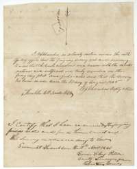 Surveyor's certificateSurveyor's oath of B. J. Chambers and the county surveyor's certificate of 19 November 1840 that the Young survey was correct.General Land Office, file 161, page 5 · in the scan
 WrapperDocket wrapper for the Young field notes, recorded in Book B, page 120.General Land Office, file 161, page 6 · in the scan
 WrapperFiling wrapper for the Young field notes, marked patented.General Land Office, file 161, page 7 · in the scan
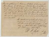 CertificateCertificate of 5 February 1846 from the Harris County probate clerk, Houston, that an administrator of Joseph Young's estate was duly appointed.General Land Office, file 161, page 8 · in the scan
 WrapperFile wrapper marked Robertson Bounty, file 161.General Land Office, file 161, page 9 · in the scan
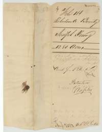 WrapperWrapper for the Joseph Young bounty papers, marked correct for patenting and patented.General Land Office, file 161, page 10 · in the scan
Scans courtesy of the Texas General Land Office, Austin, from its Land Grant Database.
Neighbouring surveys
Sources
- Texas General Land Office, Land Grant Database: Navarro County, Abstract 886
- The Land Office file, scanned (PDF, at the General Land Office)
- 1924 map: courtesy of the Texas General Land Office, Austin, Map 73249, used under licence. Topo: U.S. Geological Survey, The National Map. Aerial photographs: U.S. Department of Agriculture, National Agriculture Imagery Program, 2012, 2018 and 2022. Survey outlines: Railroad Commission of Texas, Original Texas Land Survey. Grant records and files: Texas General Land Office.