Blackland TX · ← All the original surveys
William D. Moore Survey, Abstract 558
- Granted to
- William D. Moore
- Kind of grant
- Headright, third classLand for later settlers, including the colonists of Mercer’s Colony.
- Land Office file
- Robertson 3rd class, file 3448
- Acres
- 640
- Patented to
- W. W. Oliver
- Patent
- 31 Jan 1860 · No. 55, Vol. 29
Tap a survey to open its page.
What the file shows
William J. Moore proved before the Freestone County District Court in April 1857 that he had been a citizen of Mercer's Colony before 25 Oct 1848, and on 25 Apr 1857 the court certified him entitled to 640 acres as head of a family. That same day Moore, signing by mark, sold the right to Benjamin R. Tyus for $100. Deputy Surveyor Isaac Walker located it on 21 Aug 1857 on the waters of Chambers Creek about 14 miles west of Corsicana, adjoining the Young and Graves surveys and the Huie tract, and District Surveyor Thos. J. Oliver recorded it. Tyus sold the certificate to W. W. Oliver for $250 on 11 Feb 1858, and after a conflict with Springer's forfeited survey was cleared, the patent issued to Oliver on 30 Jan 1860 (No. 55, Vol. 29).
The certificate
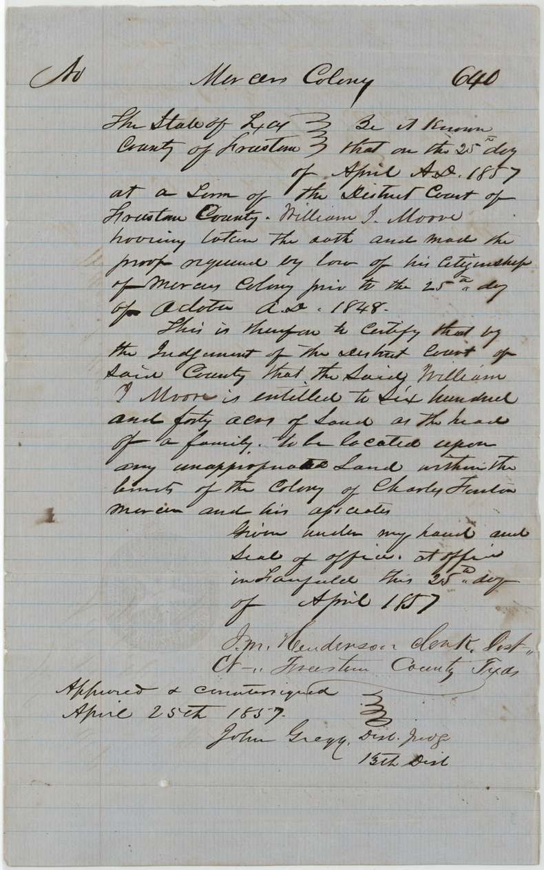
other (Mercer's Colony certificate issued by judgment of District Court; filed as Robertson 3rd class), No. blank ('No. ___'); file 3448, 640 acres, District Court of Freestone County: J. M. Henderson, Clerk District Court; approved and countersigned by John Gregg, District Judge, 13th District, Fairfield, Freestone County, 25 Apr 1857.
At the April 1857 term of the Freestone County District Court, William J. Moore took the oath and made the proof required by law of his citizenship of Mercer's Colony prior to 25 Oct 1848; by the court's judgment he is entitled to 640 acres 'as the head of a family', to be located on unappropriated land within the limits of the Colony of Charles Fenton Mercer and his associates
Changes of hand
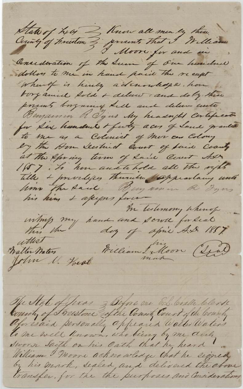
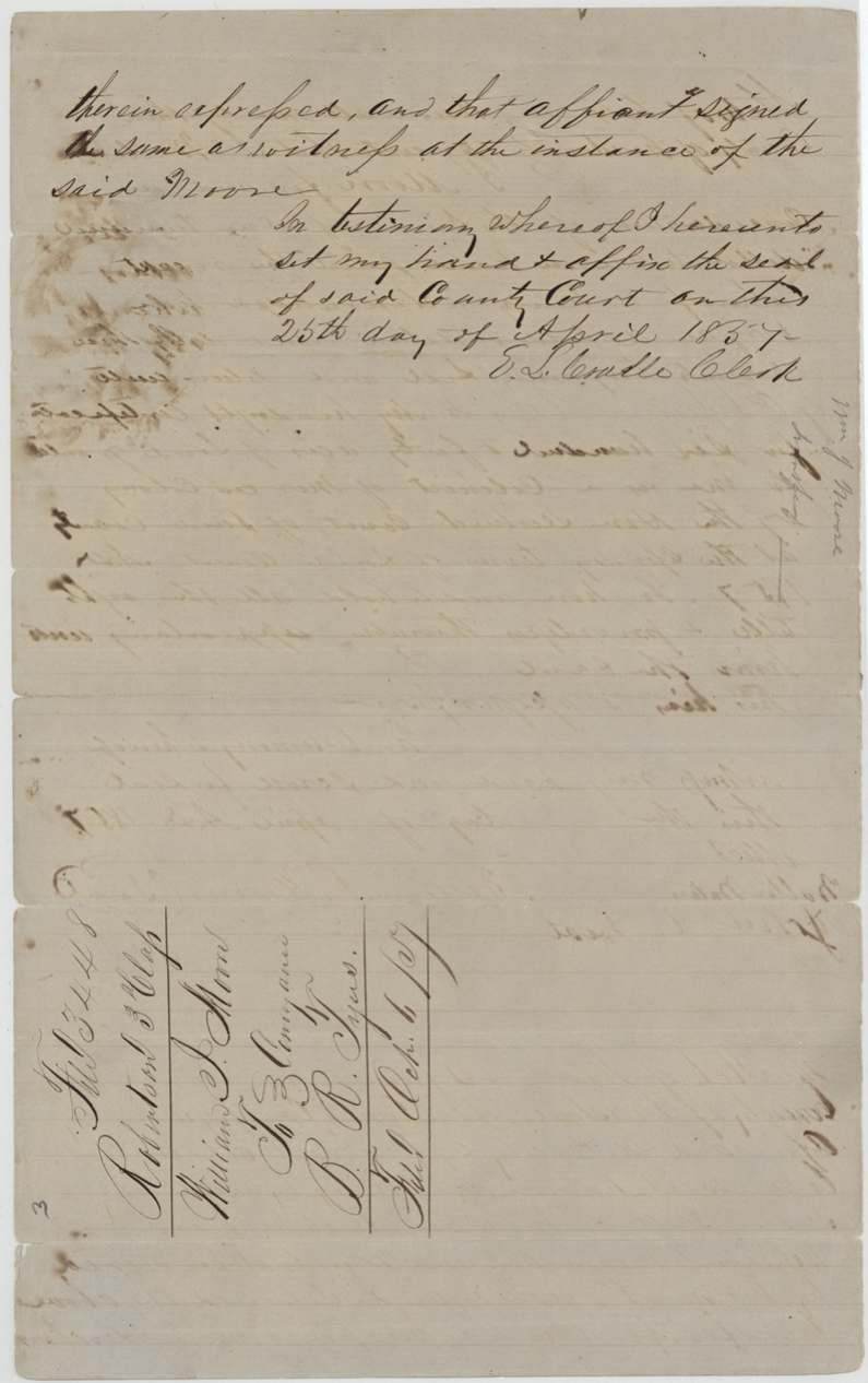
- April 1857 (day left blank); proved 25 Apr 1857William J. Moore (his X mark) → Benjamin R. Tyus, $100, Freestone County, Texas. Conveys 'my headright certificate for six hundred & forty acres of land granted to me as a colonist of Mercer's Colony by the Hon. District Court of said County at the Spring term ... 1857' — sold the same day the court certified it
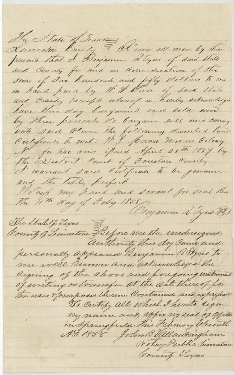
- 11 Feb 1858Benjamin R. Tyus, of Limestone County → W. W. Oliver, of Limestone County, $250, Springfield, Limestone County, Texas. Tyus warrants the certificate genuine and title perfect; filed GLO Feby 16/58
The survey
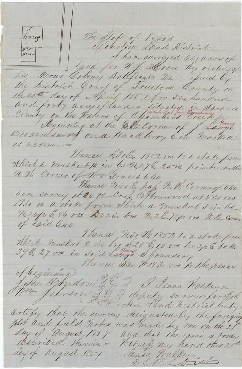
1857-08-21 (certified 26 Aug 1857), Isaac Walker.
640 acres 'situated in Navarro County on the waters of Chambers Creek [interlined in red: 14 miles West from Corsicana]'; begins at the S.W.(?) corner of J. Young's ('Long's' struck) 1280-acre survey on a hackberry 6 in. marked as a corner; S30E 1852 vrs to stake, pointer to NW corner of Wm. Graves 640; N60E passing NW corner of 640-acre survey at 30 vrs, crossing Cottonwood at 530 vrs, 1930 vrs to stake near NE corner of said 640; N30W 1852 vrs to stake in said Young's S boundary; S60W 1930 vrs to beginning; bearing trees mesquite
Chain carriers: John Herndon, Wm. Johnson.
Book L, page 390
The patent
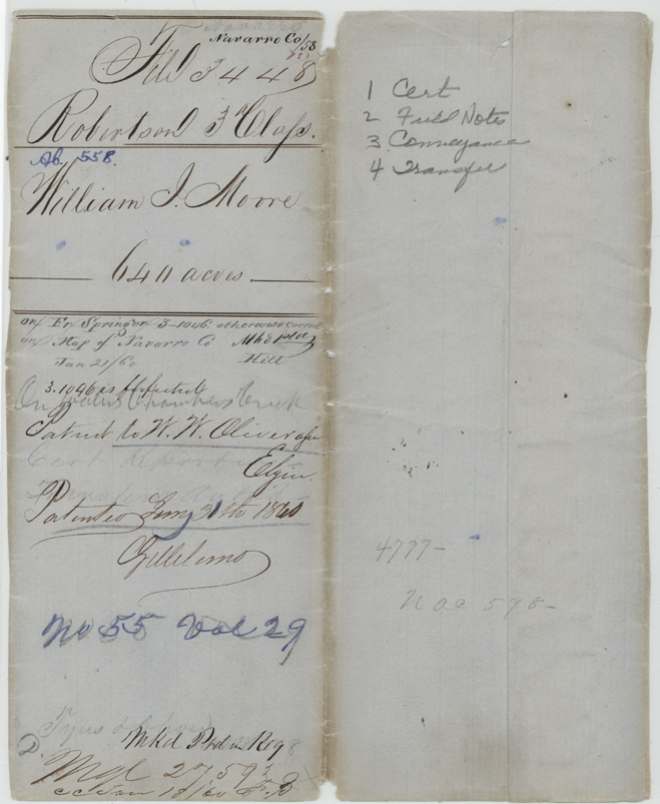
30 Jan 1860, No. 55, Vol. 29, to W. W. Oliver, assignee.
Also in the file
- GLO index gives grantee as 'William D Moore'; every document in the file reads William J. (W. J.) Moore; the Huie survey (Abst 417) calls him W. T. Moore
- Survey overlapped Fr. Springer's survey S. 1046 on the county map; S. 1046 noted as forfeited, so patent allowed (the Huie survey also had 'F. Springer' struck out as neighbour)
- Moore sold the certificate to Tyus the same day the court issued it (25 Apr 1857), for $100; Tyus resold it to W. W. Oliver for $250
- Certificate number left blank
- District Surveyor Thos. J. Oliver approved the survey of land that went to W. W. Oliver
- 'Long's' struck and 'Young's' substituted in red for the beginning neighbour, as in Abst 417
Timeline
- 25 Oct 1848Cut-off date for Mercer colony citizenship cited in certificate
- 25 Apr 1857Freestone County District Court certifies Moore entitled to 640 acres as head of family; Moore sells to B. R. Tyus for $100
- 21 Aug 1857Isaac Walker surveys 640 acres on Chambers Creek
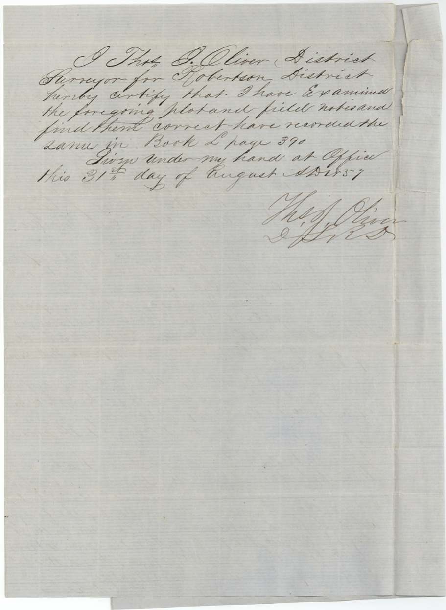
- 31 Aug 1857Thos. J. Oliver approves; Book L p. 390
- 6 Oct 1857Certificate and field notes filed in GLO
- 11 Feb 1858Tyus sells to W. W. Oliver for $250
- 16 Feb 1858Tyus–Oliver transfer filed in GLO
- 21 Jan 1860Map check: conflict with forfeited Springer S. 1046
- 30 Jan 1860Patent No. 55 Vol. 29 to W. W. Oliver
The papers in the file
Every page of the Land Office file, in the order the Land Office keeps them (10 pages). Tap a page to see it larger.
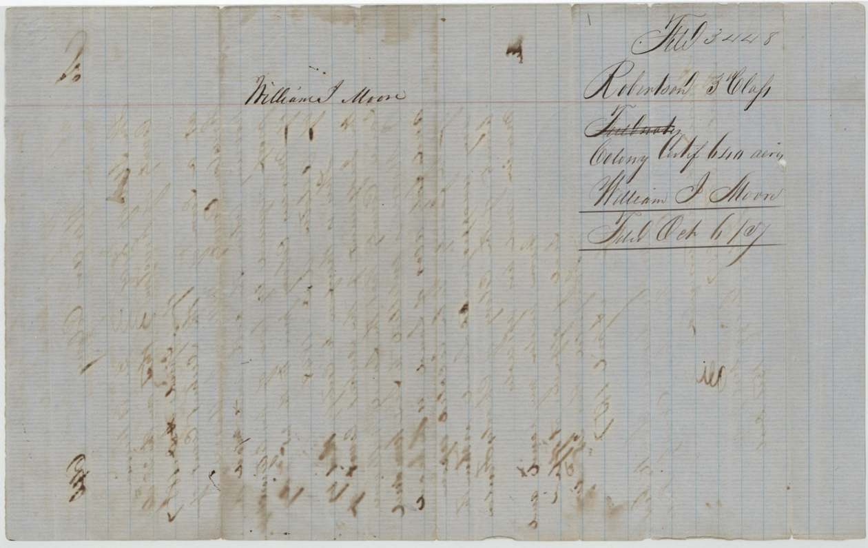
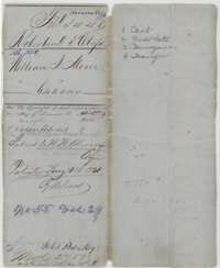 WrapperFile wrapper for William J. Moore's 640 acres, listing certificate, field notes, conveyance and transfer, marked patented 30 January 1860.General Land Office, file 3448, page 1 · in the scan
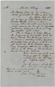 CertificateMercer's Colony certificate for 640 acres to William J. Moore as head of a family, issued by the Freestone County District Court, 25 April 1857.General Land Office, file 3448, page 2 · in the scan
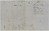 Back of the certificateBack of the certificate, endorsed William J. Moore, Colony Certificate, 640 acres, filed 6 October 1857.General Land Office, file 3448, page 3 · in the scan
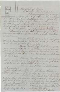 Field notesField notes for 640 acres on the waters of Chambers Creek, surveyed for William J. Moore by deputy surveyor Isaac Walker, 21 August 1857.General Land Office, file 3448, page 4 · in the scan
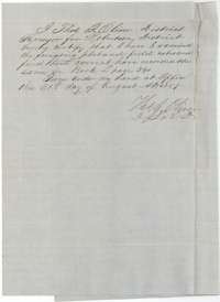 Surveyor's certificateCertificate of district surveyor Thos. J. Oliver, 31 August 1857, that the Moore field notes were examined and recorded in Book L, page 390.General Land Office, file 3448, page 5 · in the scan
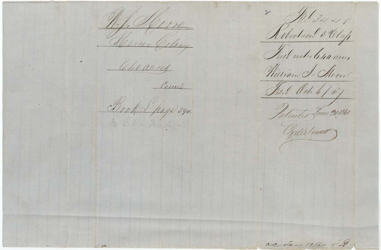
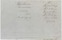 WrapperField-notes jacket for W. J. Moore, Mercer's Colony, 640 acres, recorded in Book L, page 390, and patented 30 January 1860.General Land Office, file 3448, page 6 · in the scan
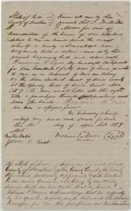 TransferTransfer by William J. Moore of his 640-acre certificate to Benjamin R. Tyus for $100, April 1857, with the county clerk's proof.General Land Office, file 3448, page 7 · in the scan
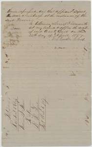 TransferContinuation of the Moore to Tyus transfer, with the Freestone County clerk's proof dated 25 April 1857.General Land Office, file 3448, page 8 · in the scan
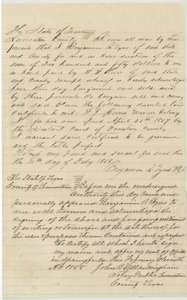 TransferTransfer by Benjamin R. Tyus to W. W. Oliver of Moore's colony certificate for $250, Springfield, 11 February 1858.General Land Office, file 3448, page 9 · in the scan
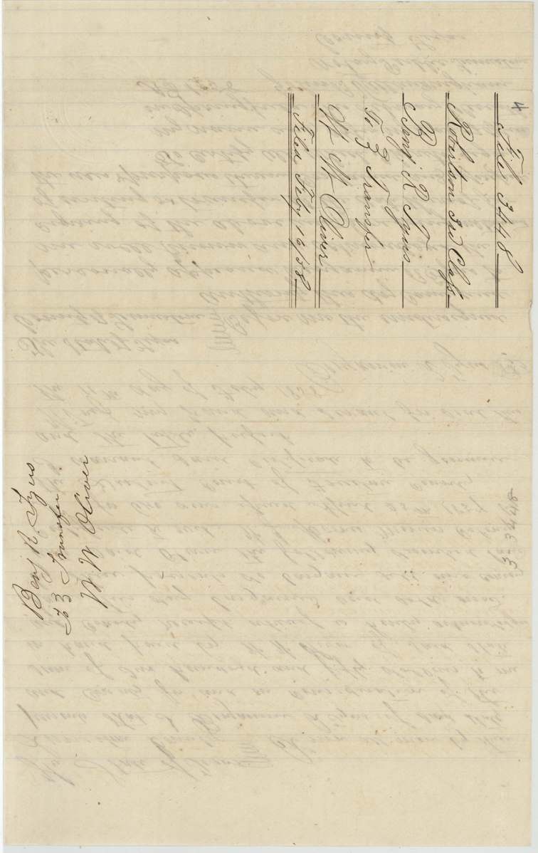
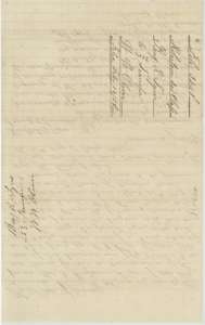 WrapperBack of the Tyus to Oliver transfer, with a filing note of 16 February 1858.General Land Office, file 3448, page 10 · in the scan
Scans courtesy of the Texas General Land Office, Austin, from its Land Grant Database.
Neighbouring surveys
Sources
- Texas General Land Office, Land Grant Database: Navarro County, Abstract 558
- The Land Office file, scanned (PDF, at the General Land Office)
- 1924 map: courtesy of the Texas General Land Office, Austin, Map 73249, used under licence. Topo: U.S. Geological Survey, The National Map. Aerial photographs: U.S. Department of Agriculture, National Agriculture Imagery Program, 2012, 2018 and 2022. Survey outlines: Railroad Commission of Texas, Original Texas Land Survey. Grant records and files: Texas General Land Office.