Blackland TX · ← All the original surveys
Joseph Lynn Survey, Abstract 493
- Granted to
- Joseph Lynn
- Kind of grant
- Headright, third classLand for later settlers, including the colonists of Mercer’s Colony.
- Land Office file
- Robertson 3rd class, file 2466
- Acres
- 240
- Patented to
- Isaac Kelly
- Patent
- 12 Jun 1856 · No. 1428, Vol. 9
Tap a survey to open its page.
What the file shows
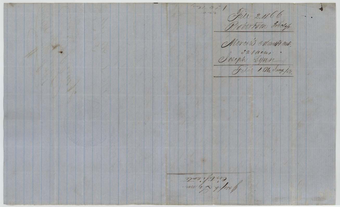
Joseph Lynn proved his citizenship as a Mercer colonist and received a 320-acre certificate from the Limestone County District Court on 15 May 1855. He sold it to James C. Key for $150 on 7 Nov 1855; on 15 Dec 1855 deputy surveyor Wm. L. Browning laid it out as 240 acres (head of a branch 14 miles S 87 W of Corsicana) and 80 acres (head of Cottonwood branch about 13 miles S 85 W). Key sold the 240 acres to Isaac Kelley, one of the chain carriers, for $120 on 21 Dec 1855, and on 12 June 1856 the 240 acres was patented to Kelly and the 80 acres to Key, the patents apparently going to Corsicana notary Alex. Beaton.
The certificate
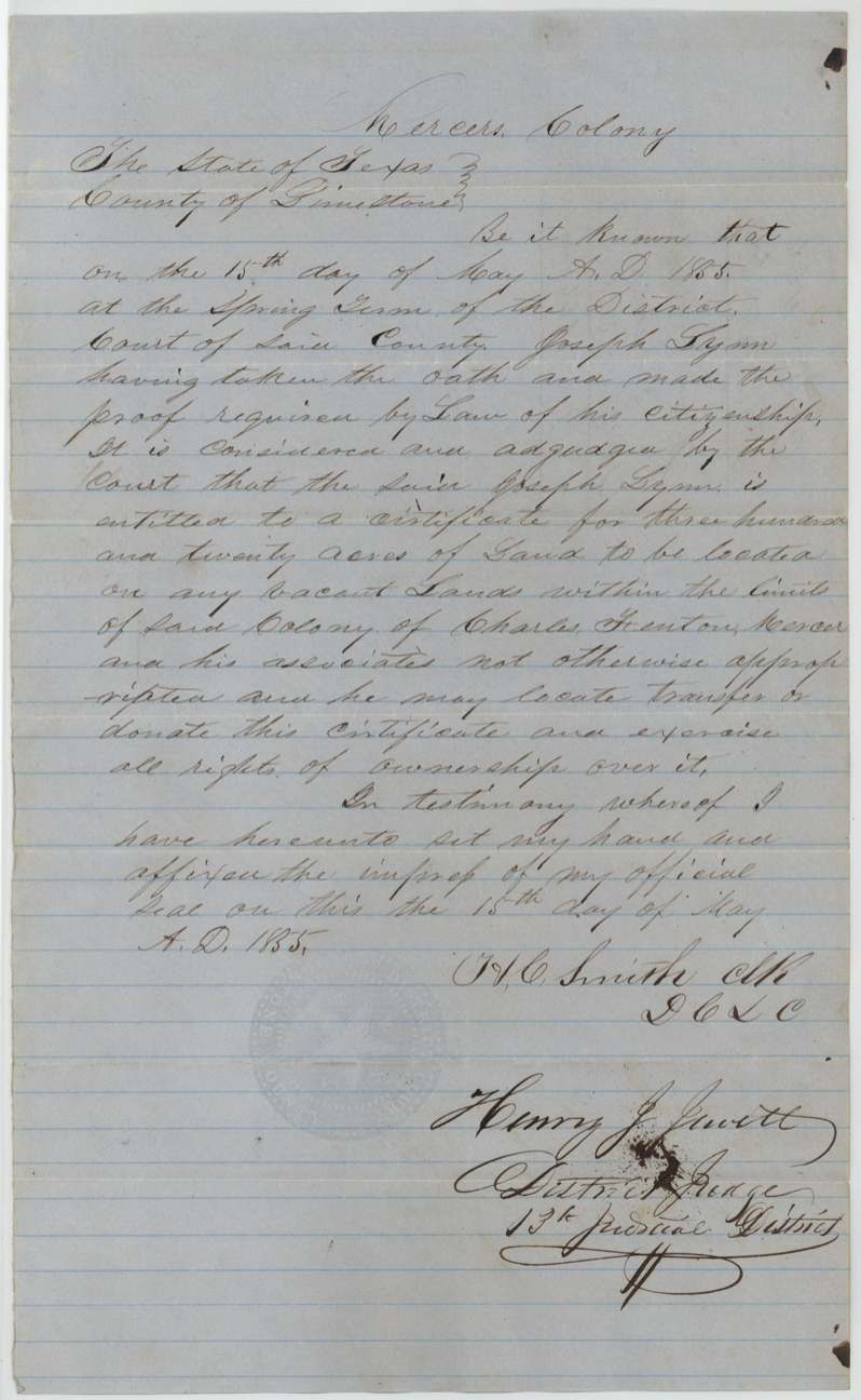
headright 3rd class (Mercer Colony certificate), No. none stated (field notes leave 'No.' blank), 320 acres, District Court of Limestone County, Spring Term; H. C. Smith, Clerk D.C.L.C.; Henry J. Jewett, District Judge, 13th Judicial District, Limestone County (Springfield), 15 May 1855.
Joseph Lynn 'having taken the oath and made the proof required by law of his citizenship' is entitled to 320 acres to be located on vacant land within the limits of the colony of Charles Fenton Mercer and his associates; 'he may locate, transfer or donate this certificate and exercise all rights of ownership over it'. Headed 'Mercer's Colony'.
Changes of hand
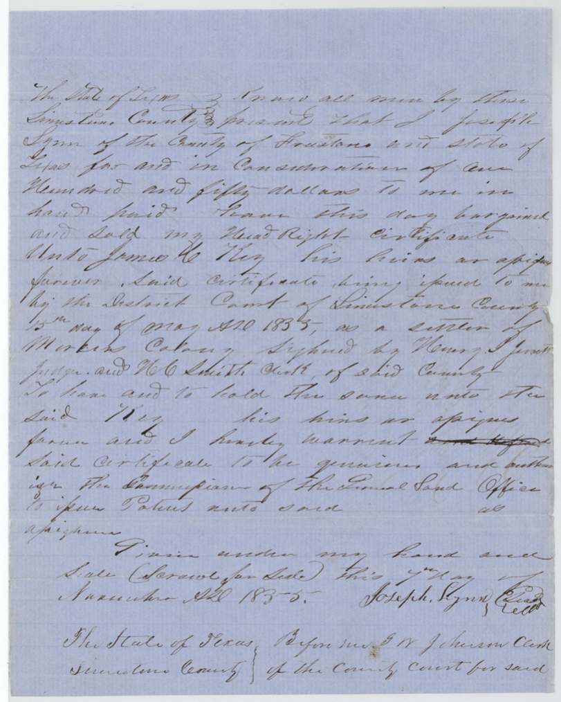
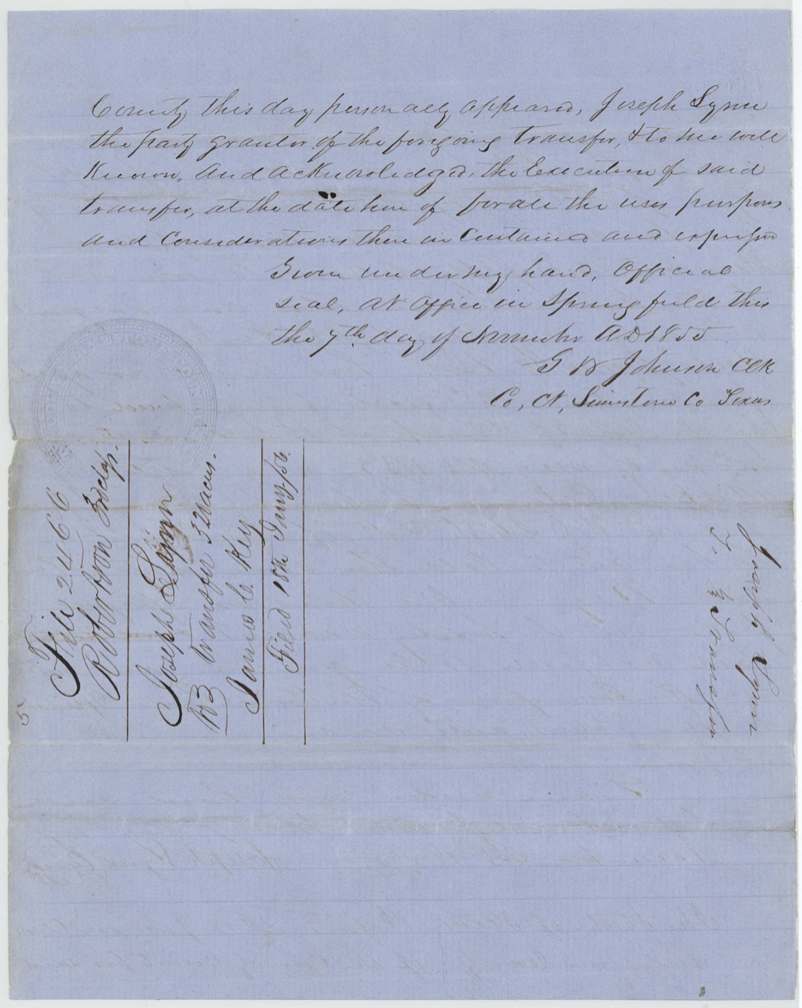
- 7 Nov 1855Joseph Lynn, of Limestone County → James C. Key, $150, Springfield, Limestone County. Sells 'my Head Right certificate' issued 15 May 1855 by Limestone District Court 'as a settler of Mercer's Colony'; warrants it genuine and authorises the GLO to patent to the assignee. Signed 'Joseph Lynn (Seal)', scrawl for seal. Filed GLO 18 Jan 1856.
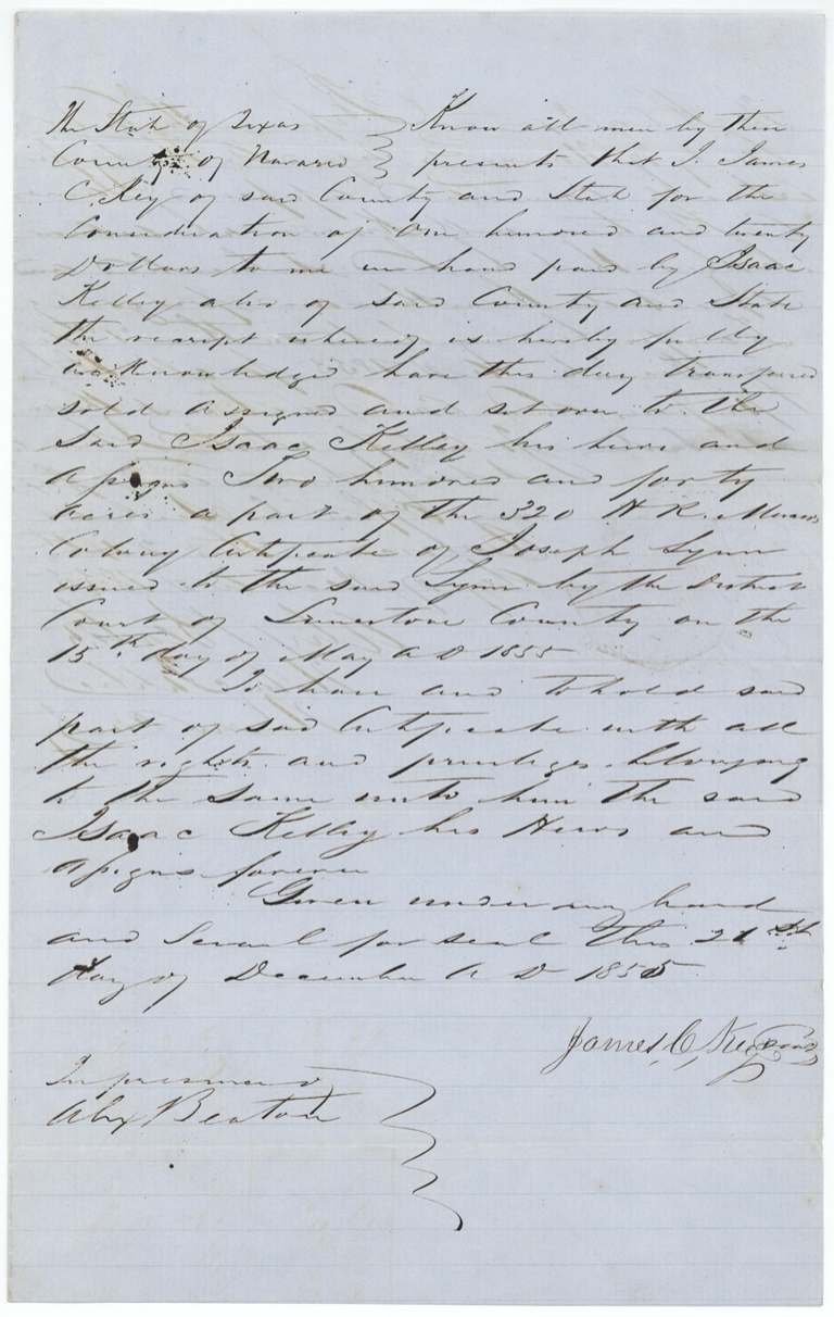
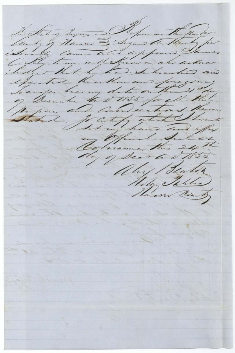
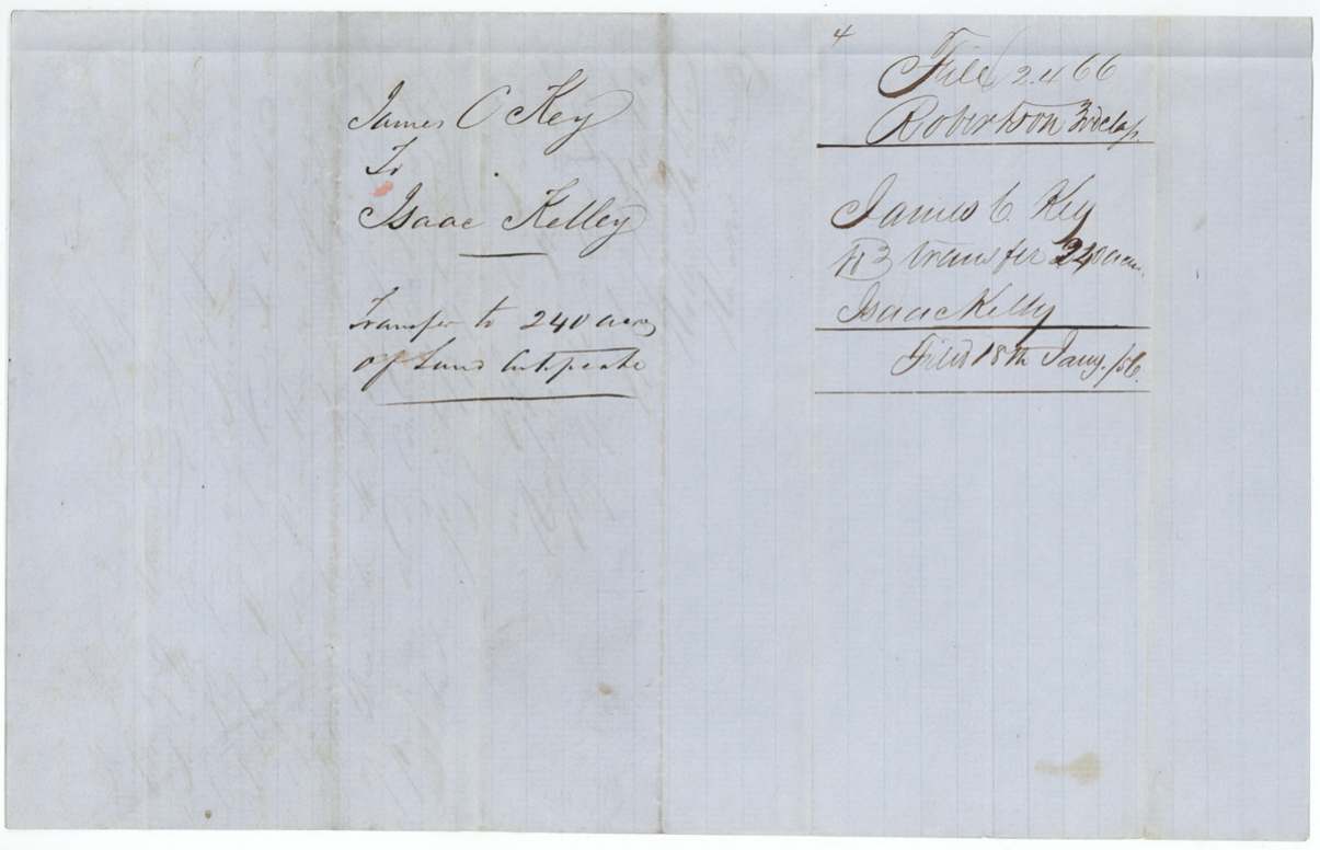
- 21 Dec 1855James C. Key, of Navarro County → Isaac Kelley, of Navarro County, $120, Corsicana, Navarro County. Transfers 240 acres, part of the 320-acre Mercer Colony cert. of Joseph Lynn. Filed GLO 18 Jan 1856.
The survey
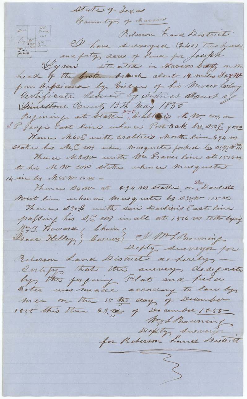
15 Dec 1855 (certified 23 Dec 1855), Wm. L. Browning.
240 acres for Joseph Lynn in Navarro County on the head of the Cooke(?) branch (jacket: 'head of Crabb's(?) Branch') about 14 miles S 87 W (red correction) from Corsicana. Beginning at a stake, Wm. E. Crabtree's N.W. cor., on S. P. George's east line.
Chain carriers: Wm. T. Howard, Isaac Kelley.
Book I, page 3
The survey
15 Dec 1855 (certified 23 Dec 1855), Wm. L. Browning.
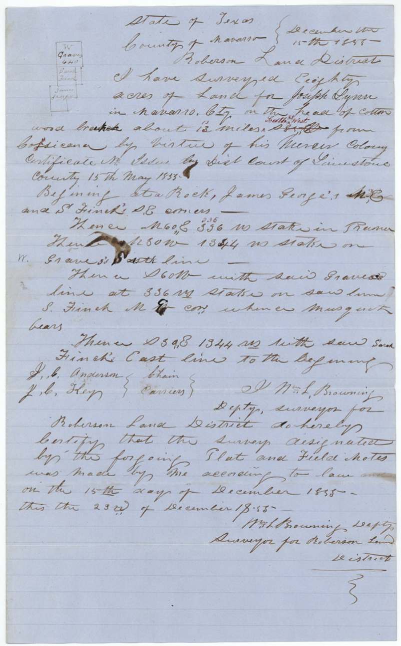
80 acres for Joseph Lynn in Navarro County on the head of Cottonwood branch about 13 (written over 12) miles South 85 West (red, replacing an earlier bearing) from Corsicana. Beginning at a rock, James George's N.E. and Sarah Finch's S.E. corners.
Chain carriers: J. C. Anderson, J. C. Key.
Book I, page 3
The patent
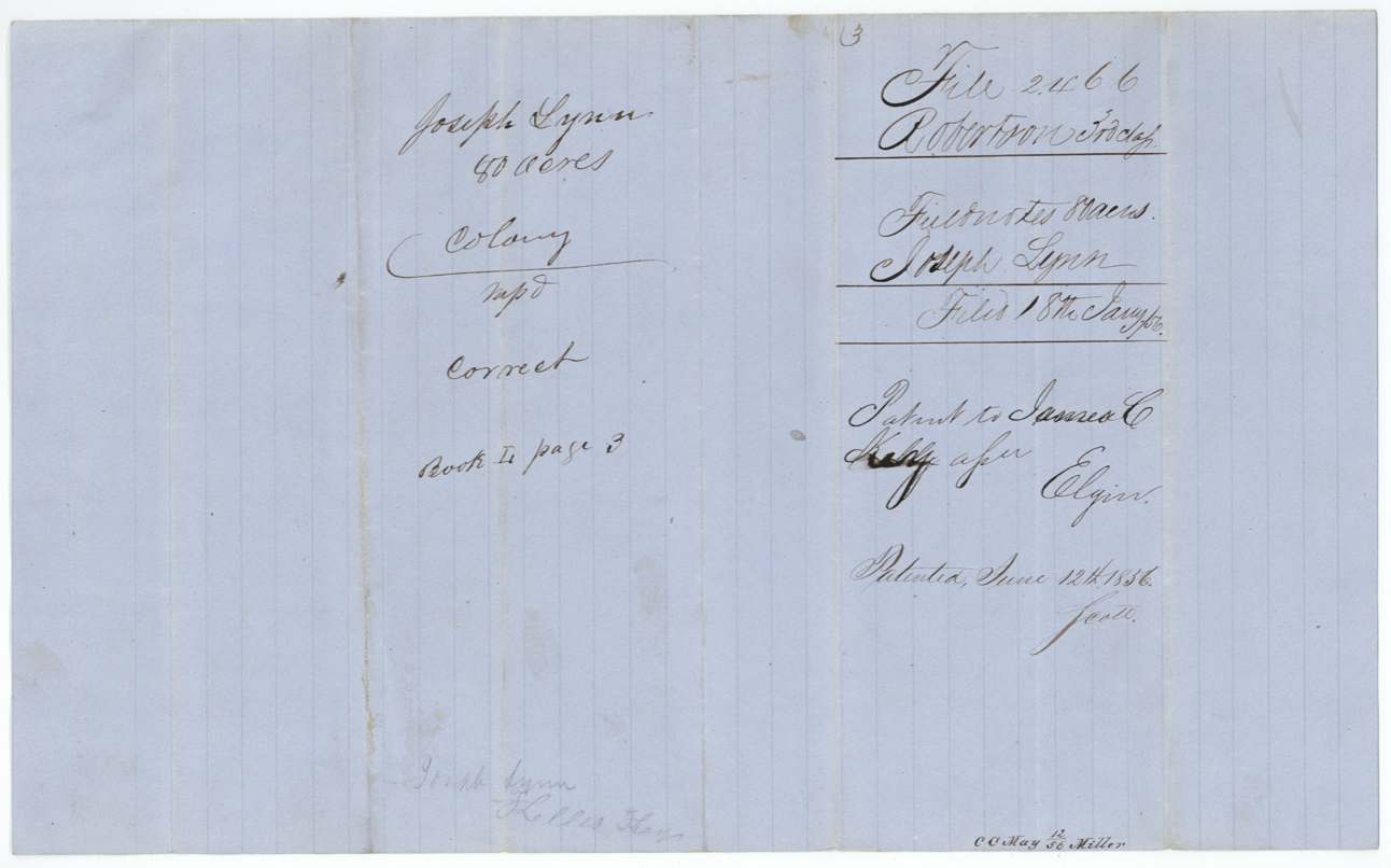
12 June 1856, 240 ac: L.S. No. 1428, Vol. 9 to Isaac Kelly assee; 80 ac: S.S. No. 346, Vol. 13 to James C. Key assee, to Isaac Kelly (240 ac) and James C. Key (80 ac), assignees, delivered to Alex. Beaton, 20 Jun(?) 1856 (pencil 'Del'd Alex Beaton').
Also in the file
- Both chain carriers who mattered became owners: Isaac Kelley carried chain on the 240-acre survey on 15 Dec 1855 and bought it six days later; J. C. Key, who already owned the certificate, carried chain on the 80-acre survey he kept.
- Key paid Lynn $150 for the whole 320-acre certificate and sold 240 acres of it to Kelley for $120 seven weeks later.
- Jacket bears a faint pencil note 'In the reserve!' — not explained in the file.
- Branch name differs: field notes read 'Cooke(?) branch' for the 240 acres; jacket pencil reads 'Crabb's(?) Branch'.
- Bearings and distances were corrected in red on both surveys (S 87 W; 13 for 12 miles, South 85 West).
- Index name 'Kelly'; the deed and field notes spell 'Kelley'.
Timeline
- 15 May 1855Limestone County District Court (Judge Henry J. Jewett) issues Mercer Colony cert. for 320 ac to Joseph Lynn
- 7 Nov 1855Lynn sells the certificate to James C. Key for $150 at Springfield
- 15 Dec 1855Wm. L. Browning surveys 240 ac and 80 ac west of Corsicana
- 21 Dec 1855Key sells 240 ac of the certificate to Isaac Kelley for $120
- 23 Dec 1855Browning certifies field notes
- 24 Dec 1855Key acknowledges deed before Alex. Beaton at Corsicana
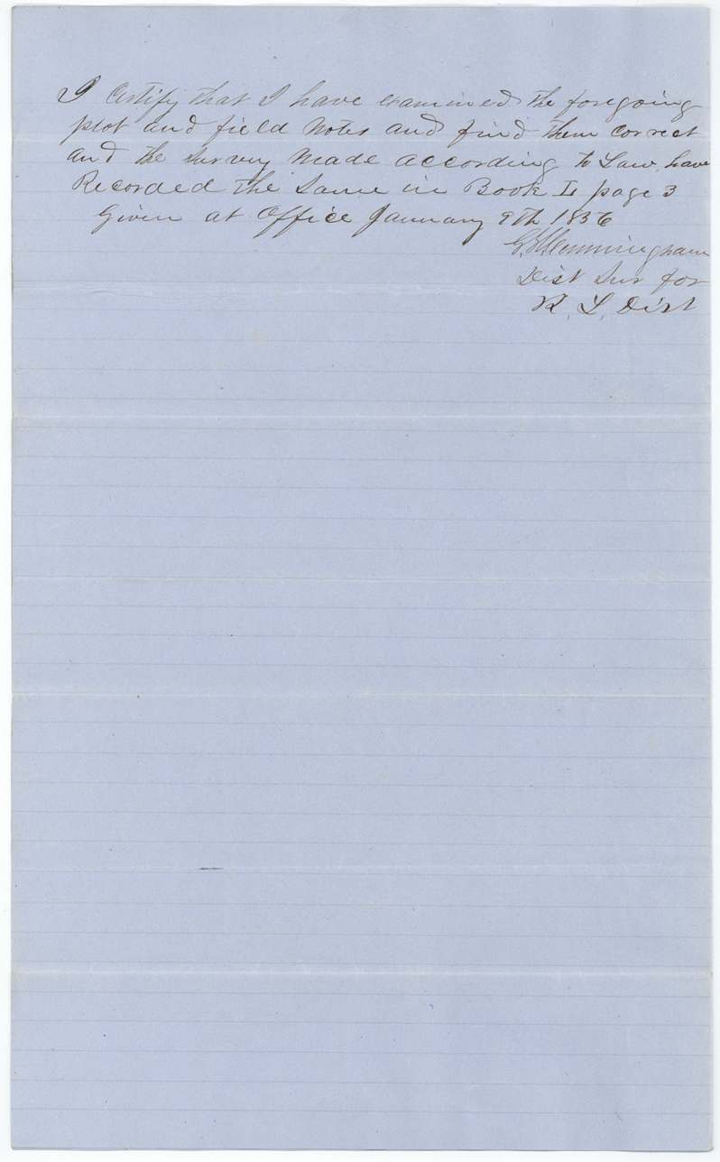
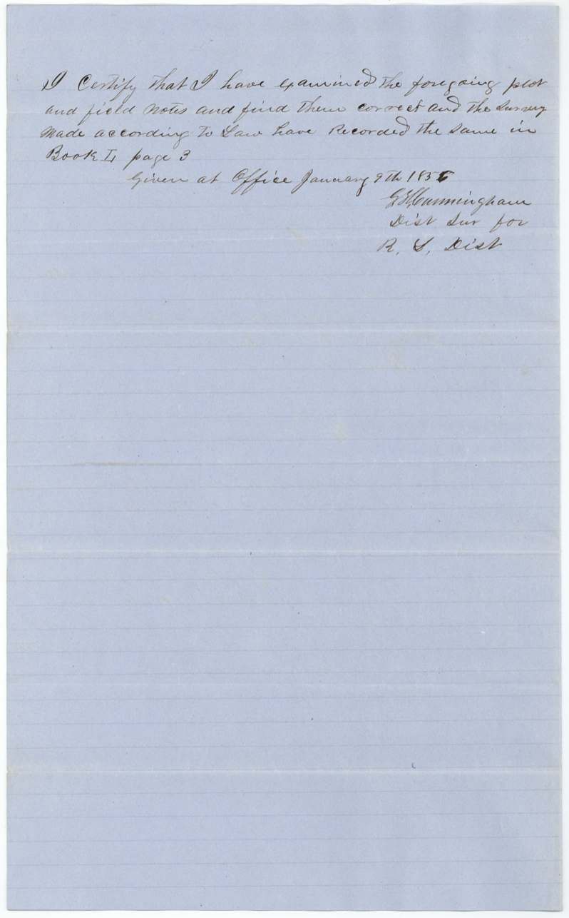
- 9 Jan 1856District surveyor examines and records in Book I p. 3
- 18 Jan 1856Certificate, field notes and transfers filed in GLO
- 12 May 1856Checked by Miller
- 13 May 1856C. W. Pressler finds both surveys correct on map
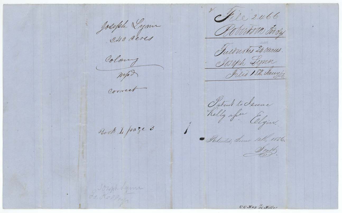
- 12 Jun 1856Patents issued: 240 ac to Isaac Kelly, 80 ac to James C. Key
- 20 Jun 1856Patents delivered to Alex. Beaton (date reading uncertain)
- 23 May 1879File contents listed by Bacon
The papers in the file
Every page of the Land Office file, in the order the Land Office keeps them (14 pages). Tap a page to see it larger.
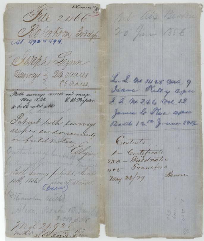
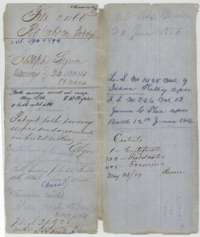 WrapperOuter wrapper for Joseph Lynn's Mercer's Colony file, with the patent entries of 12 June 1856 for the 240-acre and 80-acre surveys.General Land Office, file 2466, page 1 · in the scan
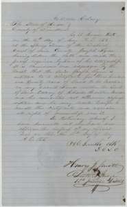 CertificateMercer's Colony certificate for 320 acres, issued to Joseph Lynn by the Limestone County District Court on 15 May 1855.General Land Office, file 2466, page 2 · in the scan
 Back of the certificateJacket and back of the colony certificate, marked filed 18 January 1856.General Land Office, file 2466, page 3 · in the scan
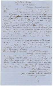 Field notesField notes and plat for 240 acres near the head of a branch west of Corsicana, surveyed for Joseph Lynn by deputy surveyor Wm. L. Browning, 15 December 1855.General Land Office, file 2466, page 4 · in the scan
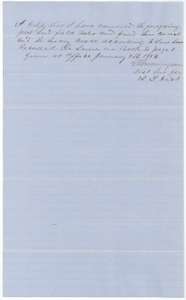 Surveyor's certificateDistrict surveyor's certificate of 9 January 1856 that the 240-acre field notes were examined and recorded in Book I, page 3.General Land Office, file 2466, page 5 · in the scan
 DocketBack of the 240-acre field notes, with the docket and the patent entry of 12 June 1856 to Isaac Kelley, assignee.General Land Office, file 2466, page 6 · in the scan
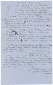 Field notesField notes and plat for 80 acres on the head of Cottonwood branch, surveyed for Joseph Lynn by deputy surveyor Wm. L. Browning, 15 December 1855.General Land Office, file 2466, page 7 · in the scan
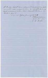 Surveyor's certificateDistrict surveyor's certificate of 9 January 1856 that the 80-acre field notes were examined and recorded in Book I, page 3.General Land Office, file 2466, page 8 · in the scan
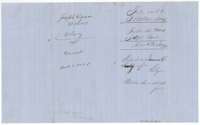 DocketBack of the 80-acre field notes, with the docket and the patent entry of 12 June 1856 to James C. Key, assignee.General Land Office, file 2466, page 9 · in the scan
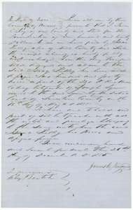 TransferDeed of 21 December 1855 in which James C. Key sells 240 acres of Joseph Lynn's colony certificate to Isaac Kelley for 120 dollars.General Land Office, file 2466, page 10 · in the scan
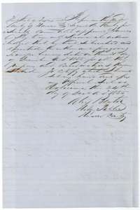 AffidavitNotary's acknowledgment of 24 December 1855 at Corsicana of the deed from James C. Key to Isaac Kelley.General Land Office, file 2466, page 11 · in the scan
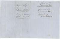 DocketJacket for the transfer from James C. Key to Isaac Kelley, 240 acres, filed 18 January 1856.General Land Office, file 2466, page 12 · in the scan
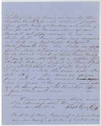 TransferDeed of 7 November 1855 in which Joseph Lynn sells his colony headright certificate to James C. Key for 150 dollars.General Land Office, file 2466, page 13 · in the scan
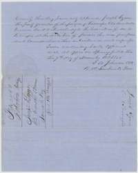 AffidavitCounty clerk's acknowledgment at Springfield of the deed from Joseph Lynn to James C. Key, with the file docket.General Land Office, file 2466, page 14 · in the scan
Scans courtesy of the Texas General Land Office, Austin, from its Land Grant Database.
On this ground today
- Historical markersBlooming Grove School, Blooming Grove United Methodist Church, Site of University Training School - Central Texas College
Places that stand inside this survey’s lines as the state’s survey map draws them.
Neighbouring surveys
Sources
- Texas General Land Office, Land Grant Database: Navarro County, Abstract 493
- The Land Office file, scanned (PDF, at the General Land Office)
- 1924 map: courtesy of the Texas General Land Office, Austin, Map 73249, used under licence. Topo: U.S. Geological Survey, The National Map. Aerial photographs: U.S. Department of Agriculture, National Agriculture Imagery Program, 2012, 2018 and 2022. Survey outlines: Railroad Commission of Texas, Original Texas Land Survey. Grant records and files: Texas General Land Office.