Blackland TX · ← All the original surveys
Jane M. Cazneau Survey, Abstract 153
- Granted to
- Jane M. Cazneau
- Kind of grant
- Headright, first classLand for settlers who were in Texas before independence, 2 March 1836.
- Land Office file
- Robertson 1st class, file 893
- Acres
- 606
- Patented to
- Jane M. Cazneau
- Patent
- 25 Mar 1859 · No. 811, Vol. 11
Tap a survey to open its page.
What the file shows
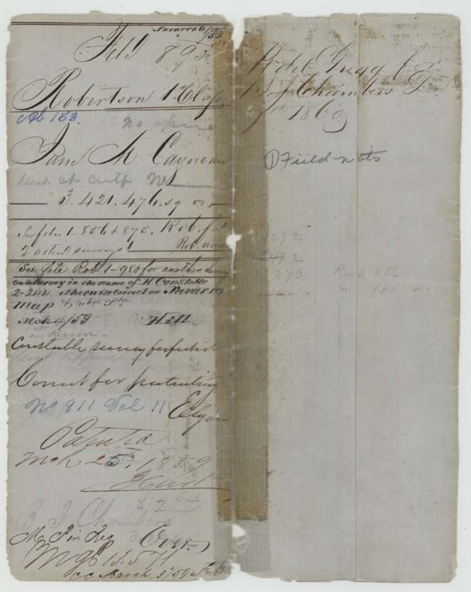
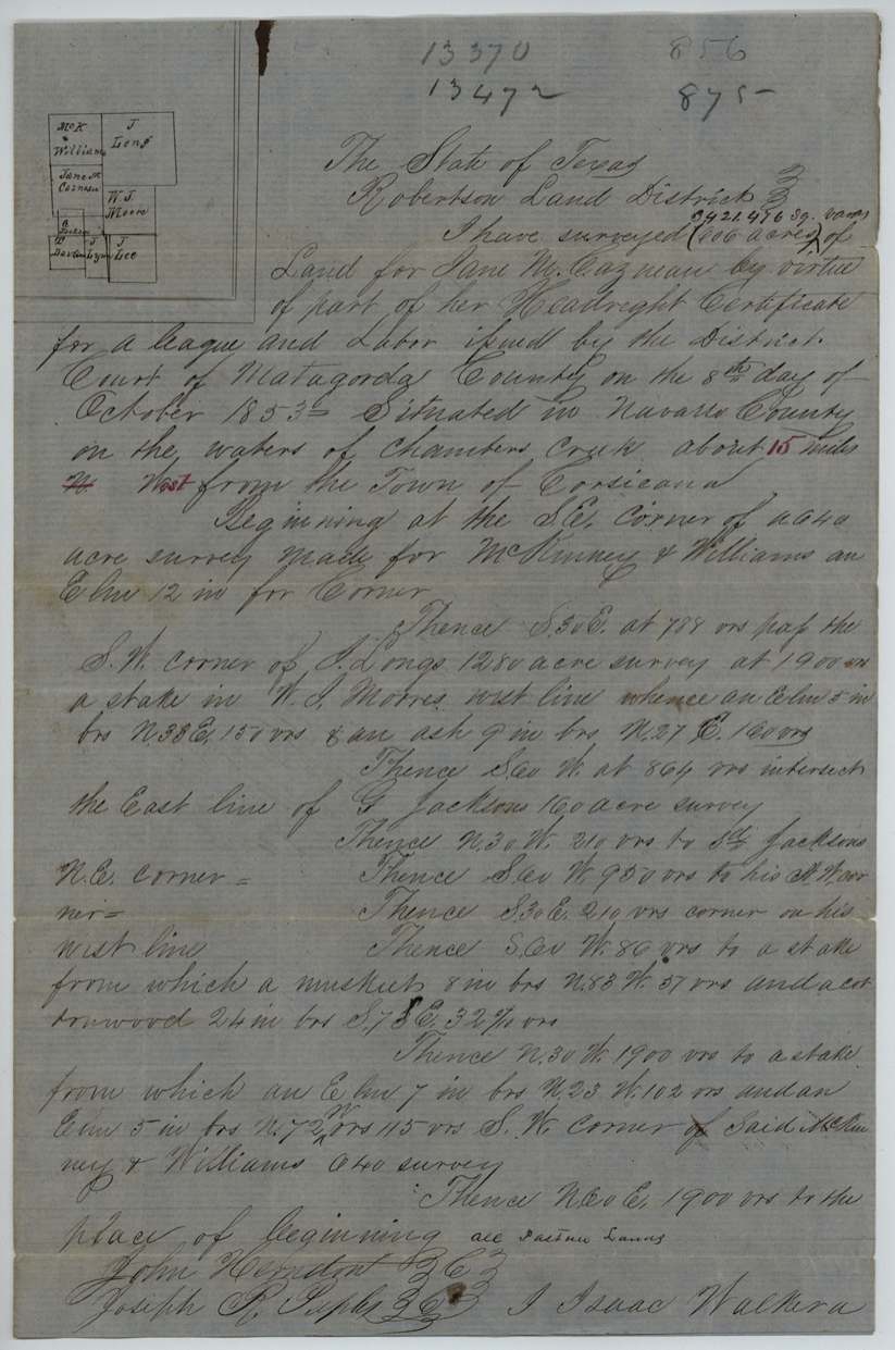
Jane M. Cazneau held a league-and-labor first-class headright certificate that, according to the field notes, was issued by the District Court of Matagorda County in October 1853. In August 1857 deputy surveyor Isaac Walker located part of it — 606 acres — on the waters of Chambers Creek about 15 miles west of Corsicana, beside the McKinney & Williams, J. Long, W. J. Moore and G. Jackson surveys. The GLO found it overlapped a forfeited survey in the name of H. Constable, passed it, and patented it to her in March 1859 (No. 811, Vol. 11). Surveyor B. J. Chambers paid the dues and the patent was delivered to Gregg & Co. for him.
The certificate
headright 1st class (league and labor), No. not stated in this file, league and labor (this survey uses 3,421,476 sq. varas, written as 606 acres), District Court of Matagorda County, Matagorda County, 1853-10-08 (year read as 1853; '8th day of October 1853').
not stated — the certificate itself is not in this file; field notes say only 'her Headright Certificate for a league and labor'
The survey
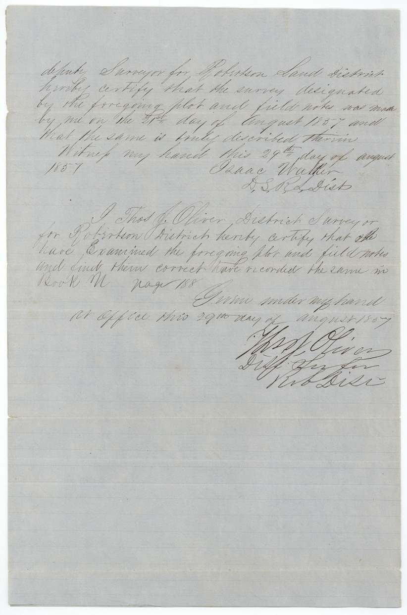
1857-08-21 (certified 1857-08-29), Isaac Walker, Deputy Surveyor, Robertson Land District.
Navarro County, on the waters of Chambers Creek, about 15 miles west of the town of Corsicana ('N' struck out and 'West' substituted; '15' in red)
Chain carriers: John Herndon(?), Joseph R. Sapp(?) / Sughs(?).
Book N, page 188
The patent
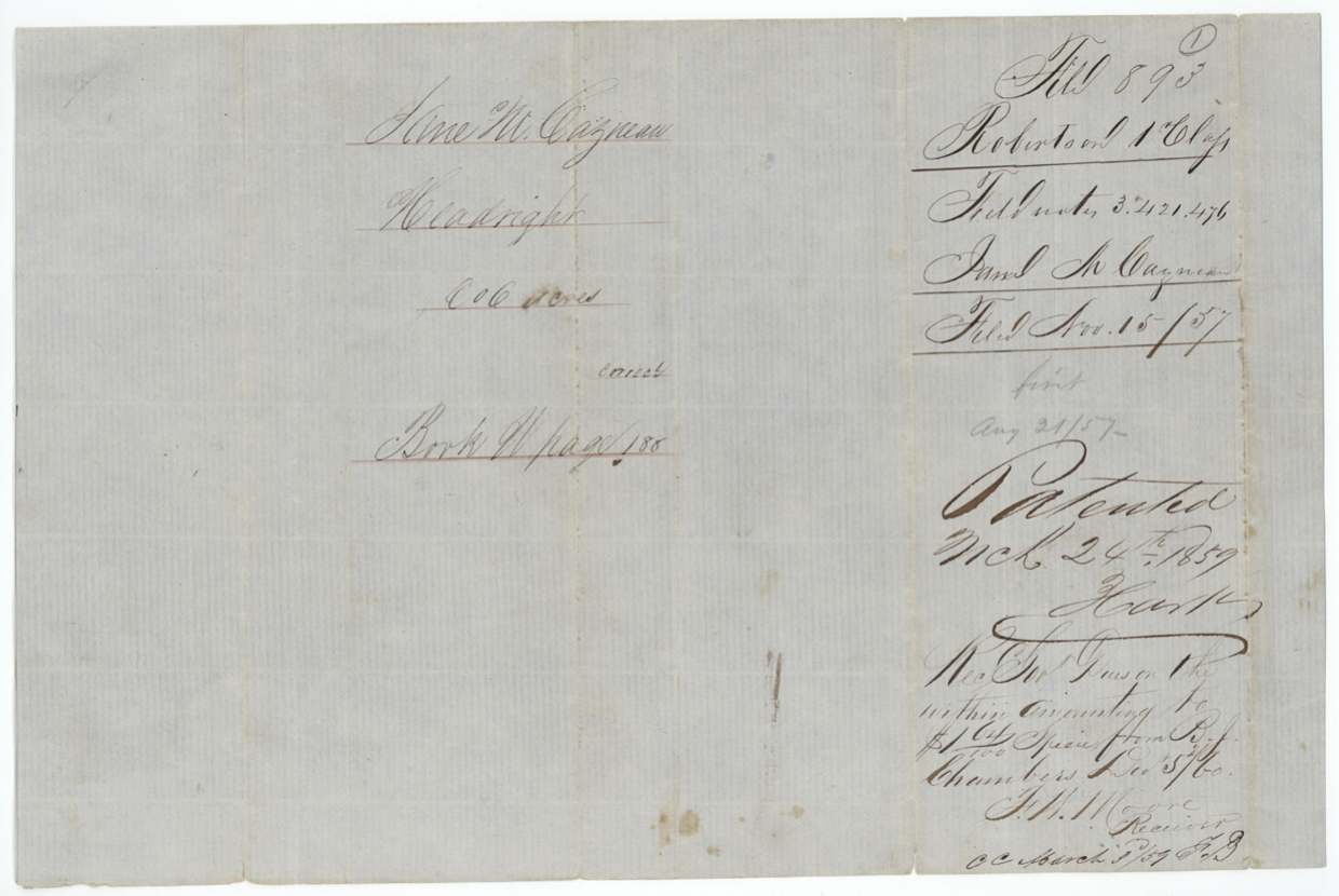
1859-03-24 (field-note docket); wrapper reads 'Mch 25th 1859', No. 811, Vol. 11, to Jane M. Cazneau, delivered to Gregg & Co. for B. J. Chambers, Dec __, 1860 (?).
Also in the file
- The tract lay on top of an earlier survey in the name of H. Constable; the GLO cleared it for patent only after noting that the Constable survey had been forfeited.
- This is one of at least four surveys cut from the same league-and-labor certificate (other files Rob 1-856, 875 and 980).
- The patent is dated March 1859 but the government dues appear to have been paid later (receipt reads Dec 1860), and the patent was then delivered to Gregg & Co. for surveyor B. J. Chambers.
- A woman holding a headright in her own name and her own right is uncommon in these files.
Timeline
- 8 Oct 1853League-and-labor headright certificate issued by District Court of Matagorda County (per field notes)
- 21 Aug 1857Isaac Walker surveys 606 acres on Chambers Creek waters, Navarro County
- 29 Aug 1857Field notes certified and recorded, Book N p. 188 (Thos. J. Oliver)
- 15 Nov 1857Field notes filed in GLO
- 4 Mar 1859Map check finds overlap with H. Constable survey (later noted forfeited)
- 24 Mar 1859Patent No. 811, Vol. 11 issued to Jane M. Cazneau
- 1860-12 (?)Dues paid by B. J. Chambers; patent delivered to Gregg & Co. for Chambers
The papers in the file
Every page of the Land Office file, in the order the Land Office keeps them (4 pages). Tap a page to see it larger.
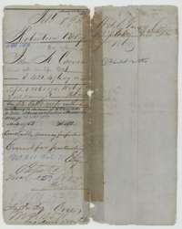 File jacketFile jacket for Jane M. Cazneau's league and labor headright, noting a survey of 606 acres and the patent of March 1859.General Land Office, file 893, page 1 · in the scan
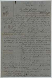 Field notesField notes and plat of 606 acres on the waters of Chambers Creek for Jane M. Cazneau, surveyed by deputy surveyor Isaac Walker, 21 August 1857.General Land Office, file 893, page 2 · in the scan
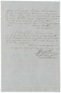 Surveyor's certificateIsaac Walker's oath of 29 August 1857 and District Surveyor Thos. J. Oliver's certificate that the Cazneau survey is correct and recorded in Book N, page 188.General Land Office, file 893, page 3 · in the scan
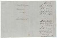 WrapperDocket wrapper for the Cazneau field notes, 606 acres, filed November 1857 and marked patented in March 1859.General Land Office, file 893, page 4 · in the scan
Scans courtesy of the Texas General Land Office, Austin, from its Land Grant Database.
Neighbouring surveys
Sources
- Texas General Land Office, Land Grant Database: Navarro County, Abstract 153
- The Land Office file, scanned (PDF, at the General Land Office)
- 1924 map: courtesy of the Texas General Land Office, Austin, Map 73249, used under licence. Topo: U.S. Geological Survey, The National Map. Aerial photographs: U.S. Department of Agriculture, National Agriculture Imagery Program, 2012, 2018 and 2022. Survey outlines: Railroad Commission of Texas, Original Texas Land Survey. Grant records and files: Texas General Land Office.