Blackland TX · ← All the original surveys
McKinney & Williams Survey, Abstract 606
- Granted to
- McKinney & Williams
- Kind of grant
- Land scripLand bought from the Republic with scrip.
- Land Office file
- Robertson Scrip, file 324
- Certificate
- No. 2/4540
- Acres
- 640
- Patented to
- James Dunn
- Patent
- 07 Dec 1860 · No. 765, Vol. 4
Tap a survey to open its page.
What the file shows
Thomas F. McKinney and Samuel M. Williams held a vast 1845 land-scrip certificate (No. 70/169, 108,816 acres); in May 1857 the Land Office cut two 320-acre certificates from its unlocated balance. Their Austin attorney S. M. Swenson sold both to William B. Johnston for $130 each, and Johnston resold them to James Dunn at Centreville that July. Deputy surveyor John Loughridge laid out the 640 acres as one tract on the waters of Richland Creek, about 13 miles southeast of Corsicana, in September 1857. Patent No. 765, Vol. 14, issued to James Dunn as assignee on 7 December 1860.
The certificate
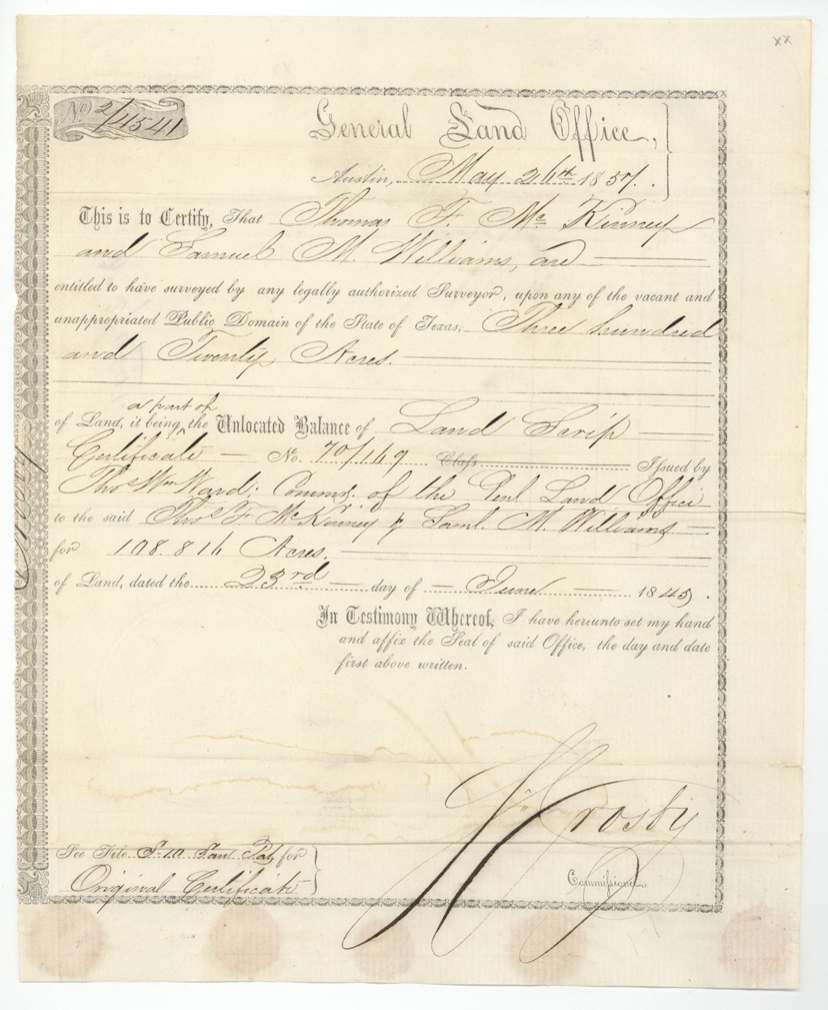
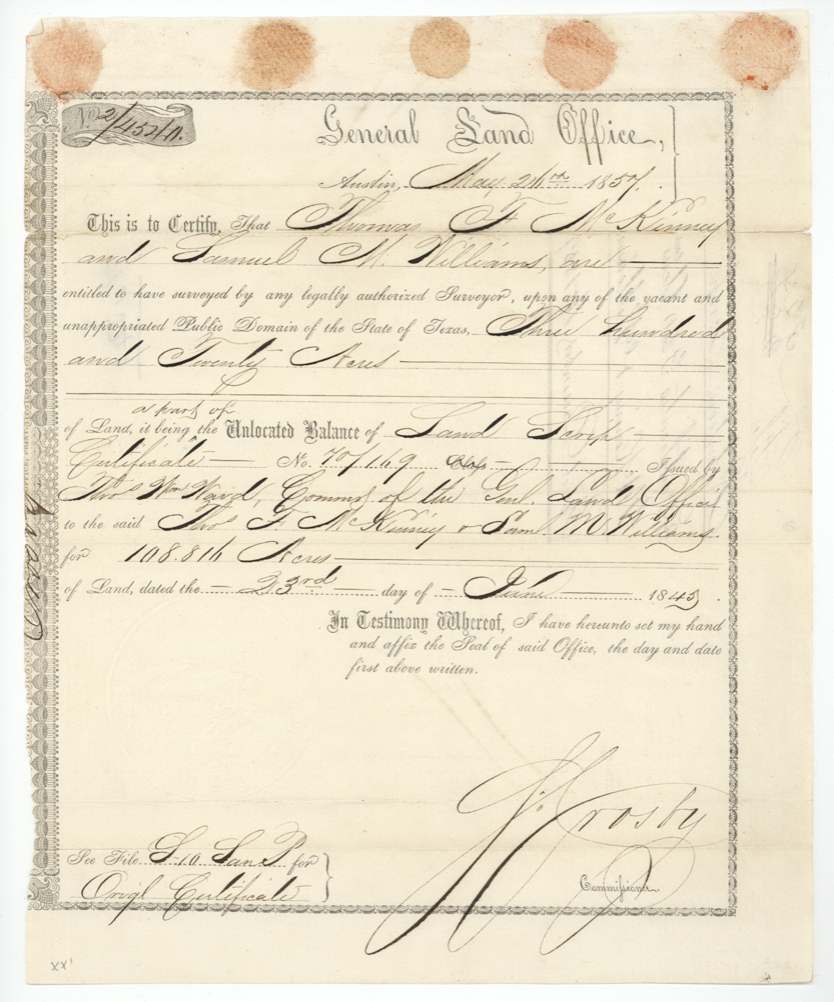
scrip, No. 2/4540 and 2/4541 (each 320 acres; parts of the unlocated balance of Land Scrip Certificate No. 70/169), 640 (2 x 320), S. Crosby, Commissioner, General Land Office, Austin, 26 May 1857.
Each 320-acre certificate is 'a part of the unlocated balance' of Land Scrip Certificate No. 70/169 issued by Thos. Wm. Ward, Commissioner of the General Land Office, to Thos. F. McKinney and Saml. M. Williams for 108,816 acres, dated 23 June 1845. Original certificate filed in a Sam. Pat.(?) file.
Changes of hand
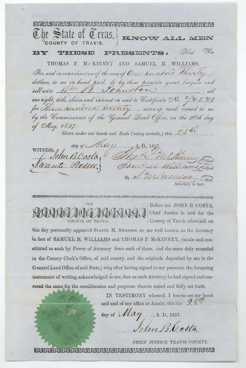
- 28 May 1857Thomas F. McKinney and Samuel M. Williams, by S. M. (Svante M.) Swenson, attorney in fact → William B. Johnston, $130, Travis County (Austin). Certificate 2/4540, 320 acres. Printed form; Swenson's power of attorney said to be recorded in Travis County and the originals deposited in the GLO.
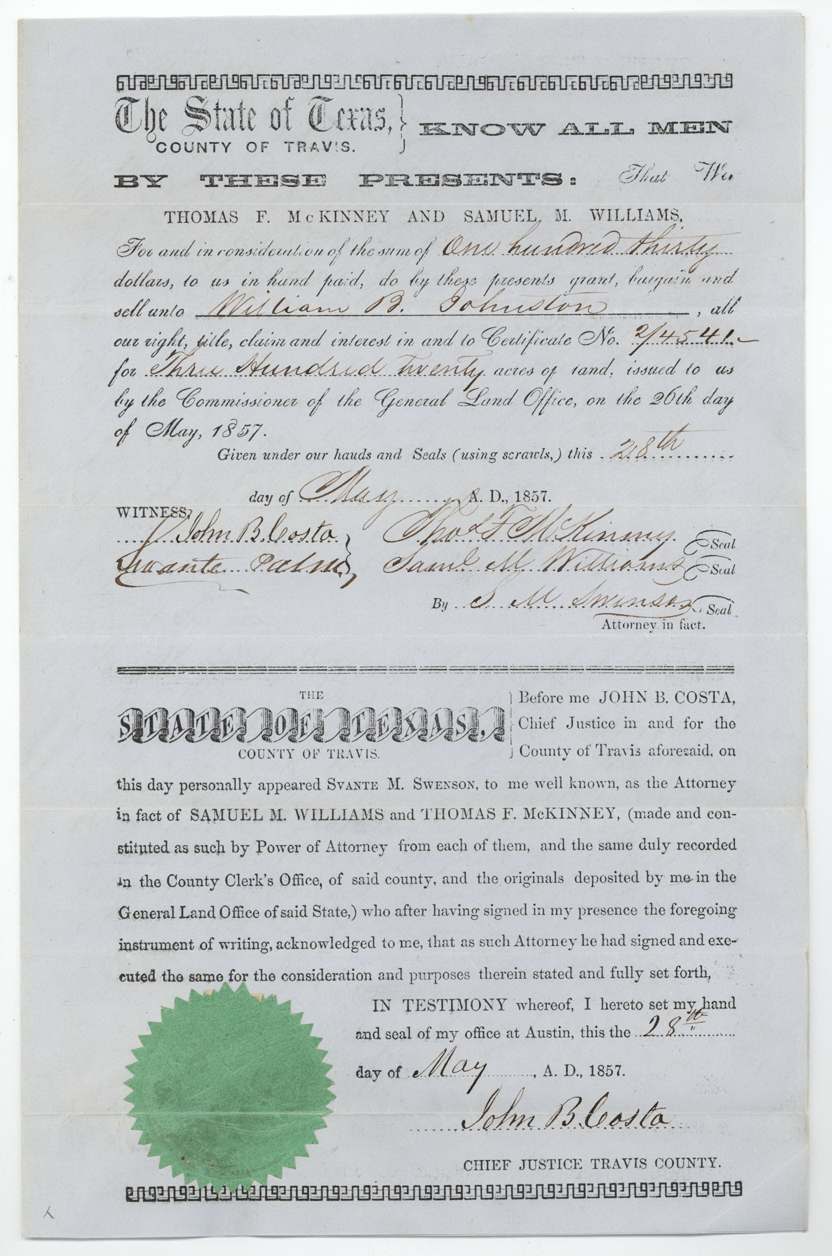
- 28 May 1857Thomas F. McKinney and Samuel M. Williams, by S. M. Swenson, attorney in fact → William B. Johnston, $130, Travis County (Austin). Certificate 2/4541, 320 acres. Same printed form.
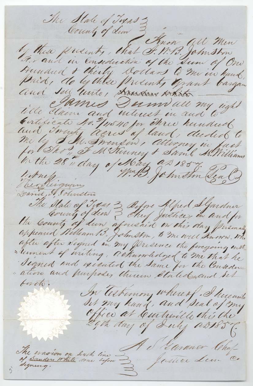
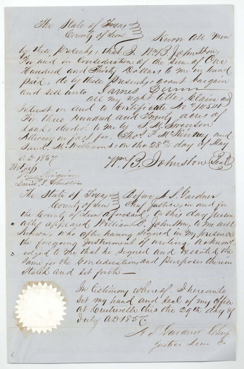
- 29 Jul 1857William B. Johnston → James Dunn, $130, Centreville, Leon County. Certificate 2/4540. A name was erased and 'James Dunn' written in; marginal note: 'The erasion on sixth line of Sanders White(?) done before signing.'
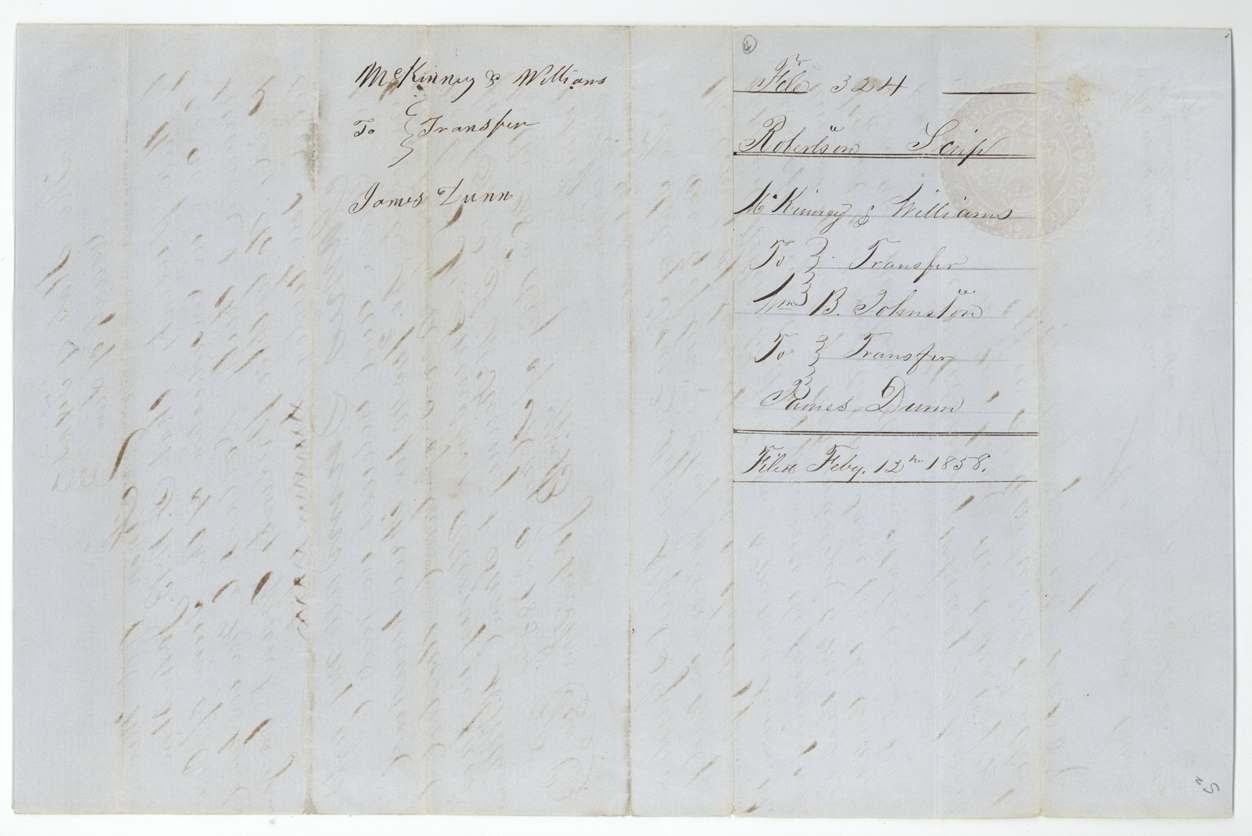
- 29 Jul 1857William B. Johnston → James Dunn, $130, Centreville, Leon County. Certificate 2/4541. Both transfers filed in the GLO 12 Feb 1858.
The survey
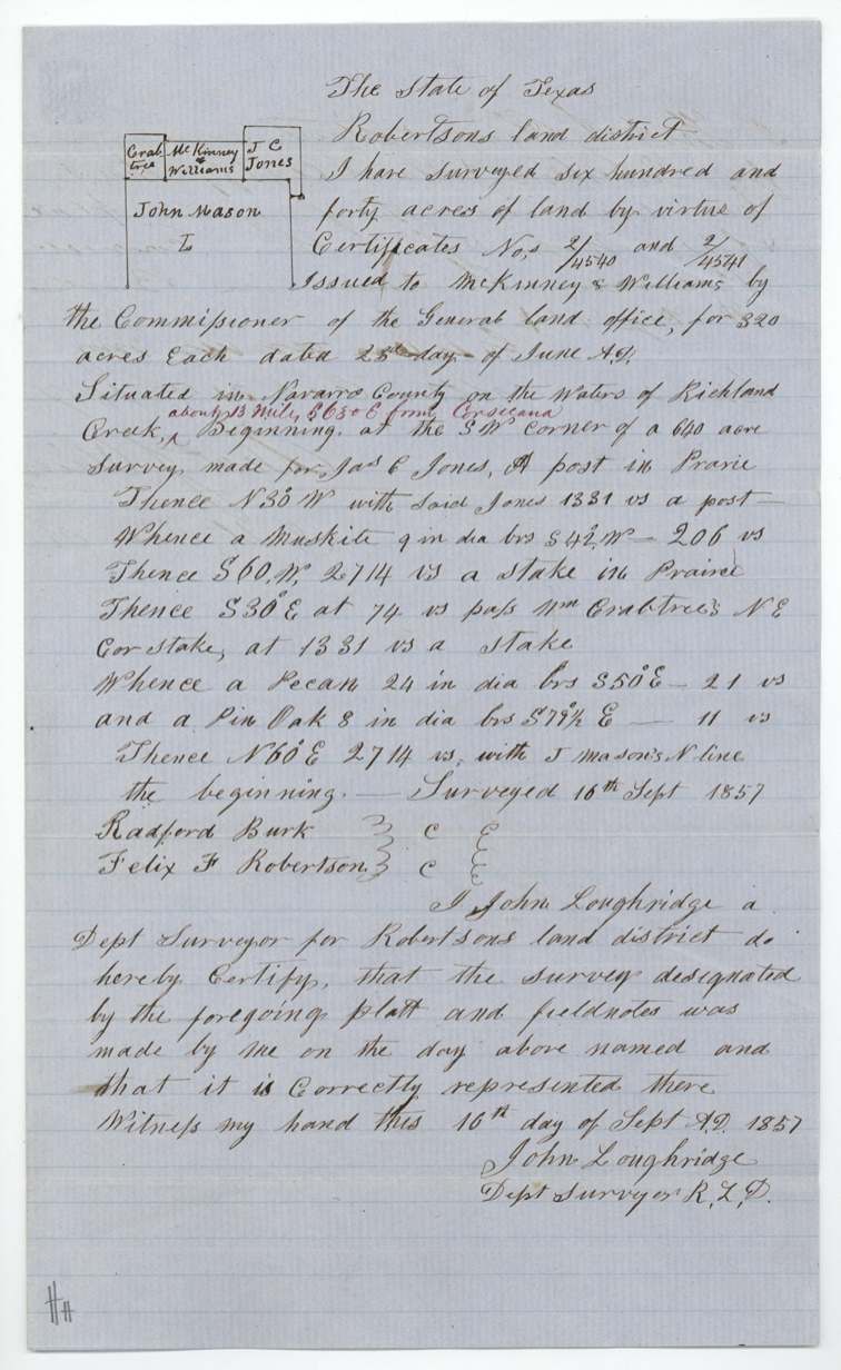
16 Sep 1857, John Loughridge, Deputy Surveyor, Robertson Land District.
Navarro County, on the waters of Richland Creek, about 13 miles S 65 E from Corsicana (later insertion in red ink)
Chain carriers: Radford Burk, Felix F. Robertson.
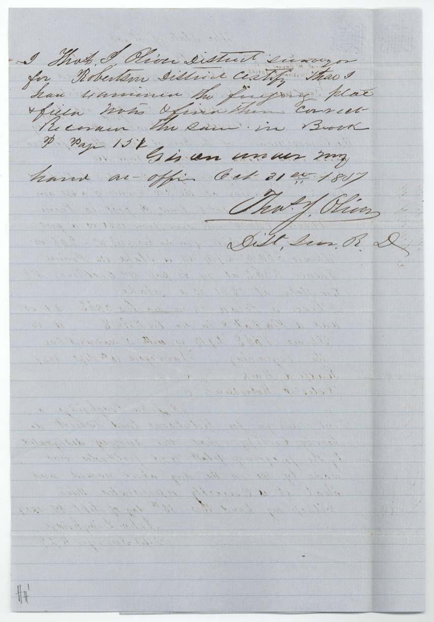
Book P, page 151
The patent
7 Dec 1860, No. 765, Vol. 14, to James Dunn, assignee, delivered to J. M. White(?).
Also in the file
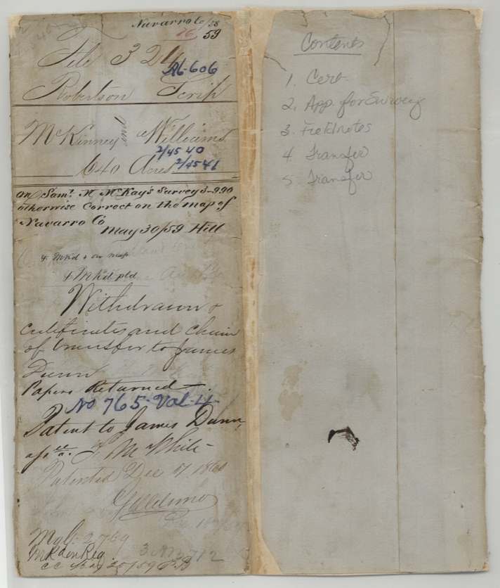
- A late map check (May 1859) found the survey overlapped or touched a survey for Saml. W. McKay(?), though otherwise correct on the Navarro County map.
- The certificates were sold twice in two months for the same price, $130 per 320 acres (about 40 cents an acre), first by McKinney & Williams's Austin agent to William B. Johnston, then by Johnston to James Dunn.
- On the Johnston-to-Dunn transfer of 2/4540, another buyer's name (apparently 'Sanders White') was erased and James Dunn written in before signing.
- The certificates are fragments of a single huge 1845 scrip certificate for 108,816 acres issued to McKinney & Williams, being cashed out in 320-acre pieces twelve years later.
Timeline
- 23 Jun 1845Land Scrip Certificate No. 70/169 for 108,816 acres issued to McKinney & Williams by Commissioner Thos. Wm. Ward
- 26 May 1857GLO issues certificates 2/4540 and 2/4541 (320 acres each) from the unlocated balance
- 28 May 1857McKinney & Williams, by S. M. Swenson, sell both certificates to William B. Johnston for $130 each, Austin
- 29 Jul 1857Johnston sells both to James Dunn for $130 each, Centreville, Leon County
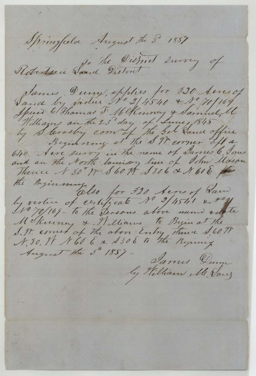
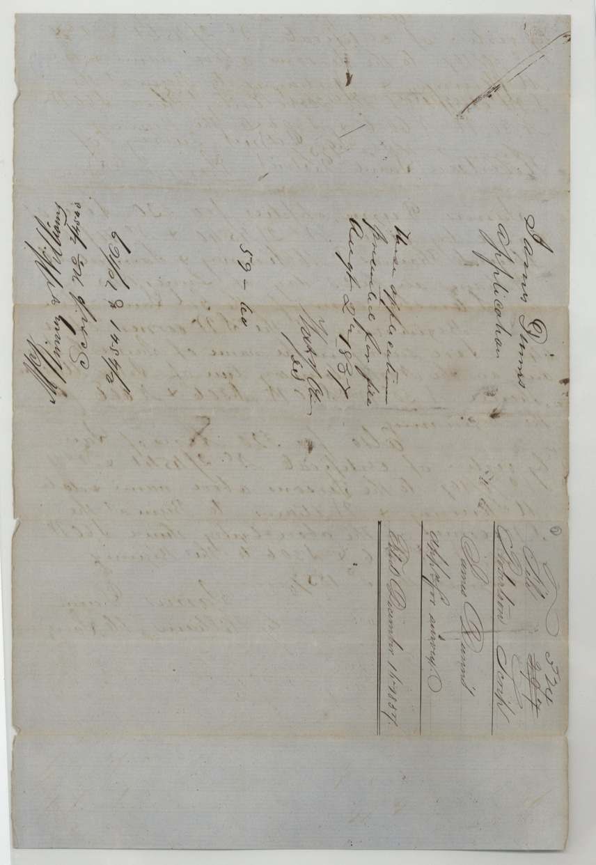
- 3 Aug 1857James Dunn applies for survey at Springfield
- 16 Sep 1857John Loughridge surveys 640 acres on Richland Creek waters
- 31 Oct 1857Field notes examined and recorded, Book P p. 151
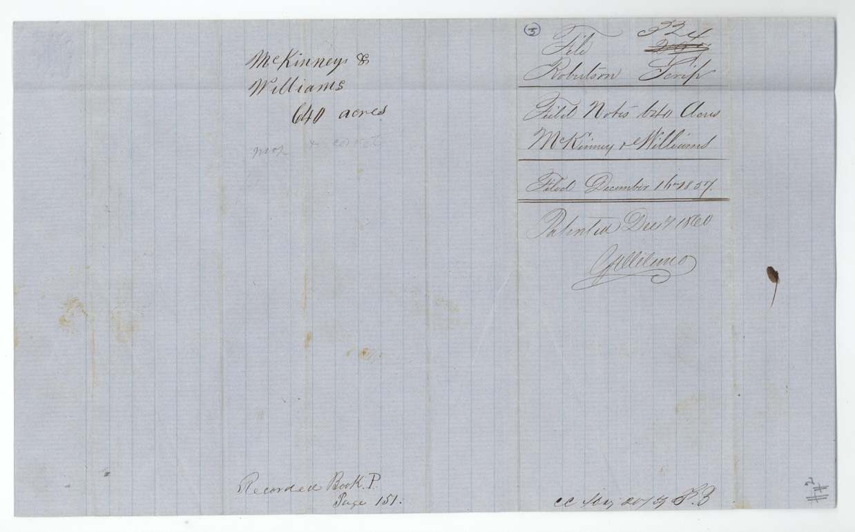
- 16 Dec 1857Field notes and application filed in GLO
- 12 Feb 1858Transfers filed in GLO
- 30 May 1859Map check: on McKay(?) survey, otherwise correct
- 7 Dec 1860Patent No. 765 Vol. 14 to James Dunn, assignee
The papers in the file
Every page of the Land Office file, in the order the Land Office keeps them (15 pages). Tap a page to see it larger.
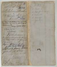 File jacketFile jacket for the McKinney and Williams scrip survey of 640 acres in Navarro County, with the patent to James Dunn noted in December 1860.General Land Office, file 324, page 1 · in the scan
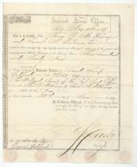 CertificateLand Office scrip certificate No. 2/4540 for 320 acres, issued at Austin on 26 May 1857 from the McKinney and Williams scrip of 1845.General Land Office, file 324, page 2 · in the scan
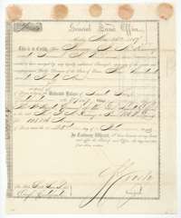 CertificateLand Office scrip certificate No. 2/4541 for 320 acres, issued at Austin on 26 May 1857 from the McKinney and Williams scrip of 1845.General Land Office, file 324, page 3 · in the scan
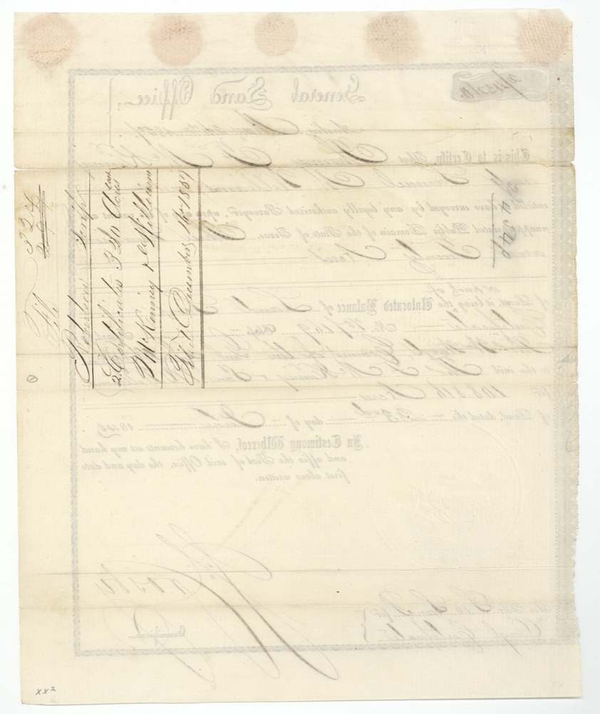
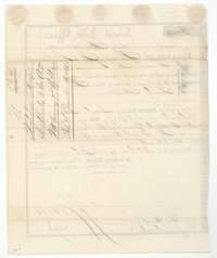 Back of the certificateBack of the scrip certificate, with the Land Office docket for the two 320-acre certificates of McKinney and Williams.General Land Office, file 324, page 4 · in the scan
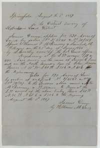 Other papersApplication of 3 August 1857 by James Dunn to the Robertson district surveyor for two 320-acre tracts on the McKinney and Williams certificates.General Land Office, file 324, page 5 · in the scan
 WrapperFiling wrapper for James Dunn's application for survey on the McKinney and Williams certificates, 1857.General Land Office, file 324, page 6 · in the scan
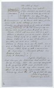 Field notesField notes for 640 acres on Richland Creek in Navarro County, surveyed 16 September 1857 by deputy surveyor John Loughridge for McKinney and Williams.General Land Office, file 324, page 7 · in the scan
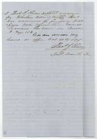 Surveyor's certificateDistrict surveyor's certificate of 31 October 1857 that the field notes were examined and recorded in Book P, page 151.General Land Office, file 324, page 8 · in the scan
 WrapperField-notes wrapper for the McKinney and Williams 640 acres, filed in the Land Office in December 1857.General Land Office, file 324, page 9 · in the scan
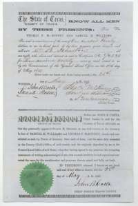 TransferTransfer of certificate 2/4540, 320 acres, from Thomas F. McKinney and Samuel M. Williams to William B. Johnston for $130, signed at Austin 28 May 1857.General Land Office, file 324, page 10 · in the scan
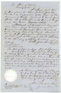 TransferTransfer of certificate 2/4540, 320 acres, from William B. Johnston to James Dunn for $130, signed at Centreville, Leon County, 29 July 1857.General Land Office, file 324, page 11 · in the scan
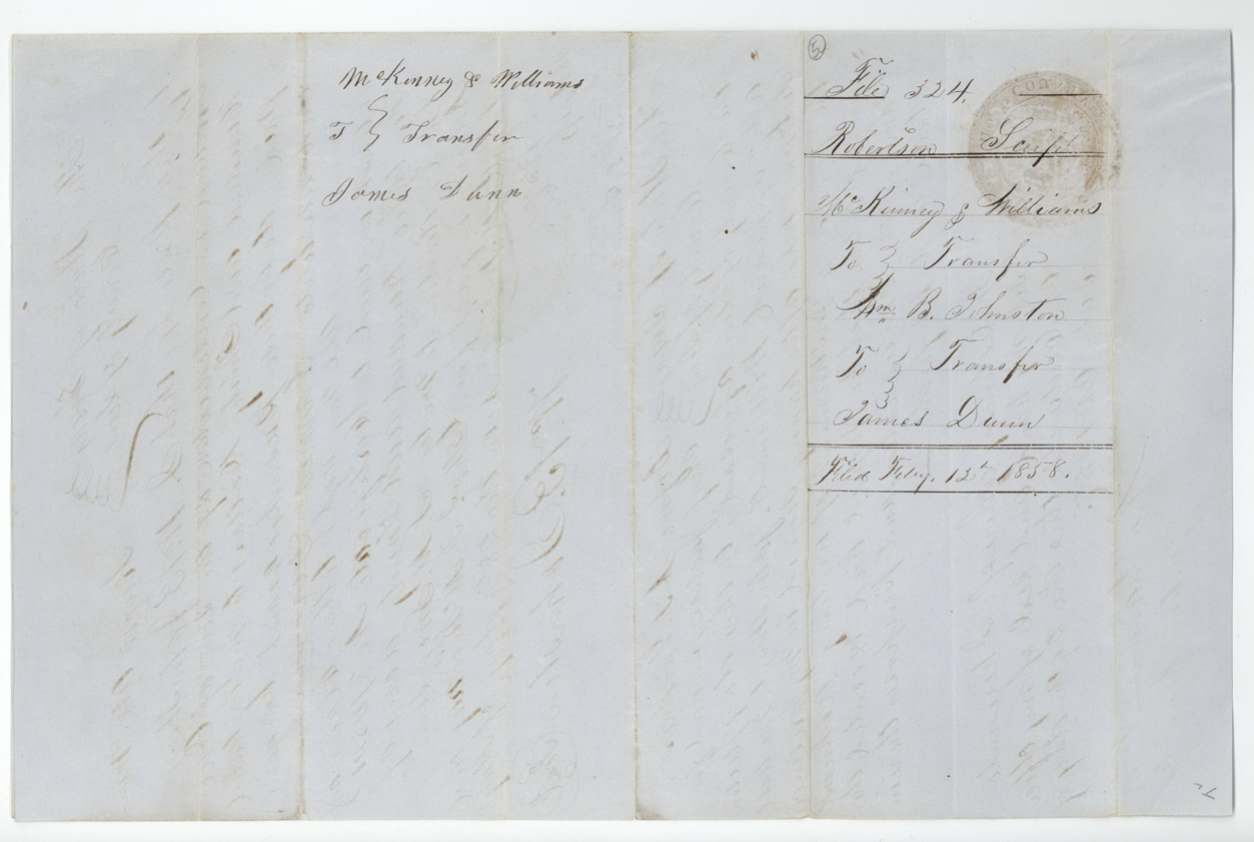
 WrapperFiling wrapper for the transfers of the McKinney and Williams certificate to William B. Johnston and James Dunn, filed 12 February 1858.General Land Office, file 324, page 12 · in the scan
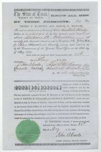 TransferTransfer of certificate 2/4541, 320 acres, from Thomas F. McKinney and Samuel M. Williams to William B. Johnston for $130, signed at Austin 28 May 1857.General Land Office, file 324, page 13 · in the scan
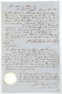 TransferTransfer of certificate 2/4541, 320 acres, from William B. Johnston to James Dunn for $130, signed at Centreville, Leon County, 29 July 1857.General Land Office, file 324, page 14 · in the scan
 WrapperFiling wrapper for the transfers of the McKinney and Williams certificate to William B. Johnston and James Dunn, filed 12 February 1858.General Land Office, file 324, page 15 · in the scan
Scans courtesy of the Texas General Land Office, Austin, from its Land Grant Database.
Neighbouring surveys
Sources
- Texas General Land Office, Land Grant Database: Navarro County, Abstract 606
- The Land Office file, scanned (PDF, at the General Land Office)
- 1924 map: courtesy of the Texas General Land Office, Austin, Map 73249, used under licence. Topo: U.S. Geological Survey, The National Map. Aerial photographs: U.S. Department of Agriculture, National Agriculture Imagery Program, 2012, 2018 and 2022. Survey outlines: Railroad Commission of Texas, Original Texas Land Survey. Grant records and files: Texas General Land Office.