Blackland TX · ← All the original surveys
Meredith Whitaker Survey, Abstract 835
- Granted to
- Meredith Whitaker
- Kind of grant
- Headright, second classLand for settlers who came between independence and 1 October 1837.
- Land Office file
- Robertson 2nd class, file 245
- Certificate
- No. 389
- Acres
- 1280
- Patented to
- William B. Lofton
- Patent
- 22 Jan 1850 · No. 362, Vol. 3
Tap a survey to open its page.
What the file shows
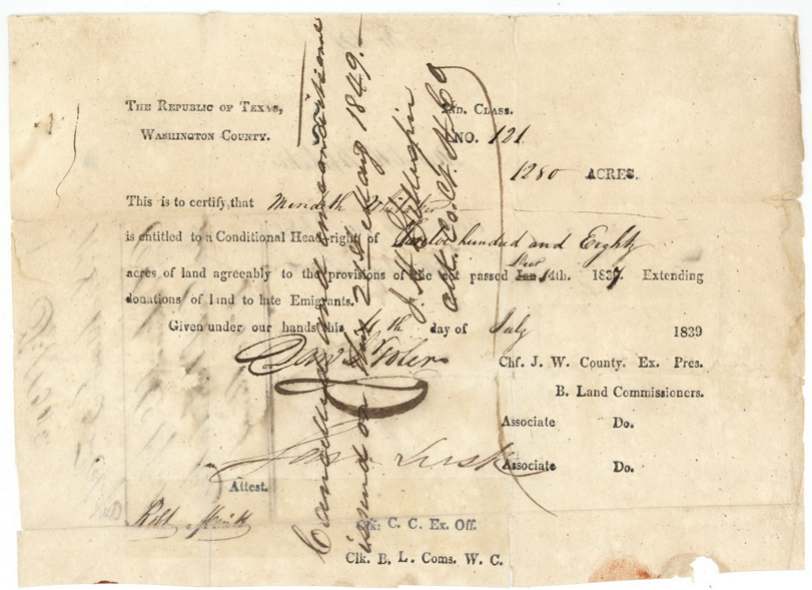
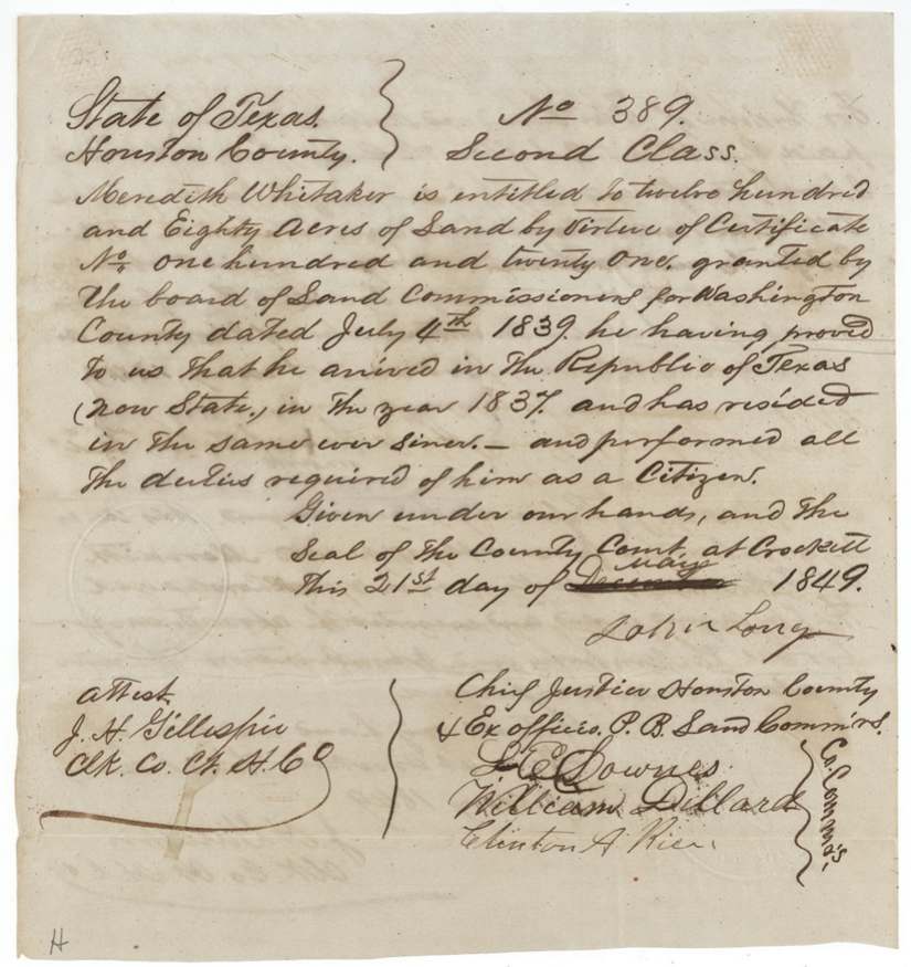
Meredith Whitaker, who came to Texas in 1837, received a conditional second-class headright of 1280 acres (No. 121) from the Washington County Board on 4 July 1839, and it was certified genuine in the 1840 fraud review. B. J. Chambers surveyed it on 9 October 1840 as a square tract on the waters of Chambers Creek, later described as about 14 miles west of Corsicana. On 21 May 1849 the Houston County Board at Crockett made the certificate unconditional (No. 389), and that same day Whitaker, signing by his mark, sold it to William B. Lofton for $500. The patent (No. 362, Vol. 3) issued to Lofton as assignee on 22 January 1850.
The certificate
headright 2nd class, No. Conditional No. 121; unconditional No. 389, 1280 acres, Conditional: Board of Land Commissioners, Washington County — Dan'l(?) Toler(?), Chief Justice & ex officio President, Jas.(?) Lusk(?), associate, attest Robt. Smith(?), clerk. Unconditional: Board of Land Commissioners, Houston County — John Long, Chief Justice & ex officio President; L. E. Downes, William Dillard, Clinton A. Rice(?), commissioners; attest J. H. Gillespie, Clerk County Court, Washington County (1839); Crockett, Houston County (1849), Conditional 1839-07-04; unconditional 1849-05-21.
Conditional headright of 1280 acres to a late emigrant (printed form cites the act extending donations of land to late emigrants). Unconditional certificate: he proved he arrived in the Republic of Texas in 1837, has resided in it ever since, and performed all the duties of a citizen. (1280 acres in 2nd class = a married man.)
Changes of hand
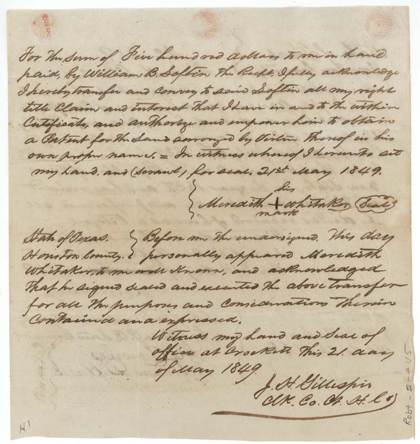
- 21 May 1849Meredith Whitaker (signed by his mark) → William B. Lofton, $500, Crockett, Houston County. Written on the back of the unconditional certificate the same day it was issued; transfers all right in the certificate and authorises Lofton to take the patent in his own name.
The survey
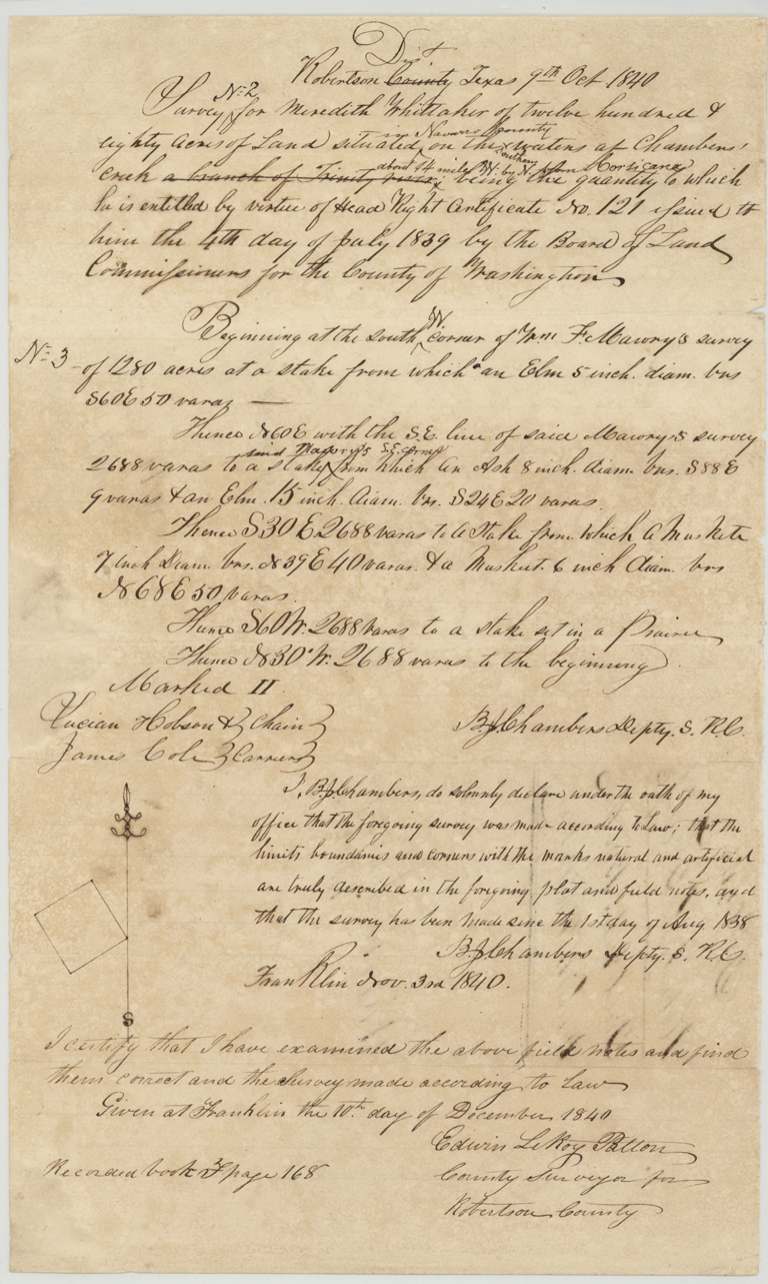
1840-10-09 (oath at Franklin 1840-11-03), B. J. Chambers, Deputy Surveyor, Robertson County.
Waters of Chambers Creek (original text 'a branch of Trinity River' struck); later insertions 'in Navarro County' and 'about 14 miles W by N(?) from Corsicana'
Chain carriers: Lucian Hobson, James Cole.
Book F(?), page 168
The patent
22 Jan 1850, No. 362, Vol. 3, to William B. Lofton, assignee.
Also in the file
- Whitaker signed the sale of his 1280-acre headright by his mark (he could not, or did not, sign his name), on the very same day the certificate was made unconditional — and sold it for $500.
- The survey was made in 1840, years before the certificate was made unconditional in 1849; Navarro County did not yet exist, so the location was added later as 'in Navarro County, 14 miles from Corsicana'.
- The tract was at one point carried as Ellis County abstract 1123 before being moved wholly to Navarro County.
- The certificate passed the 1840 fraud review — many Texas headright certificates were struck as fraudulent at that time.
Timeline
- 1837Meredith Whitaker arrives in the Republic of Texas (per 1849 certificate)
- 4 Jul 1839Washington County Board issues conditional certificate No. 121 for 1280 acres
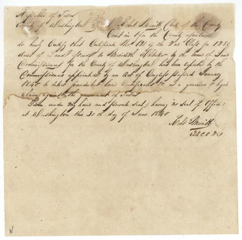
- 30 Jun 1840Certificate certified genuine by the fraud-review commissioners
- 9 Oct 1840B. J. Chambers surveys 1280 acres on Chambers Creek
- 10 Dec 1840Field notes approved by Edwin LeRoy Patton, Franklin; recorded Book F(?) p. 168
- 21 May 1849Houston County Board issues unconditional certificate No. 389 at Crockett
- 21 May 1849Whitaker sells the certificate to William B. Lofton for $500
- 7 Aug 1849Checked correct on map (Creuzbaur)
- 22 Jan 1850Patent No. 362 Vol. 3 to William B. Lofton, assignee
The papers in the file
Every page of the Land Office file, in the order the Land Office keeps them (10 pages). Tap a page to see it larger.
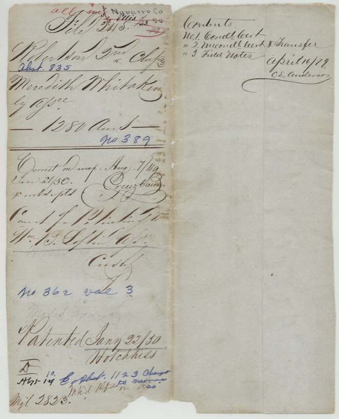
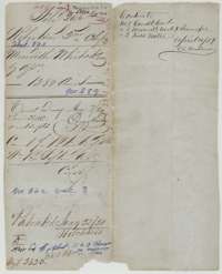 File jacketFile jacket for Meredith Whitaker's headright, 1,280 acres, listing the conditional and unconditional certificates, transfer and field notes.General Land Office, file 245, page 1 · in the scan
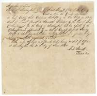 CertificateWashington County clerk's certificate of 30 June 1840 that Meredith Whitaker's certificate No. 121 was reported genuine by the commissioners.General Land Office, file 245, page 2 · in the scan
 WrapperFiling wrapper for the county clerk's certificate on Meredith Whitaker's headright.General Land Office, file 245, page 3 · in the scan
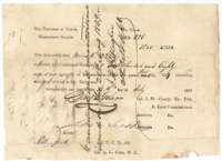 CertificateConditional headright certificate No. 121 for 1,280 acres issued to Meredith Whitaker by the Washington County land board, 4 July 1839.General Land Office, file 245, page 4 · in the scan
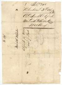 WrapperFiling wrapper for the conditional certificate of Meredith Whitaker, 1,280 acres, Robertson 2nd Class.General Land Office, file 245, page 5 · in the scan
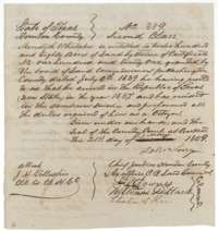 CertificateUnconditional certificate No. 389 for 1,280 acres issued to Meredith Whitaker by the Houston County land board at Crockett, 21 May 1849.General Land Office, file 245, page 6 · in the scan
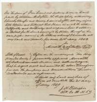 TransferTransfer of 21 May 1849 in which Meredith Whitaker sells his certificate for 1,280 acres to William B. Lofton for $500, acknowledged at Crockett.General Land Office, file 245, page 7 · in the scan
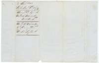 WrapperFiling wrapper for the unconditional certificate and transfer of Meredith Whitaker to William B. Lofton.General Land Office, file 245, page 8 · in the scan
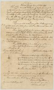 Field notesField notes for 1,280 acres for Meredith Whitaker on Chambers Creek, surveyed by deputy surveyor B. J. Chambers, 9 October 1840, with plat and county surveyor's certificate.General Land Office, file 245, page 9 · in the scan
 WrapperDocket wrapper for the Whitaker field notes, 1,280 acres, noting the patent of January 1850.General Land Office, file 245, page 10 · in the scan
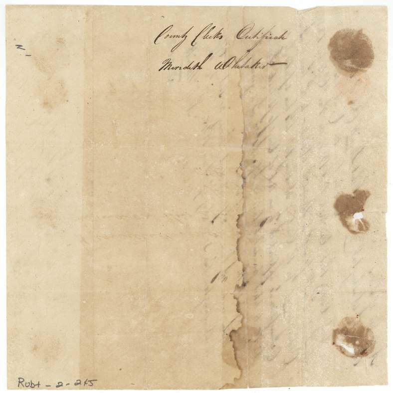
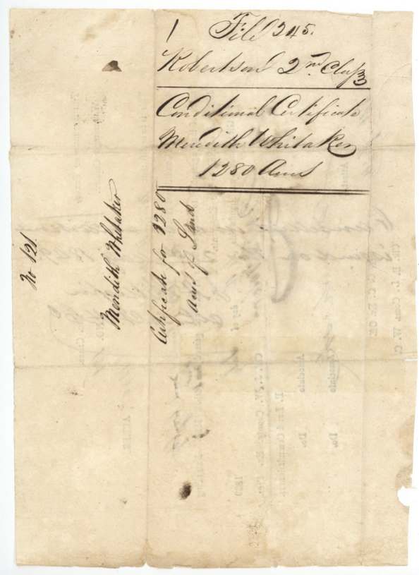
Scans courtesy of the Texas General Land Office, Austin, from its Land Grant Database.
Neighbouring surveys
Sources
- Texas General Land Office, Land Grant Database: Navarro County, Abstract 835
- The Land Office file, scanned (PDF, at the General Land Office)
- 1924 map: courtesy of the Texas General Land Office, Austin, Map 73249, used under licence. Topo: U.S. Geological Survey, The National Map. Aerial photographs: U.S. Department of Agriculture, National Agriculture Imagery Program, 2012, 2018 and 2022. Survey outlines: Railroad Commission of Texas, Original Texas Land Survey. Grant records and files: Texas General Land Office.