Blackland TX · ← All the original surveys
John Huffman Survey, Abstract 403
- Granted to
- John Huffman
- Kind of grant
- Donation warrantLand given for the battles of 1835–36: Bexar, the Alamo, San Jacinto.
- Land Office file
- Robertson Donation, file 376
- Certificate
- No. 336
- Acres
- 640
- Patented to
- John Huffman
- Patent
- 28 Sep 1849 · No. 218, Vol. 1
Tap a survey to open its page.
What the file shows
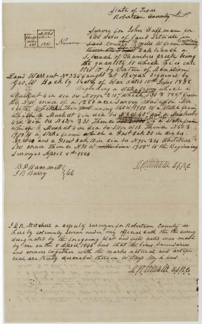
John Huffman fought at the siege and storming of Bexar in December 1835 and received a 640-acre donation certificate at Houston in June 1838, which he could not sell during his lifetime. He made James C. Neill his attorney to locate it. Deputy surveyor D. R. Mitchell surveyed the land on 8 April 1846 on a Post Oak branch of Chambers Creek, about 16 miles west of Corsicana, beside the M. Whitaker survey, and the patent issued to Huffman himself on 28 September 1849.
The certificate
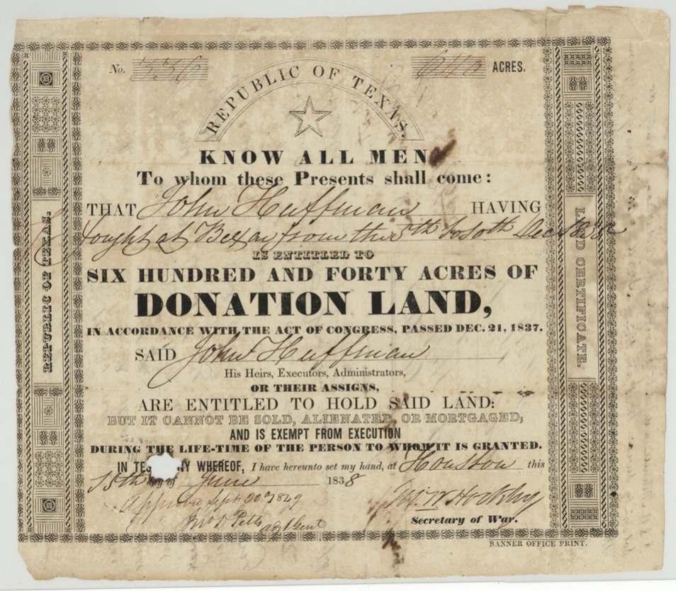
donation, No. 336, 640 acres, G. W. Hockley, Secretary of War, Republic of Texas, Houston, 15 Jun 1838.
Fought at Bexar from the 5th to the 10th of December 1835 (the siege and storming of Bexar); 640 acres of donation land under the act of Congress of 21 December 1837
Changes of hand
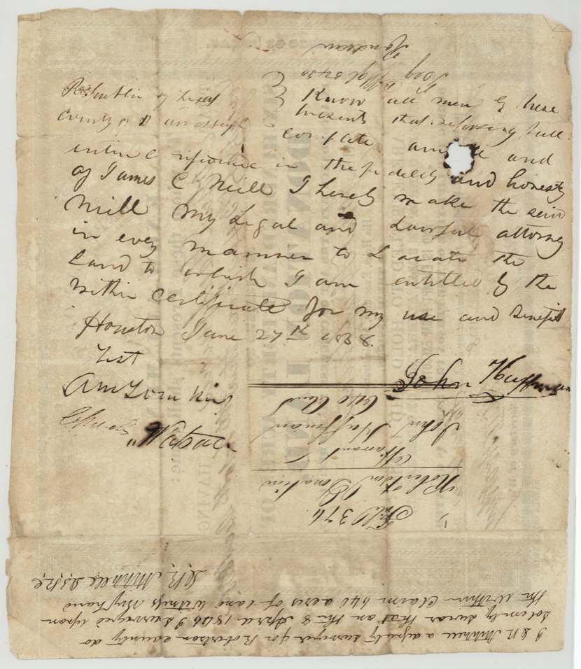
- 27 Jun 1838John Huffman → James C. Neill (attorney, not a sale), Houston. Power of attorney written on the back of the certificate making Neill his lawful attorney to locate the land 'for my use and benefit'. Consistent with the certificate's ban on sale during Huffman's lifetime.
The survey
8 Apr 1846, D. R. Mitchell, Deputy Surveyor, Robertson County.
Navarro (added; 'said county' struck), about 16 miles W from Corsicana ('Trinity River' struck), on Post Oak branch, a south branch of Chambers Creek
Chain carriers: B. P. Hammett(?), J. B. Barry.
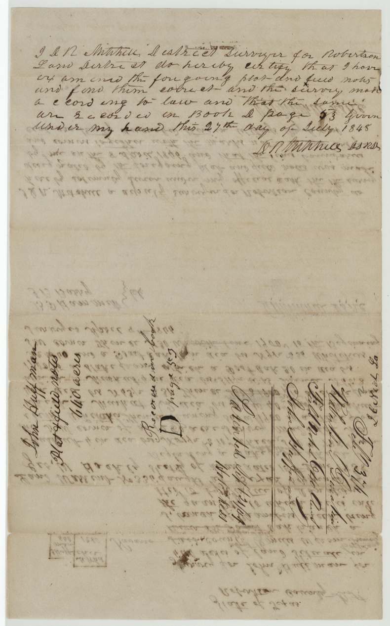
Book D, page 53
The patent
28 Sep 1849, No. 218, Vol. 1, to John Huffman (original grantee), delivered to D. W.(?) Henderson, Jan 14, 1850.
Also in the file
- Huffman's land came to him for fighting in the storming of Bexar (San Antonio), 5-10 December 1835 — one of the first battles of the Texas Revolution.
- Donation land could not legally be sold during the soldier's lifetime, so instead of selling the certificate Huffman appointed James C. Neill as his attorney to locate it.
- The certificate waited eight years to be surveyed (1838 to 1846) and three more to be patented (1849).
- The survey was first described as west of the Trinity River in Robertson County, then corrected to 16 miles west of Corsicana in Navarro County.
Timeline
- 1835-12-05/10John Huffman fights at Bexar
- 15 Jun 1838640-acre donation certificate No. 336 issued at Houston
- 27 Jun 1838Huffman gives James C. Neill power of attorney to locate the land
- 8 Apr 1846D. R. Mitchell surveys 640 acres on Post Oak branch of Chambers Creek
- 27 Jul 1848Field notes examined and recorded, Book D p. 53
- 19 Sep 1849Checked correct on map (Creuzbaur)
- 20 Sep 1849Certificate approved by Adj. Gen. Jno. D. Pitts
- 28 Sep 1849Patent No. 218 Vol. 1 issued to John Huffman
- 14 Jan 1850Patent delivered to D. W.(?) Henderson
The papers in the file
Every page of the Land Office file, in the order the Land Office keeps them (5 pages). Tap a page to see it larger.
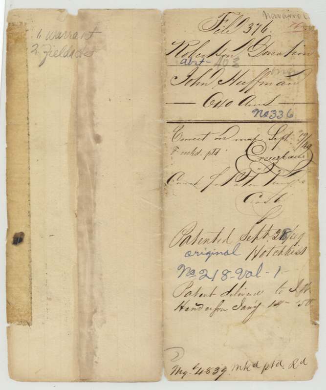
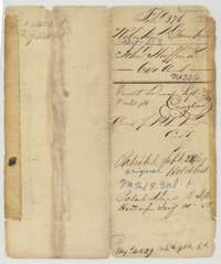 File jacketFile jacket for John Huffman's 640-acre donation land in Navarro County, Robertson Donation, with the patent entry of 28 September 1849.General Land Office, file 376, page 1 · in the scan
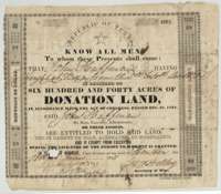 CertificateDonation land certificate No. 336 for 640 acres, issued at Houston on 15 June 1838 to John Huffman for fighting at Bexar in December 1835.General Land Office, file 376, page 2 · in the scan
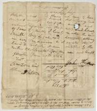 Power of attorneyBack of the certificate, with John Huffman's power of attorney of 27 June 1838 naming James C. Neill to locate the land, and the surveyor's oath.General Land Office, file 376, page 3 · in the scan
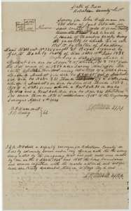 Field notesField notes and sketch of 640 acres on Post Oak branch, Navarro County, surveyed for John Huffman by deputy surveyor D. R. Mitchell, 8 April 1846.General Land Office, file 376, page 4 · in the scan
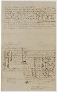 Surveyor's certificateDistrict surveyor D. R. Mitchell's certificate of 27 July 1848 that the Huffman survey is correct and recorded in Book D, page 53, with the filing wrapper.General Land Office, file 376, page 5 · in the scan
Scans courtesy of the Texas General Land Office, Austin, from its Land Grant Database.
Neighbouring surveys
Sources
- Texas General Land Office, Land Grant Database: Navarro County, Abstract 403
- The Land Office file, scanned (PDF, at the General Land Office)
- 1924 map: courtesy of the Texas General Land Office, Austin, Map 73249, used under licence. Topo: U.S. Geological Survey, The National Map. Aerial photographs: U.S. Department of Agriculture, National Agriculture Imagery Program, 2012, 2018 and 2022. Survey outlines: Railroad Commission of Texas, Original Texas Land Survey. Grant records and files: Texas General Land Office.