Blackland TX · ← All the original surveys
Graham Jackson Survey, Abstract 431
- Granted to
- Graham Jackson
- Kind of grant
- Headright, third classLand for later settlers, including the colonists of Mercer’s Colony.
- Land Office file
- Robertson 3rd class, file 2465
- Certificate
- No. 15
- Acres
- 160
- Patented to
- Isaac Kelly
- Patent
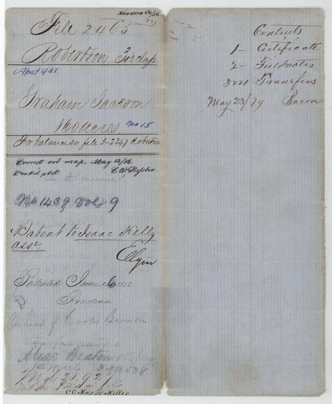
- 16 Jun 1856 · No. 1439, Vol. 9
Tap a survey to open its page.
What the file shows
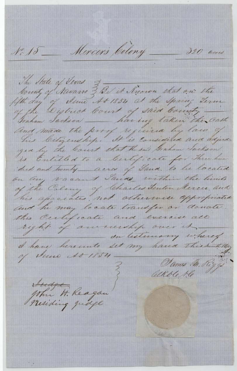
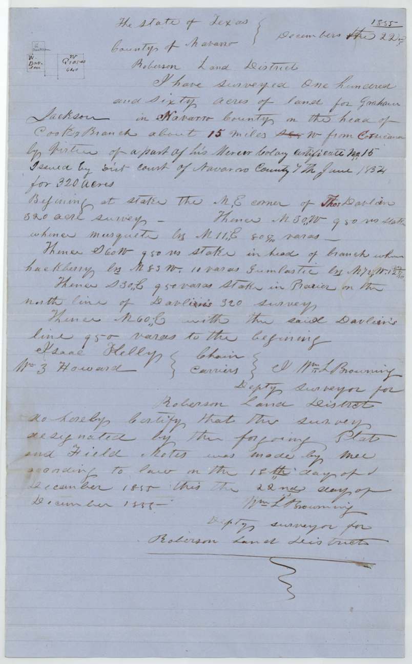
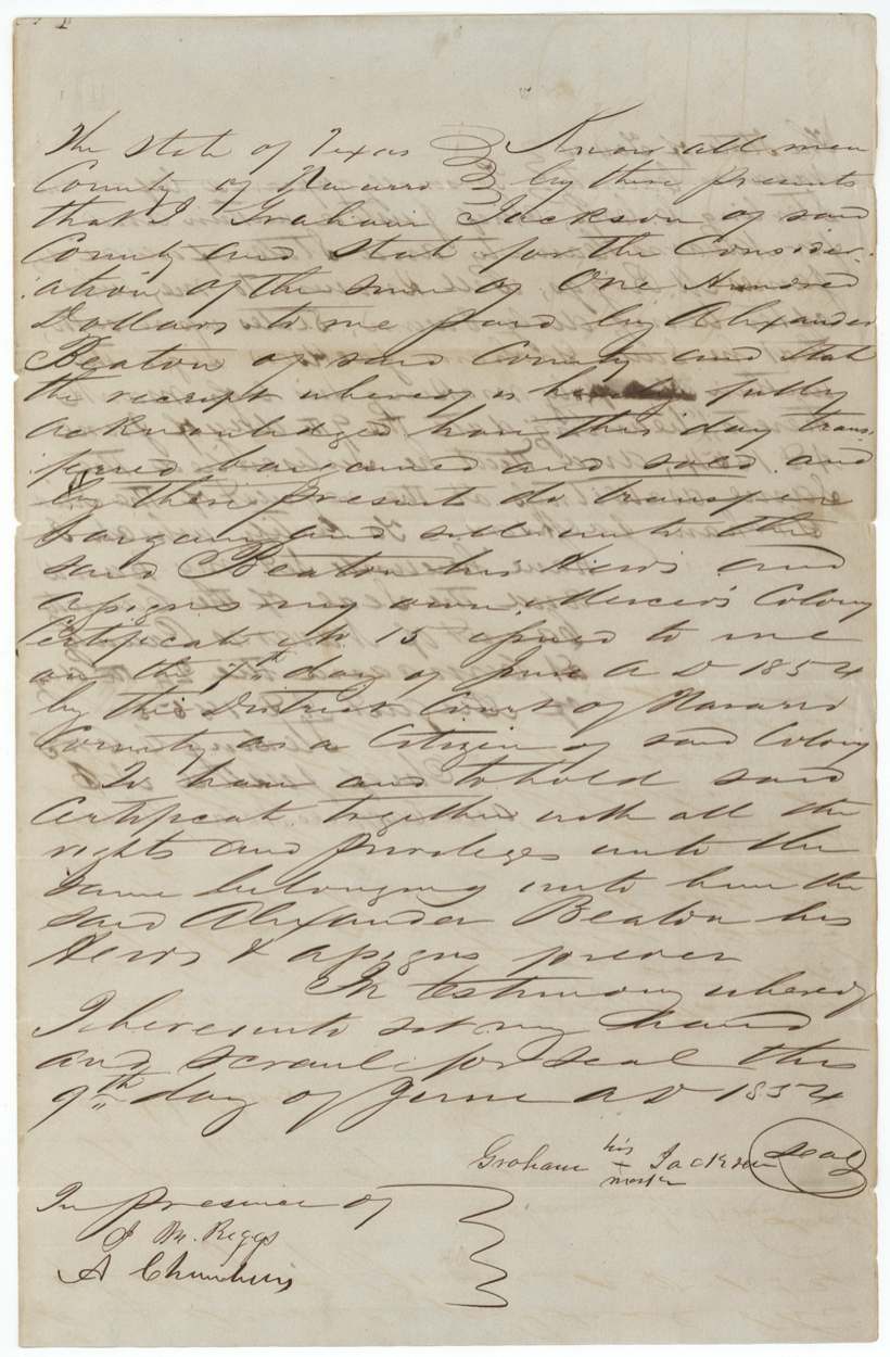
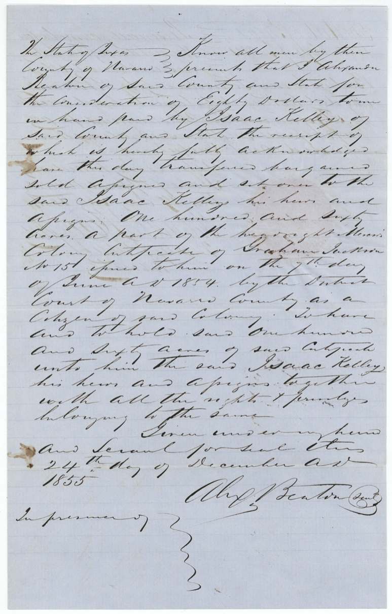
On 5 June 1854 the Navarro County District Court, John H. Reagan presiding, adjudged Graham Jackson a citizen of Mercer's Colony entitled to 320 acres, and certificate No. 15 issued on 7 June. Two days later Jackson, signing by his mark, sold the whole certificate to Alexander Beaton for $100. In December 1855 Deputy Surveyor Wm. L. Browning located 160 acres of it on the head of Cooks Branch about 15 miles W of Corsicana, adjoining Thos. Davlin, with Isaac Kelly as a chain carrier, and Beaton sold those 160 acres to Kelly for $80. The patent (No. 1439 Vol. 9) issued to Isaac Kelly as assignee in June 1856; the other 160 acres are in file Robertson 3-2347.
The certificate
other — Mercer's Colony colonist certificate (filed Robertson 3rd class), No. 15, 320 (this file patents 160; balance in file Robertson 3-2347), District Court of Navarro County, Spring Term — John H. Reagan, Presiding Judge; James M. Riggs, Clk D.C. N.C., Navarro County, 1854-06-05 adjudged; certificate signed 1854-06-07.
Graham Jackson took the oath and made the proof required by law of his citizenship [as a citizen of Mercer's Colony]; the court adjudged him entitled to a certificate for 320 acres to be located on any vacant land within the limits of the colony of Charles Fenton Mercer and his associates, not otherwise appropriated.
Changes of hand
- 9 Jun 1854Graham Jackson, of Navarro County (signs by his mark) → Alexander Beaton, of Navarro County, $100, Navarro County. Whole of Mercer's Colony certificate No. 15 (320 acres), sold two days after issue. Seal 'by scrawl'.
- 24 Dec 1855Alexander Beaton, of Navarro County → Isaac Kelley, of Navarro County, $80, Navarro County. 160 acres, one half of the certificate. Pencil note on the certificate jacket: 'the one half or 160 acres to Wm M. Lone(?) ... Alex Beaton'.
The survey
1855-12-18 (certificate dated 1855-12-22), Wm. L. Browning.
160 acres in Navarro County on the head of Cooks Branch, about 15 miles W (an earlier bearing struck through) from Corsicana, by virtue of a part of his Mercer Colony certificate No. 15 issued by District Court of Navarro County 7 June 1854 for 320 acres; begins at the NE corner of Thos. Davlin's 320-acre survey
Chain carriers: Isaac Kelly, Wm. J.(?) Howard.
Book I(?) page 2
The patent
1856-06-16 (day overwritten, 14 or 16), No. 1439, Vol. 9, to Isaac Kelly, assignee, delivered to jacket: 'May 23/79 Bacon' beside contents list (delivery or later handling, unclear).
Also in the file
- Certificate sold two days after the court issued it.
- One of the two chain carriers on the survey, Isaac Kelly, bought the land the following week and became the patentee.
- Pencil warning 'In the reserve!' on the jacket — possibly a reservation conflict, not explained in the file.
- The Jackson-to-Beaton witness proof is dated 24 Aug 185?, year's last digit unclear.
- Patentee indexed 'Kelly'; deed spells 'Kelley'.
Timeline
- 5 Jun 1854Navarro County District Court, Judge John H. Reagan presiding, adjudges Graham Jackson entitled to a 320-acre Mercer's Colony certificate
- 7 Jun 1854Certificate No. 15 signed by clerk James M. Riggs
- 9 Jun 1854Jackson, by his mark, sells the certificate to Alexander Beaton for $100
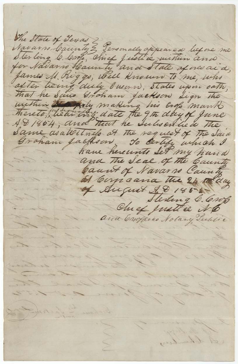
- 24 Aug 1855(year uncertain) J. M. Riggs proves the Jackson deed before Chief Justice Sterling C. Cross(?) at Corsicana
- 18 Dec 1855Wm. L. Browning surveys 160 acres on the head of Cooks Branch, Isaac Kelly carrying chain
- 24 Dec 1855Beaton sells 160 acres of the certificate to Isaac Kelley for $80
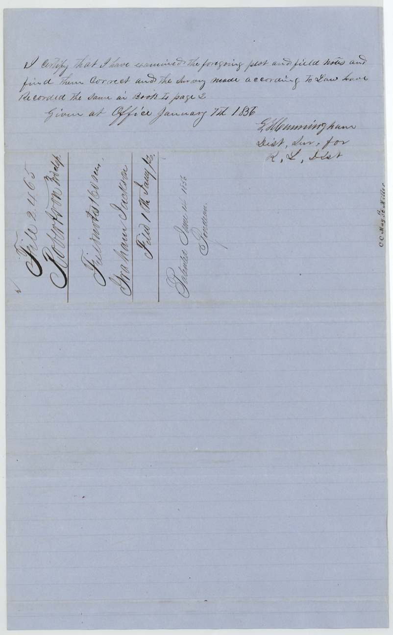
- 7 Jan 1856District surveyor records field notes, Book I(?) p. 2
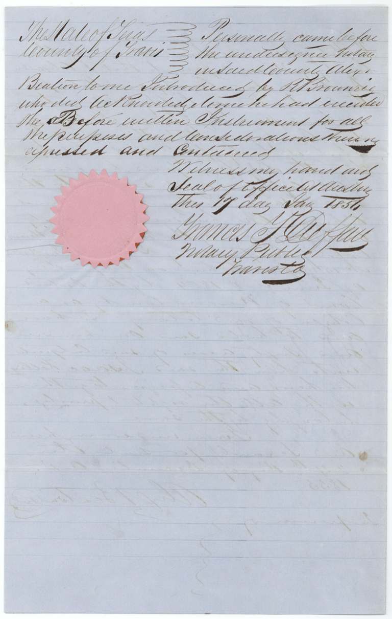
- 17 Jan 1856Beaton acknowledges the deed at Austin
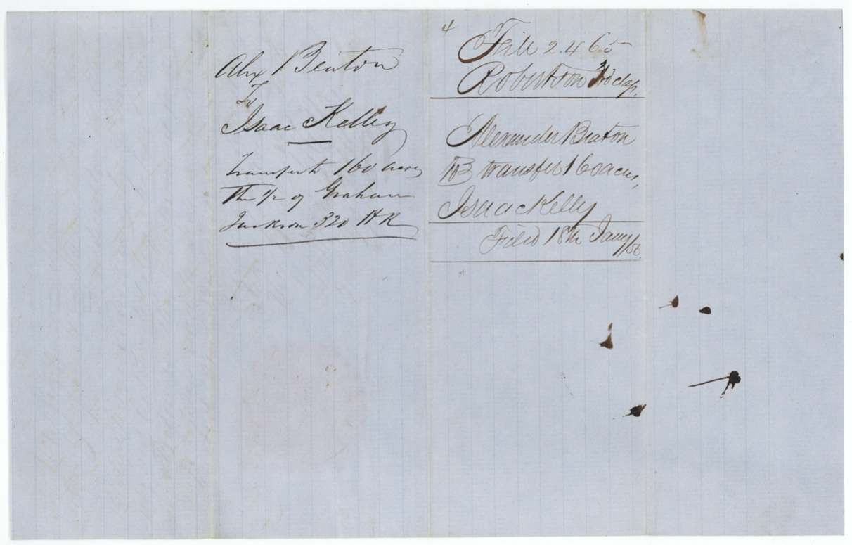
- 18 Jan 1856Papers filed at the GLO
- 13 May 1856Correct on map (C. W. Pressler)
- 16 Jun 1856Patent No. 1439 Vol. 9 to Isaac Kelly, assignee
The papers in the file
Every page of the Land Office file, in the order the Land Office keeps them (11 pages). Tap a page to see it larger.
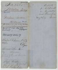 File jacketFile jacket for Graham Jackson's 160-acre Mercer's Colony survey on Cooks Branch, noting the patent of June 1856 to Isaac Kelly as assignee.General Land Office, file 2465, page 1 · in the scan
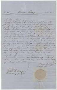 CertificateMercer's Colony certificate No. 15 for 320 acres, granted to Graham Jackson by the Navarro County District Court, 7 June 1854.General Land Office, file 2465, page 2 · in the scan
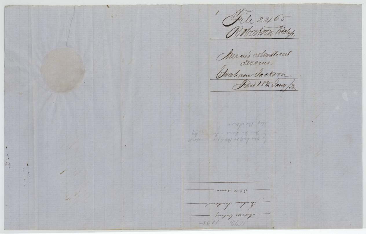
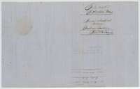 WrapperBack of the certificate, with the docket naming Graham Jackson and the Land Office filing note of 18 January 1856.General Land Office, file 2465, page 3 · in the scan
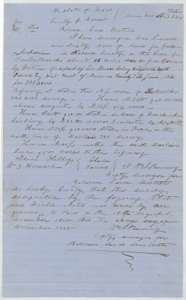 Field notesField notes for 160 acres on the head of Cooks Branch, surveyed for Graham Jackson by deputy surveyor Wm. L. Browning, 18 December 1855, with a small plat.General Land Office, file 2465, page 4 · in the scan
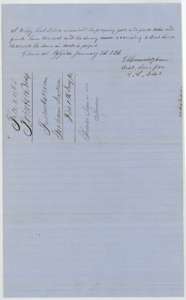 Surveyor's certificateDistrict surveyor's certificate of 7 January 1856 that the plat and field notes were correct and recorded, with the docket and filing note of 18 January 1856.General Land Office, file 2465, page 5 · in the scan
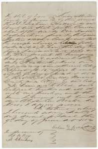 TransferTransfer from Graham Jackson, signing by his mark, to Alexander Beaton of his 320-acre Mercer's Colony certificate for $100, 9 June 1854.General Land Office, file 2465, page 6 · in the scan
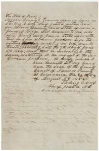 TransferProof of Jackson's transfer to Beaton, sworn by witness James M. Riggs before the Chief Justice of Navarro County at Corsicana.General Land Office, file 2465, page 7 · in the scan
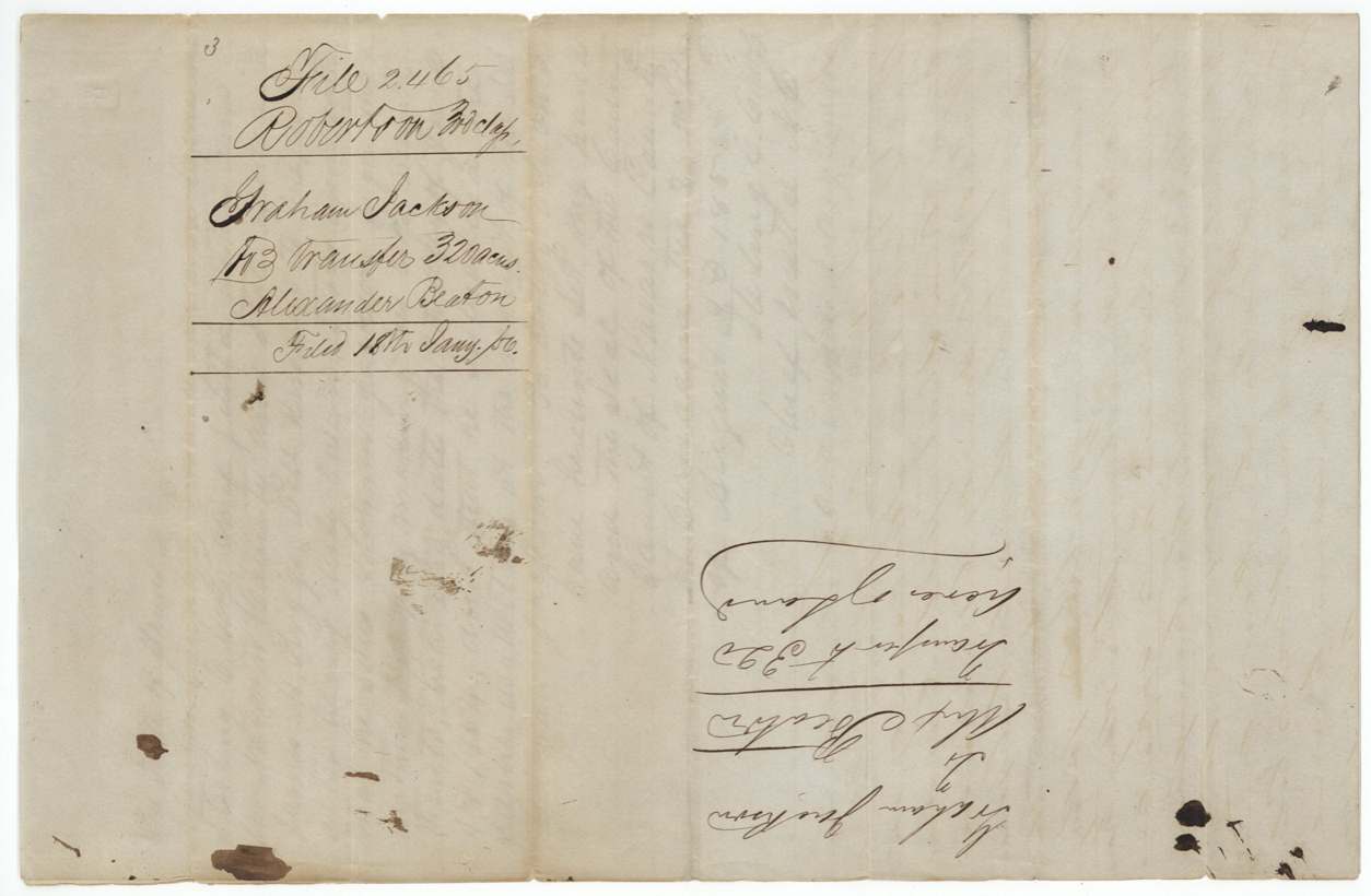
 WrapperBack of the Jackson transfer, with the docket and the Land Office filing note of 18 January 1856.General Land Office, file 2465, page 8 · in the scan
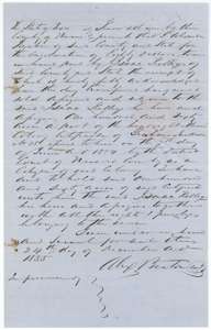 TransferTransfer from Alexander Beaton to Isaac Kelley of 160 acres, half of the Graham Jackson certificate, for $80, 24 December 1855.General Land Office, file 2465, page 9 · in the scan
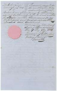 TransferNotary's acknowledgment of Beaton's transfer to Kelley, taken at Austin in January 1856, with seal.General Land Office, file 2465, page 10 · in the scan
 WrapperBack of the Beaton transfer, with the docket and the Land Office filing note of 18 January 1856.General Land Office, file 2465, page 11 · in the scan
Scans courtesy of the Texas General Land Office, Austin, from its Land Grant Database.
Neighbouring surveys
Sources
- Texas General Land Office, Land Grant Database: Navarro County, Abstract 431
- The Land Office file, scanned (PDF, at the General Land Office)
- 1924 map: courtesy of the Texas General Land Office, Austin, Map 73249, used under licence. Topo: U.S. Geological Survey, The National Map. Aerial photographs: U.S. Department of Agriculture, National Agriculture Imagery Program, 2012, 2018 and 2022. Survey outlines: Railroad Commission of Texas, Original Texas Land Survey. Grant records and files: Texas General Land Office.