Blackland TX · ← All the original surveys
A. Savery Survey, Abstract 780
- Granted to
- A. Savery
- Kind of grant
- Donation warrantLand given for the battles of 1835–36: Bexar, the Alamo, San Jacinto.
- Land Office file
- Robertson Donation, file 775
- Certificate
- No. 4/36
- Acres
- 480
- Patented to
- William W. Oliver
- Patent
- 02 Feb 1860 · No. 755, Vol. 2
Tap a survey to open its page.
What the file shows
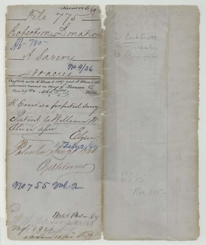
A. Savery, who had been detached on special service during the Battle of San Jacinto, was granted 640 acres of donation land by a special legislative 'Act for the relief of A. Savery' passed 13 Aug 1856, and GLO Commissioner S. Crosby issued certificate No. 4/36 the same day. That same day Savery assigned it to William W. Oliver, with J. J. Grumbles proving the signature in Travis County. Deputy surveyor Isaac Walker located 480 acres of it on 17 Aug 1857 about 12 miles west of Corsicana, adjoining A. Eastwood and Howard Dillard, recorded in Robertson District Book R p. 277. After a map conflict with the forfeited H. Evers survey and J. Blum was cleared, the patent (No. 755 Vol. 2) issued to William W. Oliver as assignee on 31 Jan 1860.
The certificate
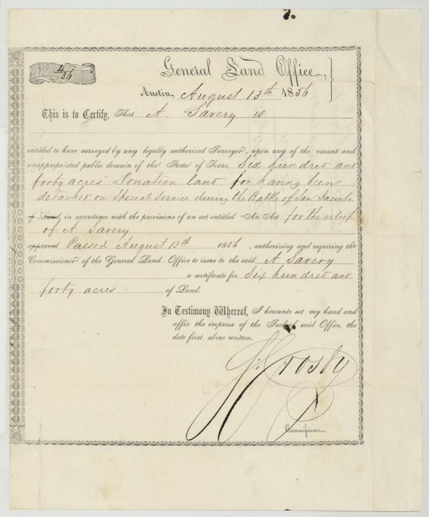
donation (by special act of the Legislature; jackets also call it 'Don. Warrant' and 'Bounty Warrant'), No. 4/36, 640 (this file patents 480), S. Crosby, Commissioner of the General Land Office, Austin, 13 Aug 1856.
Six hundred and forty acres donation land 'for having been detached on special service during the Battle of San Jacinto', under 'An Act for the relief of A. Savery' passed 13 Aug 1856, which authorised and required the Commissioner to issue the certificate.
Changes of hand
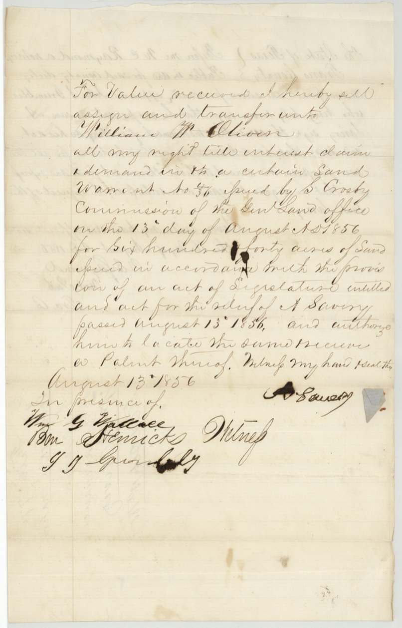
- 13 Aug 1856A. Savery → William W. Oliver, 'for value received' — no sum stated, [Austin, Travis County, per acknowledgment]. Assigns all right, title, interest in land warrant No. 4/36 for 640 acres and authorises Oliver to locate and receive patent. Signed the same day the relief act passed and the certificate issued.
The survey
1857-08-17 (certificate dated 1857-09-21), Isaac Walker.
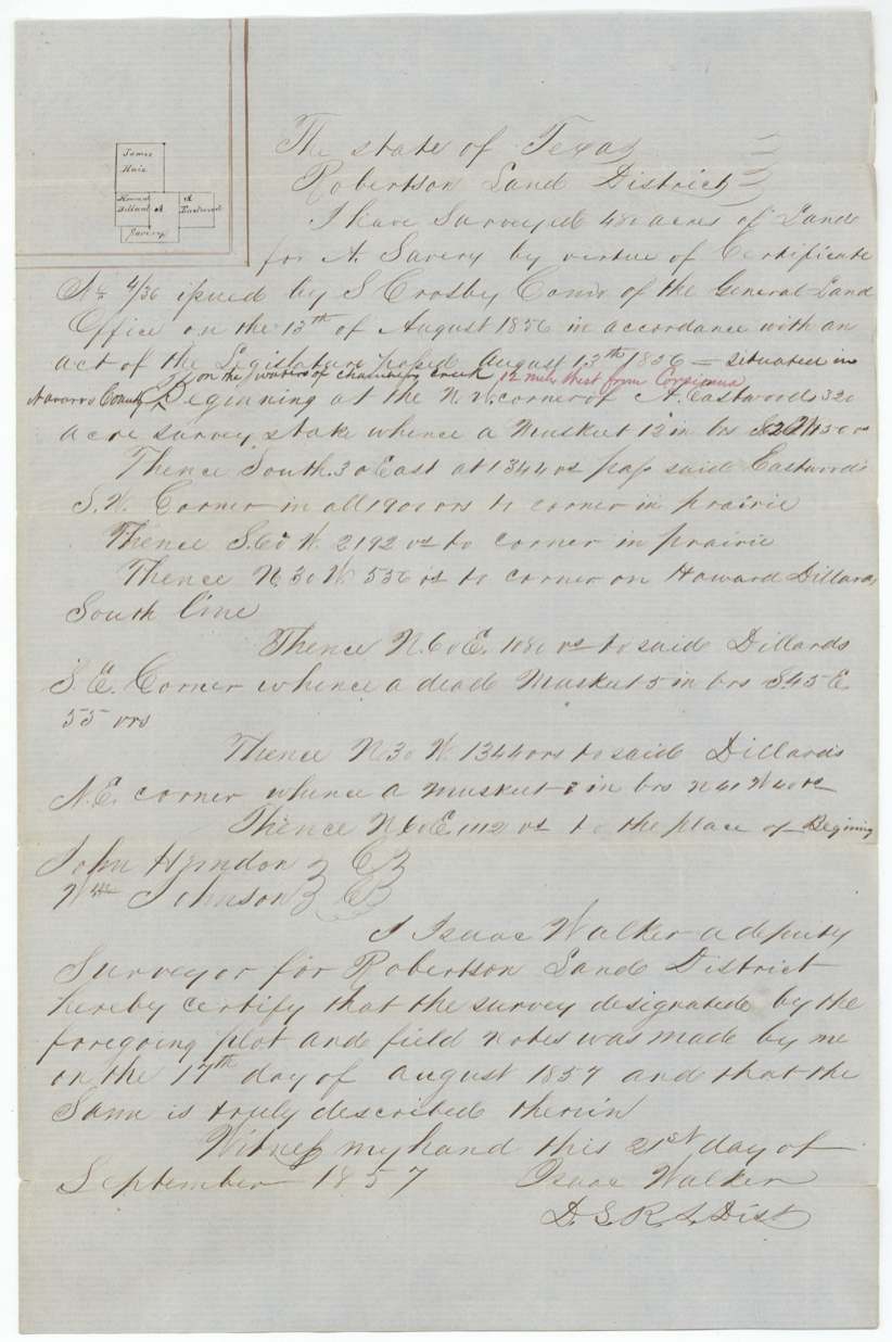
480 acres in Navarro County on the waters of Chambers(?) Creek, 12 miles West from Corsicana [red-ink interlineation]; begins at NW corner of A. Eastwood's 320-acre survey
Chain carriers: John Herndon, Wm Johnson.
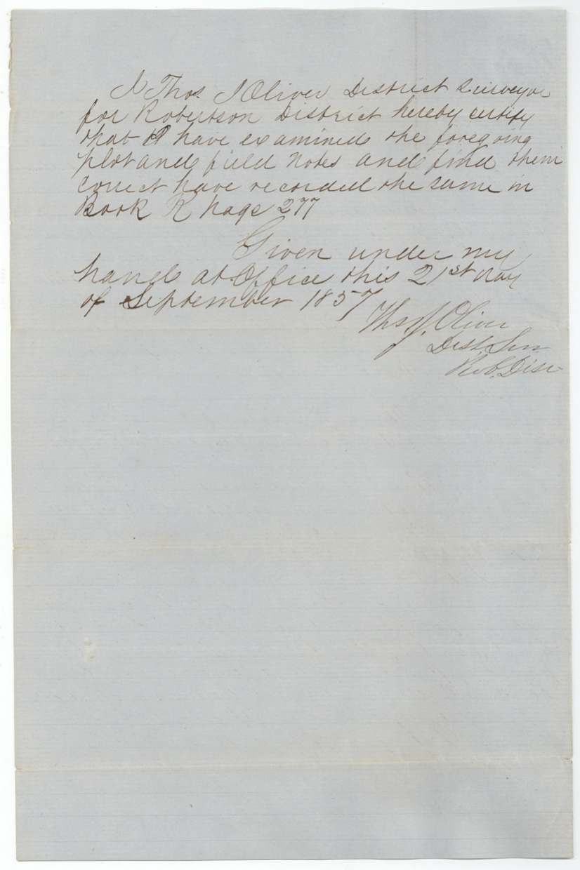
Book R, page 277
The patent
1860-01-31 (outer jacket overwritten in blue 'Feby 2/60'), No. 755, Vol. 2, to William W. Oliver, assignee, delivered to not stated; 'Mailed Pd in Reg' and pencil 'W. W. Oliver 4 AB 3168(?)'.
Also in the file
- The certificate exists because the Legislature passed a private relief act for one man — A. Savery — twenty years after San Jacinto, for being 'detached on special service' during the battle.
- Savery assigned the certificate to William W. Oliver the same day the act passed and the certificate issued.
- Survey conflicted on the GLO map with H. Evers (3-1067) and J. Blum (2-291); cleared because the Evers survey was forfeited.
- 640-acre certificate, 480 acres surveyed here; where the other 160 went is not in this file.
- The surveyed land was recorded by District Surveyor Thos. J. Oliver; the assignee is William W. Oliver — possible kin, not stated.
- Patent date 31 Jan 1860 on the field notes jacket, overwritten 'Feby 2/60' on the outer jacket.
- Grantee indexed as 'Savery, A' with no given name anywhere in the file.
Timeline
- 21 Apr 1836Battle of San Jacinto, during which A. Savery was 'detached on special service' (per certificate)
- 13 Aug 1856Legislature passes 'An Act for the relief of A. Savery'; GLO Commissioner S. Crosby issues certificate No. 4/36 for 640 acres; Savery assigns it to William W. Oliver
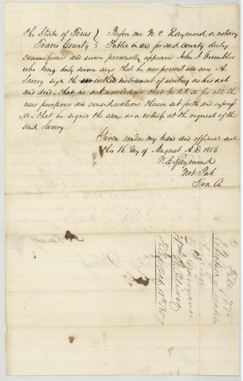
- 16 Aug 1856J. J. Grumbles proves the assignment before N. C. Raymond, Travis County
- 17 Aug 1857Isaac Walker surveys 480 acres 12 miles W of Corsicana, adjoining A. Eastwood and Howard Dillard
- 21 Sep 1857Thos. J. Oliver records in Book R p. 277
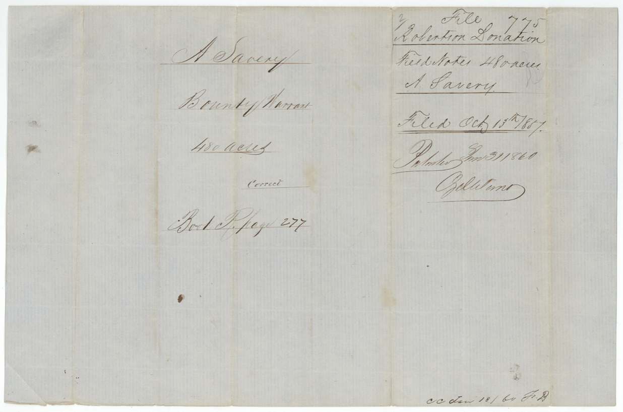
- 13 Oct 1857Certificate, field notes and conveyance filed at GLO
- 21 Jan 1860Map check: conflicts with H. Evers and J. Blum; Evers survey forfeited
- 31 Jan 1860Patent No. 755 Vol. 2 to William W. Oliver, assignee
The papers in the file
Every page of the Land Office file, in the order the Land Office keeps them (8 pages). Tap a page to see it larger.
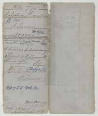 File jacketFile jacket for A. Savery's 480 acres in Navarro County, a donation land certificate patented to the assignee William W. Oliver in January 1860.General Land Office, file 775, page 1 · in the scan
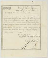 CertificateLand Office donation certificate for 640 acres issued to A. Savery at Austin on 13 August 1856 for special service during the Battle of San Jacinto.General Land Office, file 775, page 2 · in the scan
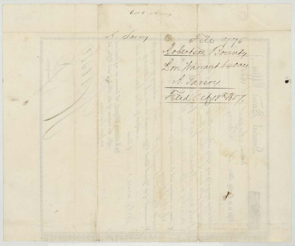
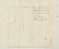 Back of the certificateBack of the donation certificate, with the Land Office filing note for A. Savery's warrant, filed 13 October 1857.General Land Office, file 775, page 3 · in the scan
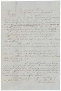 Field notesField notes and plat for 480 acres on Chambers Creek, surveyed 17 August 1857 by deputy surveyor Isaac Walker for A. Savery.General Land Office, file 775, page 4 · in the scan
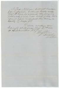 Surveyor's certificateDistrict surveyor Thomas J. Oliver's certificate of 21 September 1857 that the Savery field notes were examined and recorded in Book R, page 277.General Land Office, file 775, page 5 · in the scan
 WrapperField-notes wrapper for A. Savery's 480 acres, filed 13 October 1857 and marked patented in January 1860.General Land Office, file 775, page 6 · in the scan
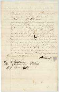 TransferAssignment by A. Savery to William W. Oliver of the donation warrant for 640 acres, signed 13 August 1856 before three witnesses.General Land Office, file 775, page 7 · in the scan
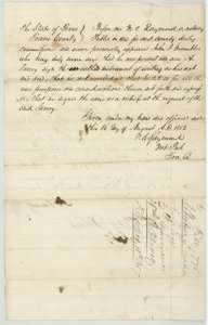 TransferNotary's proof of 16 August 1856 at Travis County that A. Savery signed the assignment to William W. Oliver, with the filing note of October 1857.General Land Office, file 775, page 8 · in the scan
Scans courtesy of the Texas General Land Office, Austin, from its Land Grant Database.
Neighbouring surveys
Sources
- Texas General Land Office, Land Grant Database: Navarro County, Abstract 780
- The Land Office file, scanned (PDF, at the General Land Office)
- 1924 map: courtesy of the Texas General Land Office, Austin, Map 73249, used under licence. Topo: U.S. Geological Survey, The National Map. Aerial photographs: U.S. Department of Agriculture, National Agriculture Imagery Program, 2012, 2018 and 2022. Survey outlines: Railroad Commission of Texas, Original Texas Land Survey. Grant records and files: Texas General Land Office.