Blackland TX · ← All the original surveys
William R. Bowen Survey, Abstract 61
- Granted to
- William R. Bowen
- Kind of grant
- Headright, first classLand for settlers who were in Texas before independence, 2 March 1836.
- Land Office file
- Robertson 1st class, file 1122
- Certificate
- No. 149
- Acres
- 132.36
- Patented to
- Jacob Eliot
- Patent
- 03 Feb 1870 · No. 103, Vol. 18
Tap a survey to open its page.
What the file shows
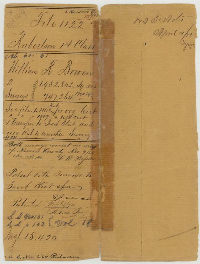
William R. Bowen held Robertson 1st-class headright cert. No. 149 from the Montgomery County board; in Feb 1868 the GLO (Joseph Spence) issued an unlocated-balance certificate on it. In Aug-Sep 1868 Navarro County Surveyor J. M. Eliot located two tracts on it: 348 acres about 23 miles S 20 E of Corsicana (Abst 60) and 132.7 acres 11 1/2 miles west of Corsicana on Briar Creek (Abst 61). The certificate had passed to Jacob Eliot (transfers are in file 1119), and both surveys were patented to him as assignee on 3 Feb 1870 (Pats. 101 and 103, Vol. 18).
The certificate
headright 1st class (located by an unlocated-balance certificate), No. Original cert. No. 149 (Board of Commissioners, Montgomery County); unlocated balance certificate for 17,361,561 sq. varas, Unlocated balance 17,361,561 sq. varas; this file locates 1,952,802 sq. vrs (348 acres) + 747,264 sq. vrs (132.7 acres), Original cert.: Board of Commissioners for Montgomery County; unlocated balance cert.: Joseph Spence, Commissioner General Land Office, Montgomery County (original); Austin GLO (unlocated balance), Unlocated balance certificate 22 Feb 1868; original cert. date not in this file.
Not stated in this file; jacket refers to file 1108 Rob. 1st for the original certificate and file 1119 Rob. for the unlocated balance cert and transfers to Jacob Eliot
Changes of hand
- undatedWilliam R. Bowen (implied) → Jacob Eliot. Jacket: 'see file 1119 ... u/l cert & Transfers to Jacob Eliot'; jacket instructs 'Patent both surveys to Jacob Eliot ass(ignee)'. Transfer papers are in file 1119, not here.
The survey
Field notes certified 29 Sep 1868 (survey date not stated on this sheet), J. M. Eliot.
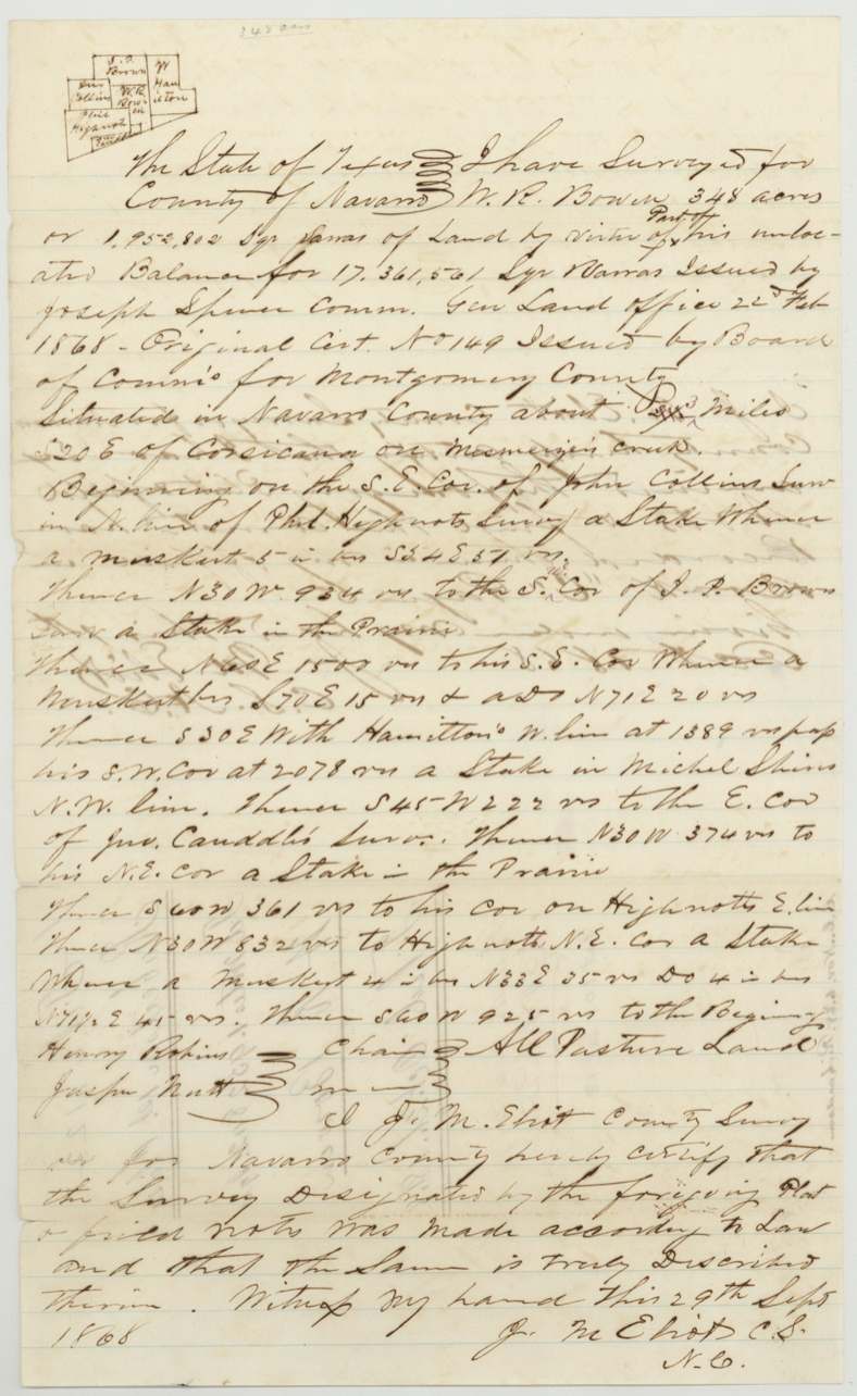
In Navarro County about 23 (corrected from 24?) miles S 20 E of Corsicana on Mesmezies(?) creek. Beginning on the S.E. cor. of John Collins surv. in N. line of Phil. Highnote's surv.; 348 acres or 1,952,802 sq. varas. All pasture land.
Chain carriers: Henry Perkins(?), Jasper Nutt(?).
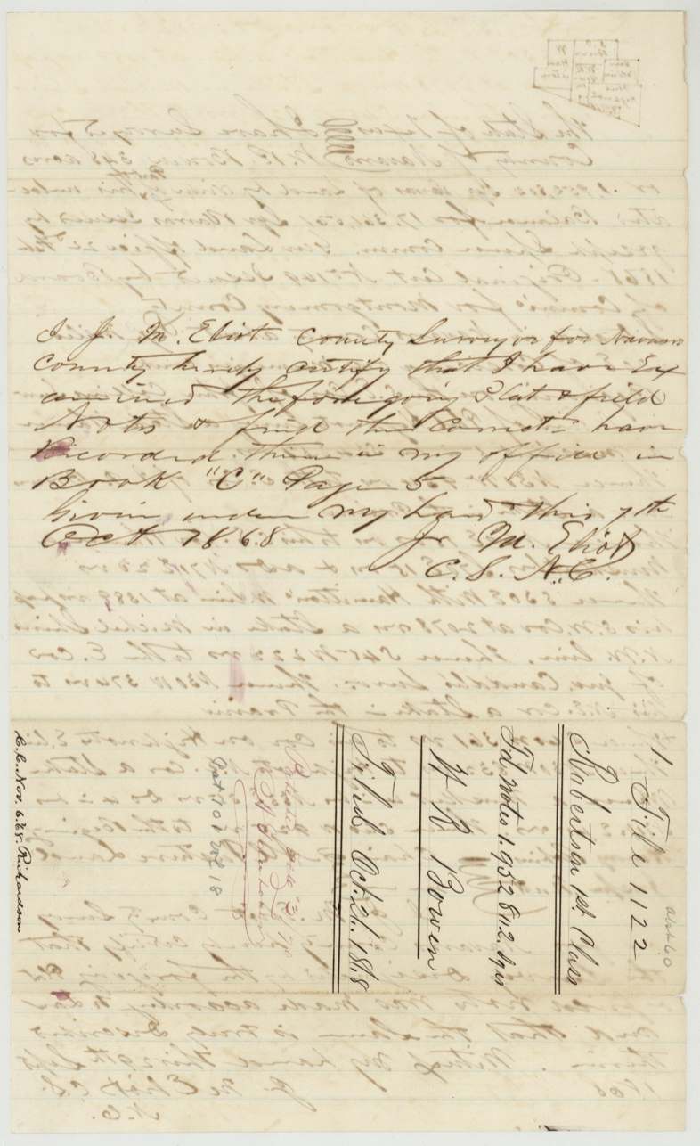
Navarro County Surveyor's office Book C, page 5
The survey
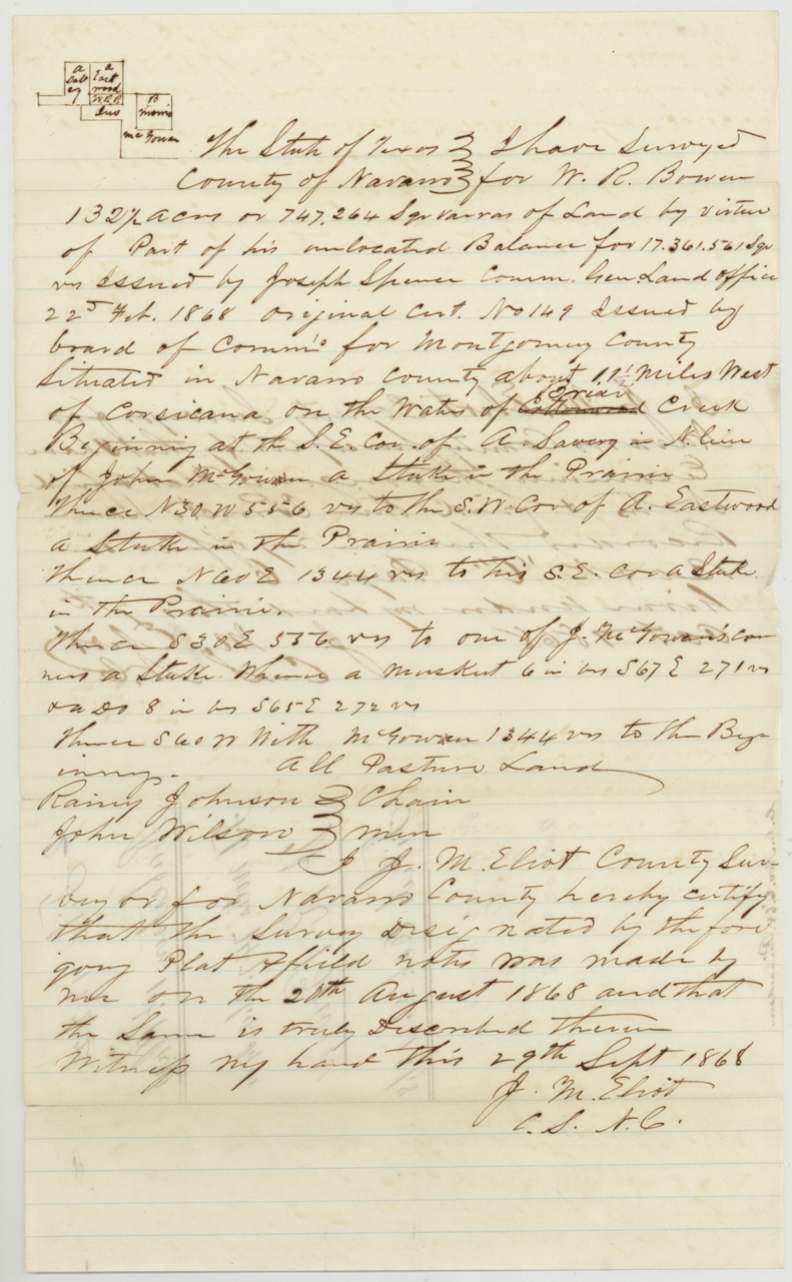
Surveyed 20 Aug 1868; certified 29 Sep 1868, J. M. Eliot.
In Navarro County about 11 1/2 miles West of Corsicana on the waters of Briar Creek (written over a struck-out 'Cottonwood'). Beginning at the S.E. cor. of A. Savery(?) in N. line of John McGowan; 132 7/10 acres or 747,264 sq. varas. All pasture land.
Chain carriers: Rainy(?) Johnson, John Wilson.
Navarro County Surveyor's office Book C, page 6
The patent
3 Feb 1870, Patent No. 101 (348-acre survey) and No. 103 (132.7-acre survey), Vol. 18, to Jacob Eliot, assignee.
Also in the file
- The original certificate (No. 149, Montgomery County board) and the transfers are not in this file; they sit in files 1108 and 1119 Robertson 1st per the jacket.
- Survey 1 distance from Corsicana was altered (24 to 23?) and survey 2 creek name was changed from Cottonwood to Briar.
- The county surveyor who made both surveys (J. M. Eliot) shares a surname with the patentee/assignee (Jacob Eliot); the file does not state any relationship.
- The two surveys are far apart: one about 23 miles SSE of Corsicana, the other 11 1/2 miles W of Corsicana; only the second is Abstract 61.
- Jacket cross-reference reads '1119 Rob 1 another survey' with '1133' written beneath, suggesting a corrected file number.
Timeline
- unknownOriginal headright cert. No. 149 issued to William R. Bowen by Montgomery County Board of Commissioners
- 22 Feb 1868Unlocated balance certificate for 17,361,561 sq. varas issued by Joseph Spence, Commissioner GLO
- 20 Aug 1868J. M. Eliot surveys 132.7 acres 11 1/2 mi W of Corsicana on Briar Creek
- 29 Sep 1868Eliot certifies both sets of field notes
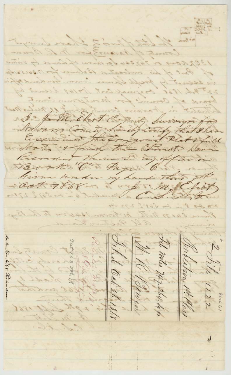
- 7 Oct 1868Field notes recorded, Navarro County Book C pp. 5-6
- 21 Oct 1868Field notes filed in GLO
- 6 Nov 1868Checked ('C.C.') by Richardson
- 9 Nov 1868C. W. Pressler finds both surveys correct on Navarro County map
- 3 Feb 1870Both surveys patented to Jacob Eliot, assignee, Pats. 101 and 103 Vol. 18
- 14 Apr 1879Jacket note on field notes 1 & 2
The papers in the file
Every page of the Land Office file, in the order the Land Office keeps them (5 pages). Tap a page to see it larger.
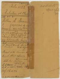 File jacketFile jacket for William R. Bowen's headright balance, covering two surveys patented to Jacob Eliot, with notes dated 1868 to 1870.General Land Office, file 1122, page 1 · in the scan
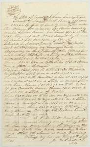 Field notesField notes of 348 acres on a creek south-east of Corsicana surveyed for William R. Bowen's certificate by county surveyor J. M. Eliot, 1868.General Land Office, file 1122, page 2 · in the scan
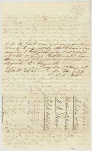 Surveyor's certificateBack of the 348-acre field notes, with surveyor J. M. Eliot's certificates of 29 September and 7 October 1868 and the Land Office filing note.General Land Office, file 1122, page 3 · in the scan
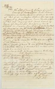 Field notesField notes of 132.7 acres on Briar Creek waters surveyed for William R. Bowen's certificate by county surveyor J. M. Eliot, 20 August 1868.General Land Office, file 1122, page 4 · in the scan
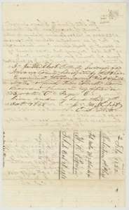 Surveyor's certificateBack of the 132.7-acre field notes, with J. M. Eliot's examination certificate of October 1868 and the filing note of 21 October 1868.General Land Office, file 1122, page 5 · in the scan
Scans courtesy of the Texas General Land Office, Austin, from its Land Grant Database.
Neighbouring surveys
Sources
- Texas General Land Office, Land Grant Database: Navarro County, Abstract 61
- The Land Office file, scanned (PDF, at the General Land Office)
- 1924 map: courtesy of the Texas General Land Office, Austin, Map 73249, used under licence. Topo: U.S. Geological Survey, The National Map. Aerial photographs: U.S. Department of Agriculture, National Agriculture Imagery Program, 2012, 2018 and 2022. Survey outlines: Railroad Commission of Texas, Original Texas Land Survey. Grant records and files: Texas General Land Office.