Blackland TX · ← All the original surveys
John M. Britton Survey, Abstract 116
- Granted to
- John M. Britton
- Kind of grant
- Headright, third classLand for later settlers, including the colonists of Mercer’s Colony.
- Land Office file
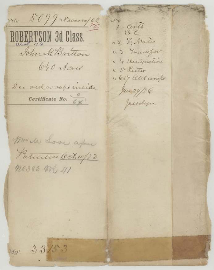
- Robertson 3rd class, file 5099
- Certificate
- No. 0/64
- Acres
- 640
- Patented to
- William M. Love
- Patent
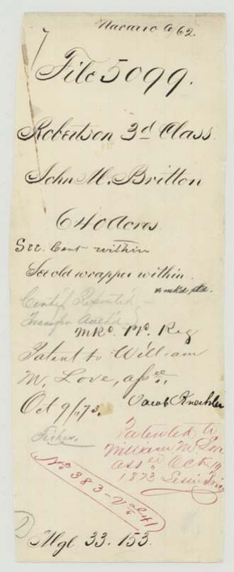
- 10 Oct 1873 · No. 383, Vol. 41
Tap a survey to open its page.
What the file shows
John M. Britton, a single man claiming as a Mercer's Colony settler, obtained a 640-acre certificate (No. 64) from the Navarro County District Court on 23 October 1857. William M. Love, who had testified for him, had bought the right the day before Britton applied, for $128. County surveyor J. M. Eliot located it in October 1861 on Chambers Creek, about 11 miles west of Corsicana, at first overlapping the Shaw and Turnley claims. The court record showed only 320 acres, so the Land Office required a district clerk's report on the certificate's genuineness before patenting the full 640 acres to William M. Love, assignee, on 10 October 1873.
The certificate
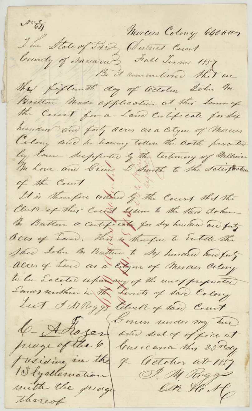
other (Mercer's Colony certificate issued by the Navarro County District Court; filed as Robertson 3rd class), No. 0/64 (No. 64), 640 (but the 1857 court judgment copied in 1873 orders 320 acres), J. M. Riggs, Clerk of the District Court of Navarro County, on order of the court; C. A. Frazer, judge of the 13th(?) district presiding by exchange with the judge thereof, Corsicana, Navarro County, 1857-10-23 (application made 1857-10-15, Fall Term 1857).
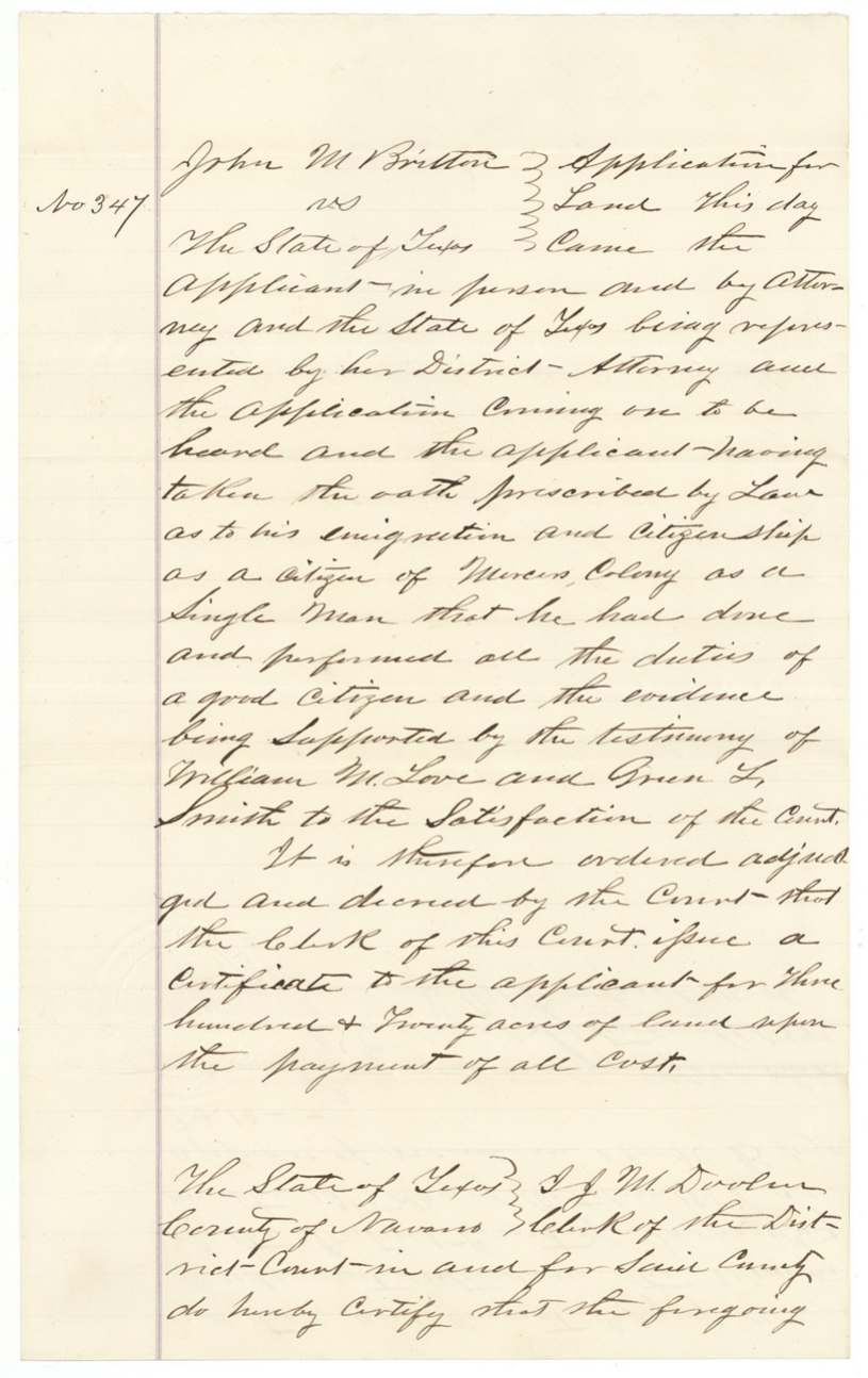
John M. Britton applied 'for a land certificate for six hundred and forty acres as a citizen of Mercer's Colony', took the oath prescribed by law, supported by the testimony of William M. Love and Green(?) L. Smith; to be located on any unappropriated land within the limits of the colony. The 1873 certified copy of the judgment (No. 347, entered 13 Oct 1857, Book B pp. 9-10) says he swore 'as to his emigration and citizenship as a citizen of Mercer's Colony as a single man' and orders a certificate for three hundred and twenty acres.
Changes of hand
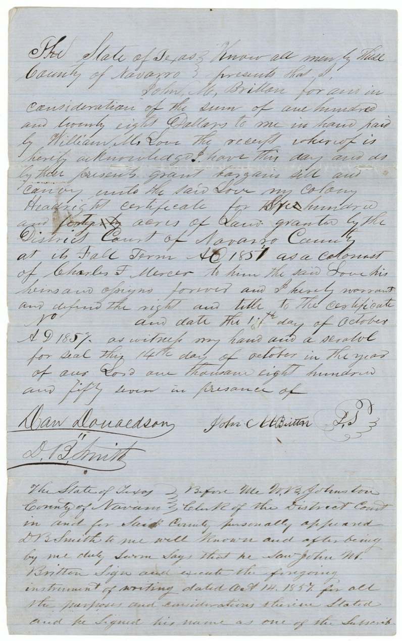
- 14 Oct 1857John M. Britton → William M. Love, $128, Navarro County. Conveys 'my colony headright certificate for six hundred and forty acres' granted by the District Court at its Fall Term 1857 as a colonist of Charles F. Mercer; the acreage words appear to have been written over (possibly 'three hundred and twenty' changed to 'six hundred and forty'). Certificate number left blank; dated 'the 15th(?) day of October 1857'. Filed GLO 6 Jan 1872.
The survey
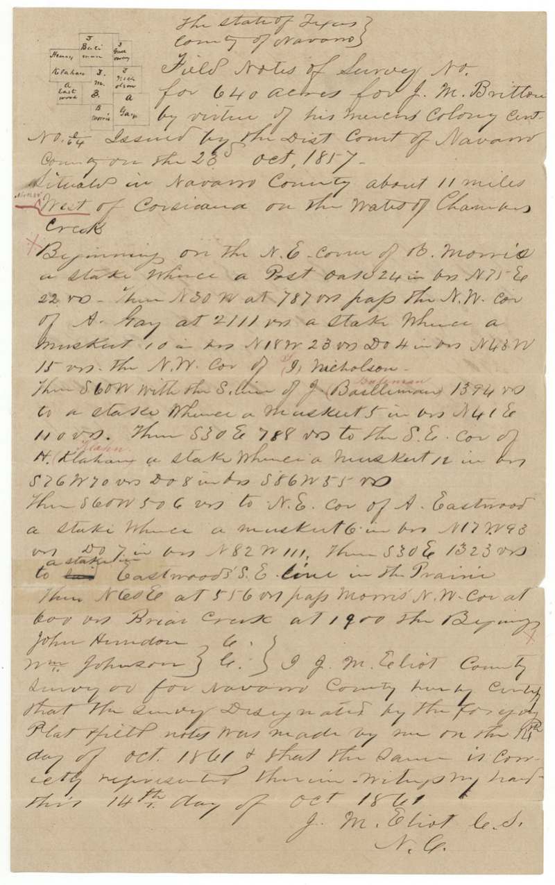
14 Oct 1861, J. M. Eliot, County Surveyor, Navarro County.
Navarro County, about 11 miles West (red: 'North 84° West'(?)) of Corsicana, on the waters of Chambers Creek; crosses Briar Creek
Chain carriers: John Herndon, Wm. Johnson.
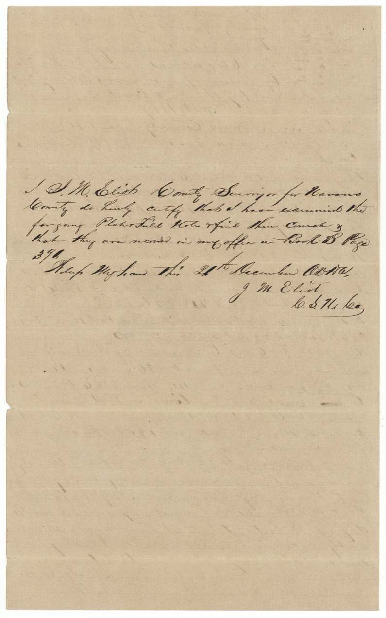
Navarro County Book B page 398, 24 Dec 1861
The patent
1873-10-10 (patent order dated Oct 9/73), No. 383, Vol. 41, to William M. Love, assignee, delivered to not stated.
Also in the file
- The court record copied in 1873 orders a certificate for 320 acres, but the certificate the clerk issued in 1857 is for 640 acres. In 1873 the Land Office asked for a report on whether the certificate was genuine before it would patent.
- In the sale to William M. Love the acreage words look as if they were written over, apparently turning a smaller figure into 'six hundred and forty'.
- Britton sold the certificate on 14 October 1857 for $128 — the day before he applied to the court and nine days before the certificate was issued — and the buyer, William M. Love, was one of the two witnesses who swore to Britton's citizenship.
- The same clerk, J. M. Riggs, who issued this certificate appears in another file as administrator of the Aaron Kitchell estate.
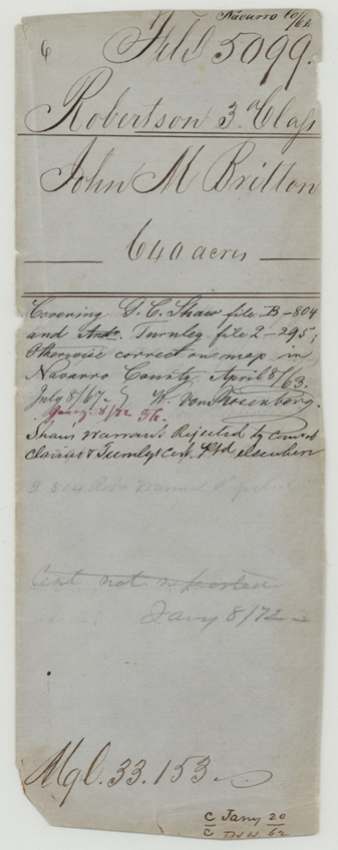
- The survey was first found to overlap a G. C. Shaw bounty file and an Andrew Turnley file; Shaw's warrant was later rejected by the Court of Claims and Turnley's certificate was patented elsewhere, which cleared the way for this patent in 1873.
- Although filed as a Robertson 3rd-class grant, the right came from Mercer's Colony.
Timeline
- 13 Oct 1857District court judgment No. 347 in Britton's favour entered (per 1873 copy)
- 14 Oct 1857Britton sells his colony certificate to William M. Love for $128
- 15 Oct 1857Britton applies to the District Court, Fall Term 1857
- 23 Oct 1857Mercer's Colony certificate No. 64 for 640 acres issued by Clerk J. M. Riggs
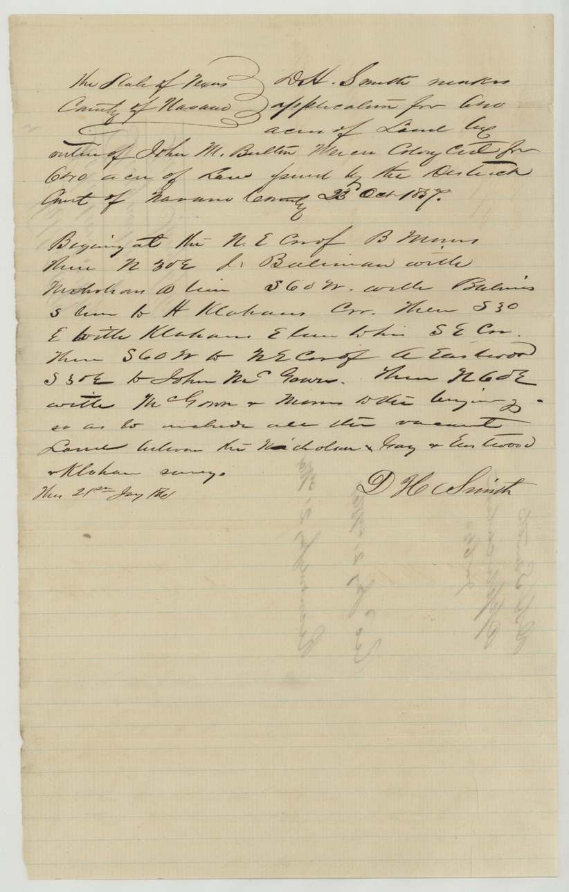
- 21 Jan 1861D. H. Smith files designation for the vacant land between Nicholson, Gay, Eastwood and Klahn
- 14 Oct 1861J. M. Eliot surveys 640 acres on Chambers Creek
- 6 Jan 1862Certificate and field notes filed in the GLO
- 8 Apr 1863Map check finds conflict with Shaw and Turnley files
- 13 Sep 1870Britton-Love transfer proved before the district clerk
- 8 Jan 1872Conflicts noted as cleared
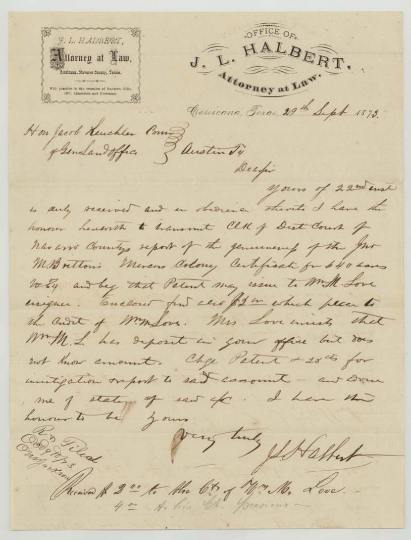
- 29 Sep 1873Attorney J. L. Halbert writes asking for patent to Love
- 10 Oct 1873Patent No. 383 Vol. 41 issued to William M. Love, assignee
The papers in the file
Every page of the Land Office file, in the order the Land Office keeps them (18 pages). Tap a page to see it larger.
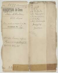 File jacketFile jacket for John M. Britton's Mercer's Colony certificate, 640 acres, with a list of the papers inside.General Land Office, file 5099, page 1 · in the scan
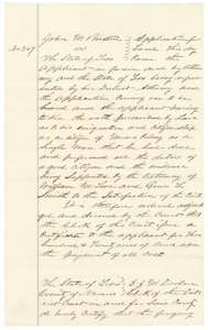 Other papersCertified copy of the Navarro County district court judgment of October 1857 ordering a land certificate for John M. Britton as a citizen of Mercer's Colony.General Land Office, file 5099, page 2 · in the scan
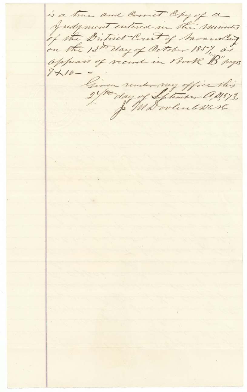
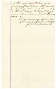 Other papersEnd of the certified copy of the judgment, certified by the district clerk on 27 September 1873 from the court minutes.General Land Office, file 5099, page 3 · in the scan
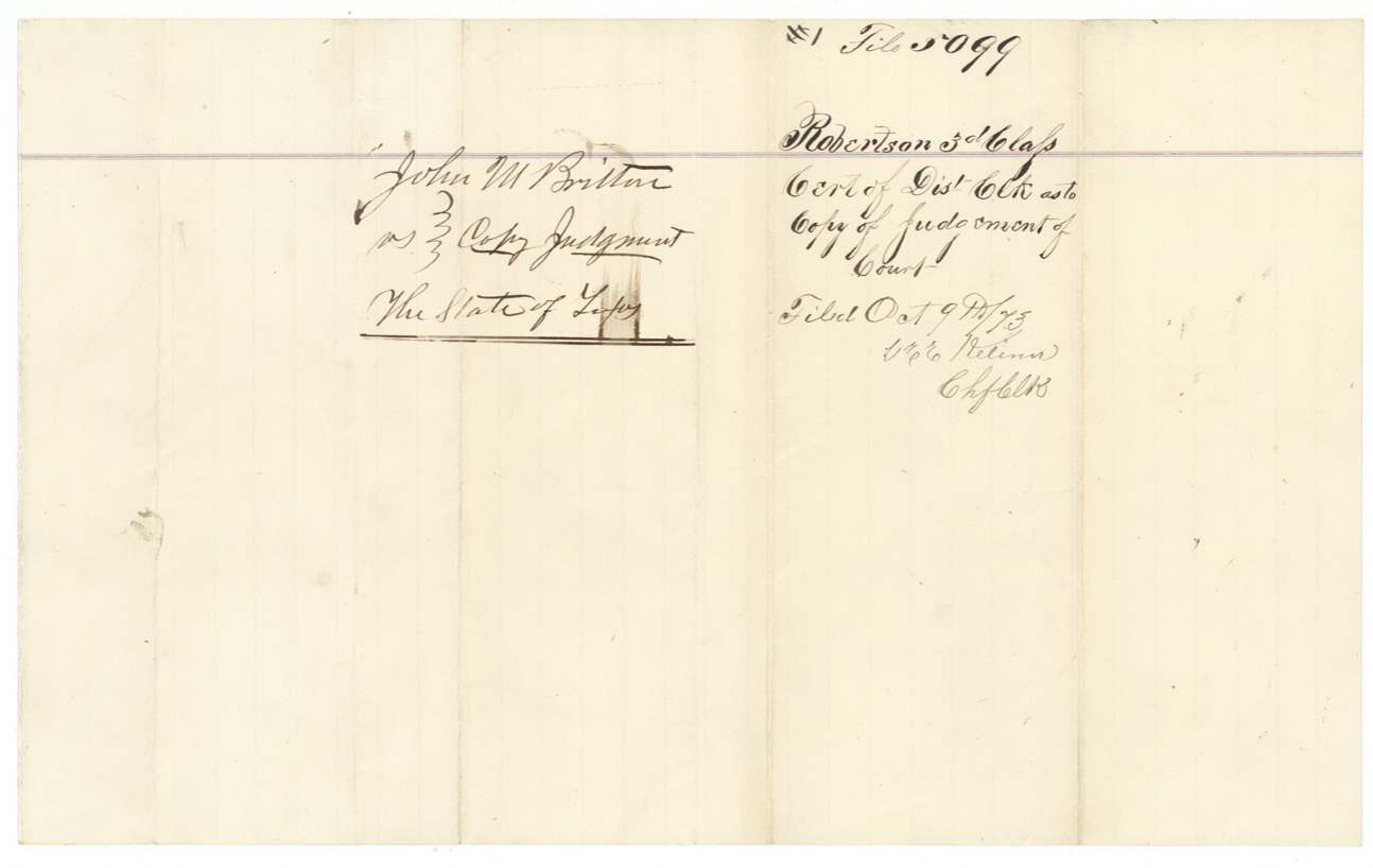
 WrapperFiling wrapper for the copy of the district court judgment in John M. Britton's case against the State of Texas.General Land Office, file 5099, page 4 · in the scan
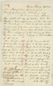 CertificateMercer's Colony certificate No. 64 for 640 acres, issued to John M. Britton by the Navarro County district court at Corsicana, 23 October 1857.General Land Office, file 5099, page 5 · in the scan
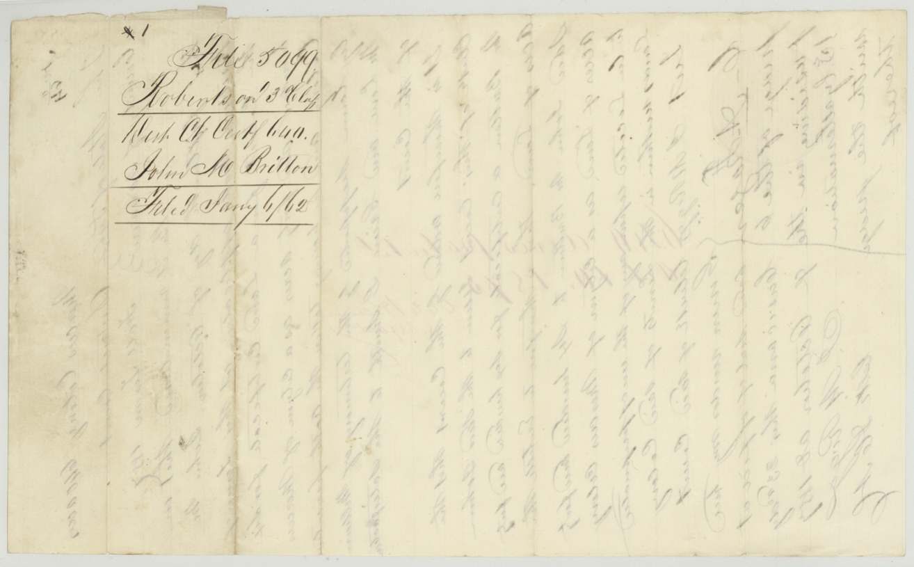
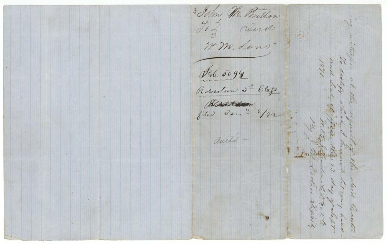
 WrapperFiling wrapper for Mercer's Colony certificate No. 64, John M. Britton, Robertson 3rd Class.General Land Office, file 5099, page 6 · in the scan
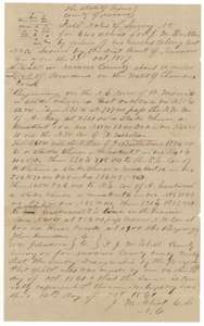 Field notesField notes for 640 acres for John M. Britton on the waters of Chambers Creek, west of Corsicana, surveyed by county surveyor J. M. Eliot, 14 October 1861.General Land Office, file 5099, page 7 · in the scan
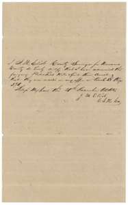 Surveyor's certificateCertificate of county surveyor J. M. Eliot that the Britton field notes are recorded in his Navarro County office, December 1861.General Land Office, file 5099, page 8 · in the scan
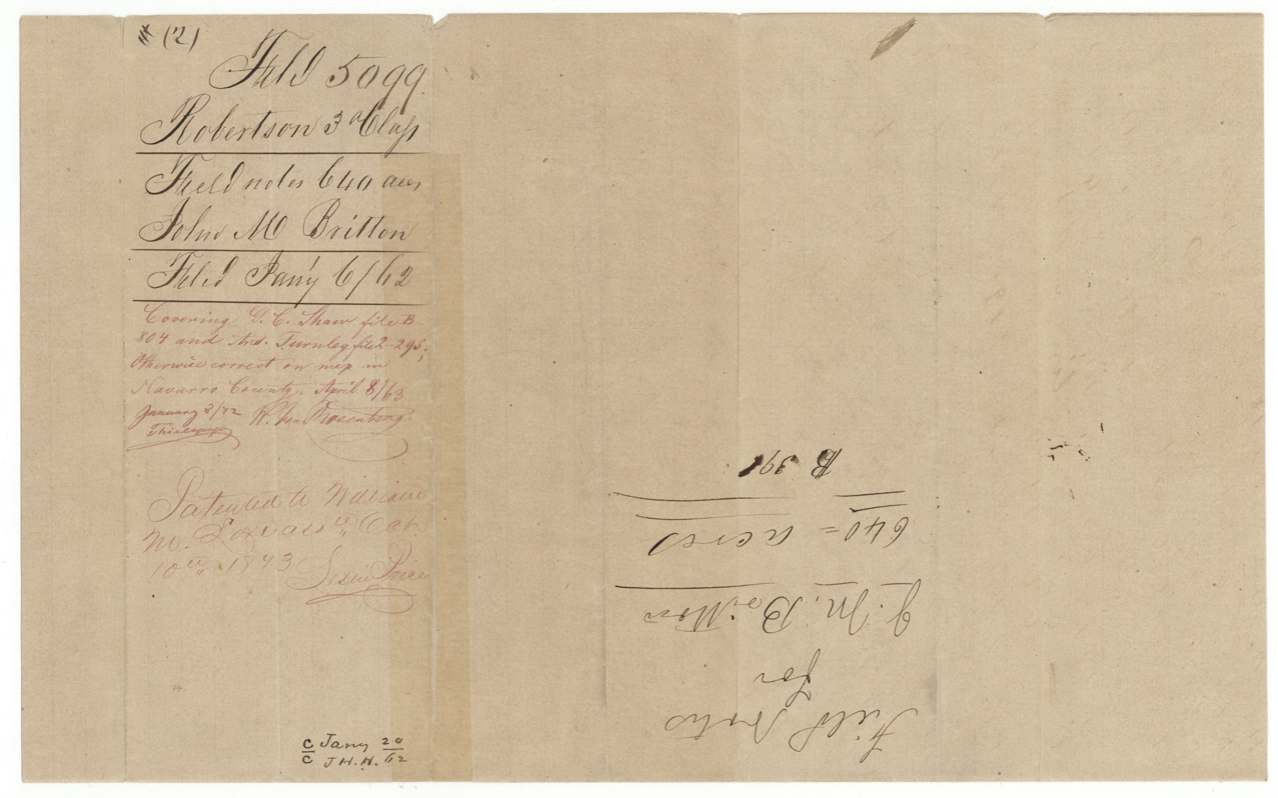
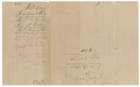 WrapperFiling wrapper for the field notes of 640 acres for John M. Britton, with map-check notes on neighbouring surveys.General Land Office, file 5099, page 9 · in the scan
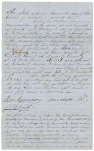 TransferTransfer of 14 October 1857 in which John M. Britton sells his colony certificate for 640 acres to William M. Love for $128.General Land Office, file 5099, page 10 · in the scan
 WrapperWrapper for the transfer from John M. Britton to William M. Love, with a Land Office filing note of January 1872.General Land Office, file 5099, page 11 · in the scan
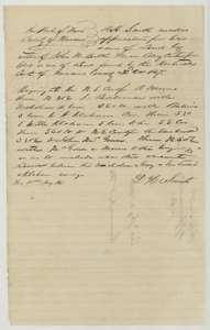 Other papersDesignation of 21 January 1861 by D. H. Smith, naming the vacant land between neighbouring surveys to be covered by Britton's certificate.General Land Office, file 5099, page 12 · in the scan
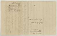 WrapperFiling wrapper for the designation of land under John M. Britton's certificate.General Land Office, file 5099, page 13 · in the scan
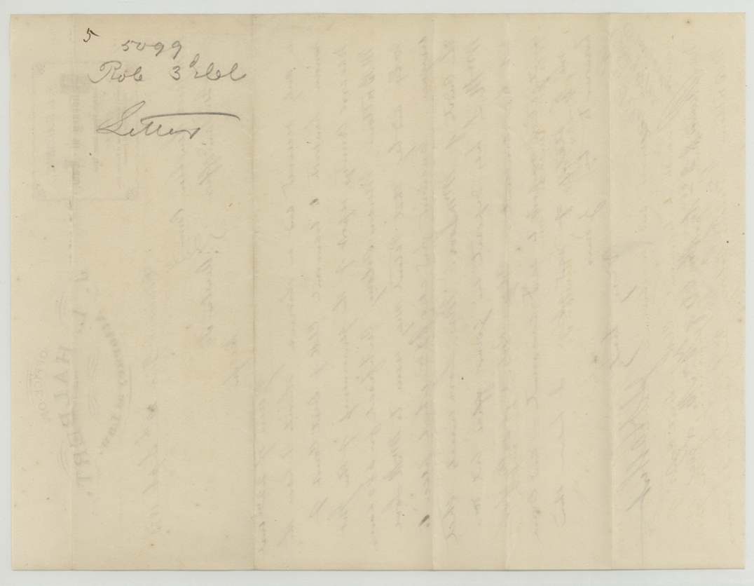
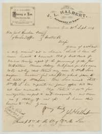 LetterLetter of 29 September 1873 from Corsicana attorney J. L. Halbert to the Land Commissioner, asking that the patent issue to William M. Love.General Land Office, file 5099, page 14 · in the scan
 WrapperFiling wrapper for letters in the John M. Britton file.General Land Office, file 5099, page 15 · in the scan
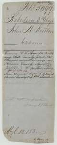 WrapperOld file wrapper for the Britton certificate, with Land Office map-check notes on conflicts with neighbouring surveys.General Land Office, file 5099, page 16 · in the scan
 WrapperFolded wrapper with a faint filing note.General Land Office, file 5099, page 17 · in the scan
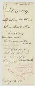 WrapperOuter wrapper of the Britton file, noting the patent to William M. Love, assignee, in October 1873.General Land Office, file 5099, page 18 · in the scan
Scans courtesy of the Texas General Land Office, Austin, from its Land Grant Database.
On this ground today
- Historical markerGrange Hall Cemetery
Places that stand inside this survey’s lines as the state’s survey map draws them.
Neighbouring surveys
Sources
- Texas General Land Office, Land Grant Database: Navarro County, Abstract 116
- The Land Office file, scanned (PDF, at the General Land Office)
- 1924 map: courtesy of the Texas General Land Office, Austin, Map 73249, used under licence. Topo: U.S. Geological Survey, The National Map. Aerial photographs: U.S. Department of Agriculture, National Agriculture Imagery Program, 2012, 2018 and 2022. Survey outlines: Railroad Commission of Texas, Original Texas Land Survey. Grant records and files: Texas General Land Office.