Blackland TX · ← All the original surveys
Stephen Nicholson Survey, Abstract 622
- Granted to
- Stephen Nicholson
- Kind of grant
- Bounty warrantLand paid for service in the army of the Republic.
- Land Office file
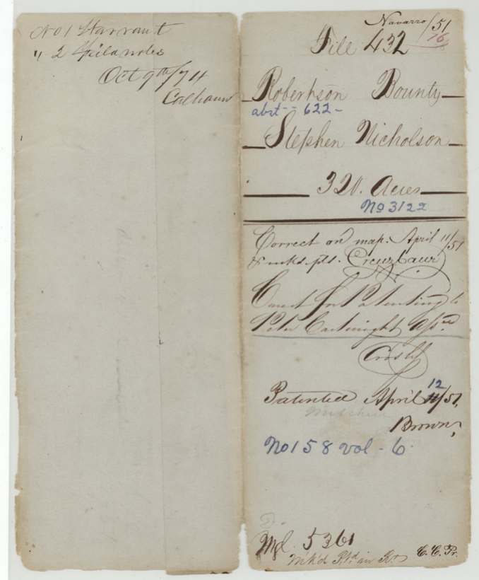
- Robertson Bounty, file 432
- Certificate
- No. 3122
- Acres
- 320
- Patented to
- Peter Cartwright
- Patent
- 12 Apr 1851 · No. 158, Vol. 6
Tap a survey to open its page.
What the file shows
Stephen Nicholson served three months in the Army of Texas from July to October 1836 and earned a 320-acre bounty, but by the time Secretary of War Barnard E. Bee issued certificate No. 3122 at Houston on May 1, 1838 the right already belonged to Peter Cartwright as his assignee. D. R. Mitchell surveyed the land on May 18, 1846, on the south side of Chambers Creek in the newly created Navarro County, next to the Andrew J. Turnley 640 and Appleton Gay surveys, and recorded it in 1848. After the certificate was approved in April 1851, the patent issued to Cartwright on April 12, 1851 (No. 158, Vol. 6).
The certificate
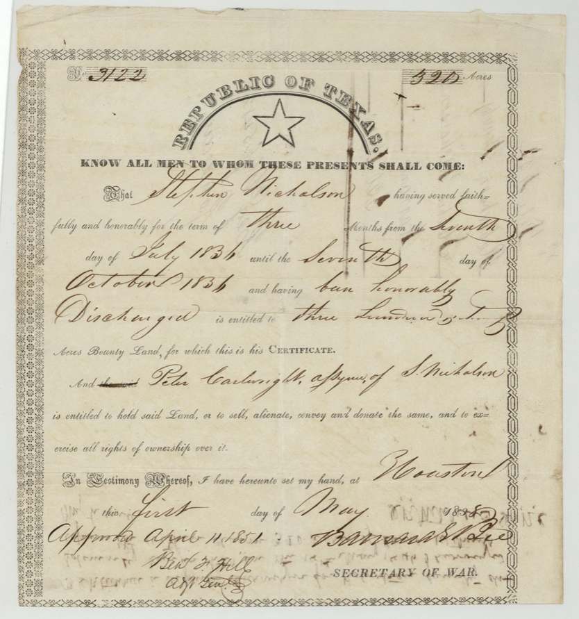
bounty, No. 3122, 320 acres, Barnard E. Bee, Secretary of War (printed Republic of Texas form); approved April 11, 1851 by Ben F. Hill, Adjt. Genl., Houston, 1 May 1838.
Served faithfully and honorably for three months, from 7 July 1836 to 7 October 1836, and honorably discharged
Changes of hand
- before 1838-05-01Stephen Nicholson → Peter Cartwright. No deed of transfer in this file; the certificate itself names Cartwright as assignee at issue.
The survey
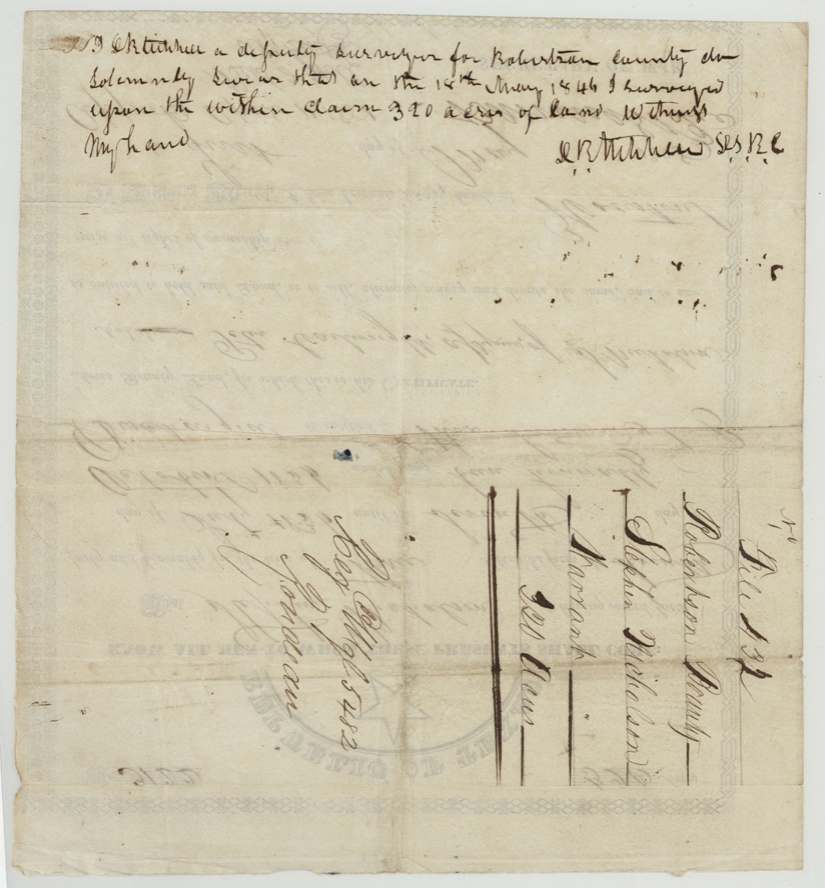
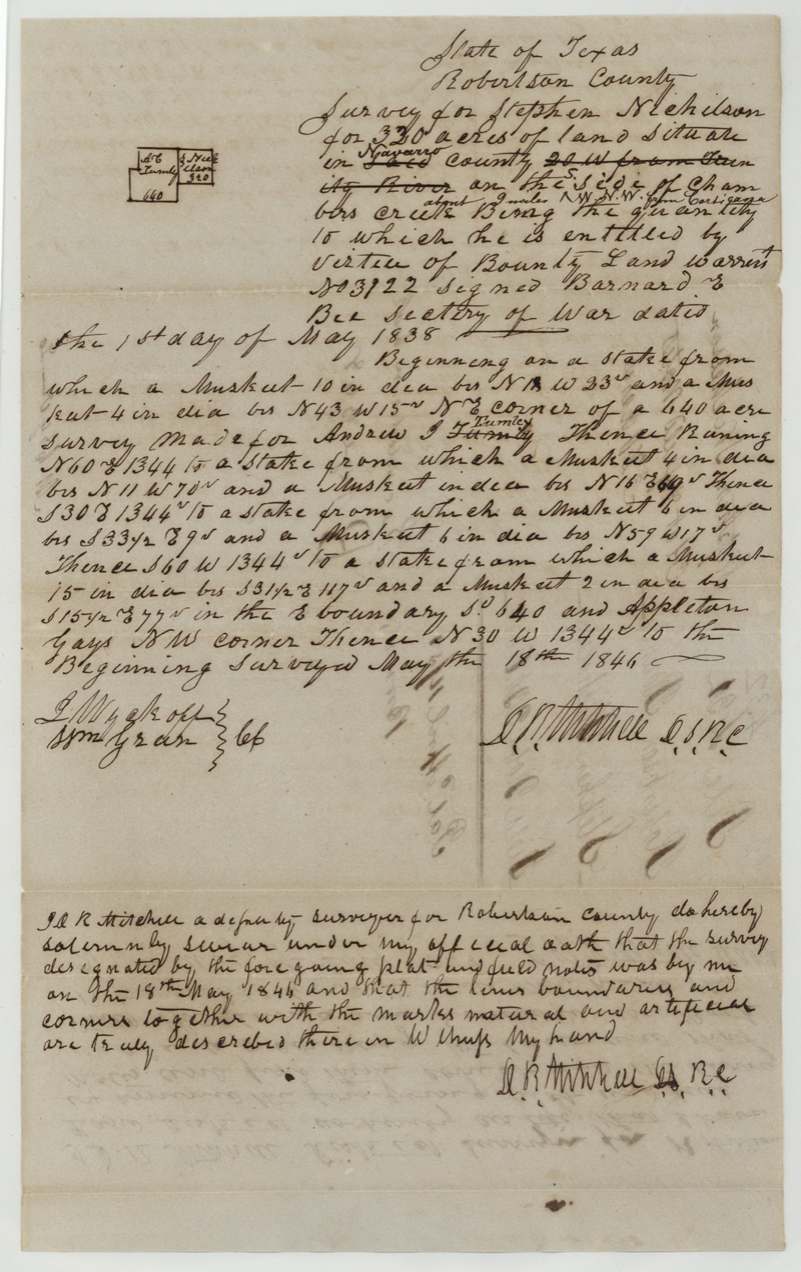
18 May 1846, D. R. Mitchell, Deputy Surveyor, Robertson County.
Navarro County ('Lee'(?) county struck through), on the south side of Chambers Creek, about 9(?) miles N.N.W.(?) from Corsicana; original wording '20 W from Trinity River' struck
Chain carriers: L. Wyckoff(?), Wm. Green(?).
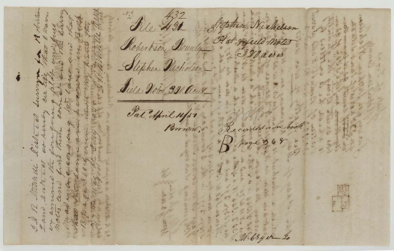
Book B, page 368
The patent
1851-04-12 (wrapper corrected from 11 to 12; field-note jacket 'Pat. April 11/51'), No. 158, Vol. 6, to Peter Cartwright, assignee, delivered to not stated.
Also in the file
- Nicholson had sold his bounty right before the certificate was even written: the Secretary of War made it out naming Peter Cartwright as assignee in May 1838.
- The survey was first drafted as being in another county (a struck-out county name) '20 W from Trinity River' and corrected to Navarro County, south side of Chambers Creek — Navarro was created in April 1846, a month before the survey.
- The 1838 certificate was not 'approved' until April 11, 1851 — the same day the land was checked on the map — and the patent followed a day later.
- District surveyor D. R. Mitchell examined and approved his own deputy survey two years after he made it.
Timeline
- 7 Jul 1836Nicholson begins three months' service in the Army of Texas
- 7 Oct 1836Service ends; honorably discharged
- 1 May 1838Bounty certificate No. 3122 for 320 acres issued at Houston, naming Peter Cartwright as assignee
- 18 May 1846D. R. Mitchell surveys 320 acres on south side of Chambers Creek
- 27 Jul 1848Field notes examined and recorded, Book B p. 368
- 11 Apr 1851Certificate approved by Ben F. Hill; tract checked correct on map
- 12 Apr 1851Patent No. 158, Vol. 6 issued to Peter Cartwright, assignee
The papers in the file
Every page of the Land Office file, in the order the Land Office keeps them (5 pages). Tap a page to see it larger.
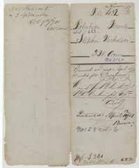 File jacketFile jacket for Stephen Nicholson's 320-acre bounty land survey, with the patent of 12 April 1851 to Peter Cartwright as assignee.General Land Office, file 432, page 1 · in the scan
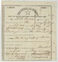 CertificateRepublic of Texas bounty certificate No. 3122 for 320 acres, issued at Houston, 1 May 1838, for Stephen Nicholson's three months' army service in 1836.General Land Office, file 432, page 2 · in the scan
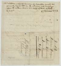 WrapperBack of the bounty certificate, with deputy surveyor D. R. Mitchell's oath of May 1846 that he surveyed the 320 acres, and the file docket.General Land Office, file 432, page 3 · in the scan
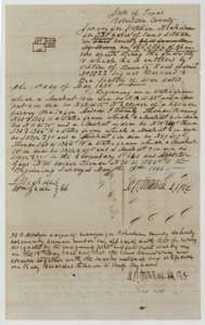 Field notesField notes for 320 acres on Chambers Creek, surveyed for Stephen Nicholson by deputy surveyor D. R. Mitchell, 18 May 1846, with a small plat.General Land Office, file 432, page 4 · in the scan
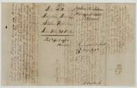 WrapperField notes jacket for Stephen Nicholson's 320 acres, recorded in Book B, page 368, with the surveyor's recording certificate and the patent note of April 1851.General Land Office, file 432, page 5 · in the scan
Scans courtesy of the Texas General Land Office, Austin, from its Land Grant Database.
Neighbouring surveys
Sources
- Texas General Land Office, Land Grant Database: Navarro County, Abstract 622
- The Land Office file, scanned (PDF, at the General Land Office)
- 1924 map: courtesy of the Texas General Land Office, Austin, Map 73249, used under licence. Topo: U.S. Geological Survey, The National Map. Aerial photographs: U.S. Department of Agriculture, National Agriculture Imagery Program, 2012, 2018 and 2022. Survey outlines: Railroad Commission of Texas, Original Texas Land Survey. Grant records and files: Texas General Land Office.